-
Announcement
-
Program
-
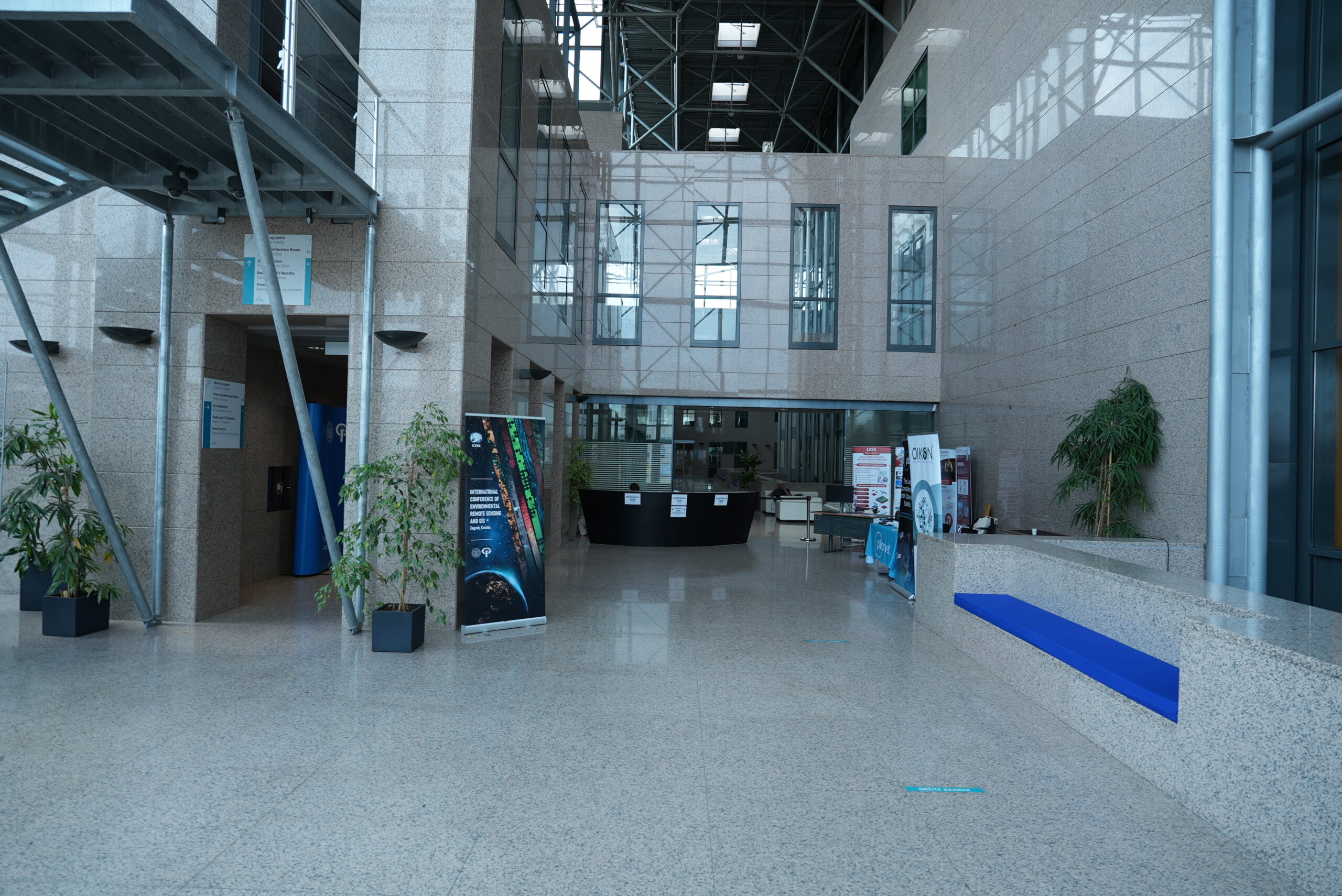
Venue
-
Keynote
-
Committees
-
Registration
-
Payment
-
Accommodation
-
Grants
-
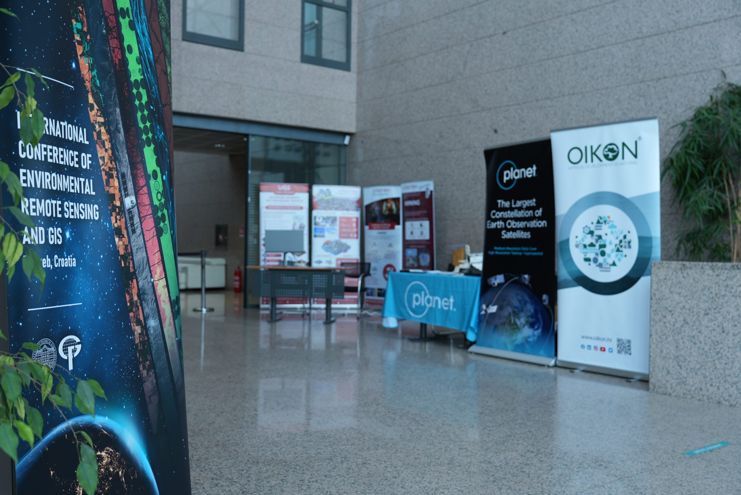
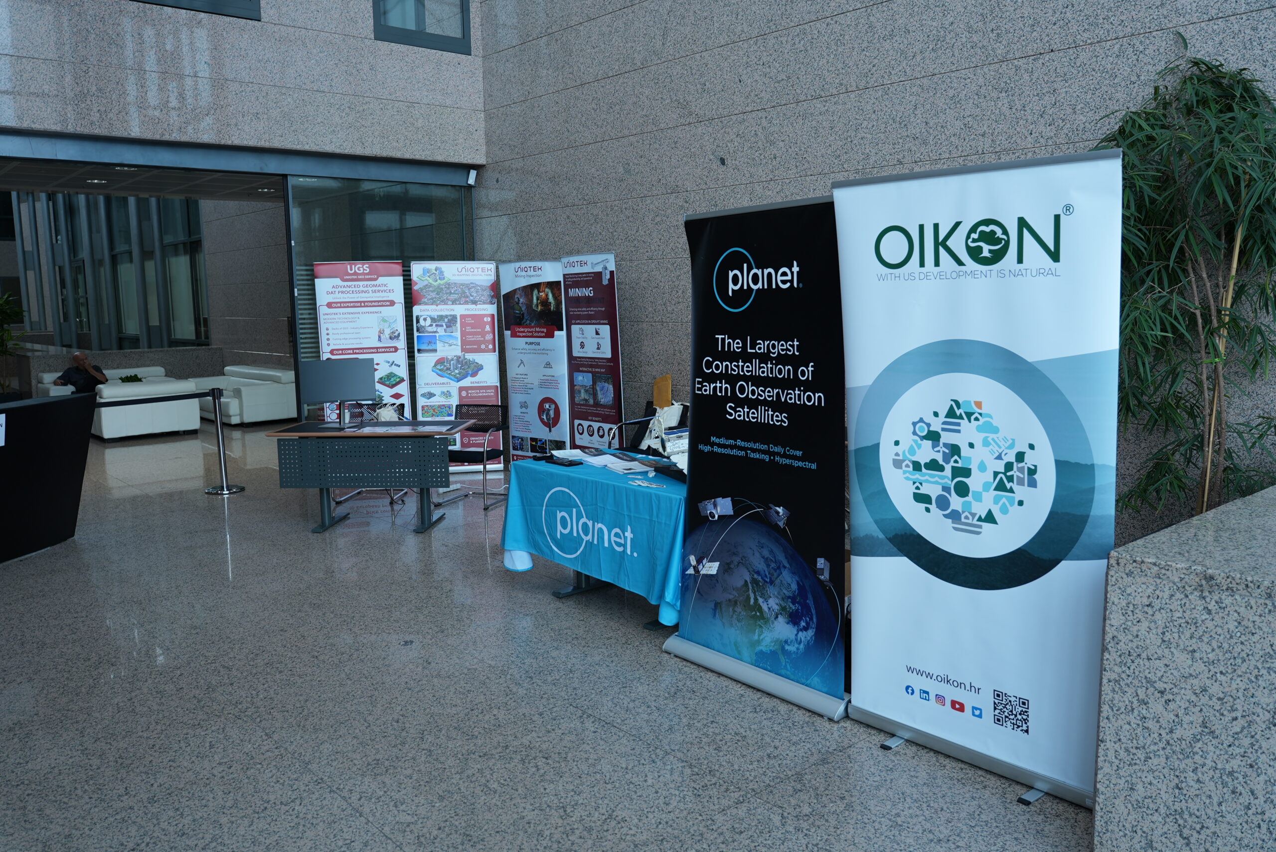
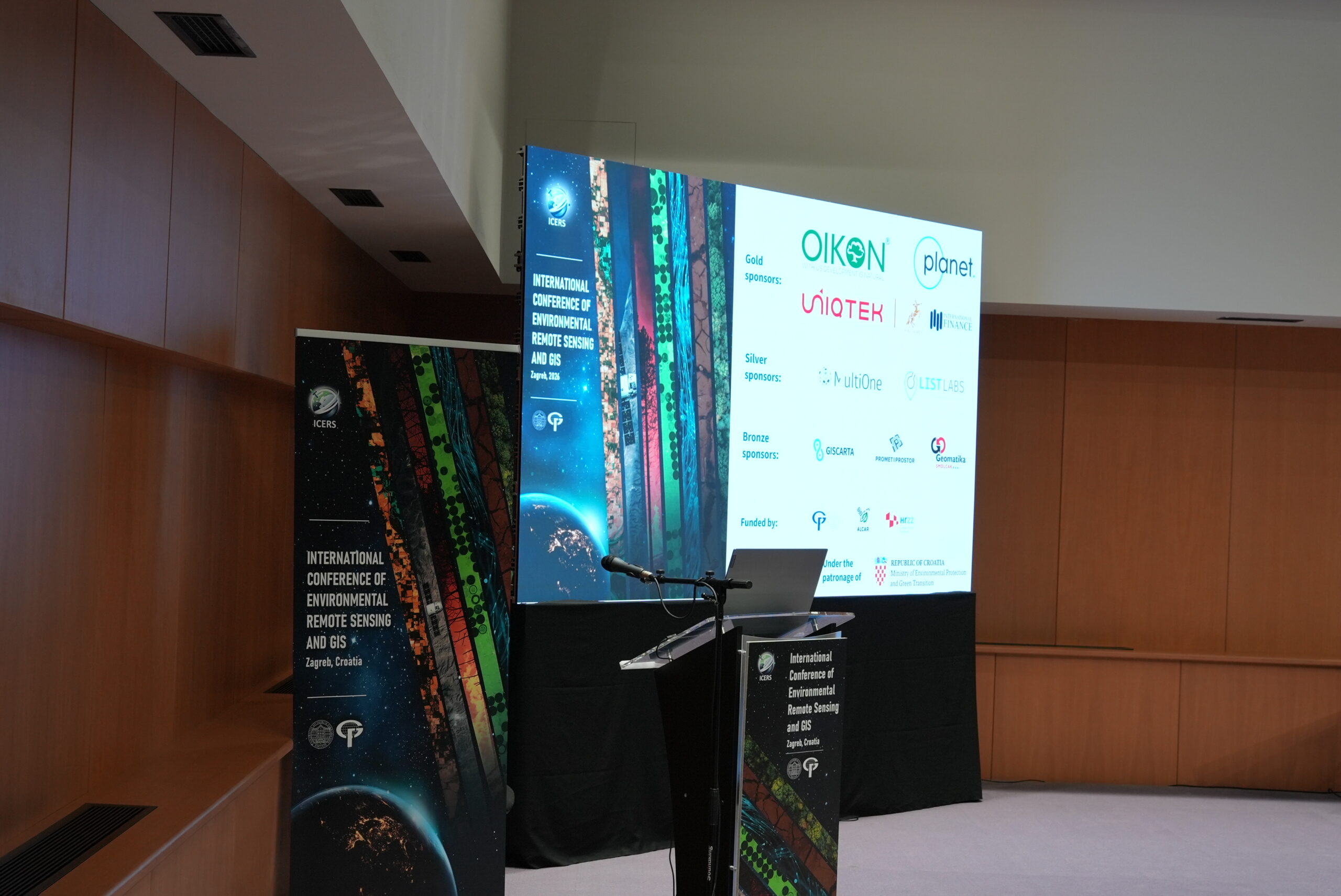
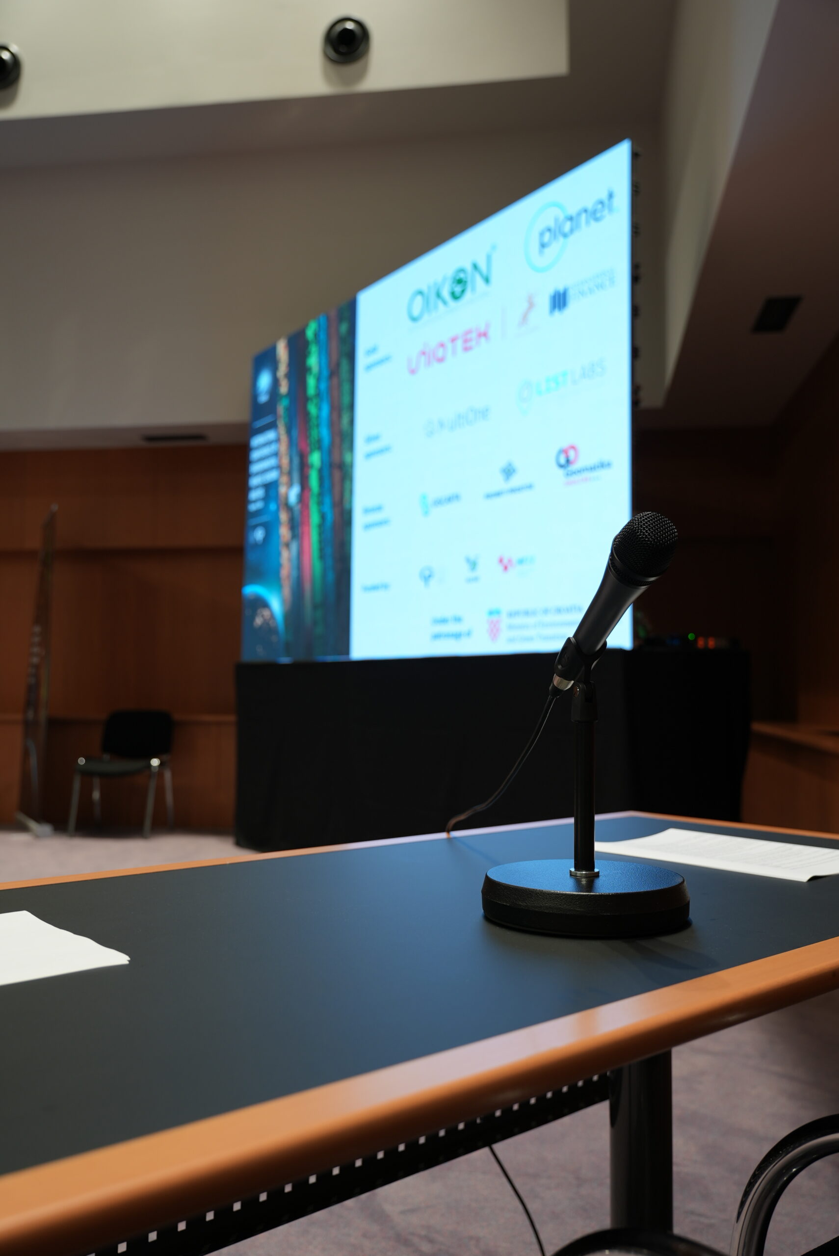
Sponsors
-
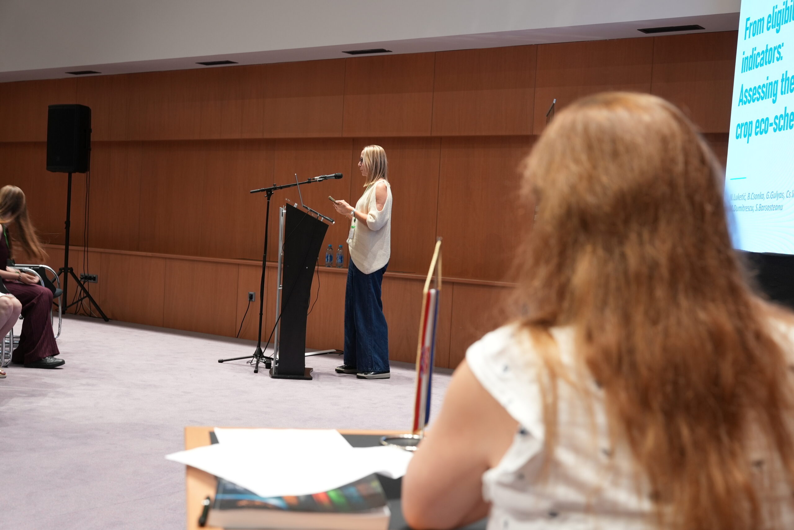
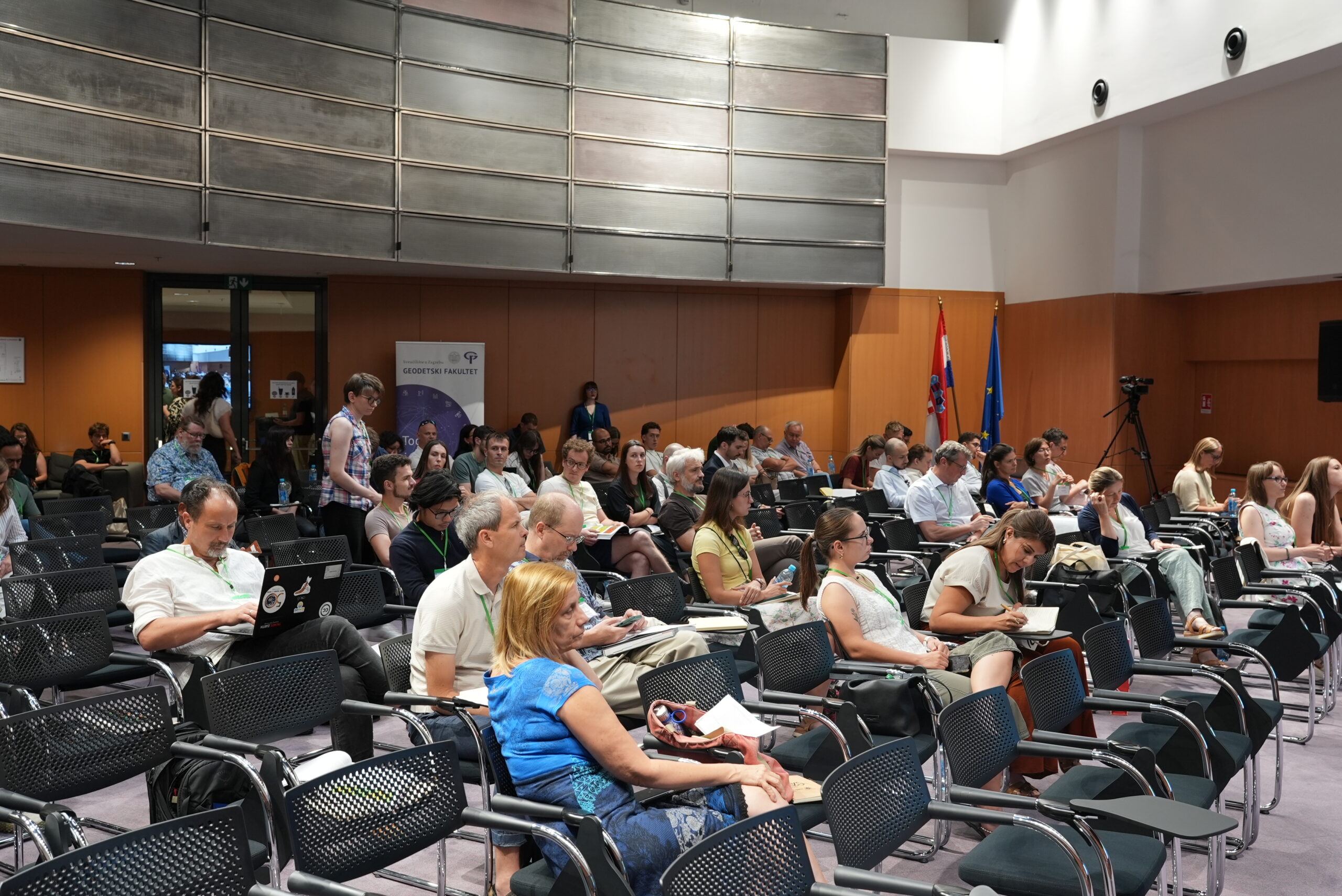
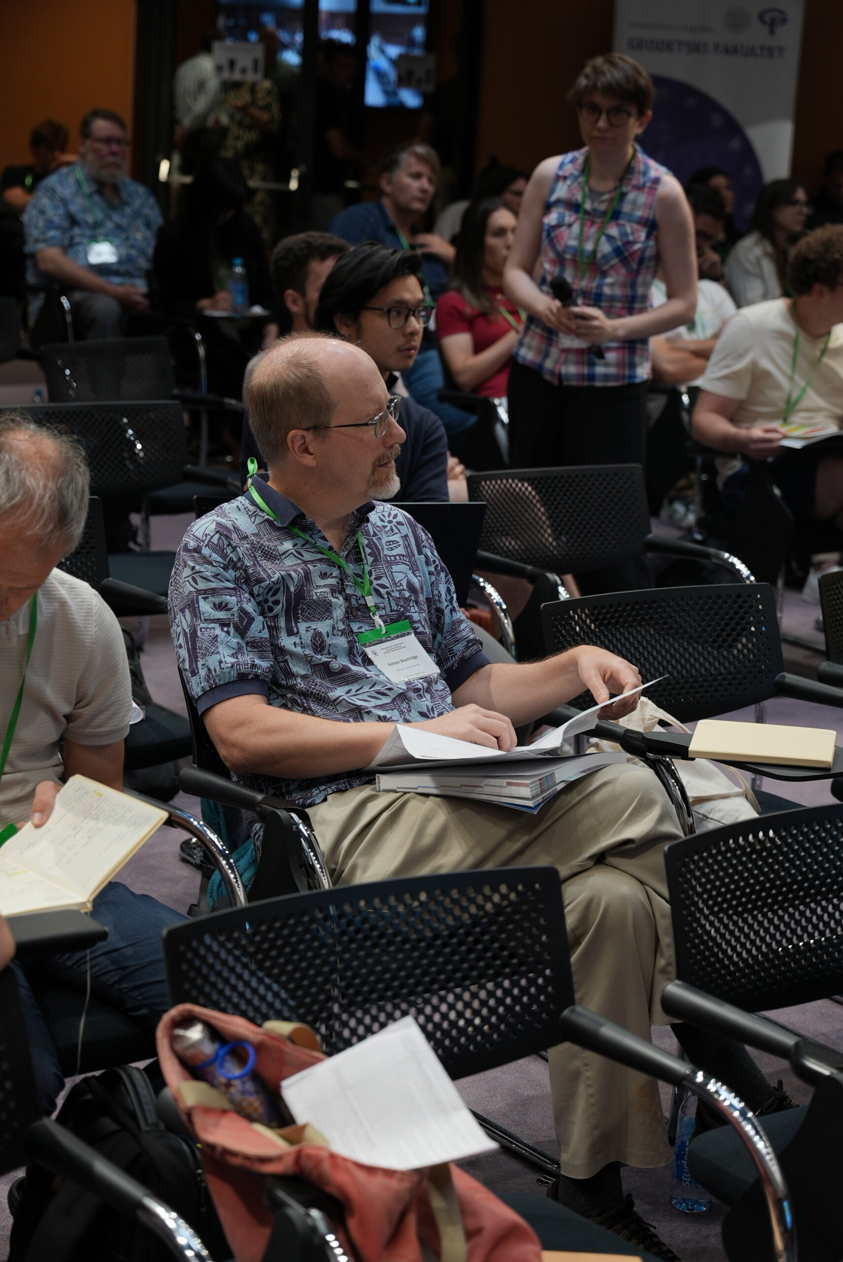
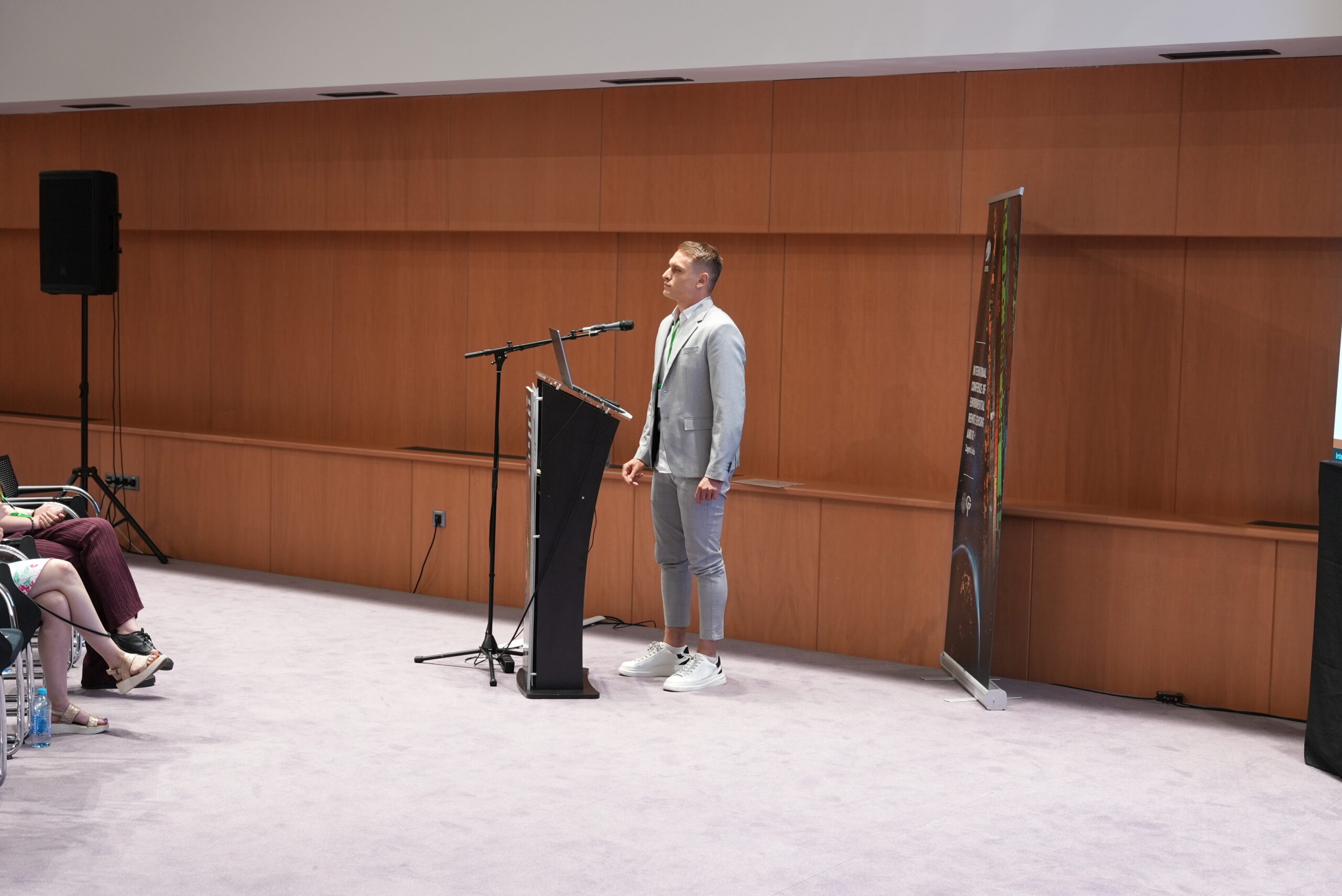
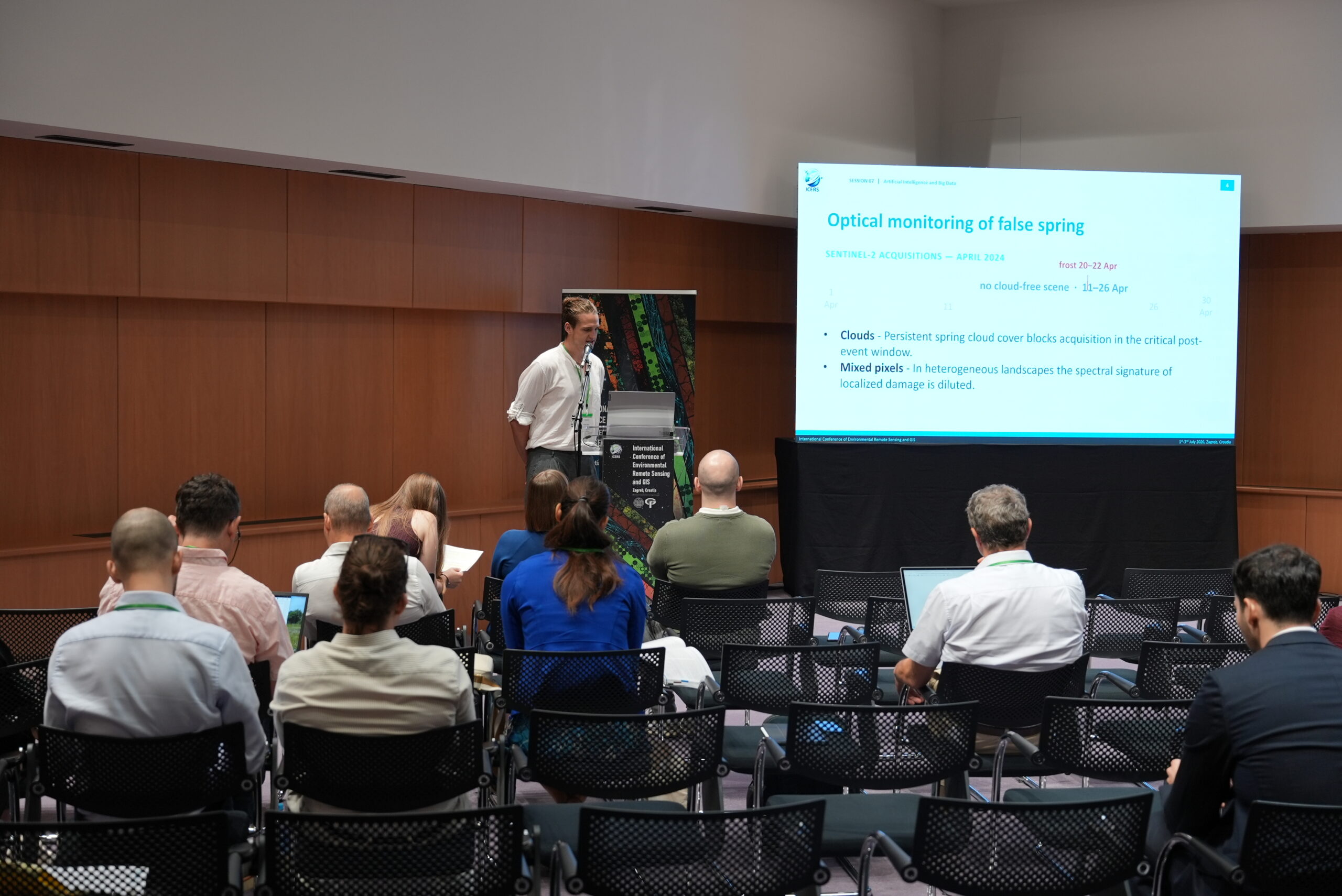
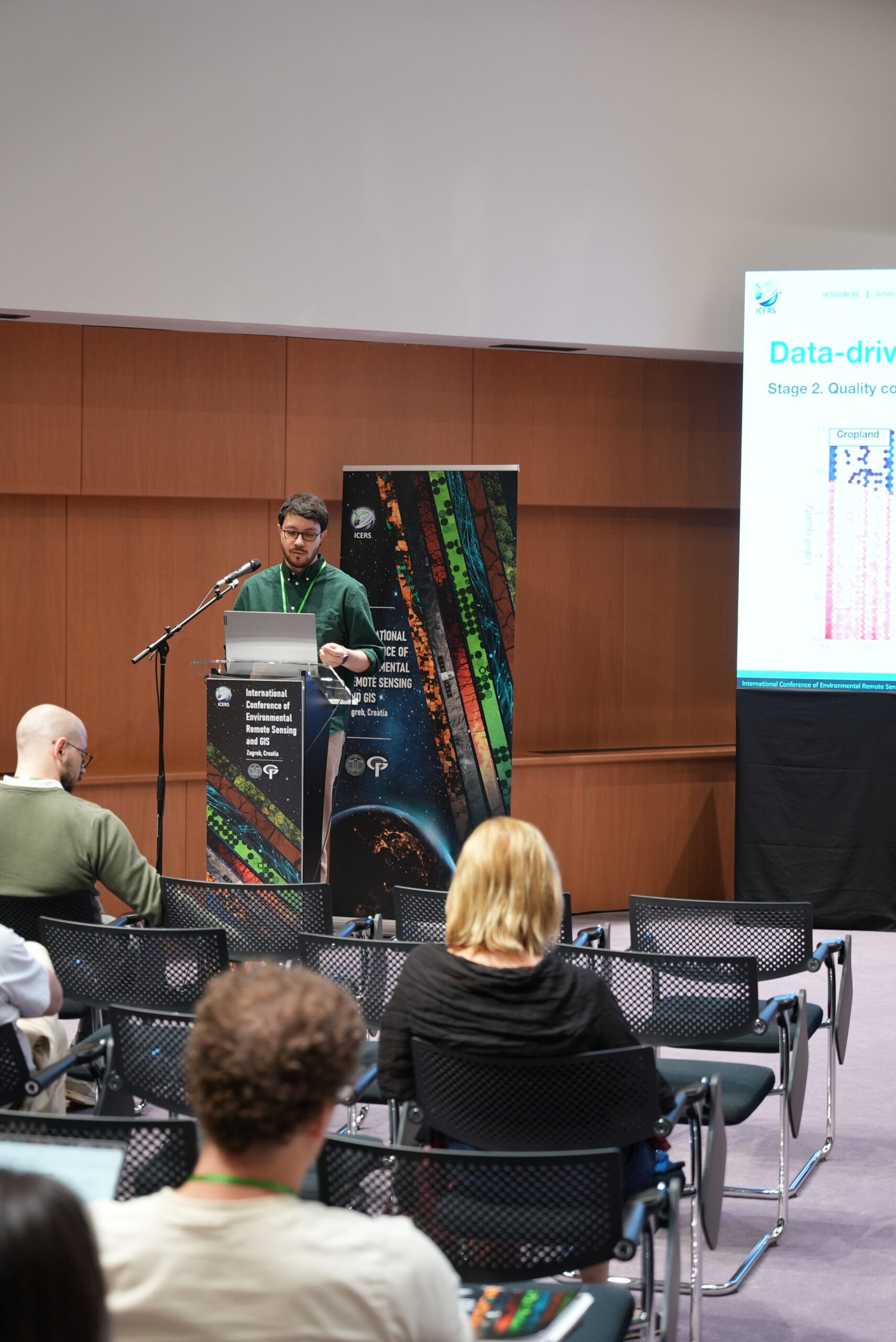
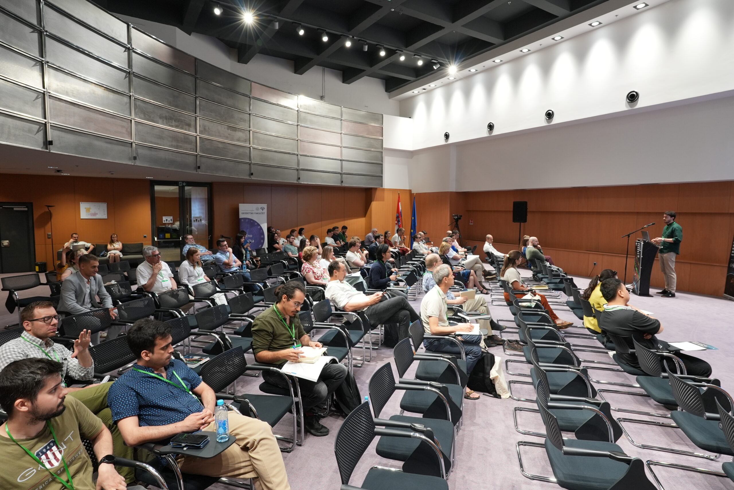
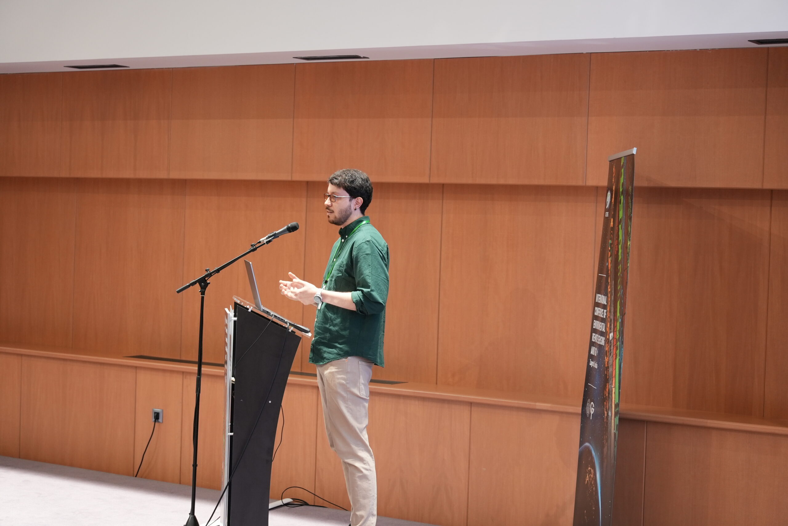
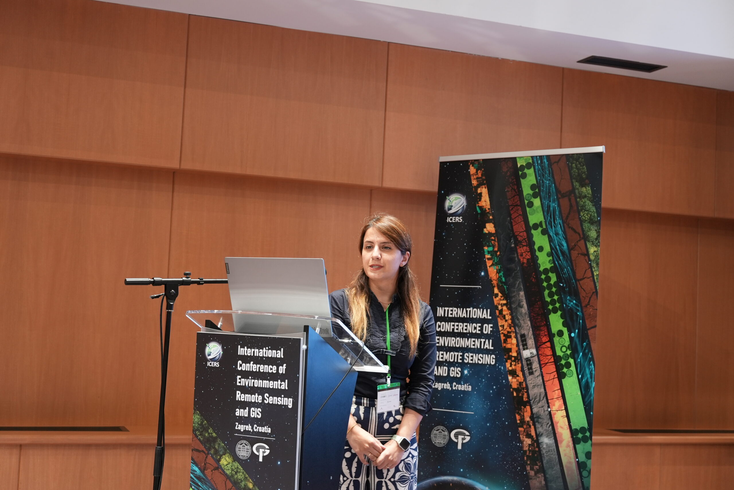
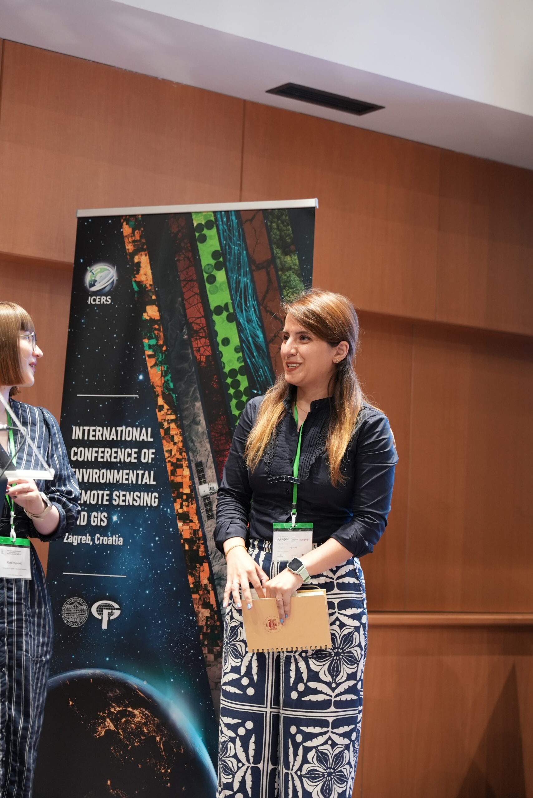
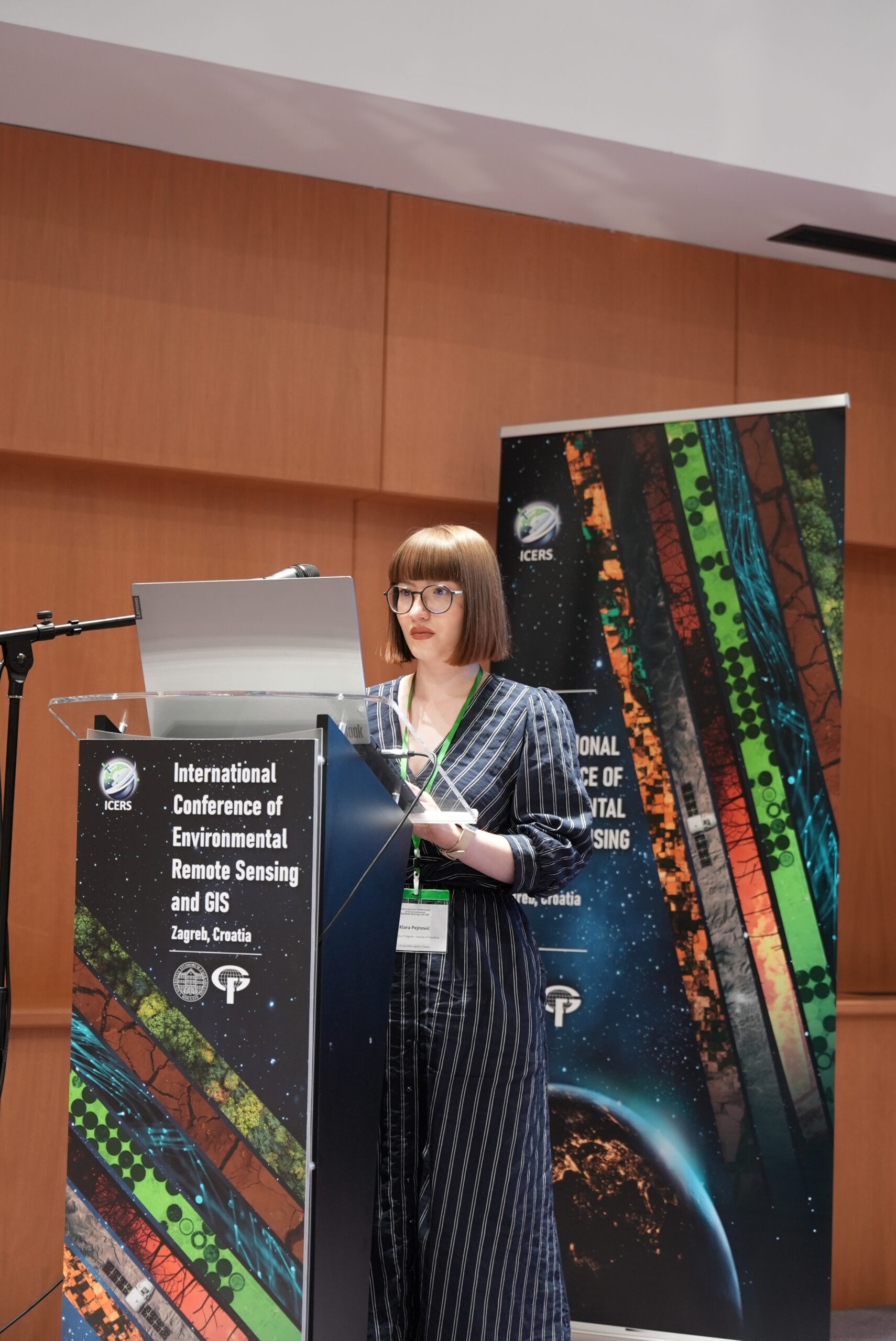
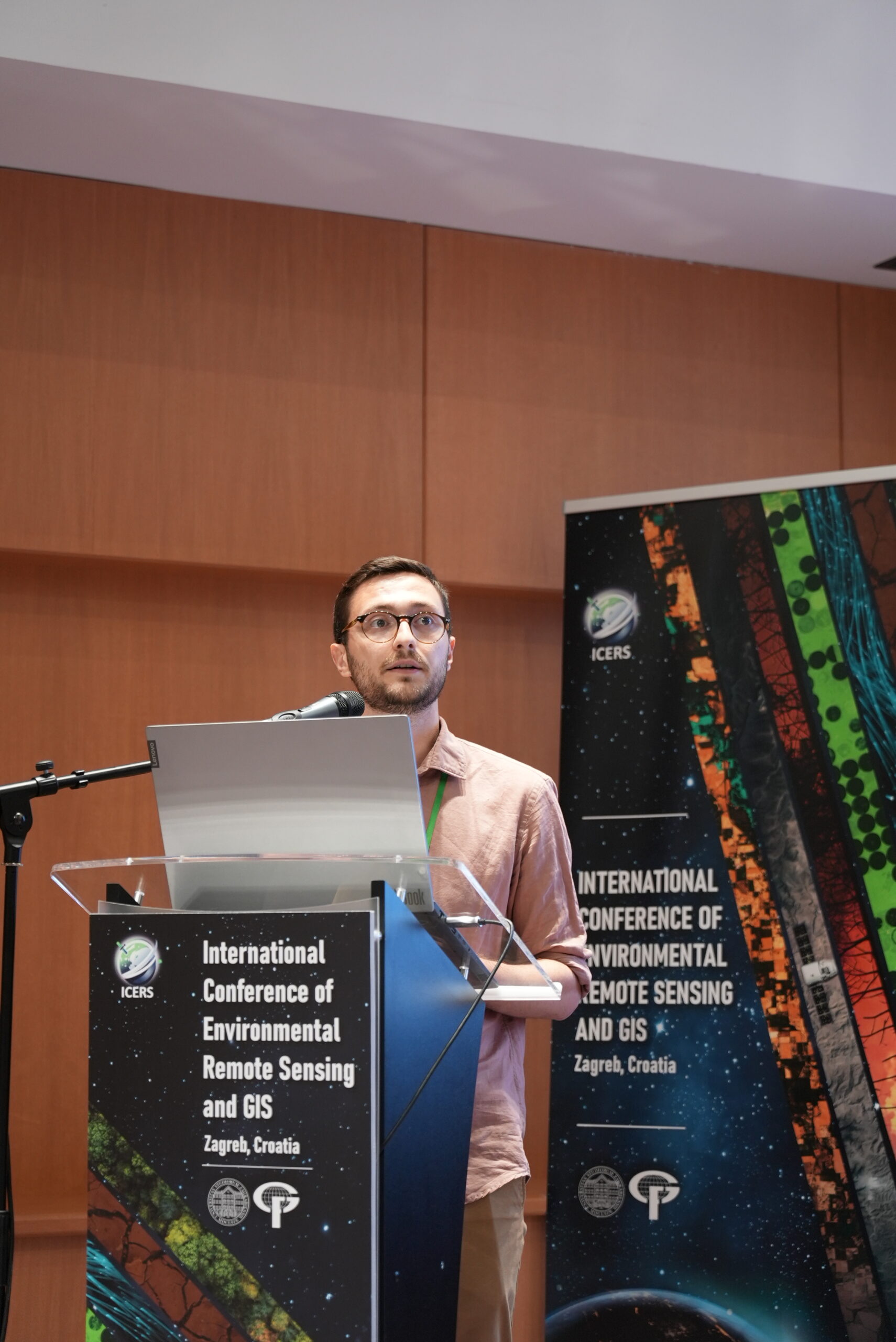
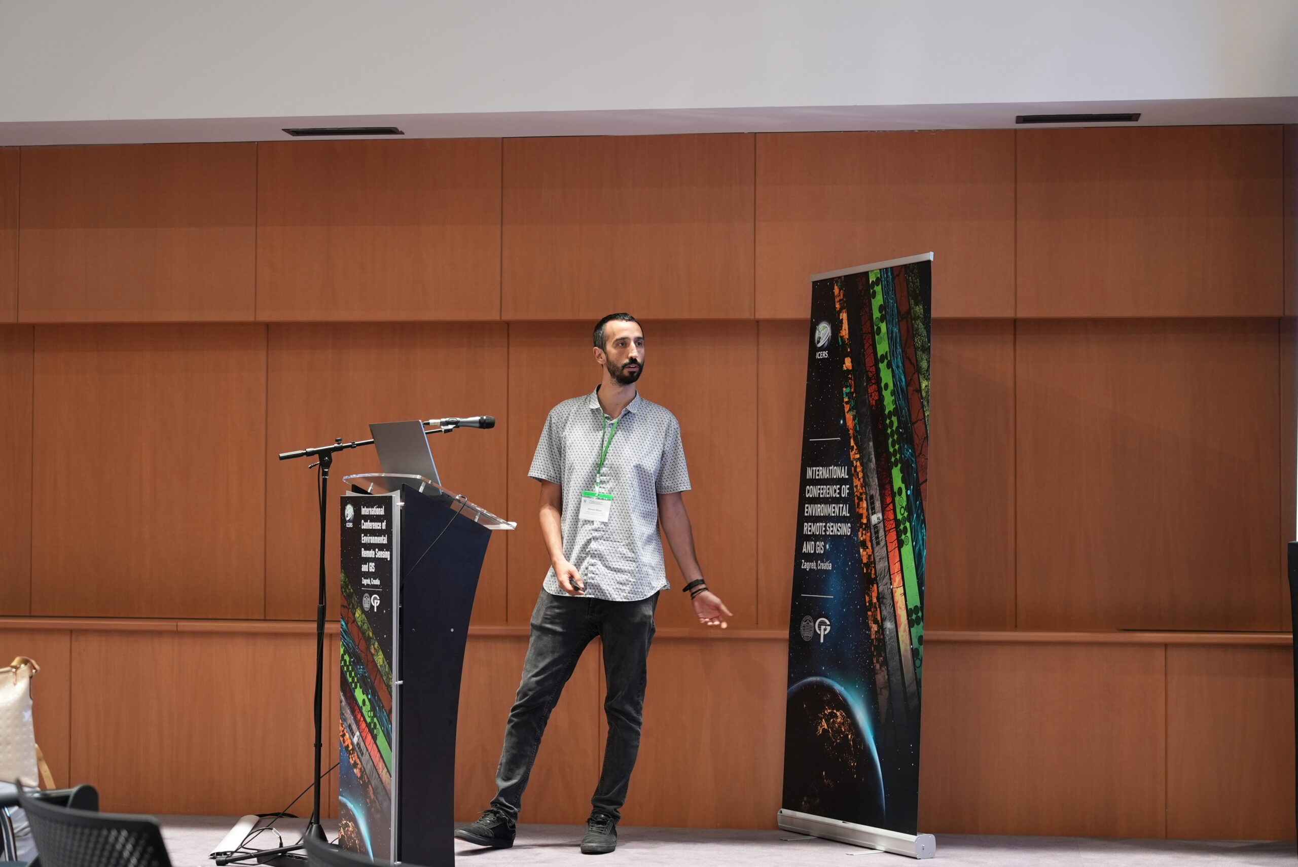
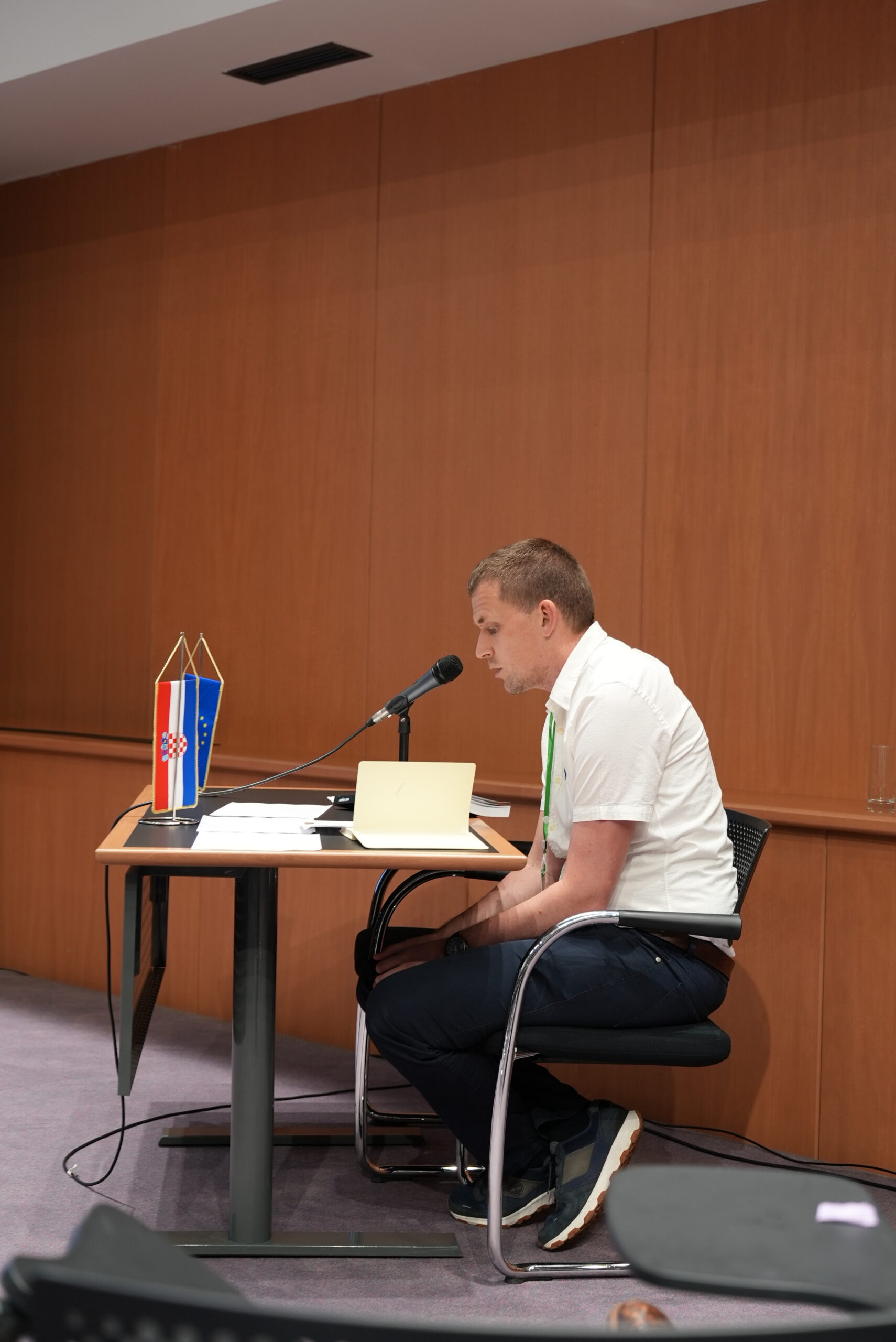
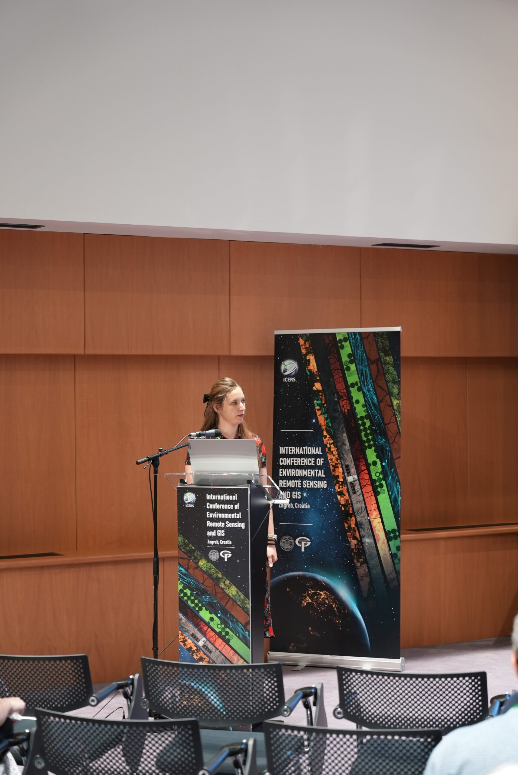
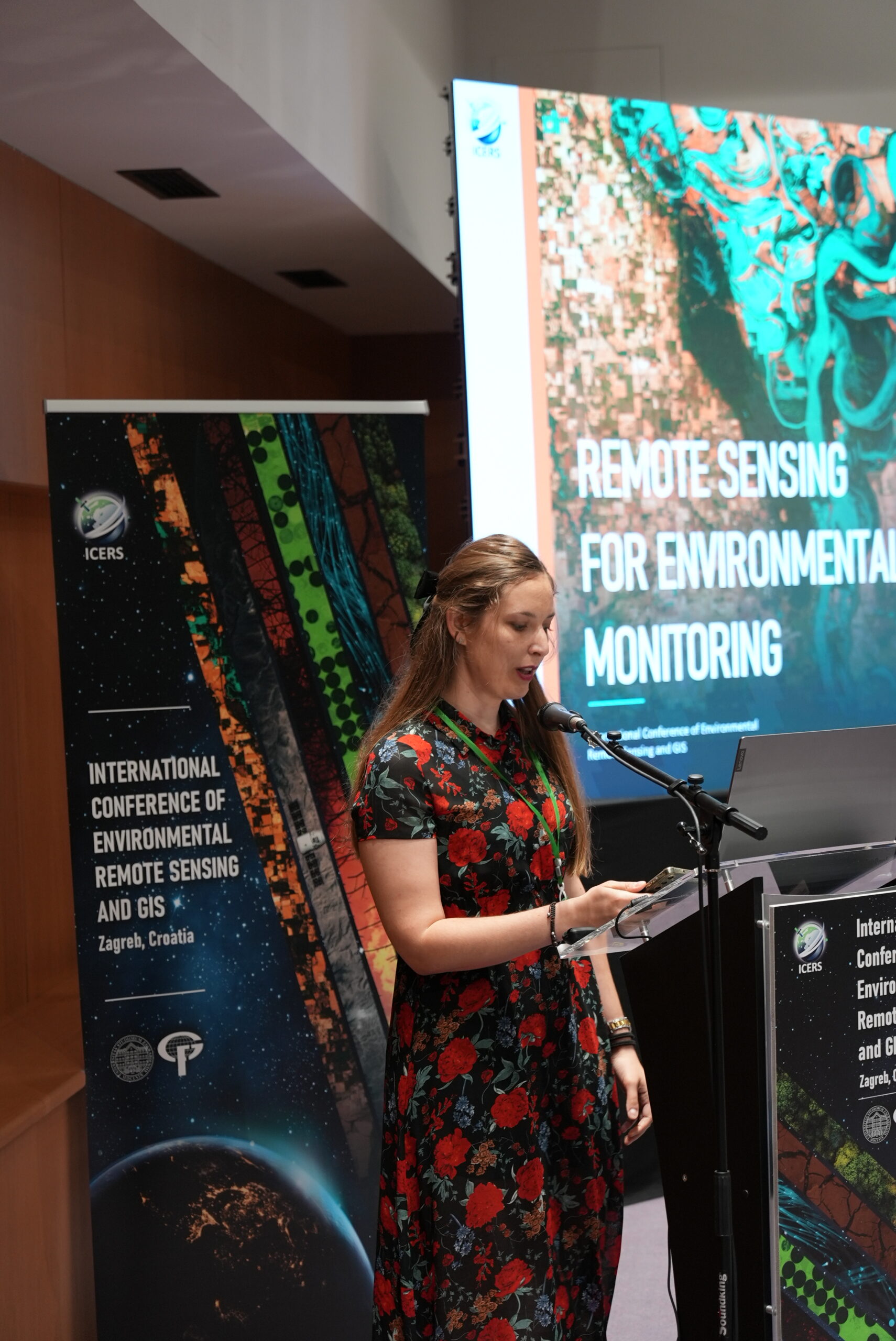
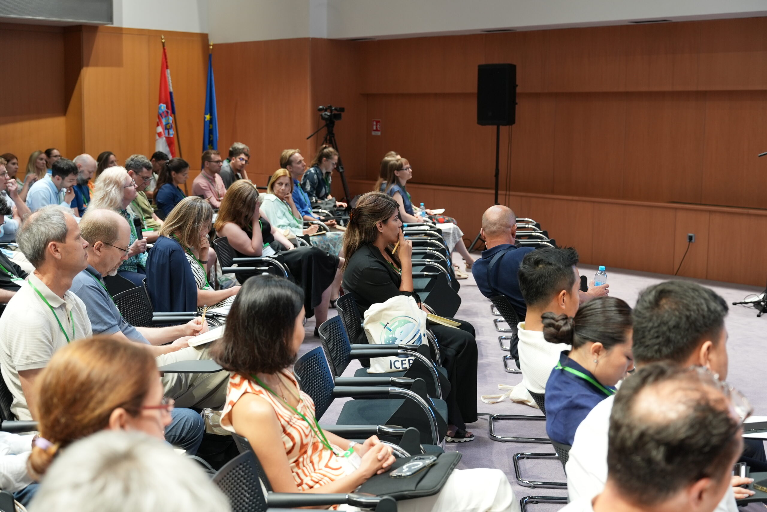
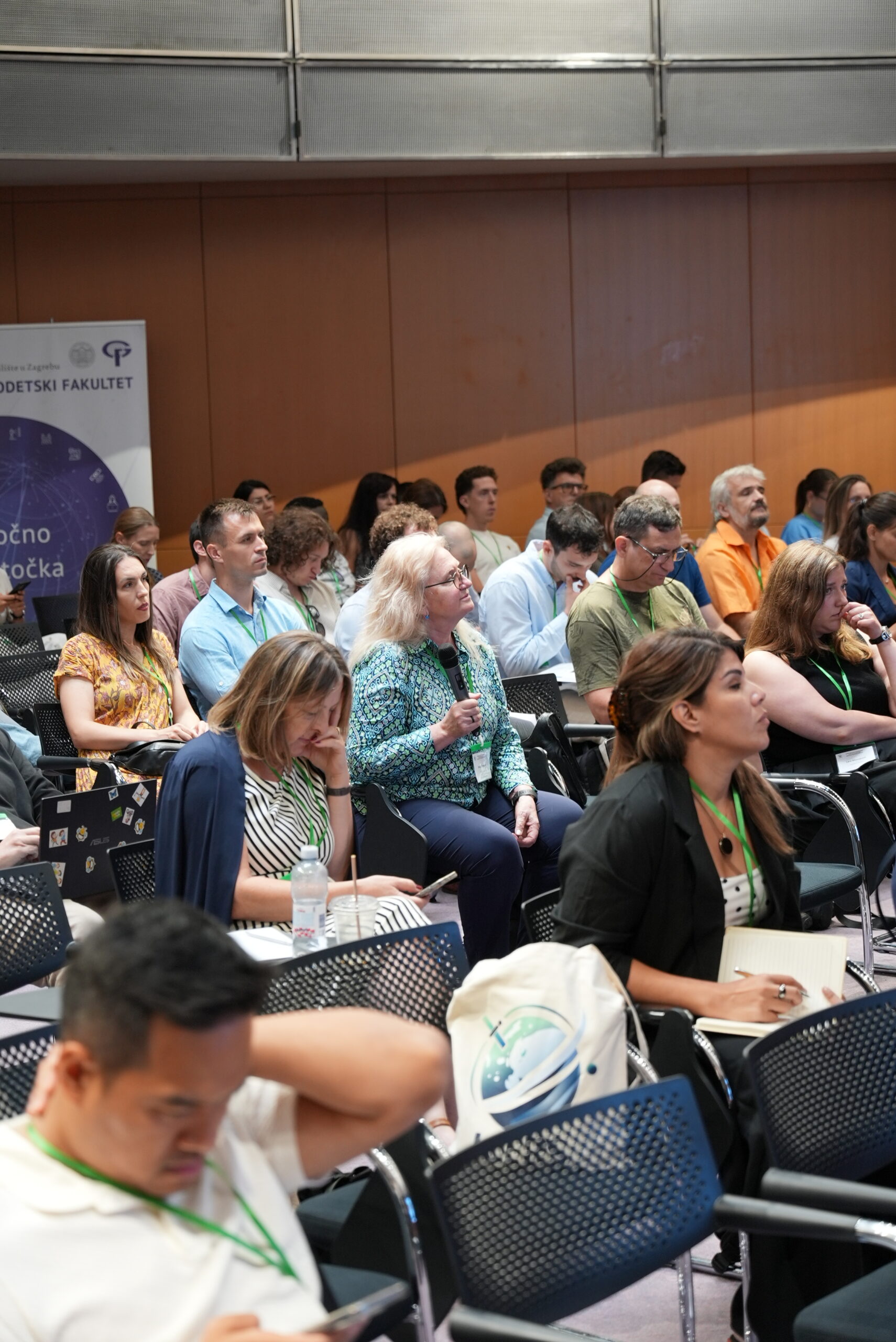
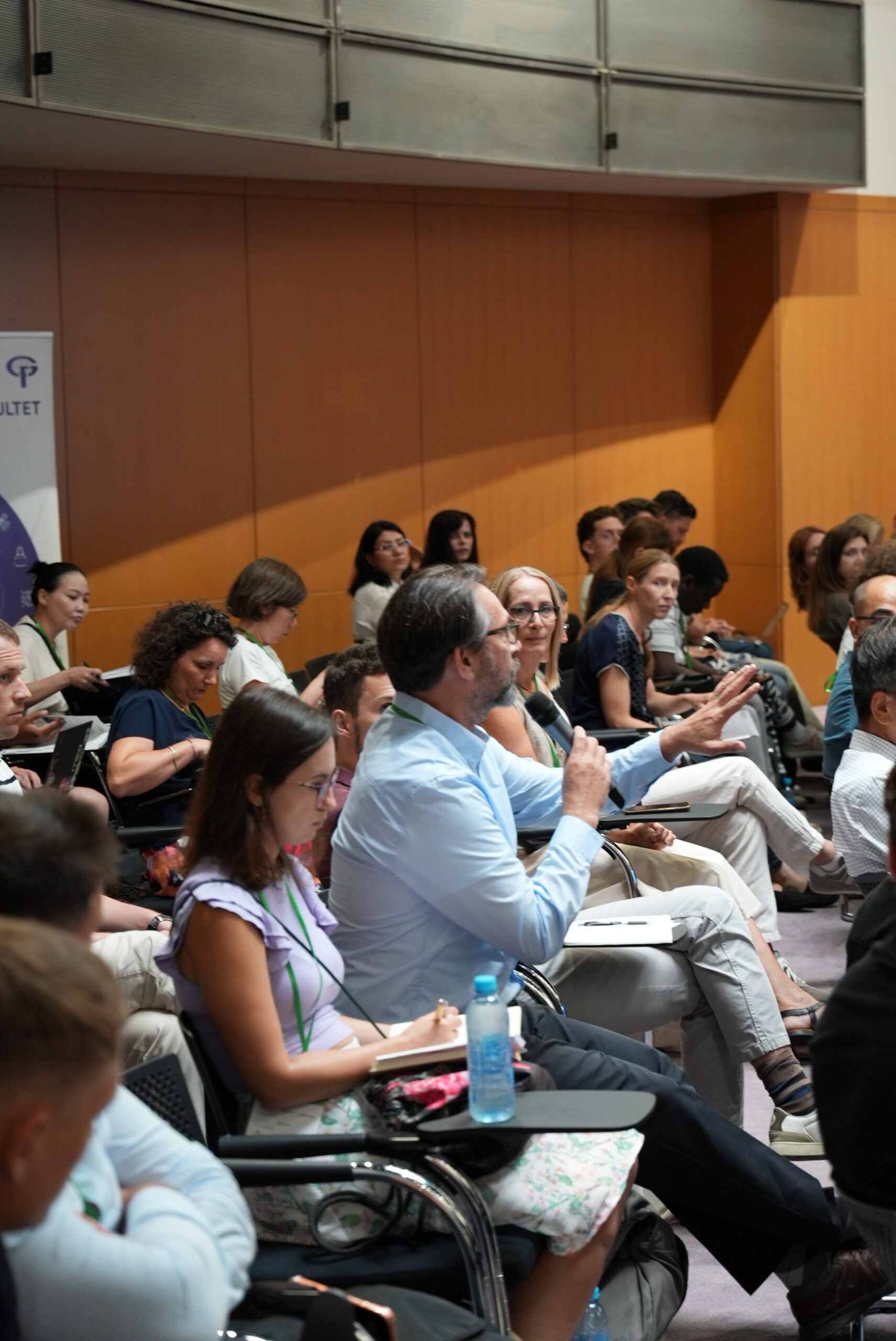
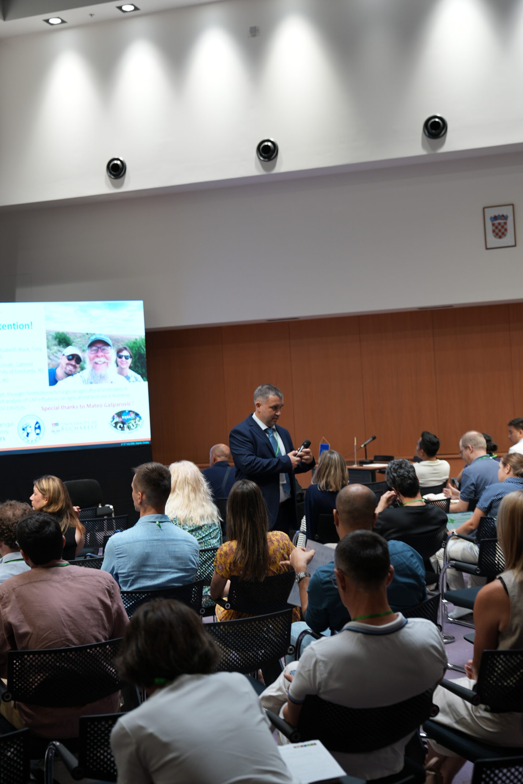
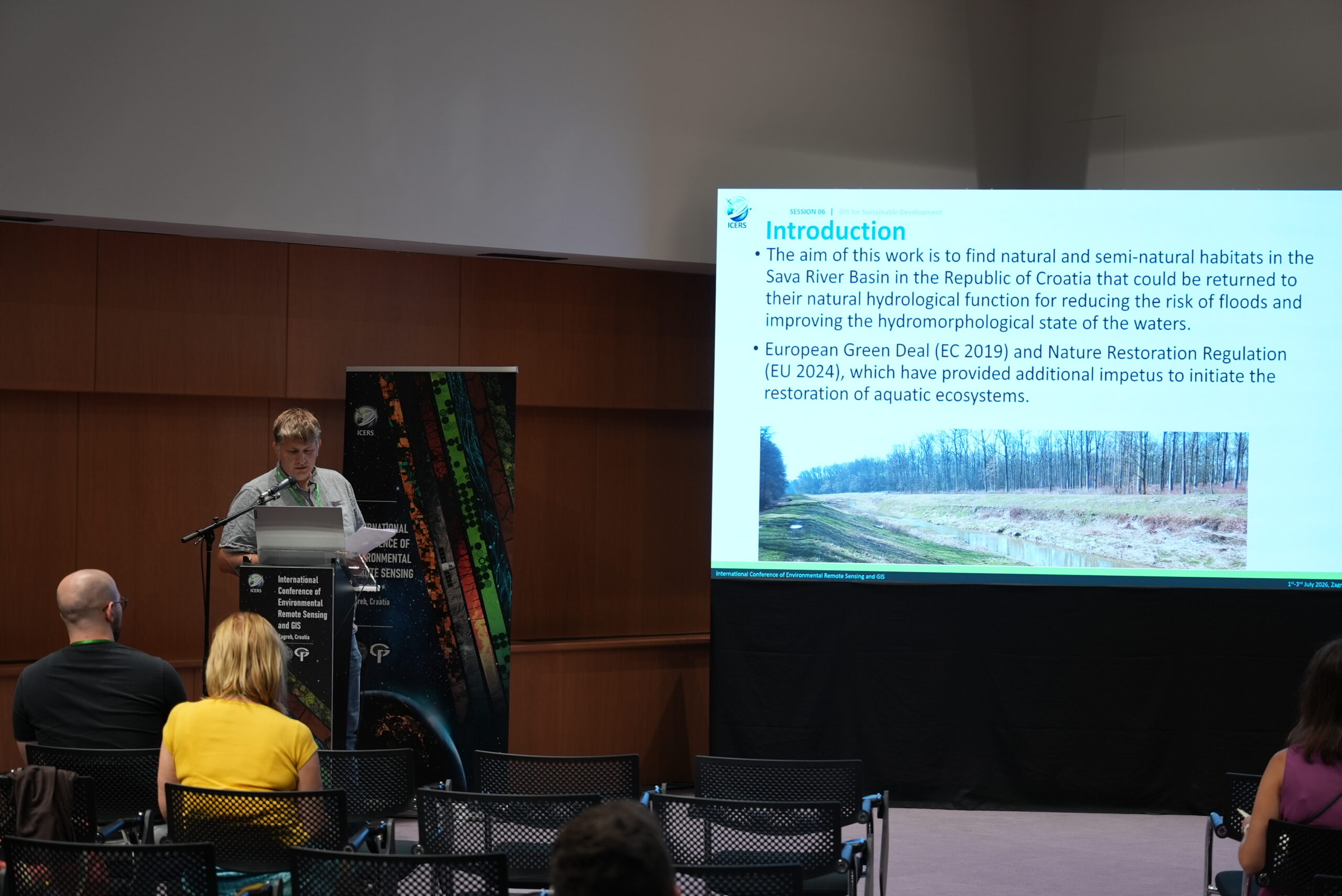
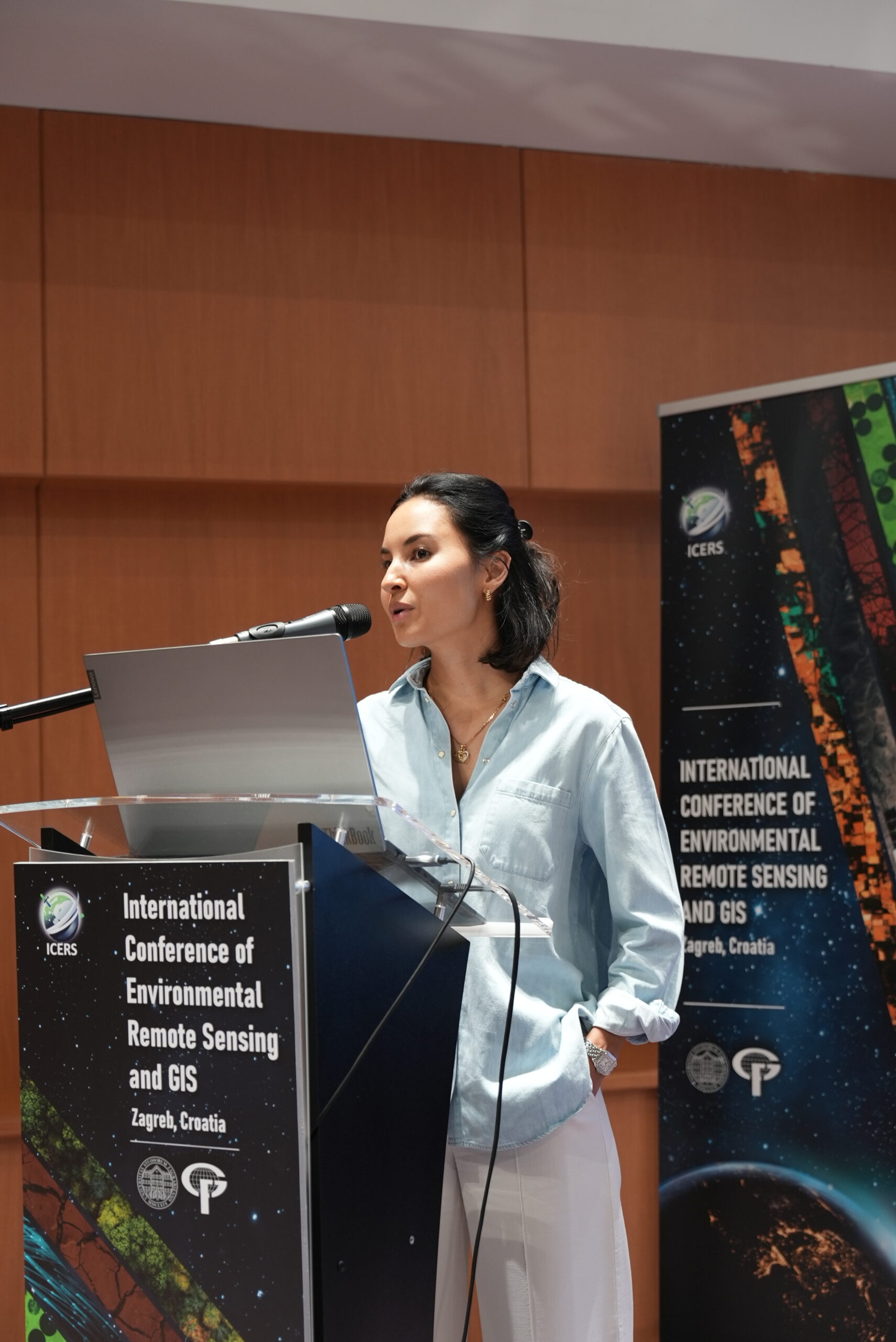
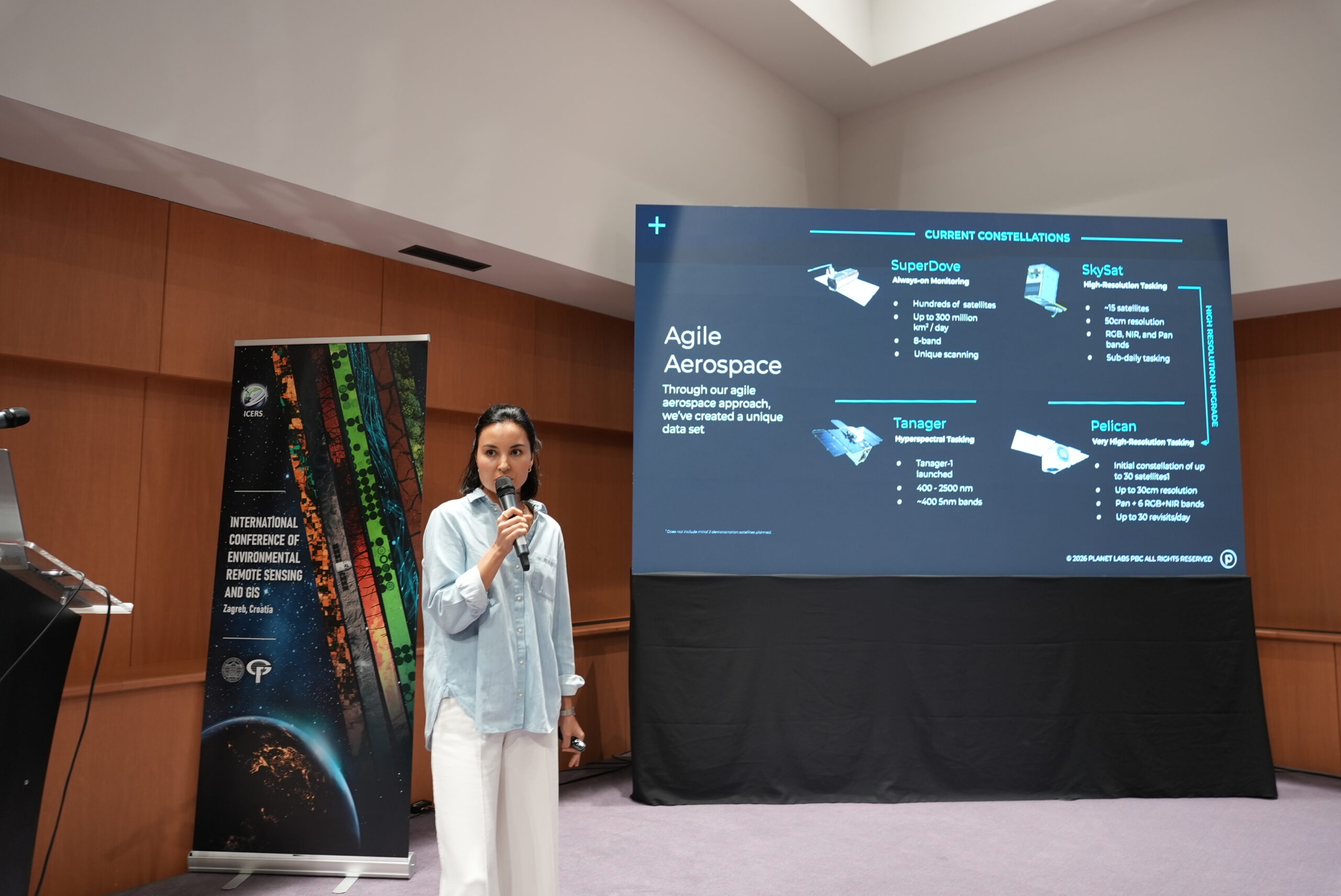
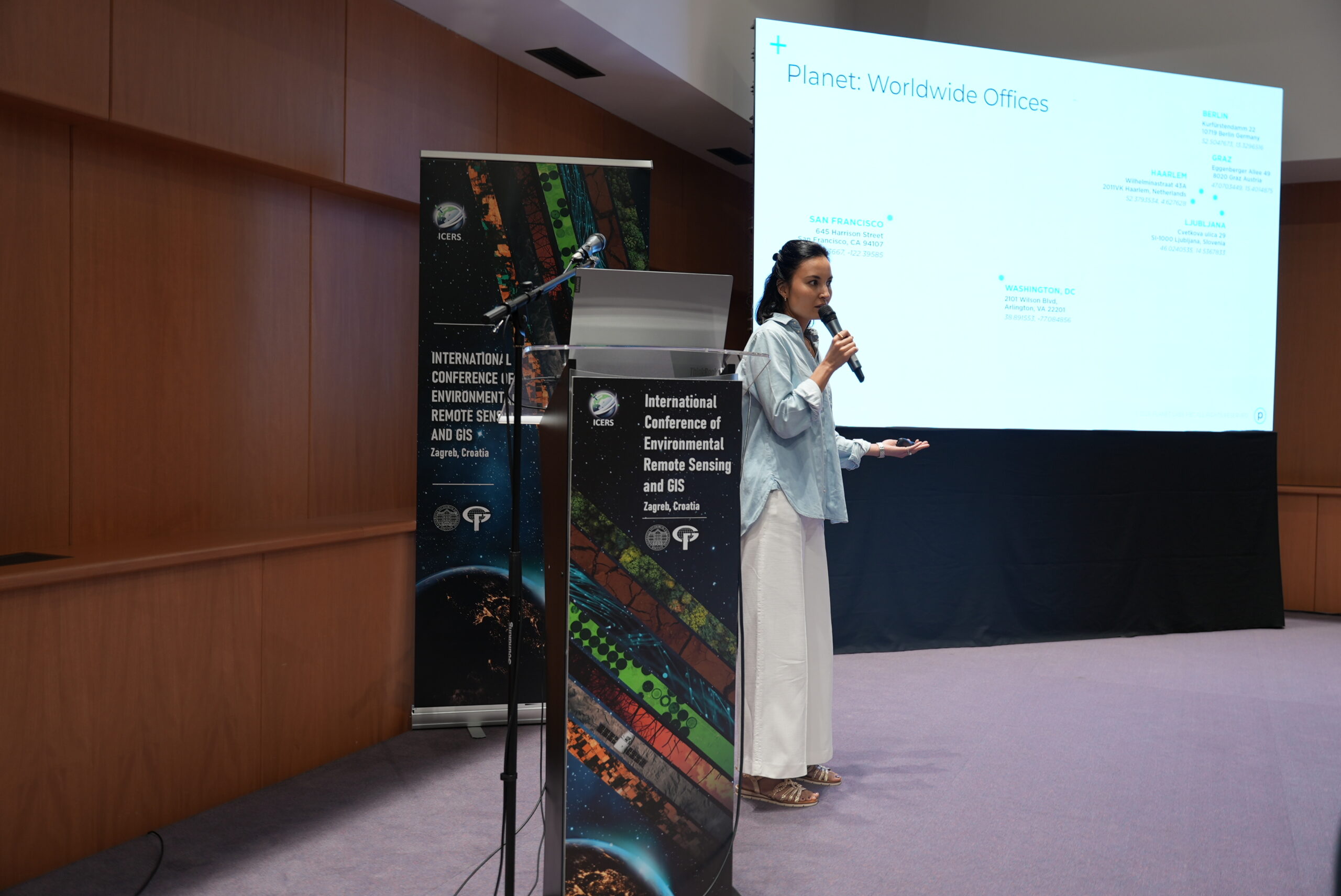
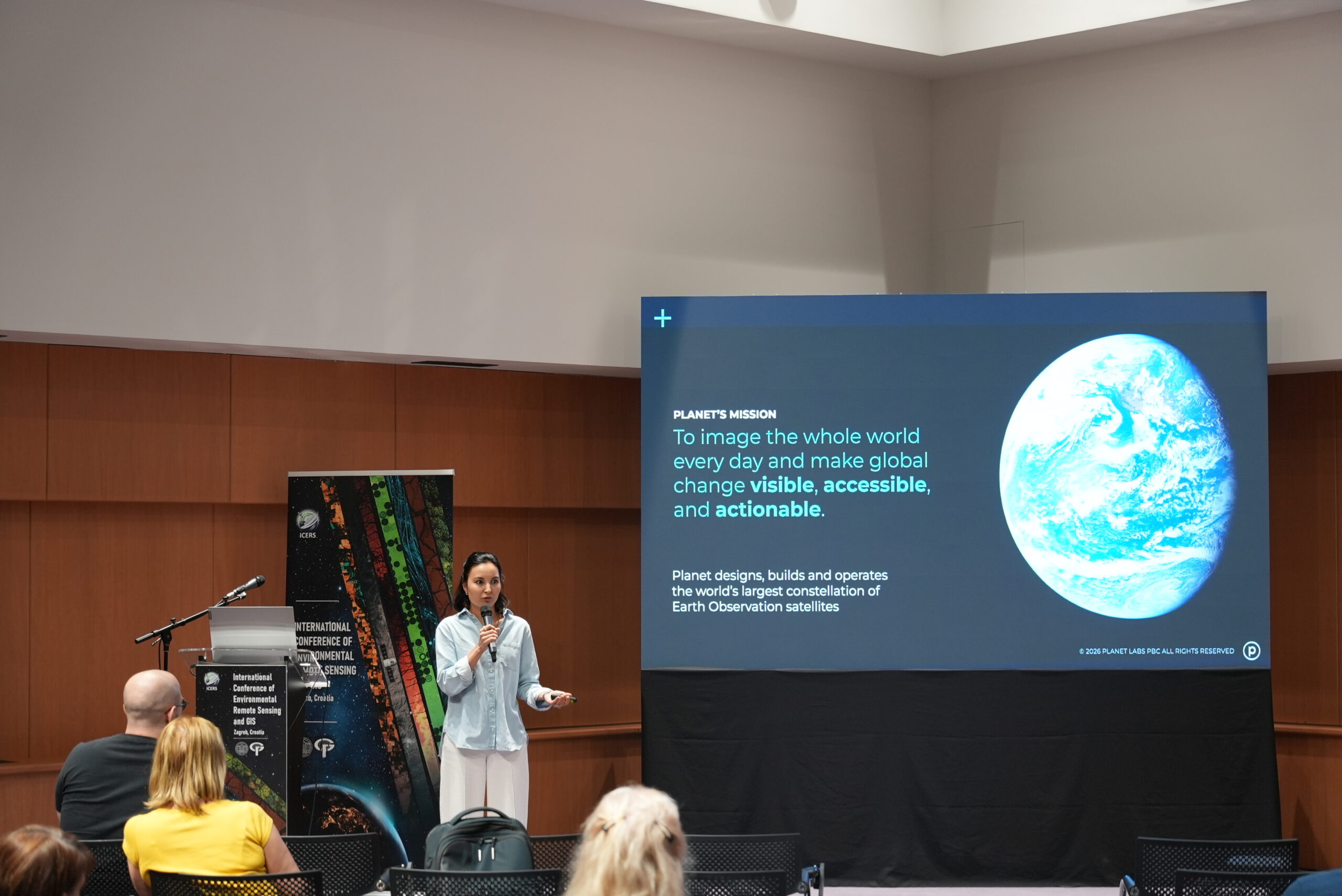
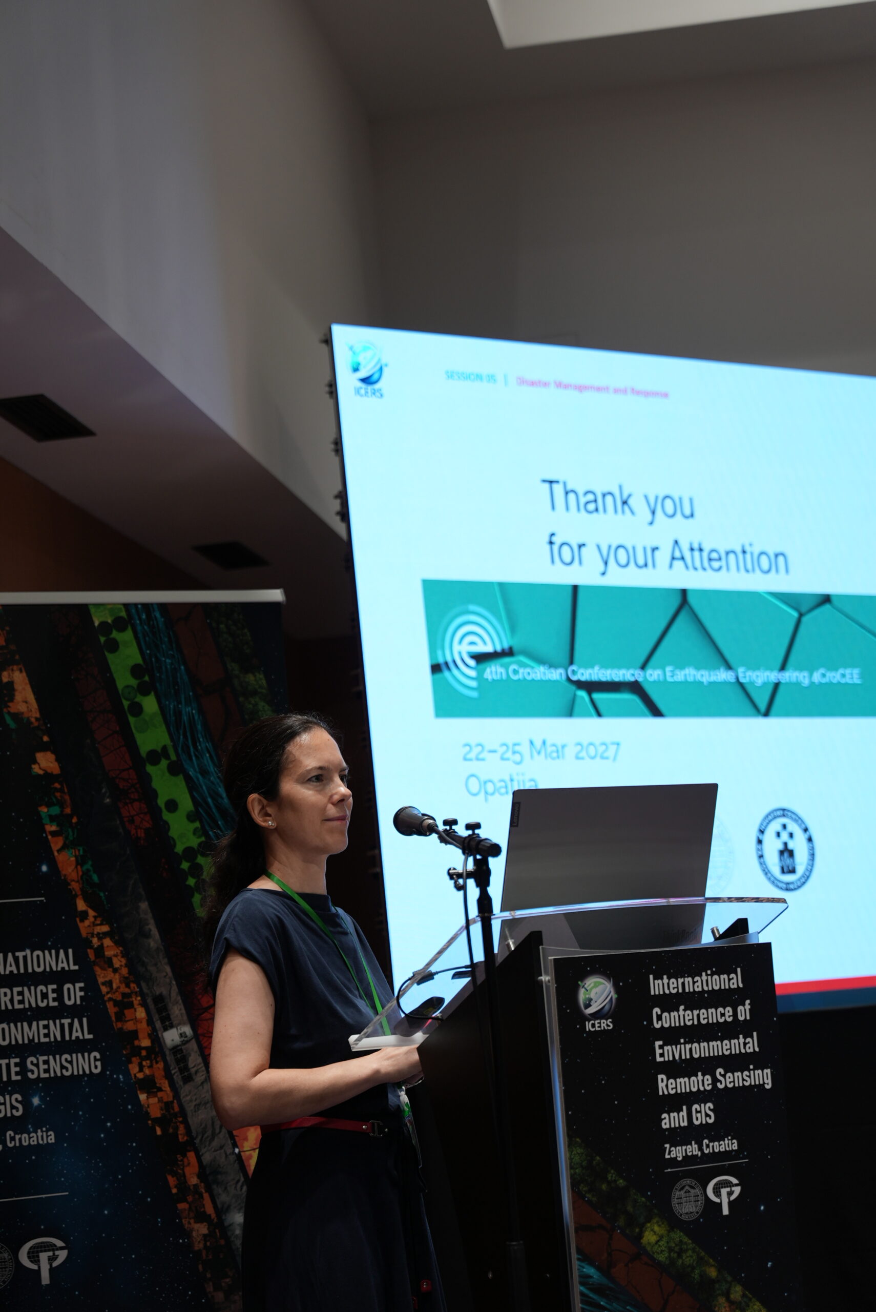
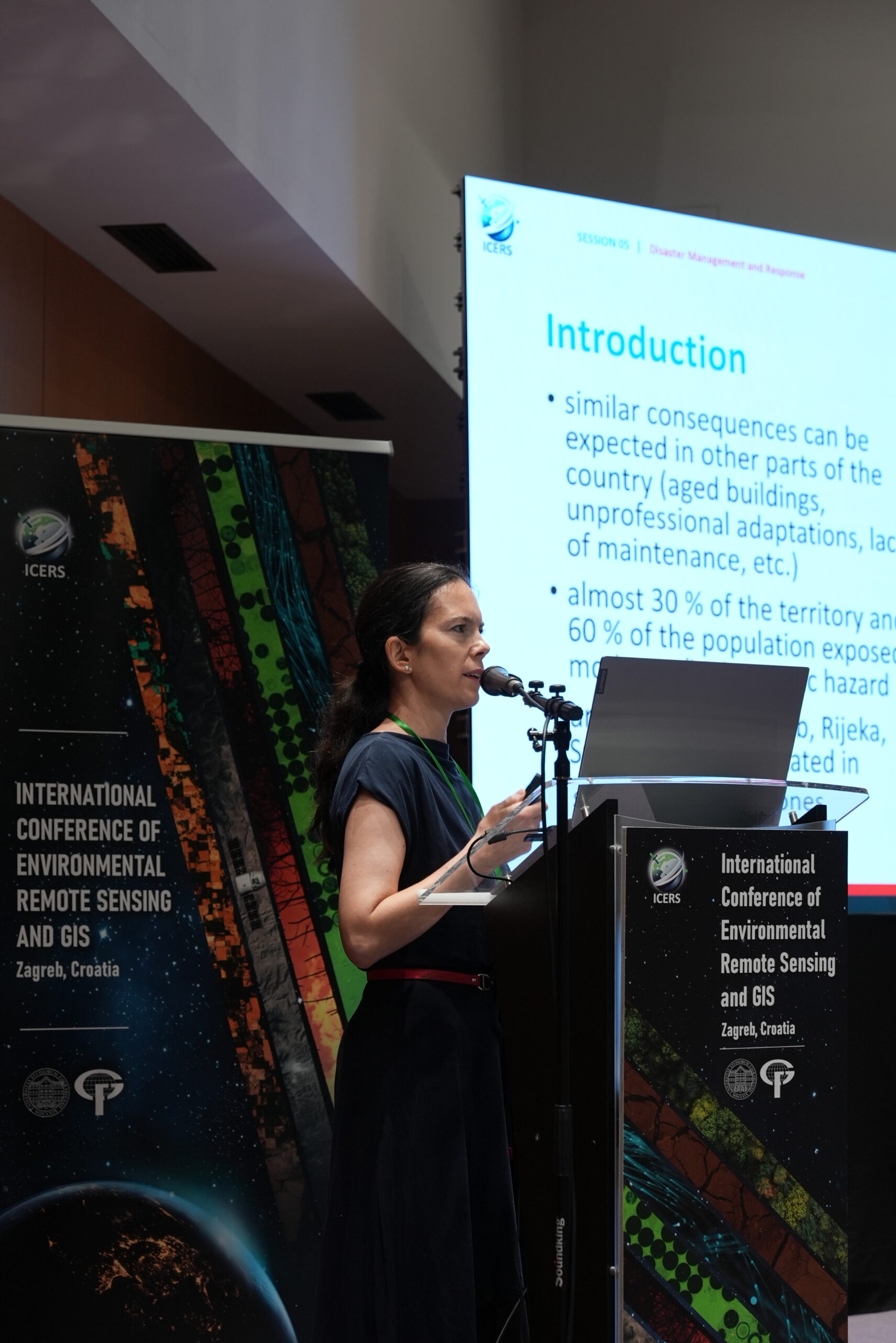
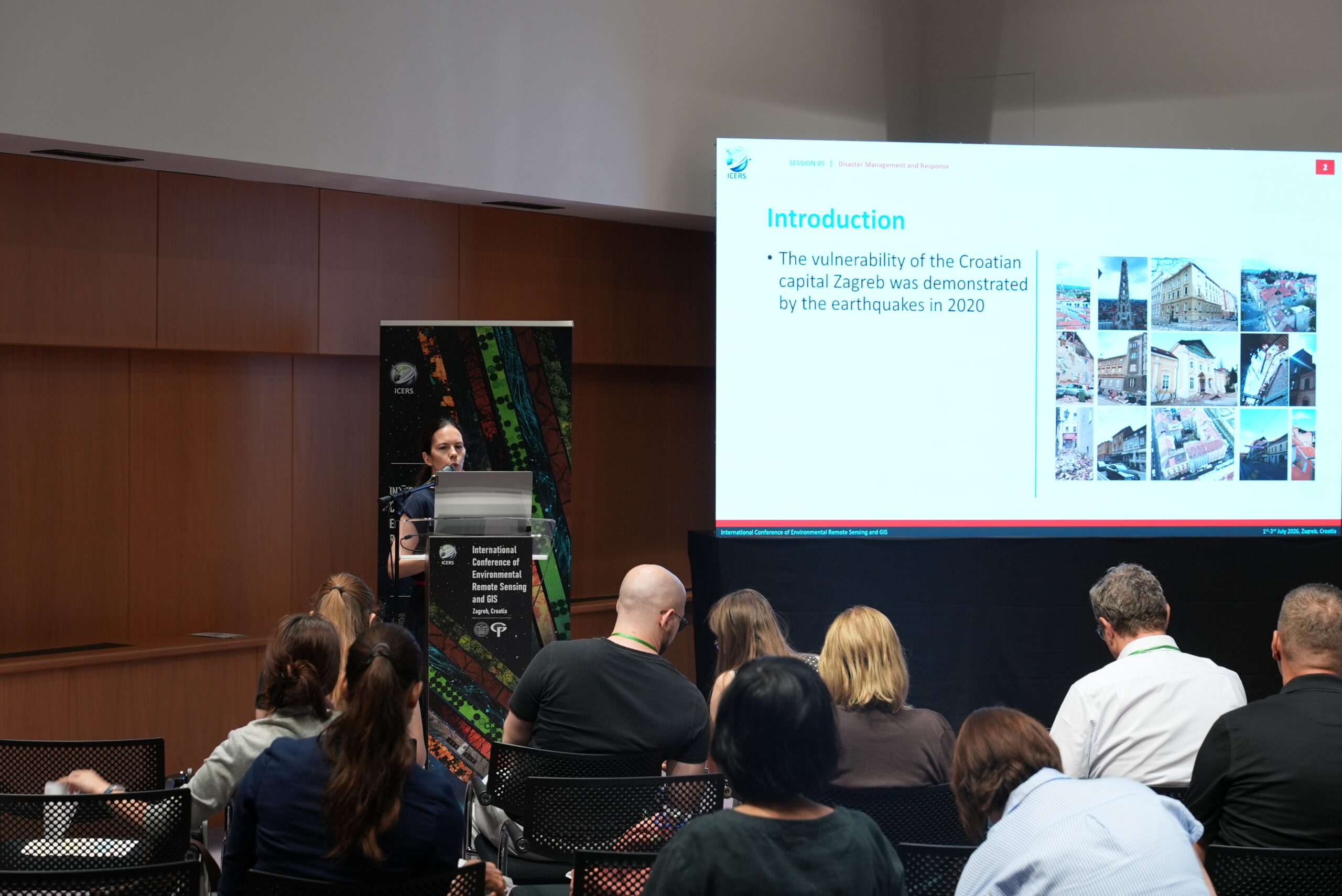
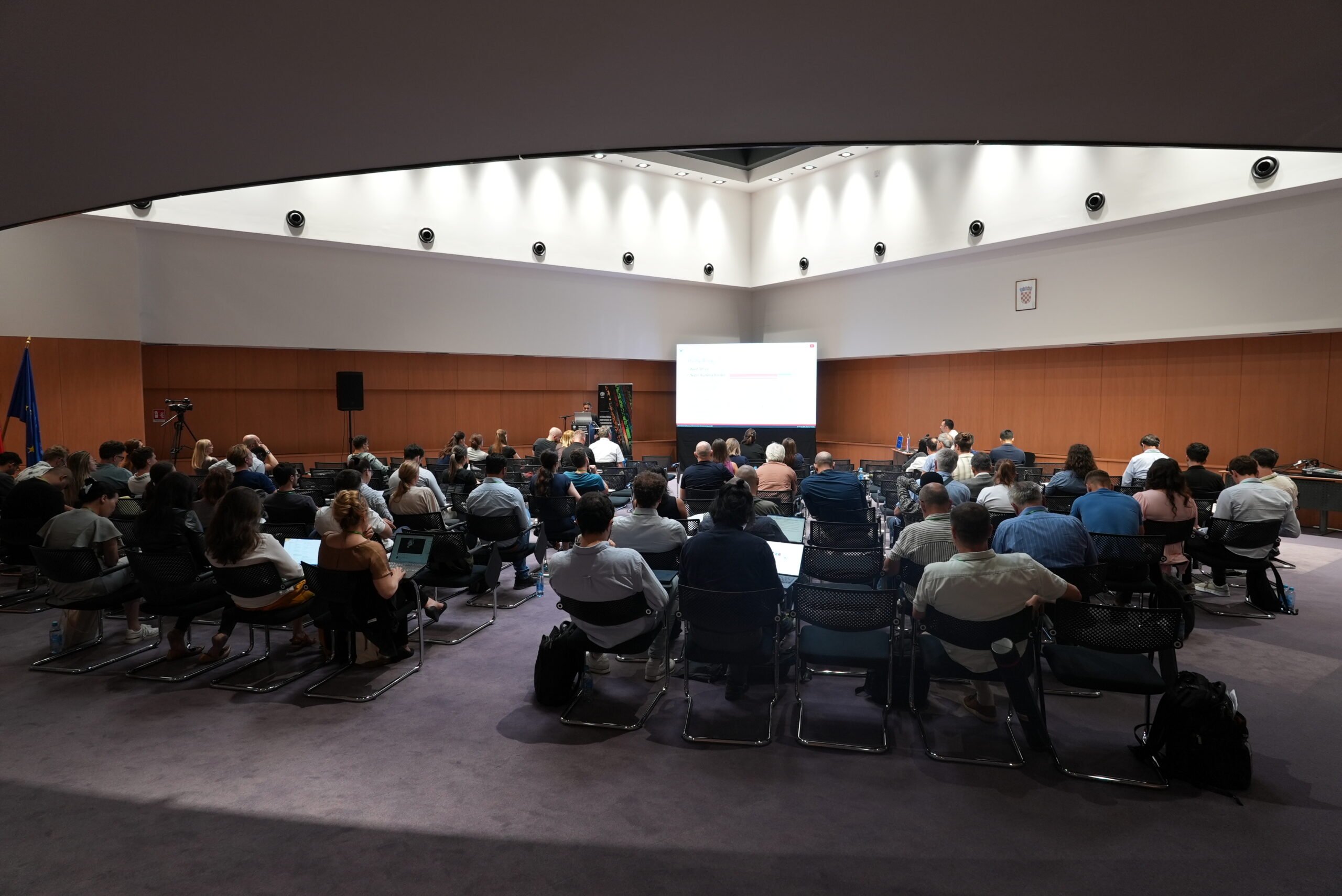
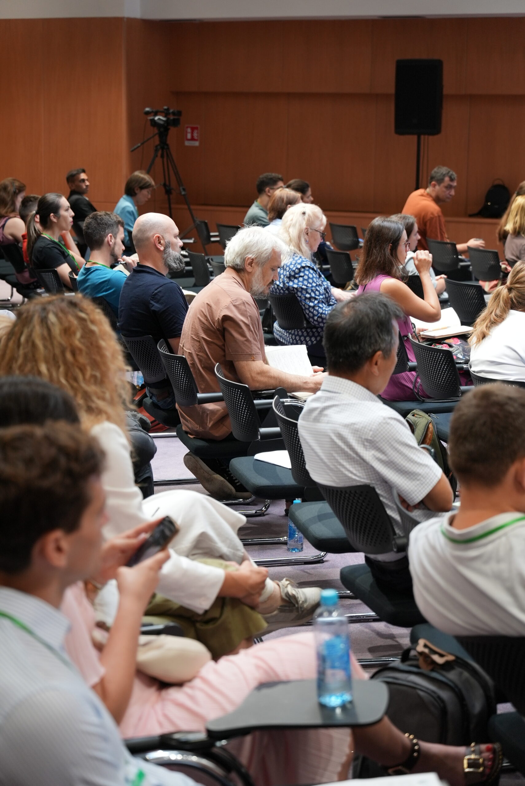
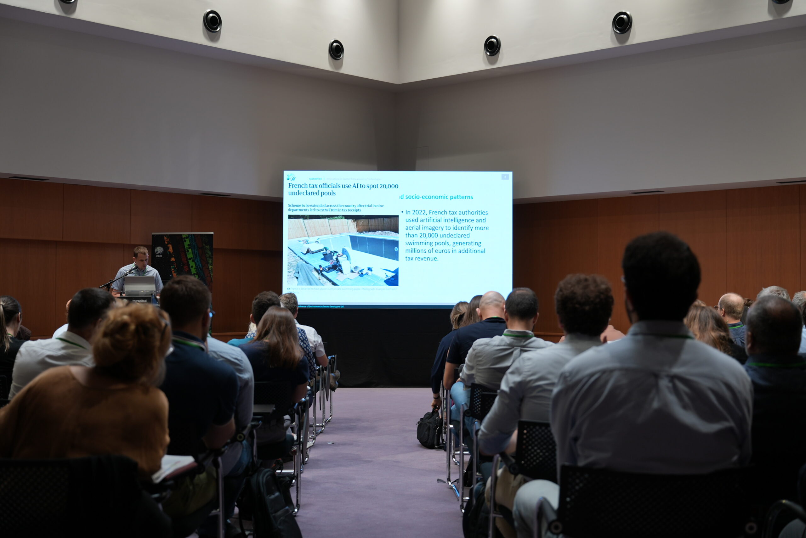
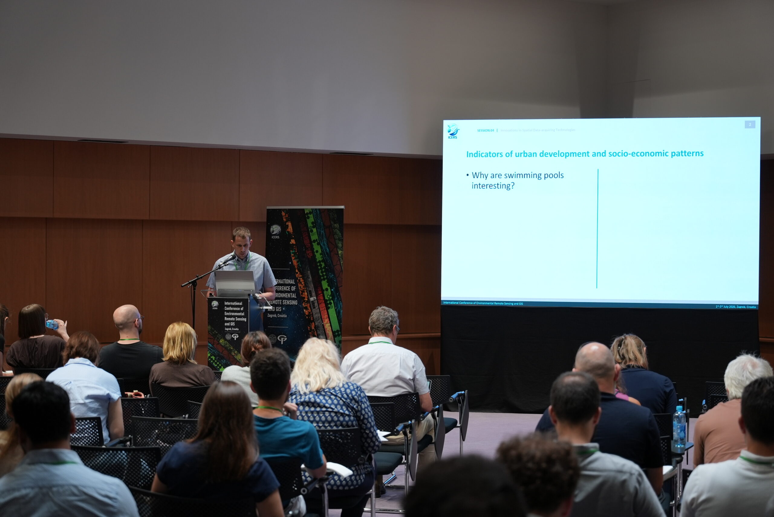
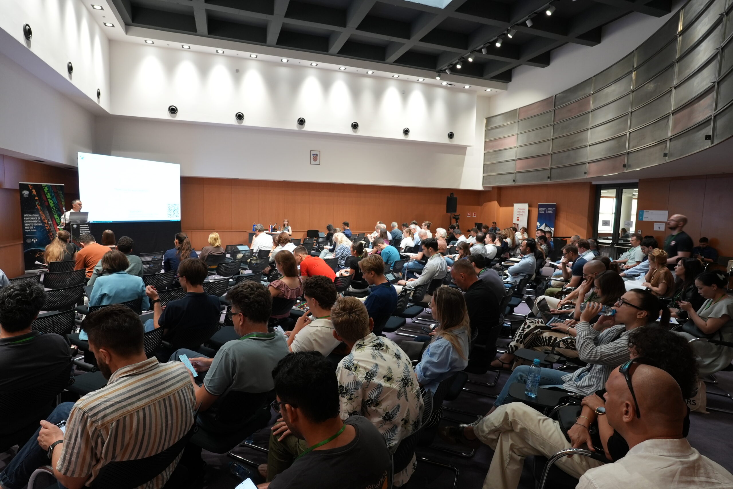
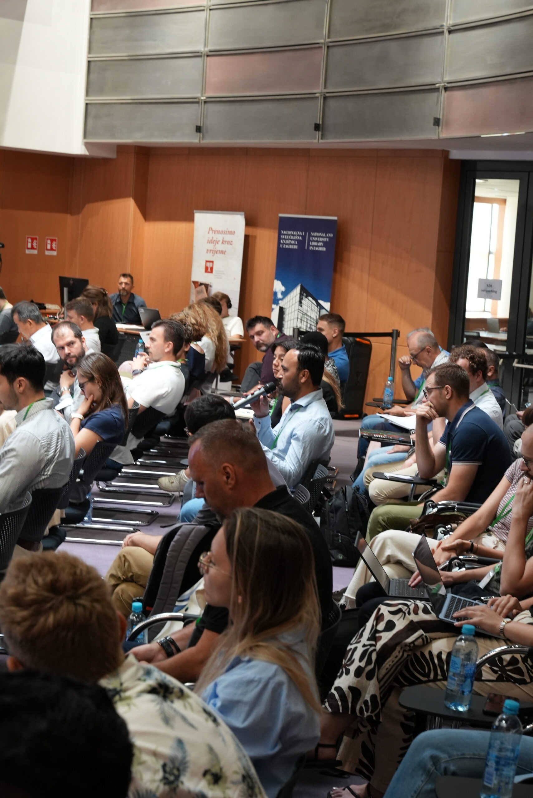
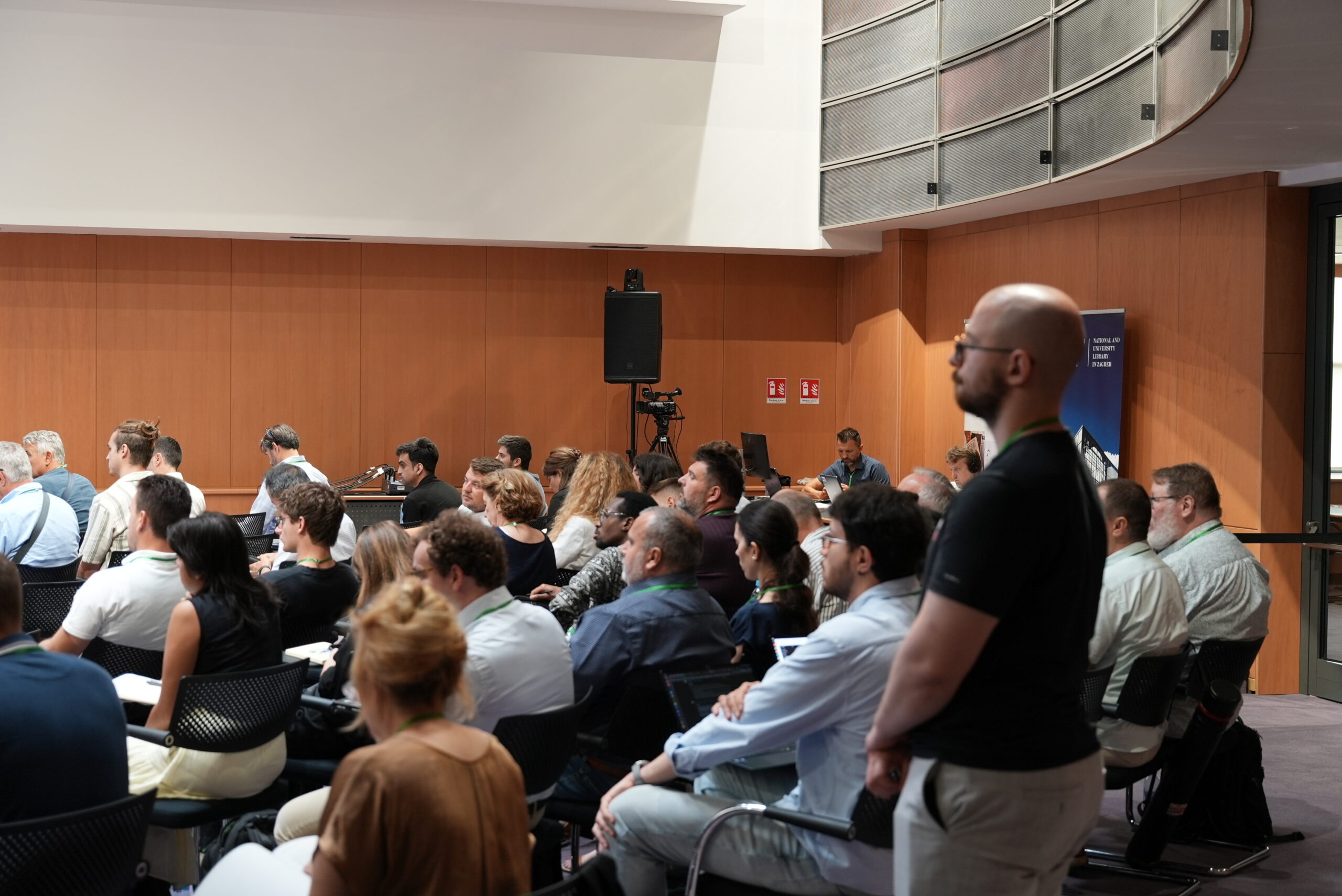
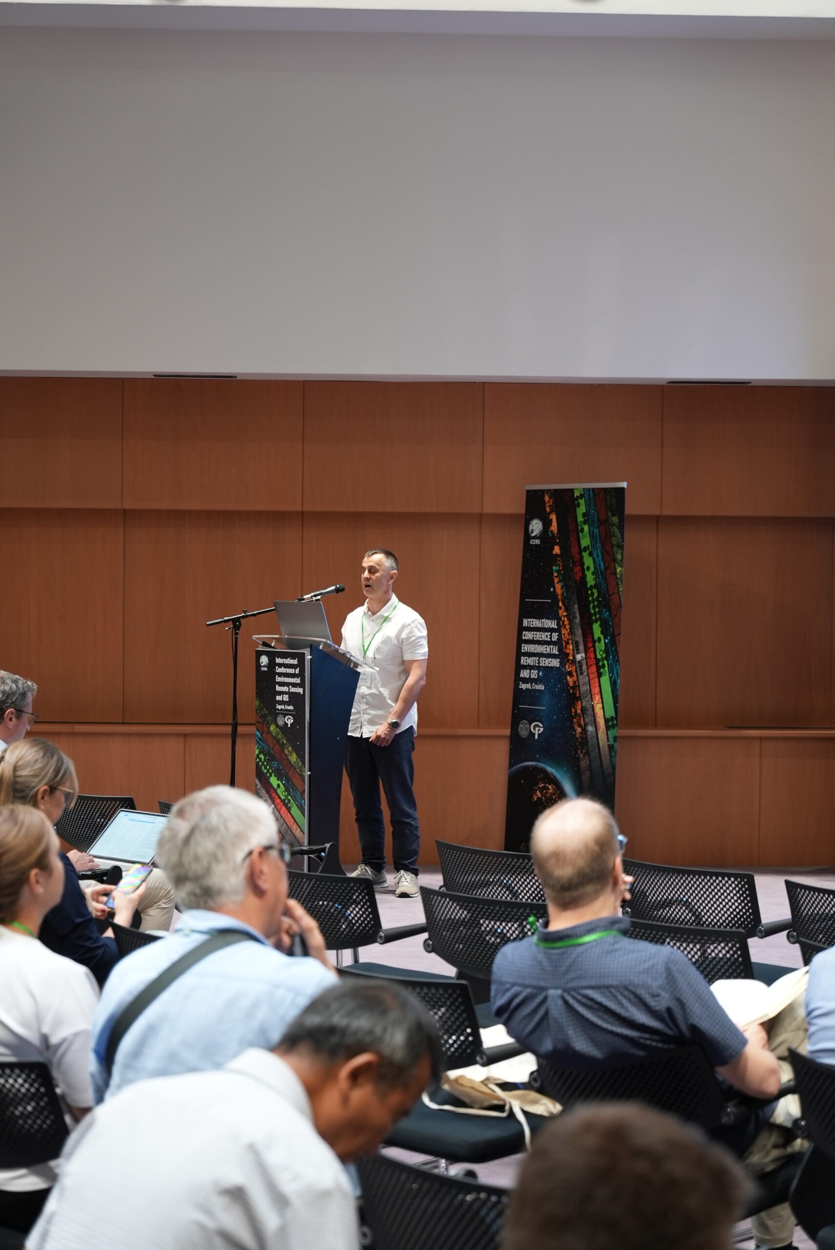
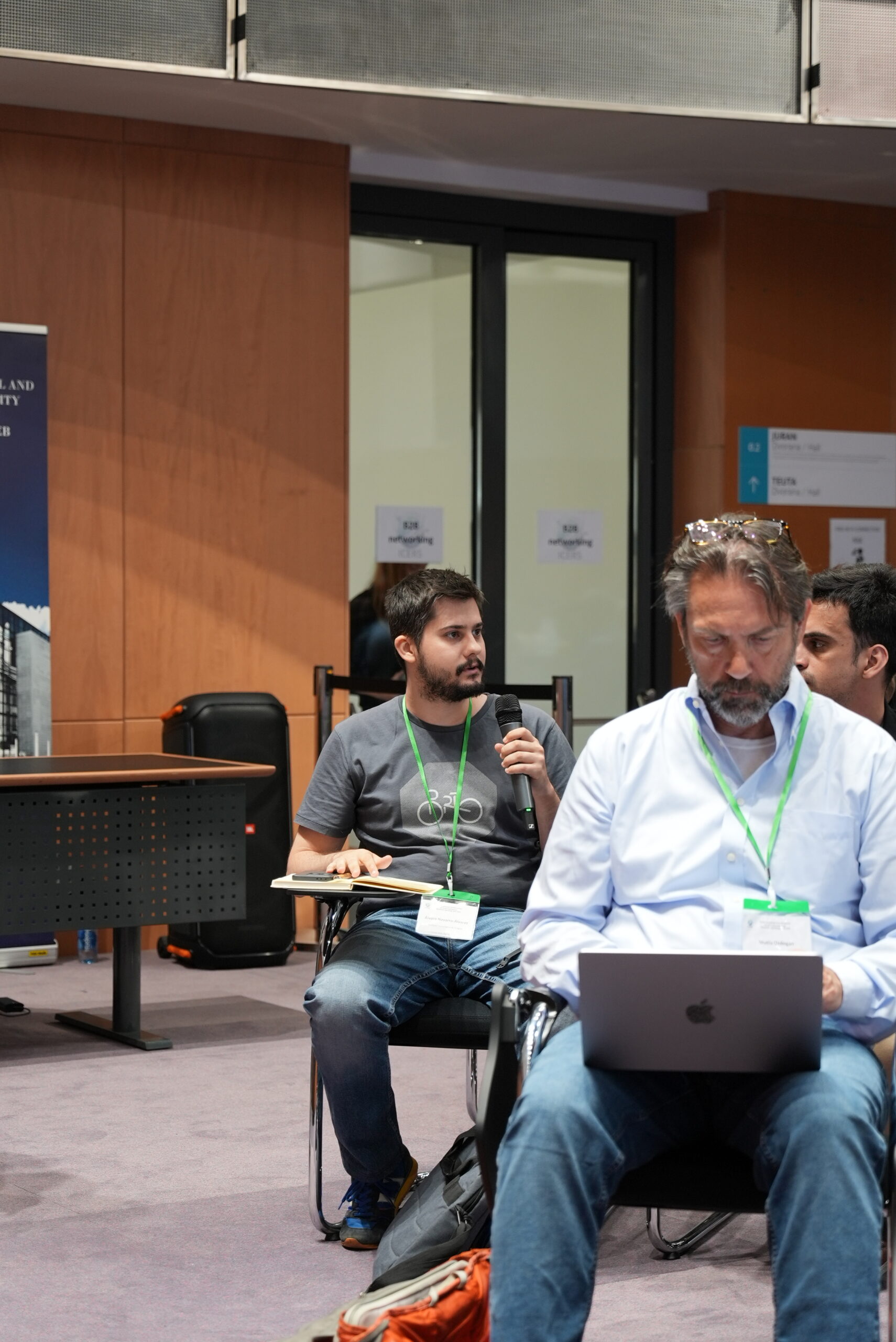
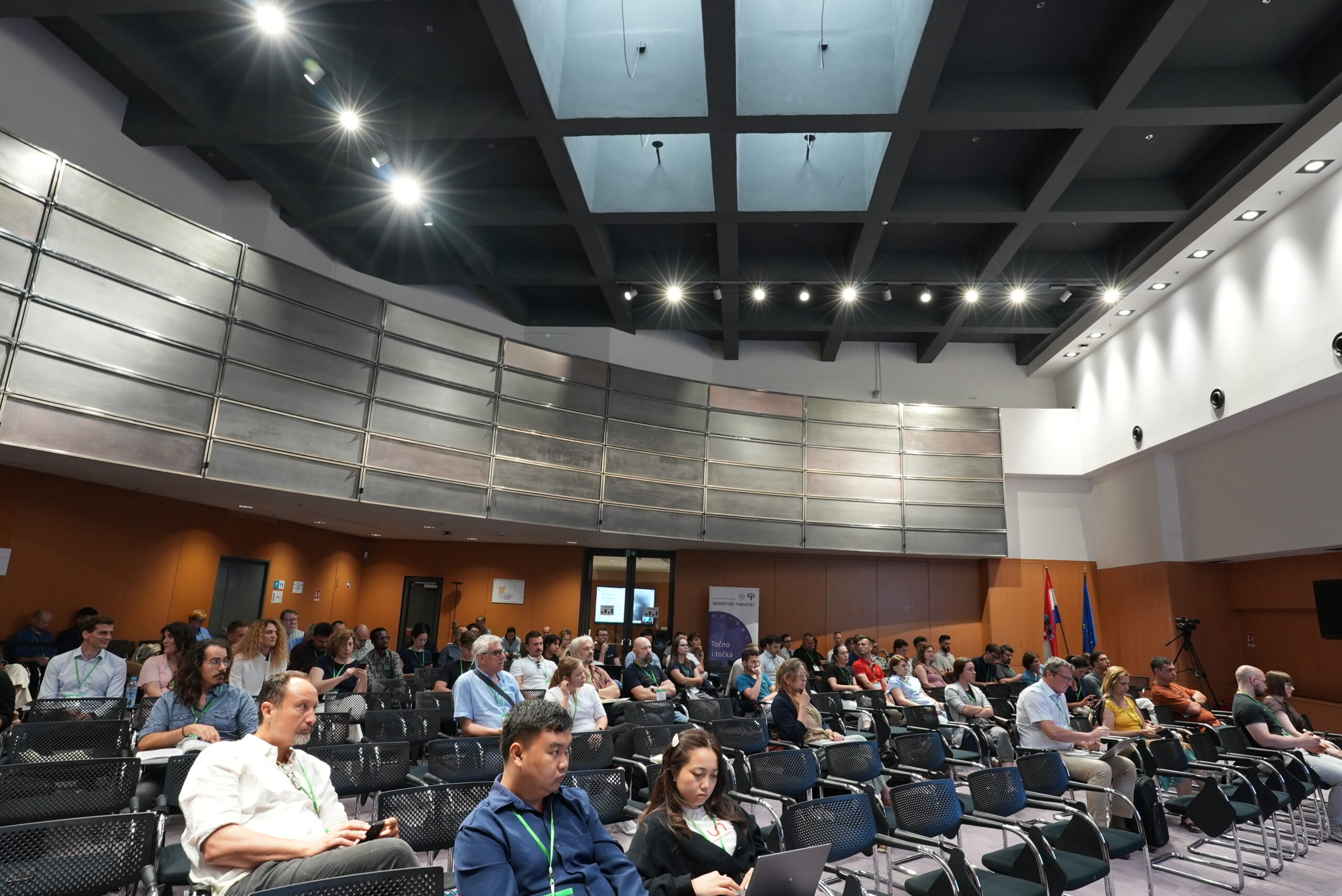
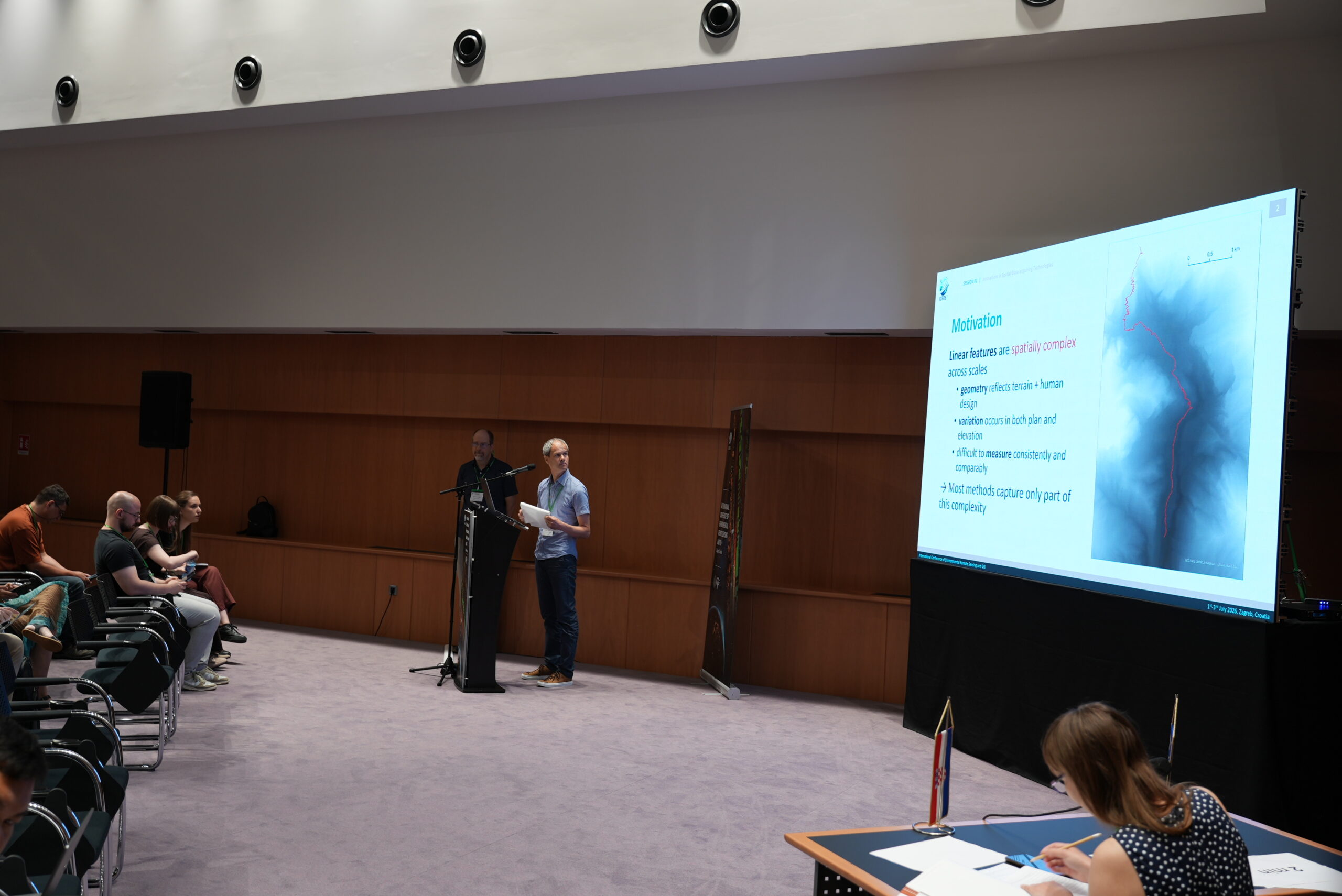
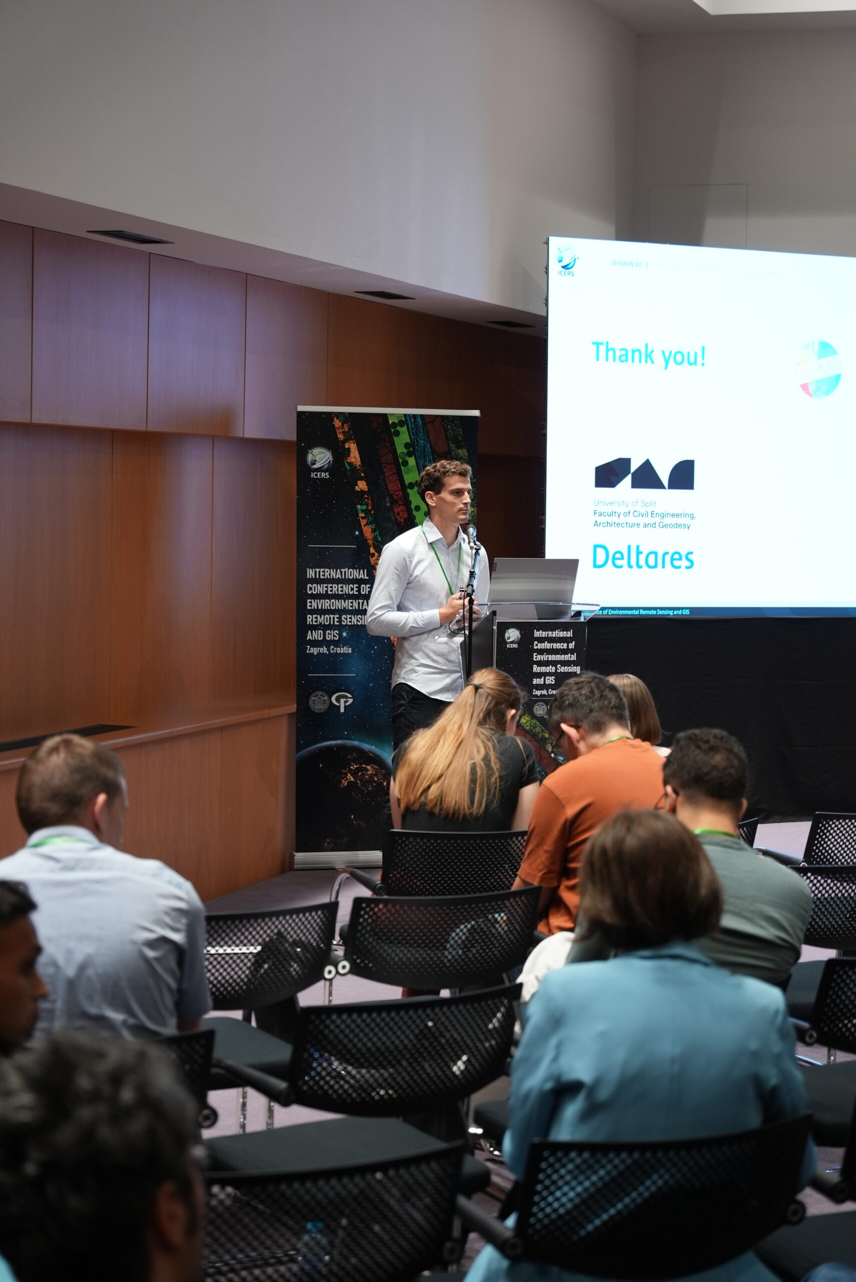
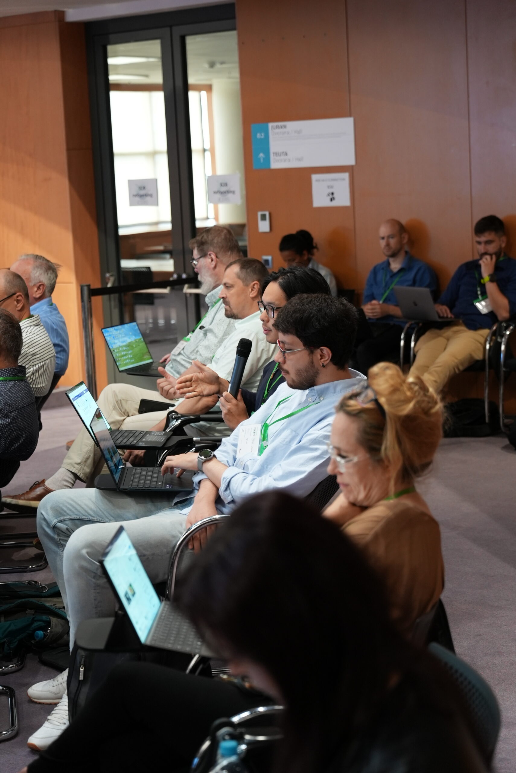
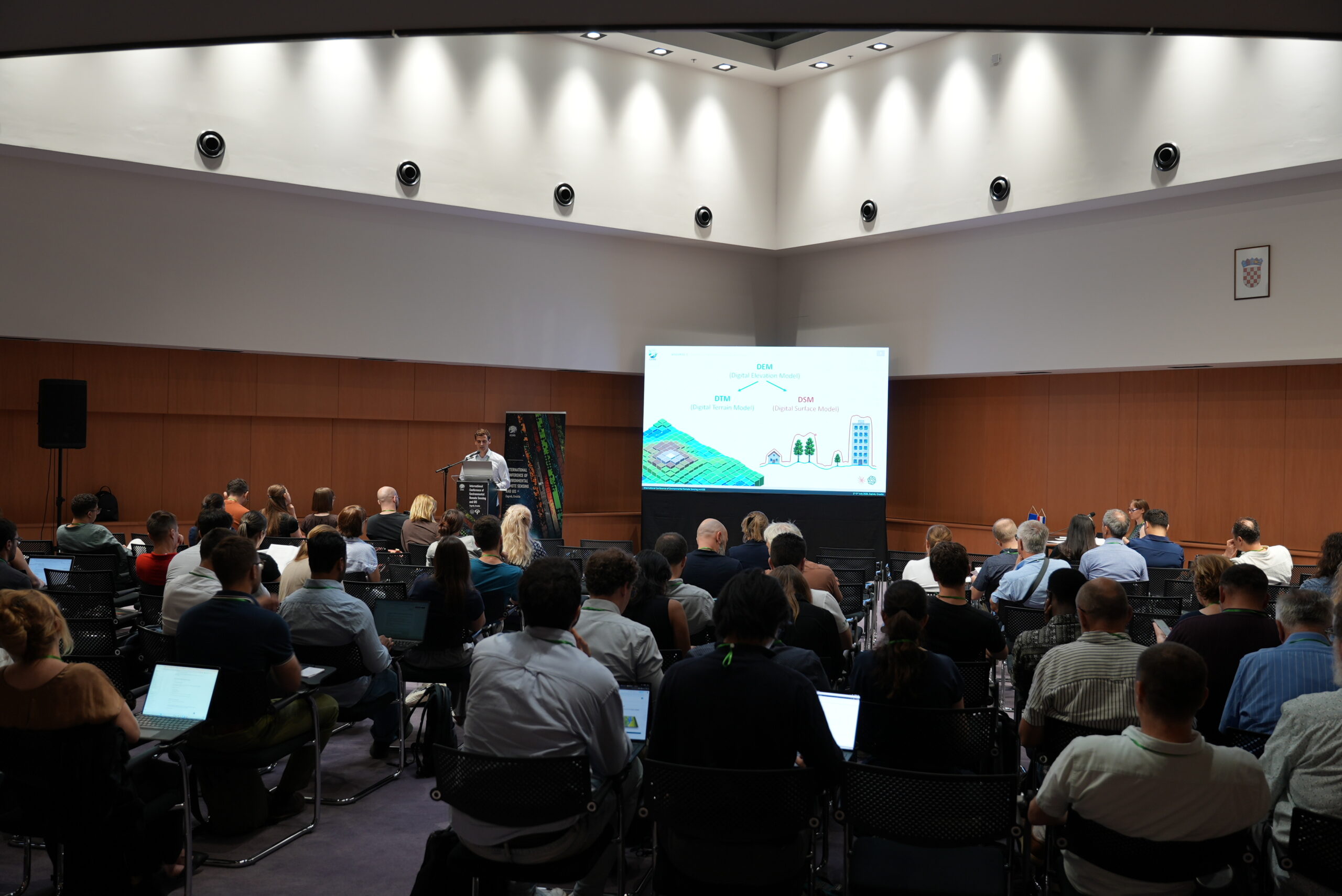
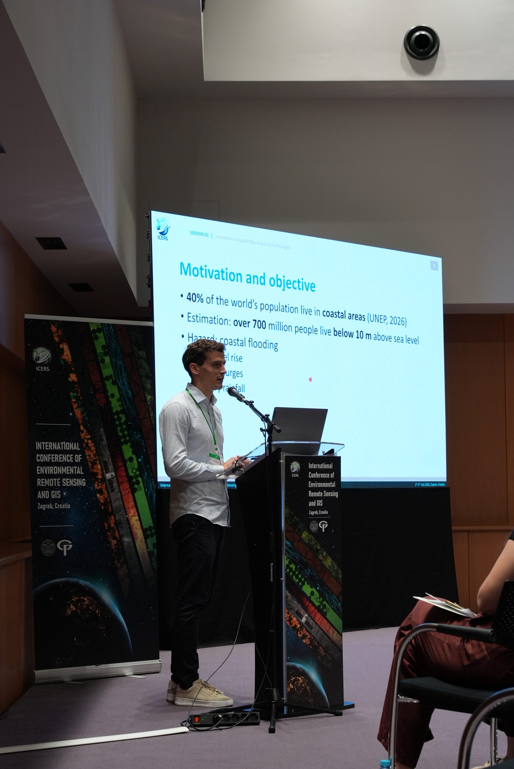
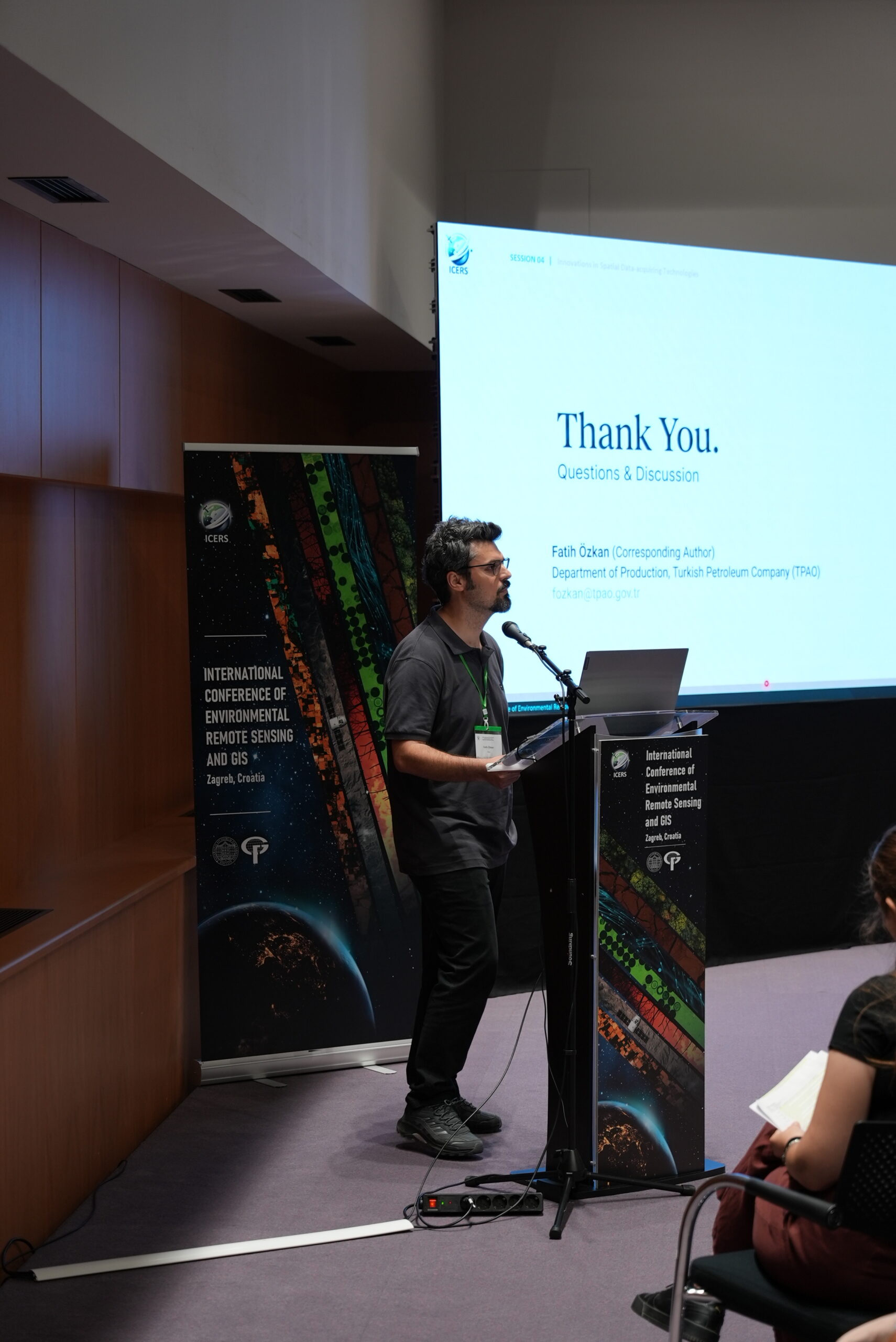
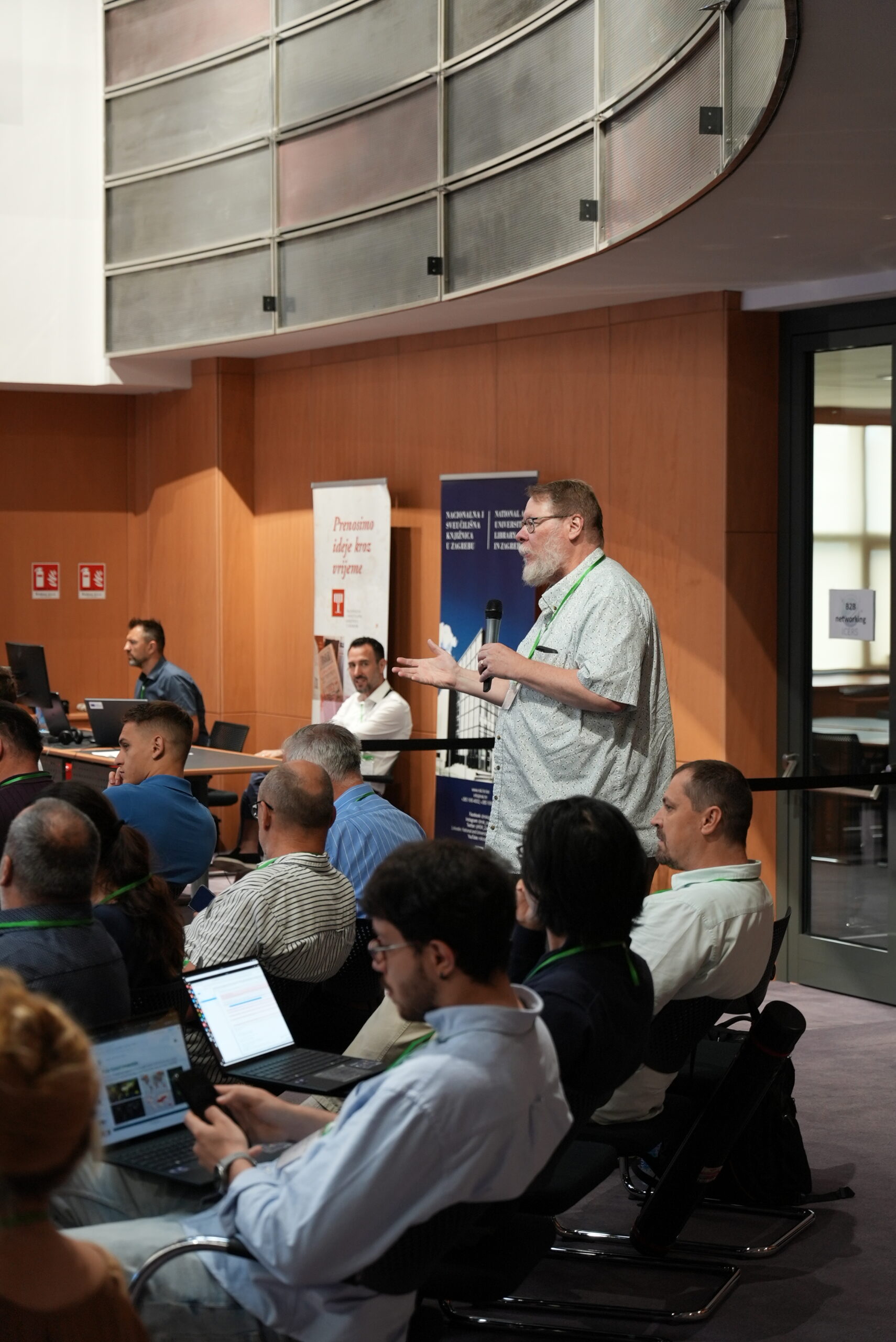
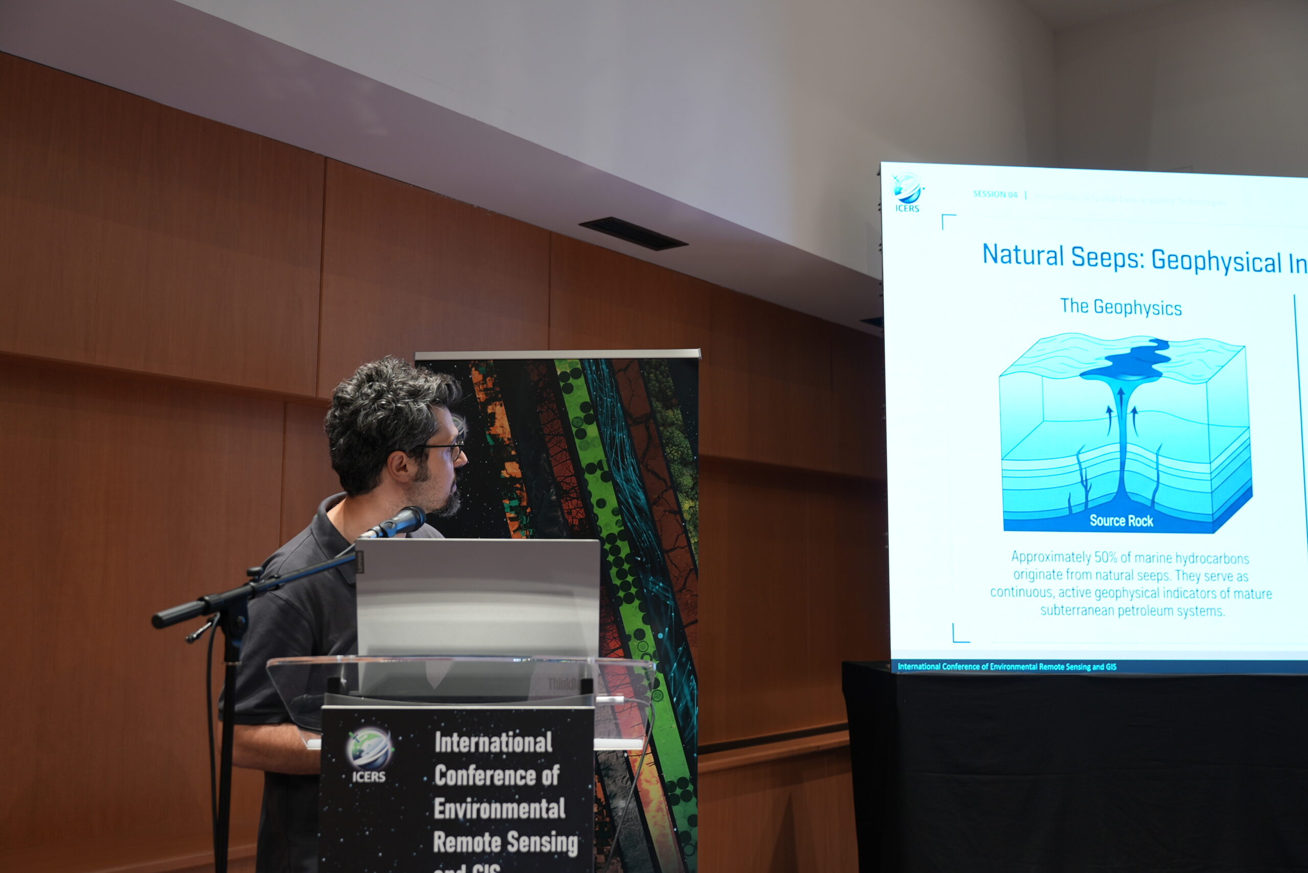
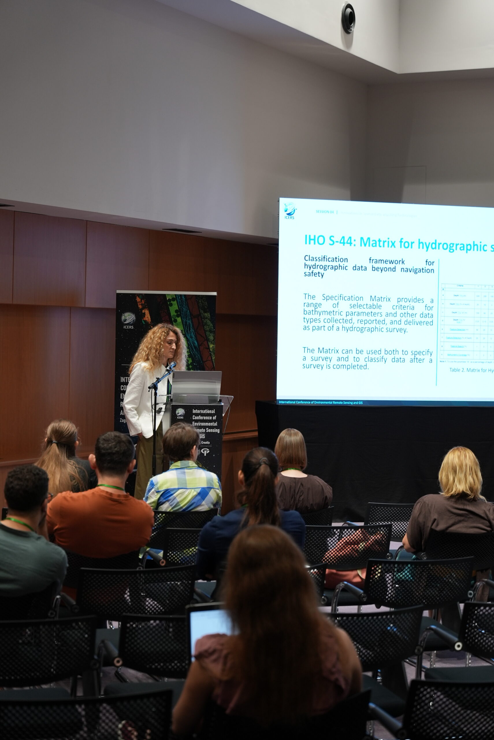
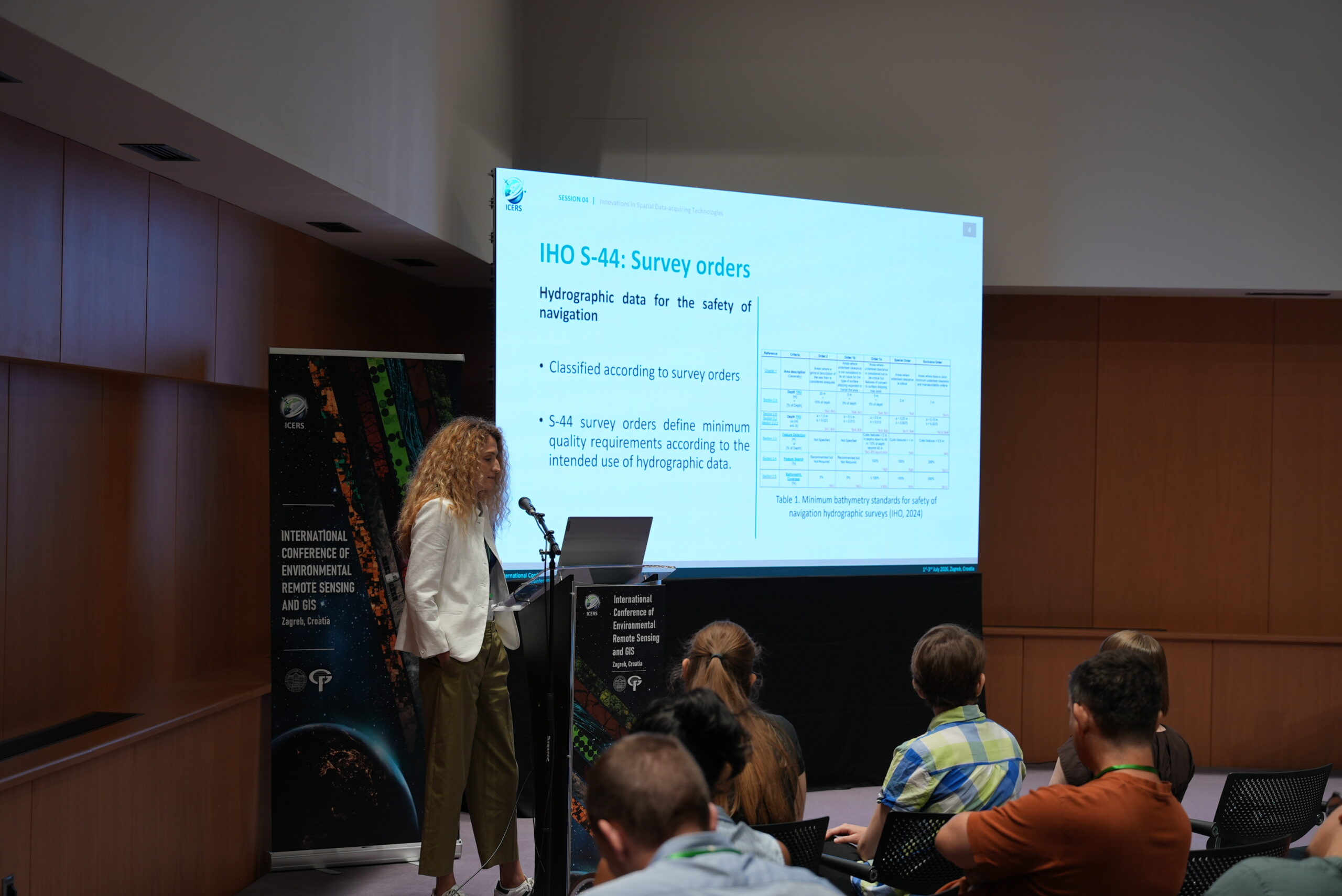
Photo
![]()
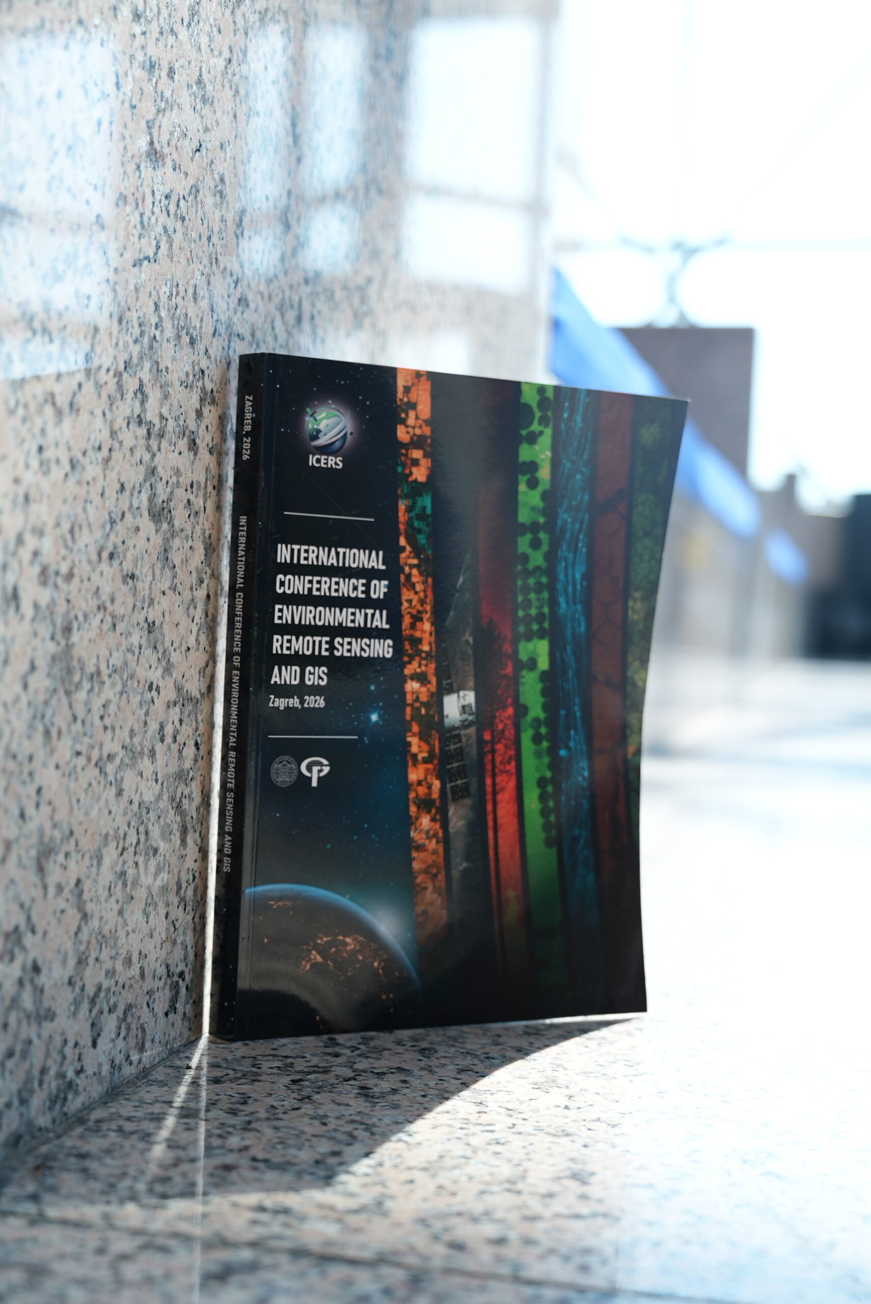
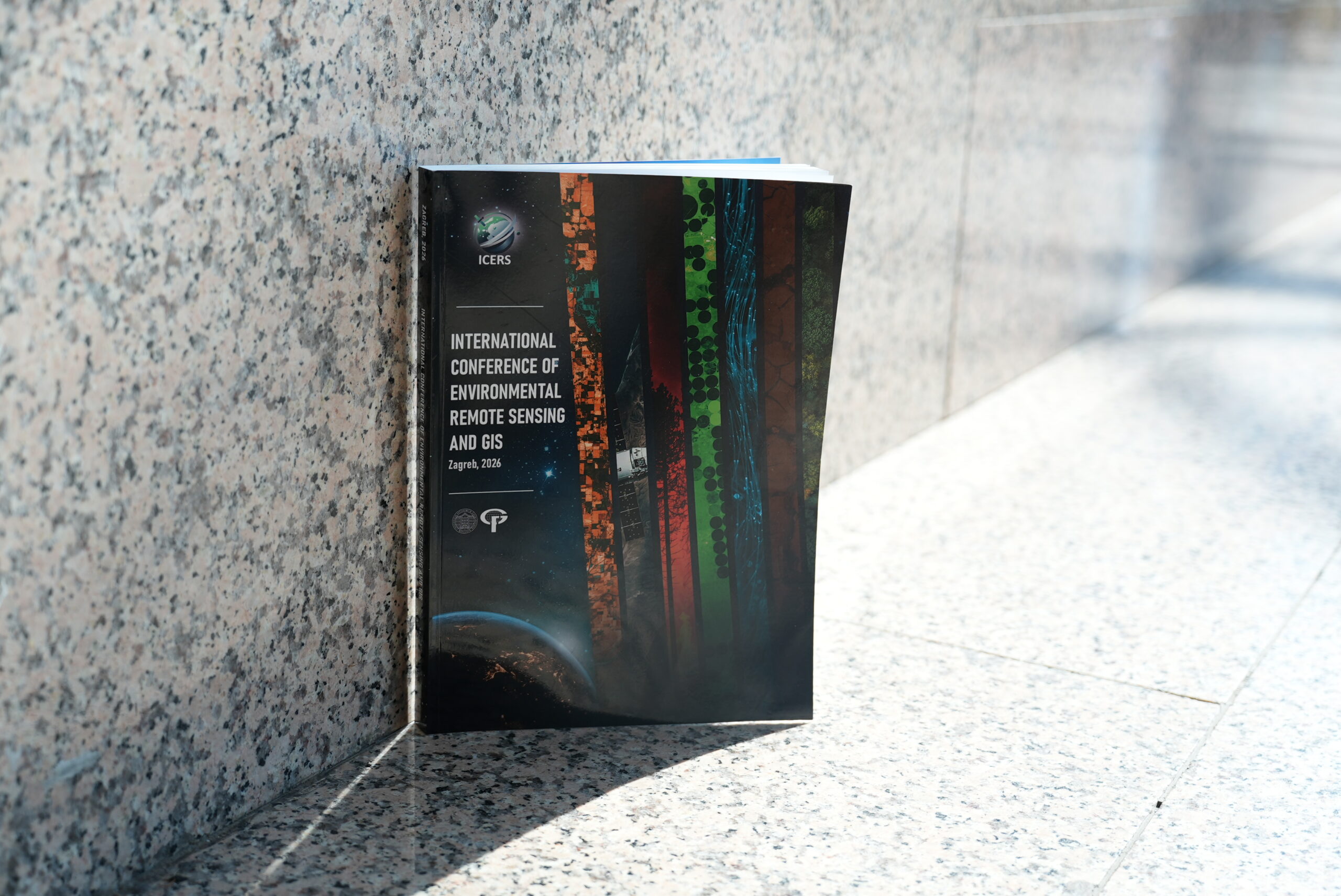
Following the successful and inspiring International Conference of Environmental Remote Sensing and GIS held in 2024, we are proud to invite you to join us at the second ICERS Conference in 2026. Having set high standards in knowledge exchange, we will once again bring together a global community of experts, academics, and enthusiasts in July 2026. ICERS serves as a unique meeting point for sharing the latest advancements and applied solutions in the fields of remote sensing and GIS, offering fresh perspectives on addressing complex environmental challenges. Special emphasis will be placed on geospatial solutions for climate change, sustainable development, and effective resource management. We invite you to engage in dynamic discussions shaping the future of our planet, with a particular focus on the transformative power of geospatial data. This conference provides an ideal platform for collaboration, strengthening partnerships, and presenting your latest research activities and projects at the global level. Announcement and call document.
Conference deadlines:
1stFebruary 2026– Abstract submission1stApril 2026– Full paper submission (up to 8 pages)1st May 2026– Registration- 1st July 2026 - Online participation listener (HKOIG/20 academic hours)
- 1st - 3rd July 2026 – ICERS Conference (Zagreb, Croatia)
Conference topics:
- Remote Sensing for Environmental Monitoring
- GIS for Sustainable Development
- Disaster Management and Response
- Conservation and Biodiversity
- Innovations in spatial data-acquiring technologies
- Multicriteria decision-making and GIS
- Climate Change mitigation politics
- Data interoperability
- Artificial intelligence and big data
Conference date: 1st - 3rd July 2026
Conference venue: National and University Library, Hrvatske bratske zajednice 4, Zagreb, Croatia (45°47'48.2"N 15°58'39.1"E)
Organizer: University of Zagreb Faculty of Geodesy
Language: English
Conference fee:
| Regular | € 275,00 (VAT included)* |
| Student | € 185,00 (VAT included)* |
| Online | € 155,00 (VAT included) |
*The fee includes access to all sessions, access to the exhibition hall, daily b2b networking, lunch, coffee and a certificate of attendance.
Venue location map:
For any other questions and information contact us via mail: icers@geof.unizg.hr
![]()
Conference venue: National and University Library, Hrvatske bratske zajednice 4, Zagreb, Croatia.
The conference program is presented below. The estimated time of each lecture is 12 minutes + Q&A.
The program in pdf format can be downloaded via the link.
1st day – 1st July 2026
| Time | Title and authors |
| 8:15-9:00 | Registration |
| 9:00-9:45 | Opening ceremony |
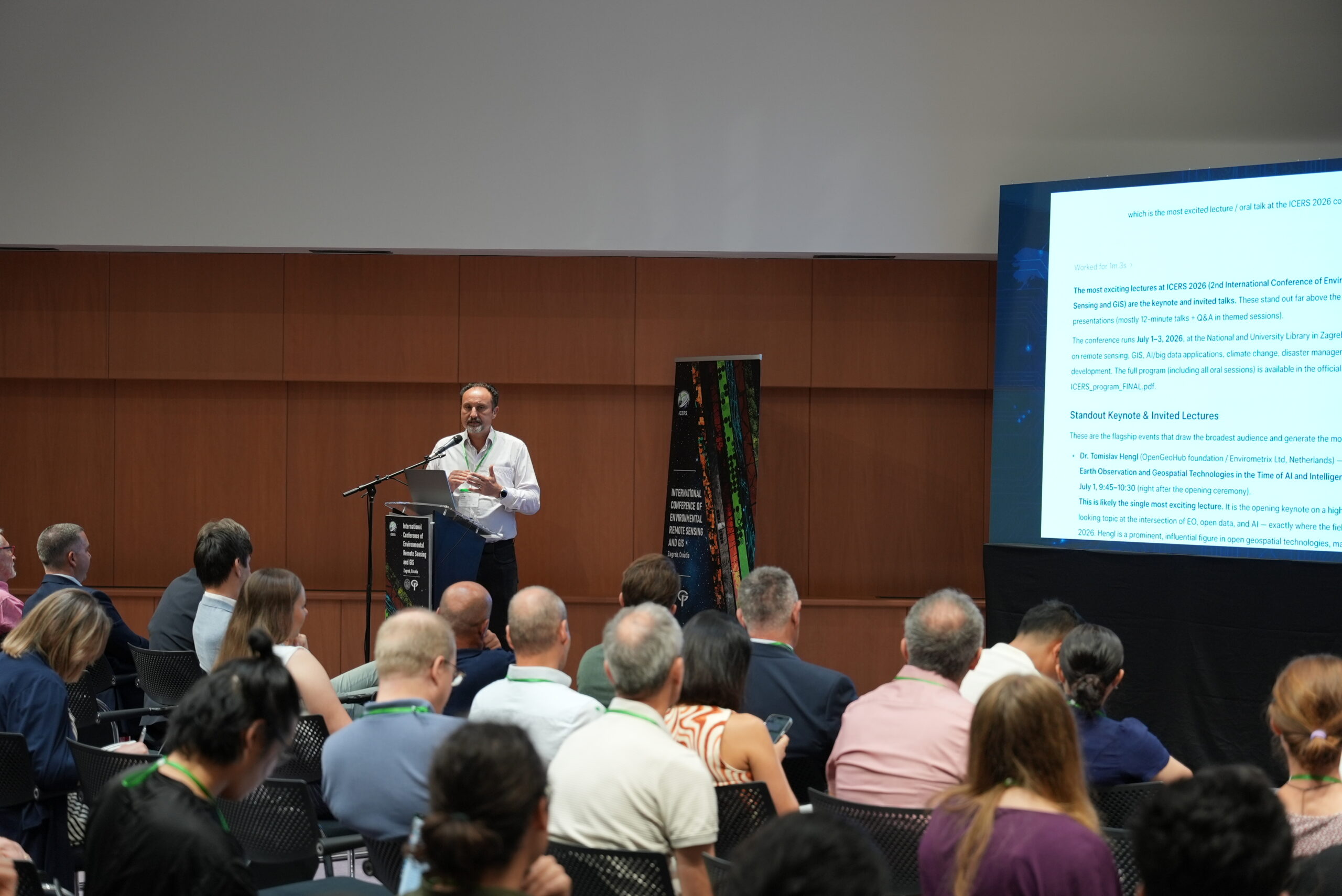
| 9:45-10:30 | Keynote speaker Dr. Tomislav Hengl, Netherlands: Future of Open Earth Observation and Geospatial Technologies in the Time of AI and Intelligent Machines |
| 10:30-10:45 | Joint photography |
| 10:45-11:00 | Coffee break |
| 11:00-11:30 | Keynote speaker Full. Prof. Geoffrey Henebry, USA: Vegetation Seasonality Indicators: Three Use Cases from Romanian Croplands |
| 11:30-13:00 | 1st session – Remote Sensing for Environmental Monitoring – Chair: Full. Prof. Geoffrey Henebry
|
| 13:00-14:00 | Lunch |
| 14:00-15:30 | 2nd session – Remote Sensing for Environmental Monitoring – Chair: Dino Dobrinić, PhD
|
| 15:30-15:45 | Coffee break |
| 15:45-17:00 | 3rd session – Remote Sensing for Environmental Monitoring – Chair: Assoc. Prof. Mateo Gašparović
|
2nd day – 2nd July 2026
| Time | Title and authors |
| 8:15-8:30 | Registration |
| 8:30-10:30 | 4th session – Innovations in Spatial Data-Acquiring Technologies – Chair: Katarina Pavlek, PhD
|
| 10:30-10:45 | Coffee break |
| 10:45-11:30 | Keynote speaker Full. Prof. Wolfgang Wagner, Austria: Analysing Sentinel-1 Data with AI Models: What Can Go Wrong? |
| 11:30-13:00 | 5th session – Disaster Management and Response – Chair: Assist. Prof. Sergej Baričević
|
| 13:00-14:00 | Lunch |
| 14:00-15:30 | Sponsor presentations
|
| 14:00-15:30 | Poster session – Chair: Klara Pejnović, MSc
|
| 15:30-15:45 | Coffee break |
| 15:45-17:15 | 6th session – GIS for Sustainable Development – Chair: Katarina Pavlek, PhD
|
3rd day – 3rd July 2026
| Time | Title and authors |
| 8:15-8:30 | Registration |
| 8:30-10:30 | 7th session – Artificial Intelligence and Big Data – Chair: Frane Gilić, PhD
|
| 10:30-10:45 | Coffee break |
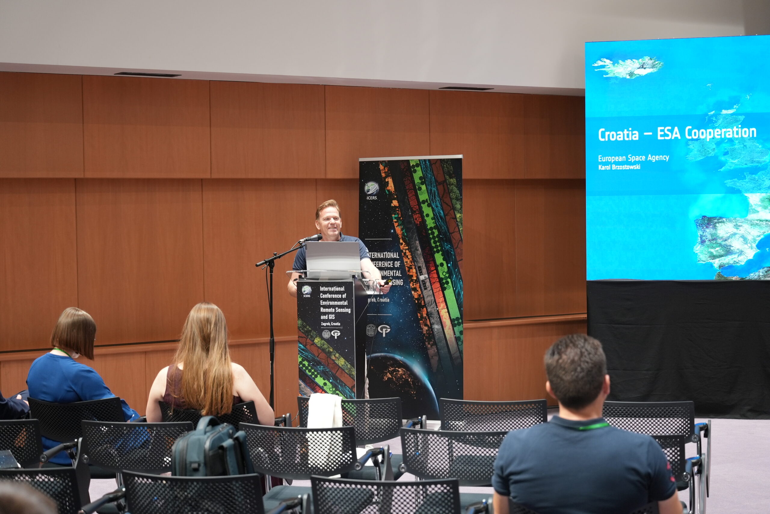
| 10:45-11:15 | Invite speaker Karol Brzostowski, Nizozemska: ESA–Croatia Cooperation: Summary and Success Stories |
| 11:15-13:00 | 8th session – Climate Change Mitigation Politics – Chair: Imelda Somodi, PhD
|
| 13:00-14:00 | Lunch |
| 14:00-15:00 | Online session presentations – Chair: Filip Radić, MSc
|
| 14:00-15:00 | Poster session – Chair: Katarina Barnjak, MSc
|
| 15:00-15:15 | Coffee break |
| 15:15-16:45 | 9th session – Conservation and Biodiversity – Chair: Assoc. Prof. Mateo Gašparović
|
| 16:45-17:00 | Closing ceremony |
Lunch and coffee breaks are included for all participants.
![]()
Conference date: 1st - 3rd July 2026
Conference venue: National and University Library, Hrvatske bratske zajednice 4, Zagreb, Croatia (45°47'48.2"N 15°58'39.1"E)
Organizer: University of Zagreb Faculty of Geodesy
Venue location map:
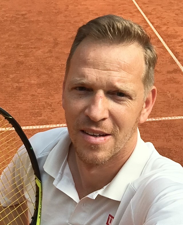
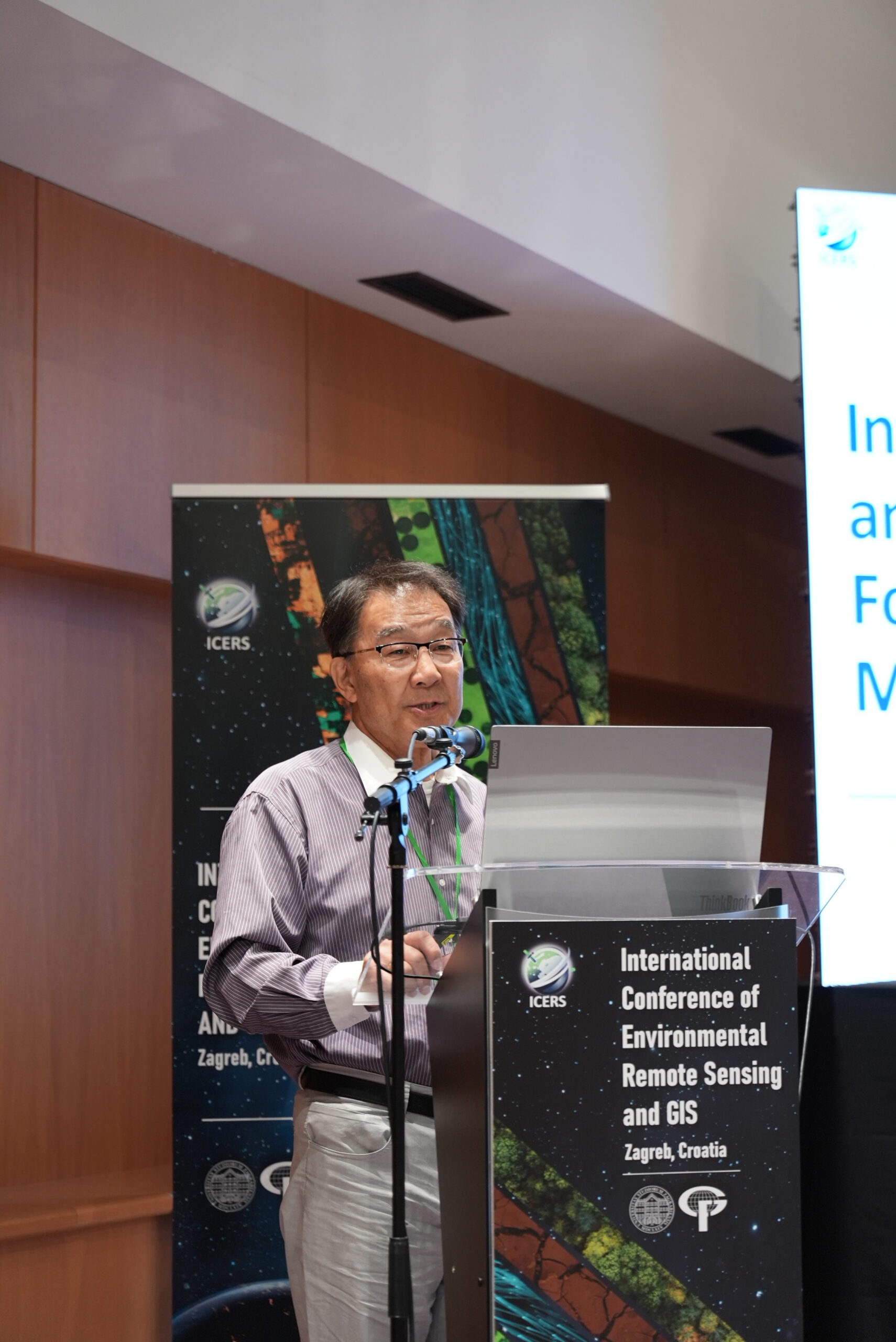
 Keynote lecture: Dr. Tomislav Hengl
![]()

![]()
Technical Director, OpenGeoHub foundation / Envirometrix Ltd, Doorwerth, Netherlands
Dr. Tomislav Hengl is the Technical Director at OpenGeoHub foundation and EnvirometriX Ltd with over 25 years of work experience in predictive soil mapping, geostatistics, GIS and remote sensing. He continuously runs hands-on-R training courses to promote use of Open Source software for spatial analysis / spatial modeling purposes. Current special interests are developing Machine Learning methods for spatial and spatiotemporal data primarily for the purpose of automated mapping / interpolation.
Keynote lecture title: "Future of Open Earth Observation and geospatial technologies in the time of AI and intelligent machines"

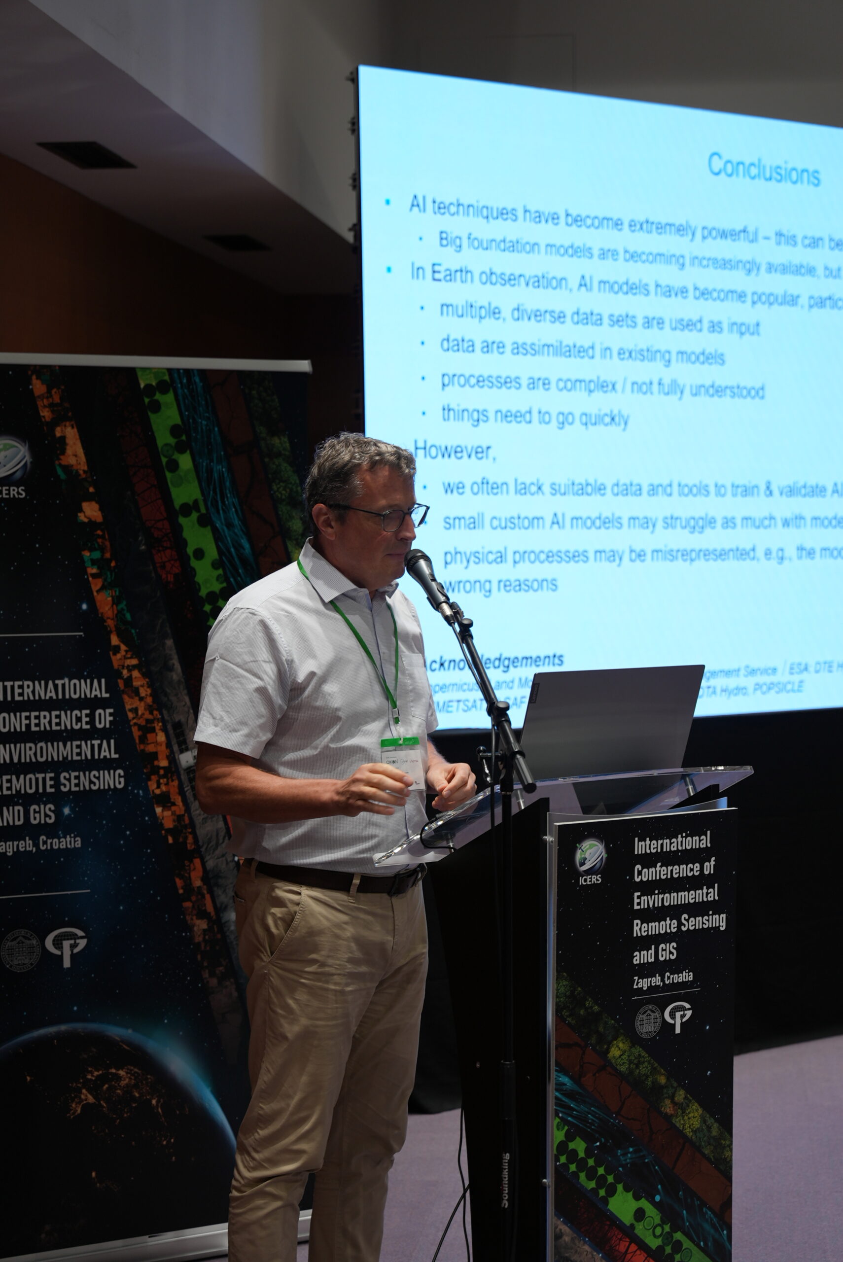
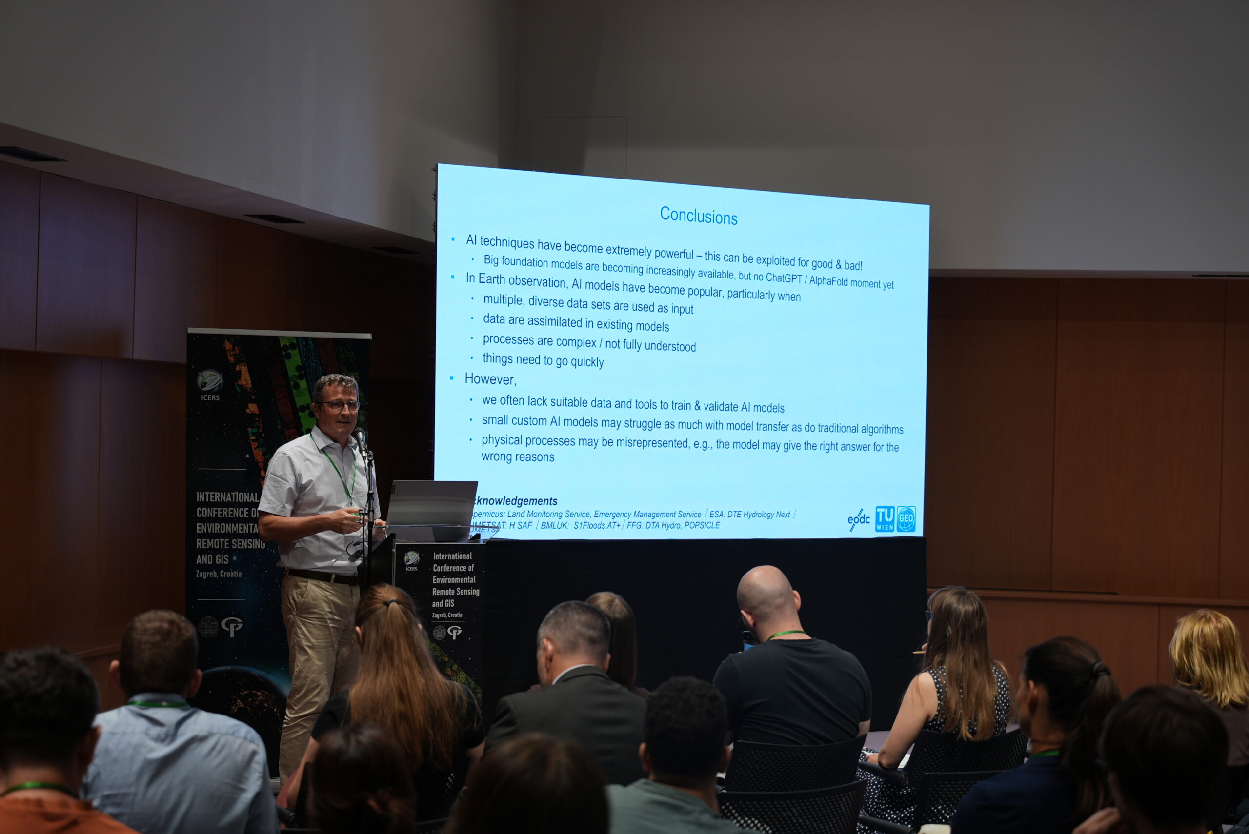
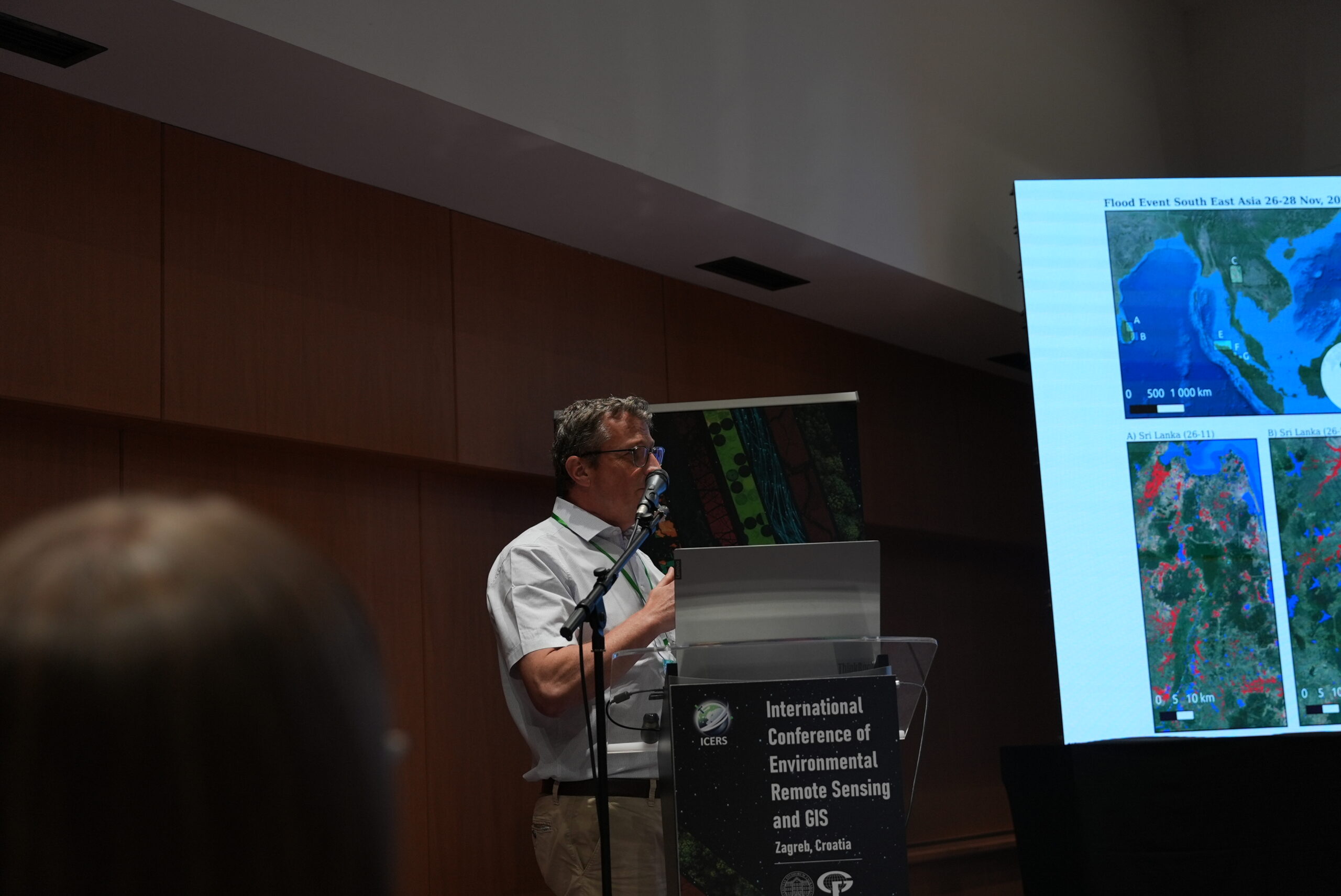
Keynote lecture: Prof. Wolfgang Wagner
![]()
![]()
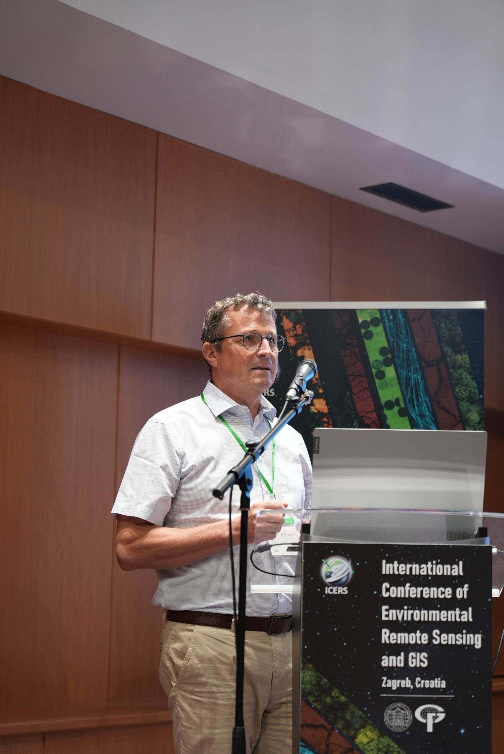
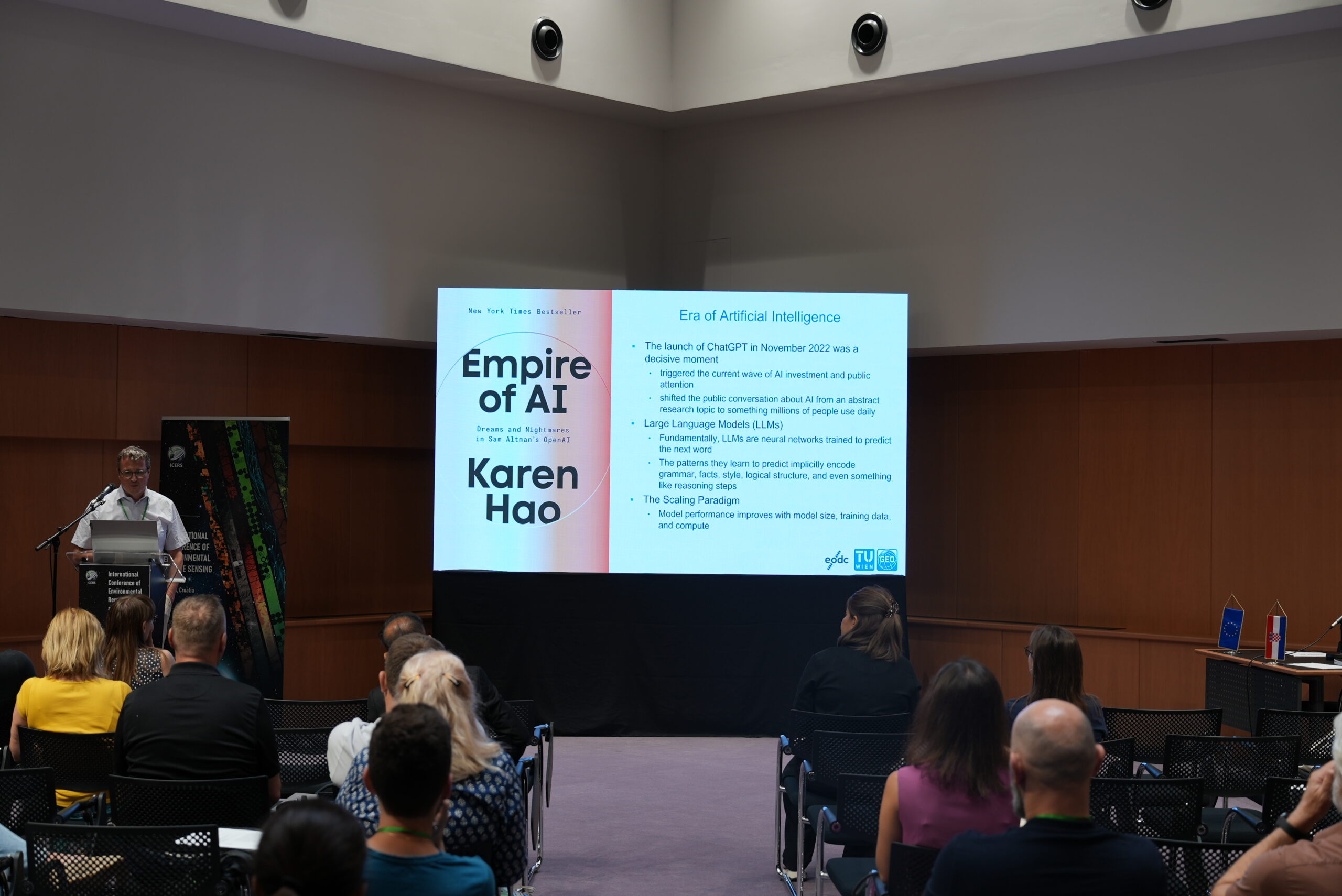
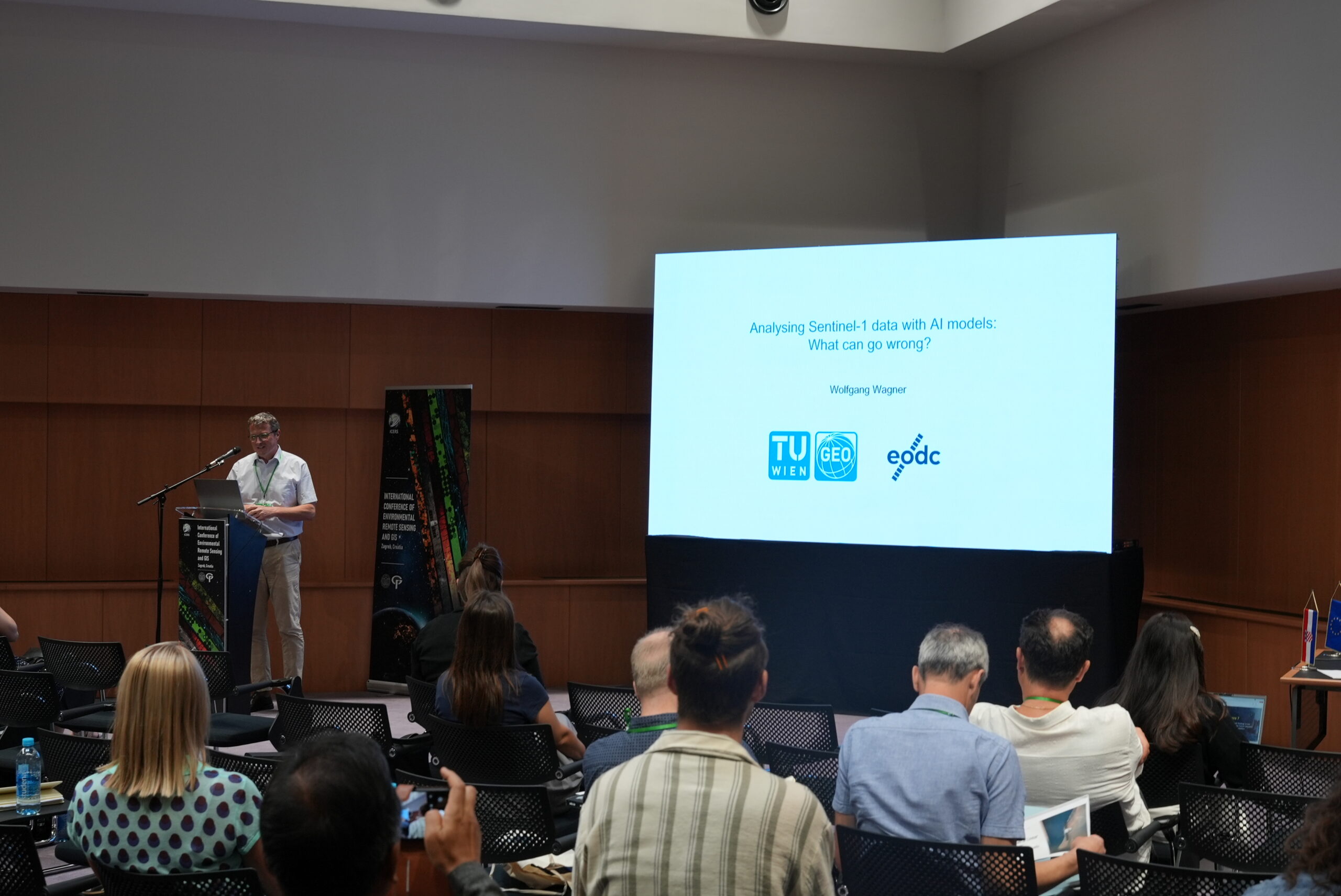
Wolfgang Wagner, Professor of Remote Sensing at TU Wien and dean of the Faculty of Mathematics and Geoinformation, is internationally recognized for his pioneering work in physical modelling and geophysical parameter retrieval from remote sensing data, particularly using microwave scatterometers, Synthetic Aperture Radar (SAR), and lidar. After earning degrees in physics and remote sensing at TU Wien, he conducted research at institutions including NASA, ESA, and the European Commission before joining the German Aerospace Agency in 1999 and TU Wien in 2001. Co-founder of the EODC Earth Observation Data Centre, Wagner’s research has enabled operational soil moisture and flood monitoring services for EUMETSAT and Copernicus. He has held leadership roles in ISPRS and the GCOS/WCRP Terrestrial Observation Panel for Climate, and currently chairs the Aerospace Advisory Council of Austria’s Space Promotion Agency. His contributions have earned him the ISPRS Frederick J. Doyle Award and recognition as a Highly Cited Researcher in Geosciences (2018–2025).
Keynote lecture title: "Analysing Sentinel-1 data with AI models: What can go wrong?"
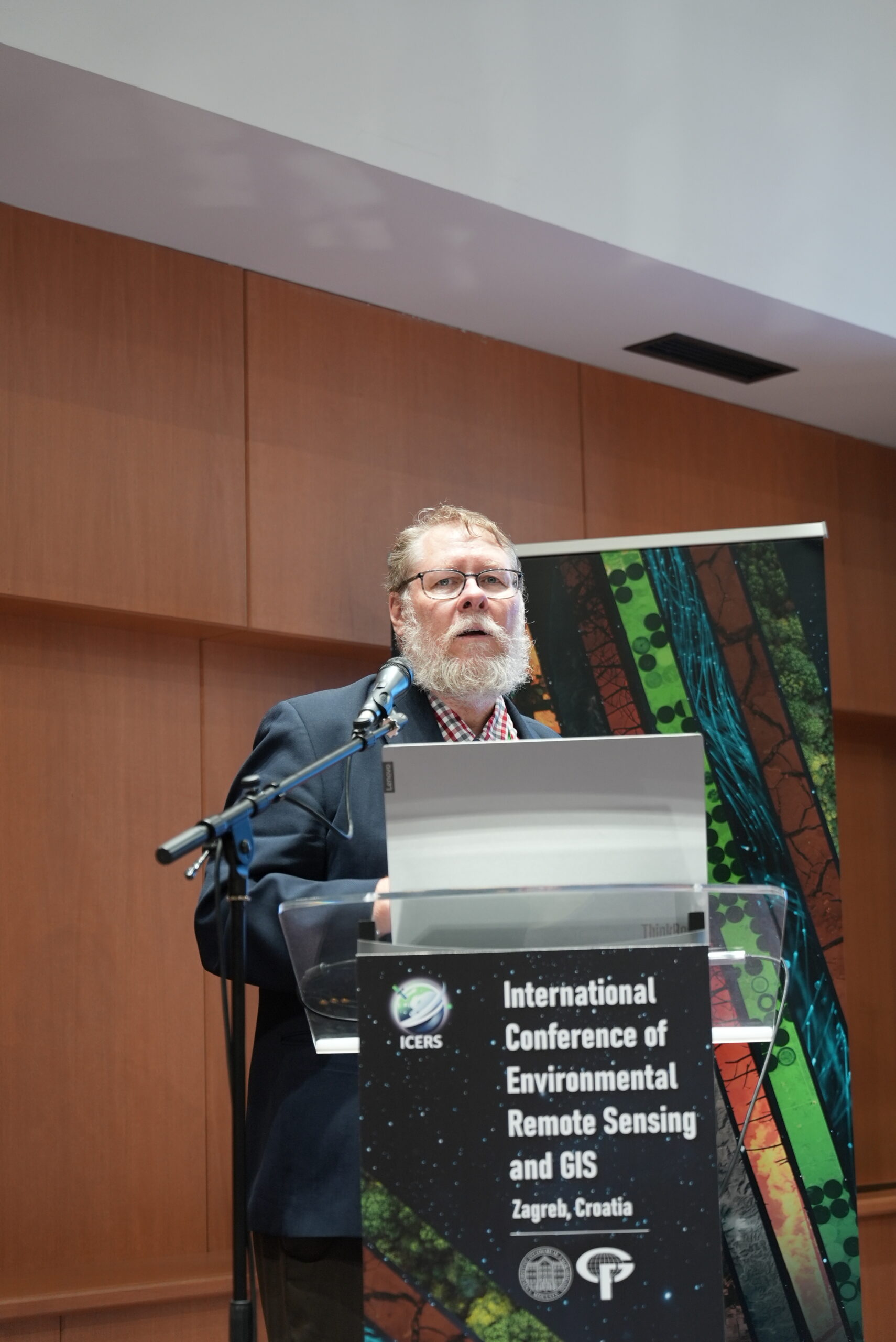
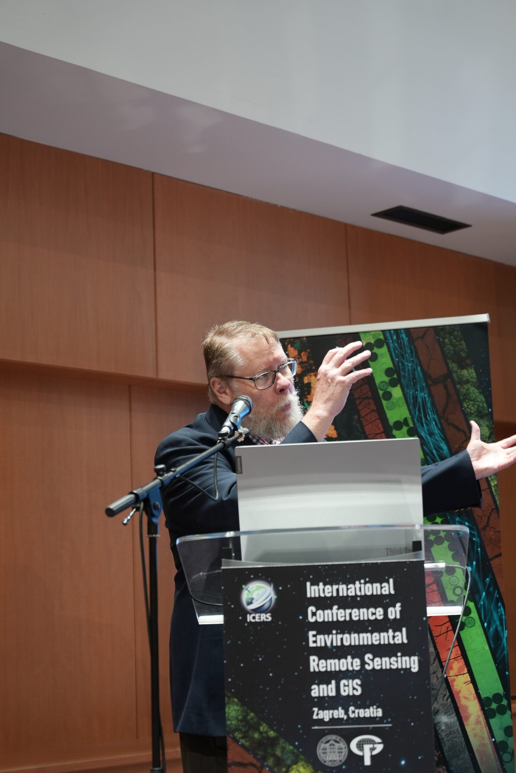
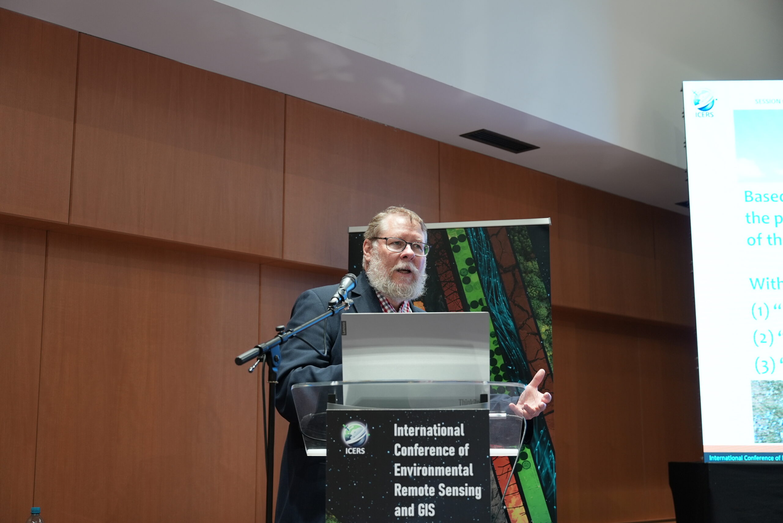
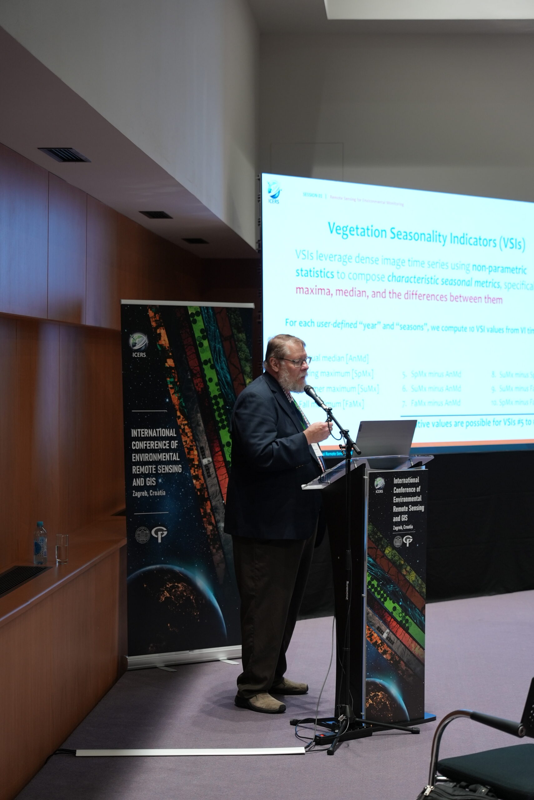
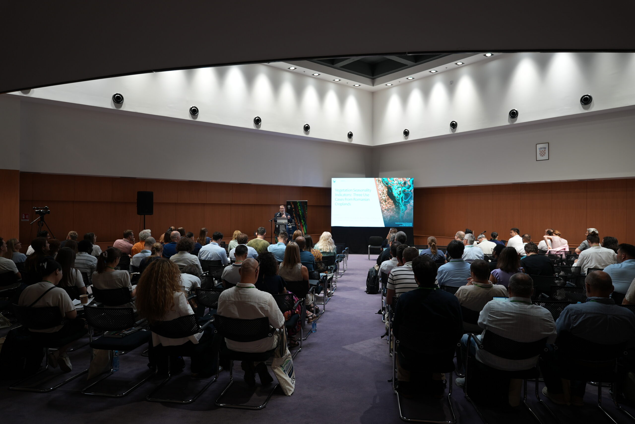
 Keynote lecture: Prof. Geoffrey M. Henebry
![]()
![]()
Geoff Henebry is a tenured full Professor with split appointment between the Department of Geography, Environment, and Spatial Sciences and the Center for Global Change and Earth Observations at Michigan State University. His research interests are broad, but a recurrent theme is the use of remote sensing and geospatial technologies to study environmental patterns and processes, including quantitative analysis and modeling of land surface phenology and land cover land use change.
Keynote lecture title: "Vegetation Seasonality Indicators: Three Use Cases from Romanian Croplands"
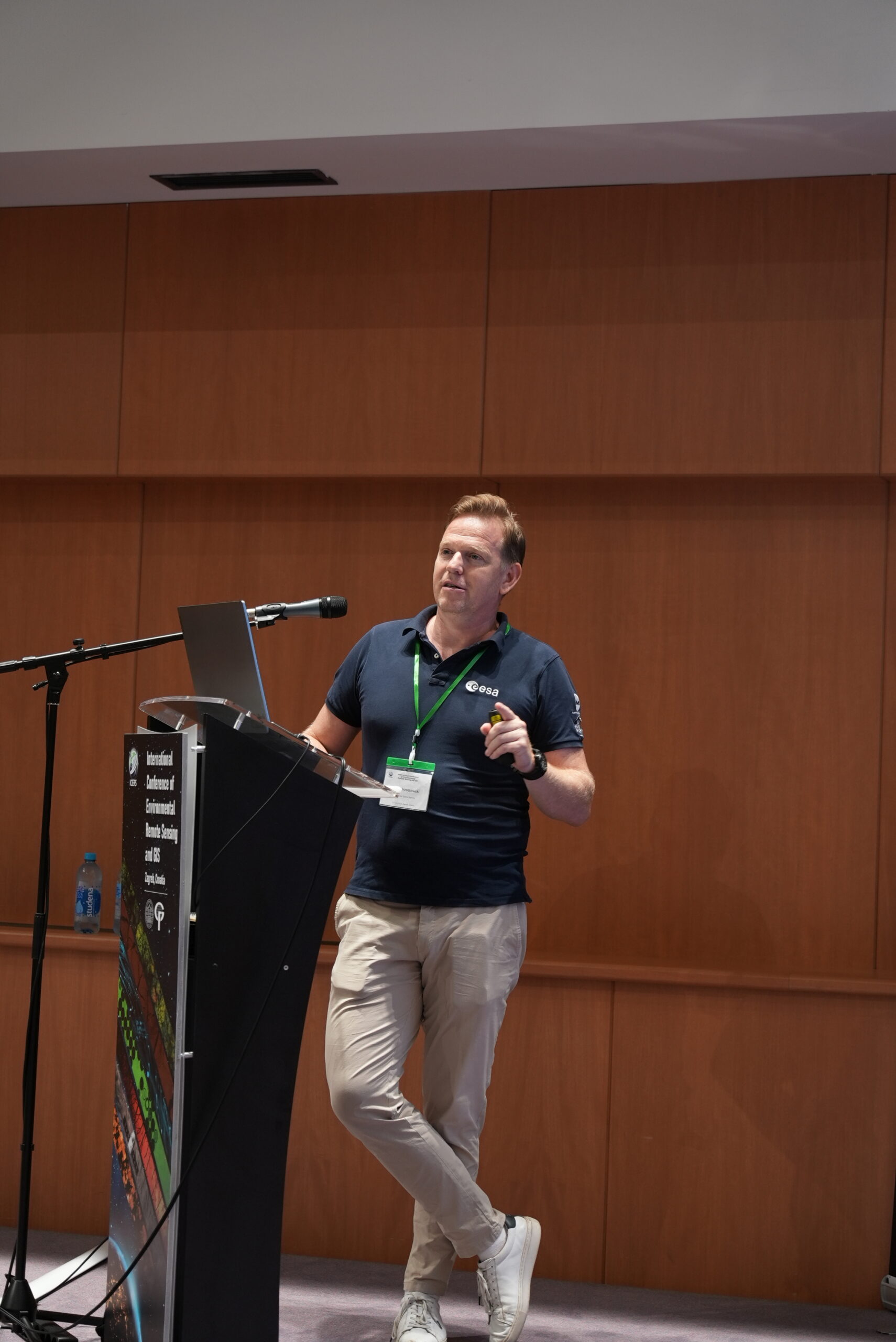
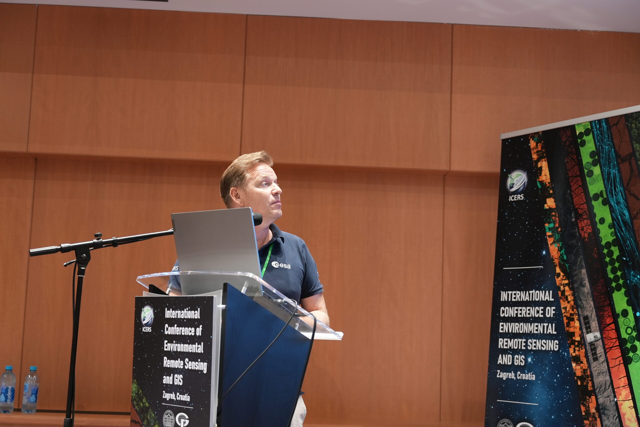
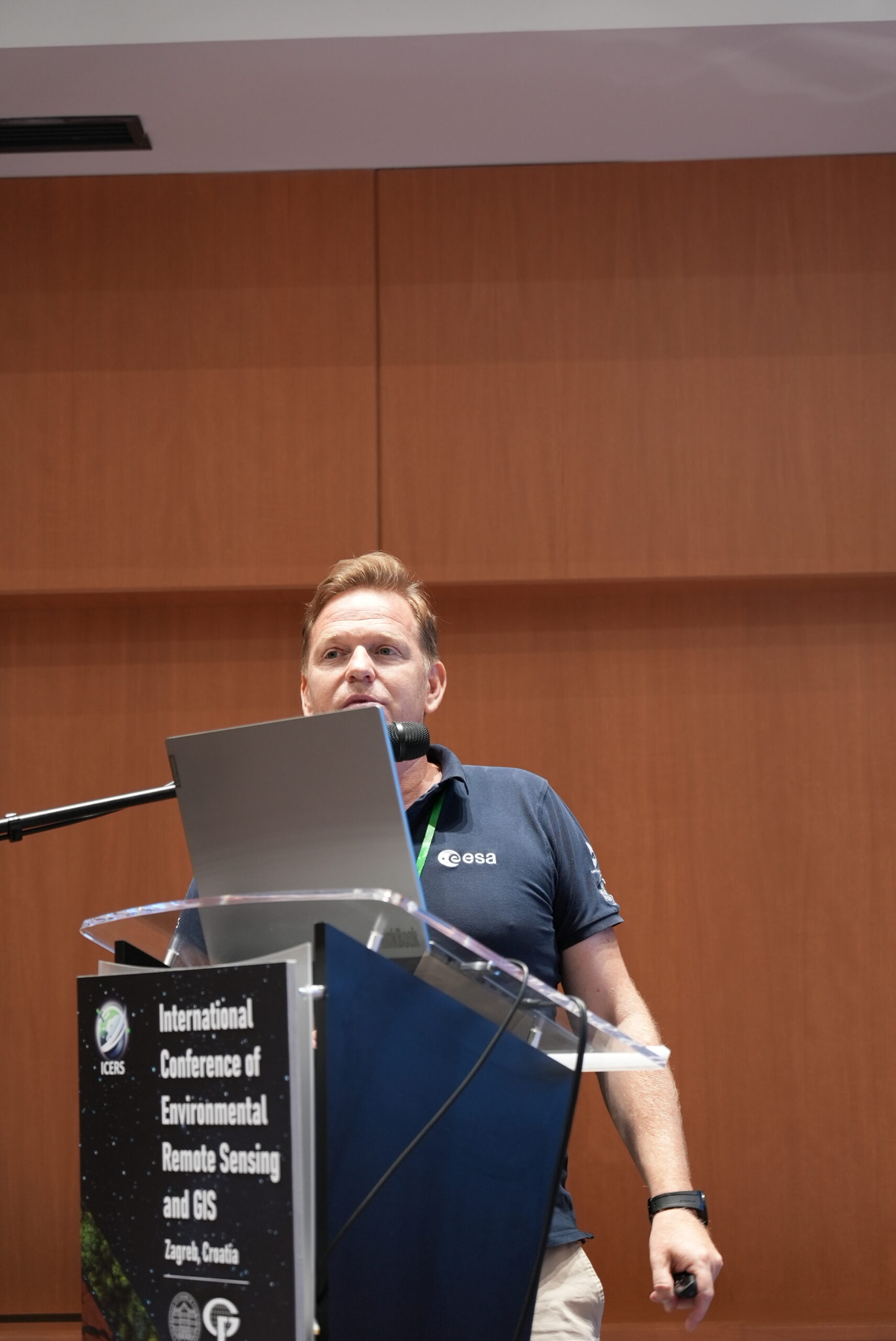
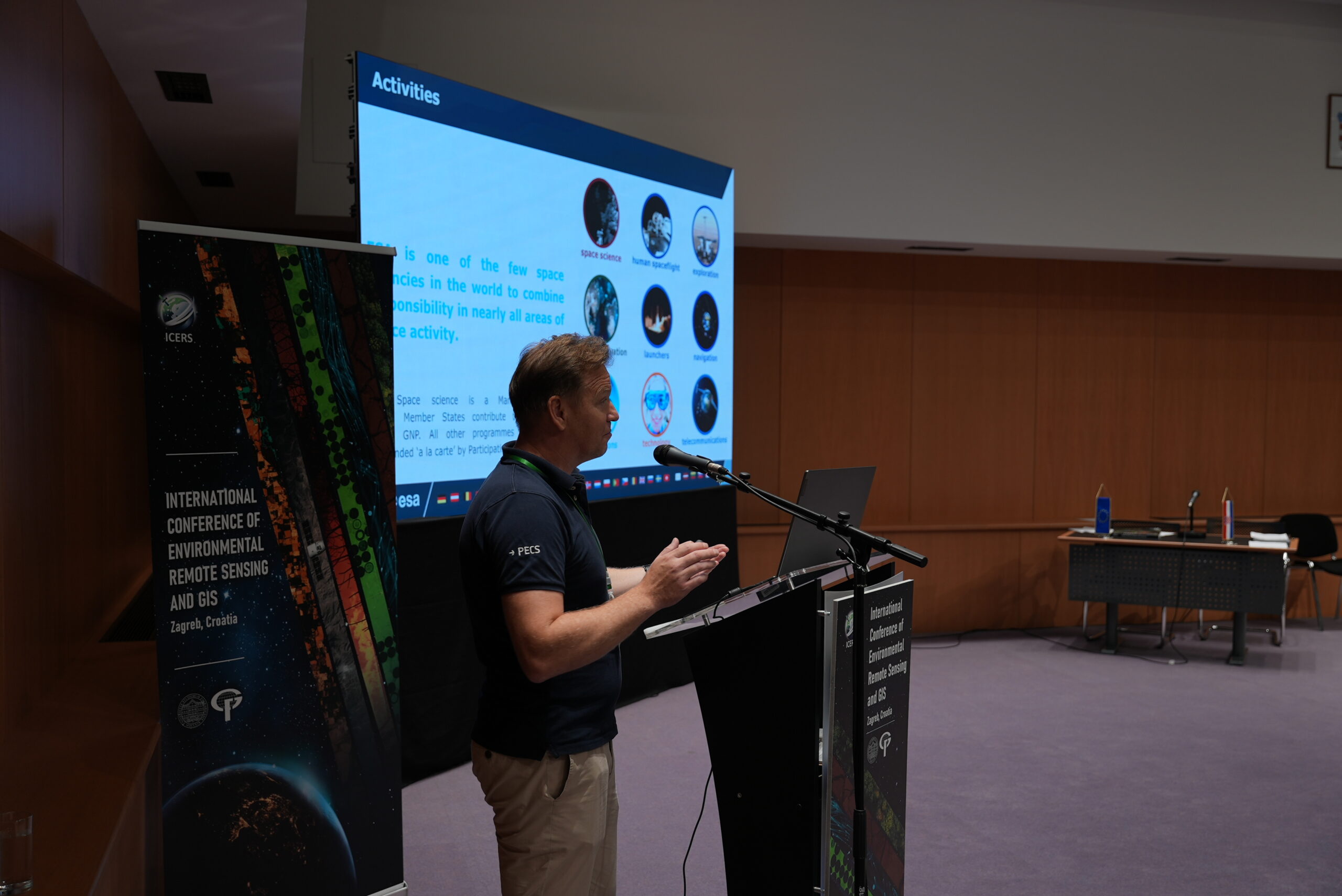
 Invite lecture: MSc Karol Brzostowski
![]()
![]()
MSc engineer in Satellite Geodesy and Navigation (GNSS) and post-graduate diploma in Management of Space Business. He is also certified Project Manager. Karol Brzostowski has 18 years of professional experience in space business development. He is currently working in European Space Agency (ESA) in the Capability and Country Support Division as a Country Desk Officer (responsible for Croatia, Latvia and Slovenia) and support engineer. He is responsible for supporting entities in the space business development and for supporting delegations in integration process with ESA. Previously, he was working in space industry in Poland at the position of Head of Space Applications and Services Division in Astri Polska (JV Airbus Defence & Space and Space Research Centre).
Invite lecture title: “ESA–Croatia Cooperation: Summary and Success Stories”
![]()
Scientific committee:
- Assoc. Prof. Mateo Gašparović (president), Croatia
- Prof. Geoffrey Henebry, USA
- Prof. Xinlian Liang, China
- Prof. Virginia Ruiz-Villanueva, Switzerland
- Assoc. Prof. Sudhir Kumar Singh, India
- Assoc. Prof. Gordana Kaplan, Turkey
- Assoc. Prof. Yongze Song, Australia
- Assist. Prof. Sergej Baričević, Croatia
- Assist. Prof. Dorijan Radočaj, Croatia
- Dino Dobrinić, PhD, Croatia
- Iva Gašparović, PhD, Croatia
- Valentas Gružauskas, PhD, Lithuania
- Txomin Hermosilla, PhD, Canada
- Damir Klobučar, PhD, Croatia
- Katarina Pavlek, PhD, Croatia
- Andrea Pietrelli, PhD, France
- Ivan Pilaš, PhD, Croatia
- Ronald Pöppl, PhD, Austria
- Imelda Somodi, PhD, Hungary
Organizing committee:
- Assoc. Prof. Mateo Gašparović (president)
- Prof. Mladen Zrinjski
- Prof. Robert Župan
- Assist. Prof. Sergej Baričević
- Dino Dobrinić, PhD
- Katarina Pavlek, PhD
- Katarina Barnjak, MSc
- Ivana Jarak, MSc
- Klara Pejnović, MSc
- Filip Radić, MSc
- Marijo Seničić, MSc
Registration and abstract submission
Full papers will be published after a double-blind review process. All accepted papers (up to 8 pages) will be published in conference proceedings. Presentation of the accepted papers is possible in person (Zagreb, Croatia).
Submission of abstracts is possible through the online form (closed).
Registration for conference participation is available through the online form (closed).
Registration for online conference participation is available through the online form.
For any other questions and information contact us via mail: icers@geof.unizg.hr
The conference is organized as part of the project Assessment of the Long-term Climatic and Anthropogenic Effects on the Spatio-temporal Vegetated Land Surface Dynamics in Croatia using Earth Observation Data (ALCAR) funded by the Croatian Science Foundation.
Participation fee:
| Regular | € 275,00 (VAT included)* |
| Student | € 185,00 (VAT included)* |
| Online | € 155,00 (VAT included) |
*The fee includes access to all sessions, access to the exhibition hall, daily b2b networking, lunch, coffee and a certificate of attendance.
Due to the limited number of places, please register for participation as soon as possible to secure your place at the conference.
Conference Fee Payment
Seller: University of Zagreb, Faculty of Geodesy, Kačićeva 26, HR-10105 Zagreb, Croatia, OIB: 43594593297, Tel.: +385959043550, e-mail: icers@geof.unizg.hr
Service description: One conference fee for the International Conference of Environmental Remote Sensing and GIS, which will be held from July 1–3, 2026, at the National and University Library (Hrvatske bratske zajednice 4, Zagreb, Croatia).
Payment
| Regular - in person | € 275,00 (VAT included+3% payment fee) | Payment via link |
| Student - in person | € 185,00 (VAT included+3% payment fee) | Payment via link |
| Online participation listener | € 155,00 (VAT included, payment fee included) | Payment via link |
Payment methods
| Card payment |
|
| Bank transfer to IBAN (based on proforma invoice). Available for Regular and Student - in person | HR65 2340009-1100010196 |
Payment can be made by credit and debit cards (Visa, Mastercard, Maestro) and via Google Pay and Apple Pay.
Terms and Conditions
The registration fee includes participation in the International Conference of Environmental Remote Sensing and GIS (ICERS) (1–3 July 2026, Zagreb), and registration is considered valid upon confirmation of payment. The registration fee is generally non-refundable, except in the event of conference cancellation by the organizer, the University of Zagreb Faculty of Geodesy, in which case actions will be taken in accordance with applicable regulations and the organizer’s decision. The organizer reserves the right to modify the program, schedule, or venue without the obligation to issue refunds. The participant is responsible for the accuracy of the provided information, and personal data will be processed solely for the purpose of organizing the conference in accordance with the General Data Protection Regulation (EU) 2016/679; more information is available at: https://www.geof.unizg.hr/zastita-podataka/. Complaints may be submitted via e-mail and will be handled in accordance with the applicable laws of the Republic of Croatia. In the event of a dispute, the competent court in Zagreb shall have jurisdiction.
Online Payment Security Statement
CorvusPay ensures complete confidentiality of your card data from the moment you enter it into the CorvusPay payment form. Card data is transmitted in encrypted form from your web browser to the bank that issued your card. The CorvusPay merchant never has access to your full card details. Likewise, the data is not accessible even to CorvusPay employees. Likewise, the data is not accessible even to CorvusPay employees. All CorvusPay payment forms are secured with SSL encryption of the highest security level. In accordance with card network requirements, all data is stored securely, and its processing is carried out within certified systems.
![]()
To ensure a comfortable stay during the conference, special promotional accommodation rates have been arranged with the listed hotels. These promotional rates are available for the period from 30 June to 4 July 2026.
Each participant is responsible for their own booking and payment. All necessary information regarding the promotional booking process will be provided once the conference registration fee has been successfully processed.
Due to limited capacity, we highly recommend registering and booking your accommodation as early as possible.
| Hotel |  / / |
Distance |
| Zonar ★★★★ |
€ 111/121 | 19 min  |
| Blue ★★★★ |
€ 95/100 | 32 min |
| Orient ★★★ |
€ 75/95 +more | 12 min |
| Garden ★★★★ |
€ 98/105 | 20 min |
| Central ★★★ |
€ 85/105 | 12 min |
| Fala ★★ |
€ 75/90 +more | 6 min  |
*breakfast is included in all listed prices
*all prices are quoted per night
*tourist tax is not included in the quoted prices
To enable students and PhD students to participate in the conference under financially affordable conditions, we have secured a limited number of accommodation places in student dormitories in Zagreb (approximately 30 places). An overview of the available student dormitories and nightly rates is provided in the table below.
Detailed information regarding the reservation procedure will be provided after the conference registration fee has been confirmed.
| Student dormitory | |
Distance |
| Cvjetno naselje | € 15 | 32 min |
| Stjepan Radić | € 15 | 29 min |
 - single room
- double room
 - tram distance
 - walking distance
Travel Grant Announcement
We are pleased to announce that a limited number of travel grants will be available to support PhD students and young scientists attending the conference. Travel grants are intended to encourage the participation of PhD students and young scientists by reducing the financial barriers associated with attending the event.
Application Details:
Travel grants are available exclusively to PhD students and young scientists (under 35 years old) whose full paper has been accepted. Travel grants cover the registration fee and accomodation costs for 4 nights in Hotel International Zagreb (30 June - 4 July, breakfast included).
Eligible authors can apply for a travel grant via the online form until 1 April 2026. Applicants must have:
1. received a positive decision on the acceptance of their abstract, and
2. submitted their full paper to ICERS 2026.
The documents required in the form are a cover letter, a letter of institutional support, CV and a document verifying student status or date of birth.
Applications for travel grants submitted without the full paper will not be considered.
The decision on travel grant awards will be announced on 1 May 2026.
We encourage all PhD students and young scientists who submitted abstracts to consider applying for the travel grant.
Please complete the Travel Grant Submission to be considered.
The grants have been awarded and all recipients have been notified by e‑mail.
Under the patronage of:

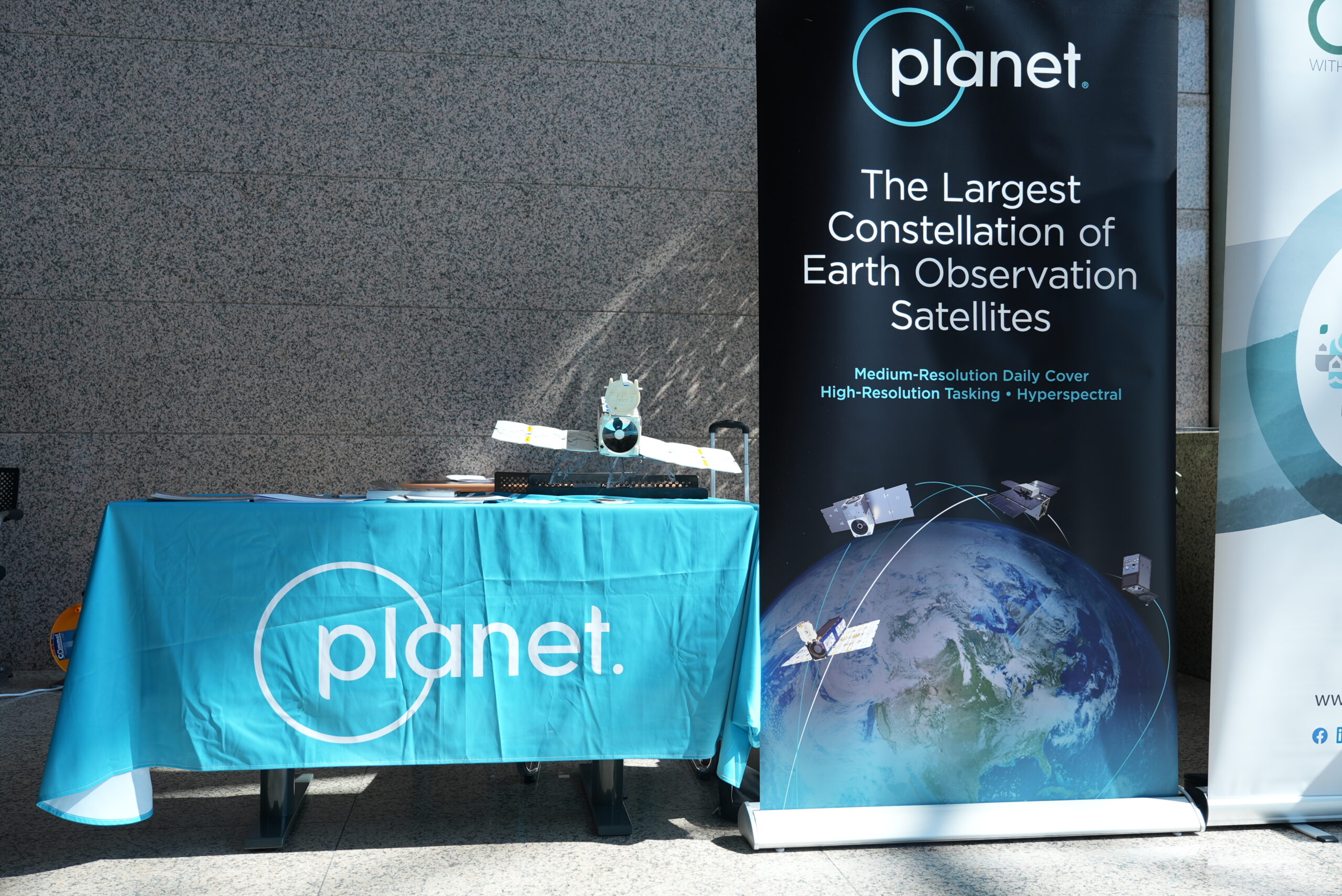
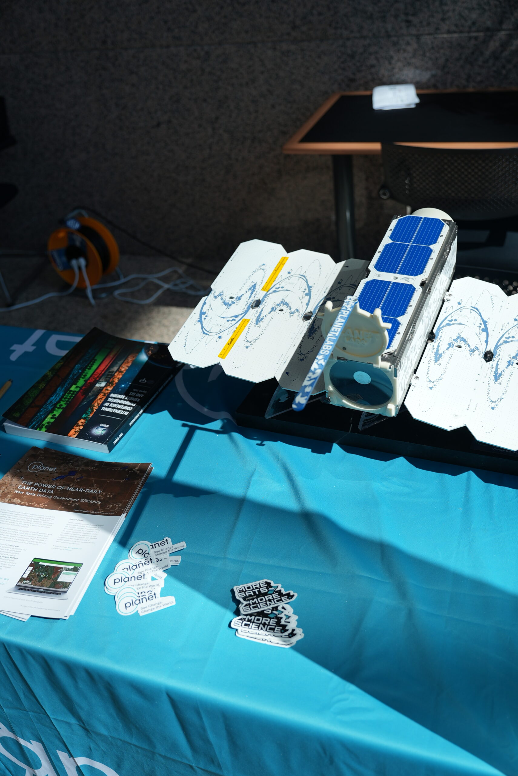
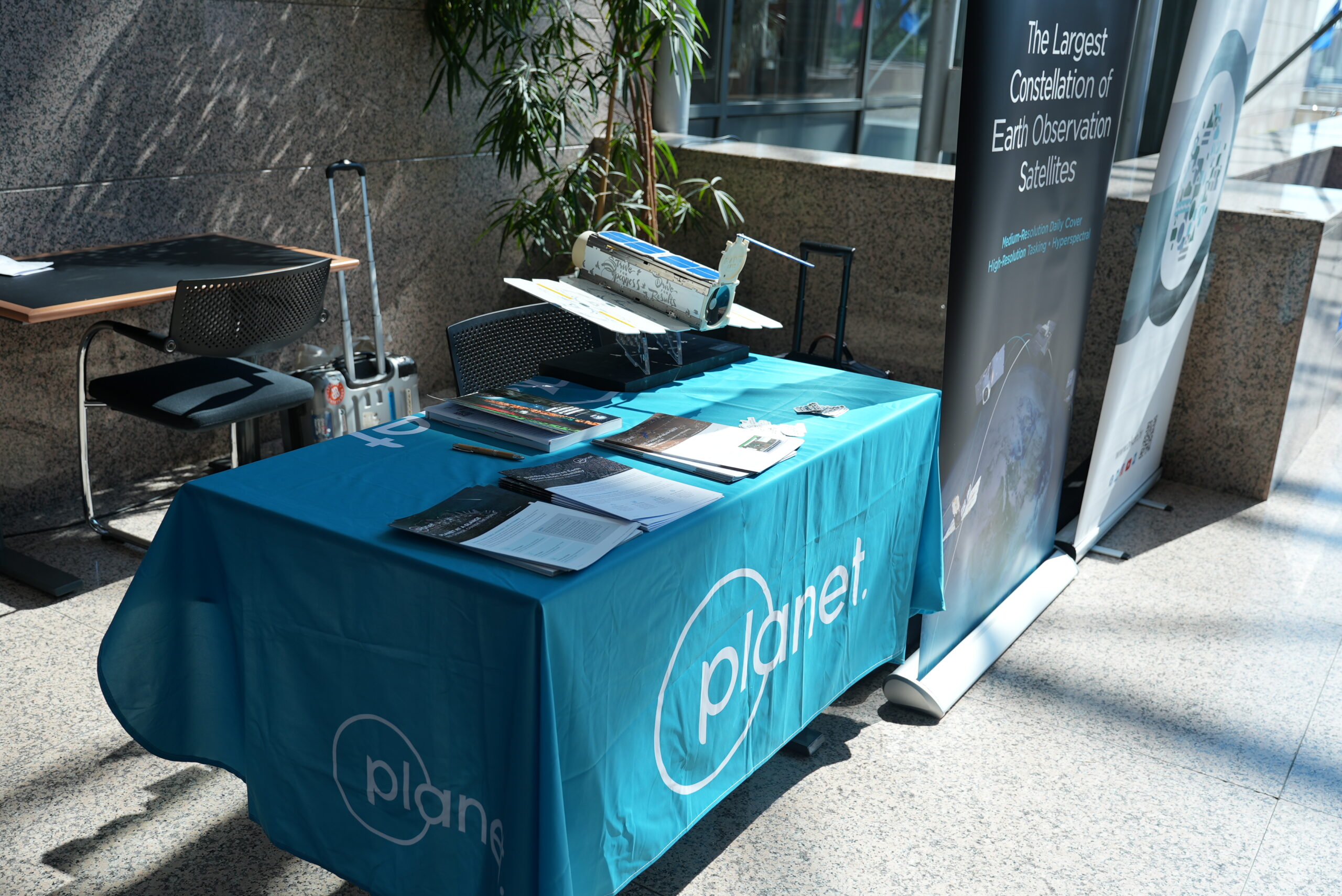
Gold sponsors:
![]()
![]()
![]()
Silver sponsors
![]()
![]()
Bronze sponzors:


![]()
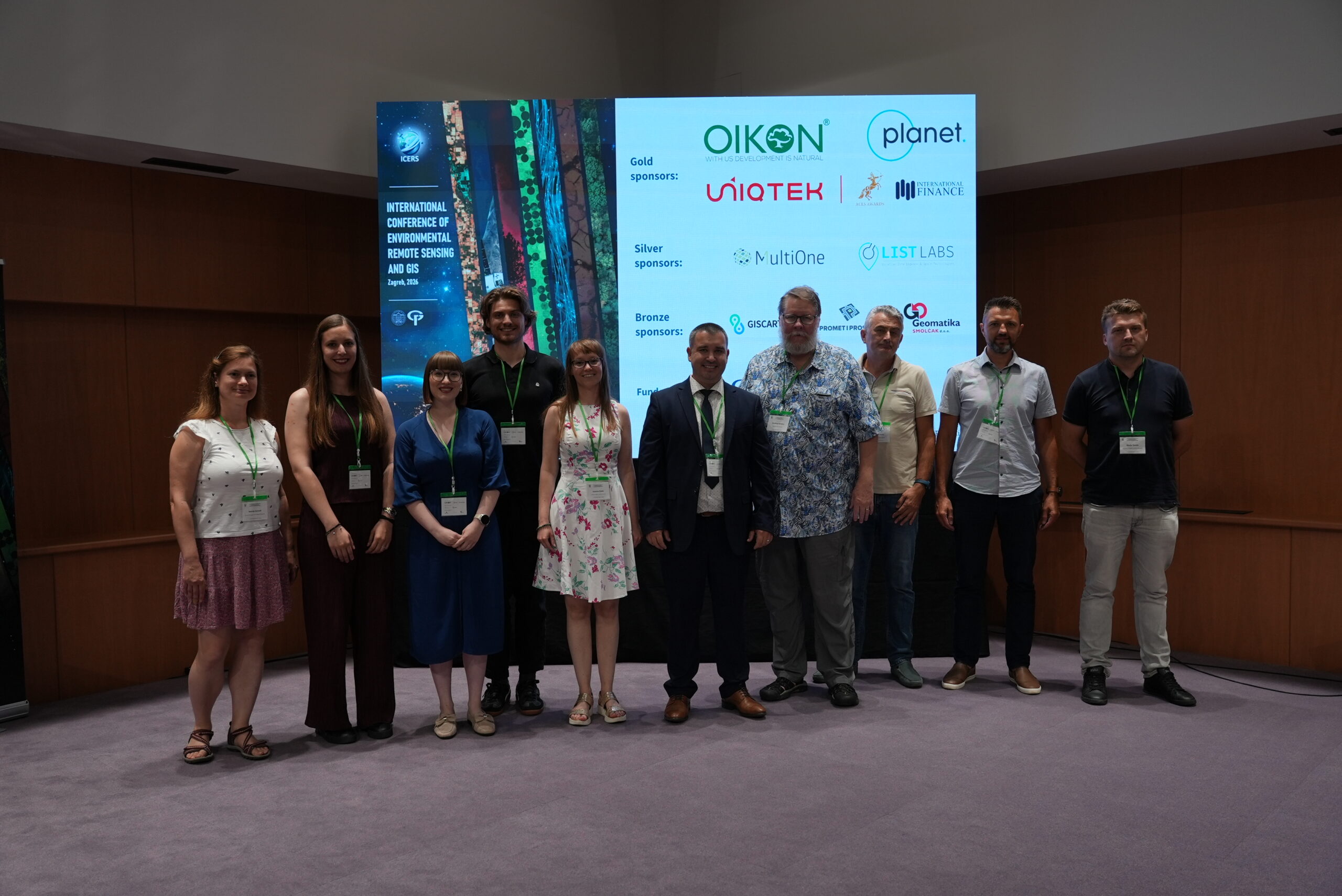
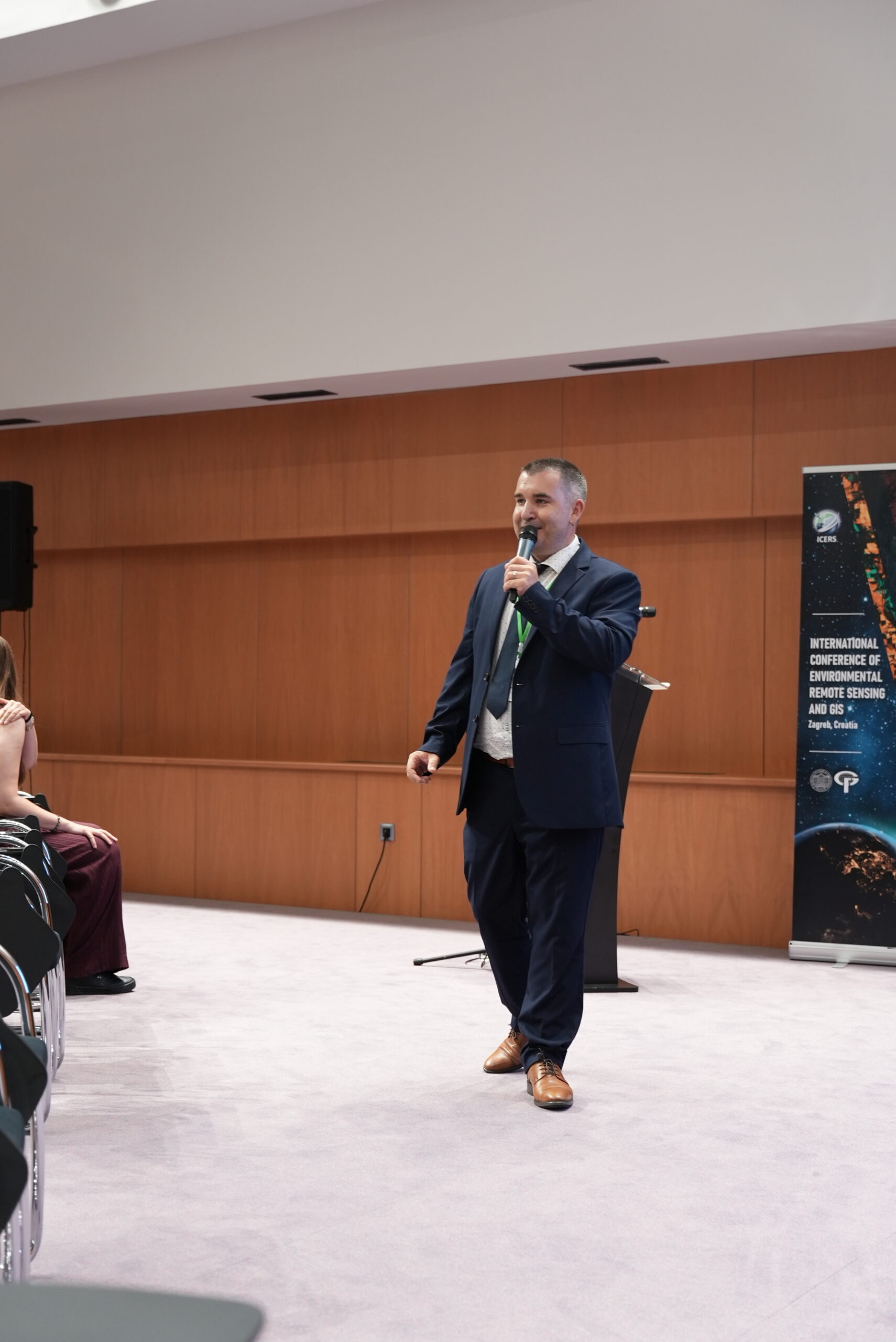
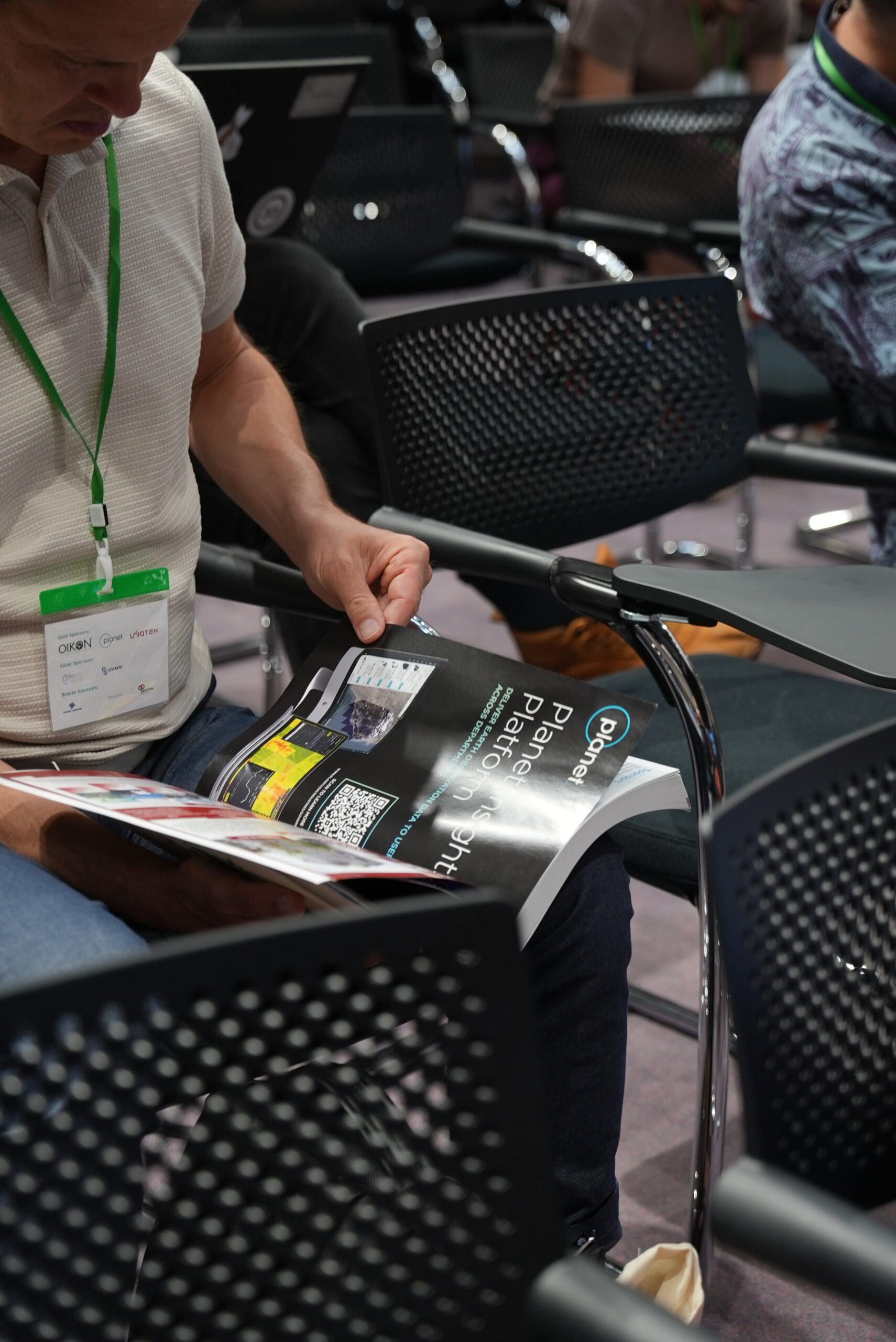
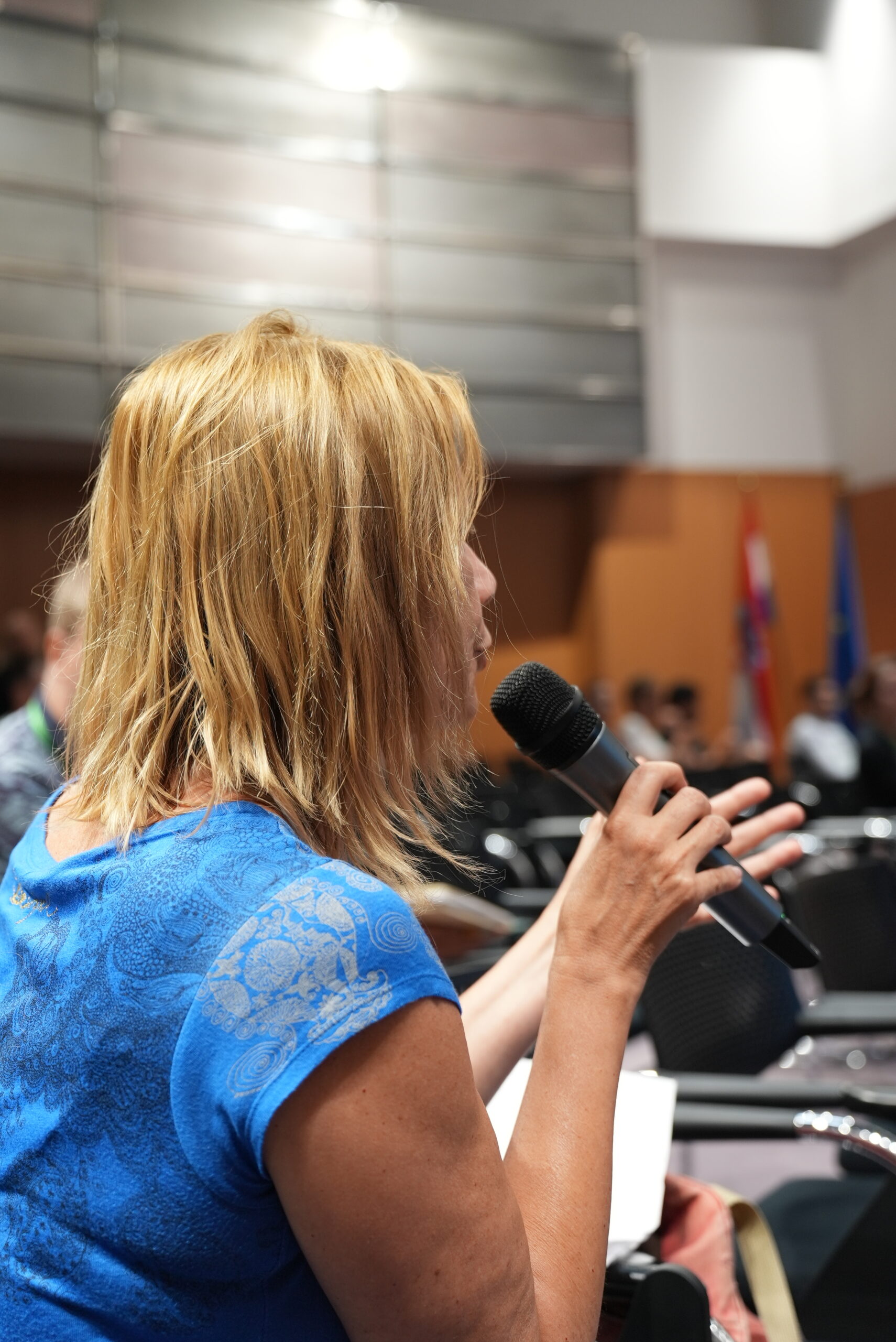
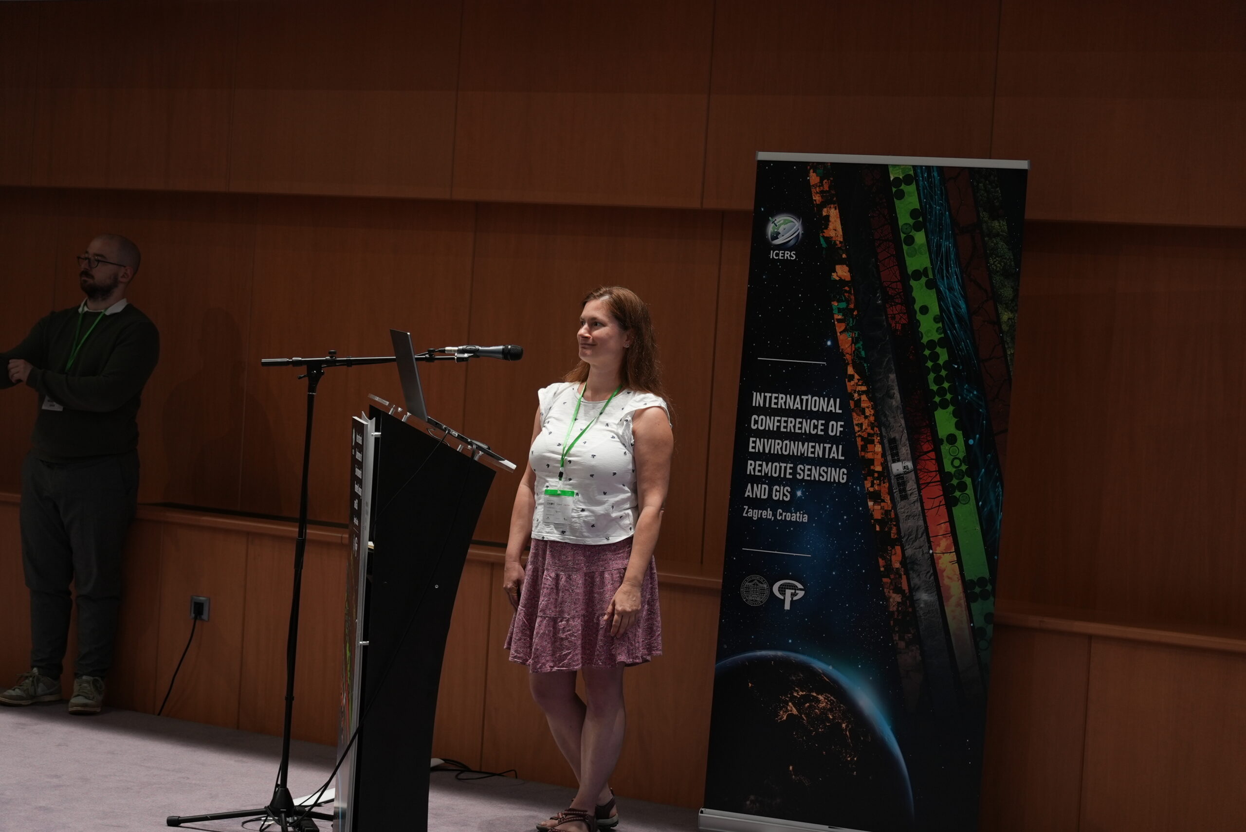
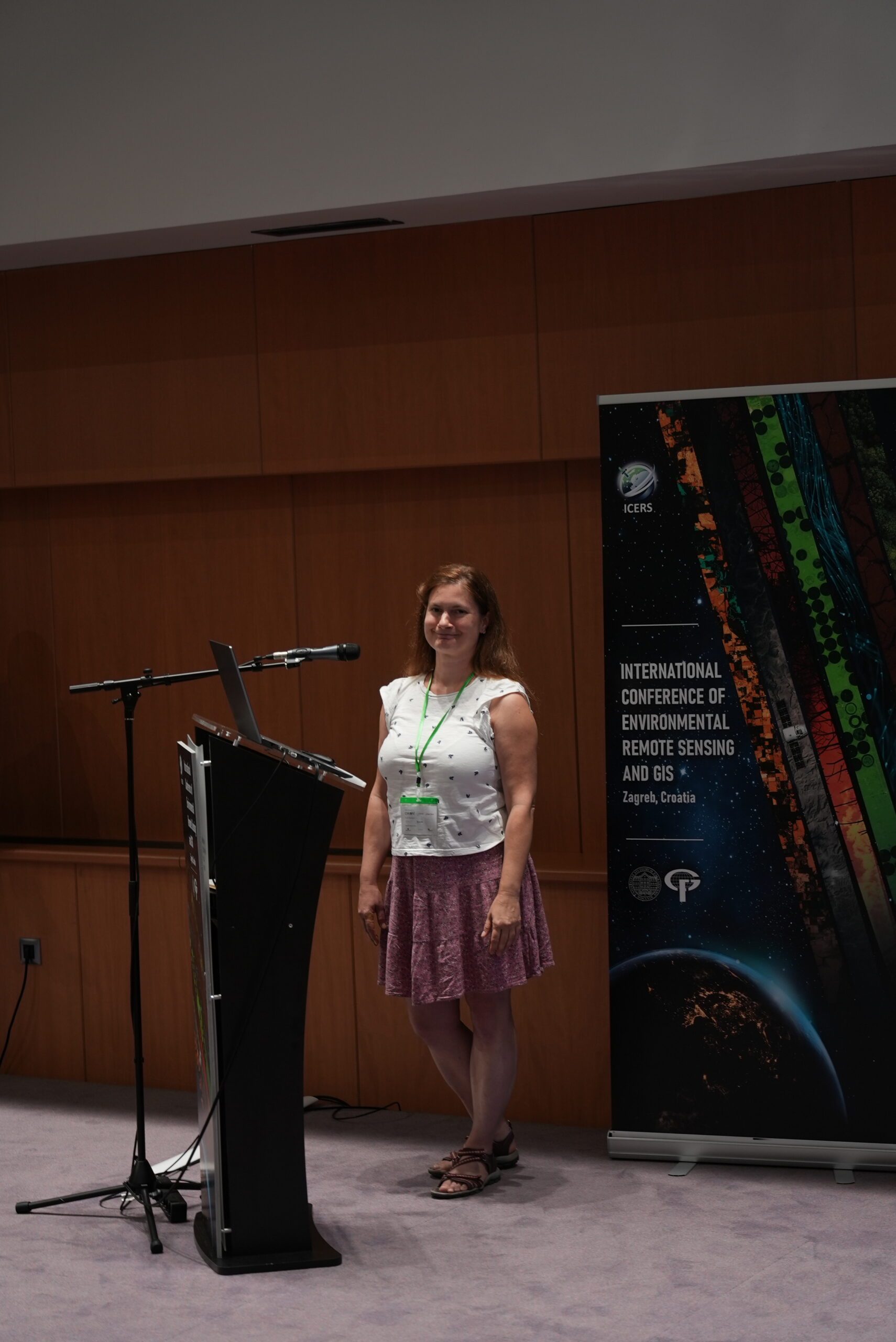
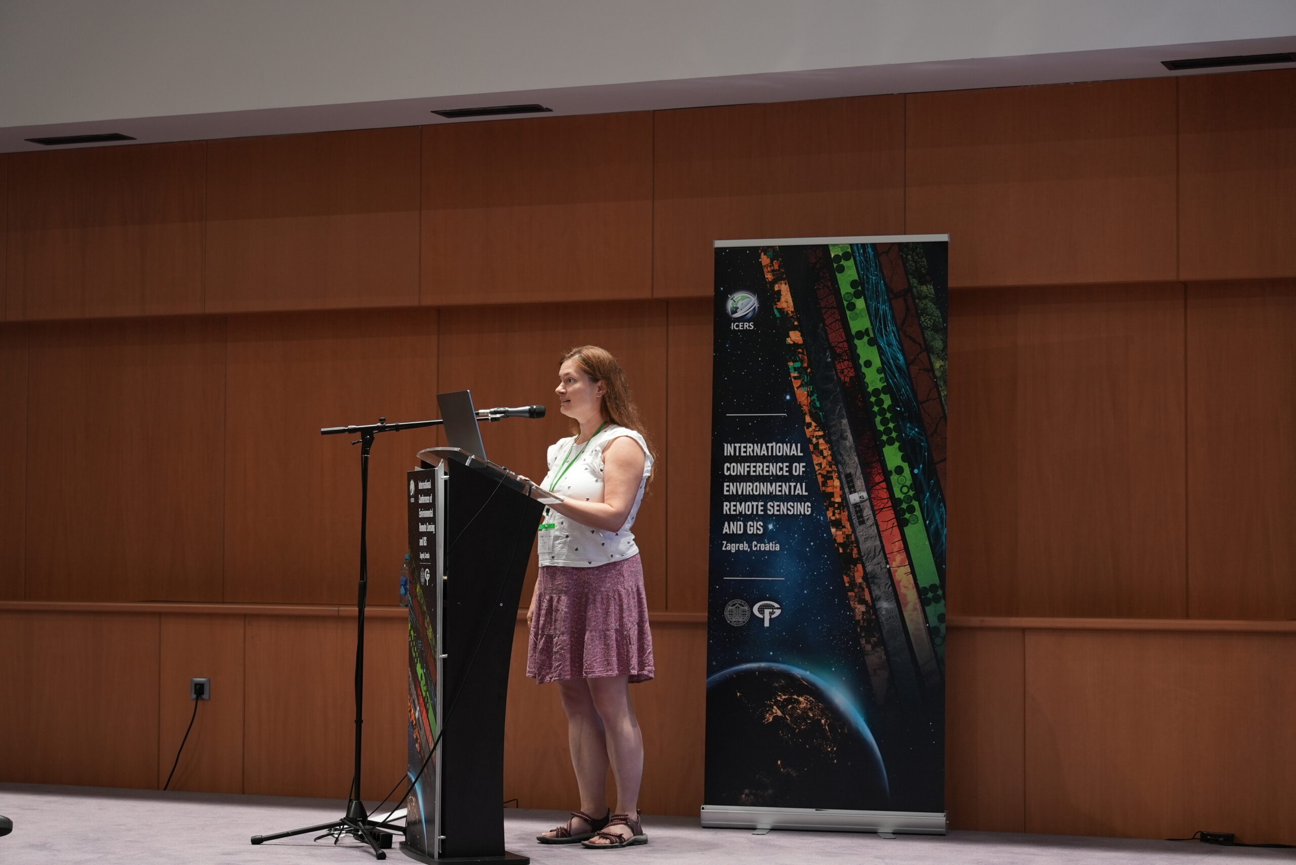
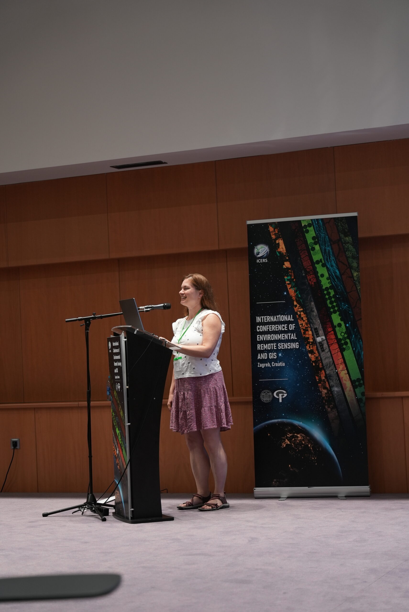
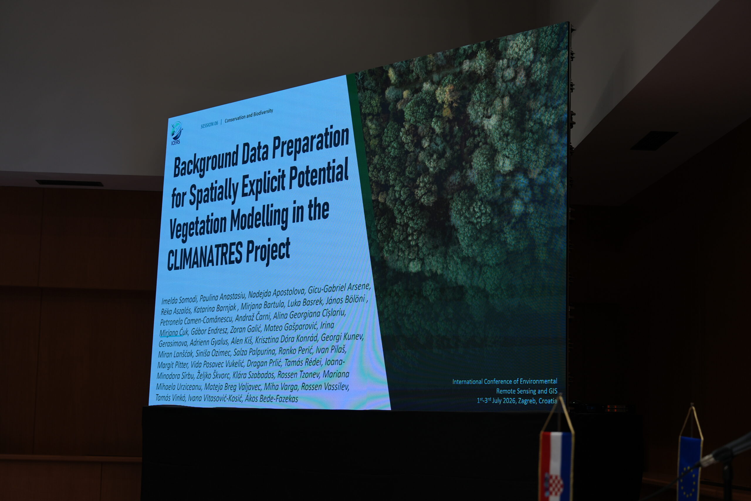
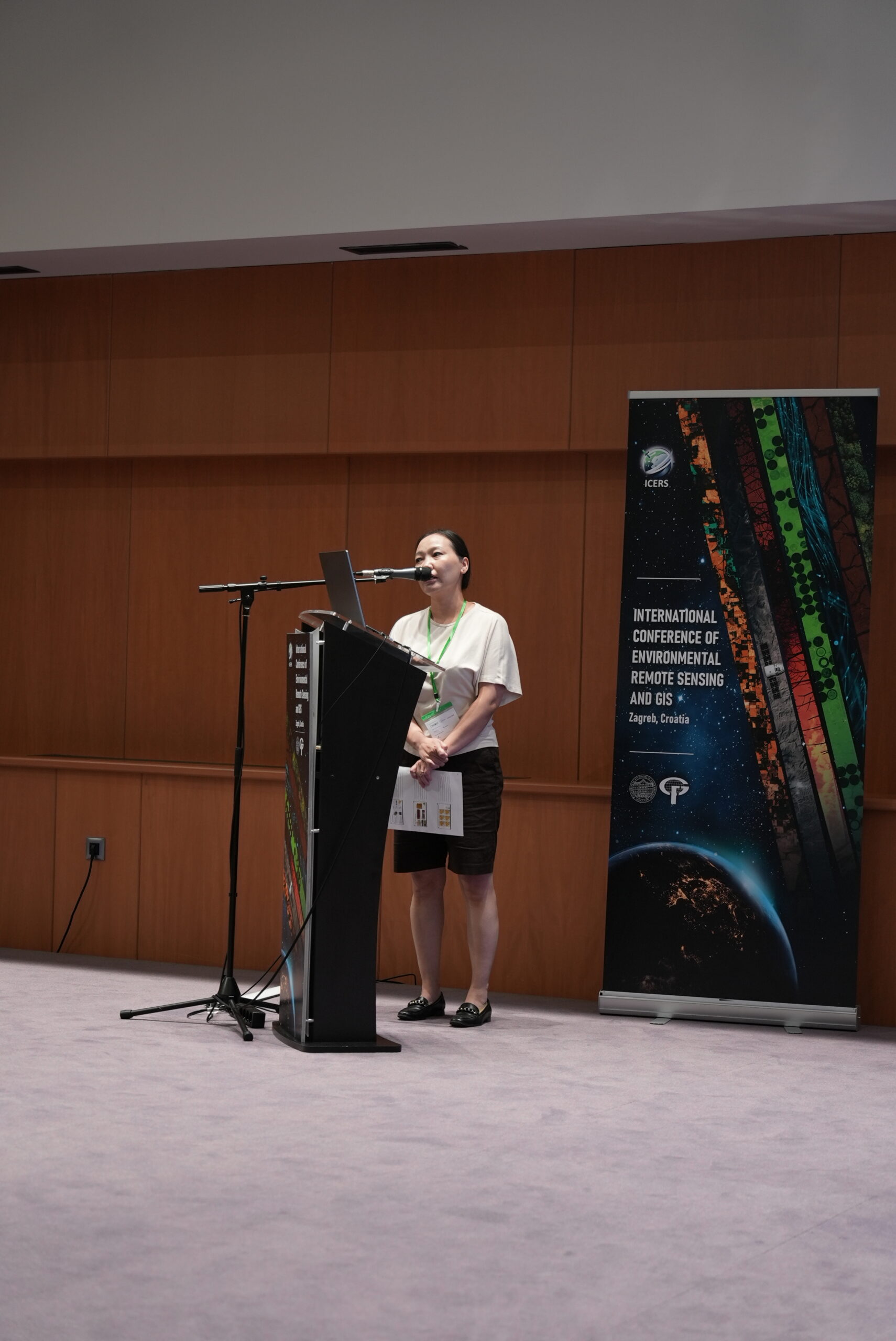
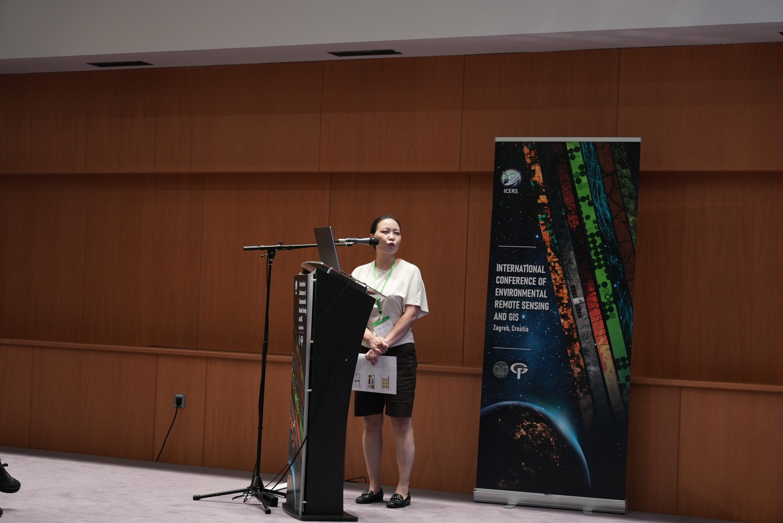
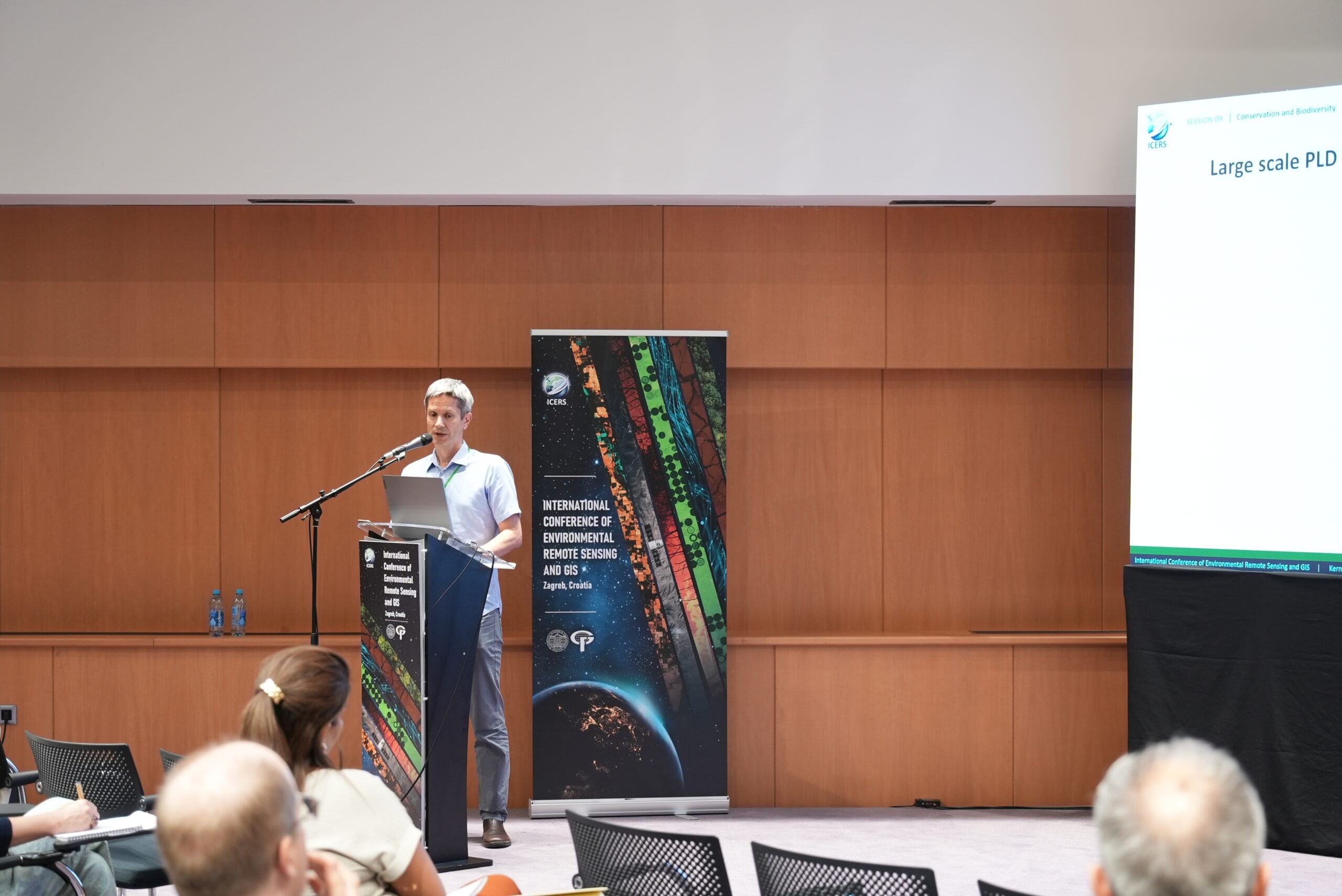
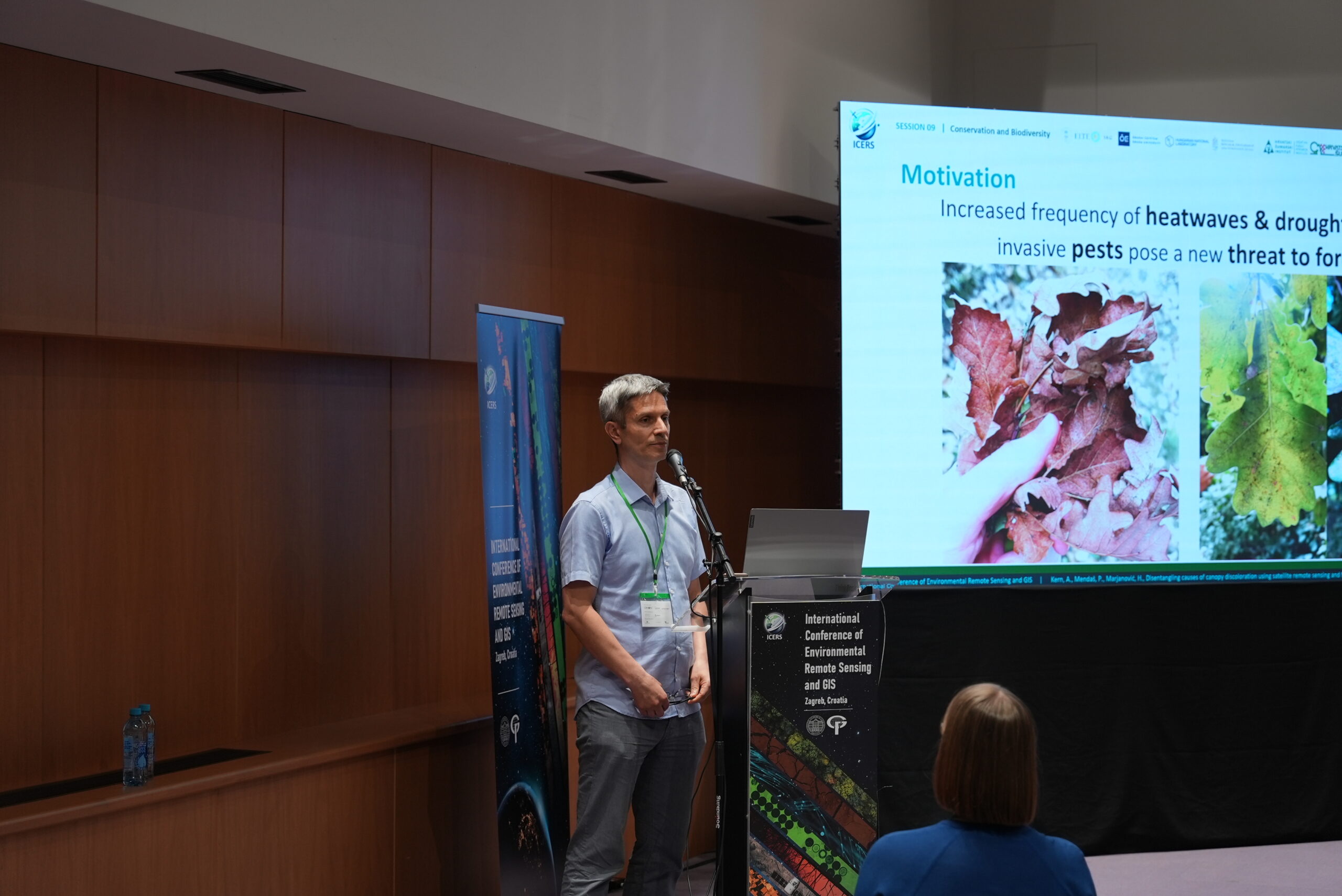
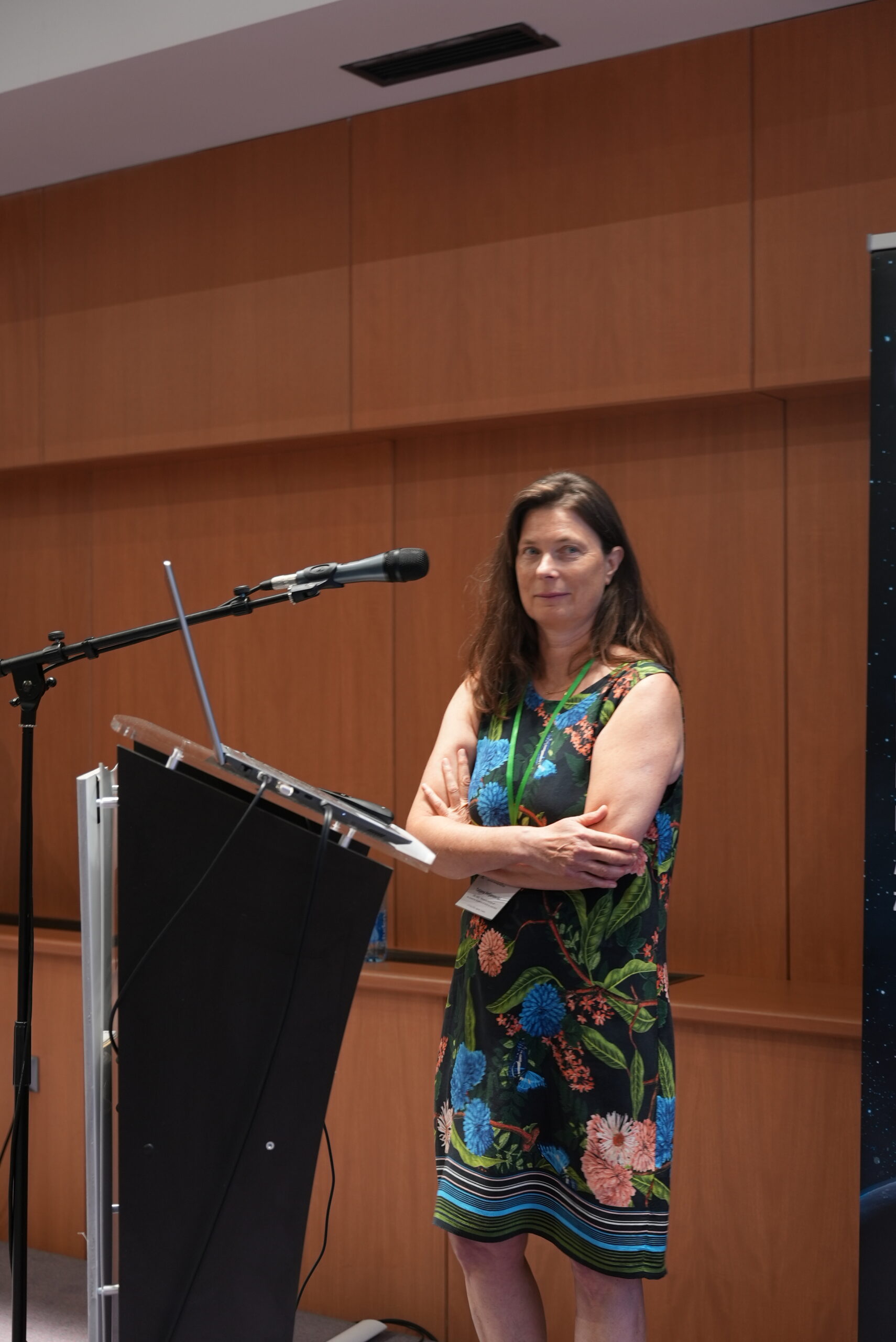
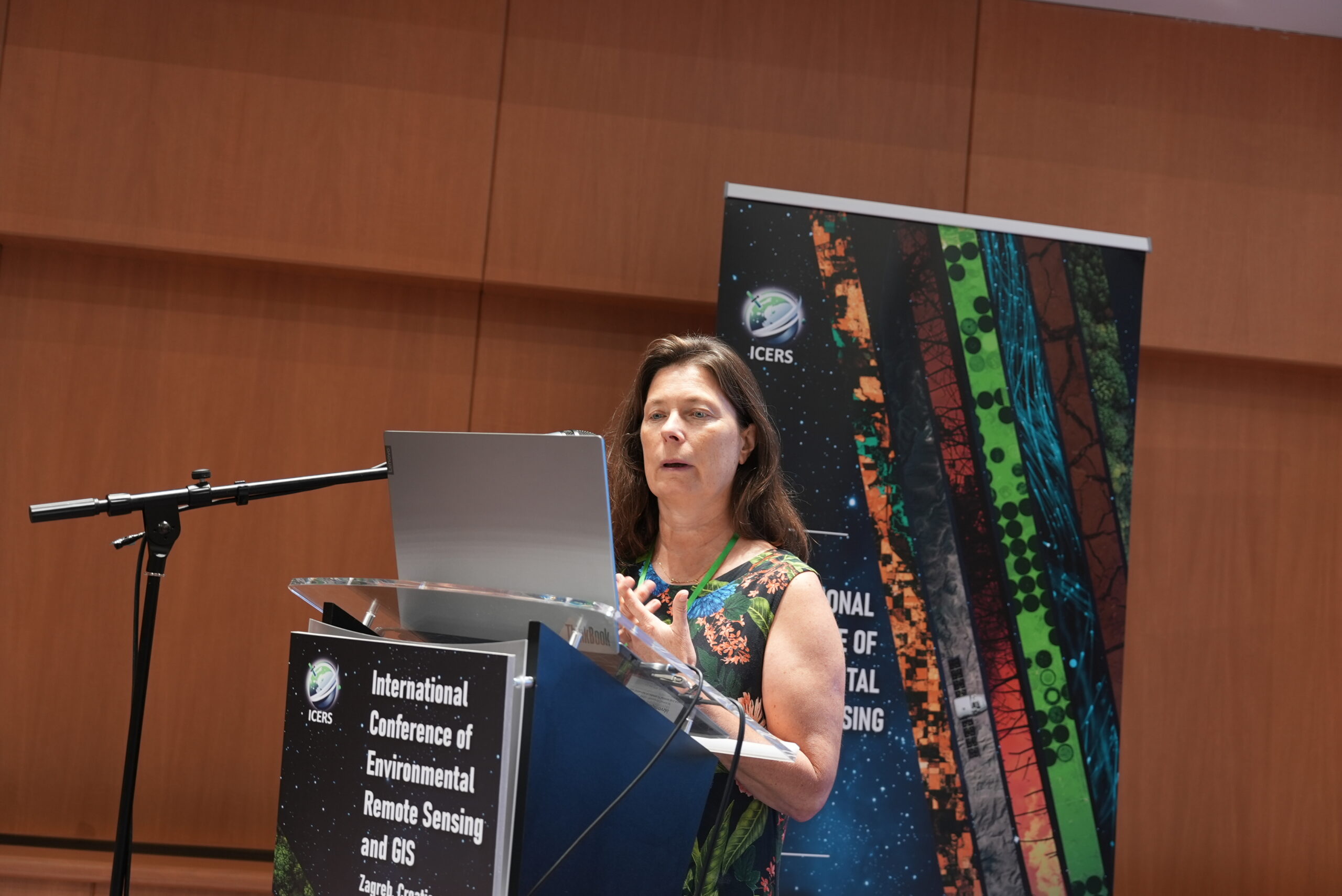
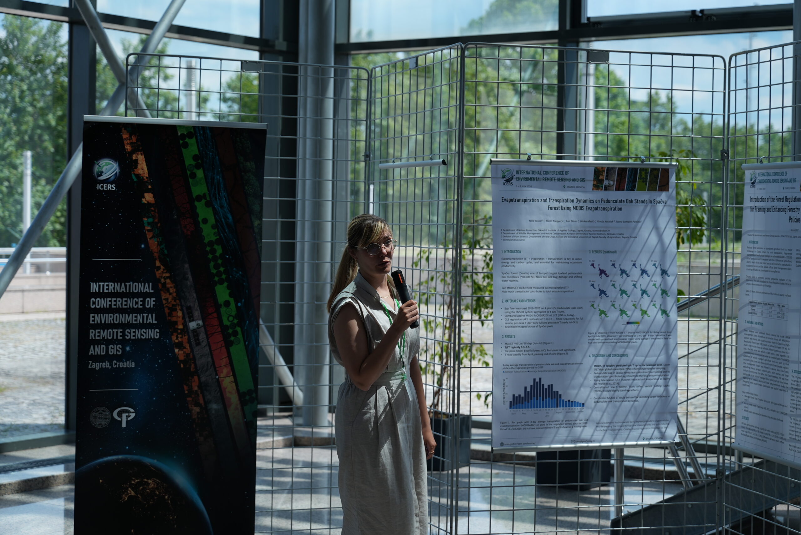
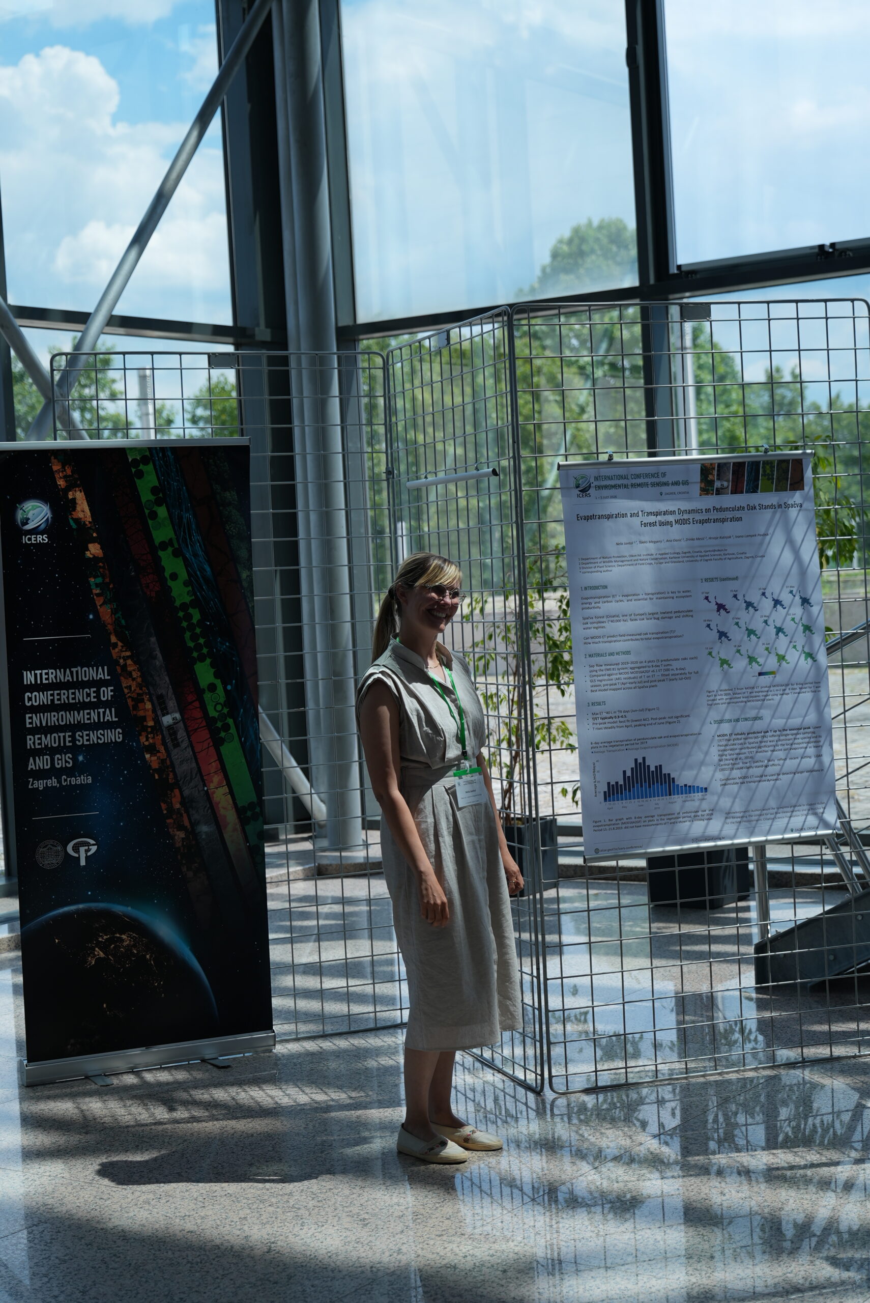
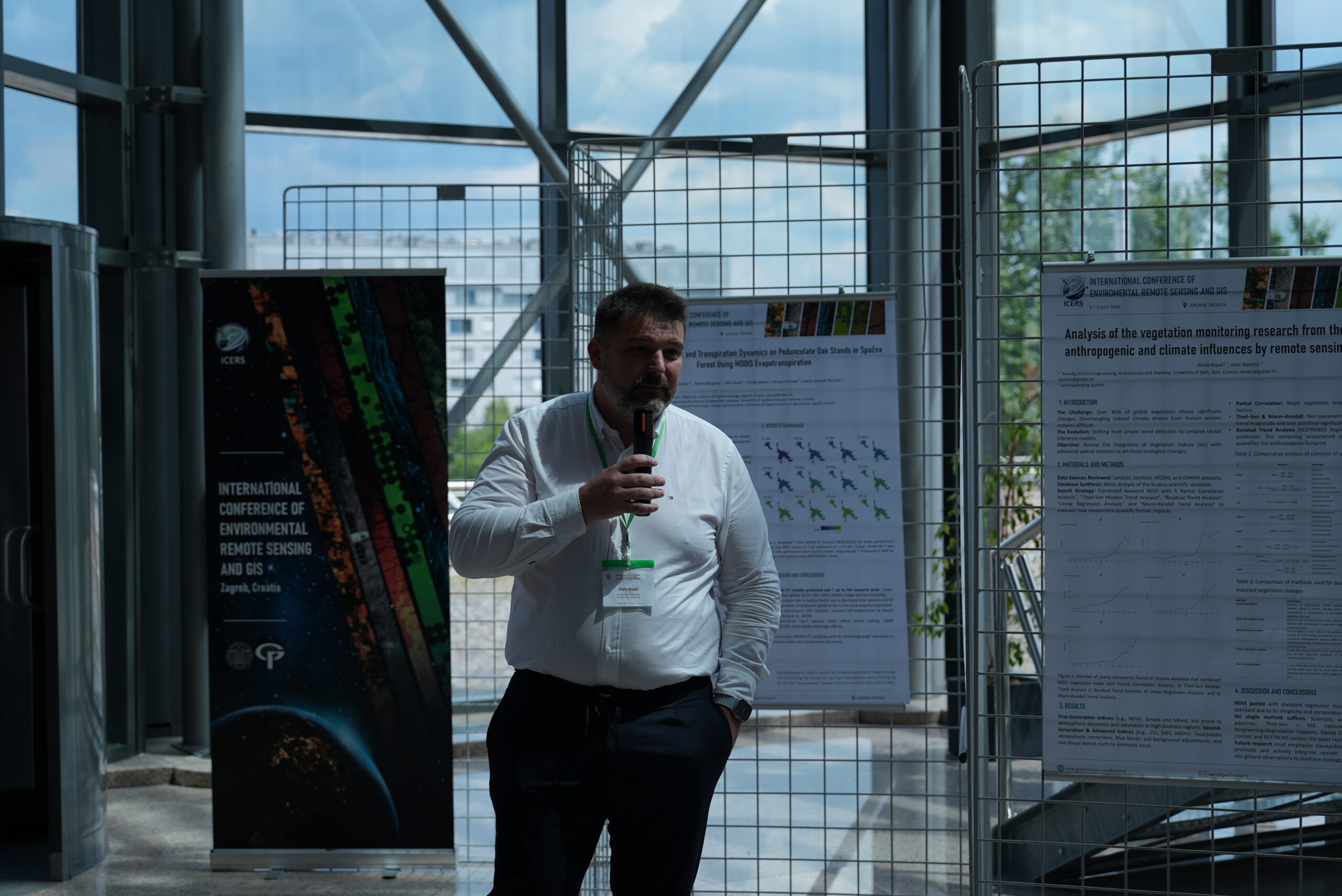
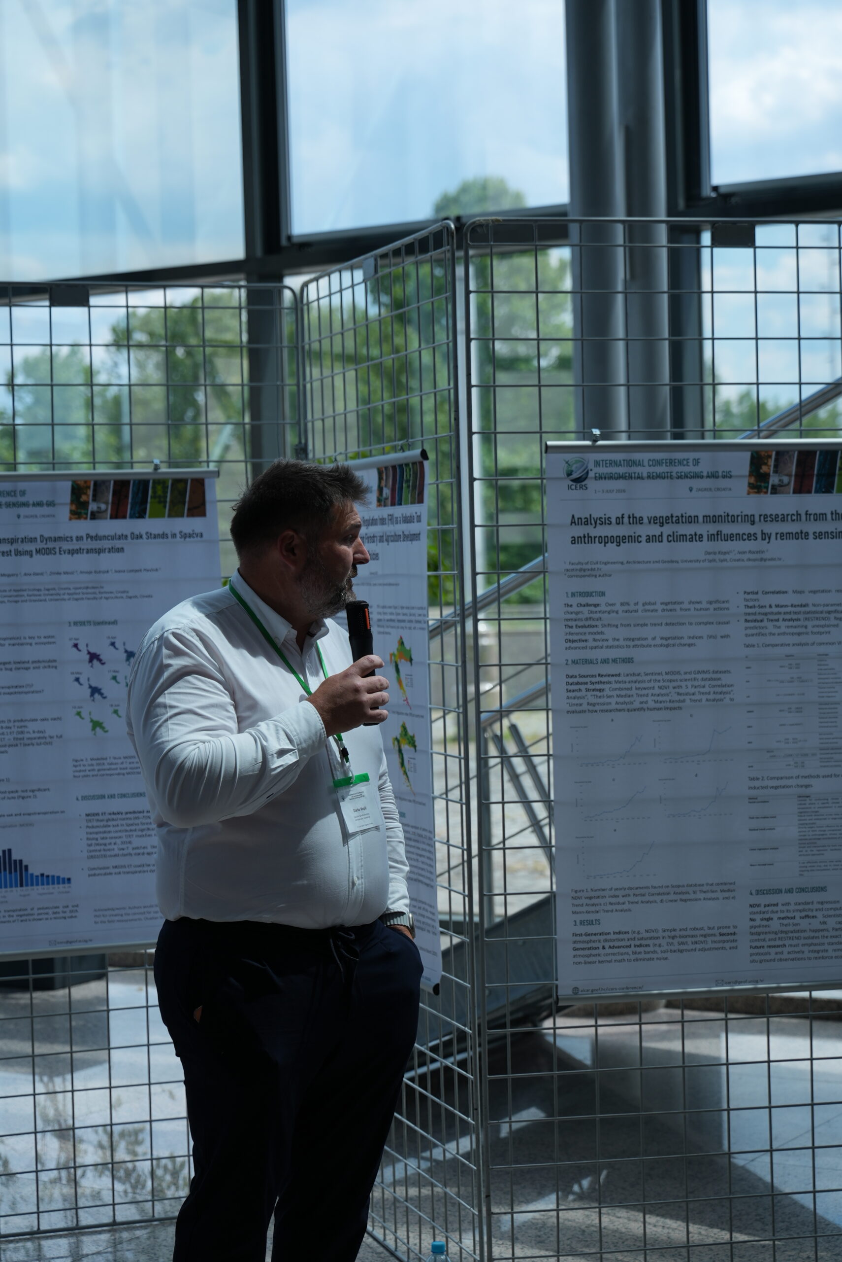
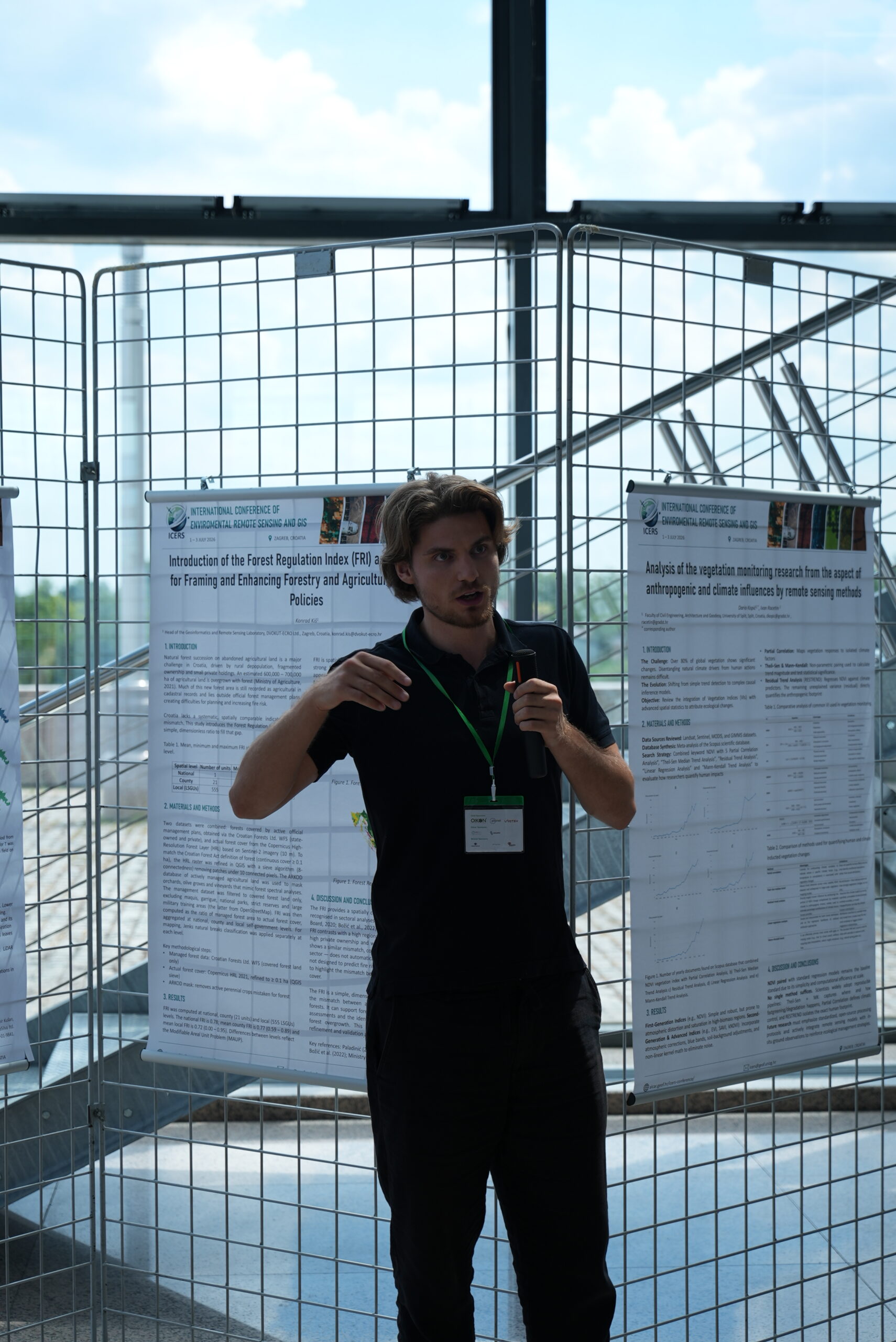
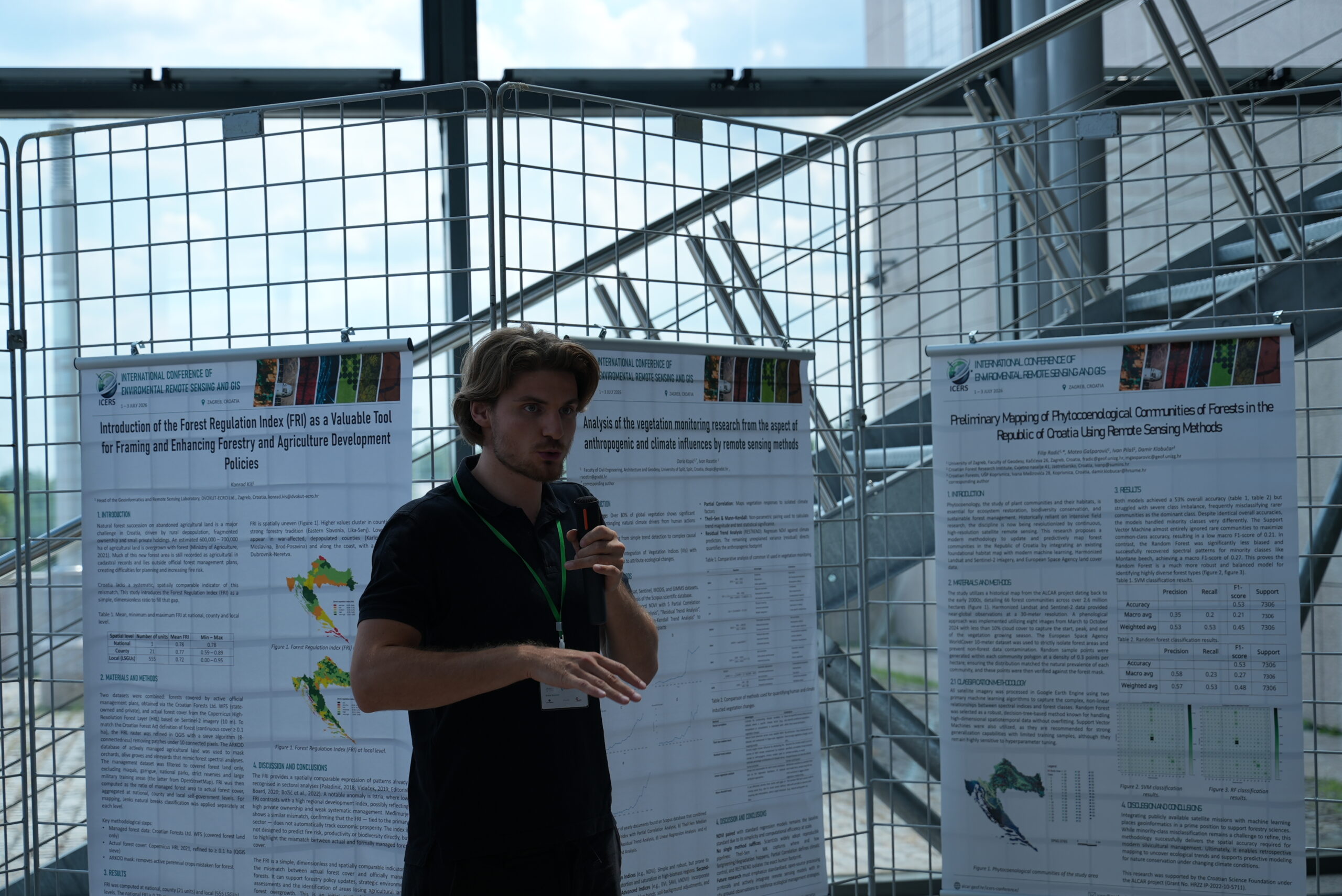
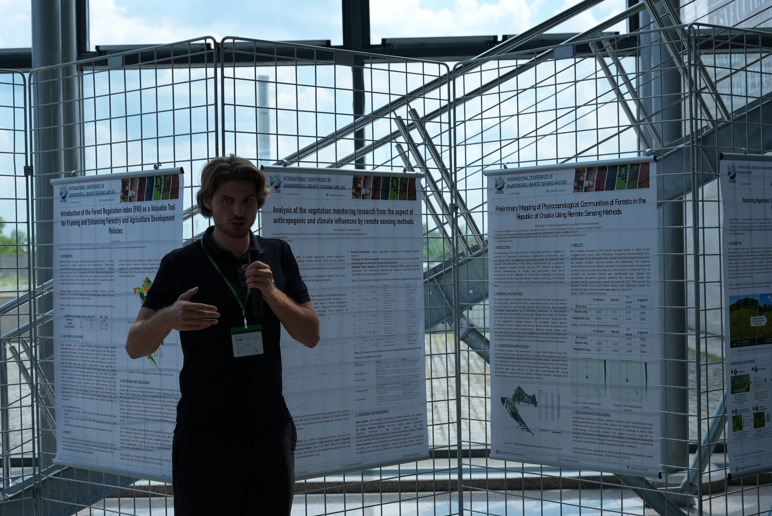
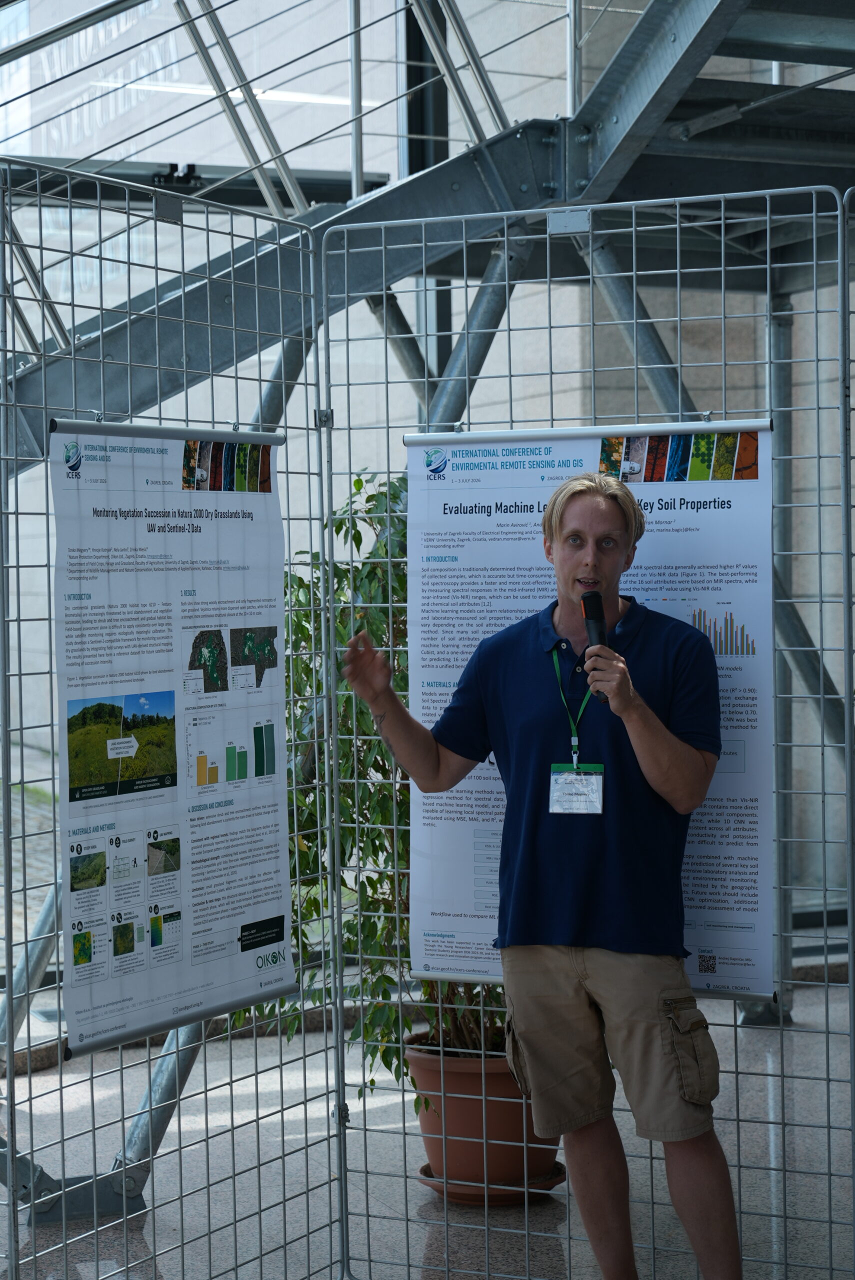
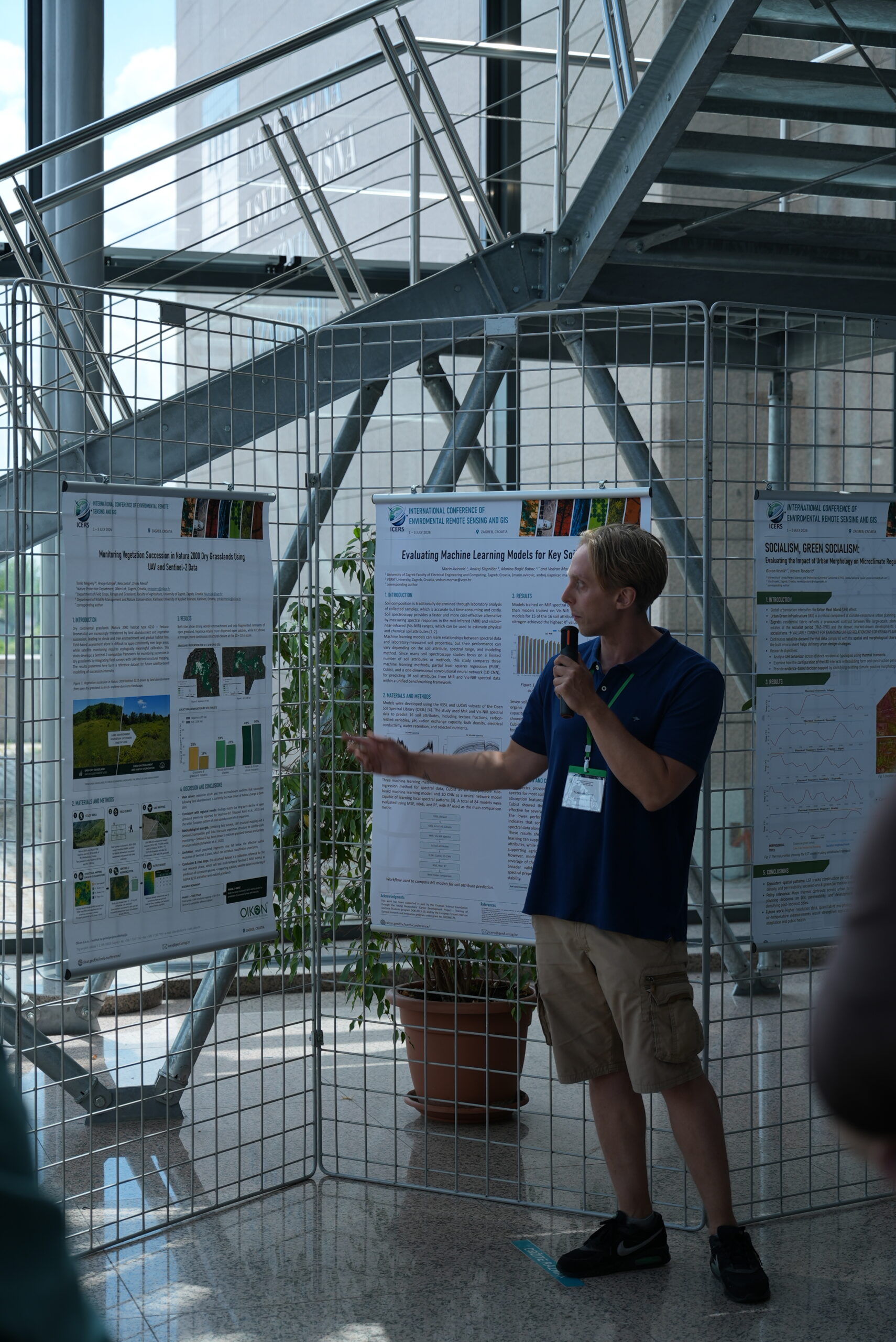
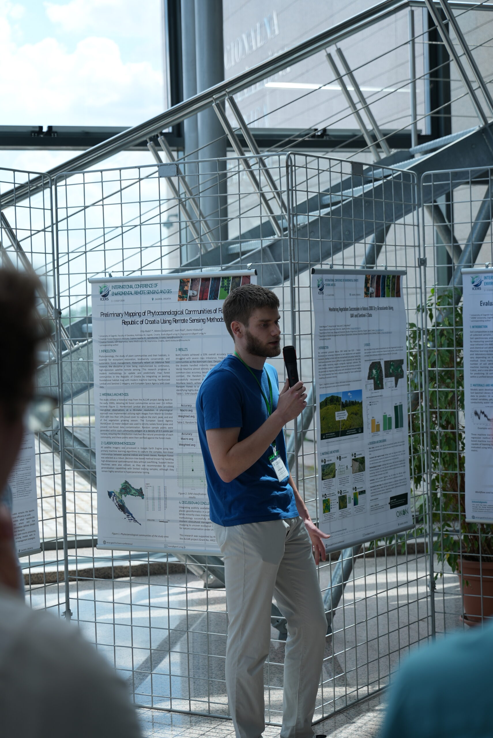
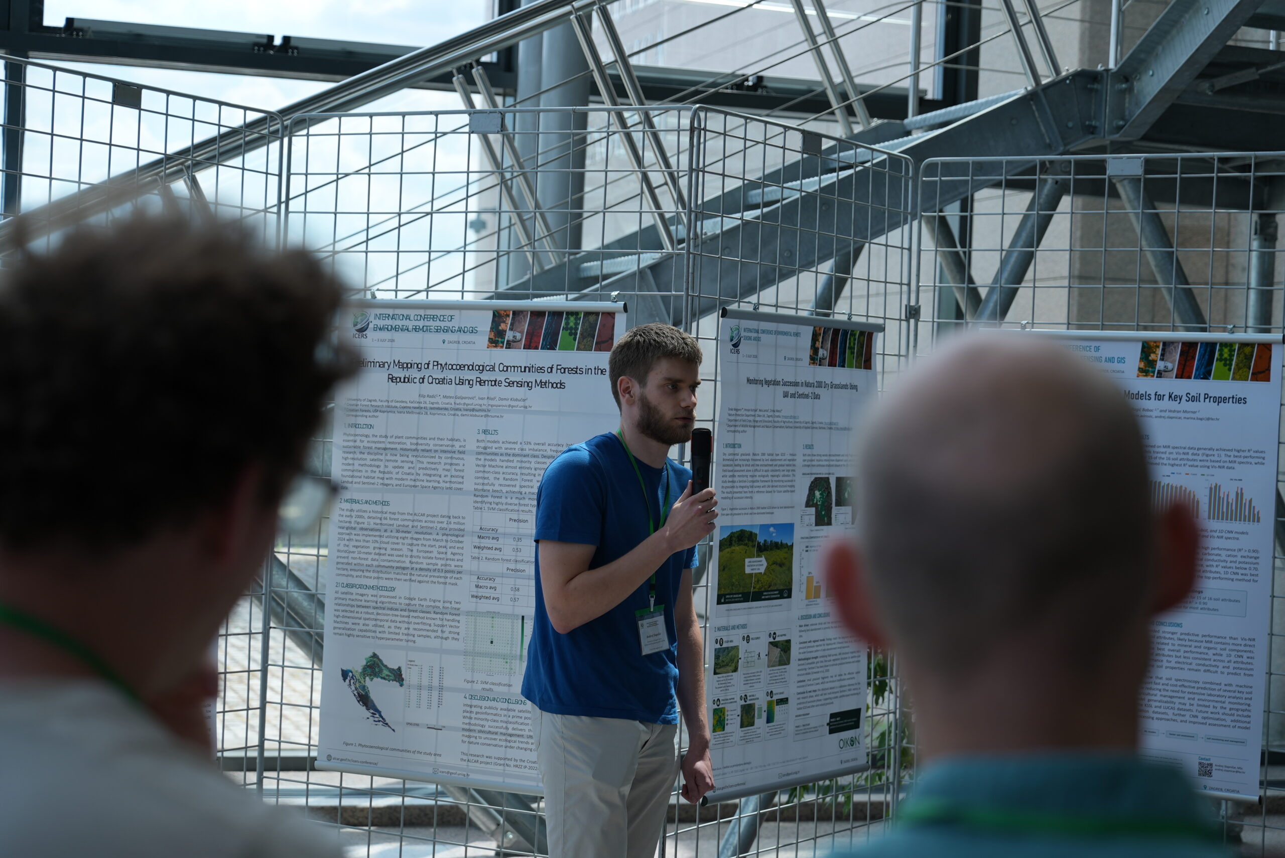
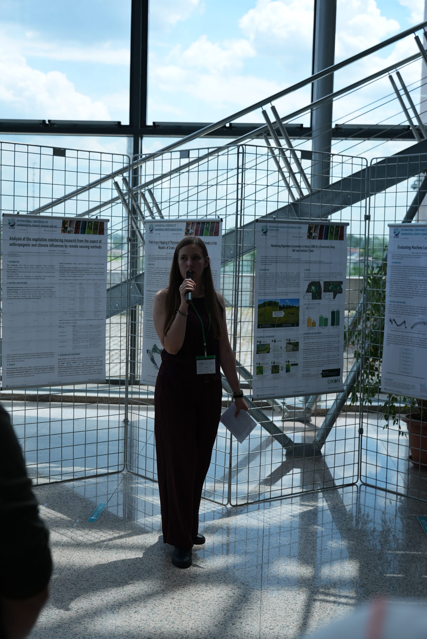
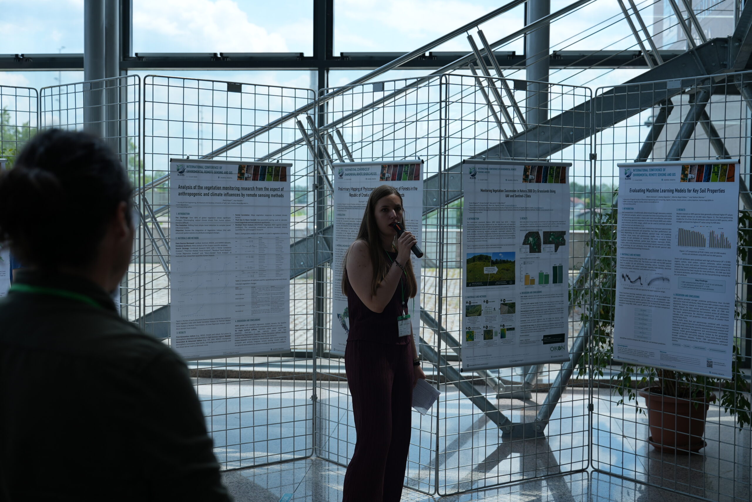
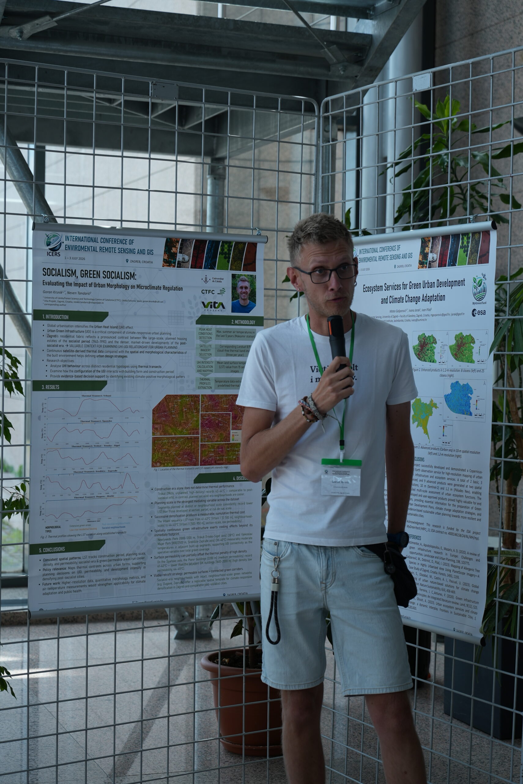
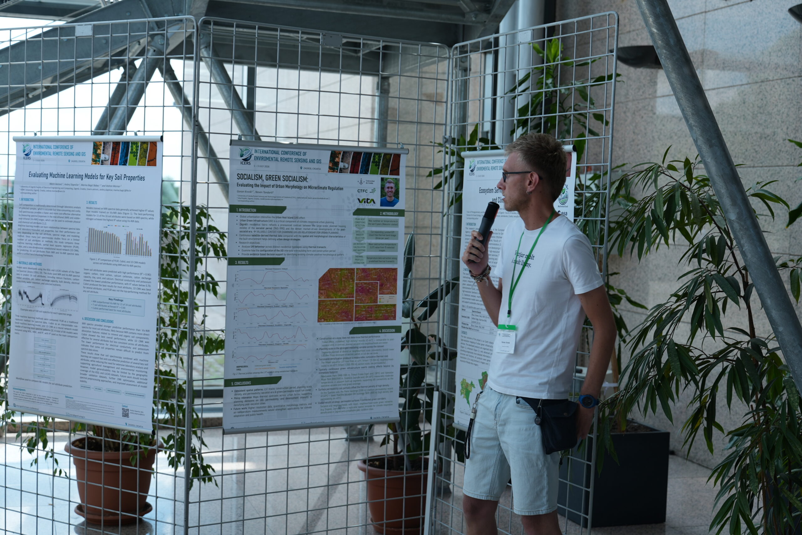
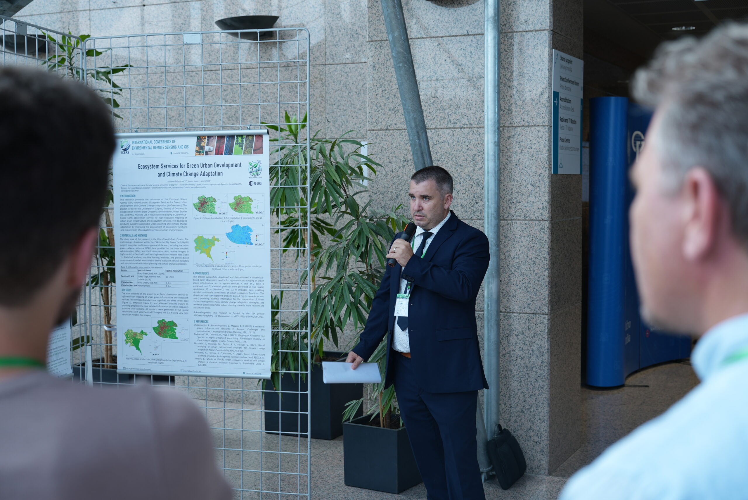
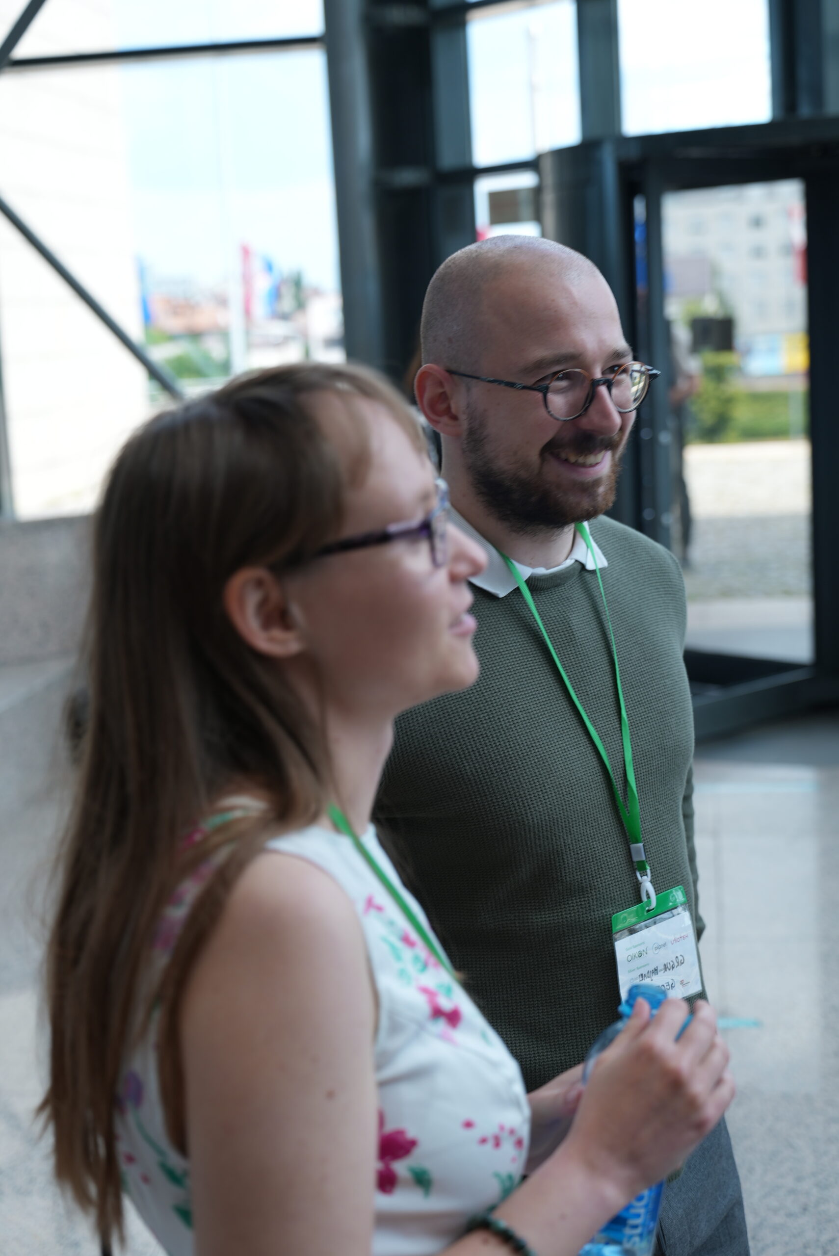
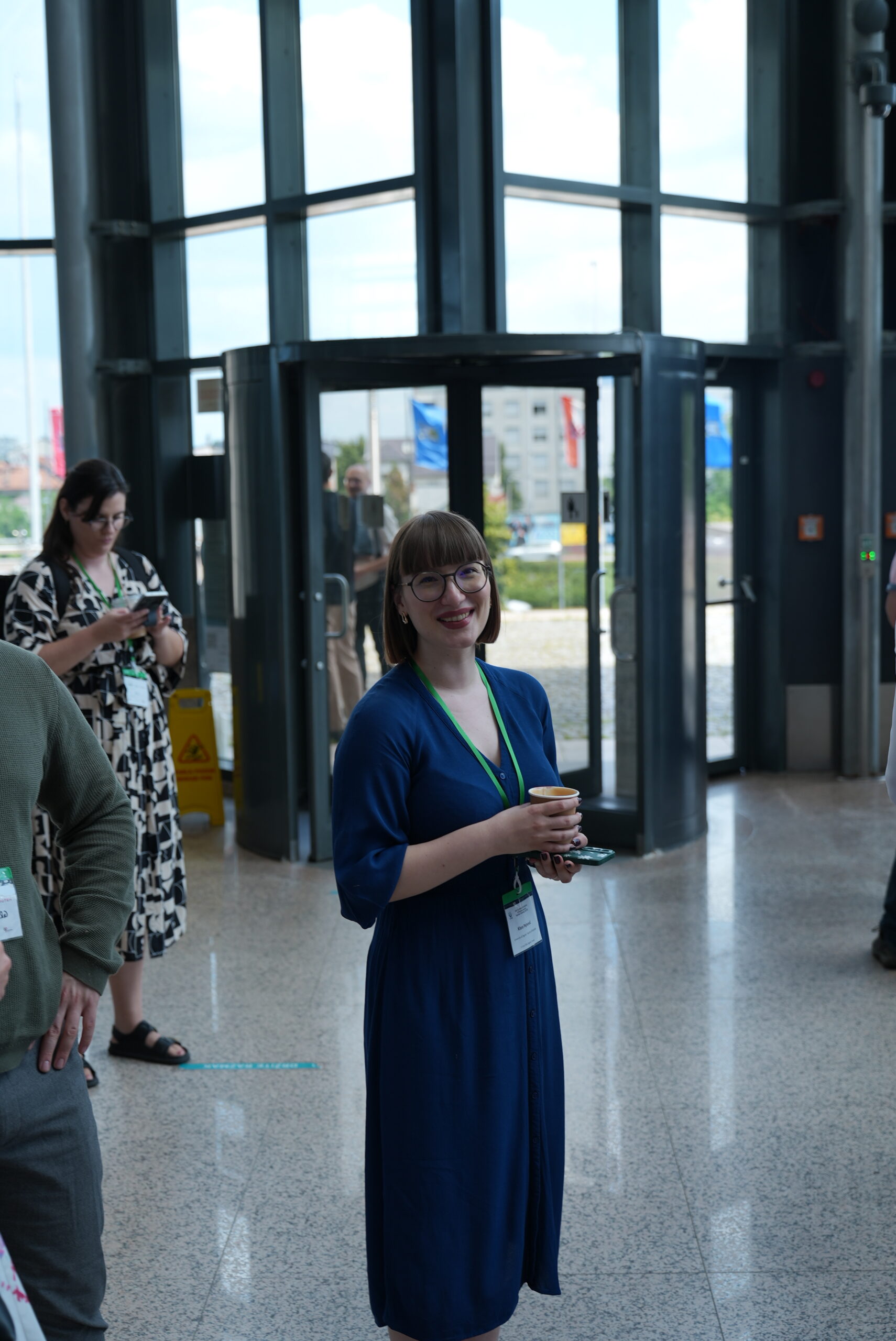
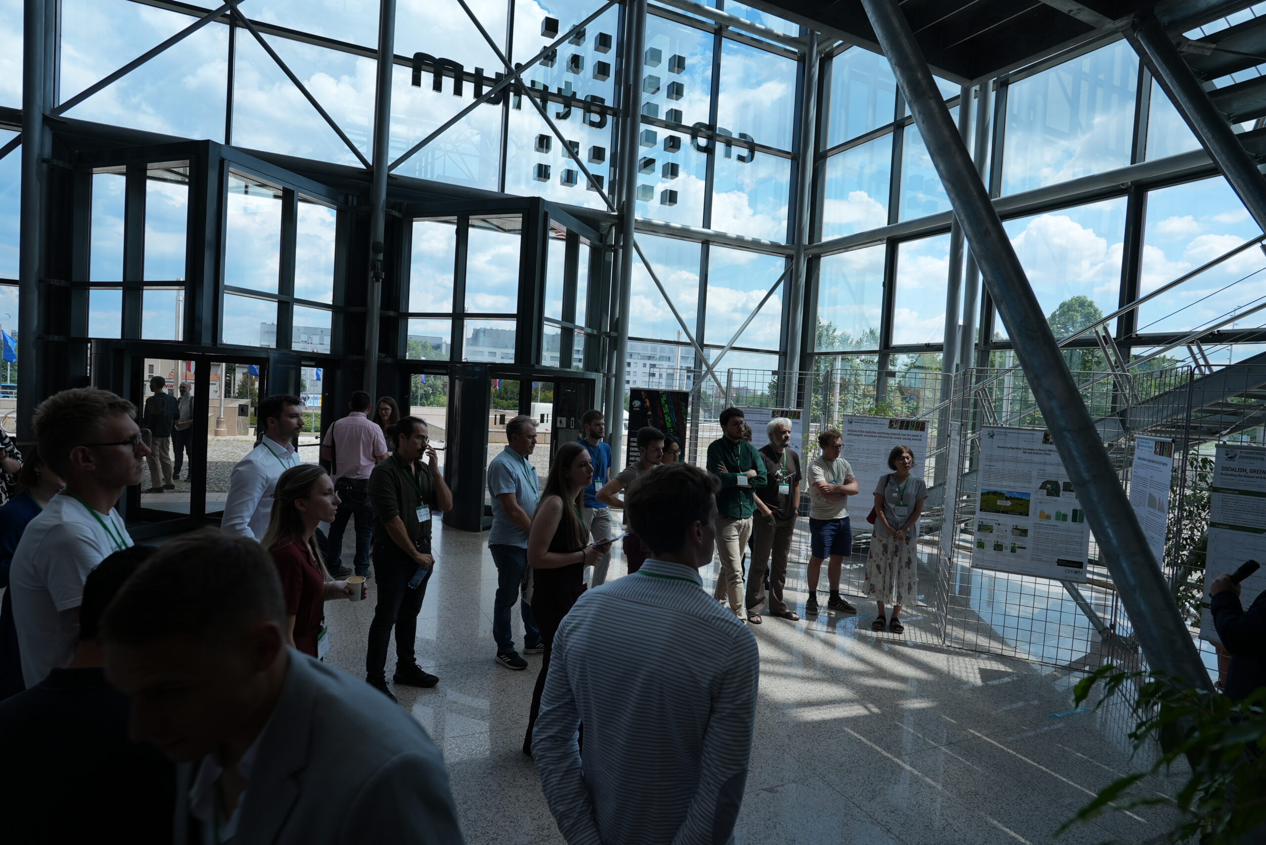
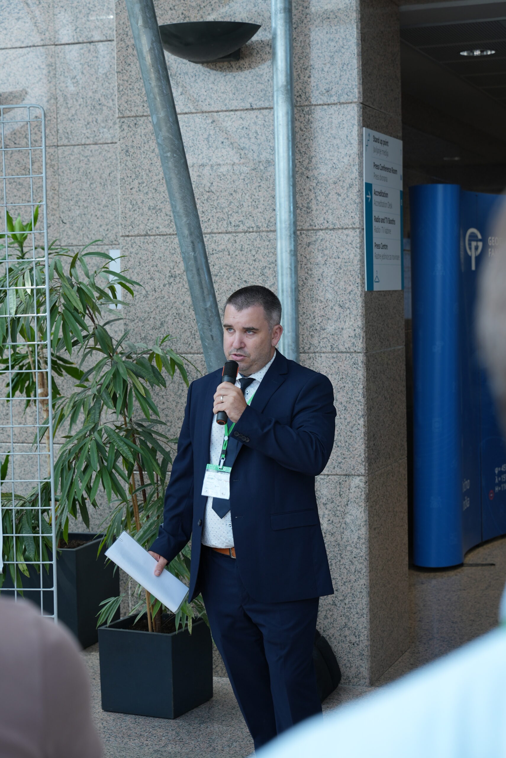
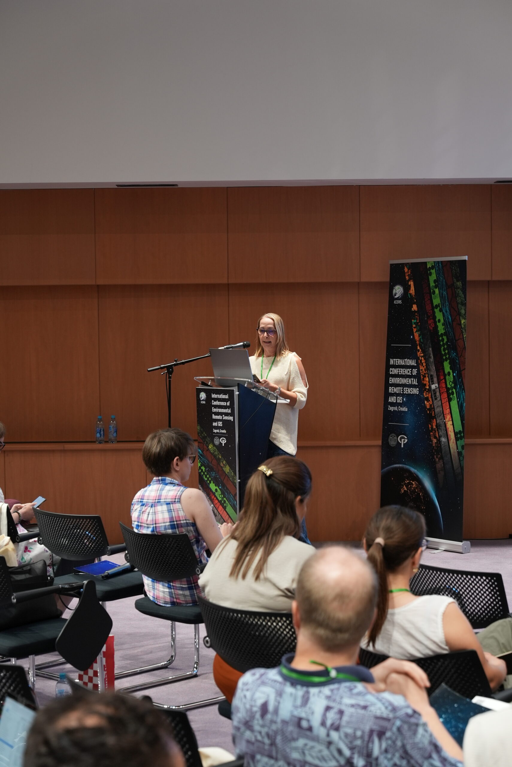
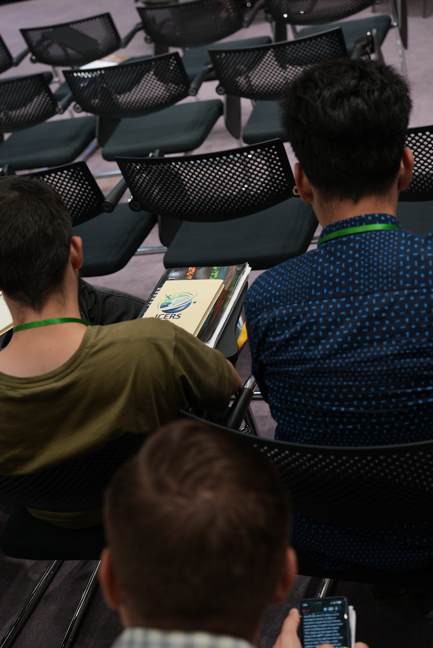
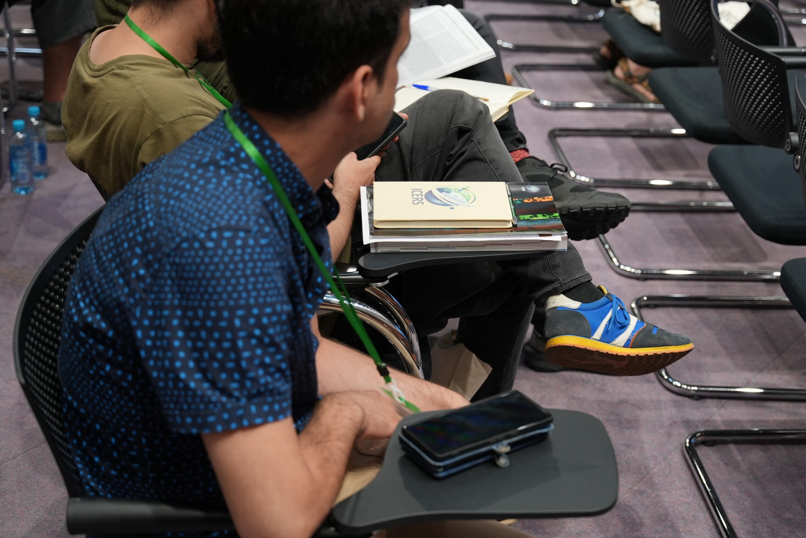
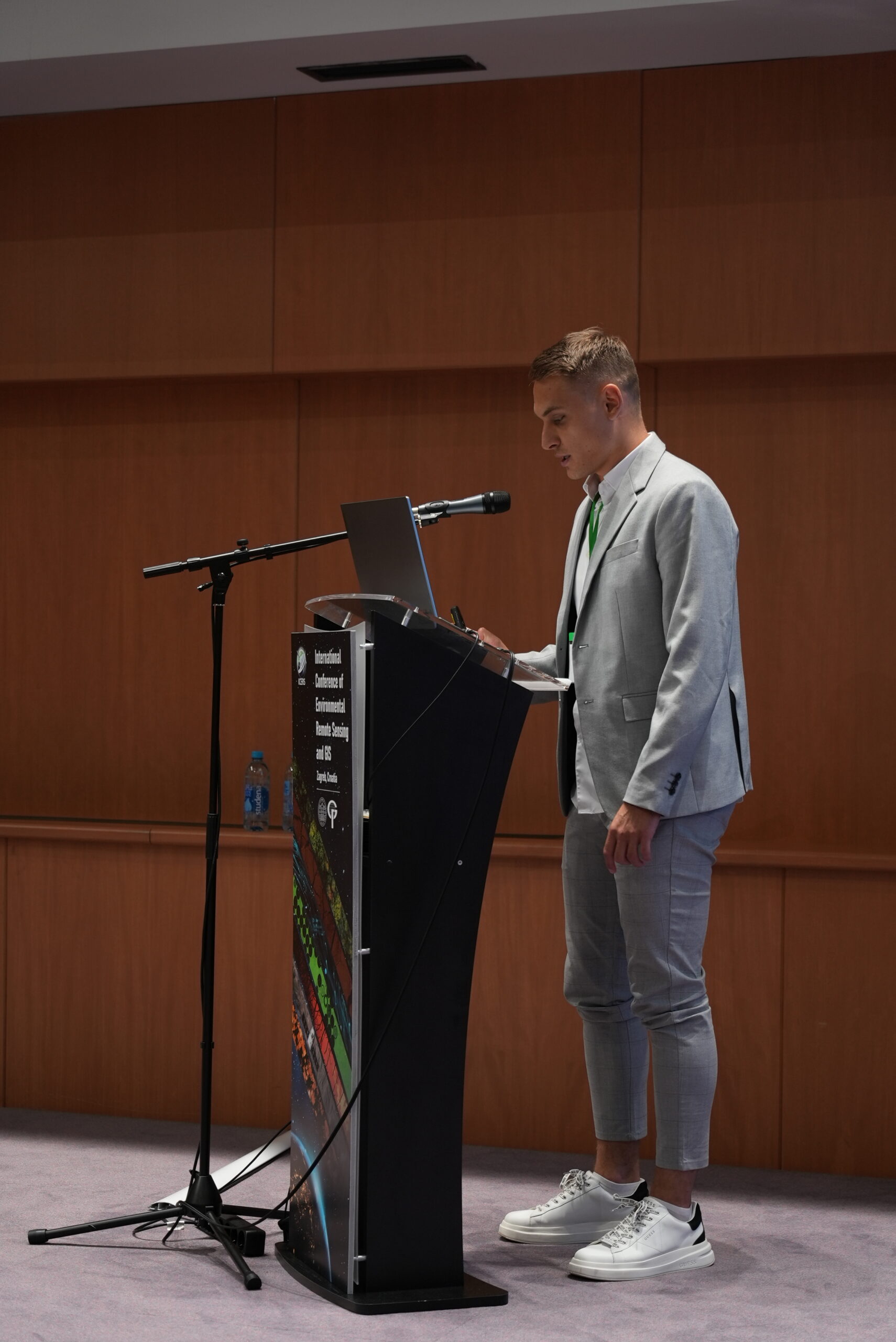
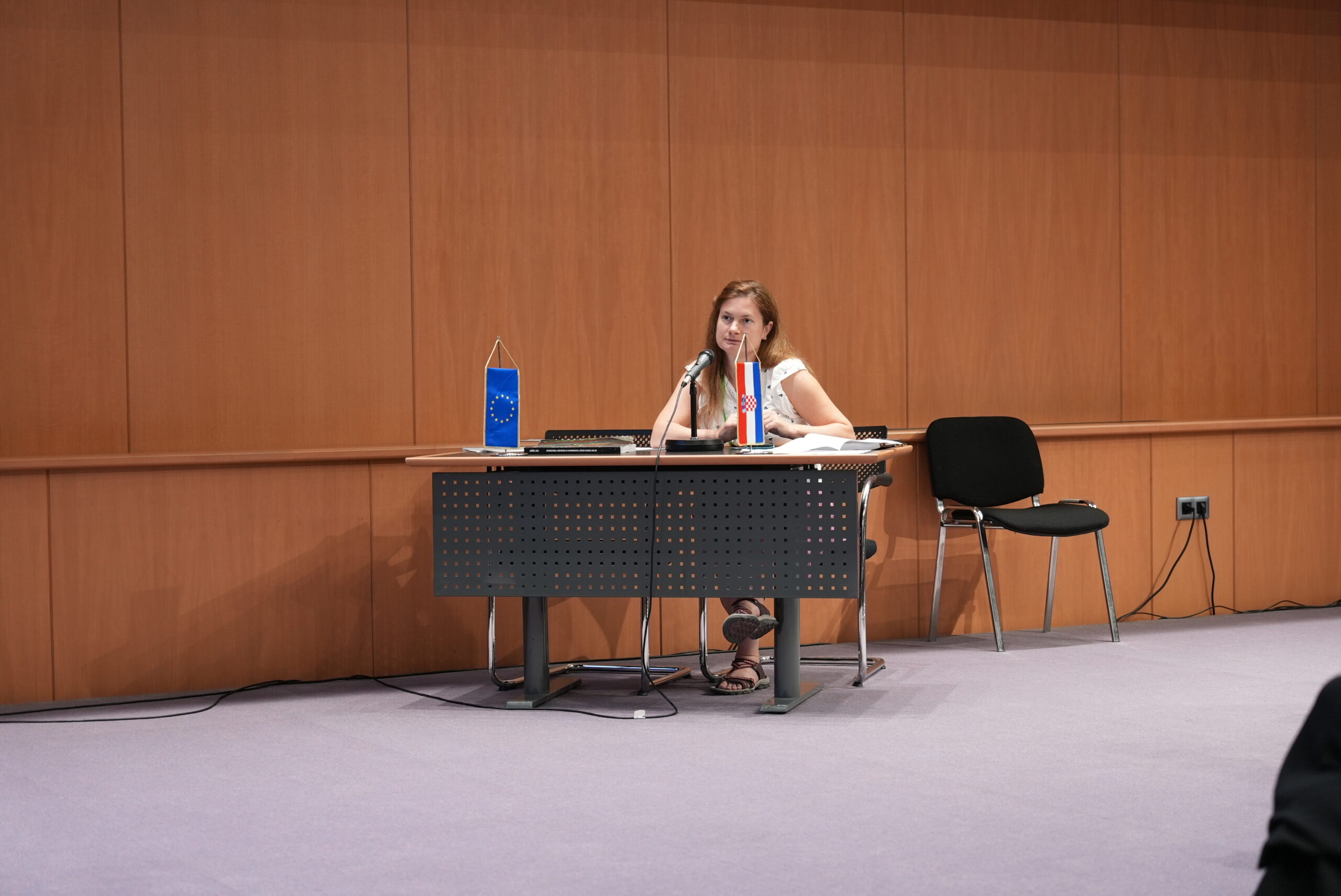
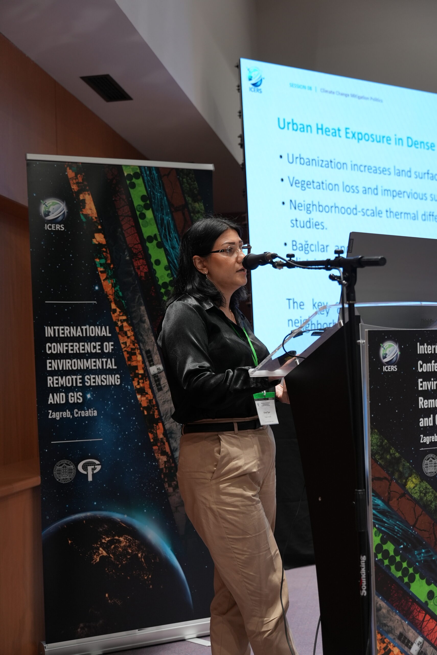
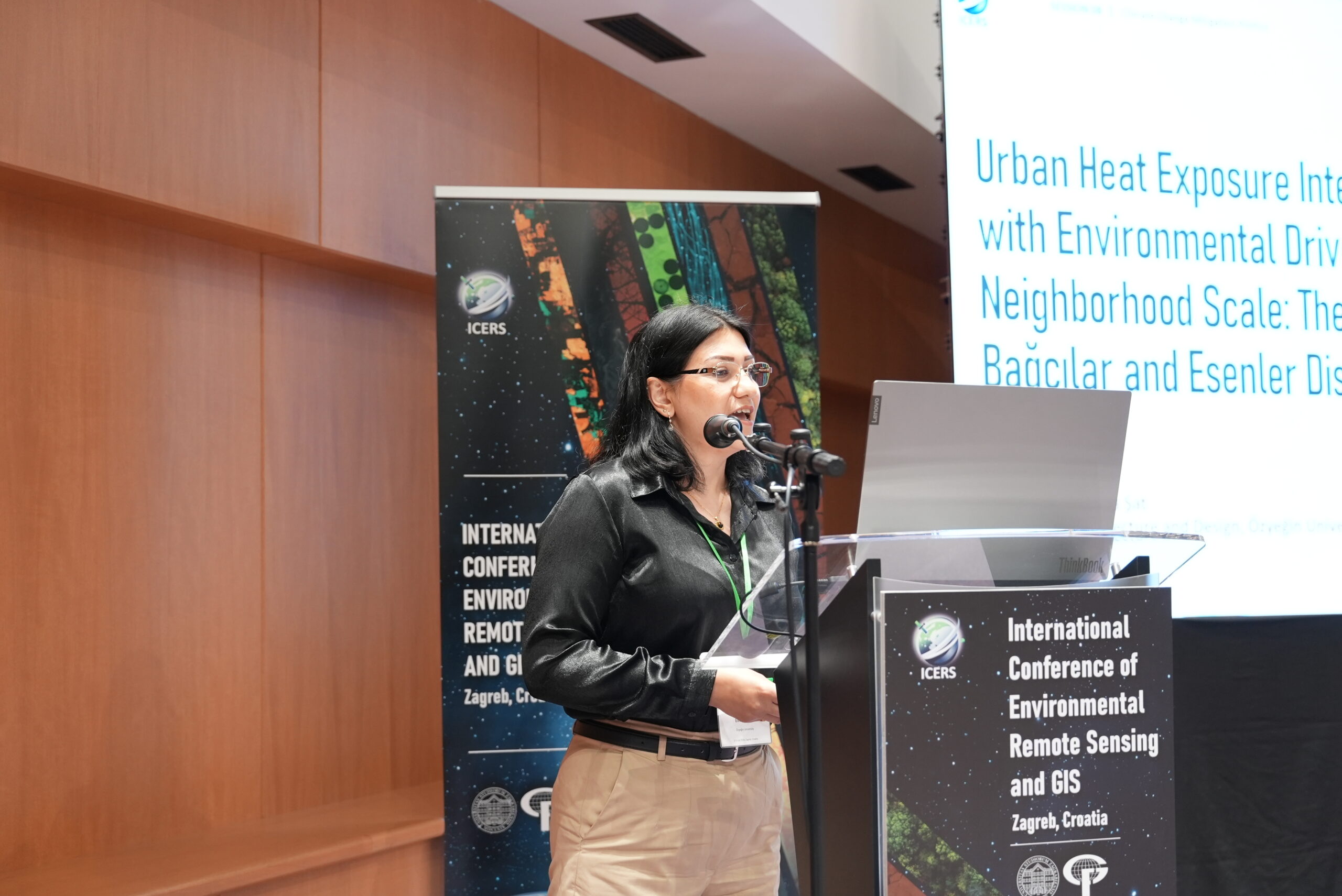
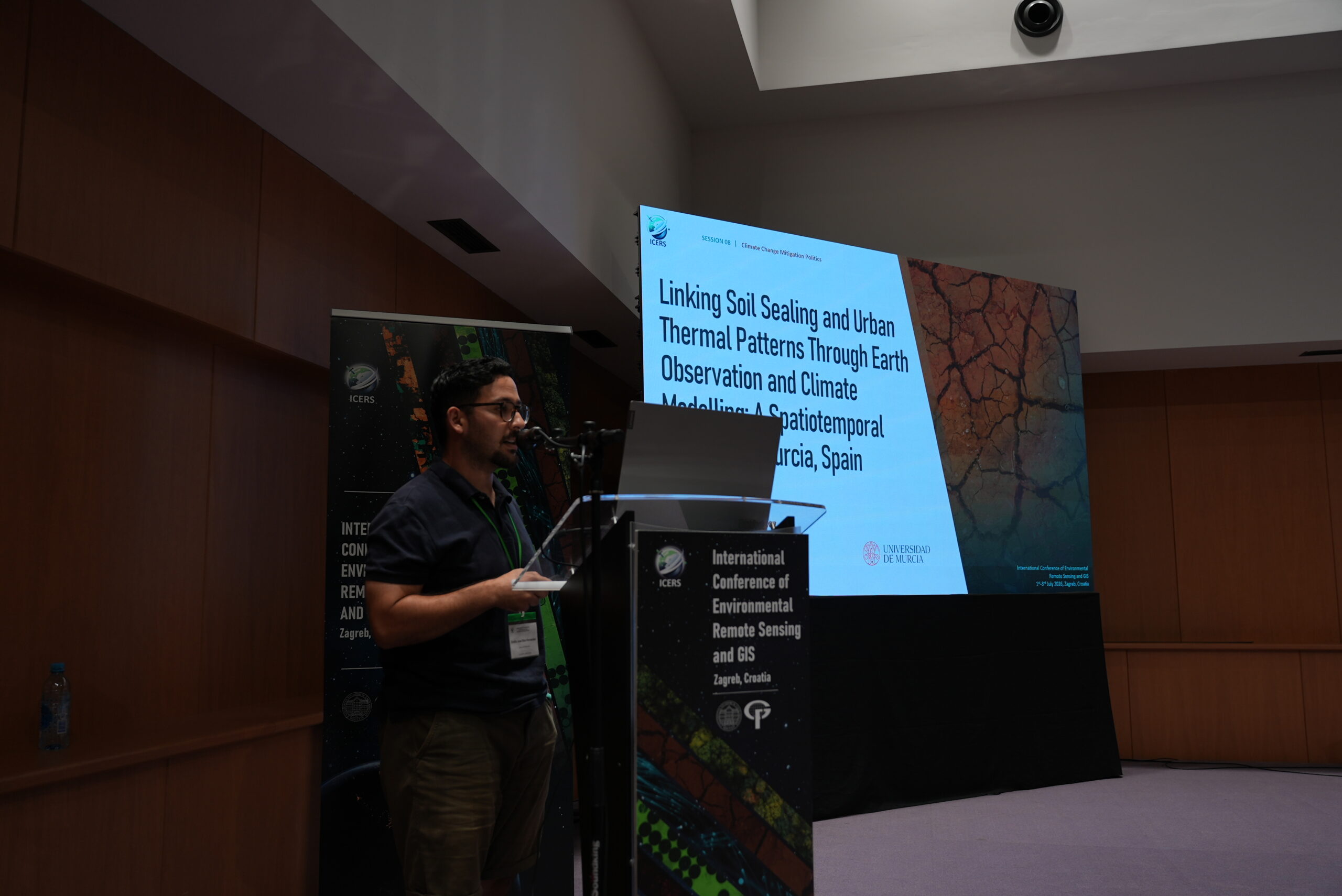
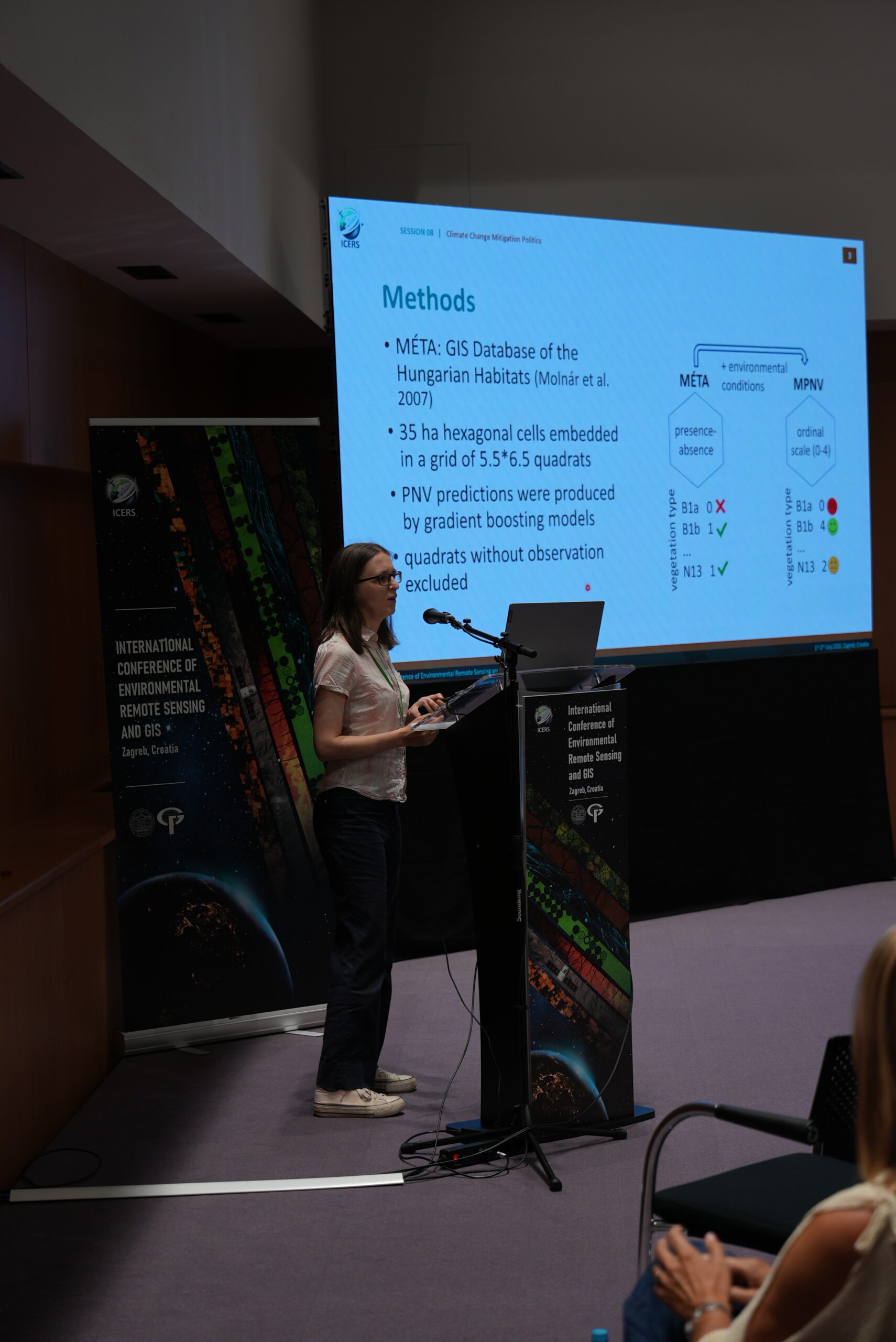
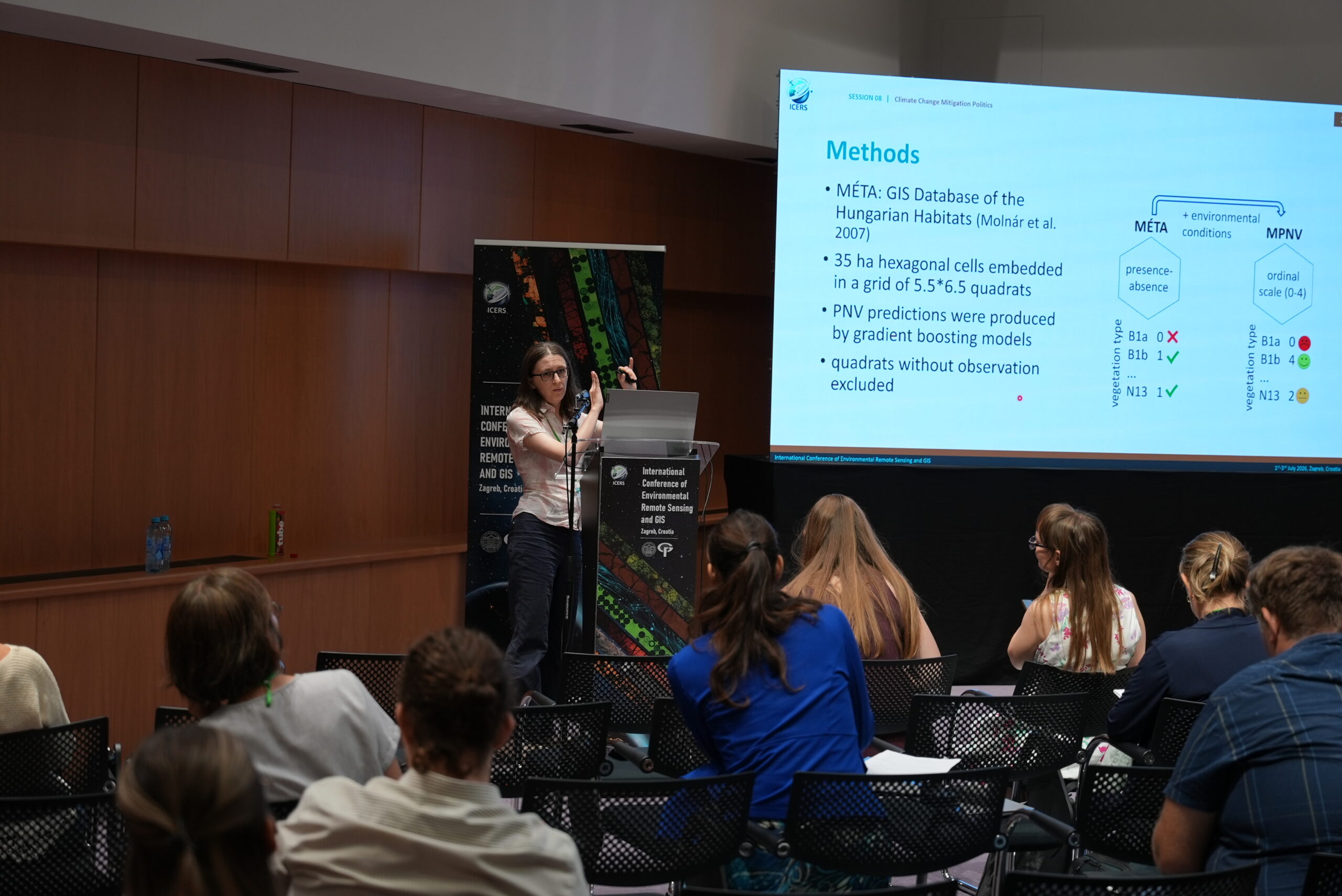
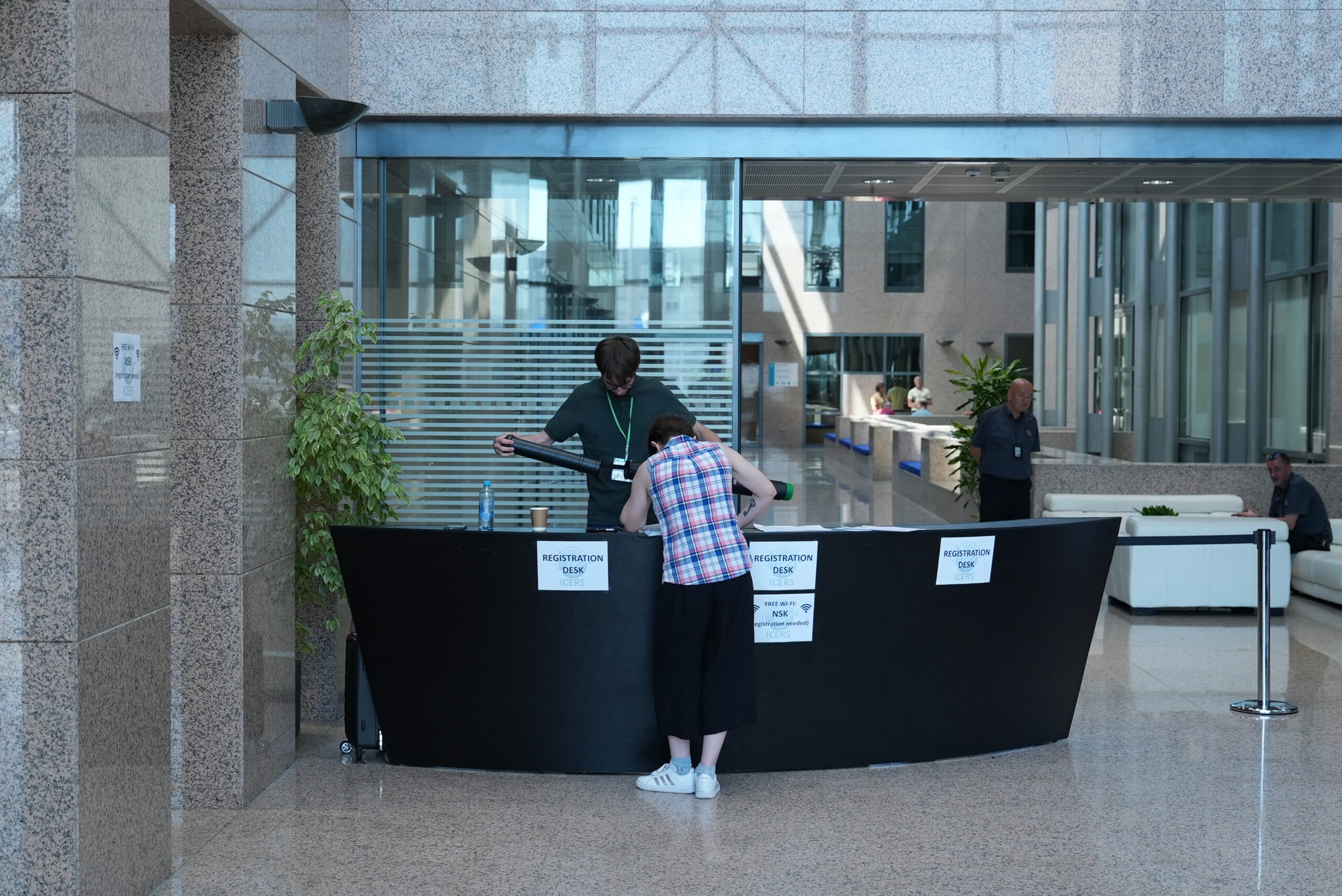
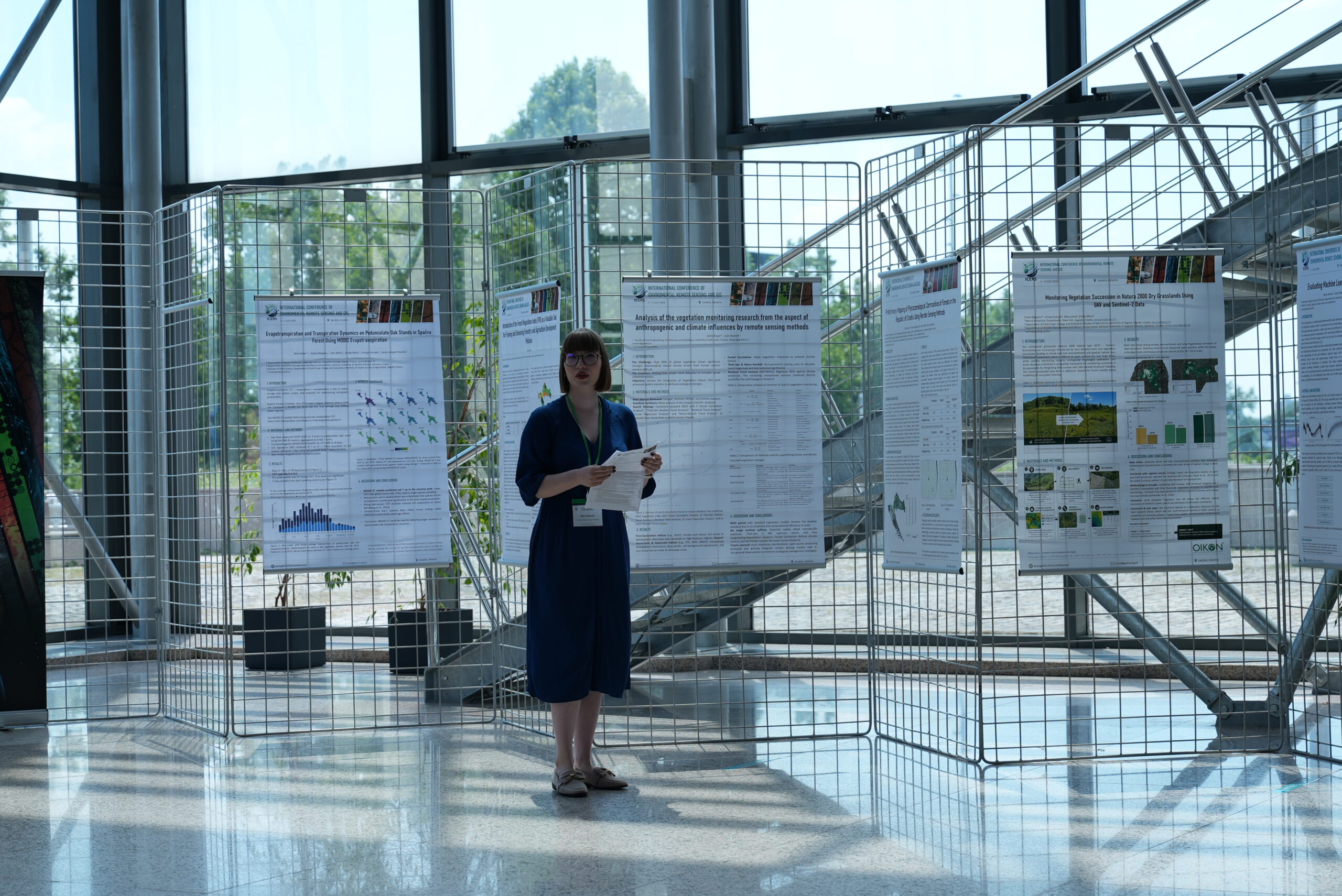
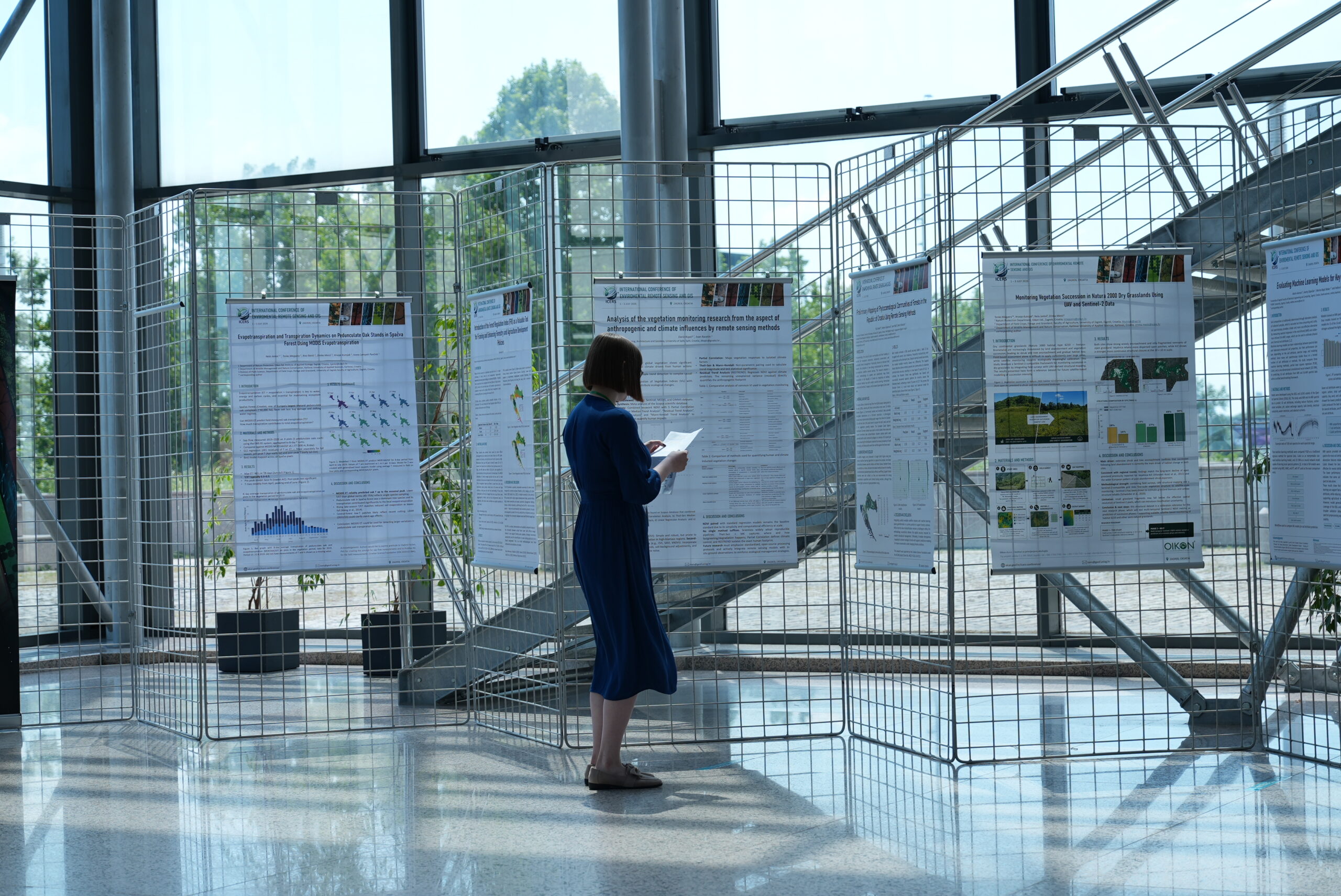
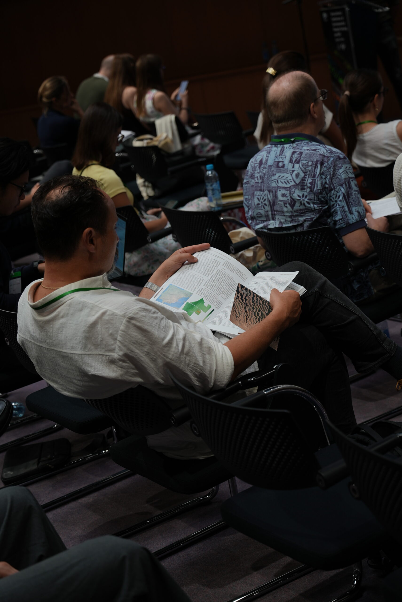
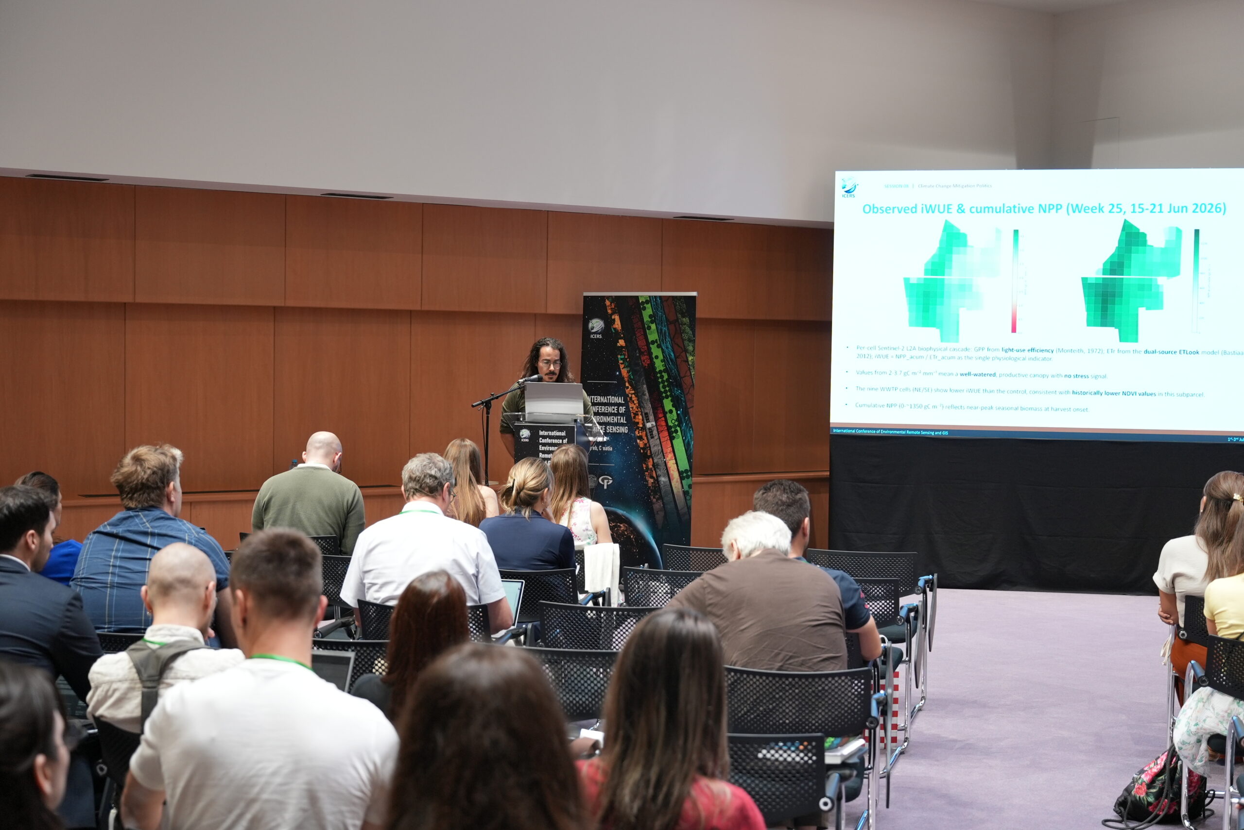
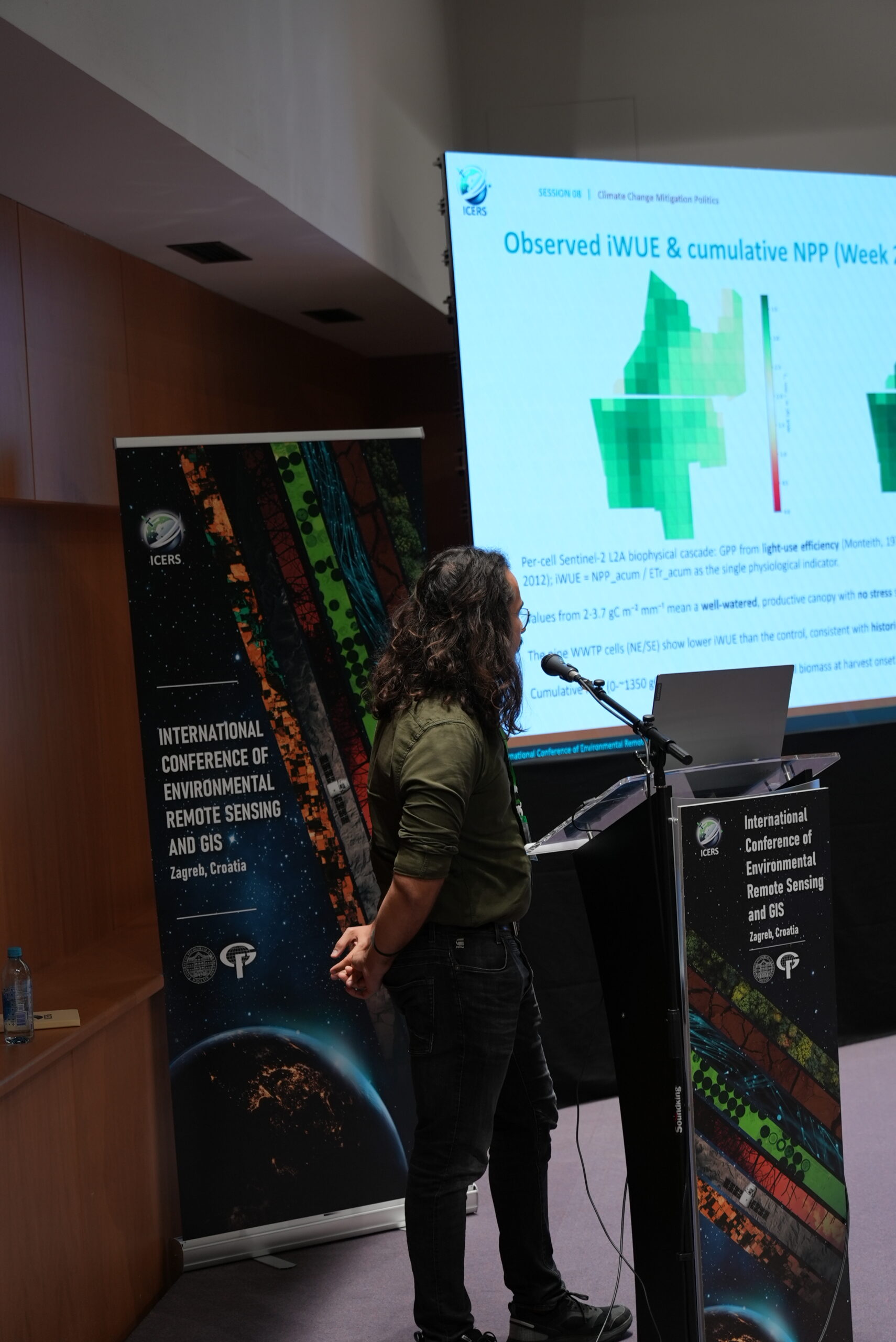
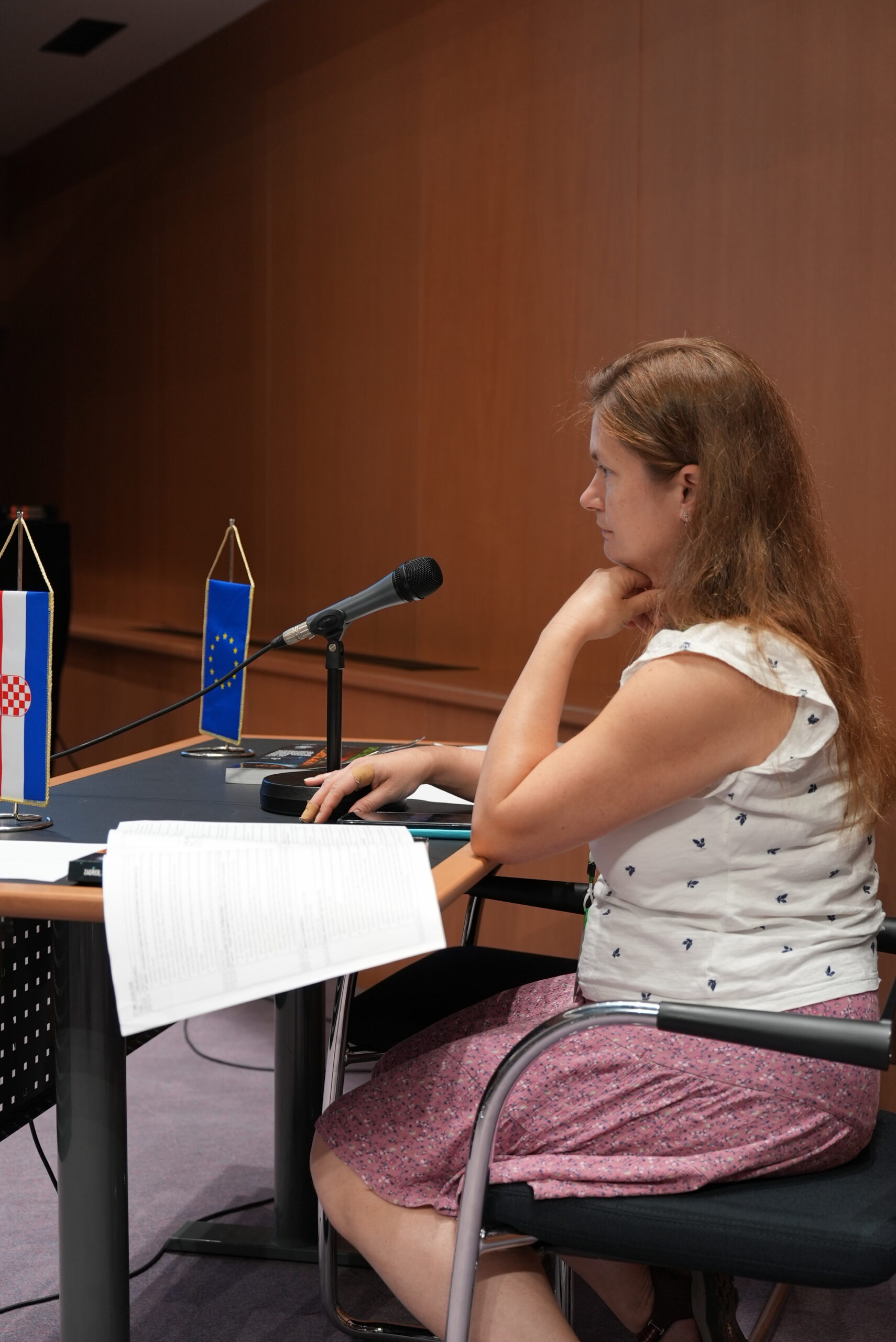
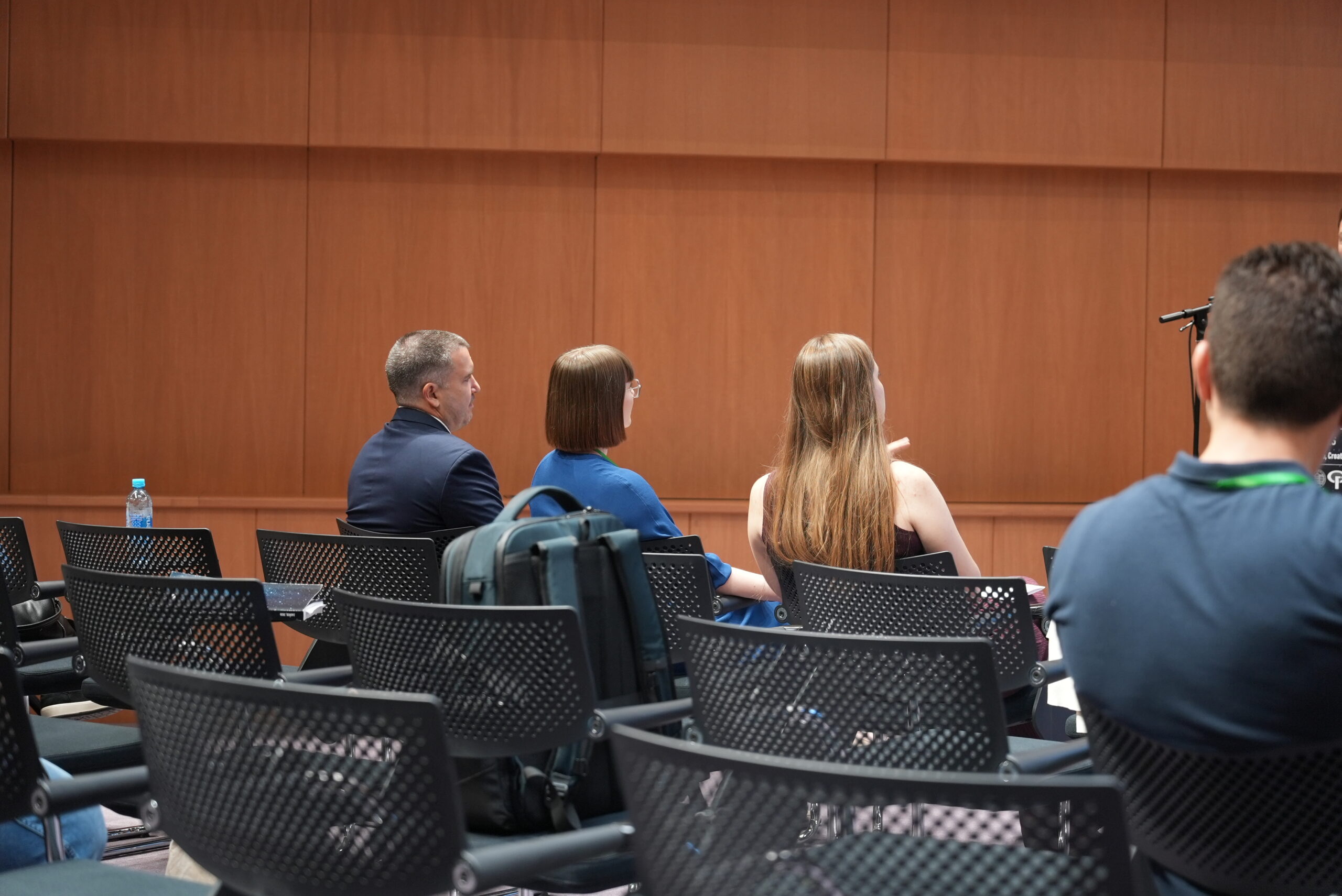
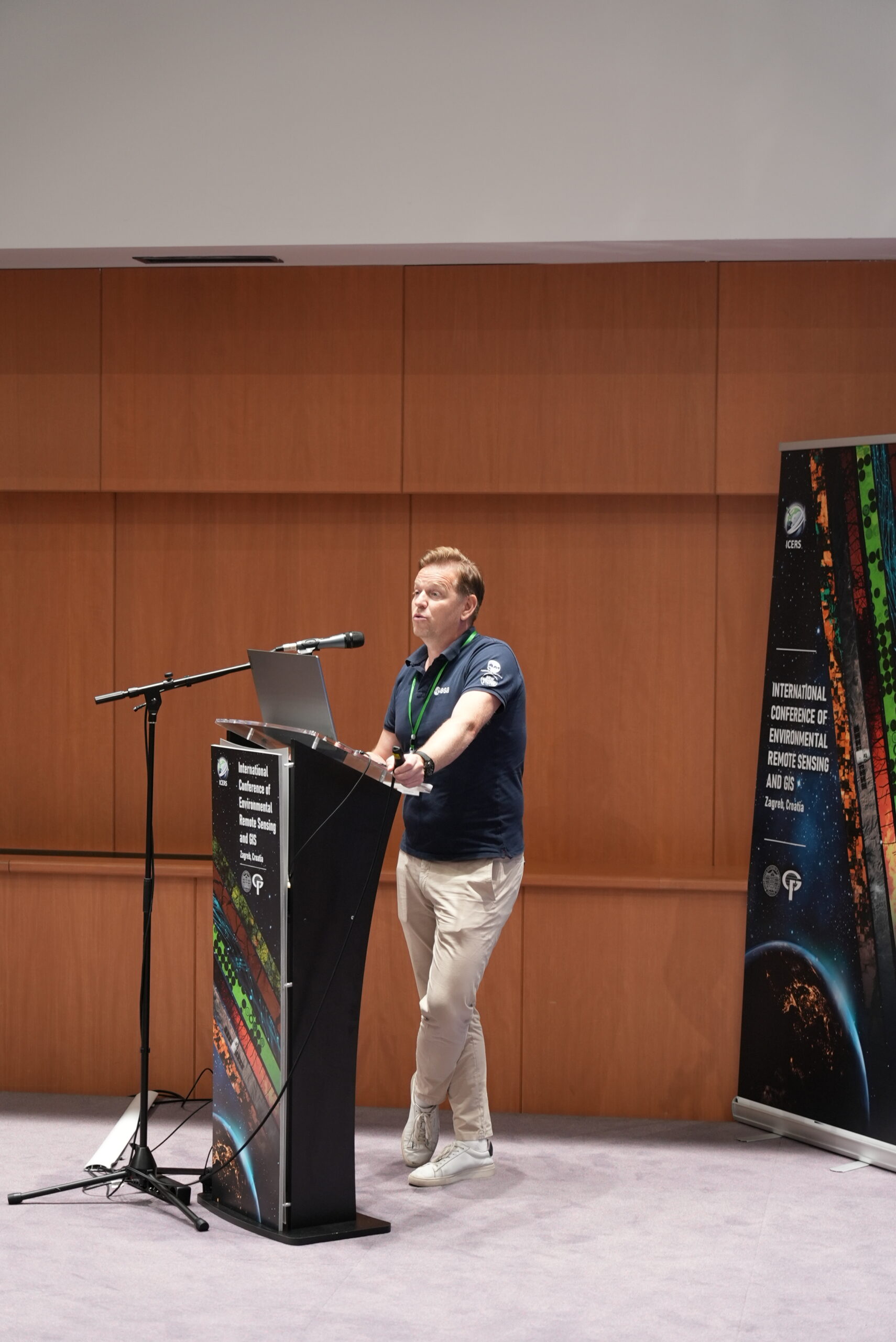
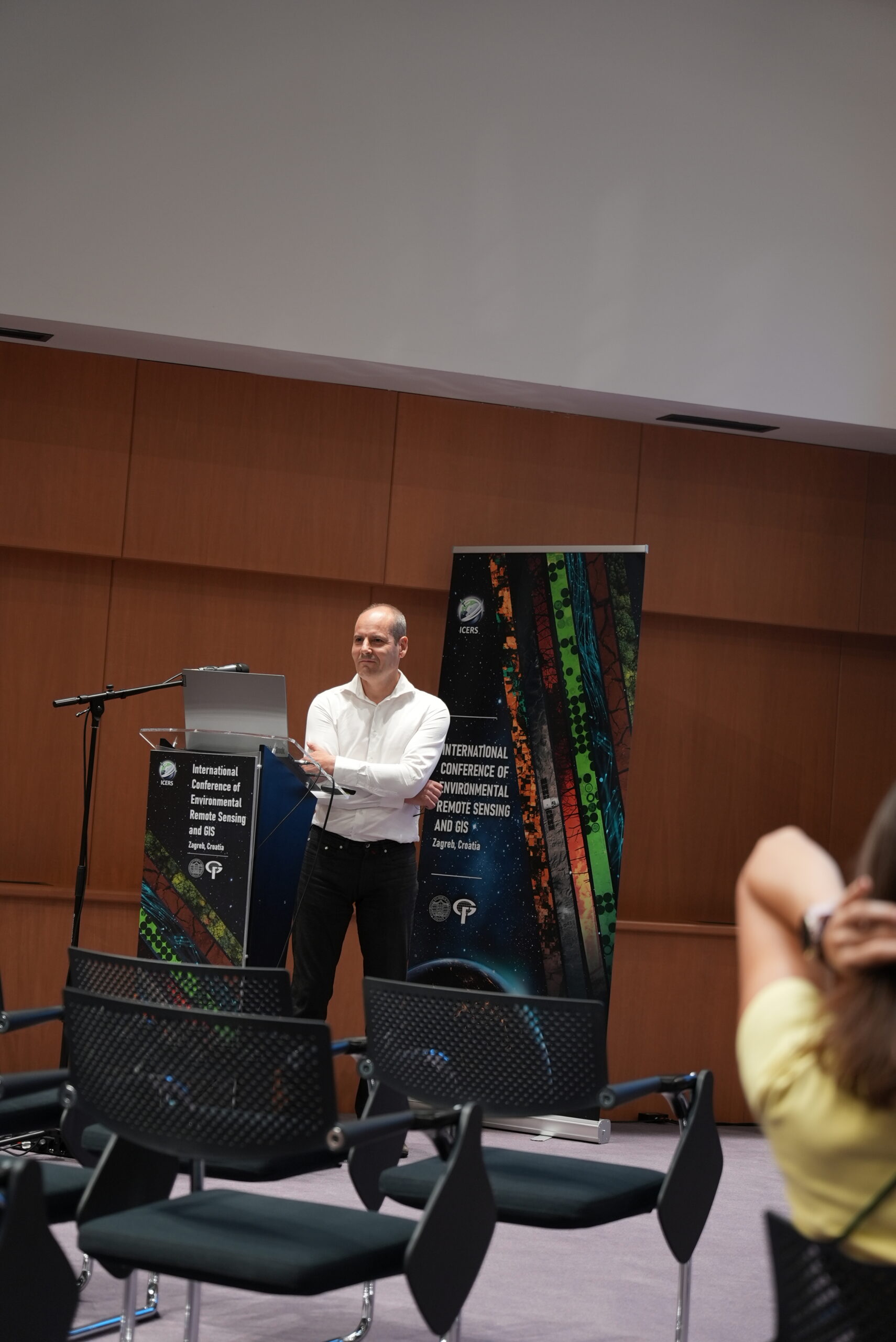
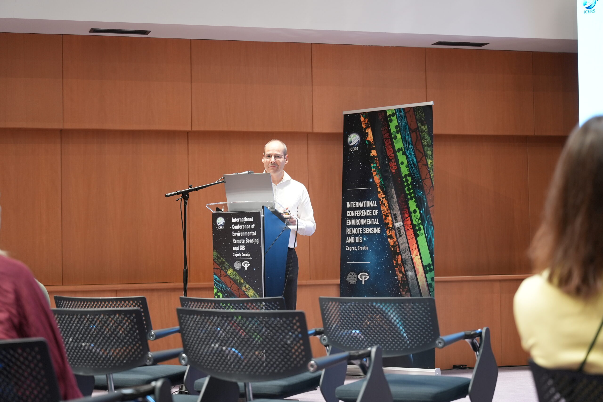
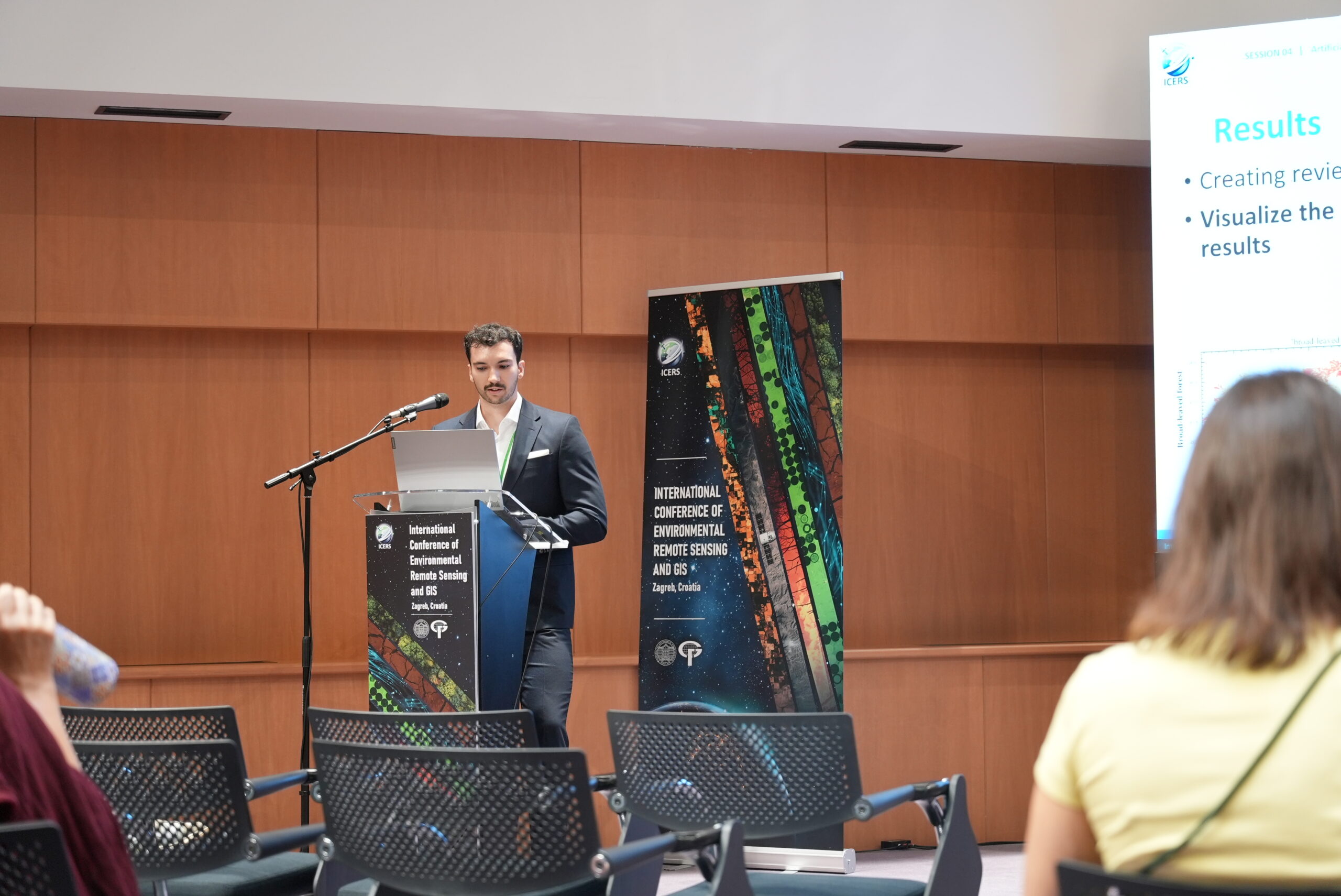
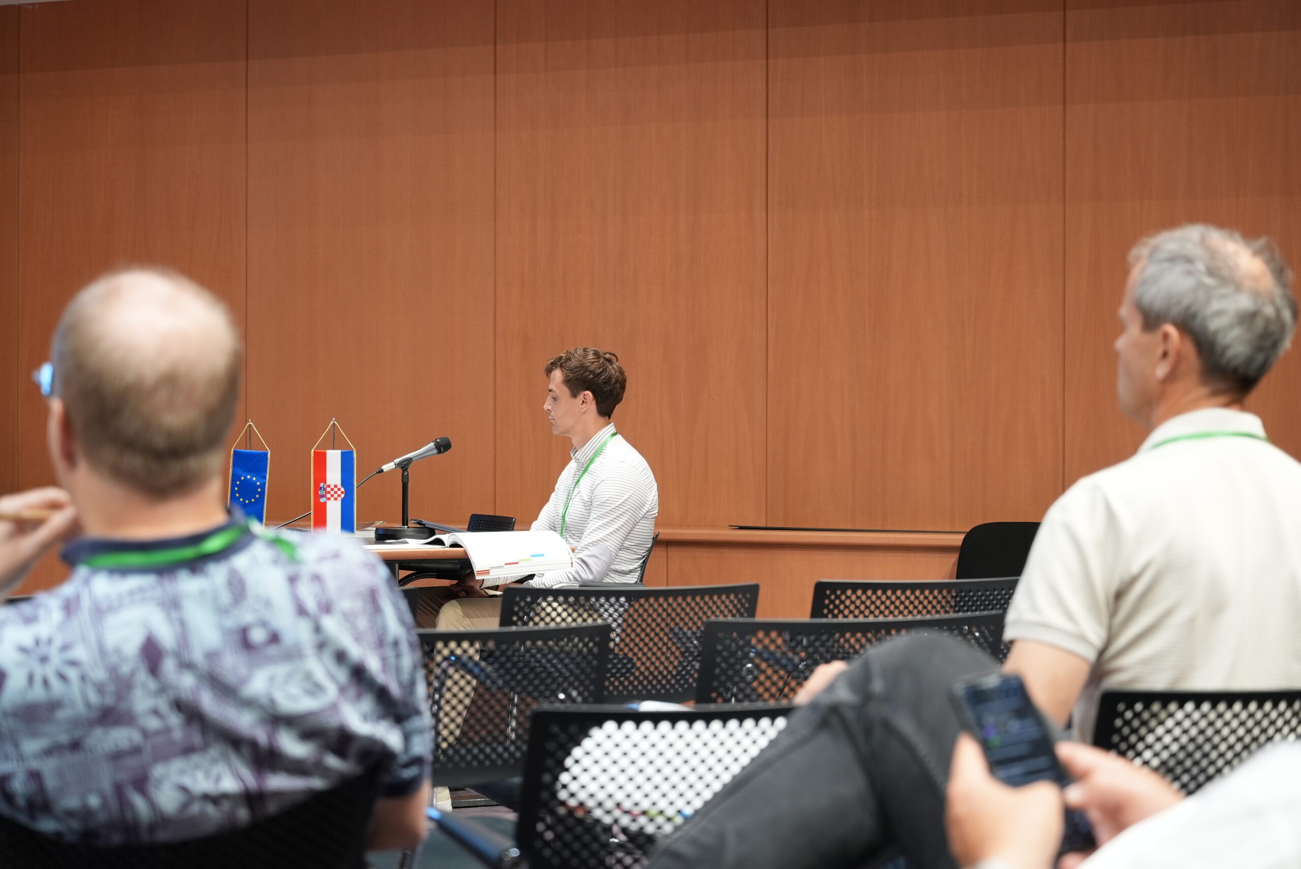
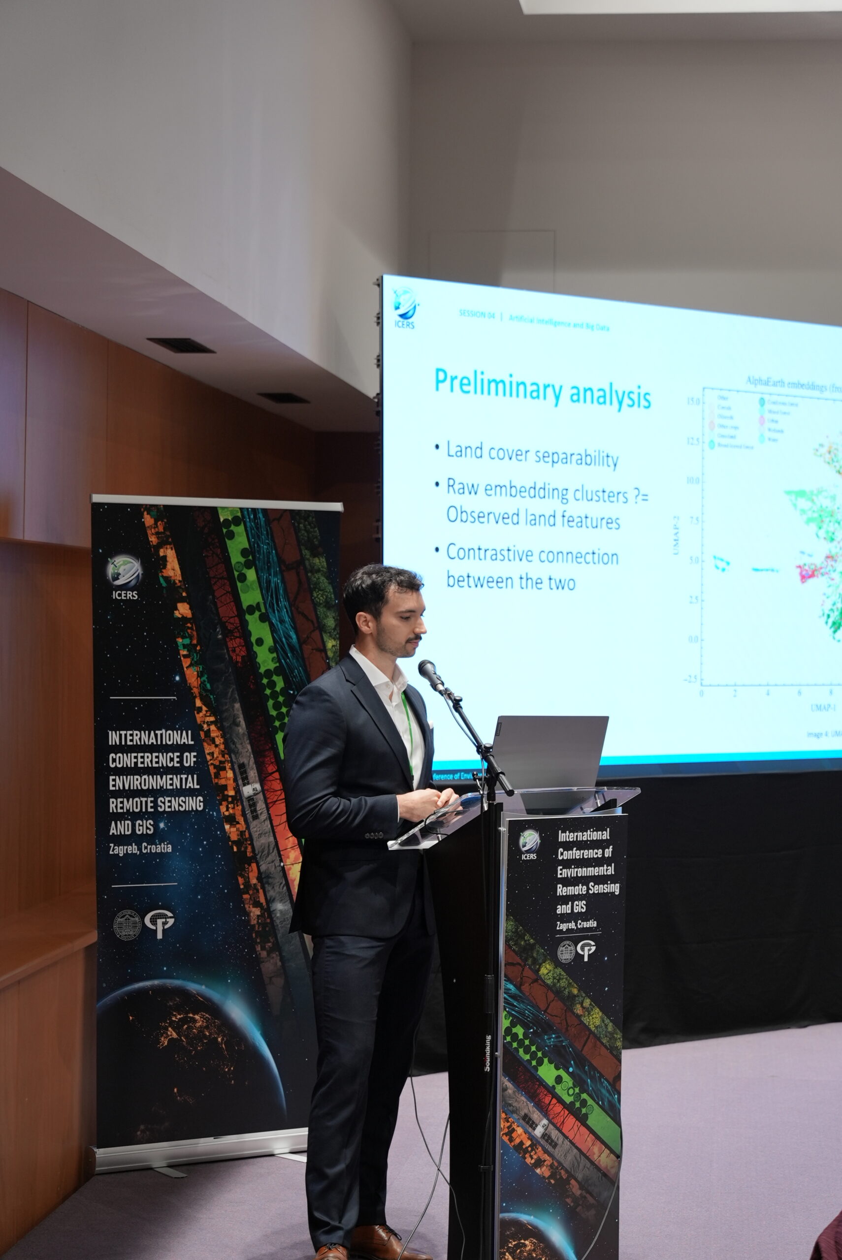
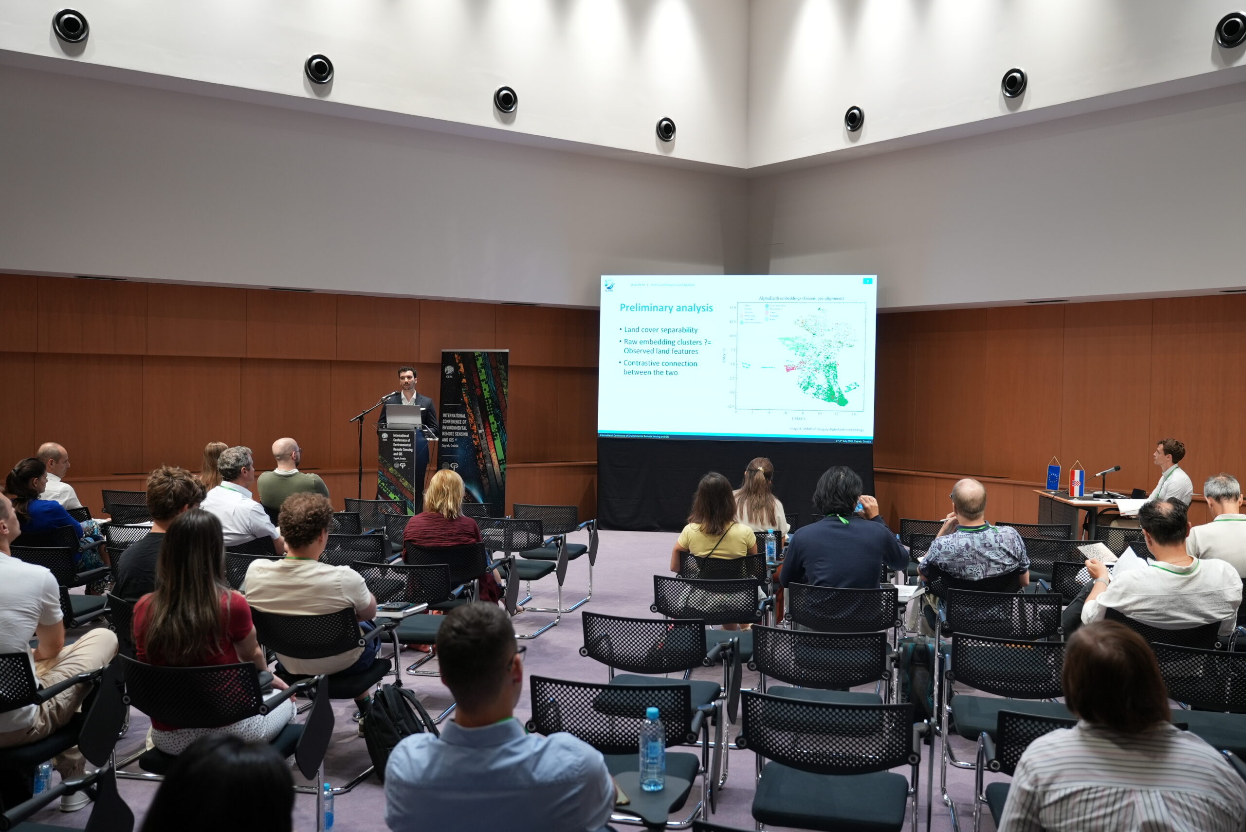
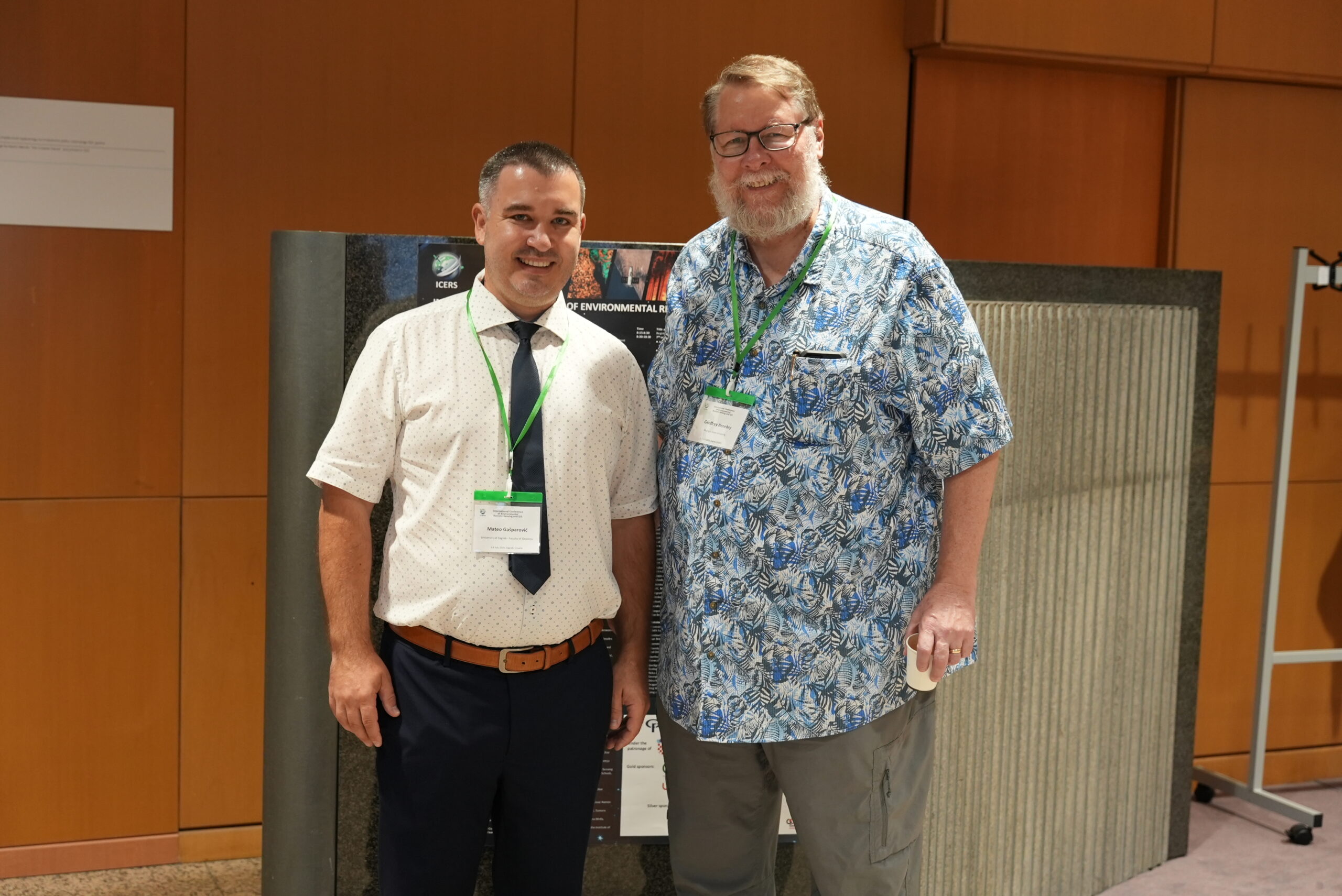
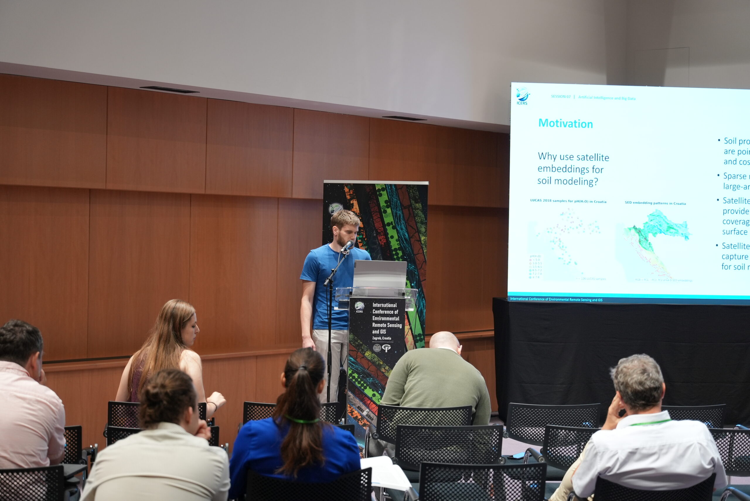
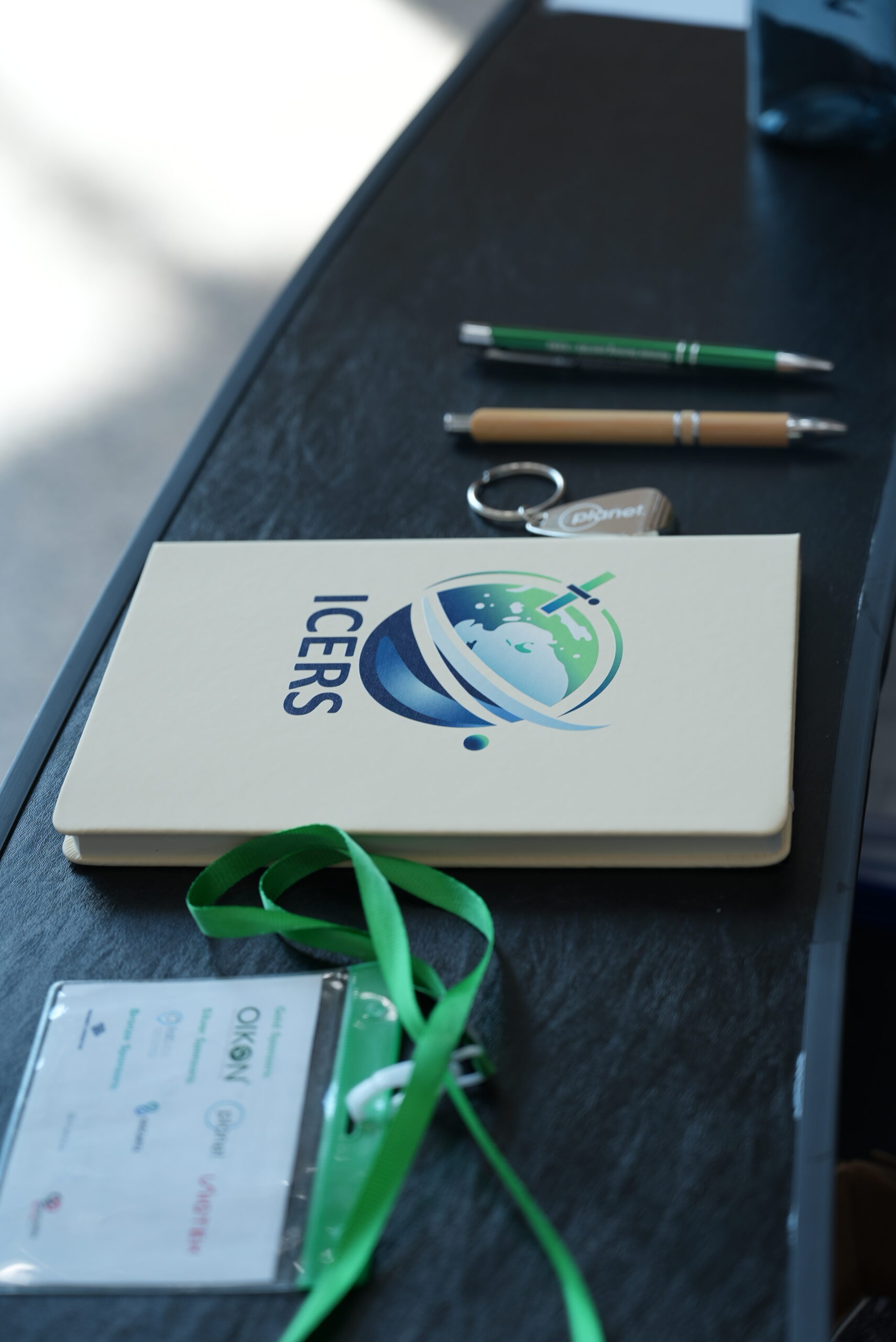
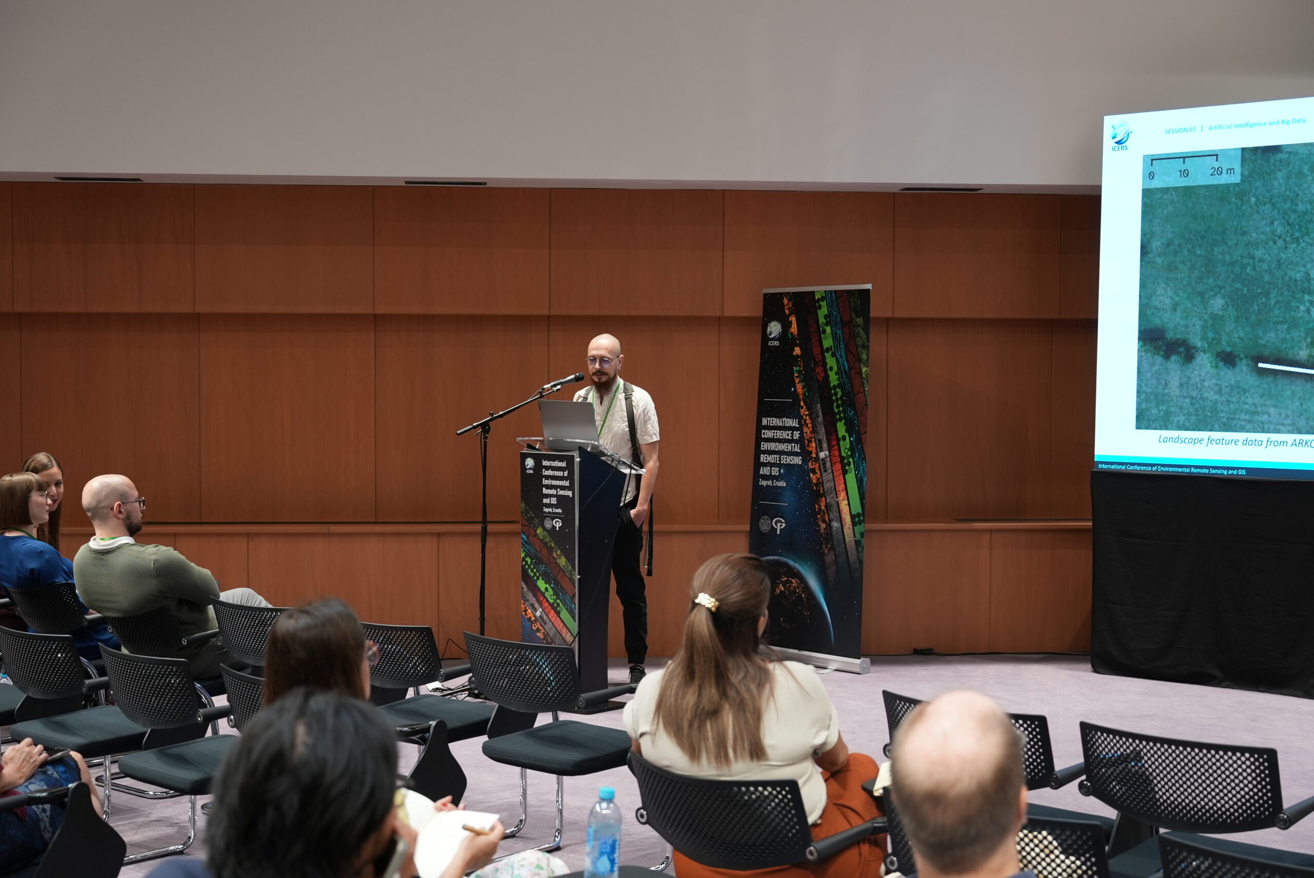
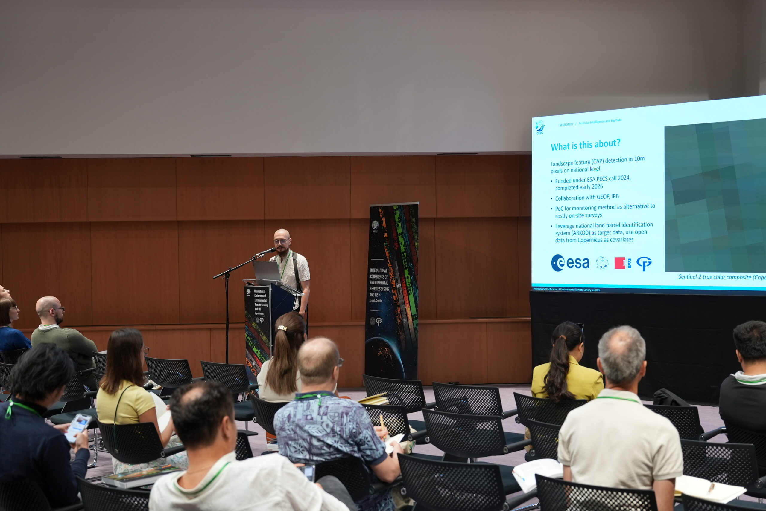
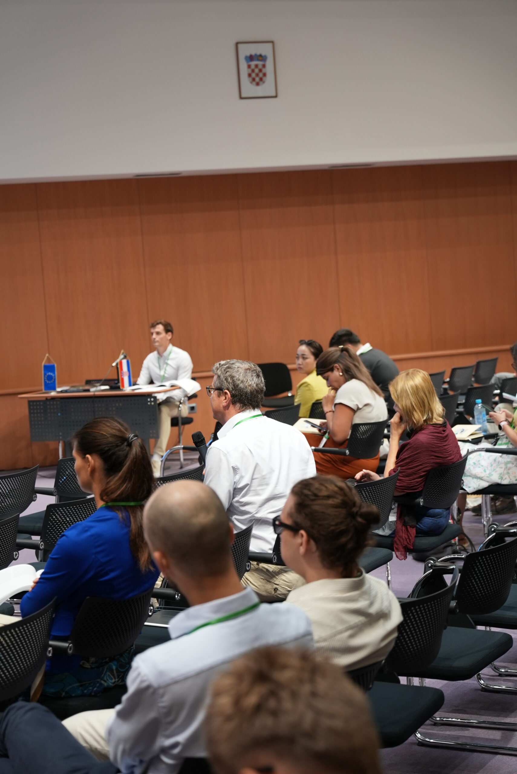
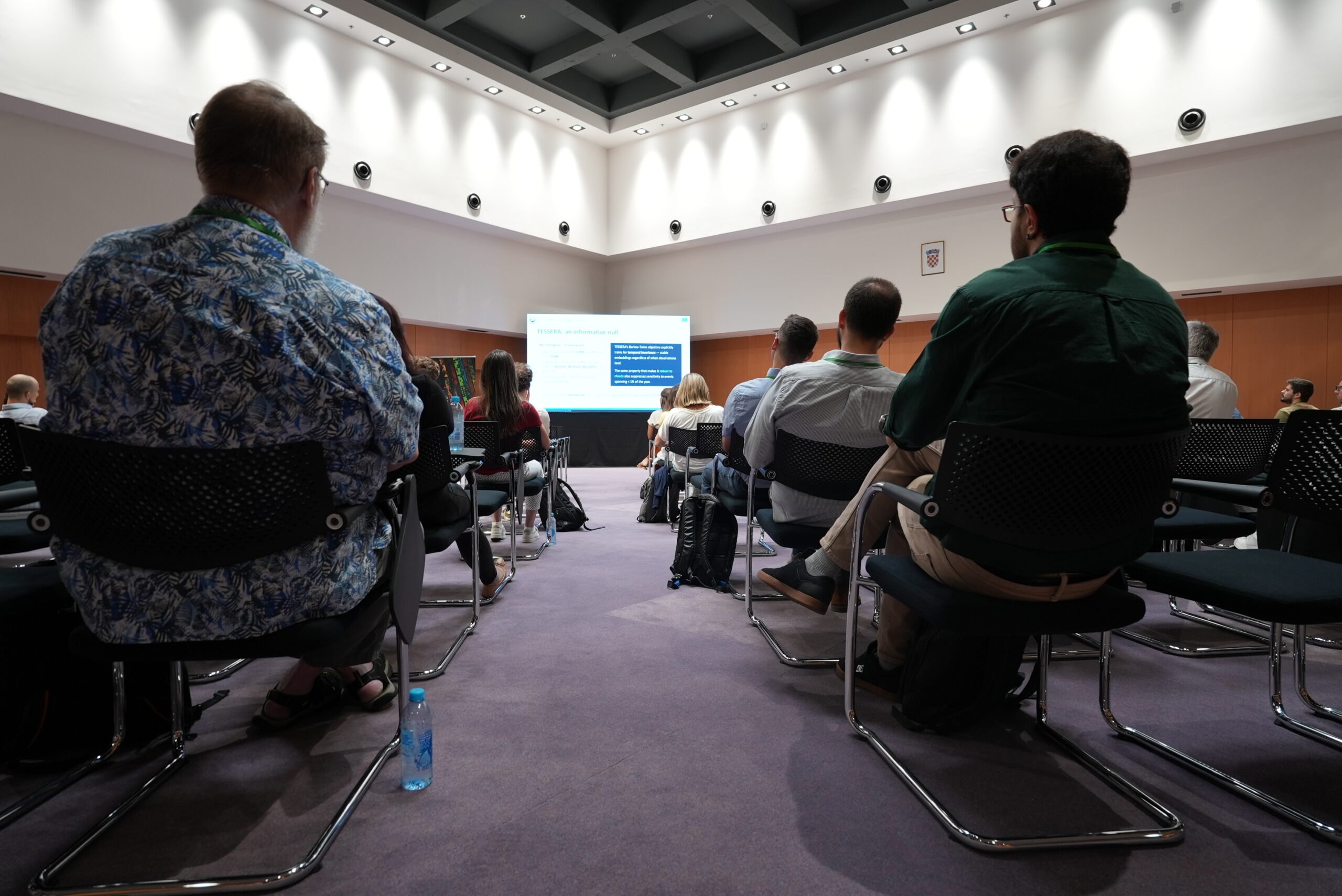
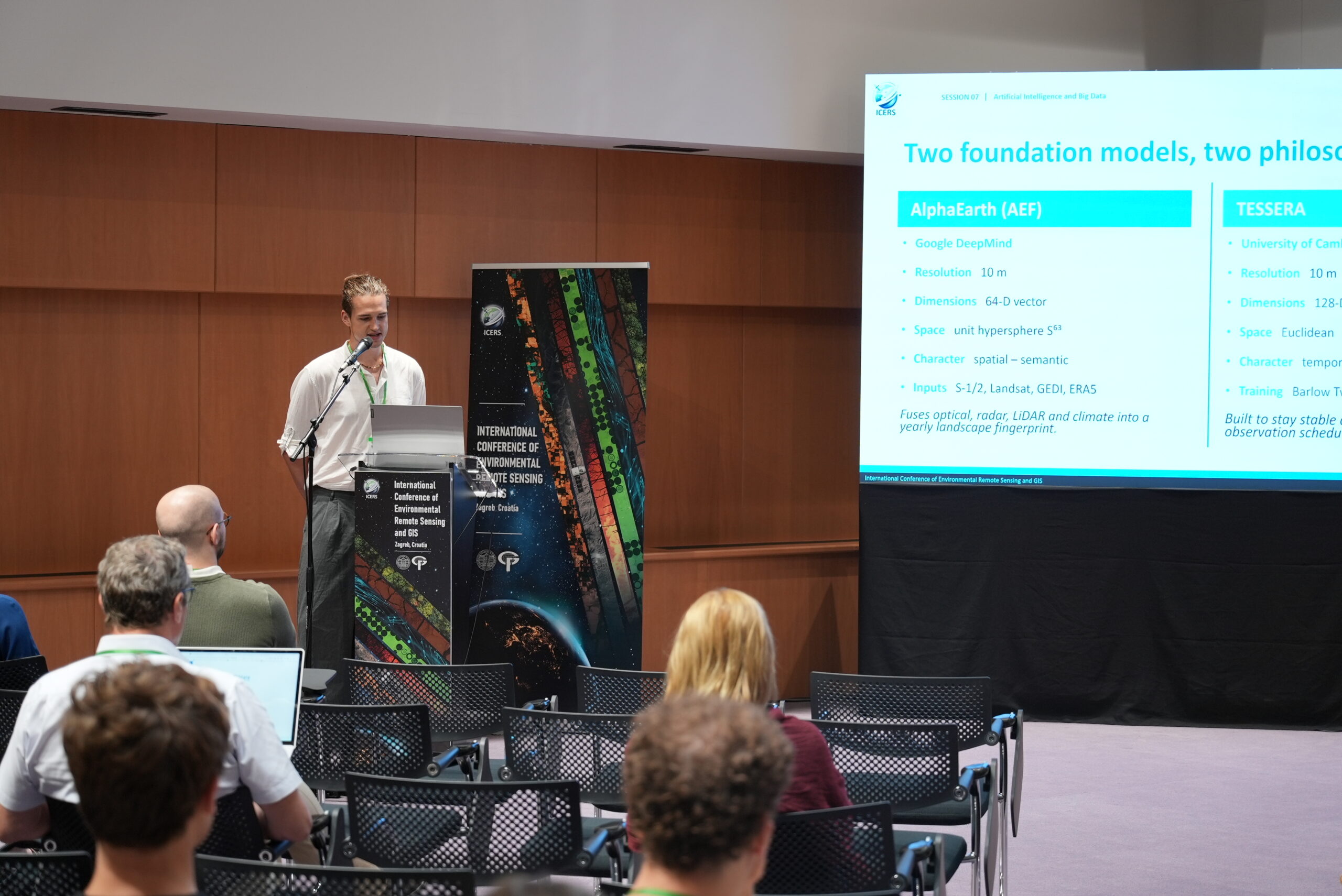
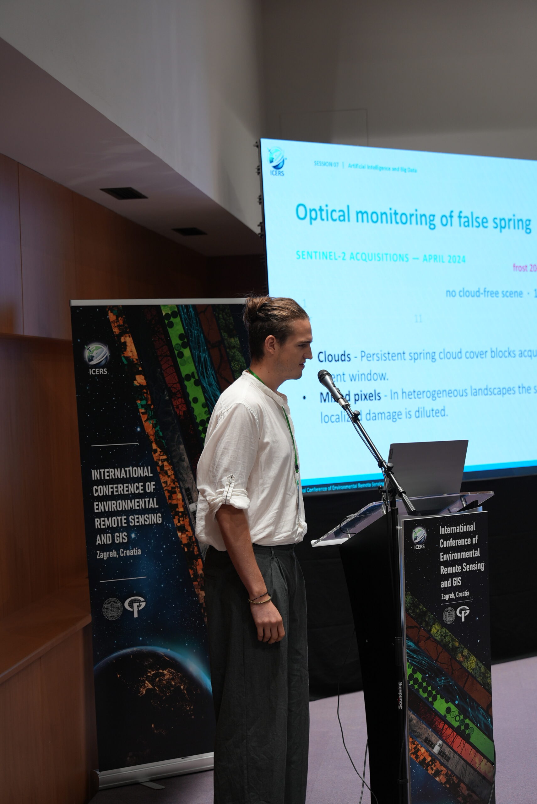
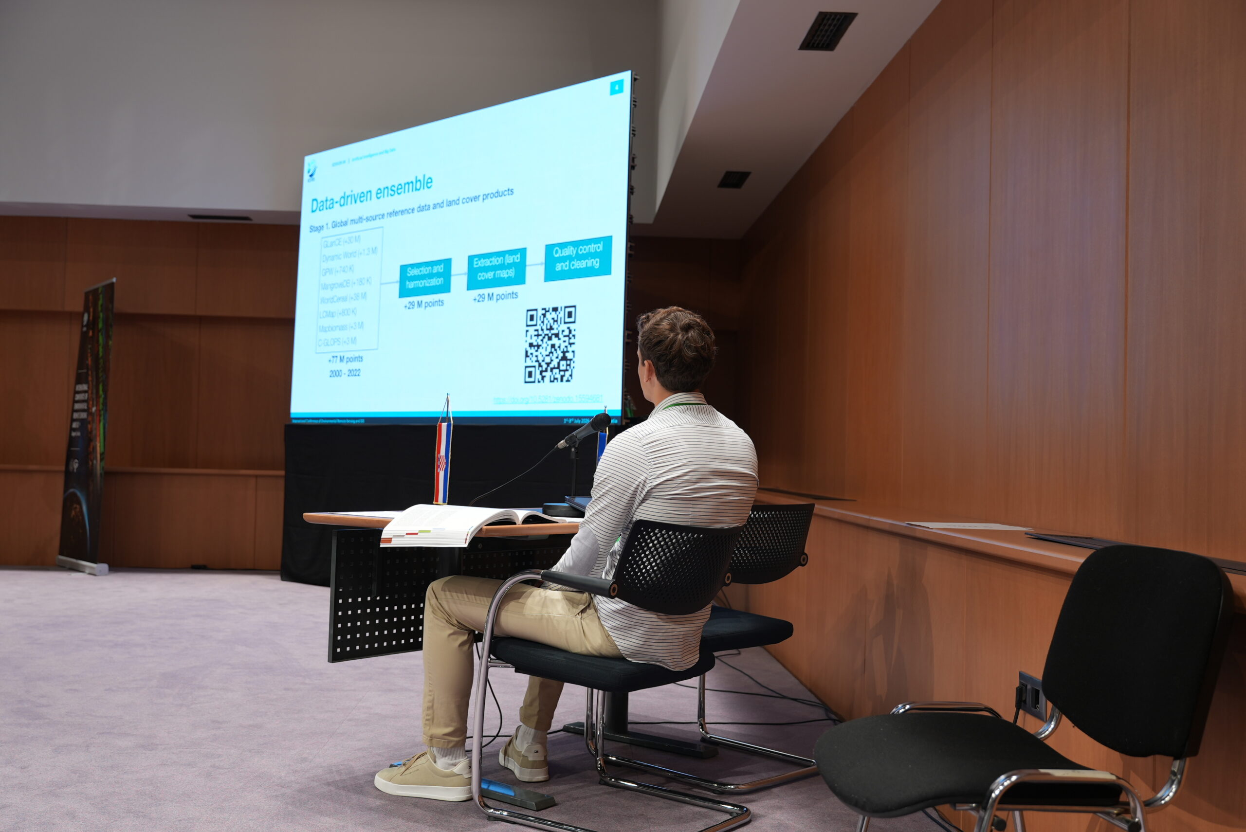
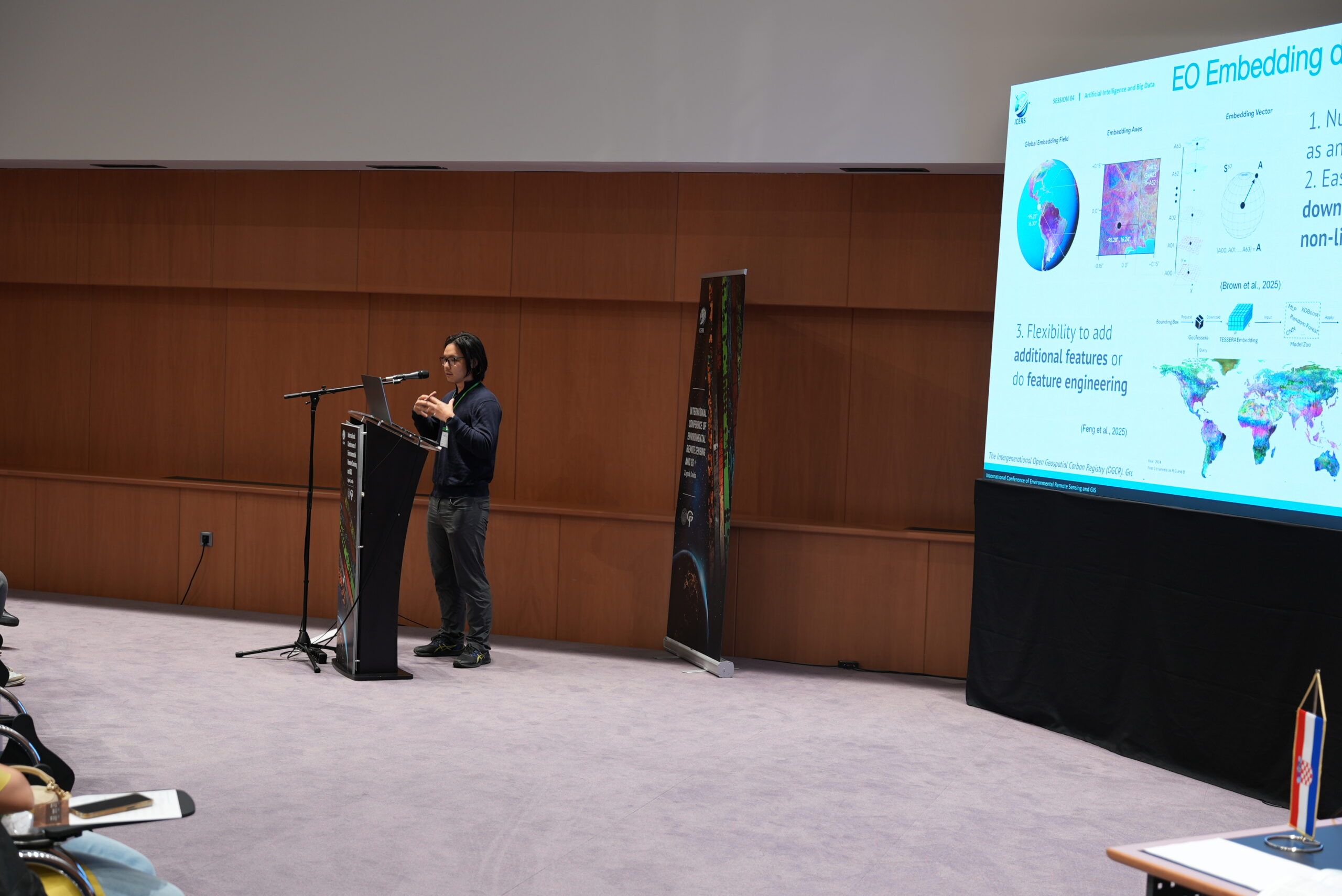
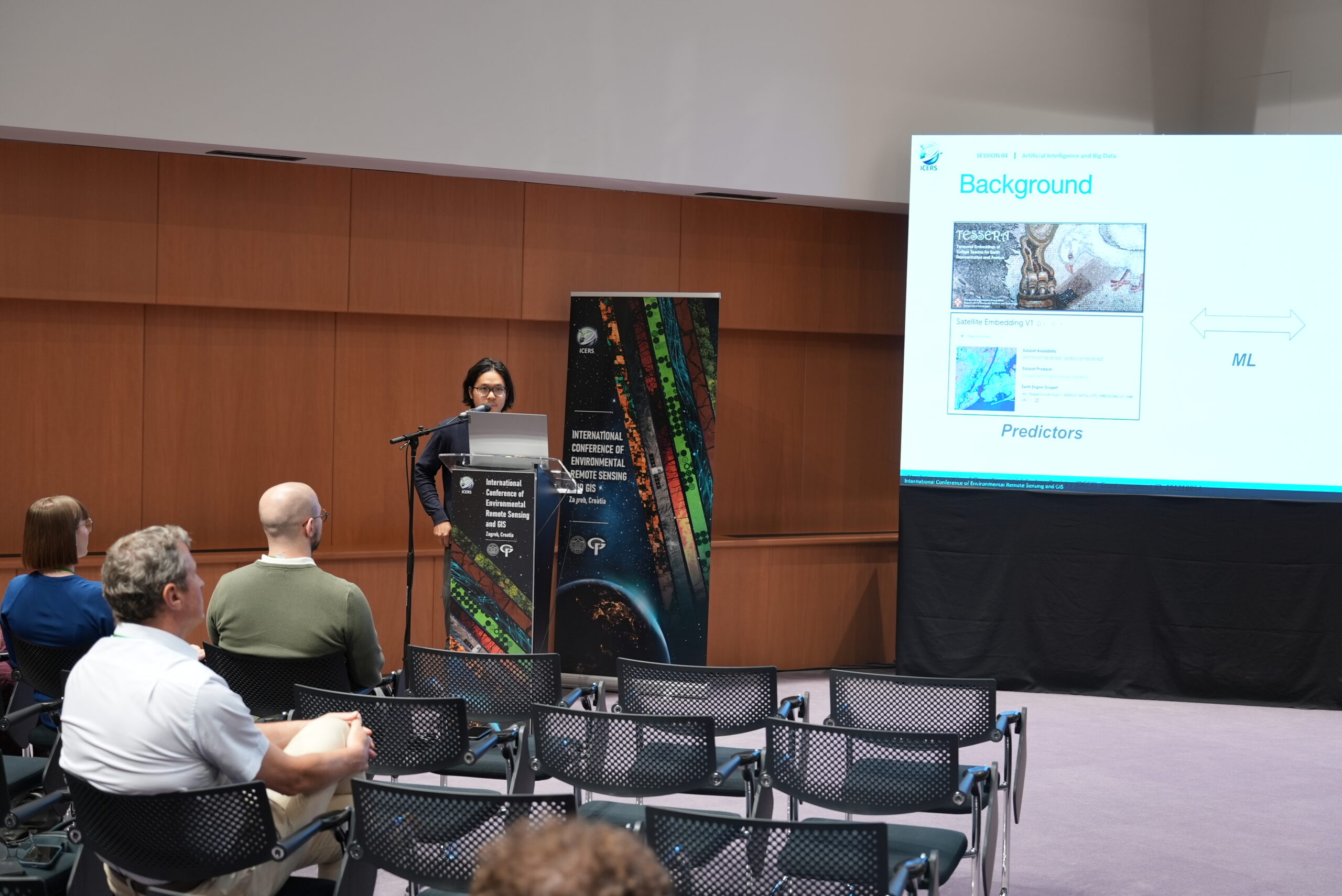
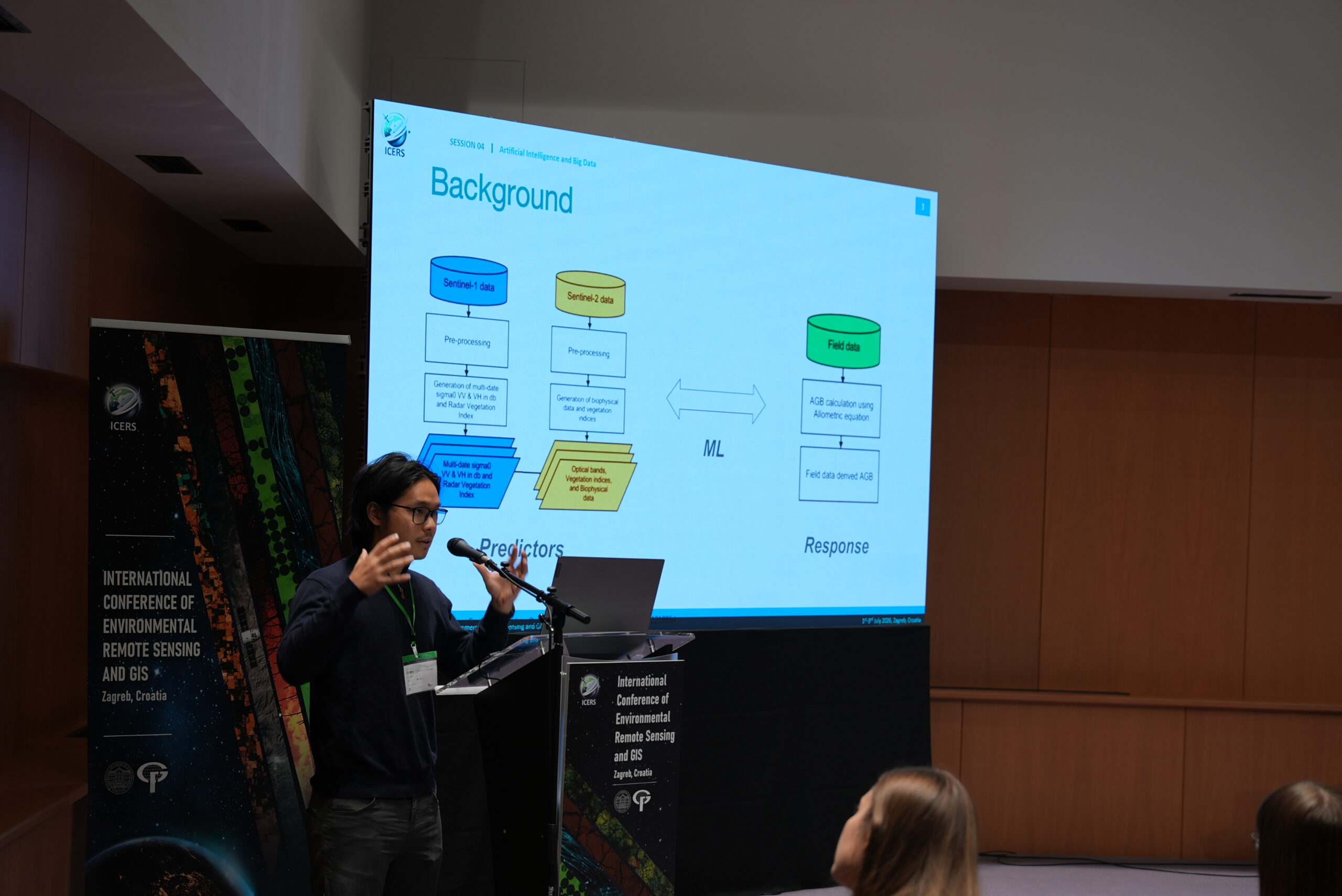
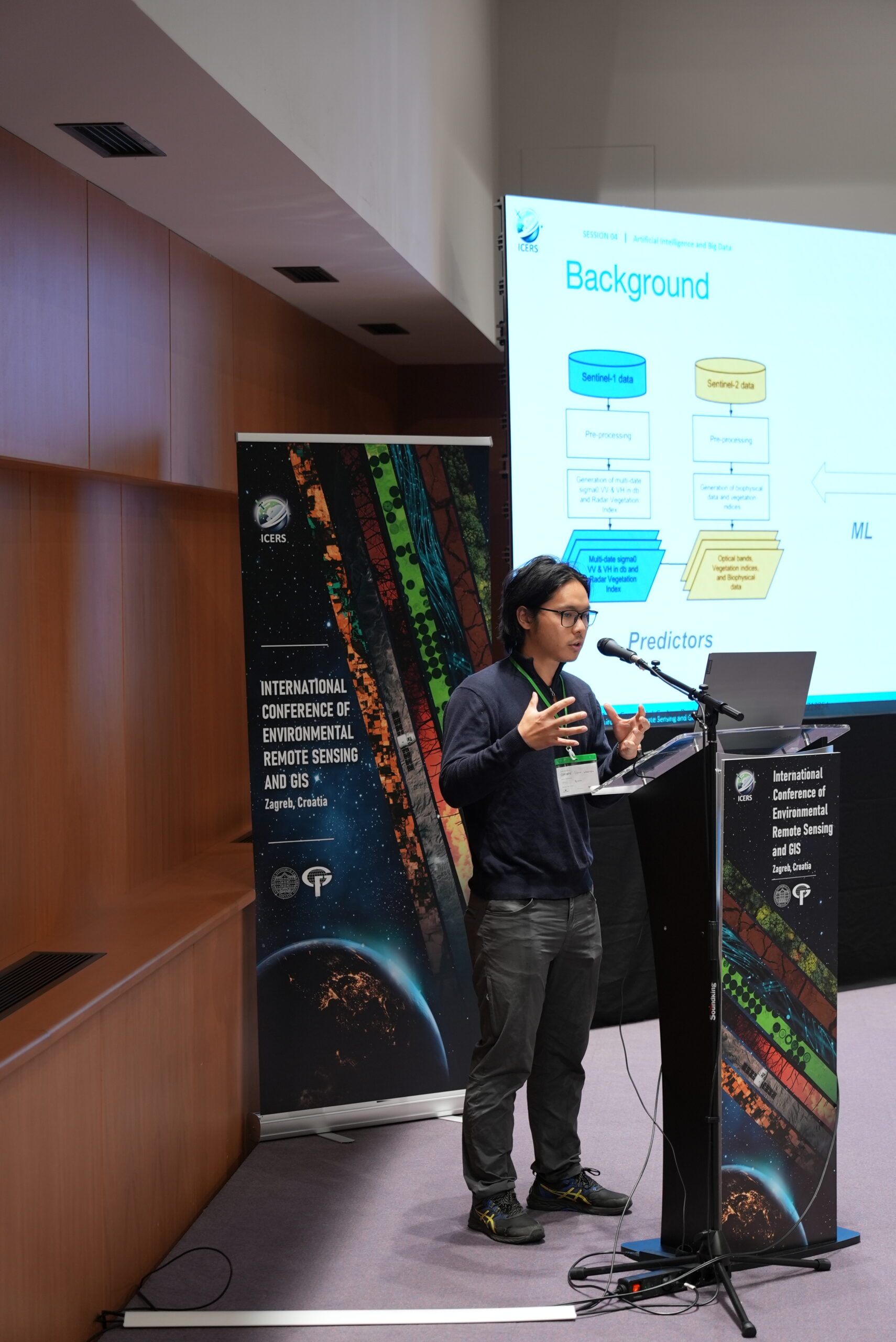
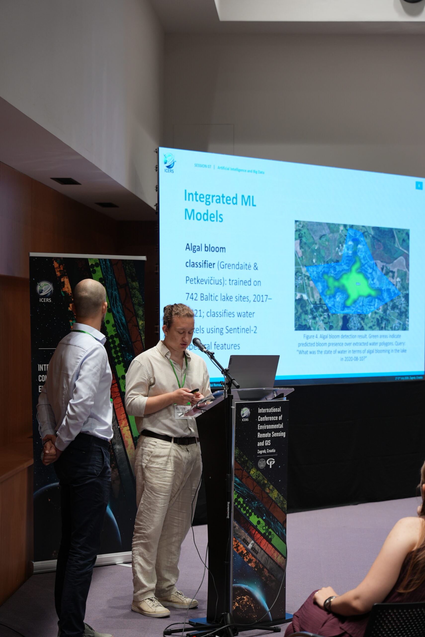
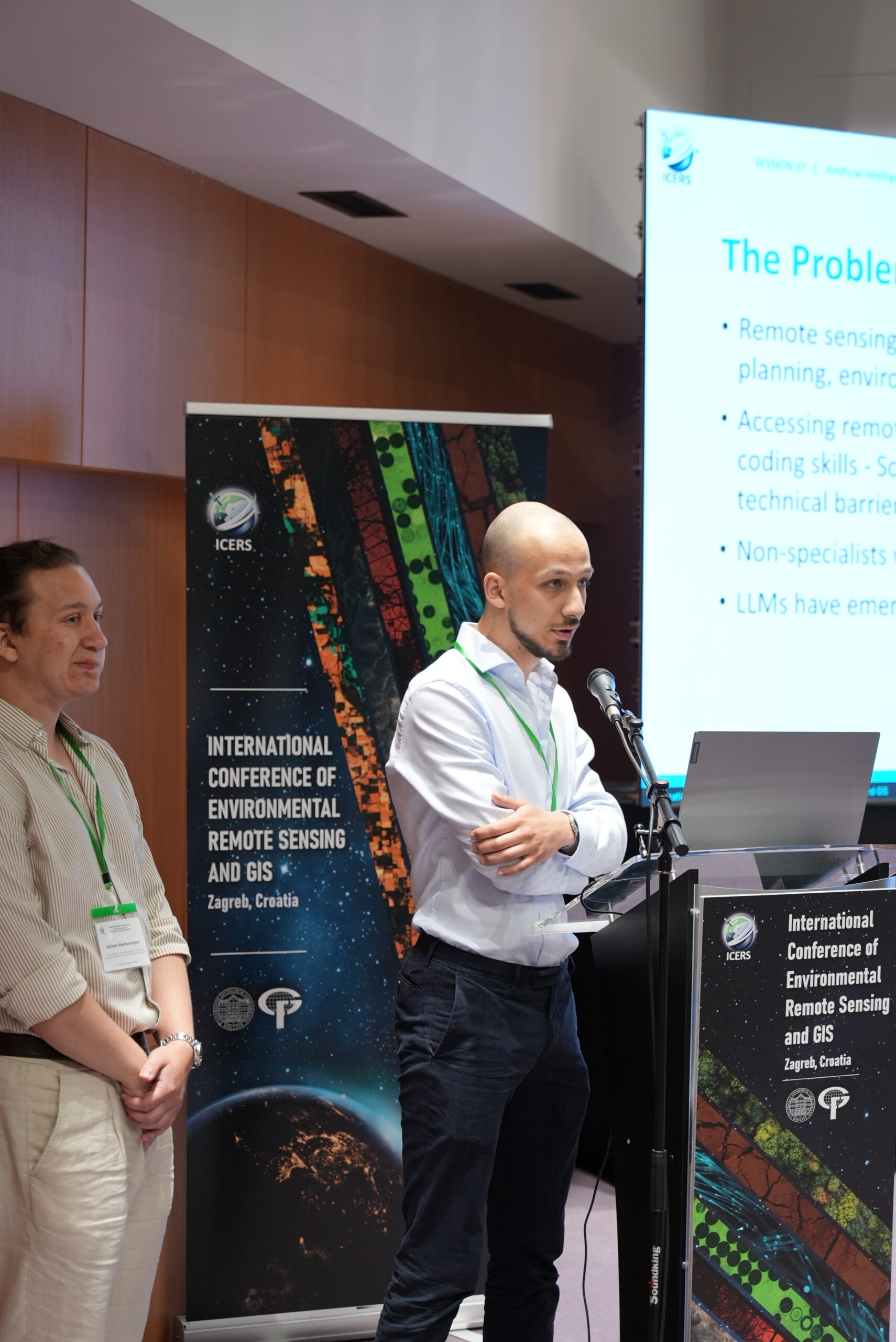
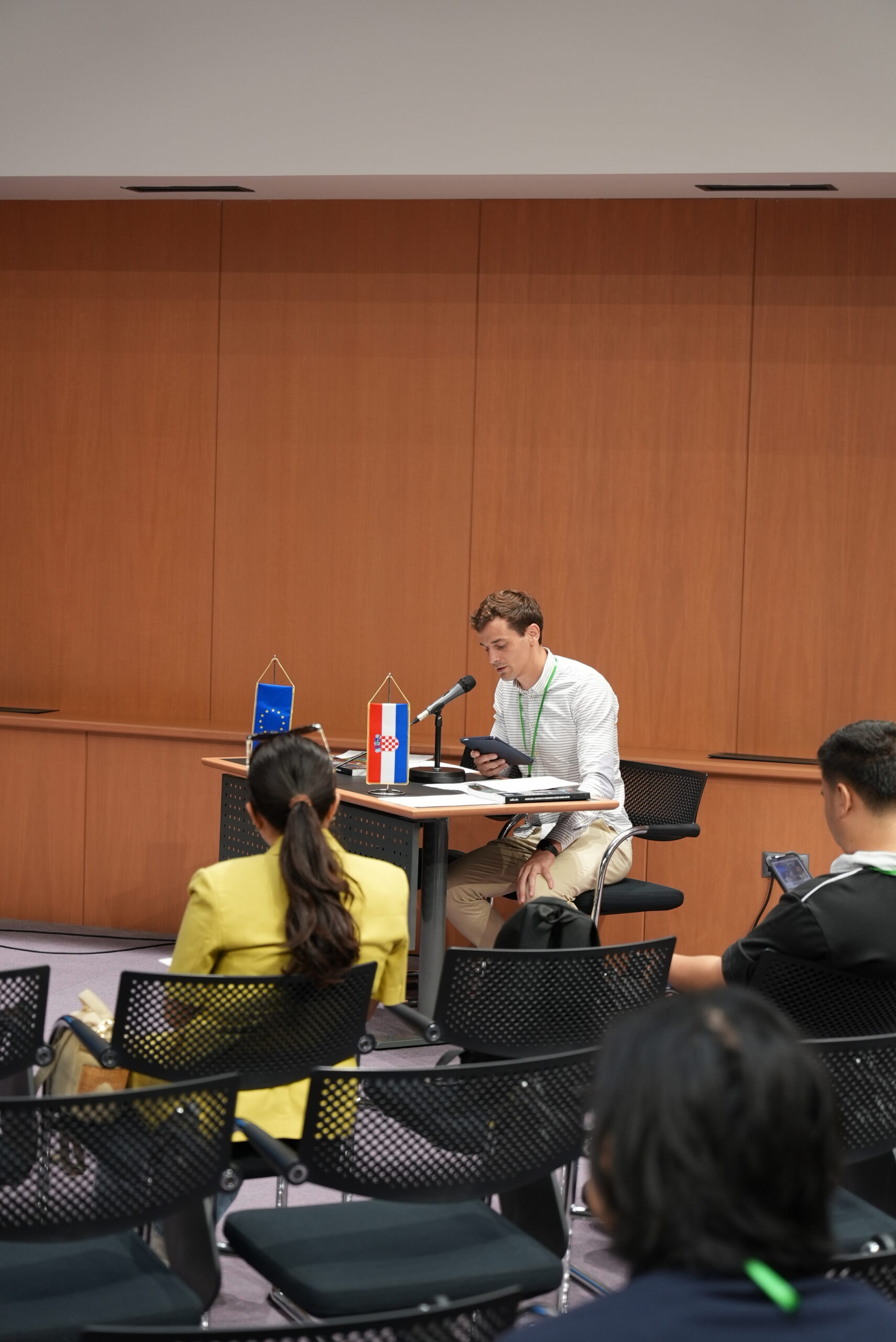
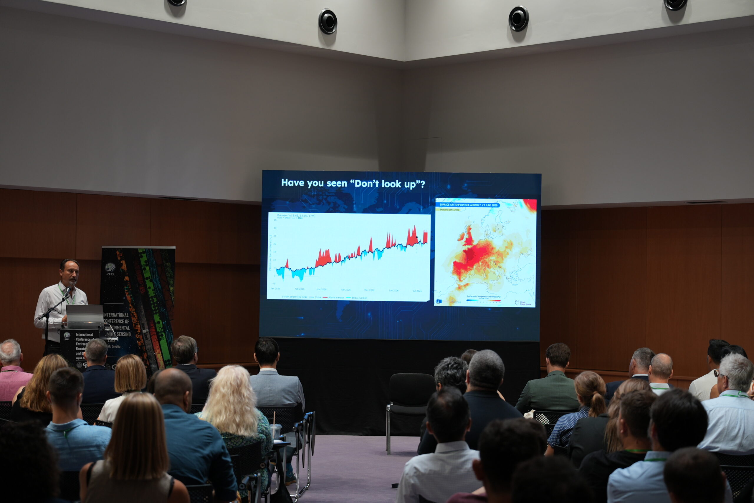
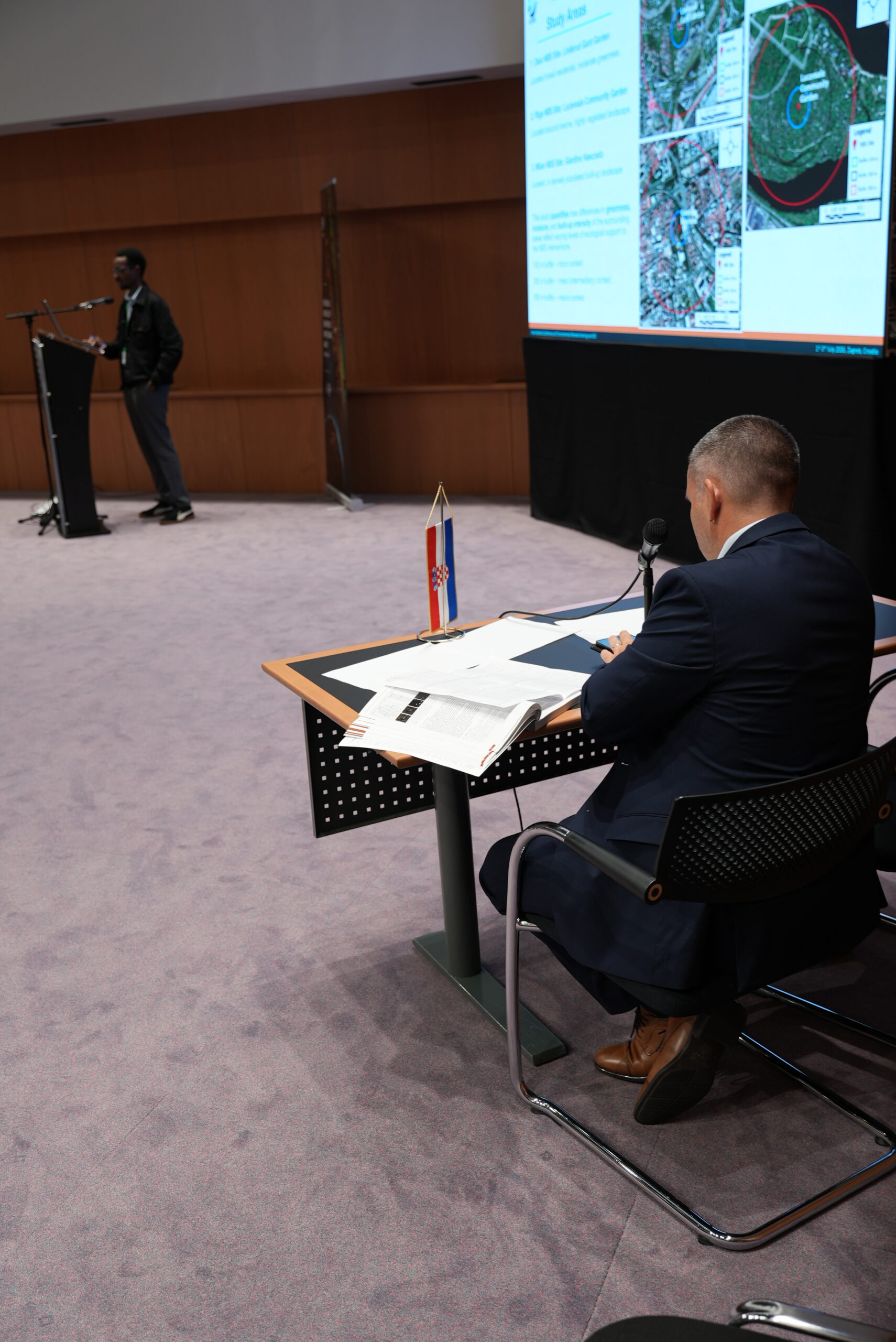
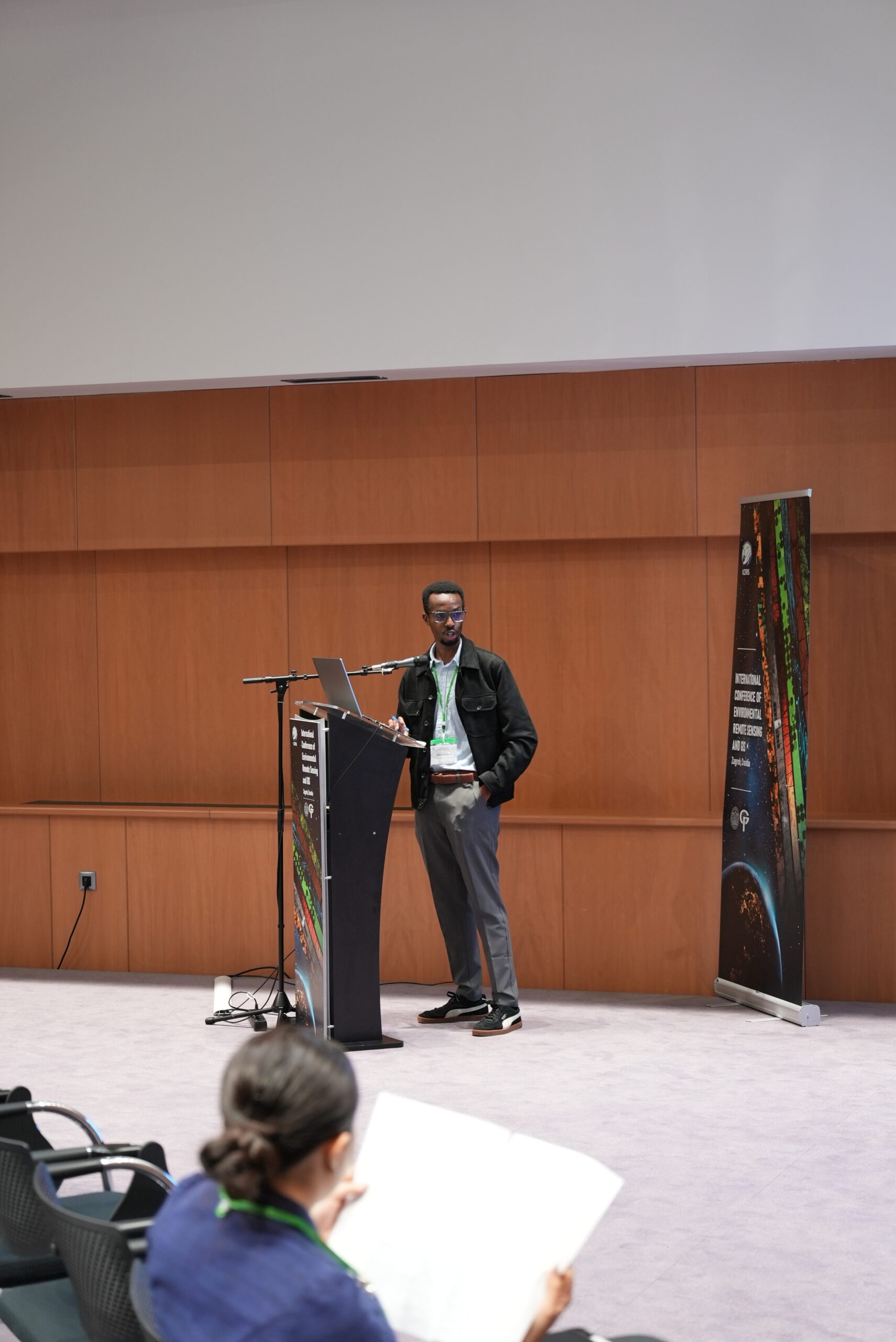
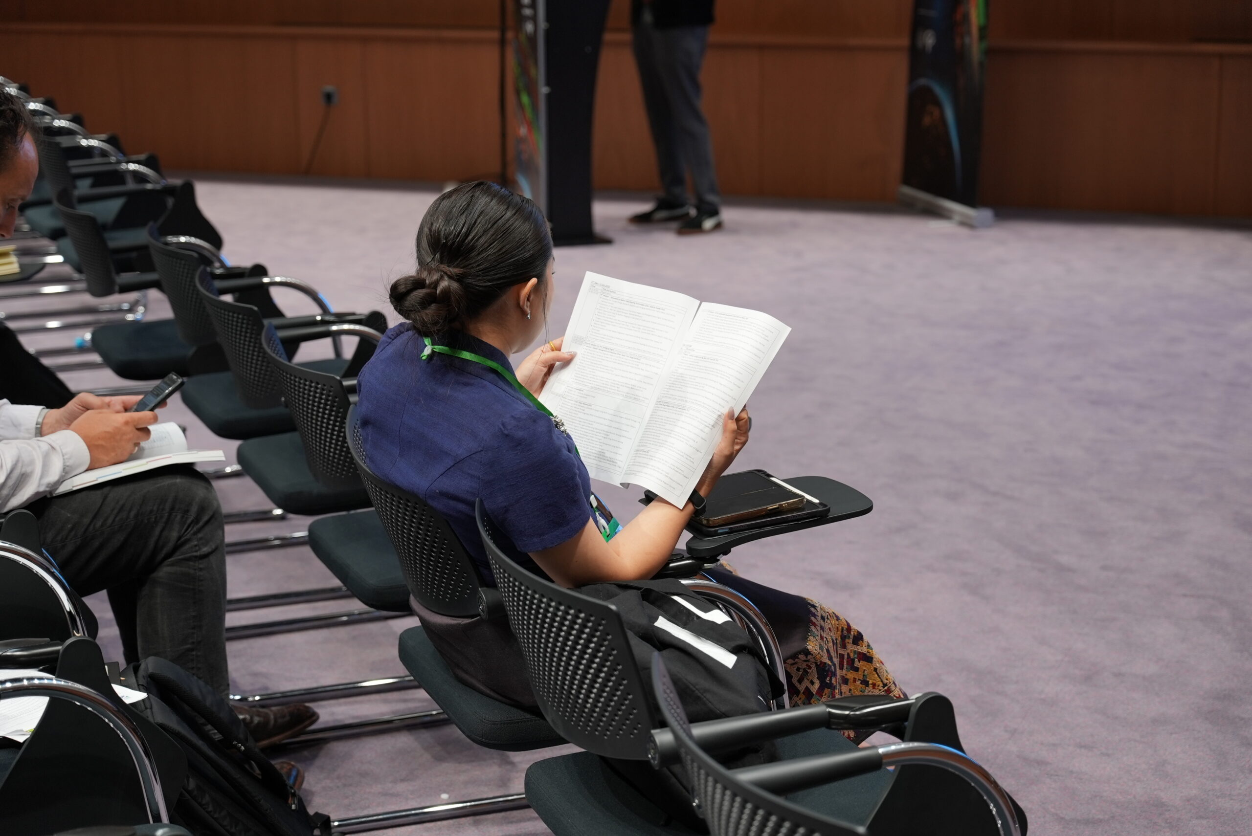
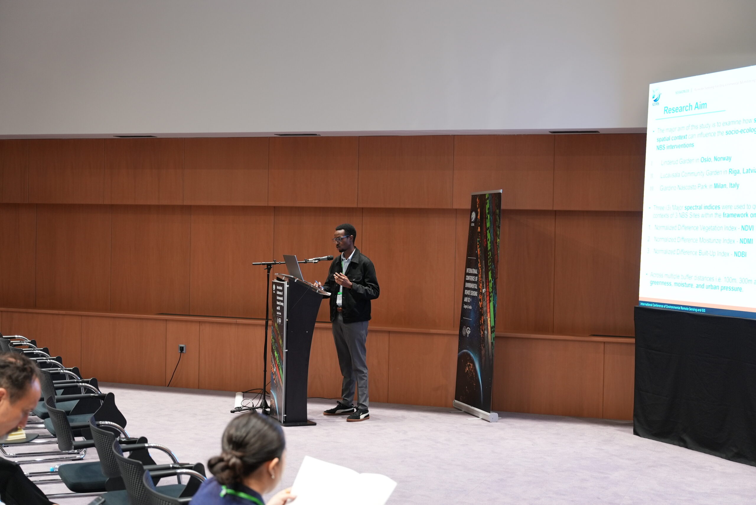
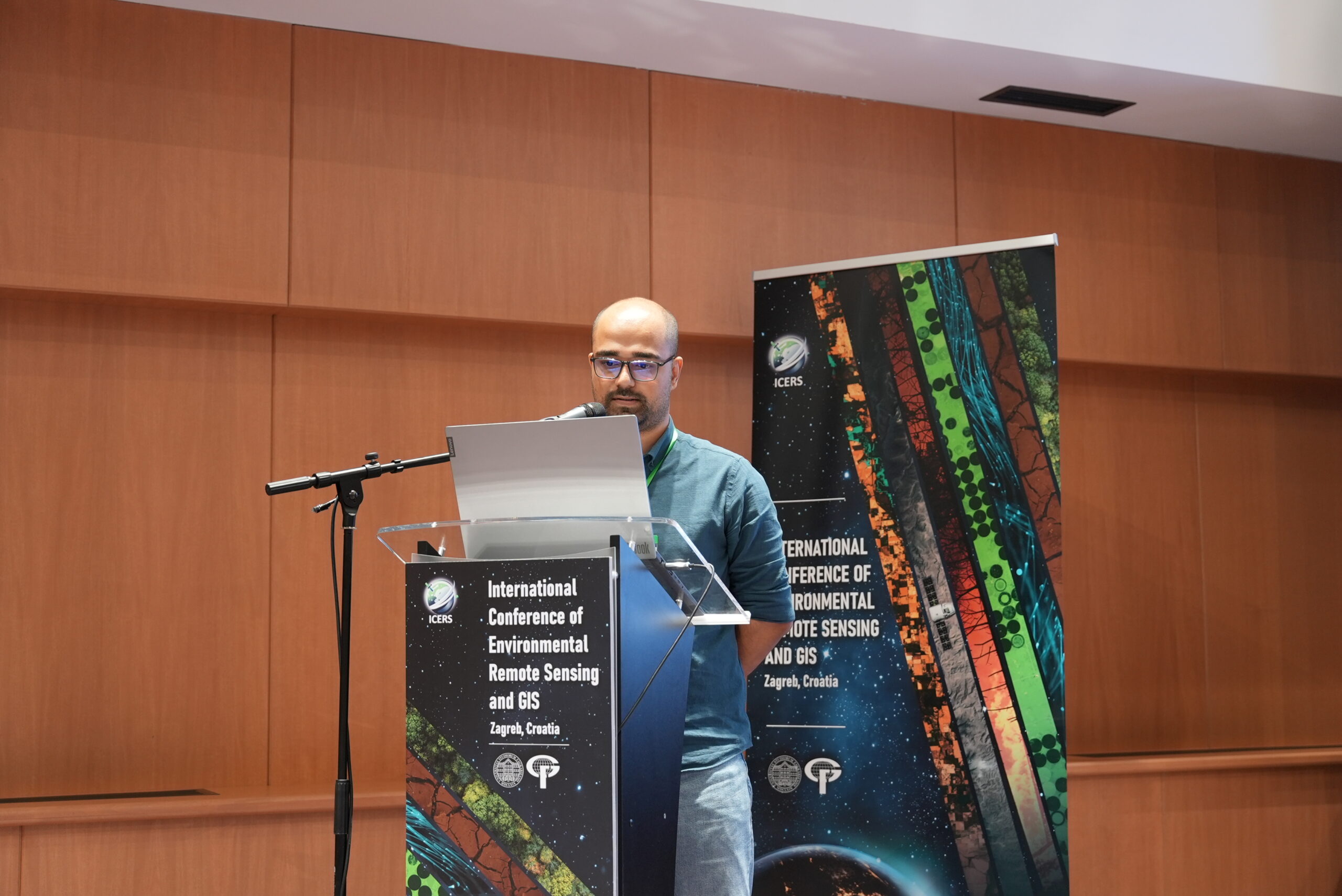
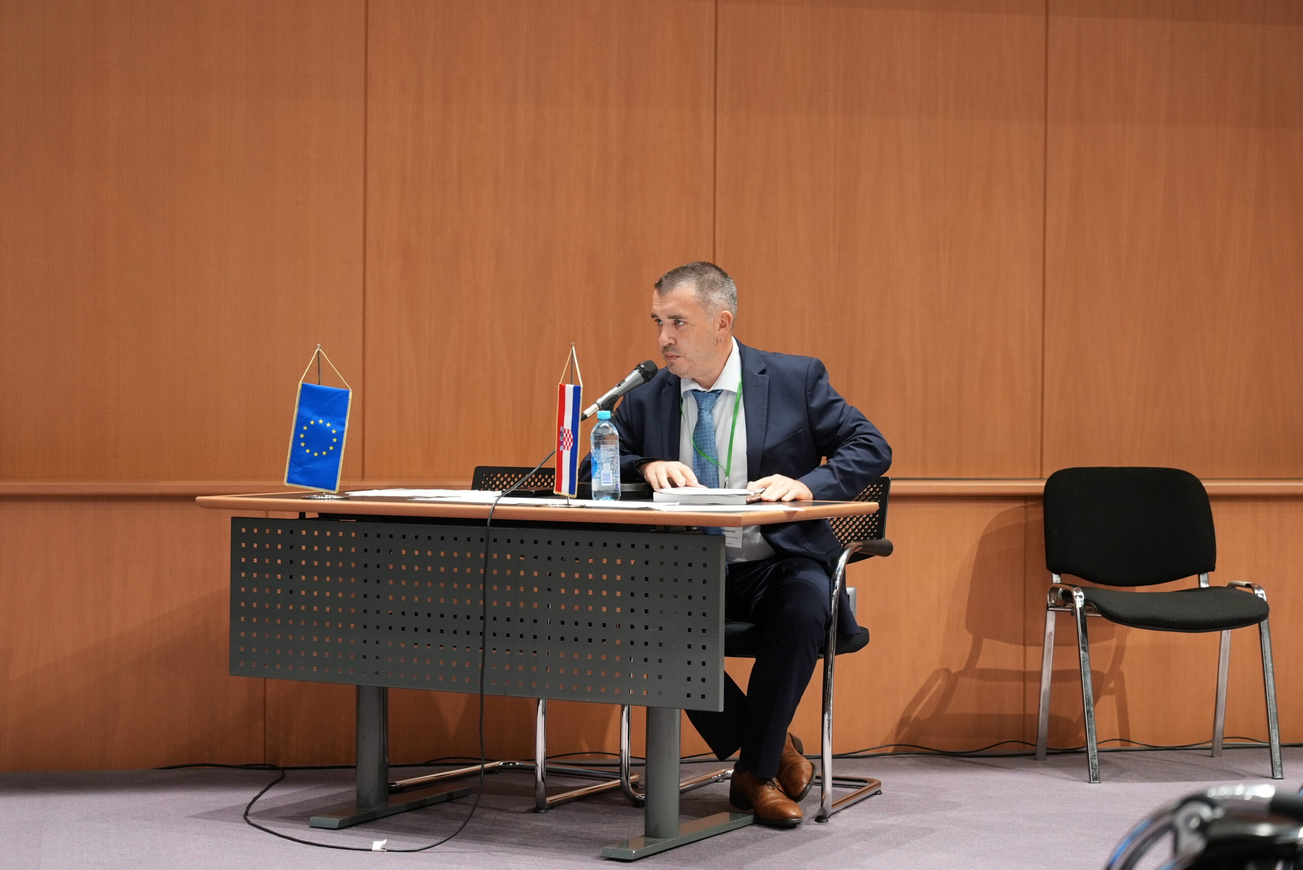
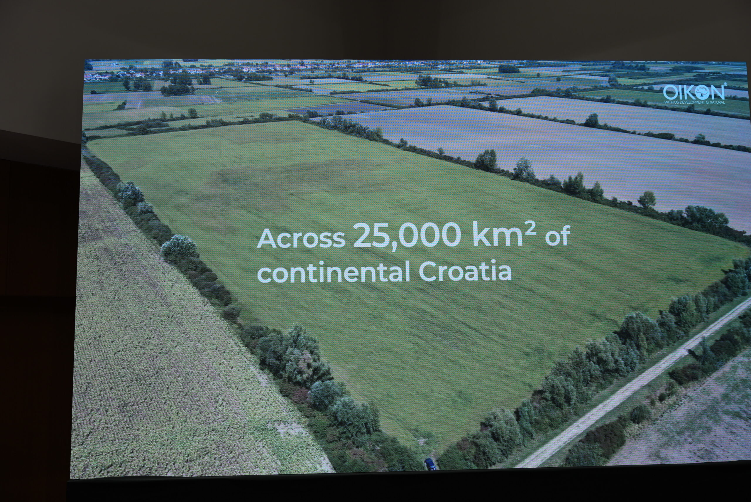
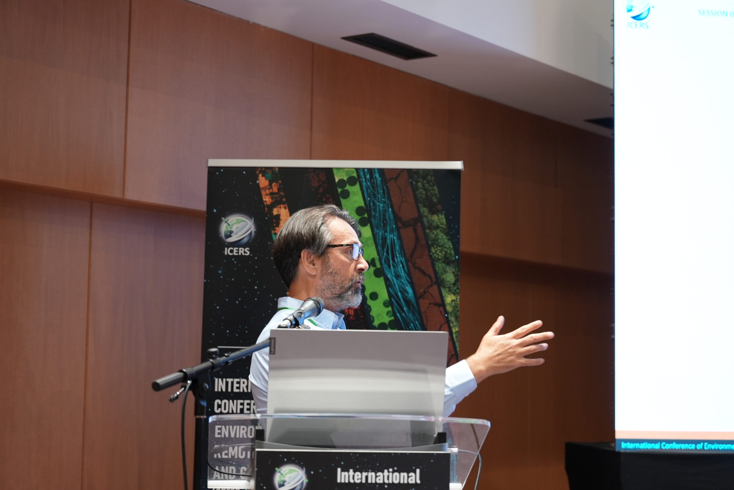
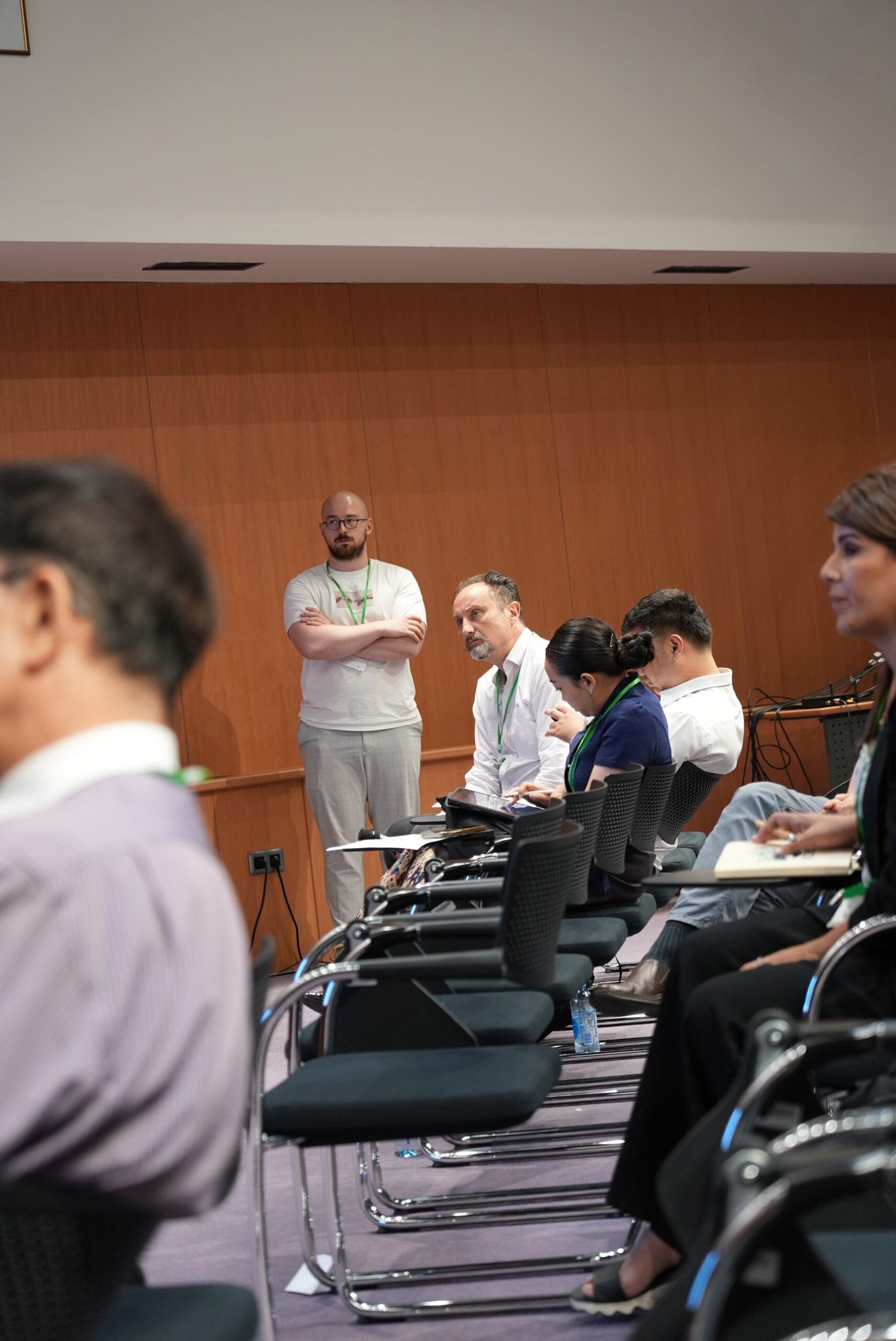
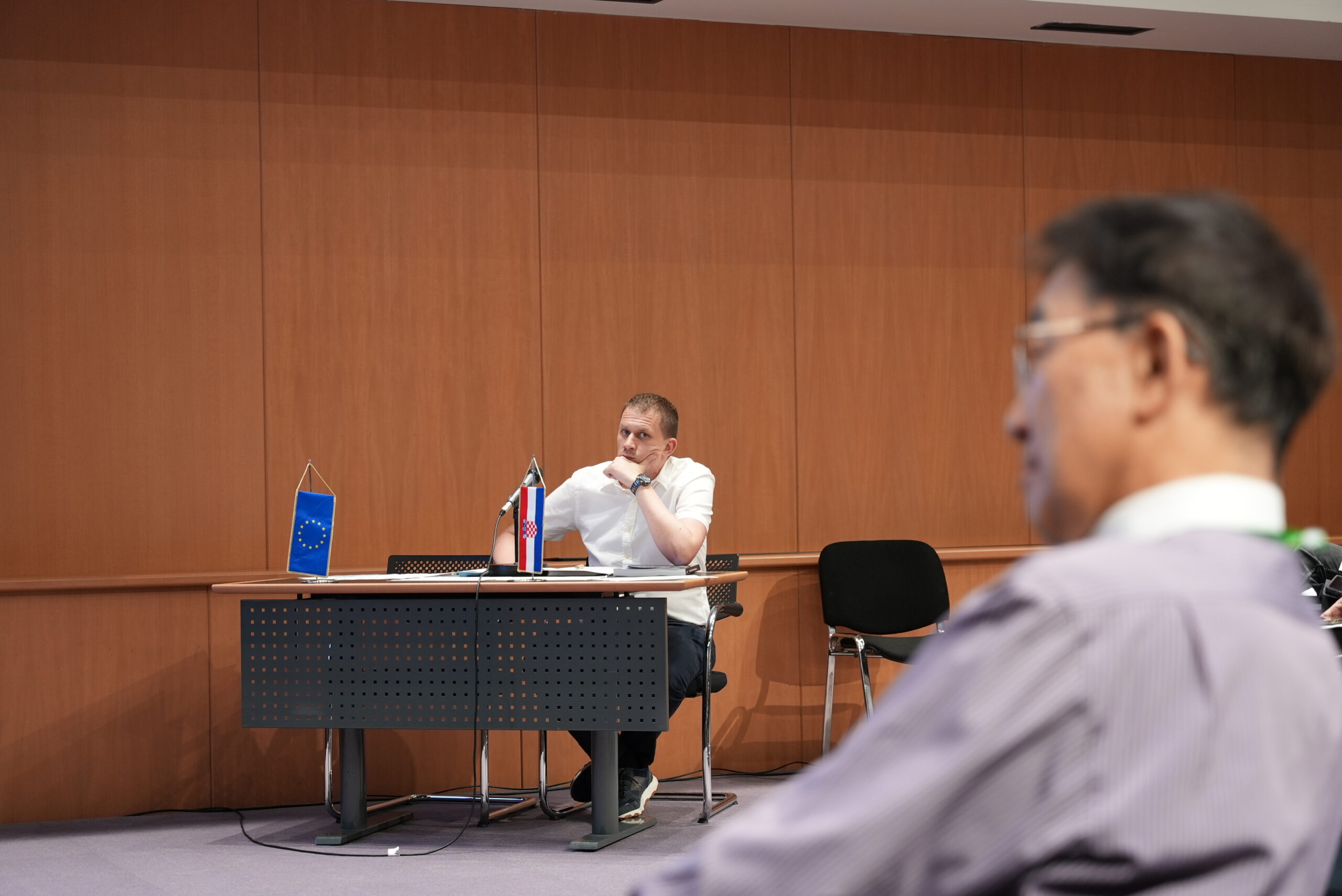
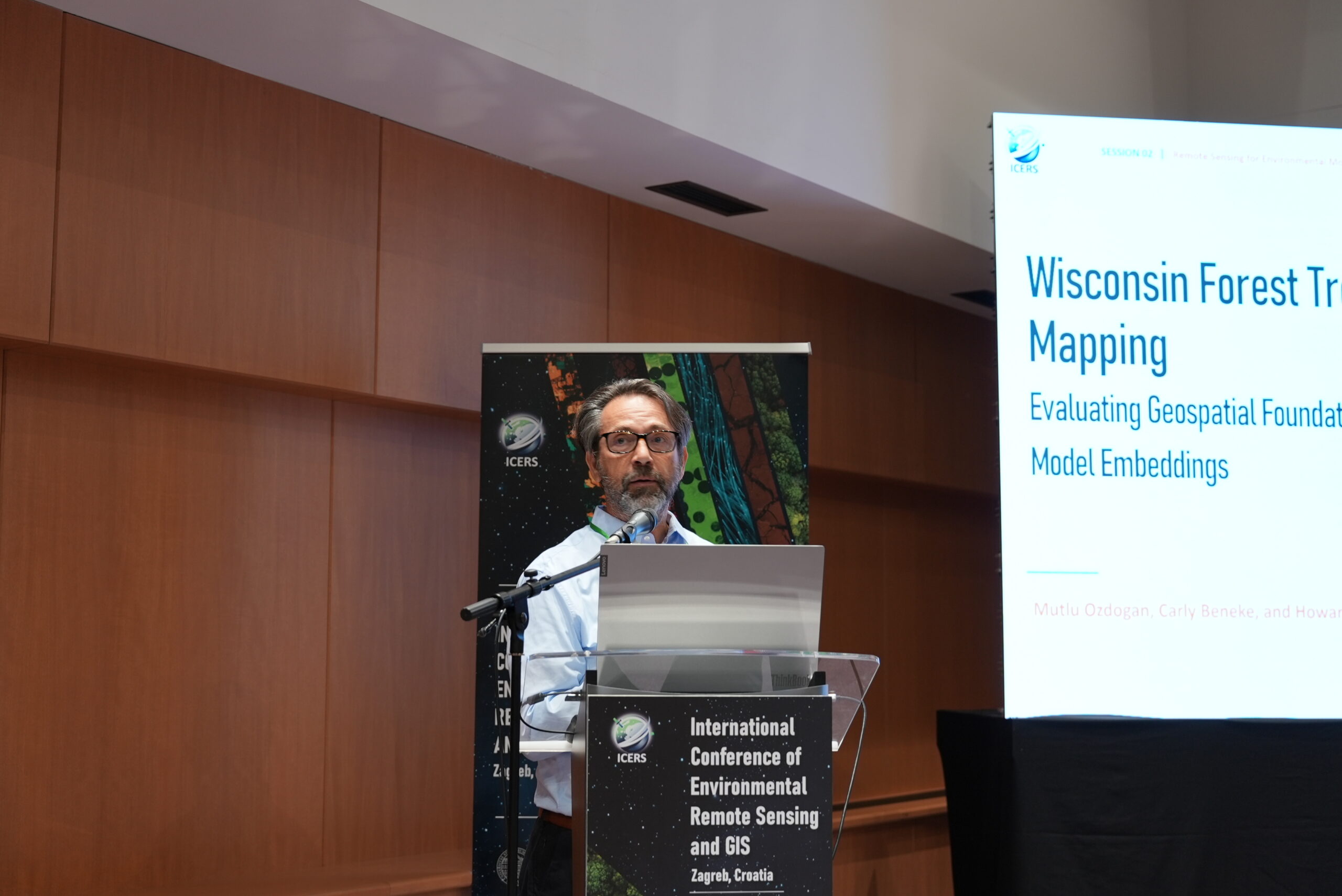
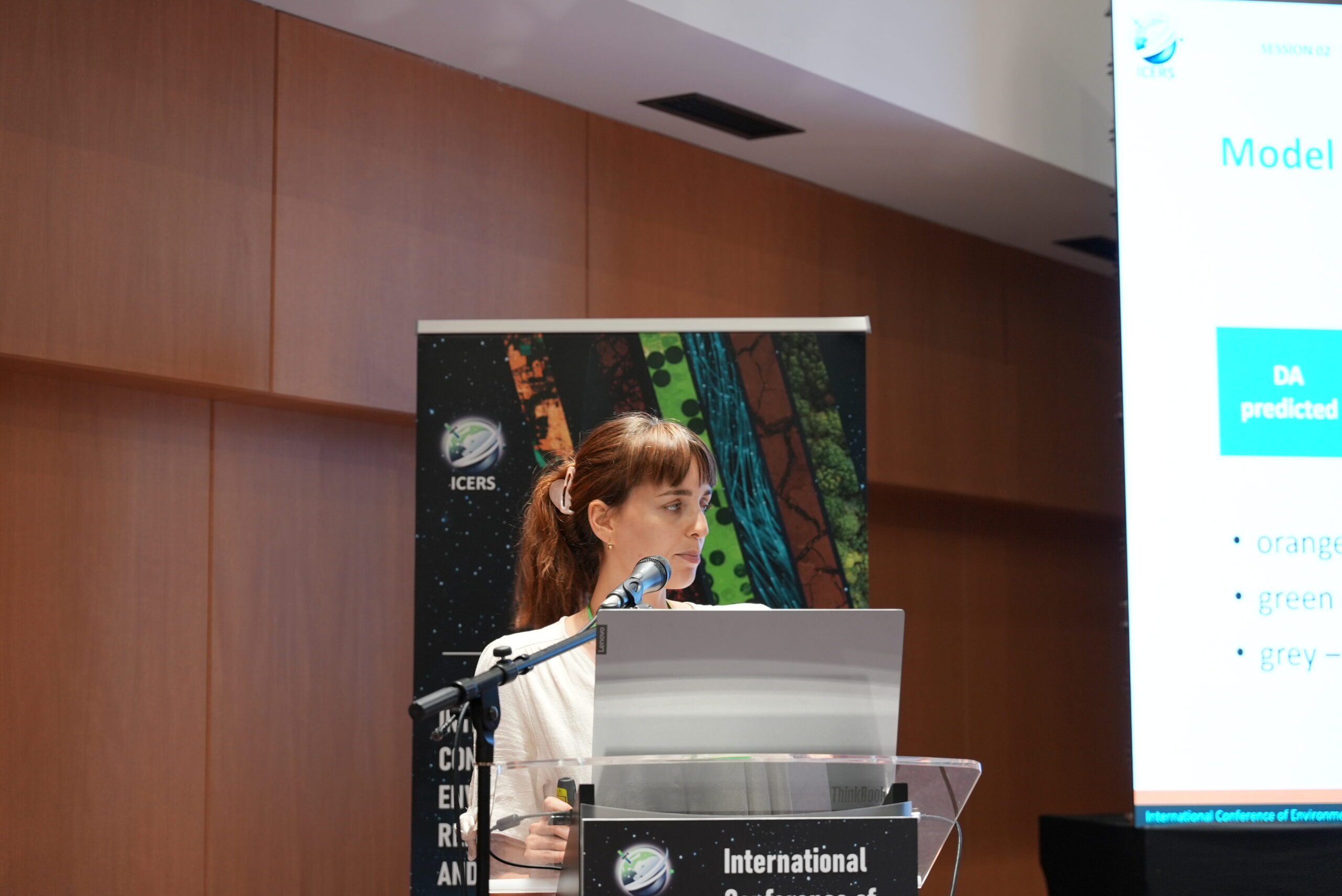
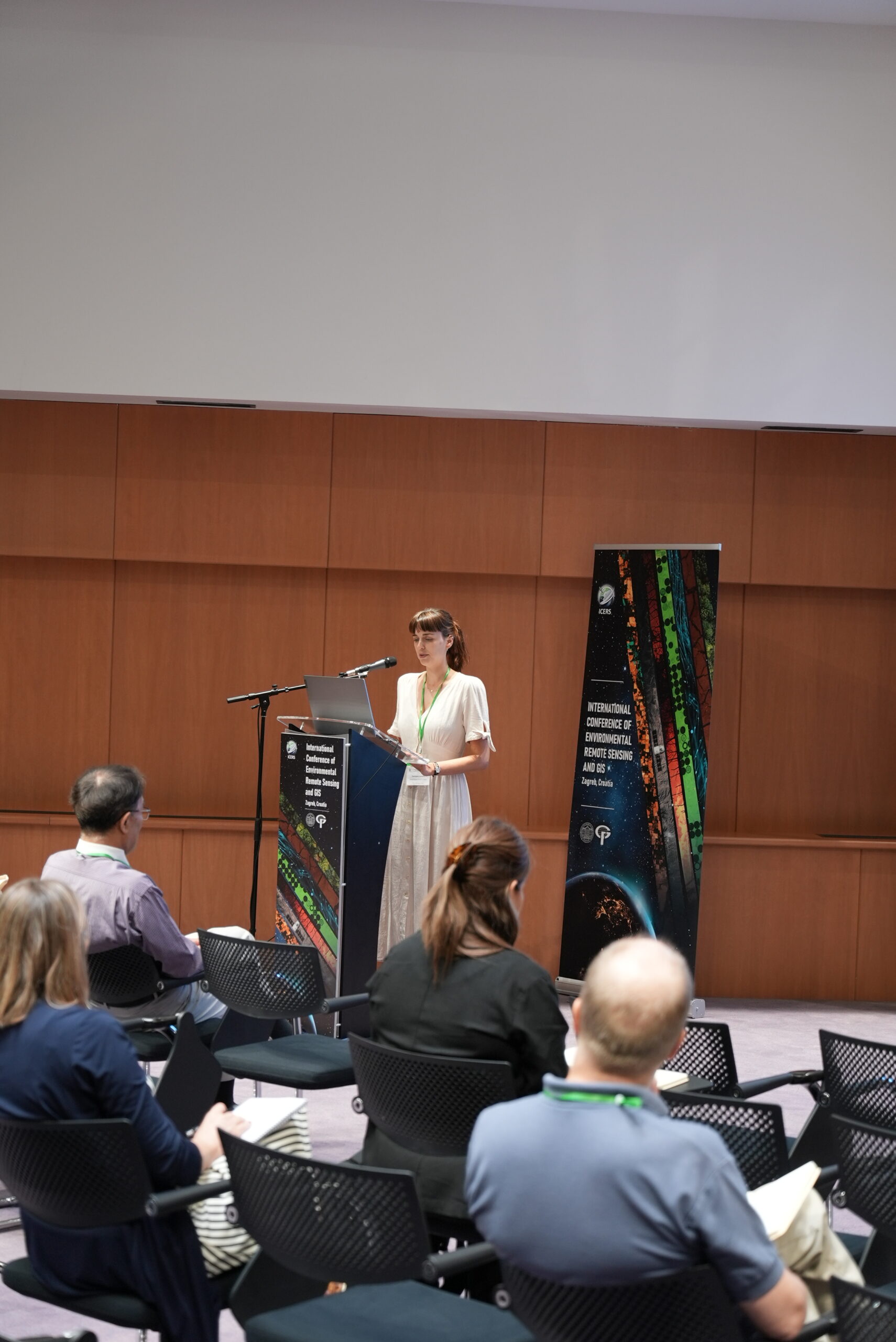
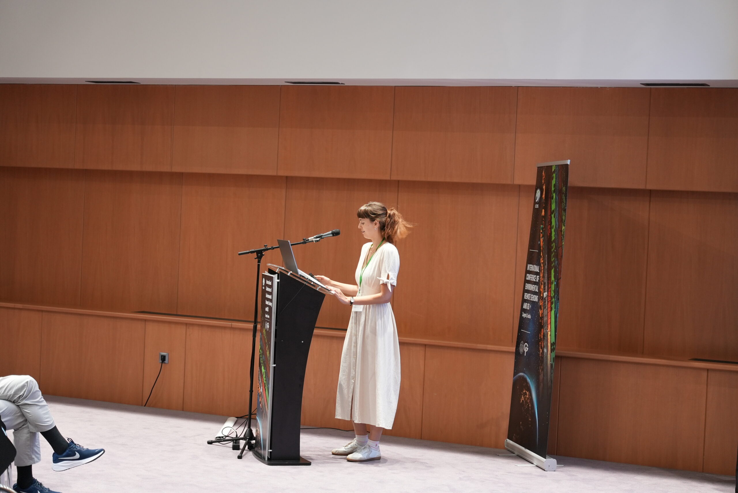
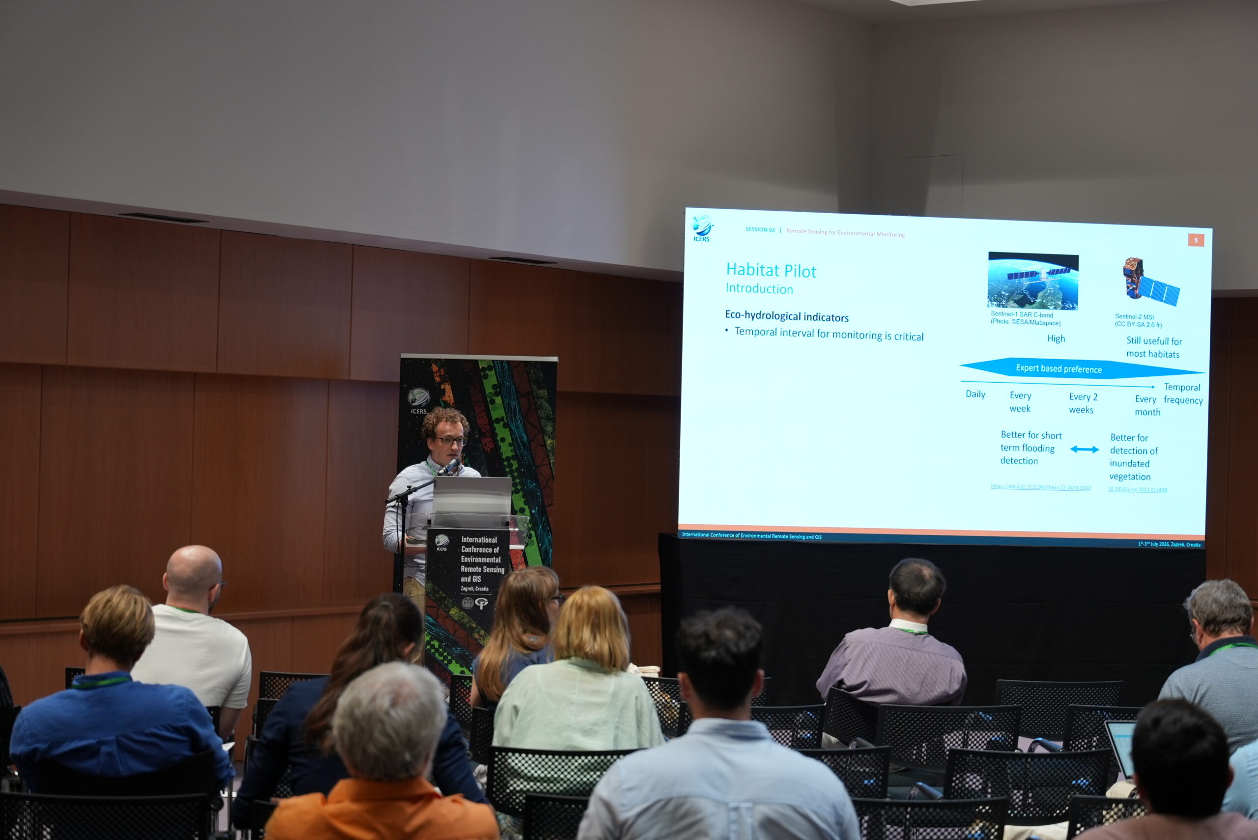
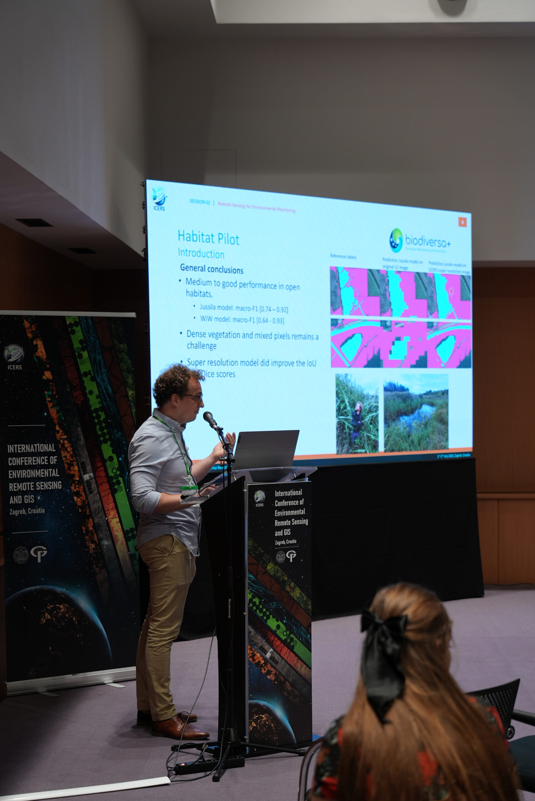
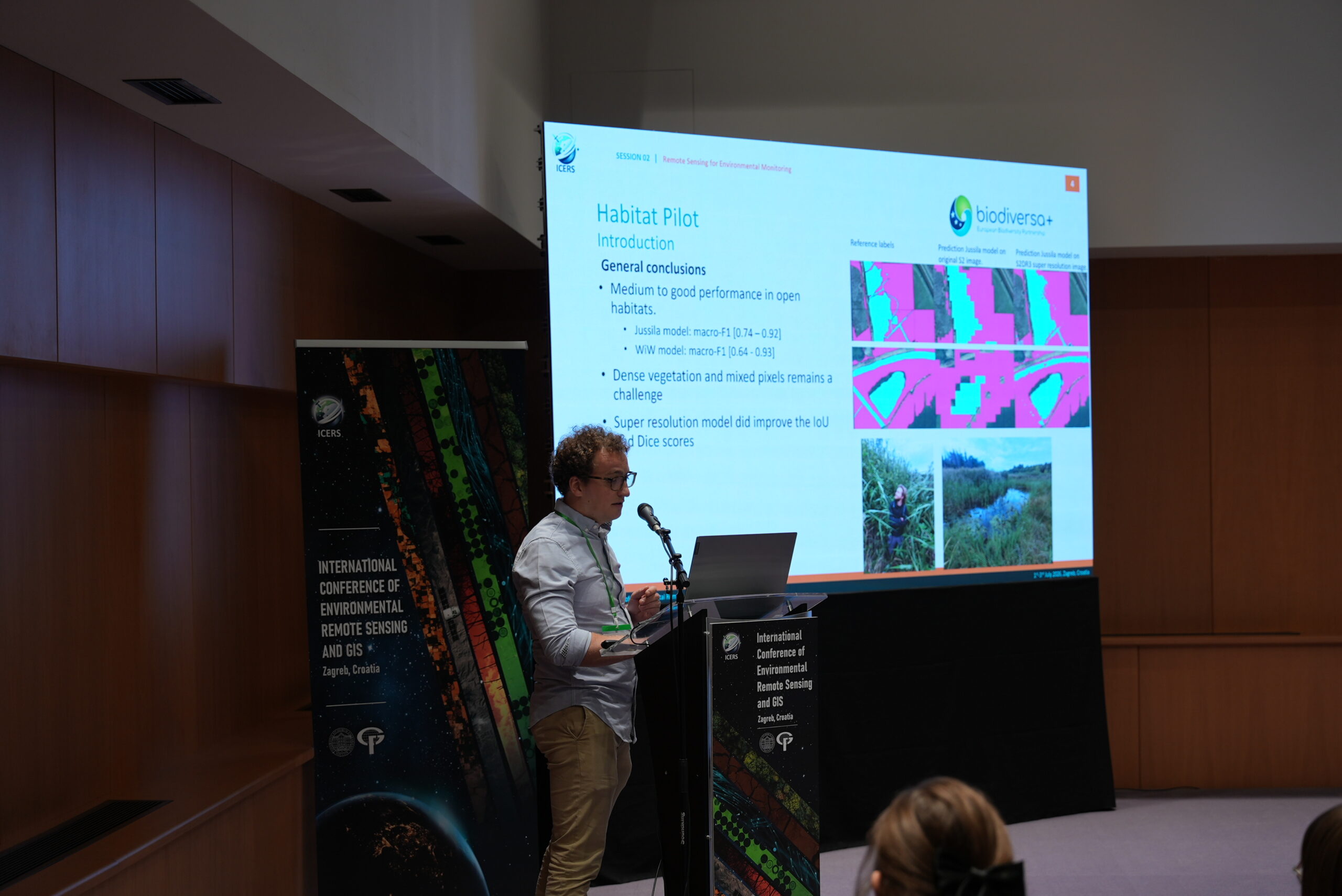
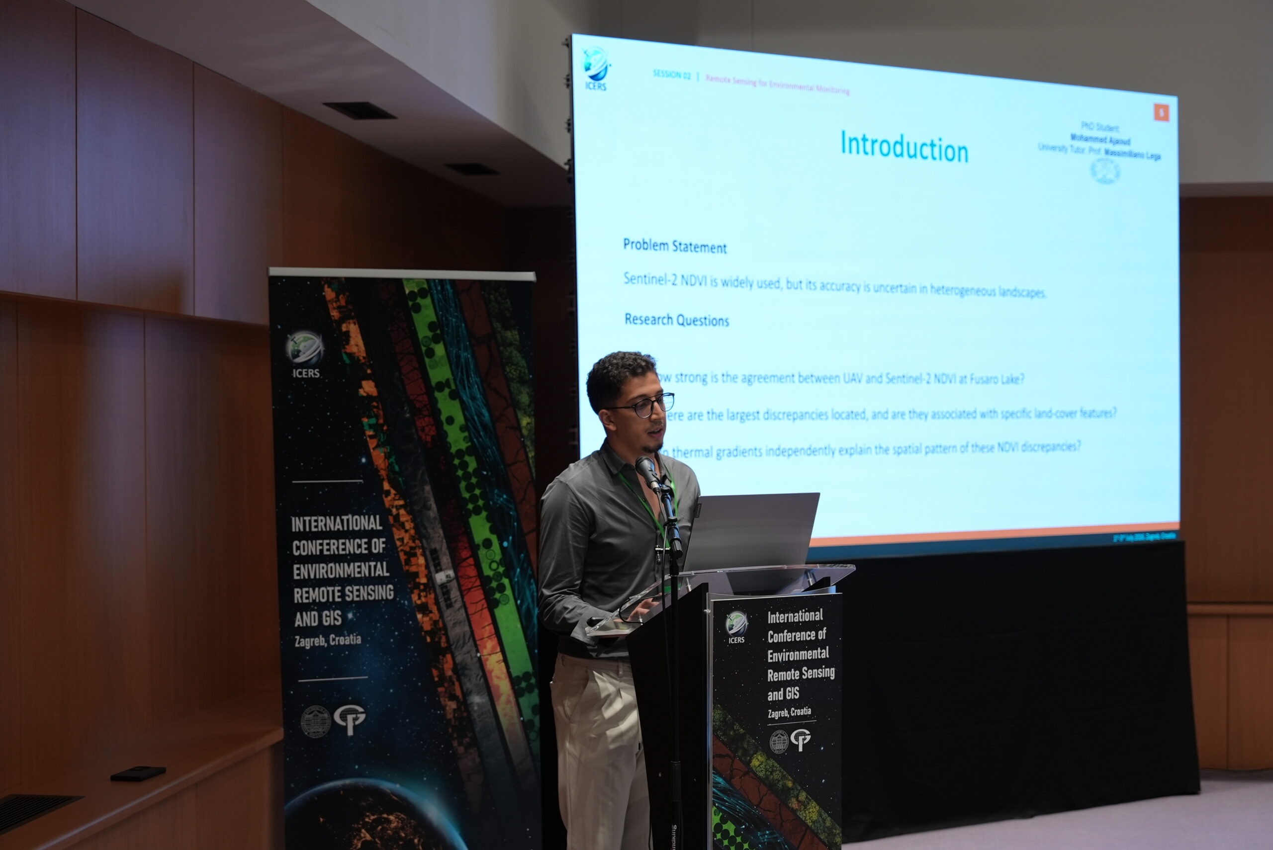
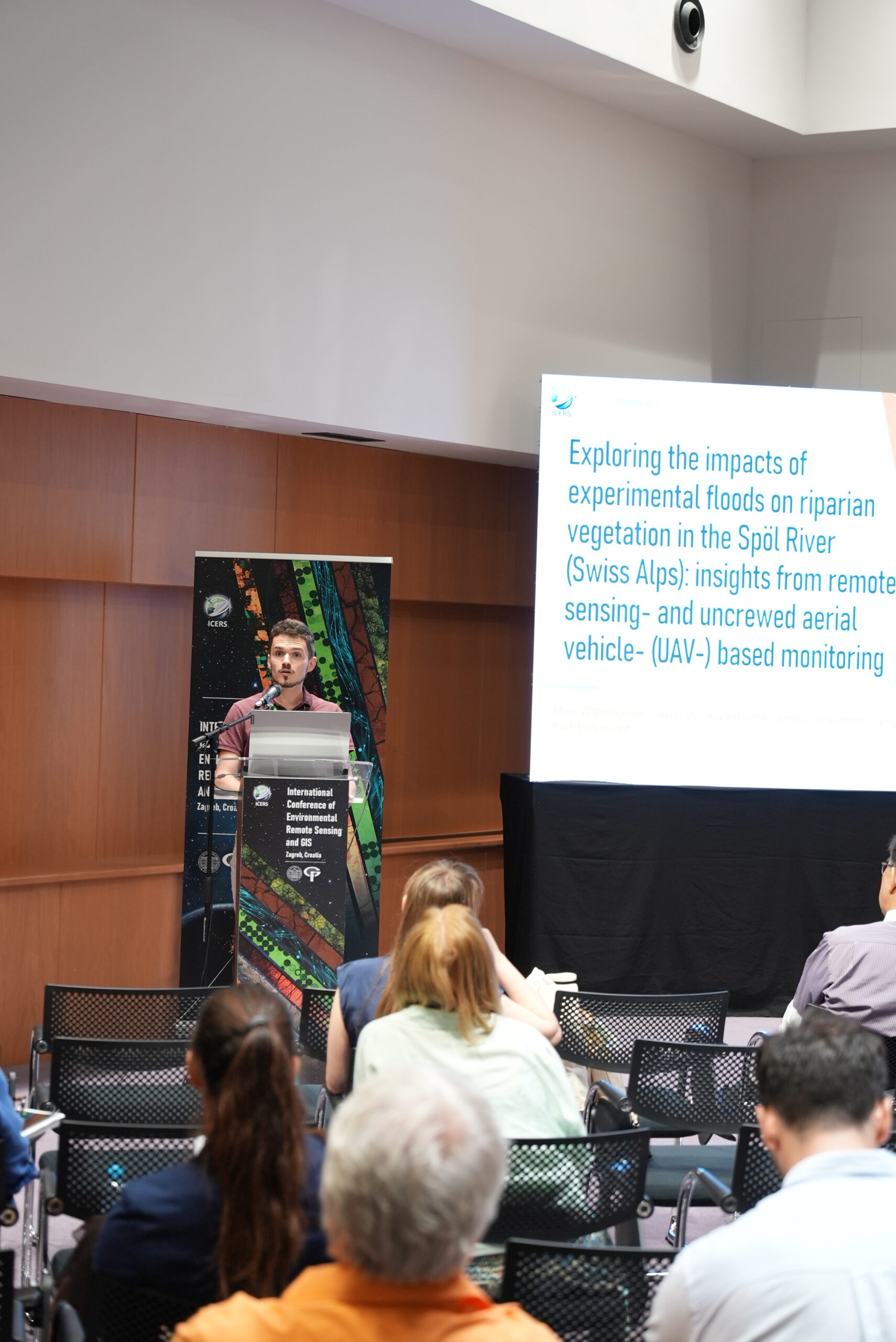
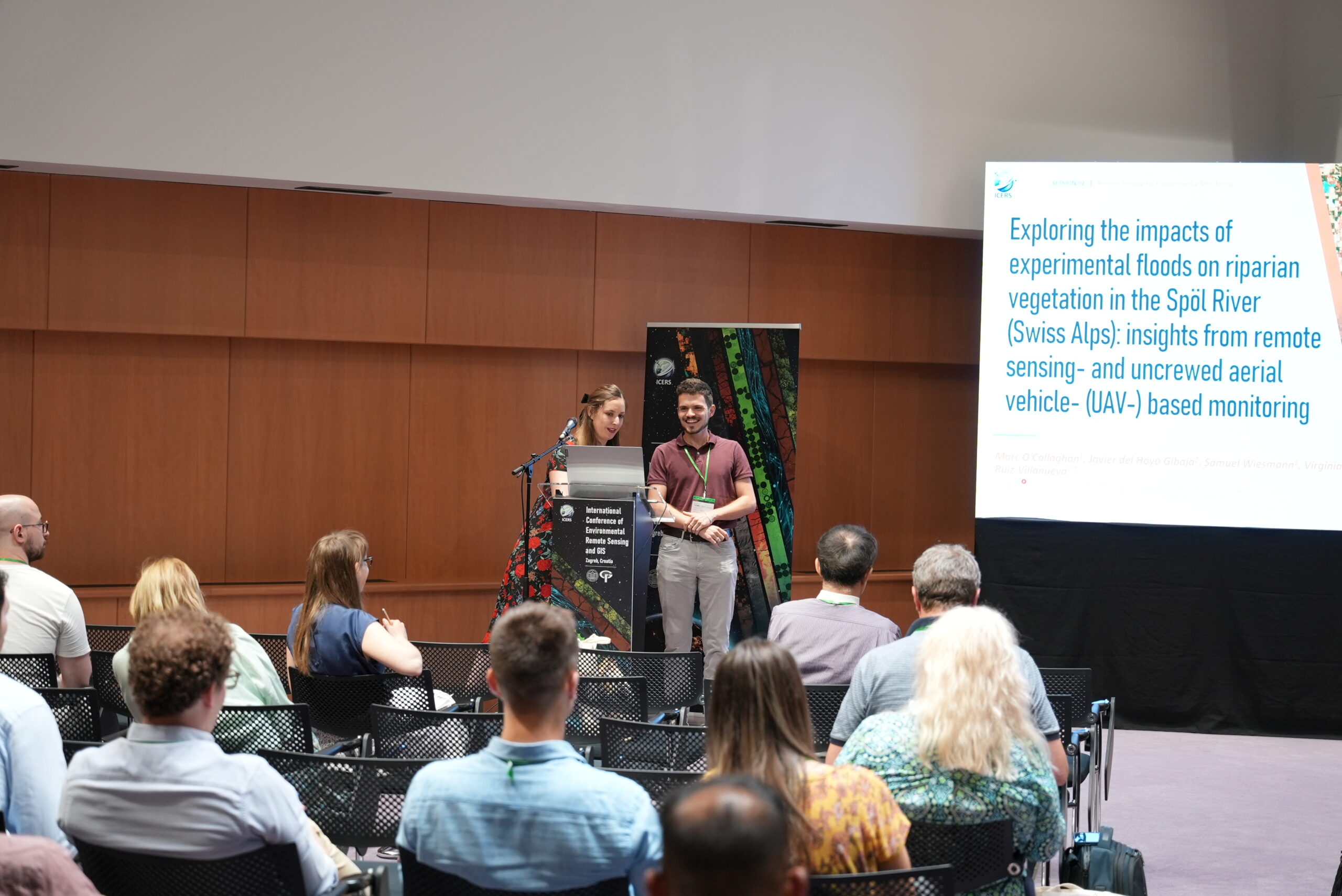
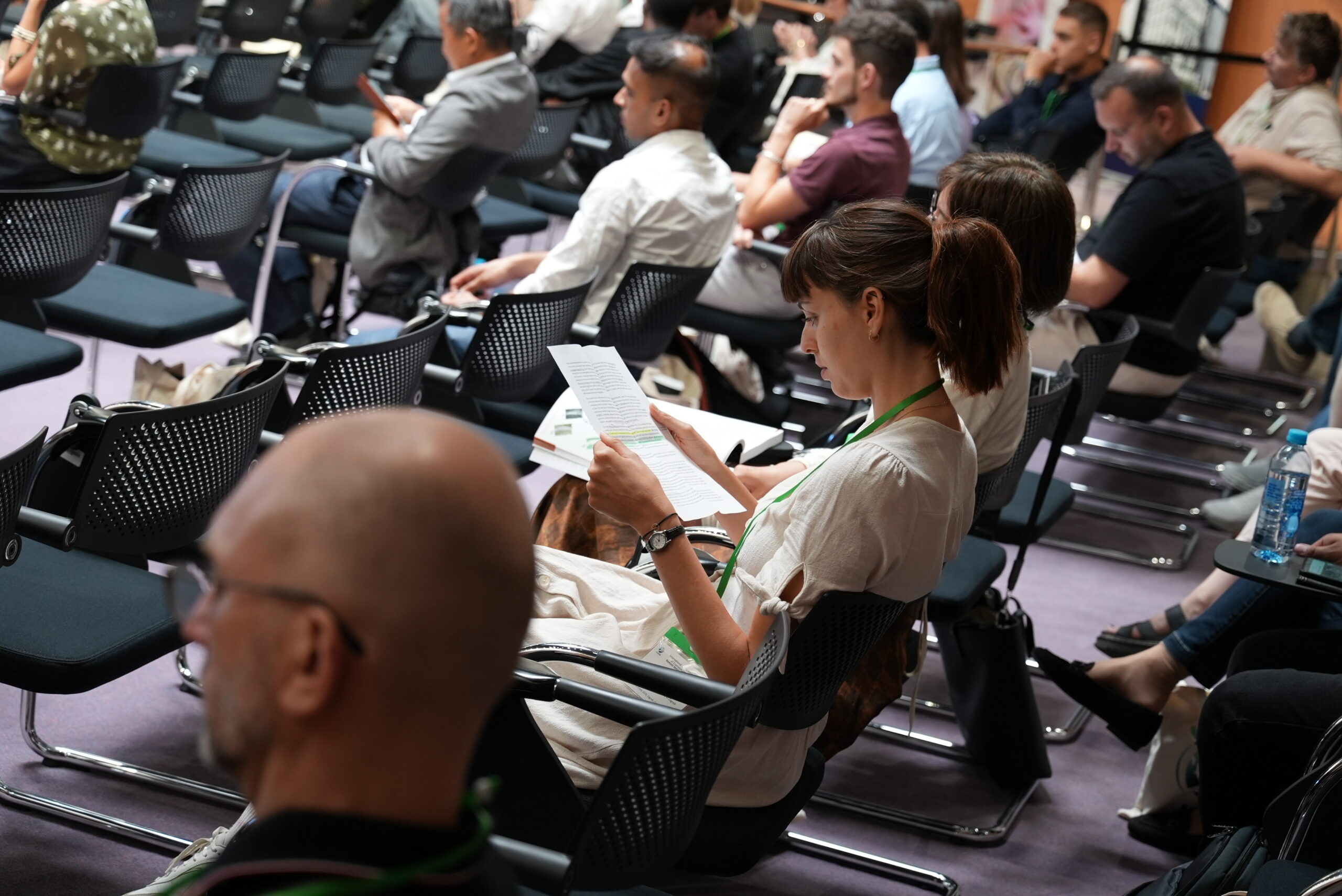
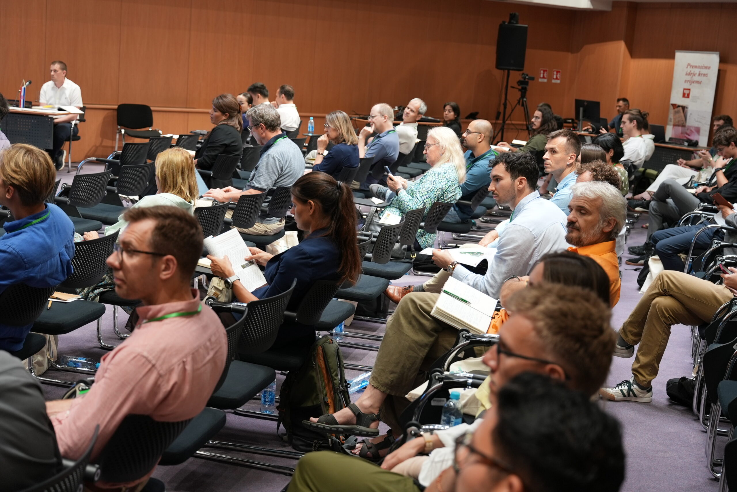
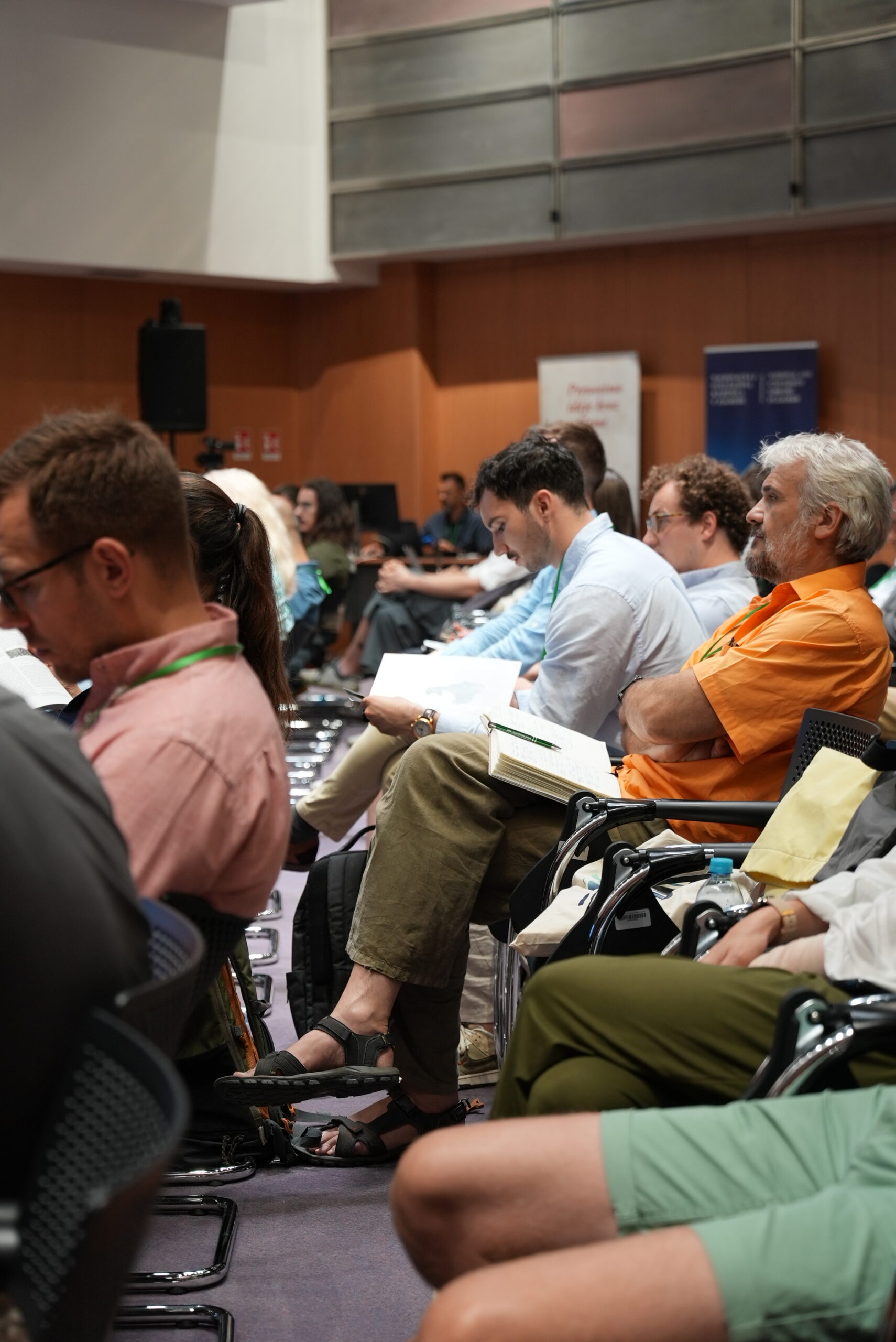
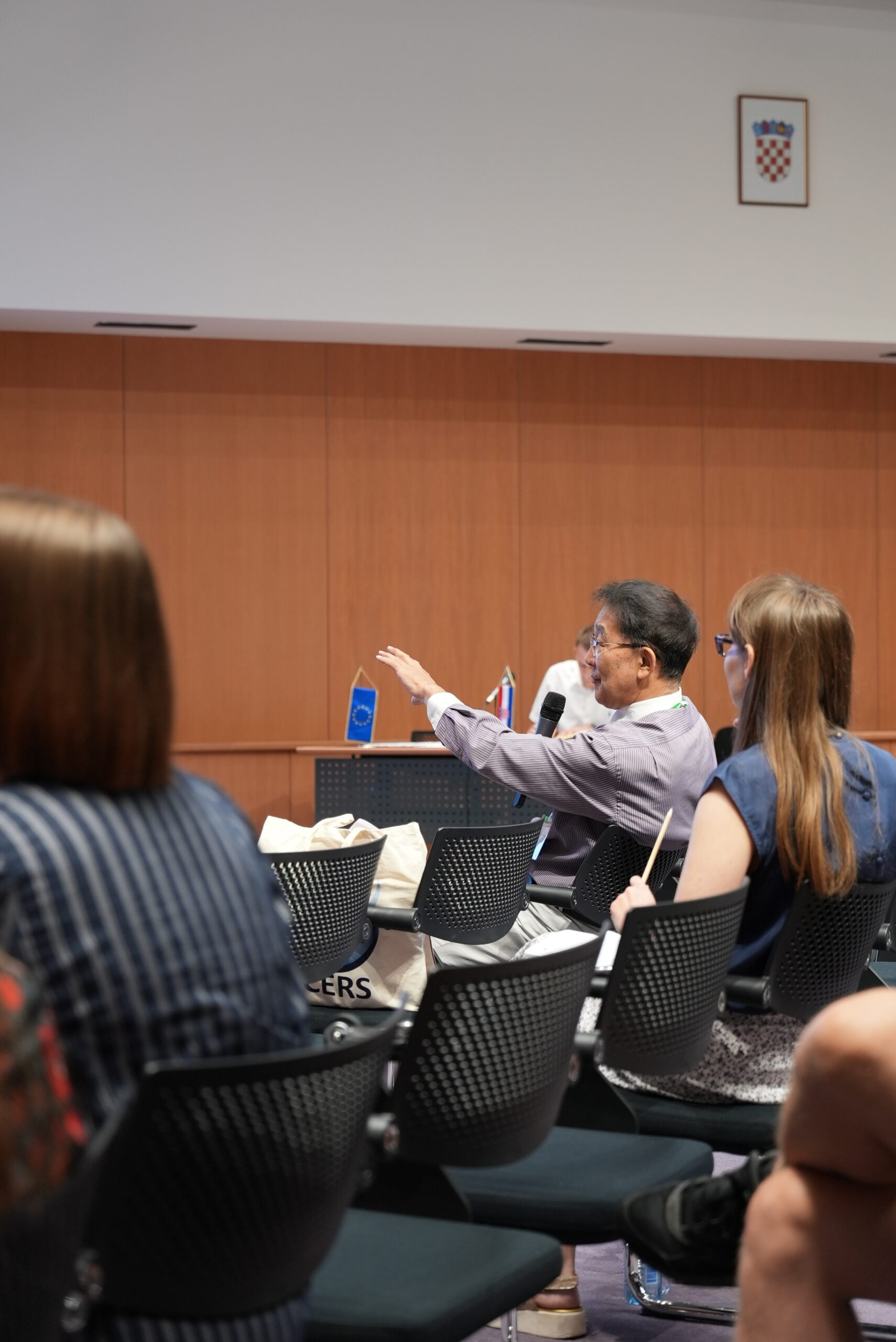
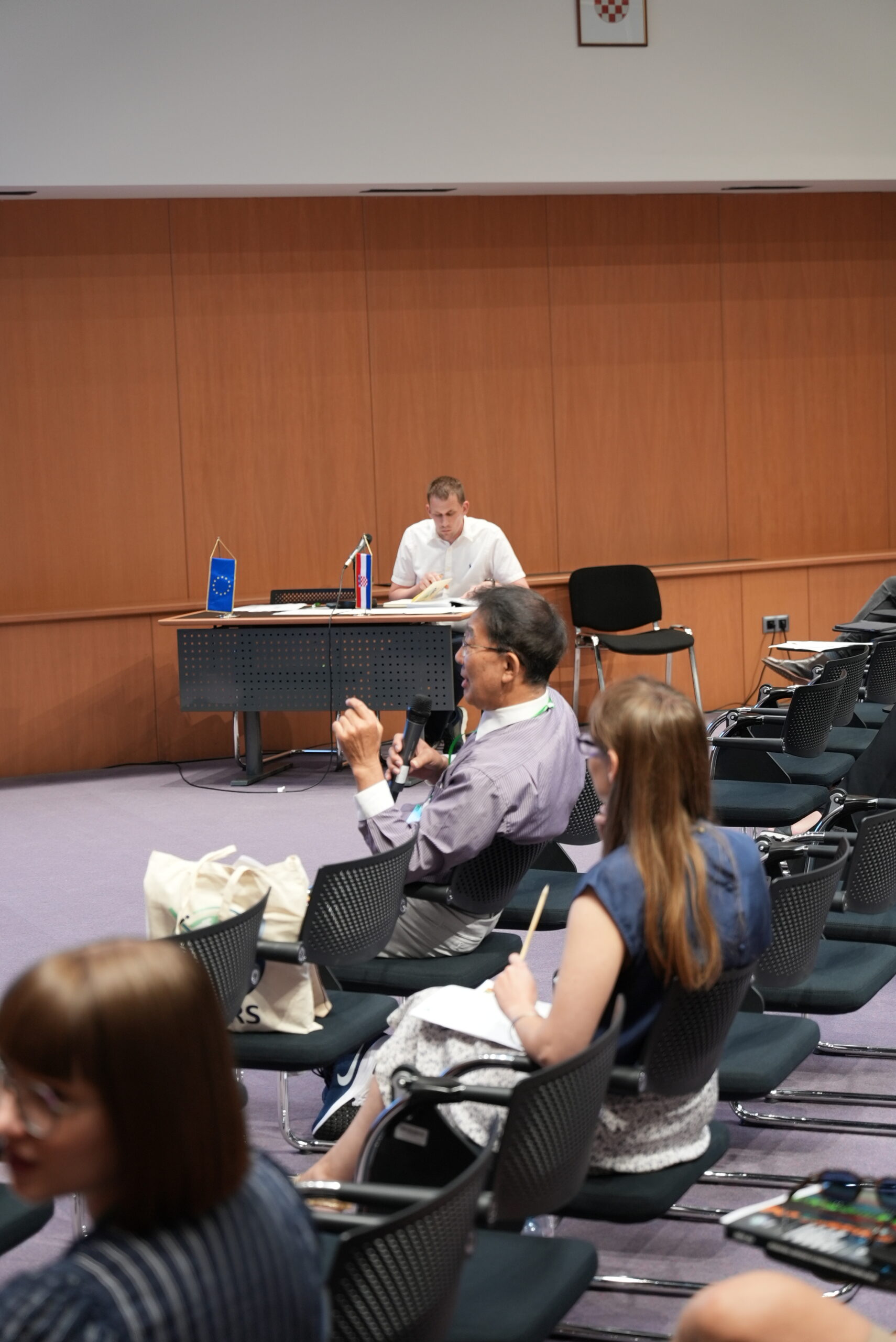
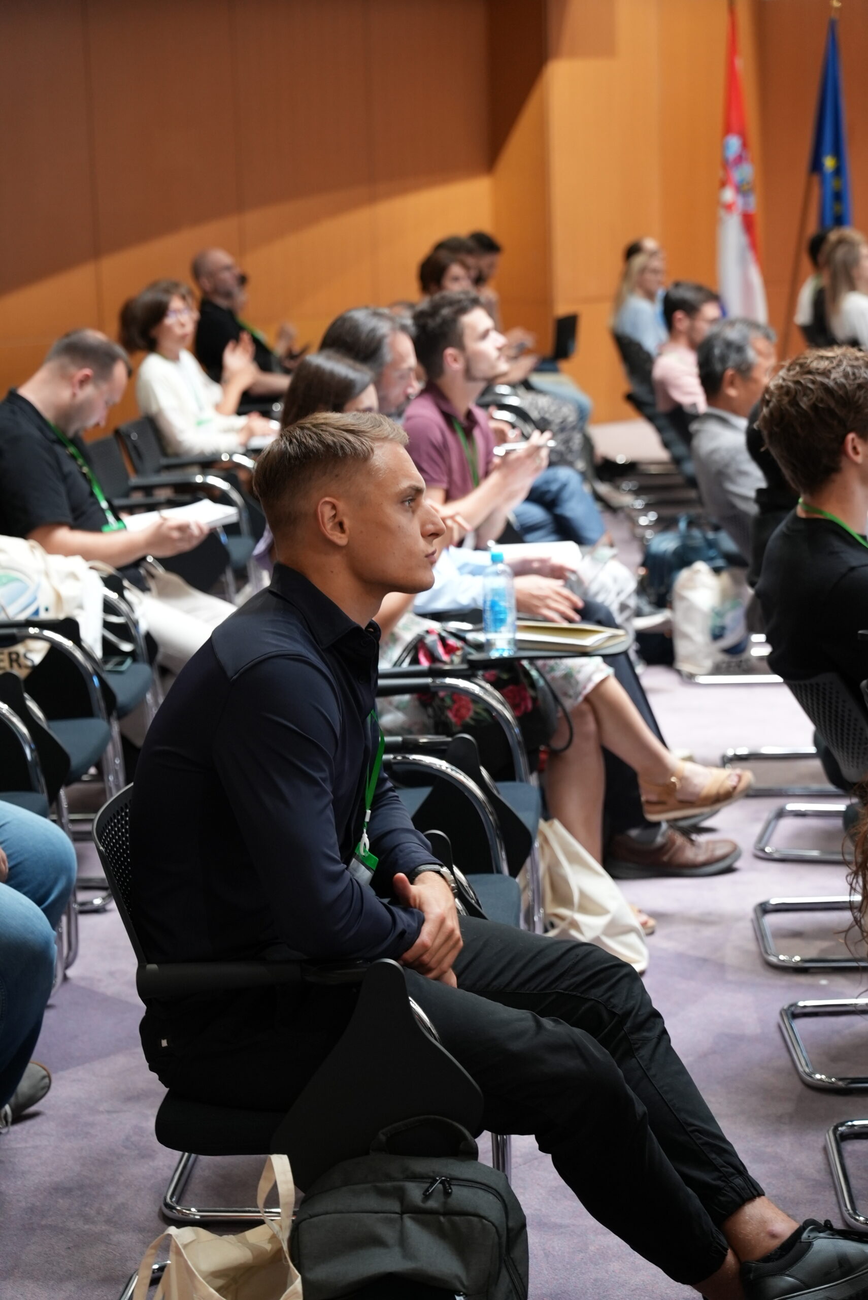
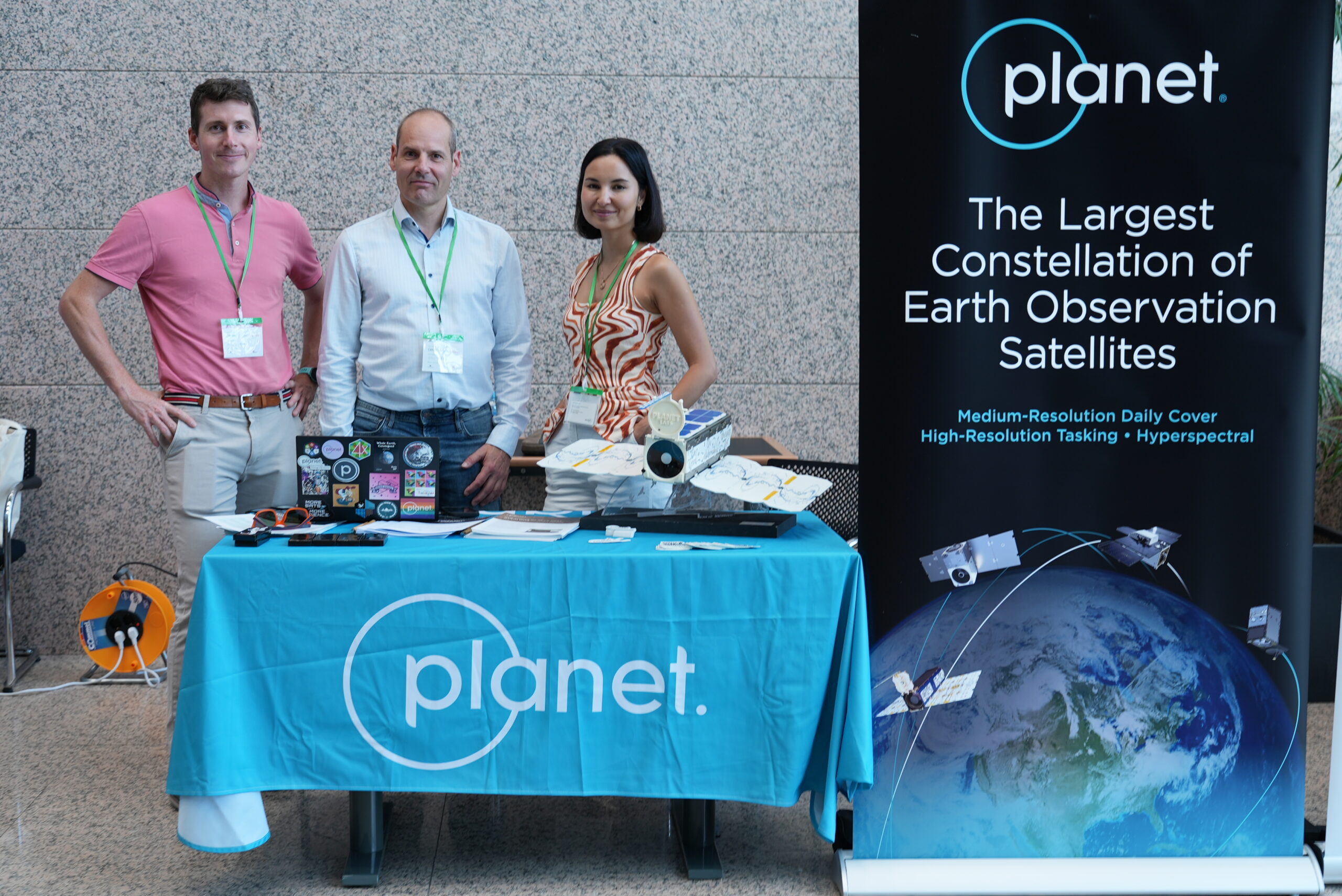
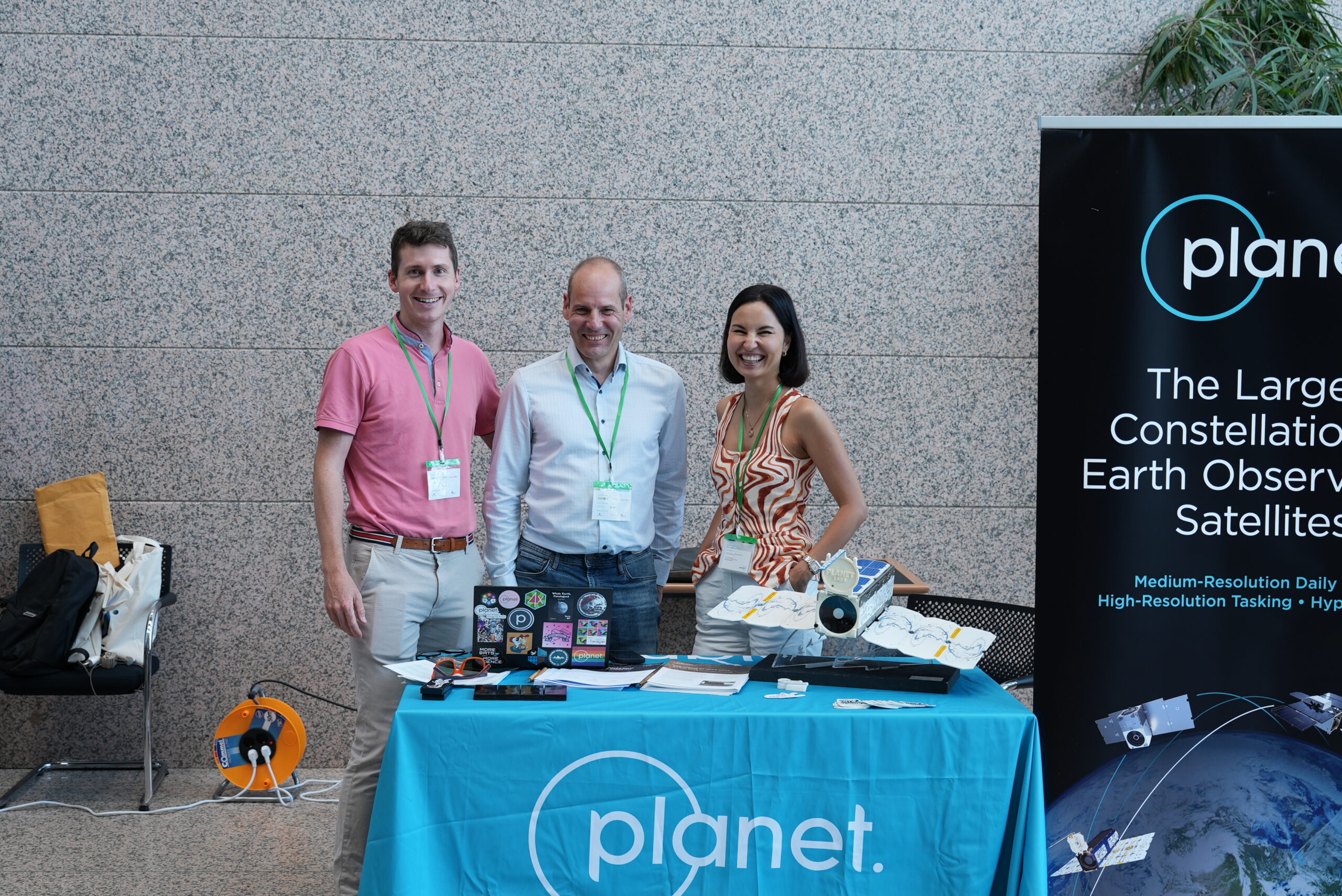
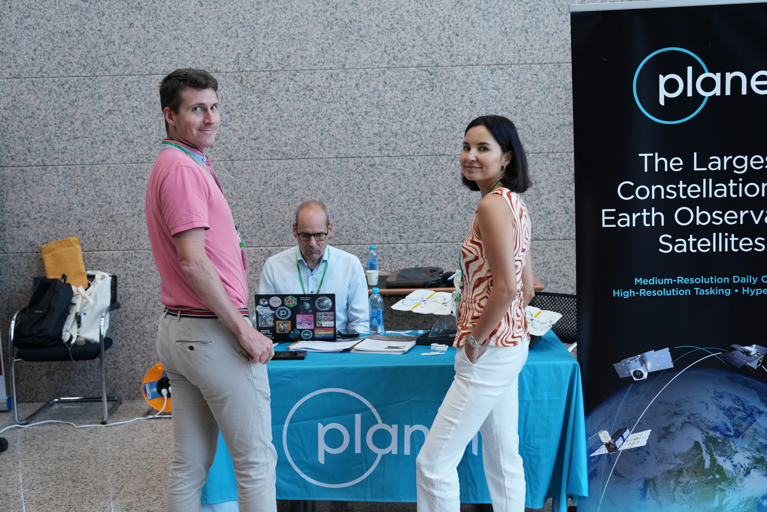
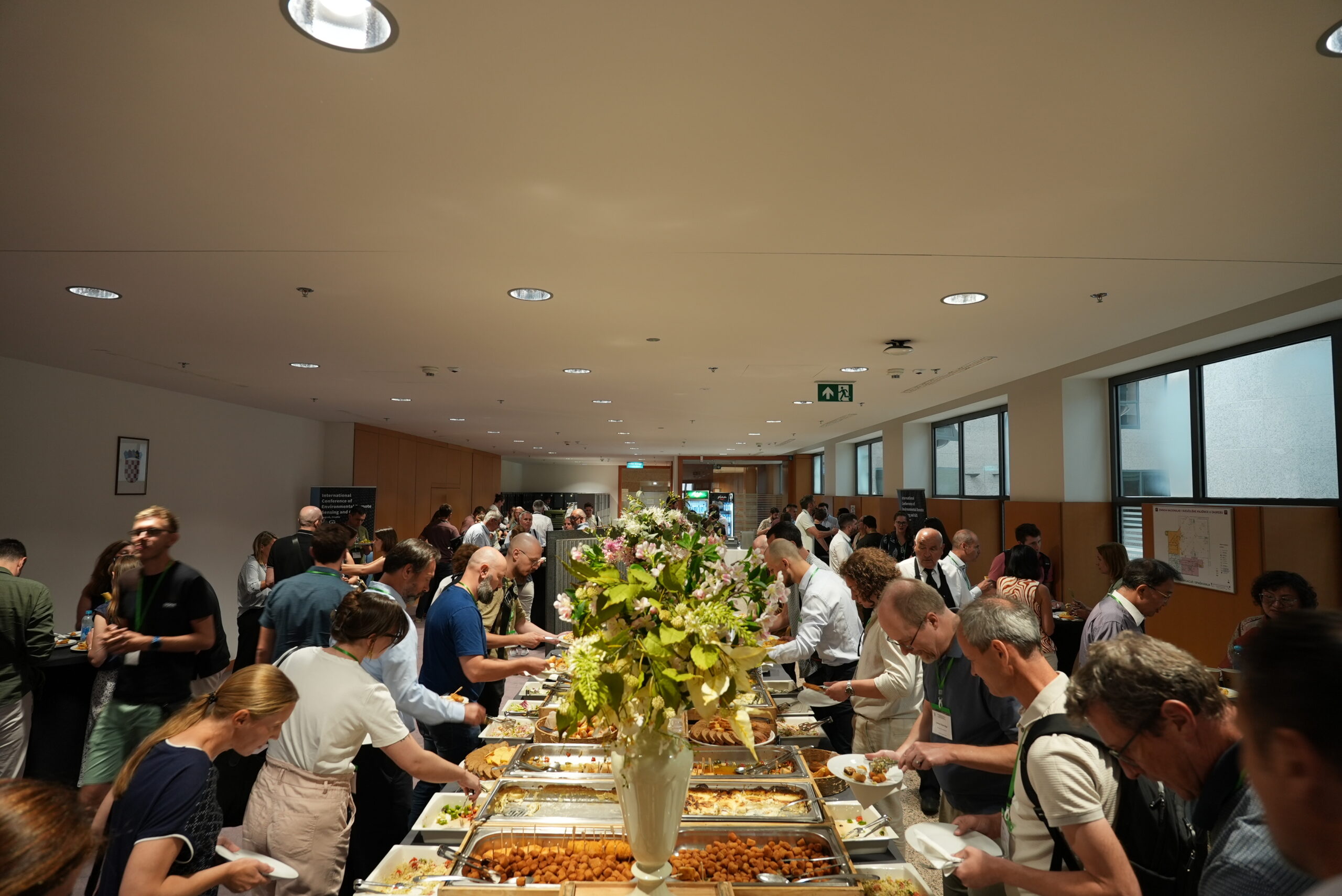
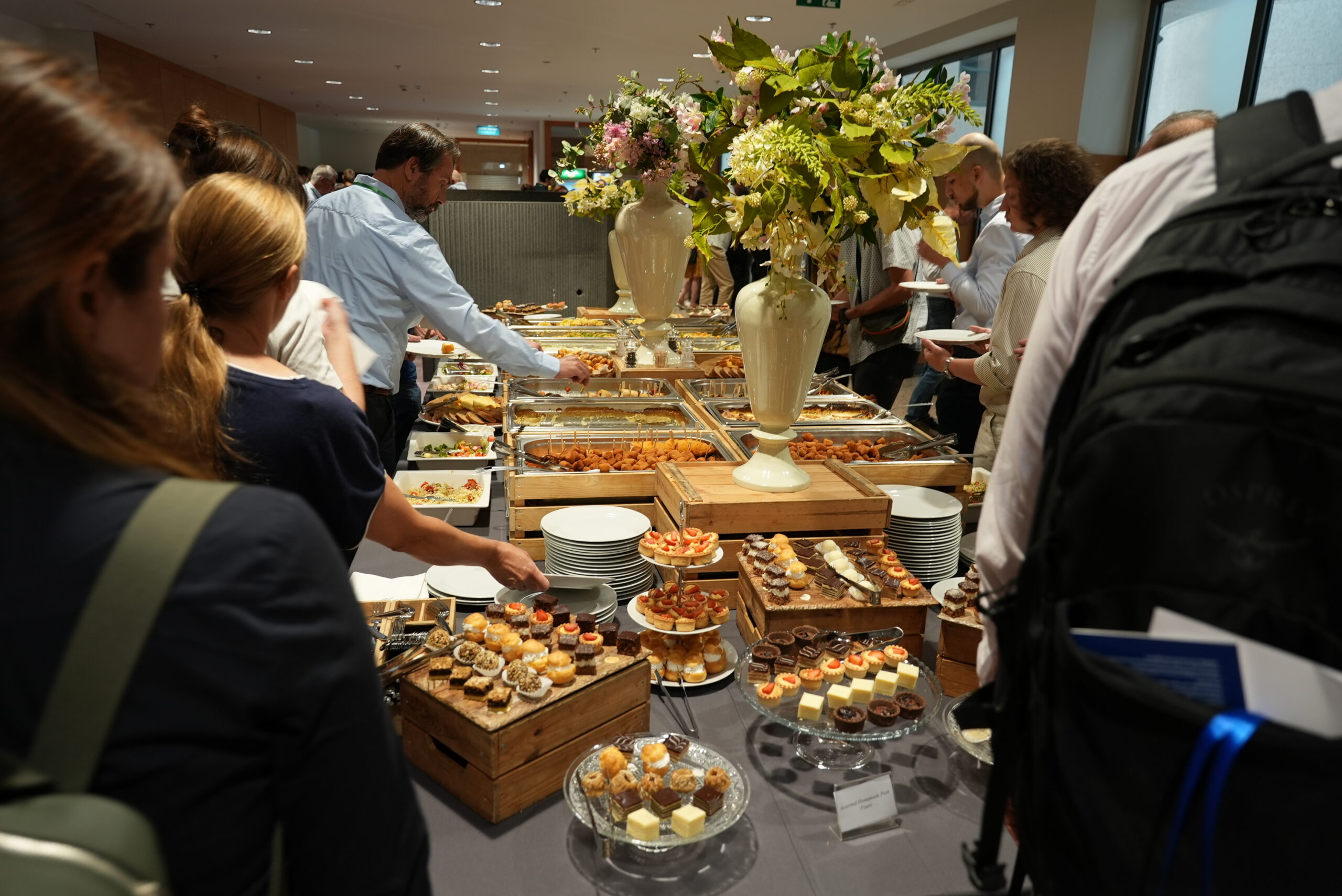
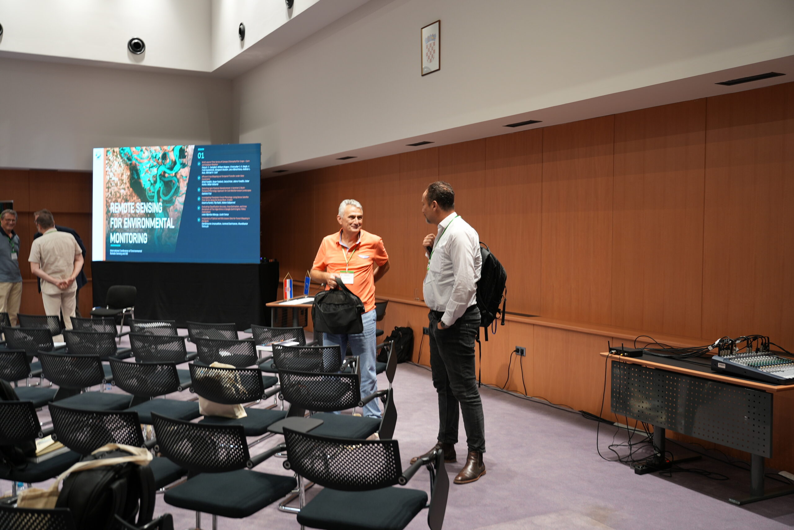
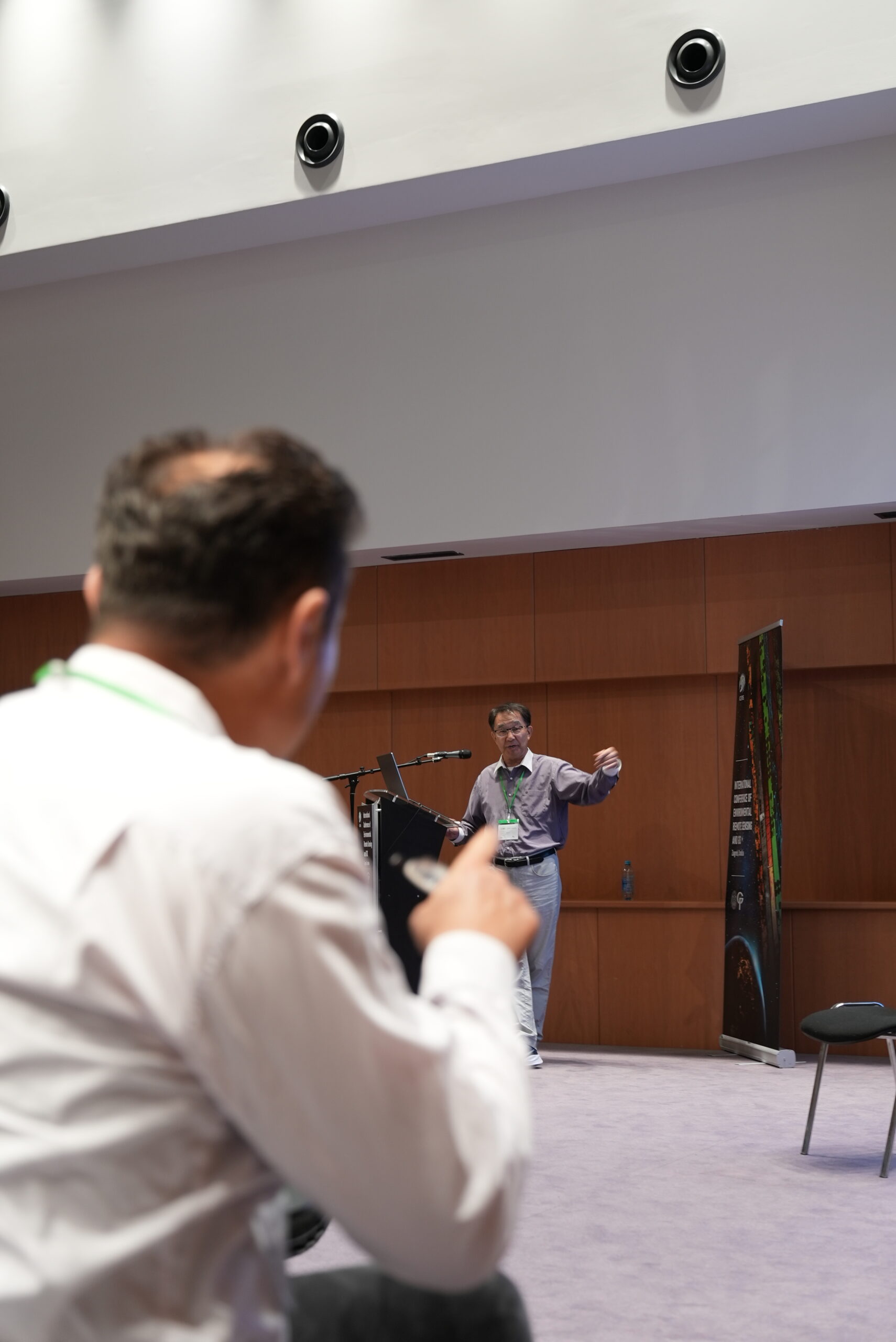
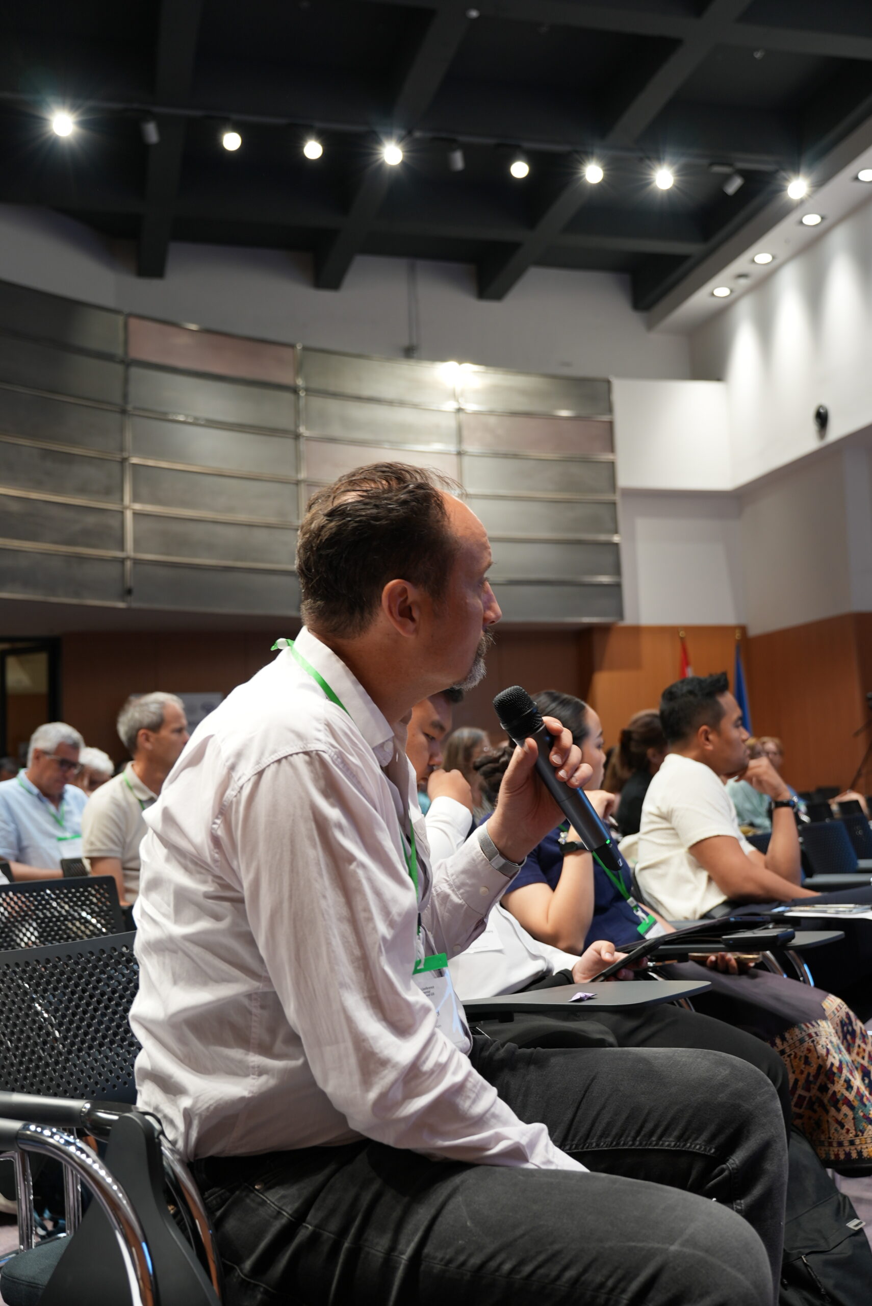
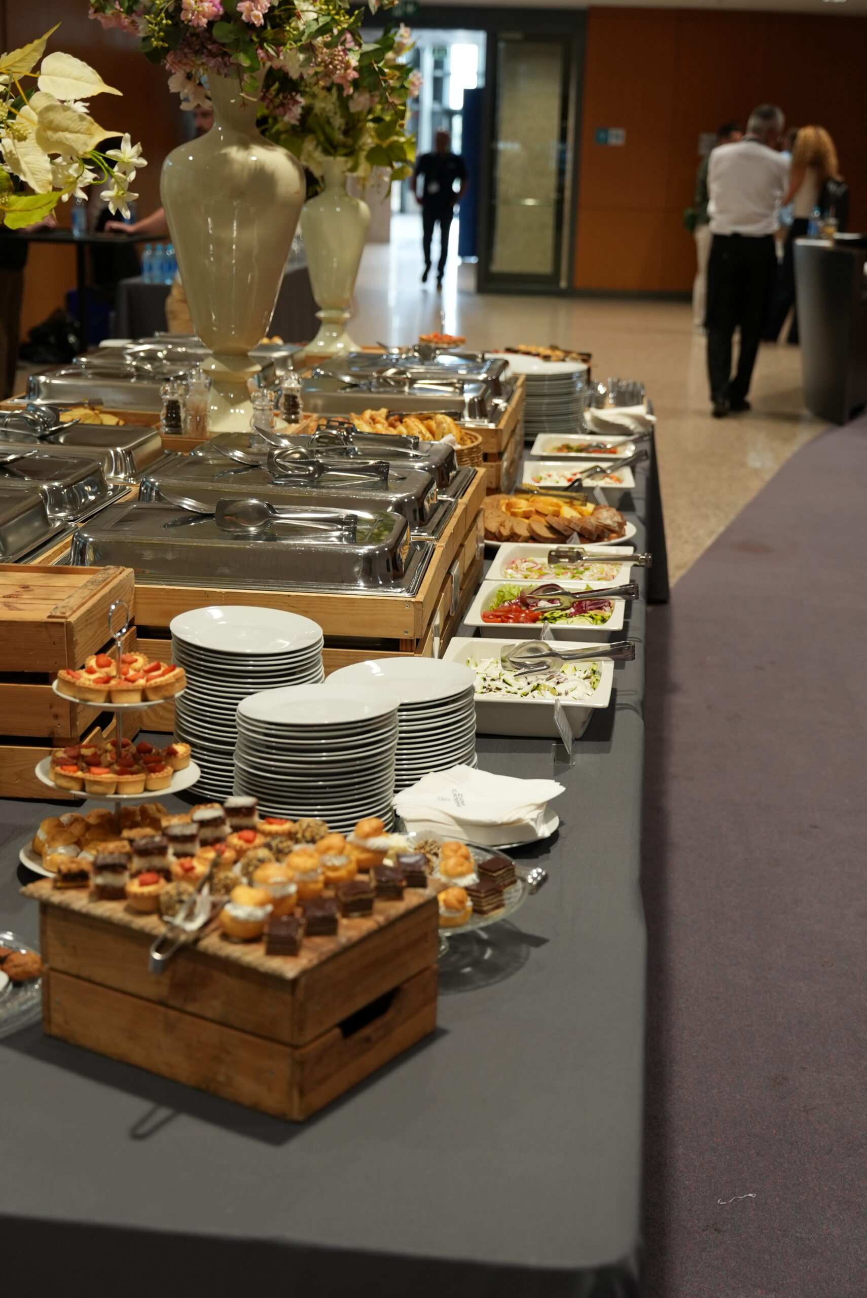
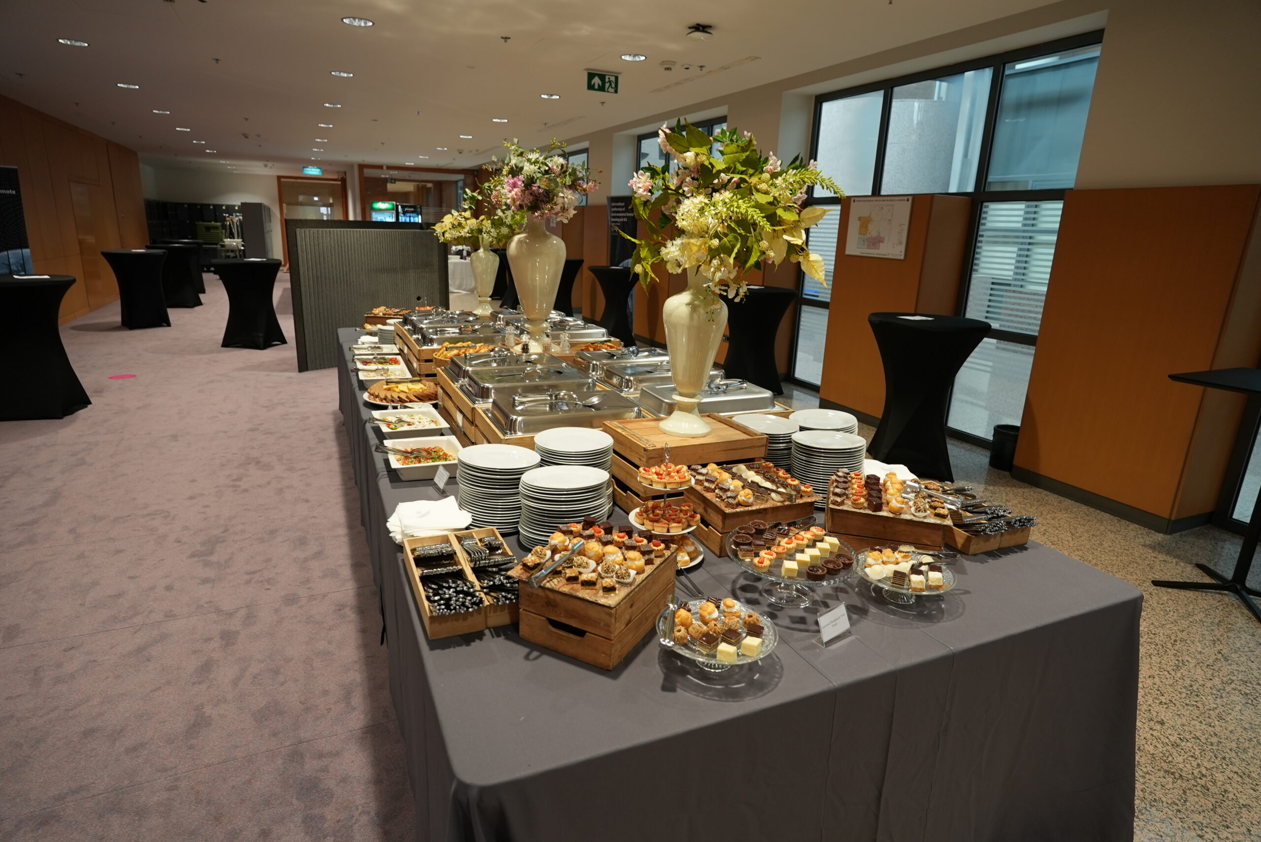
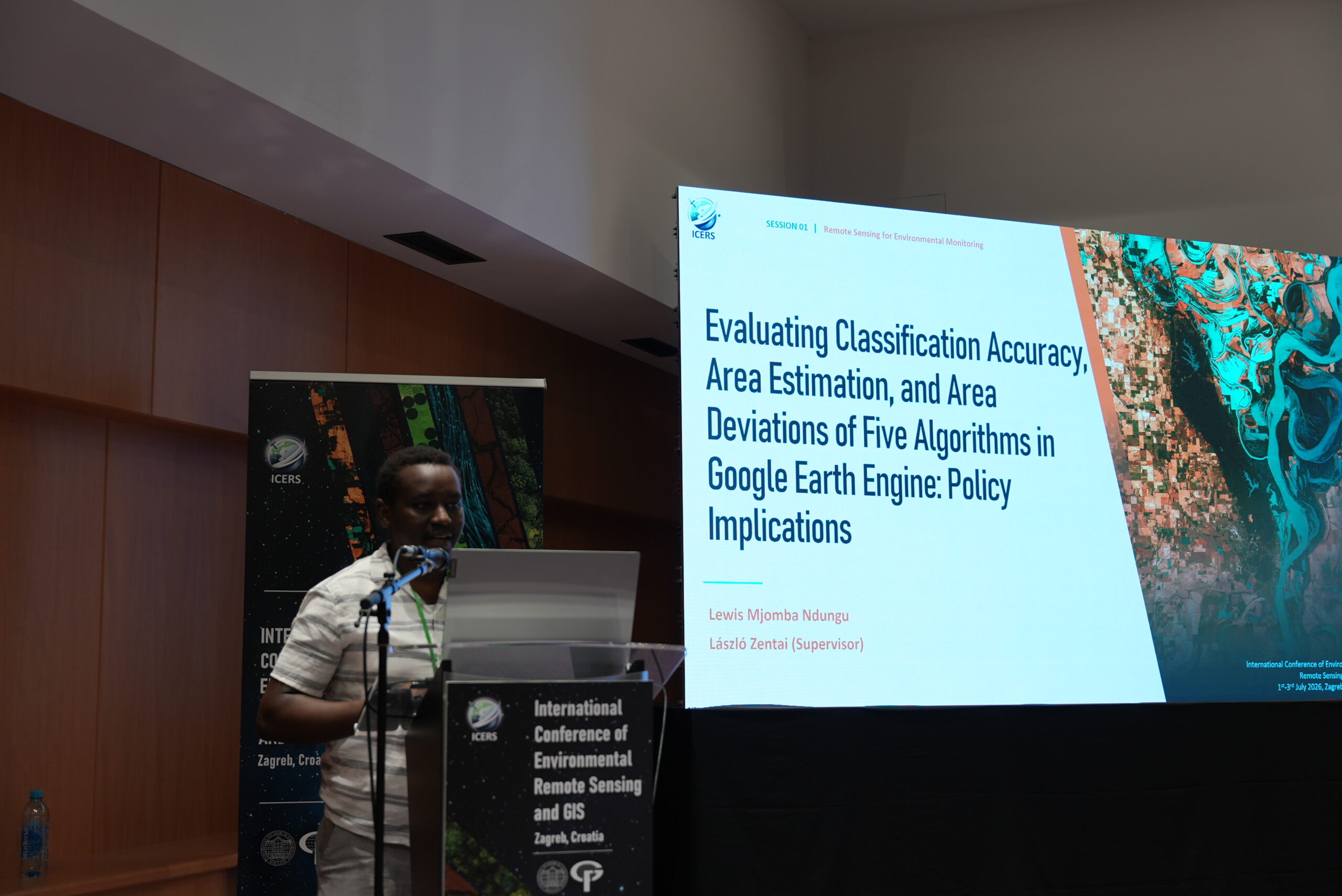
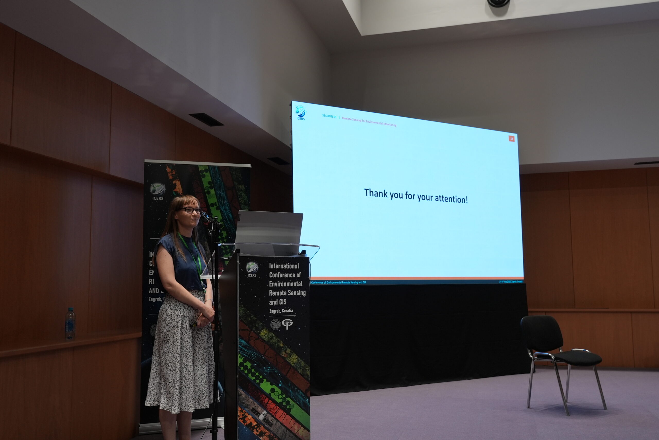
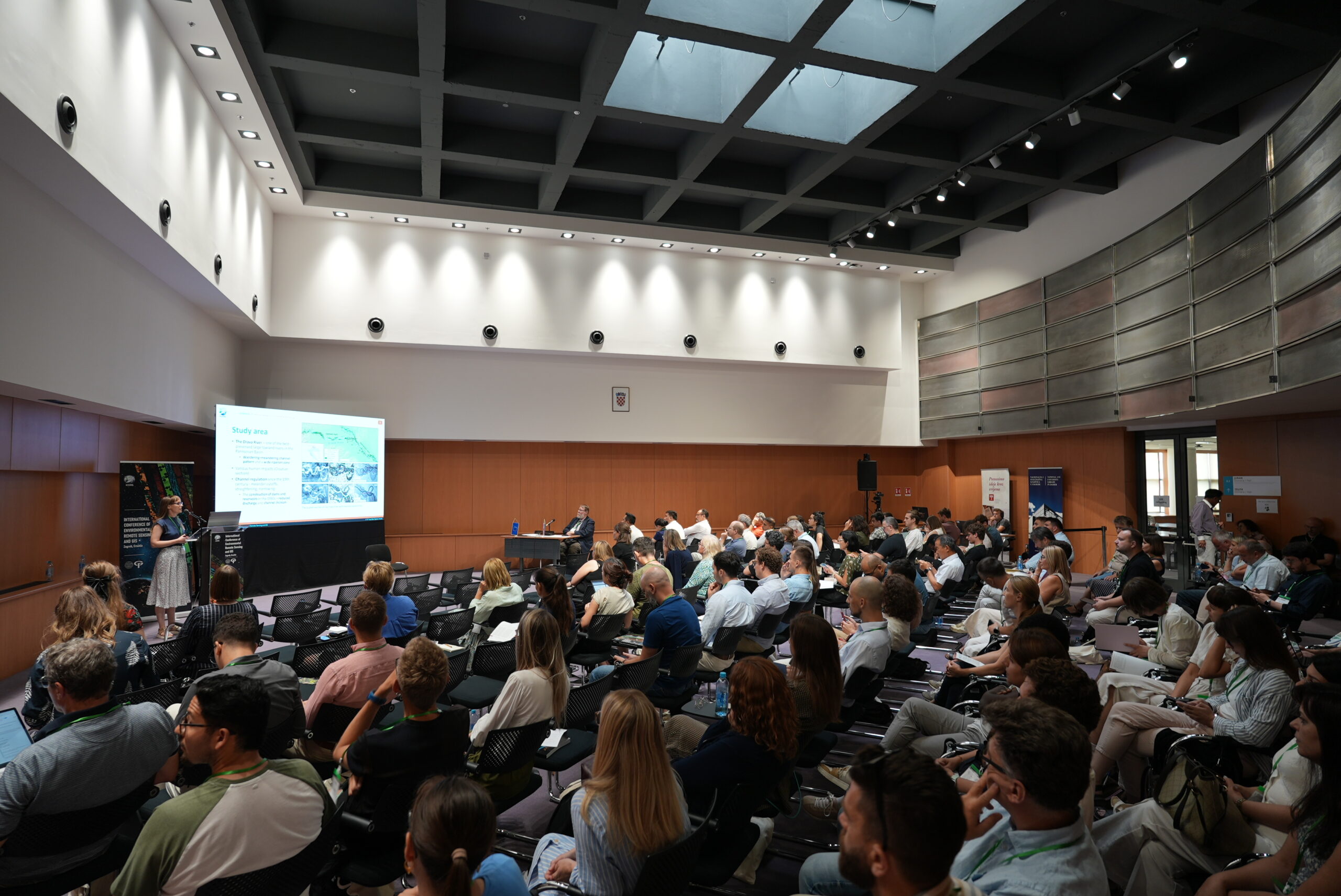
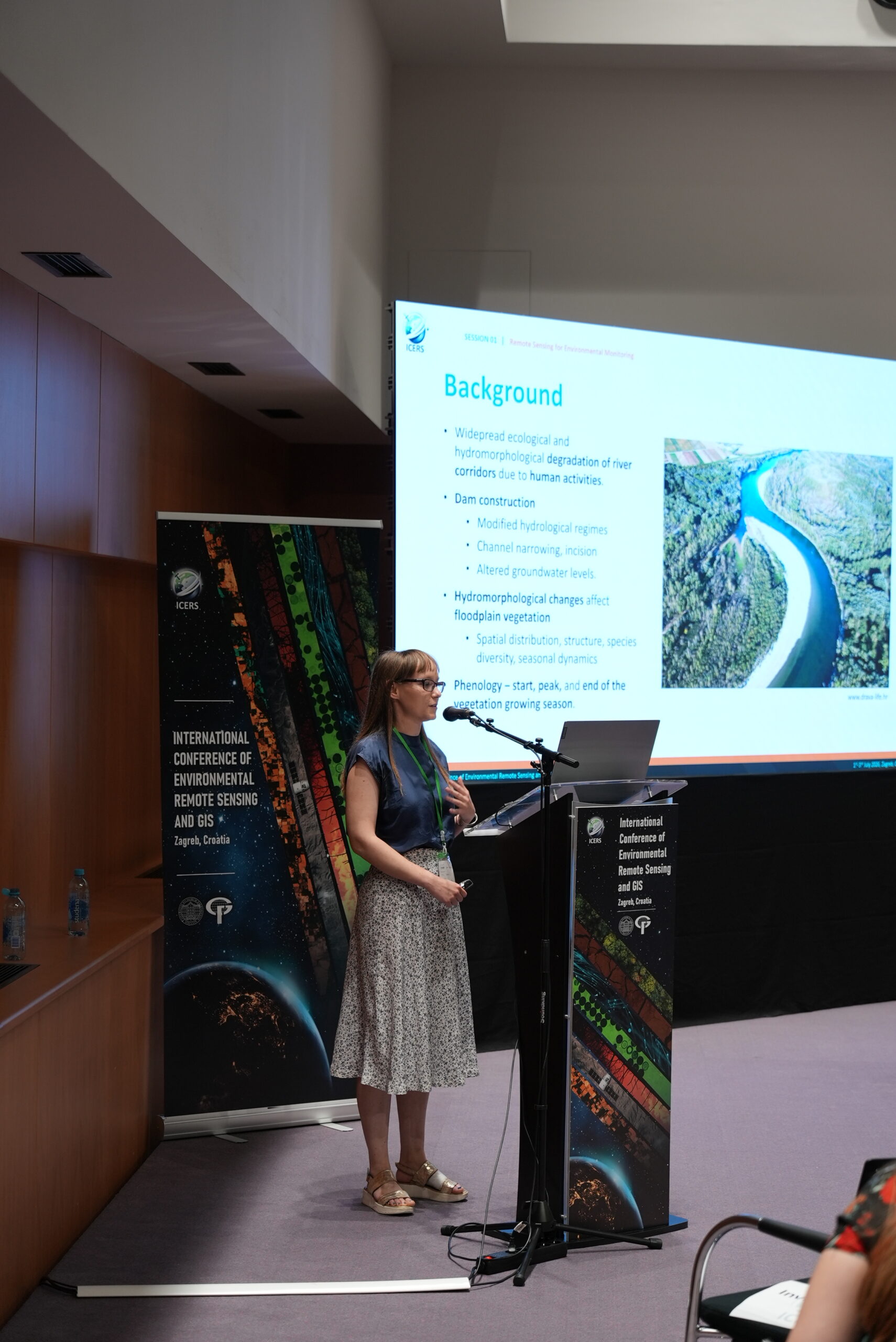
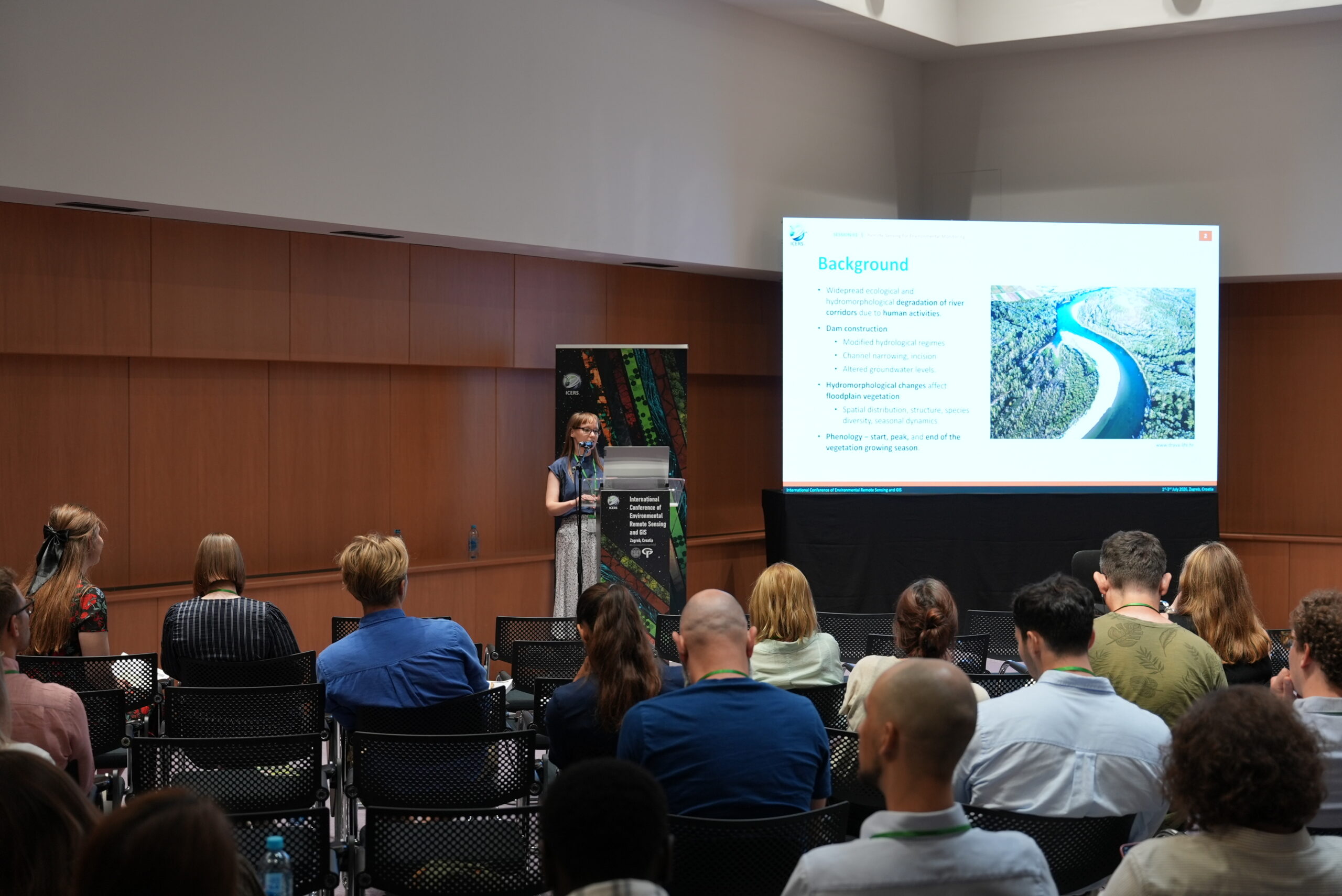
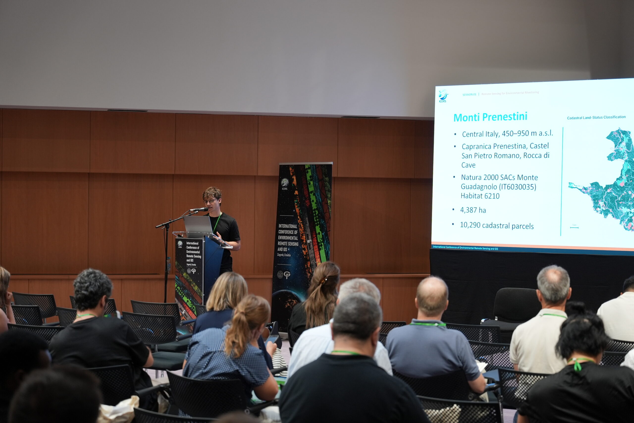
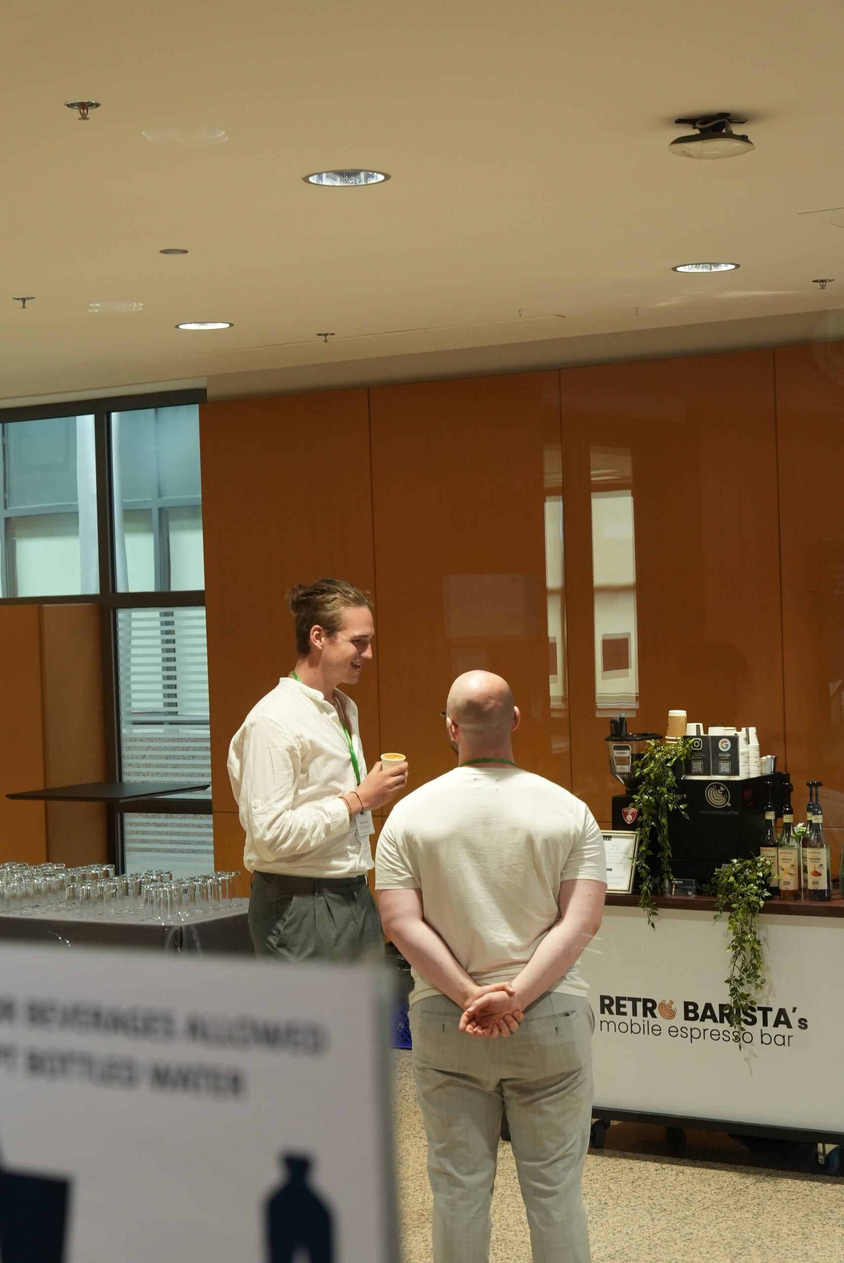
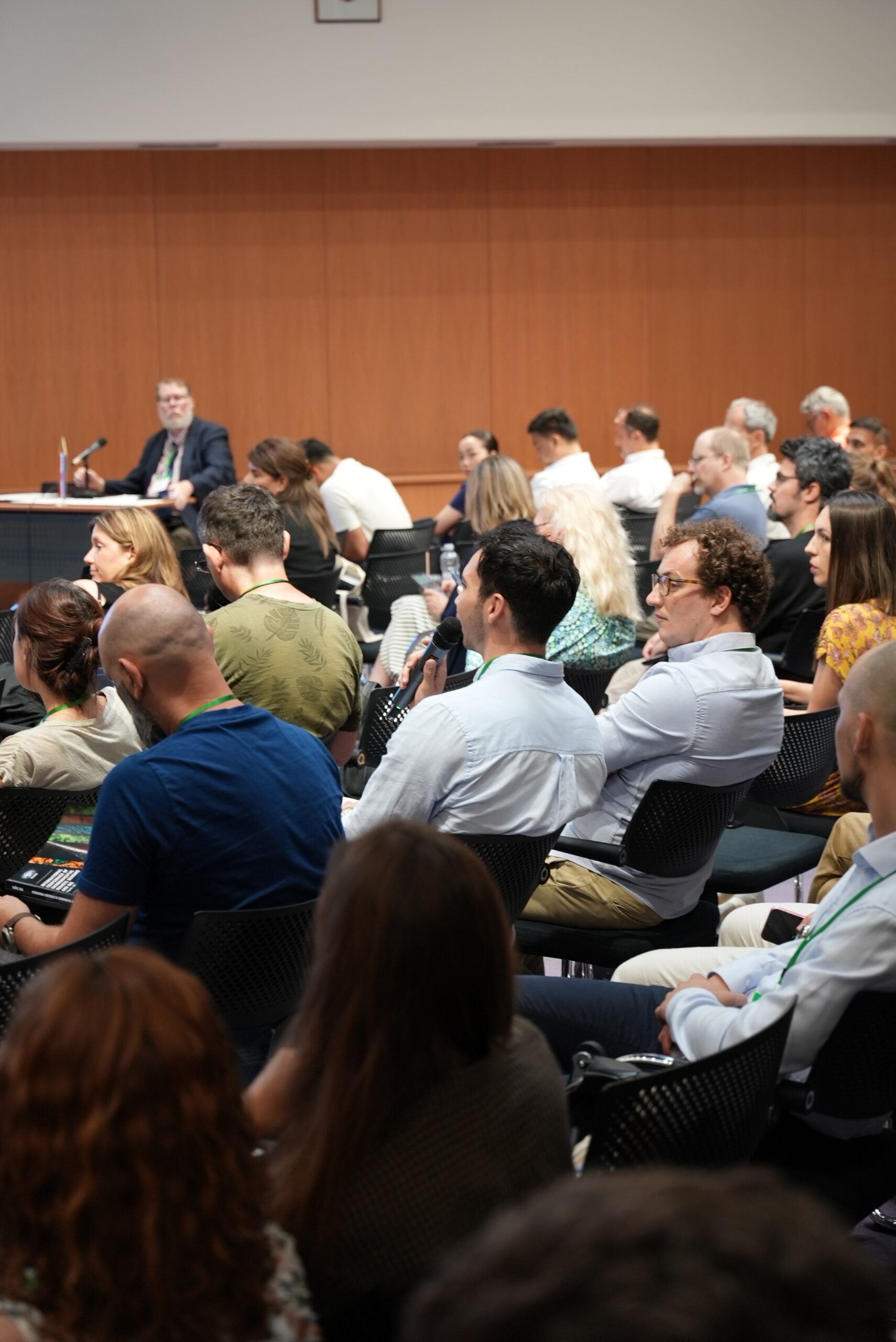
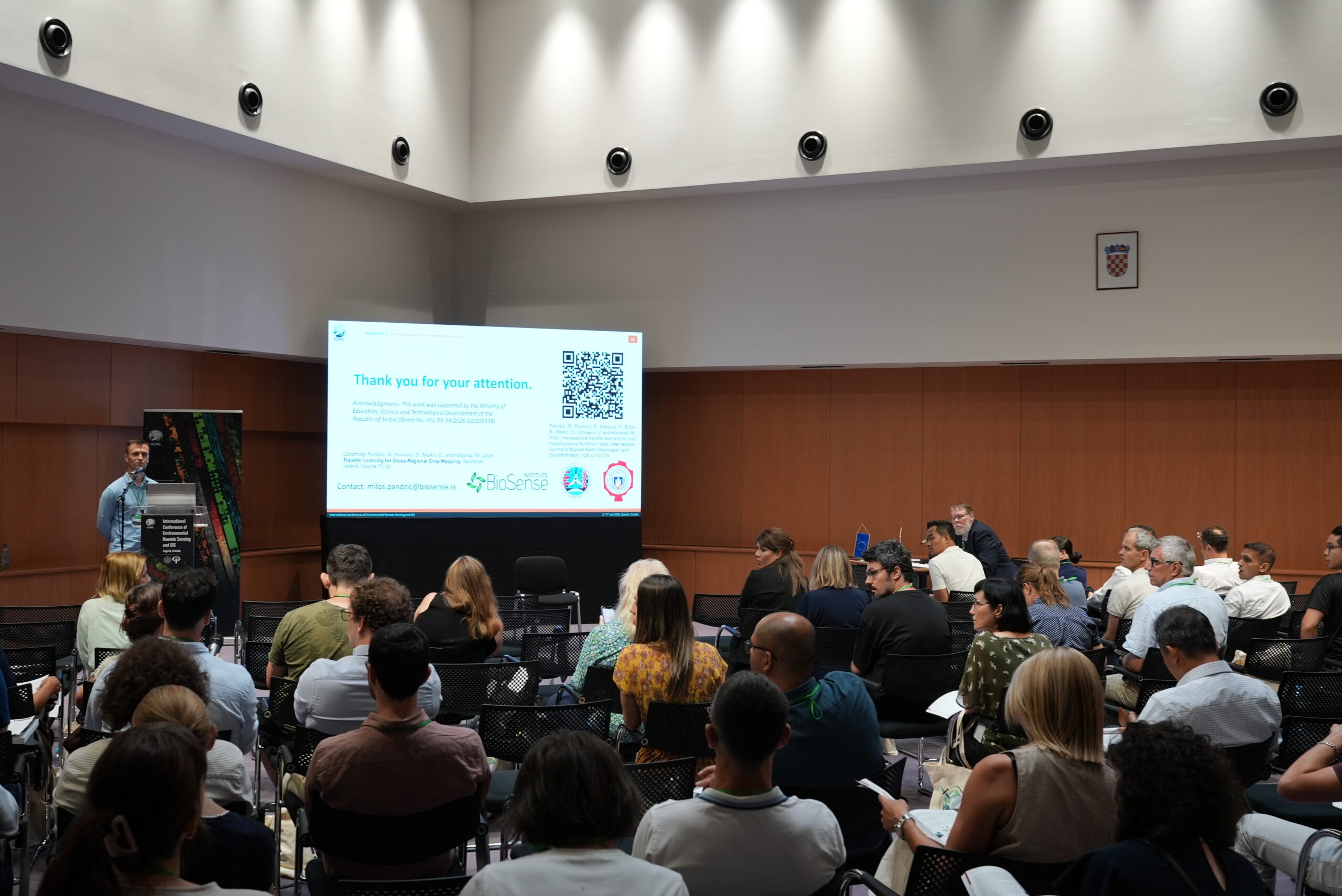
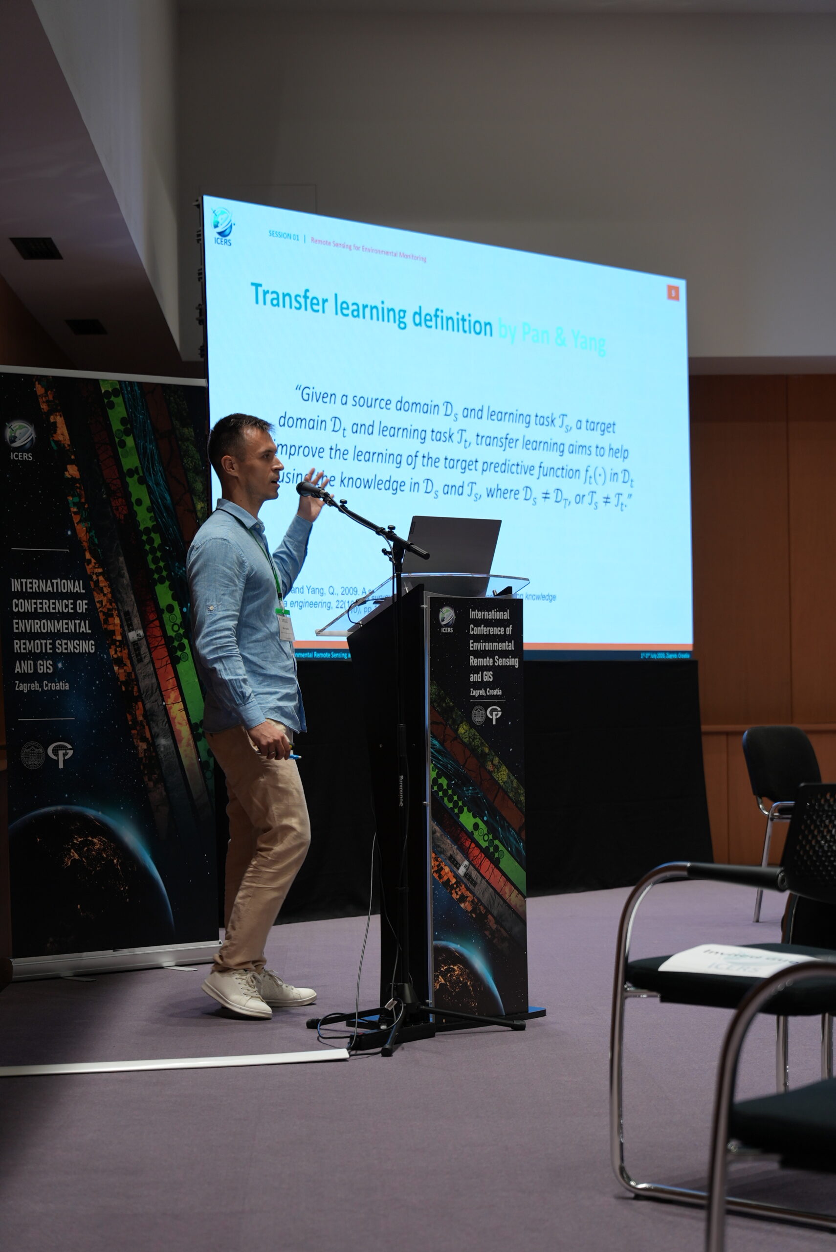
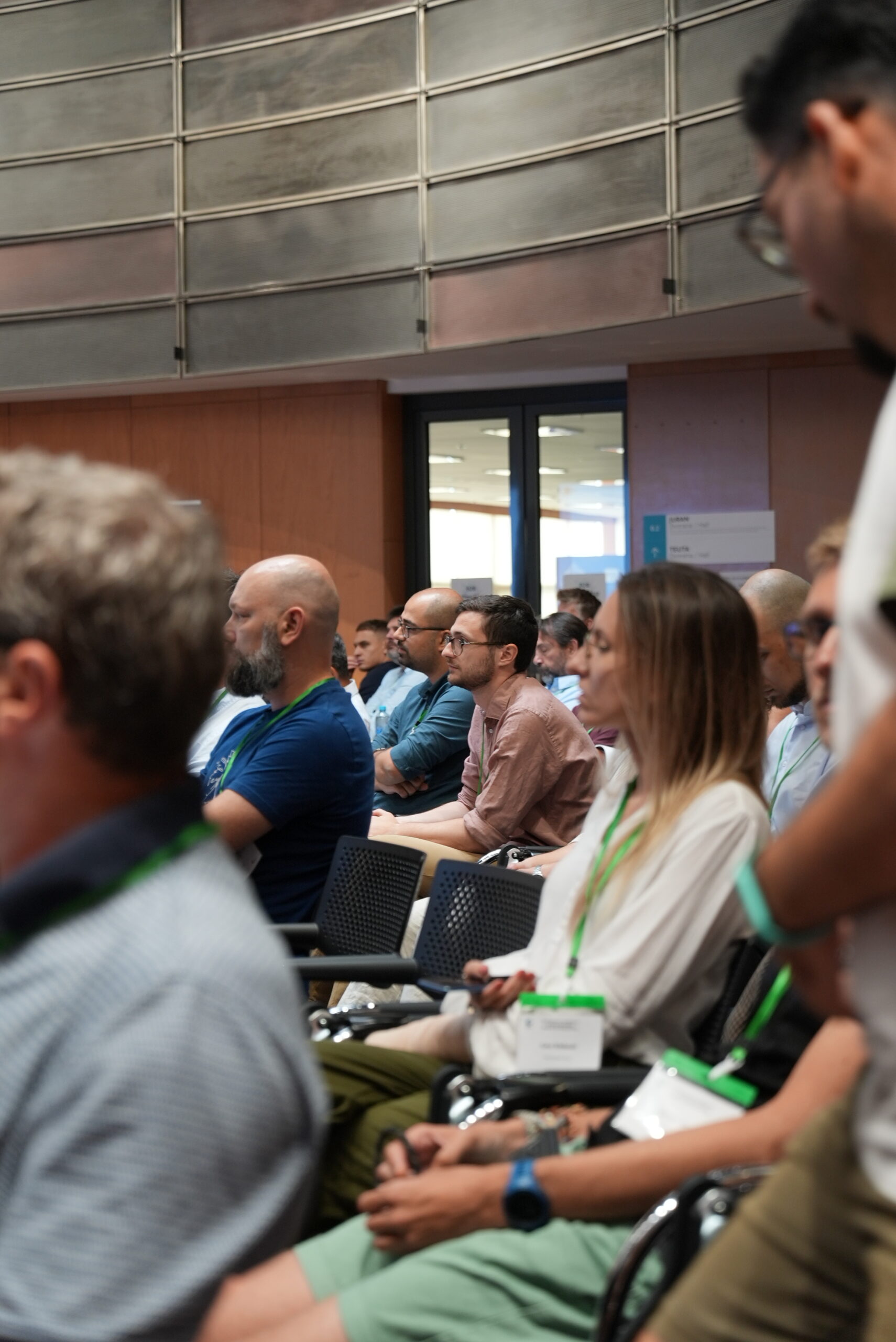
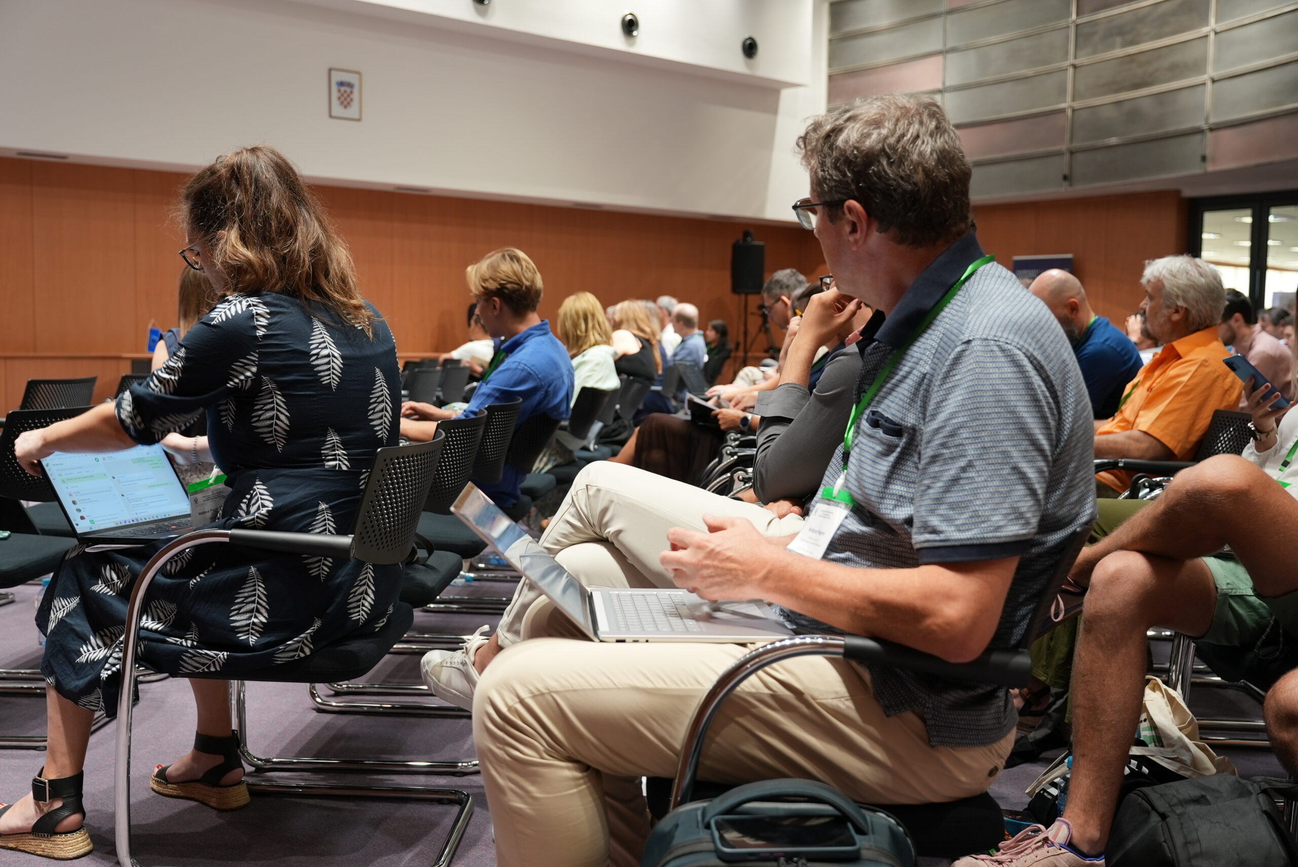
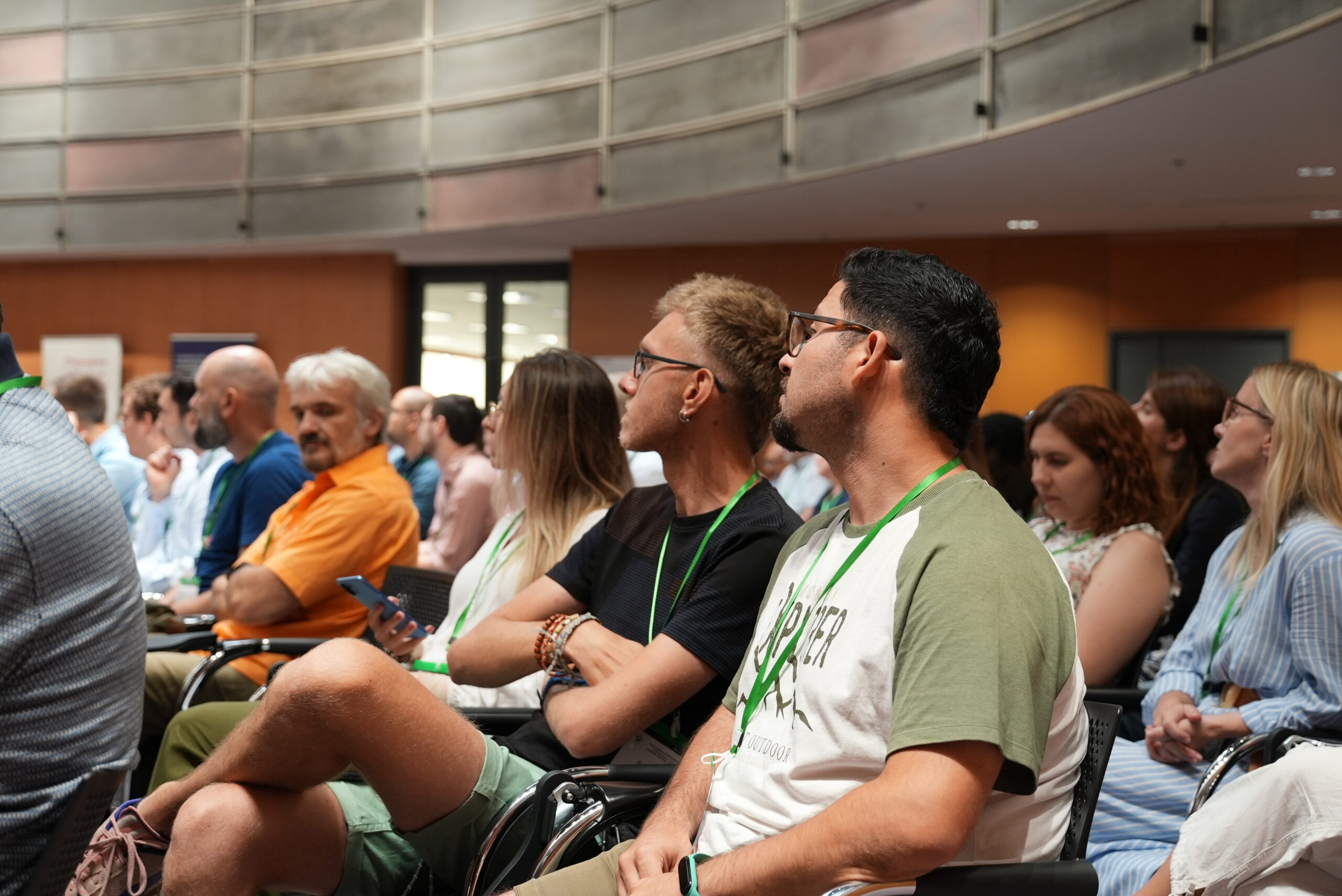
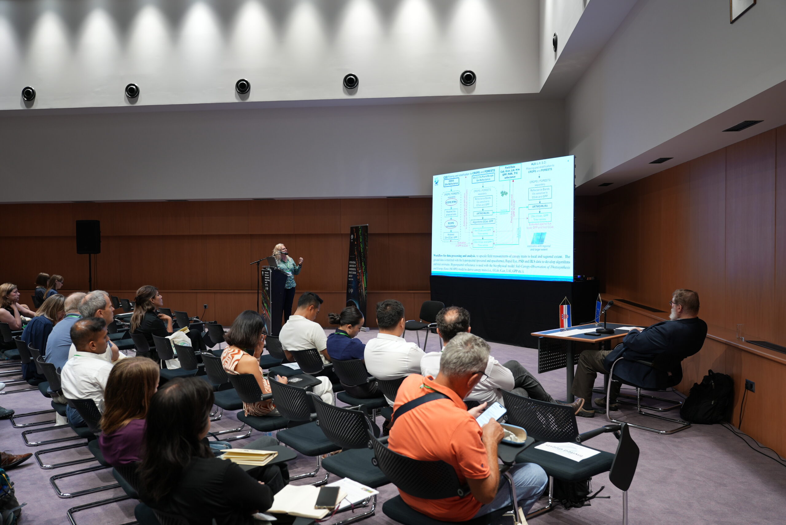
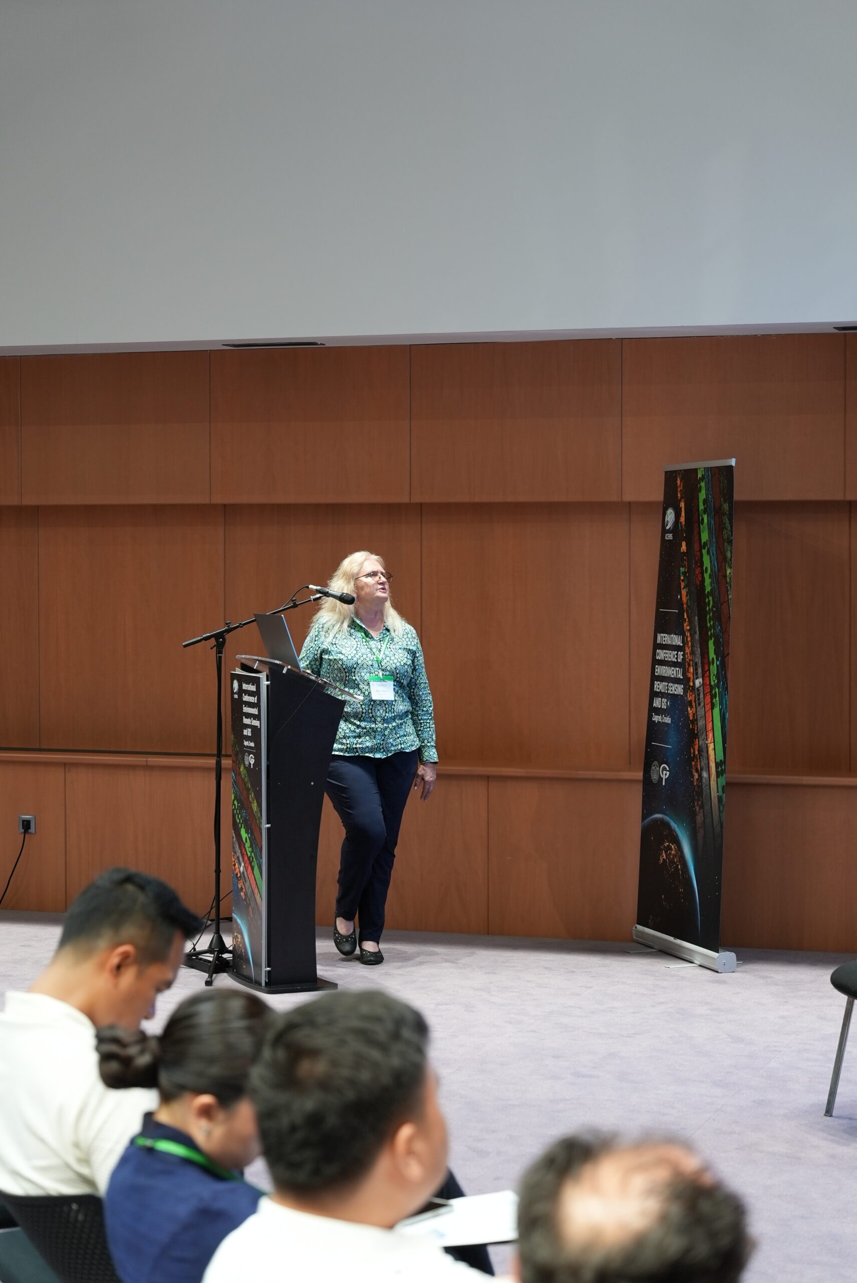
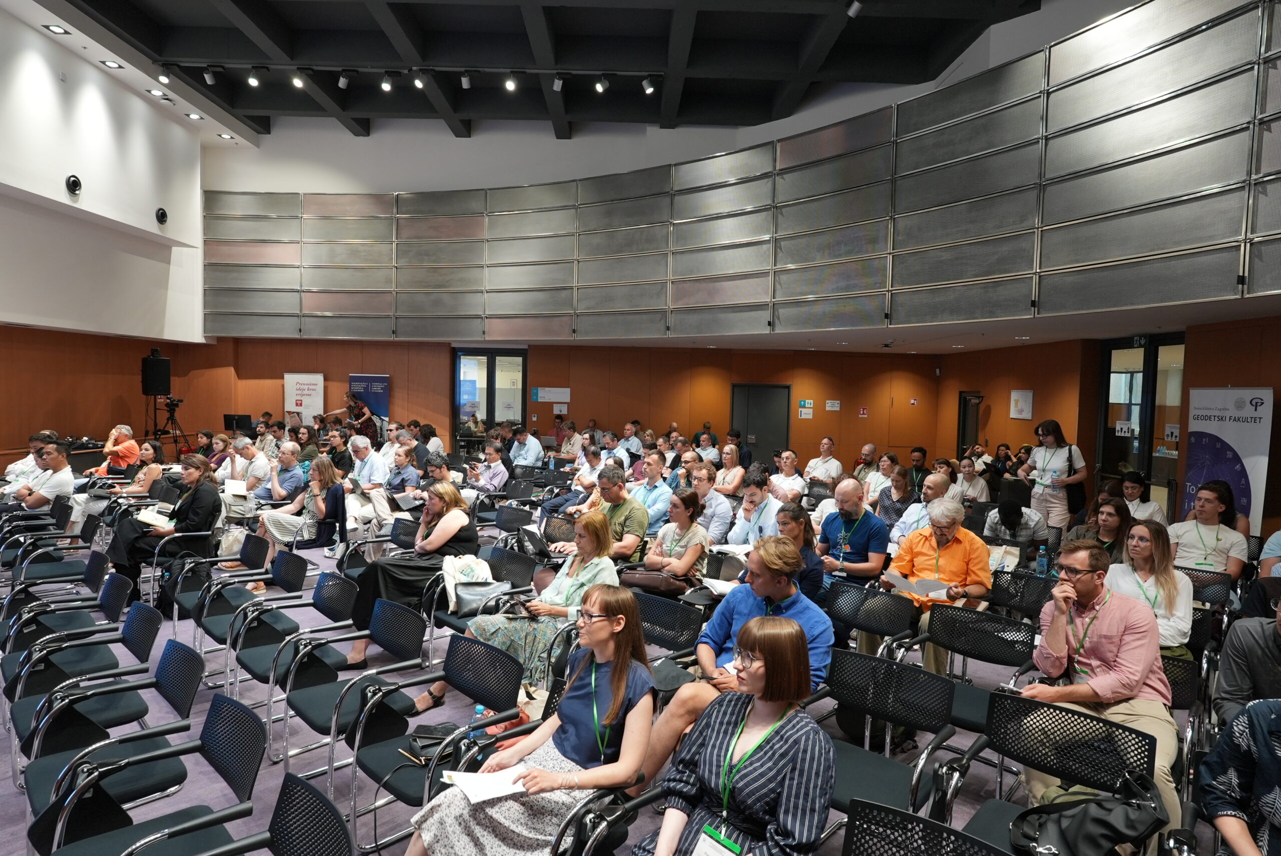
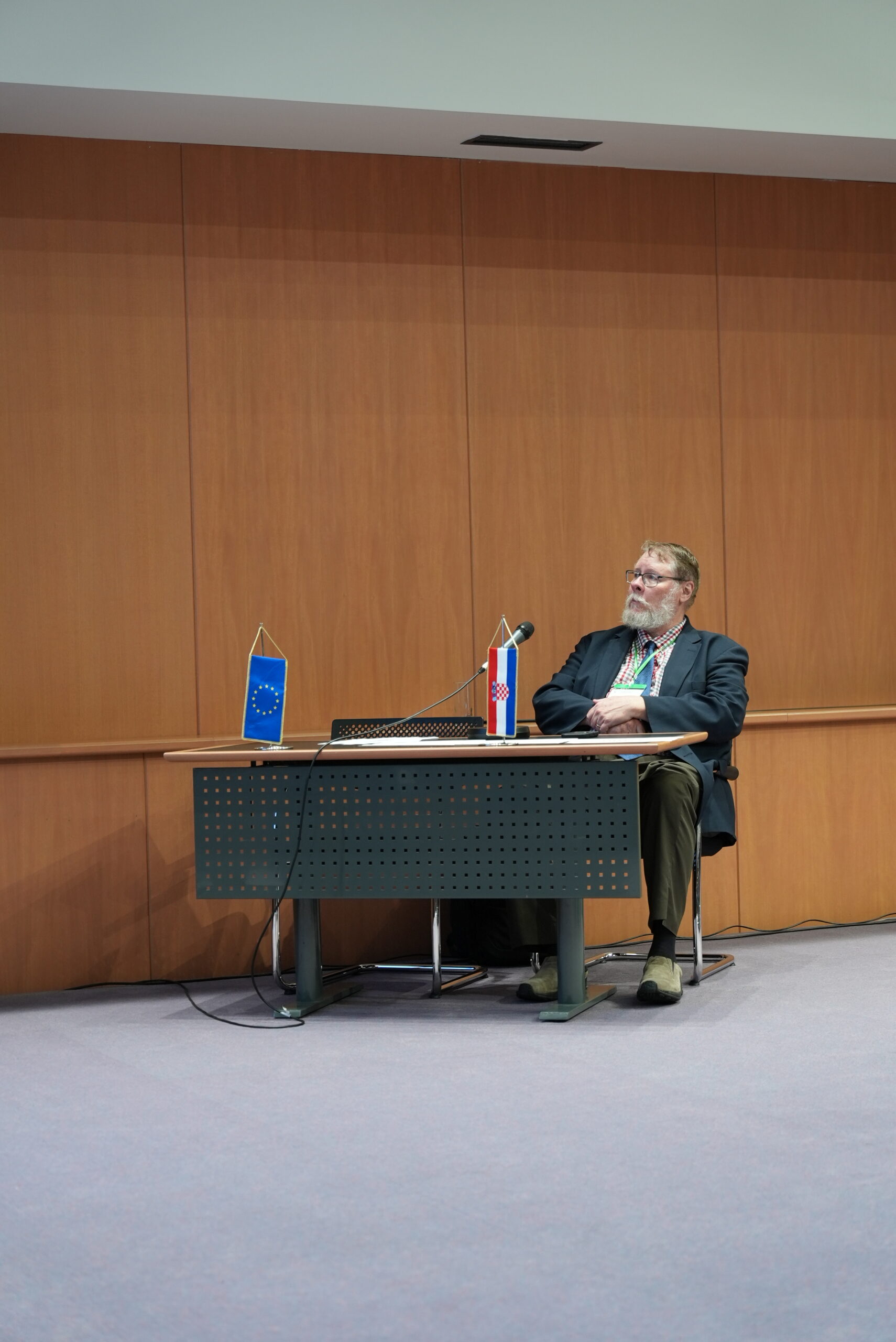
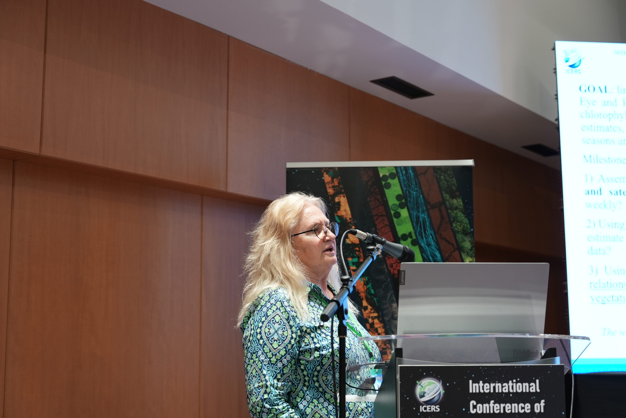
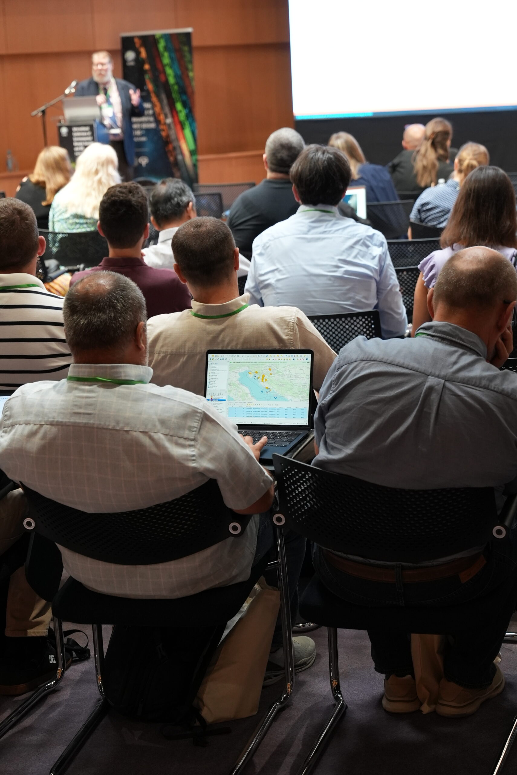
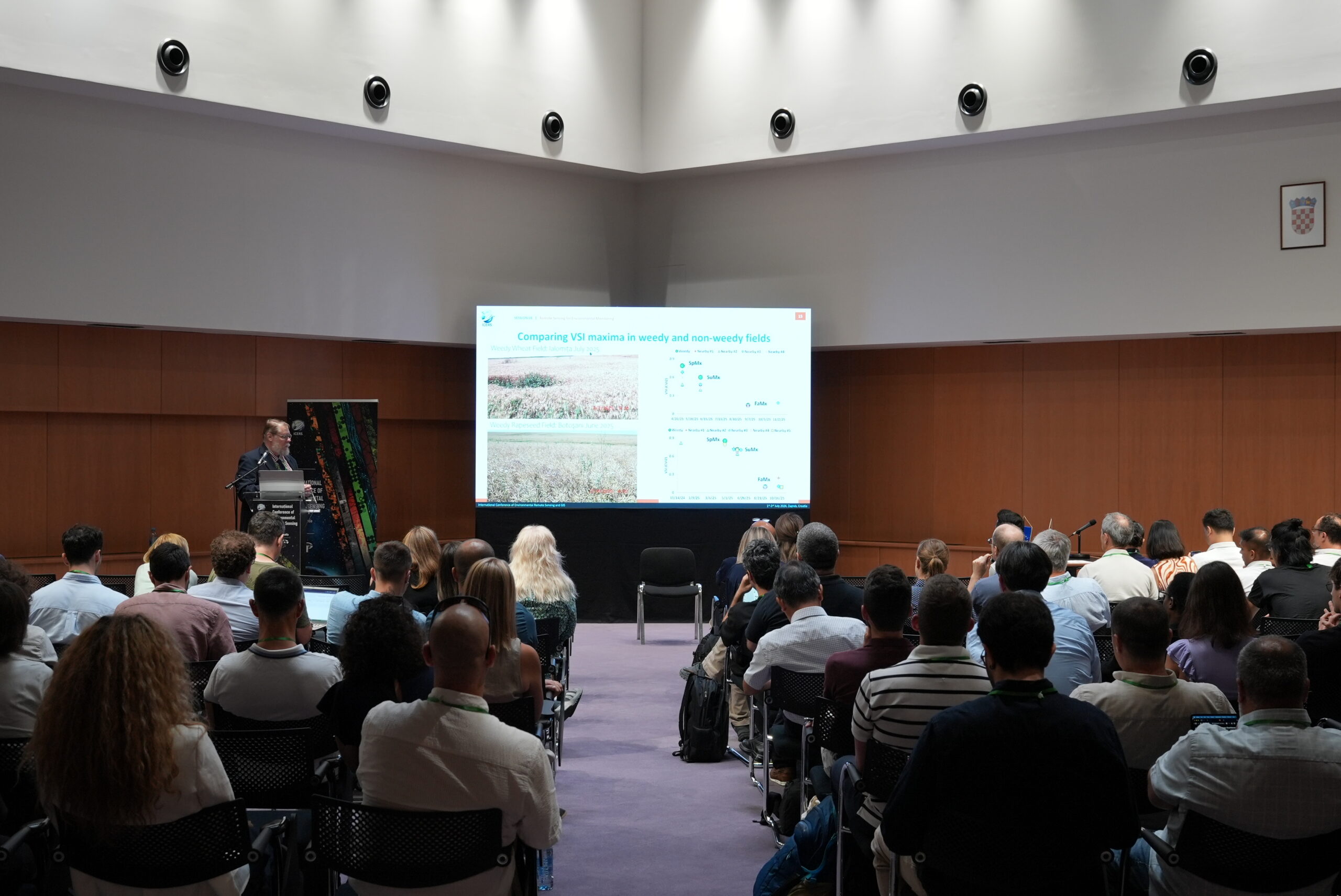
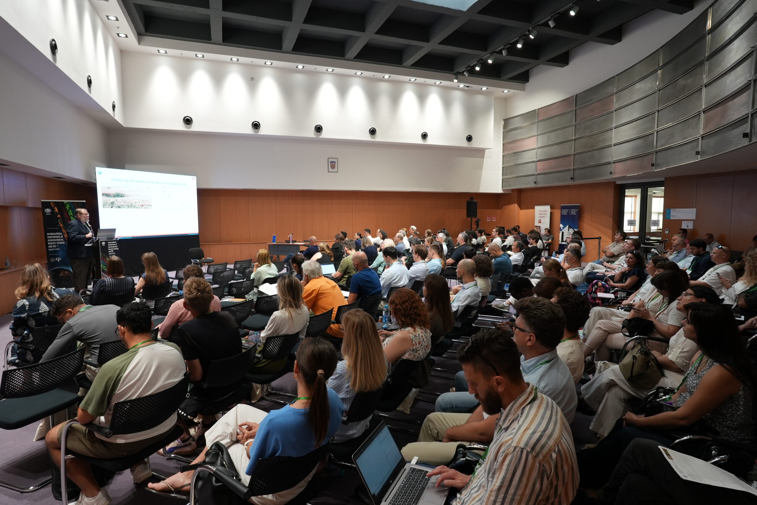
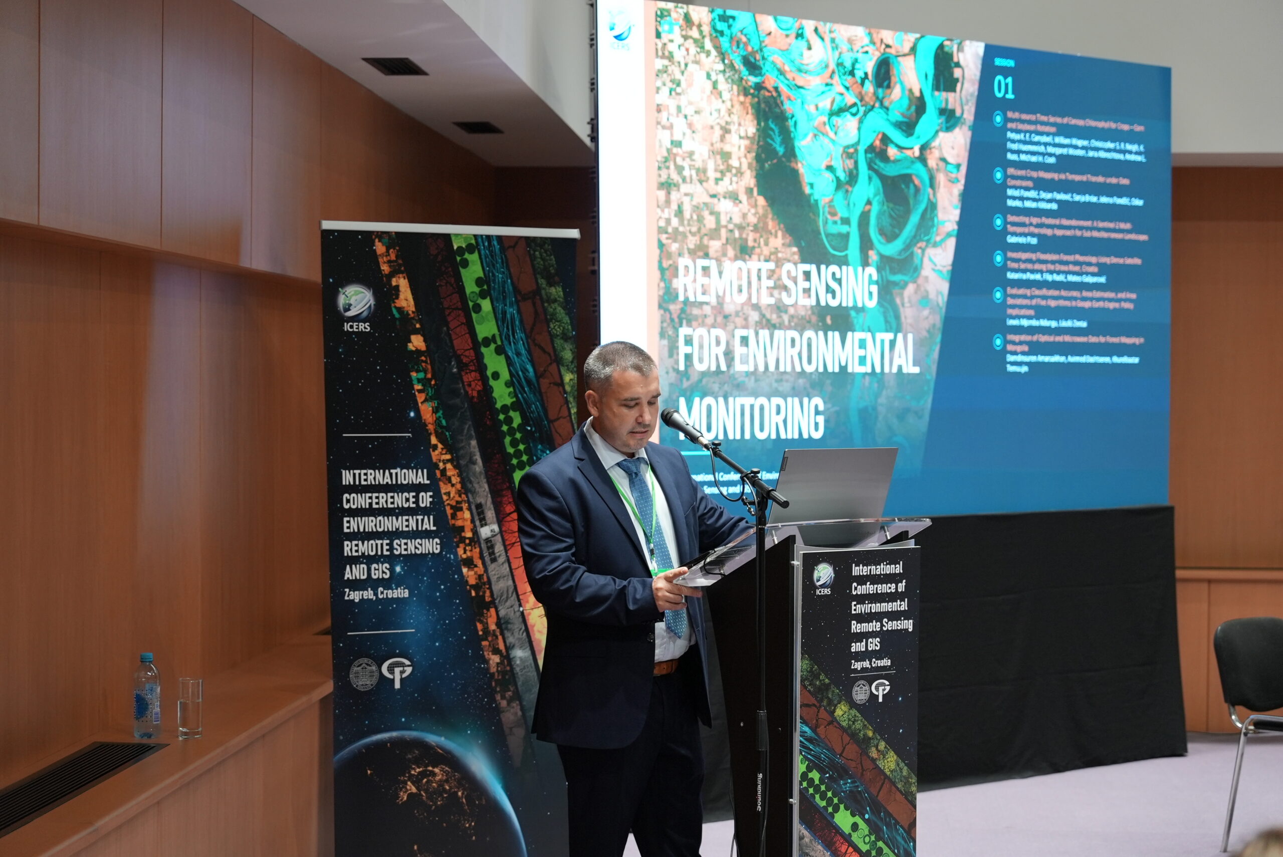
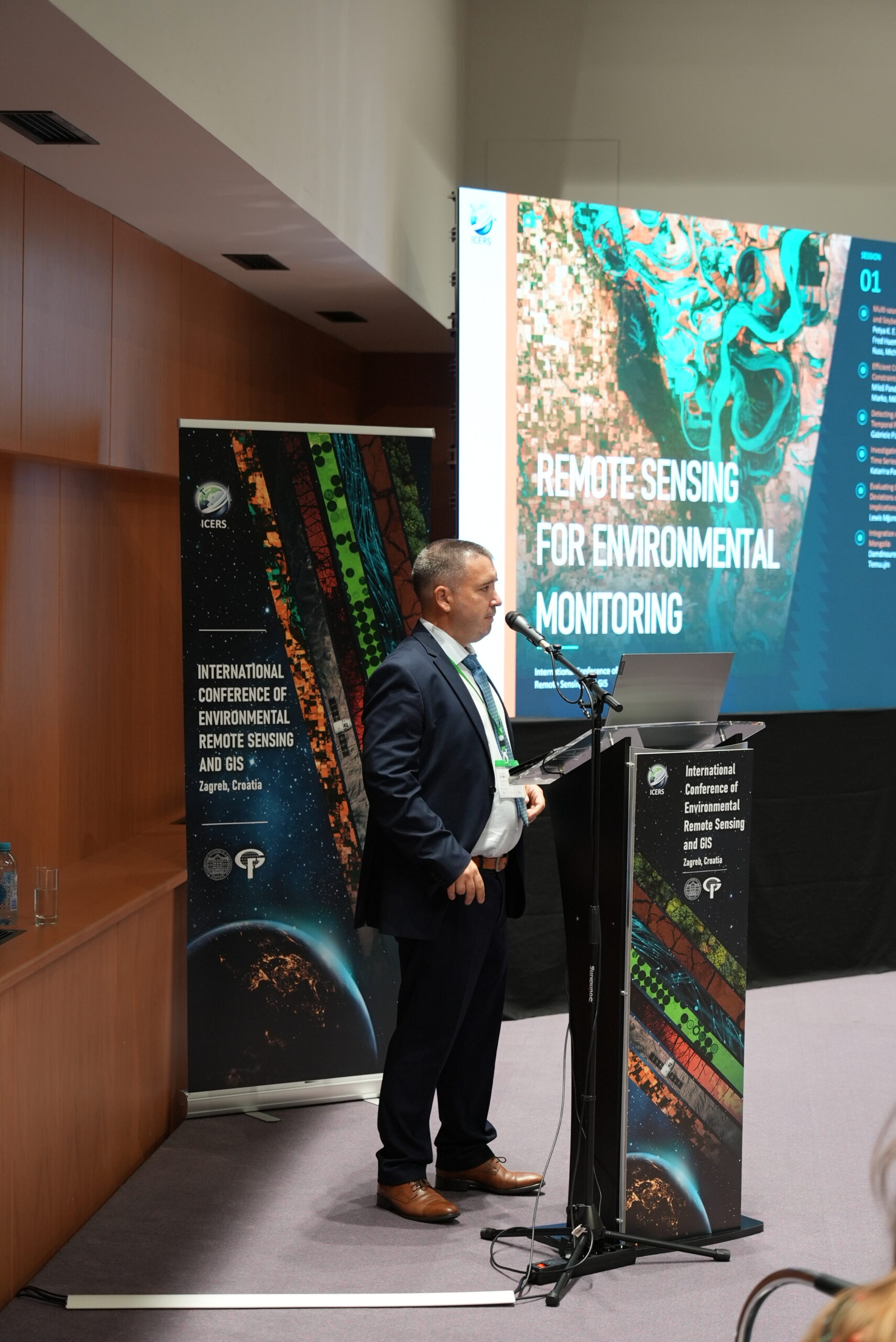
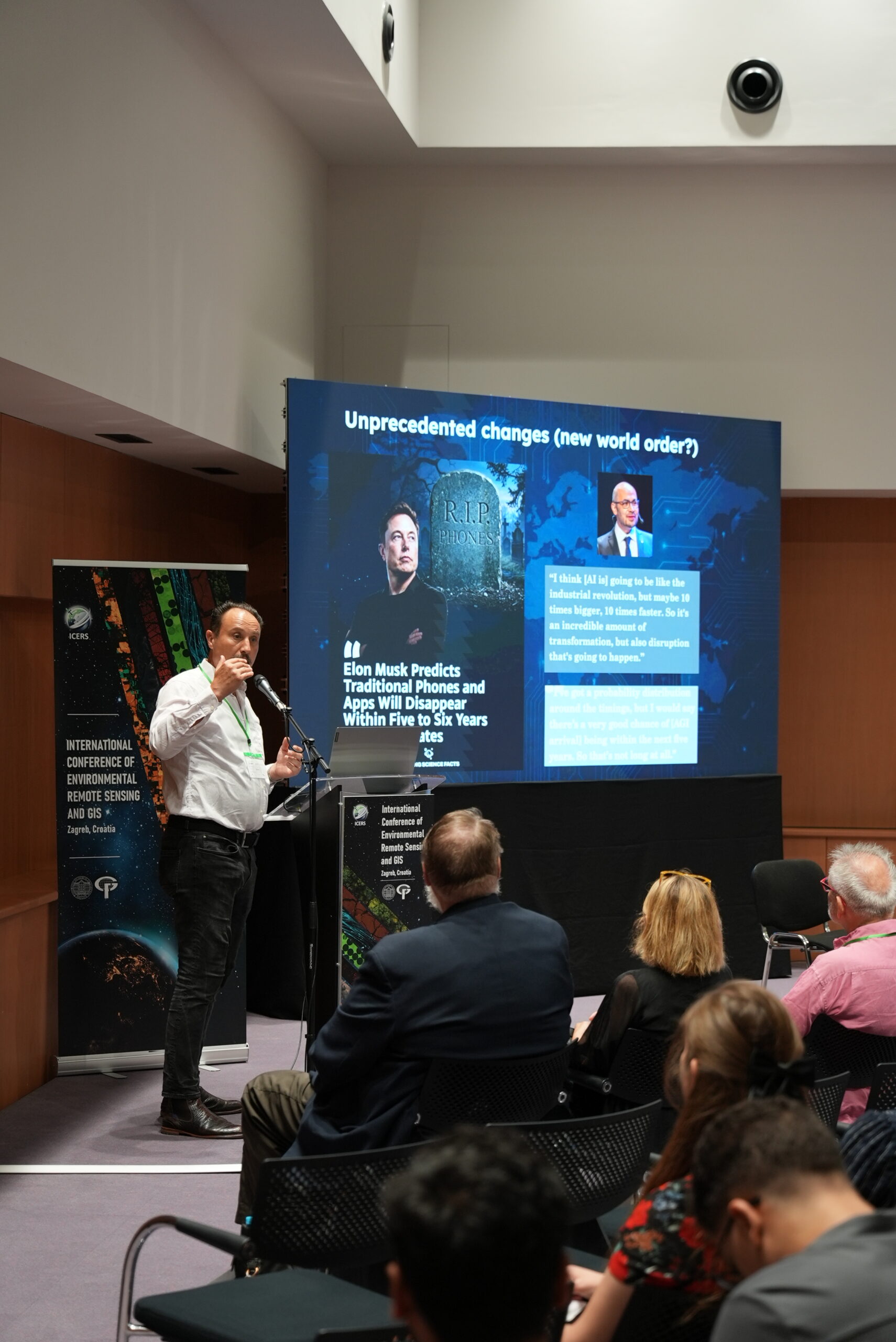
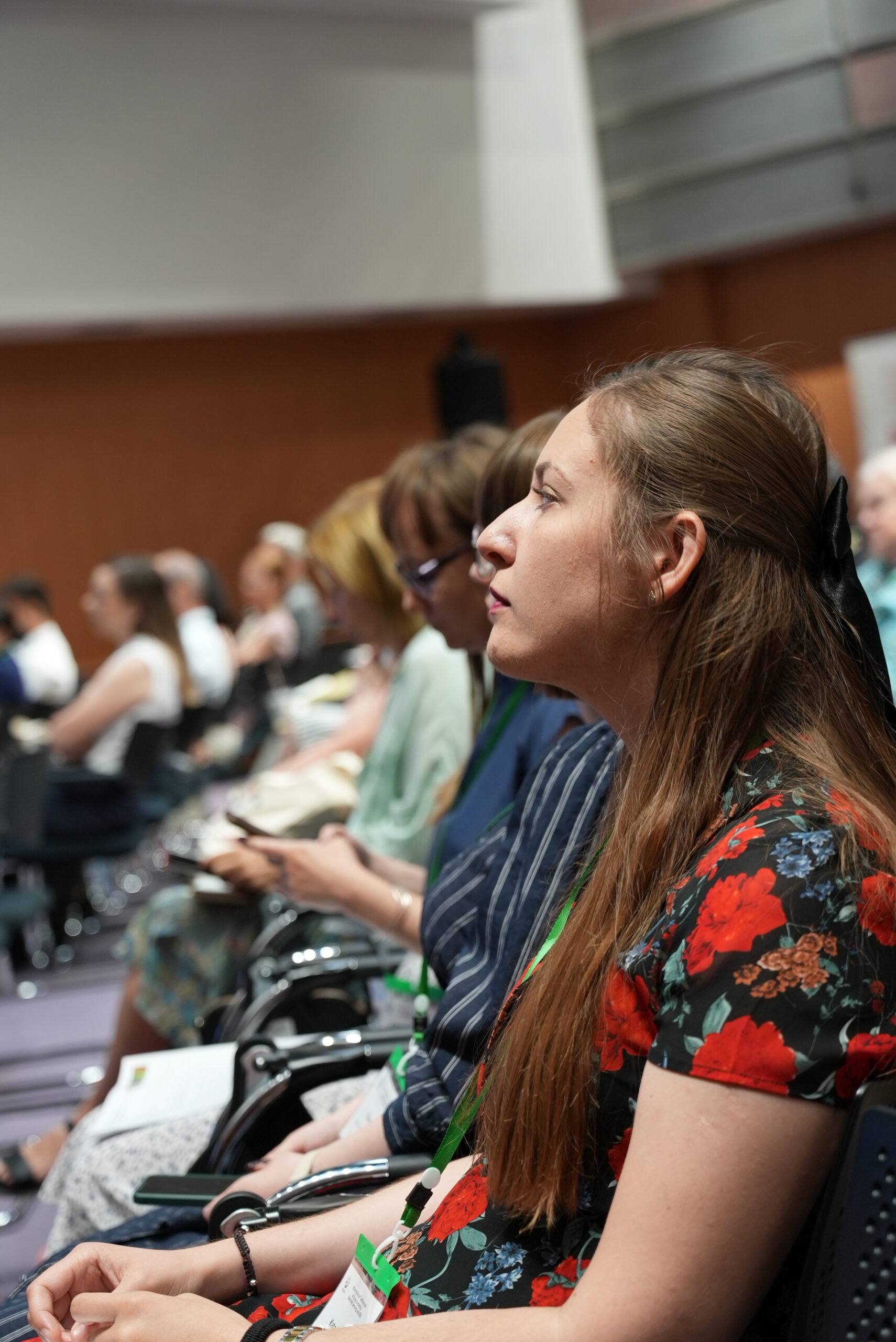
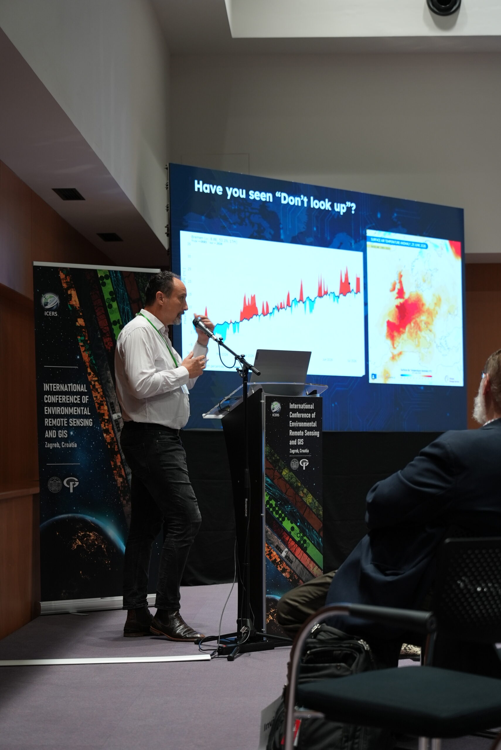
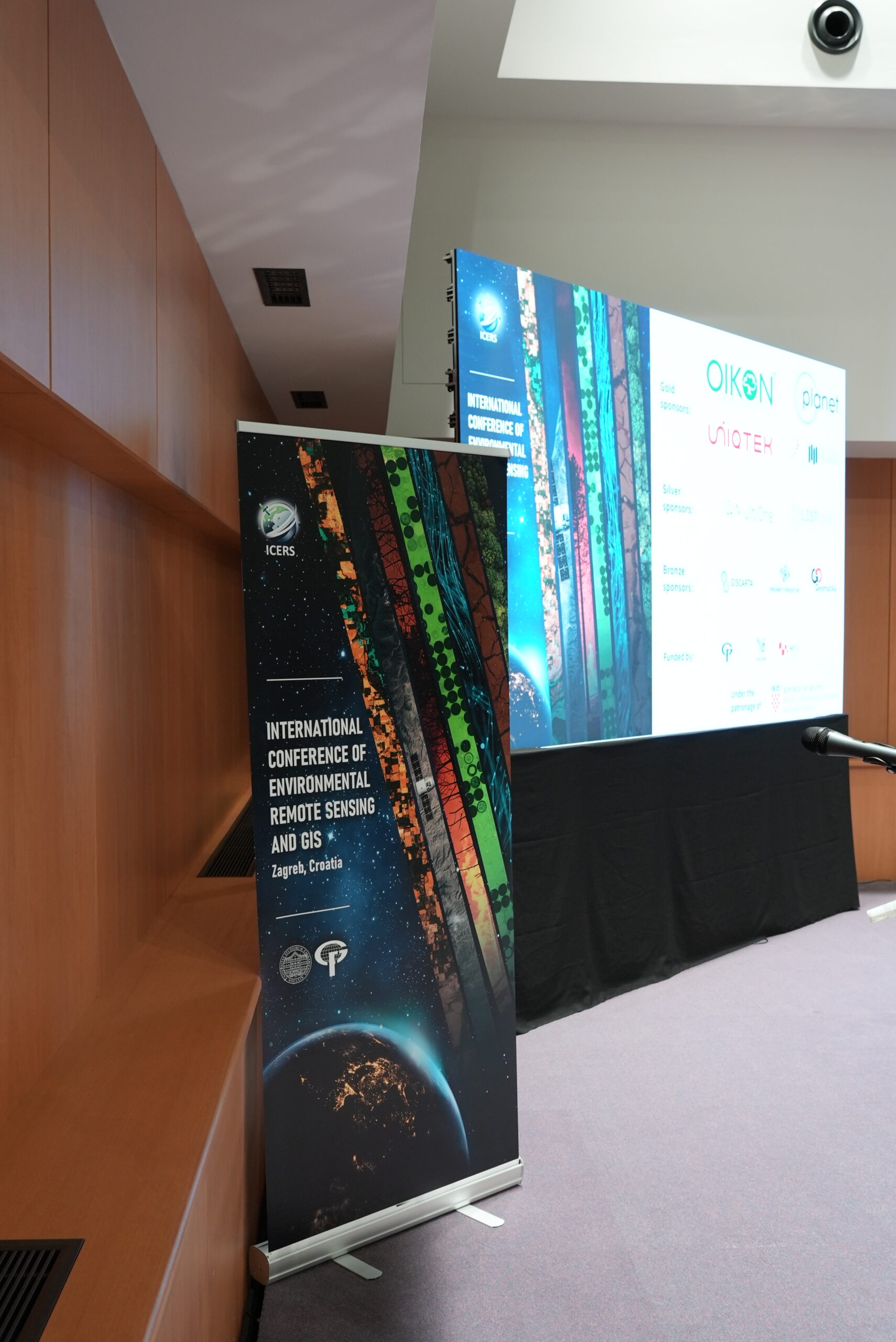
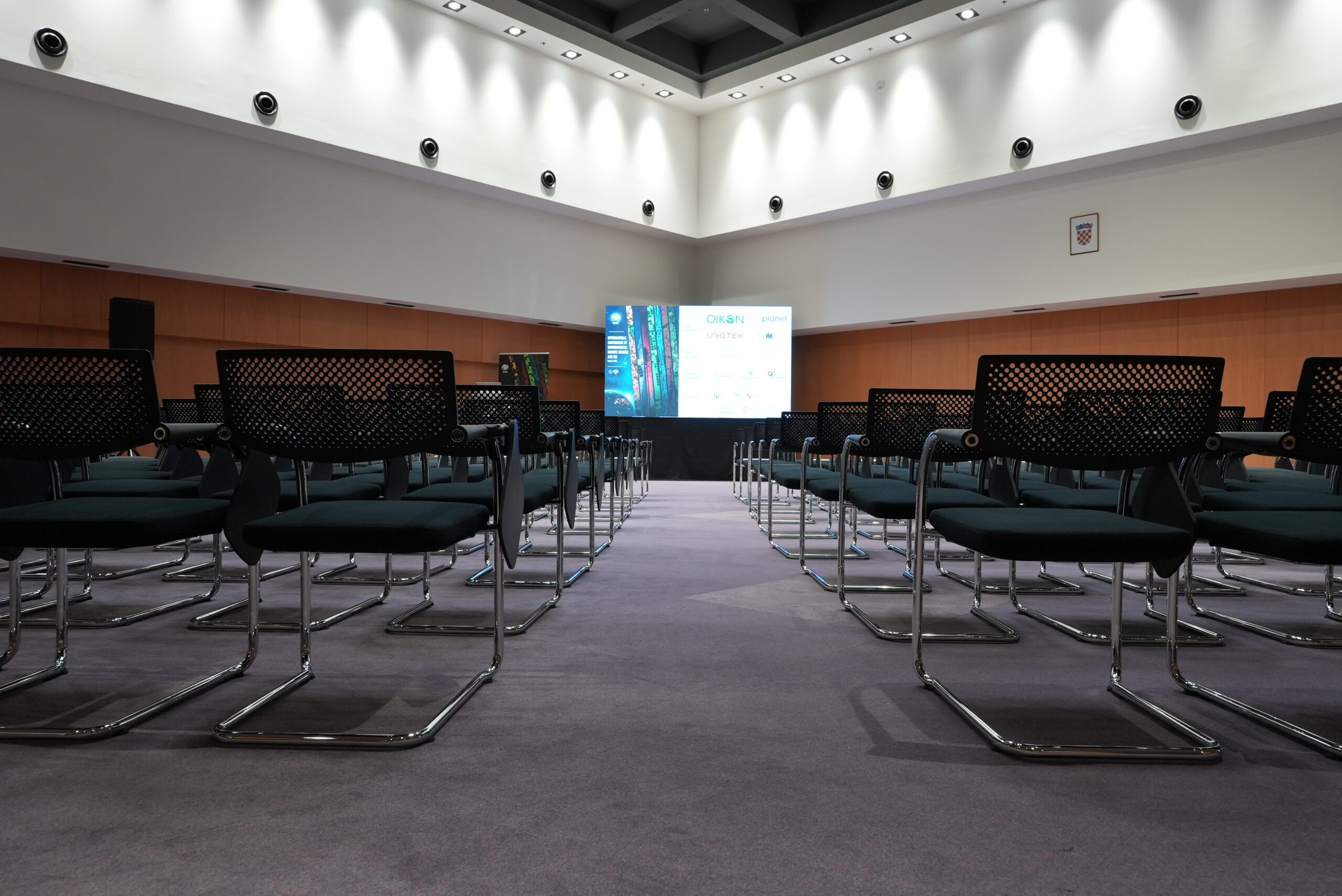
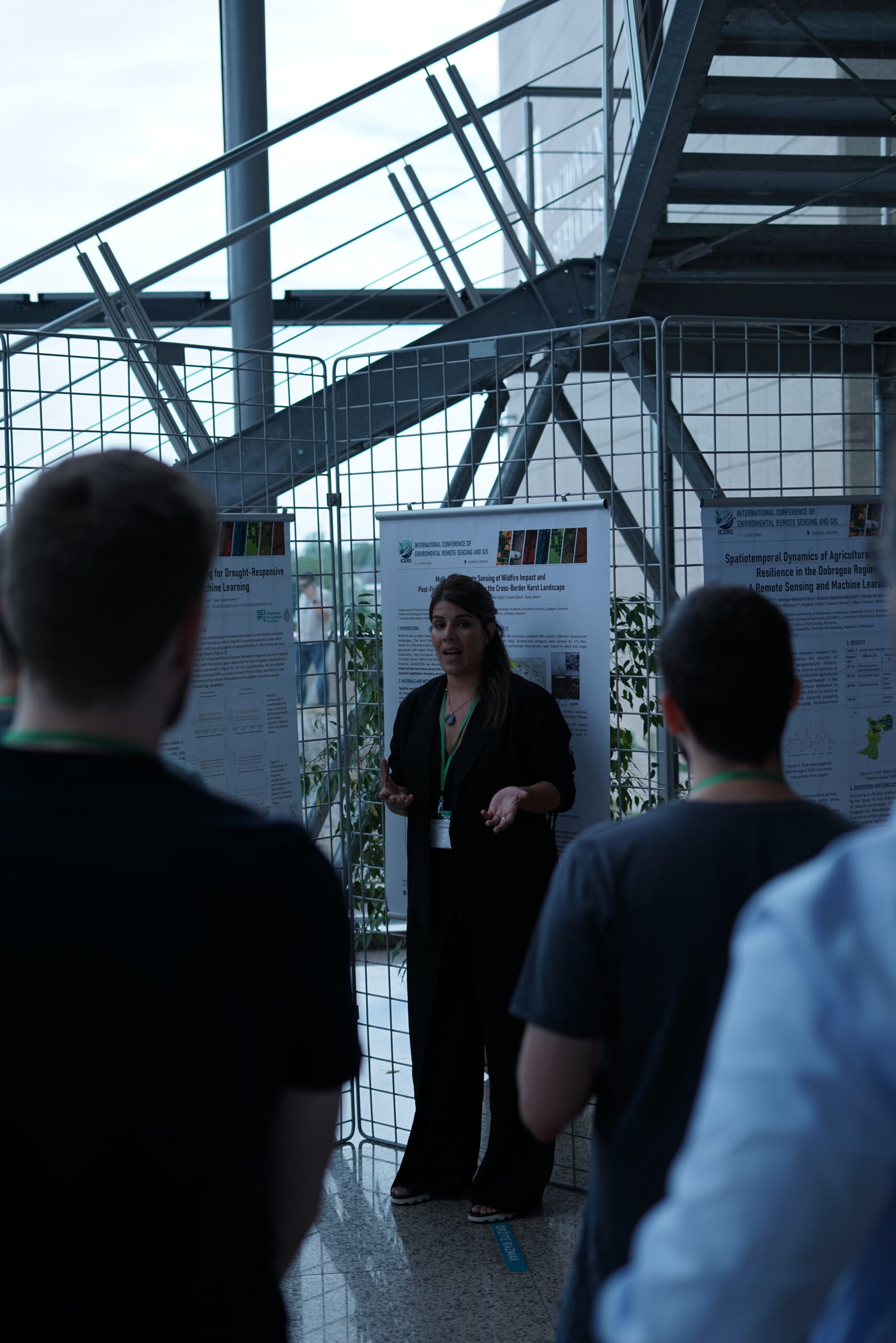
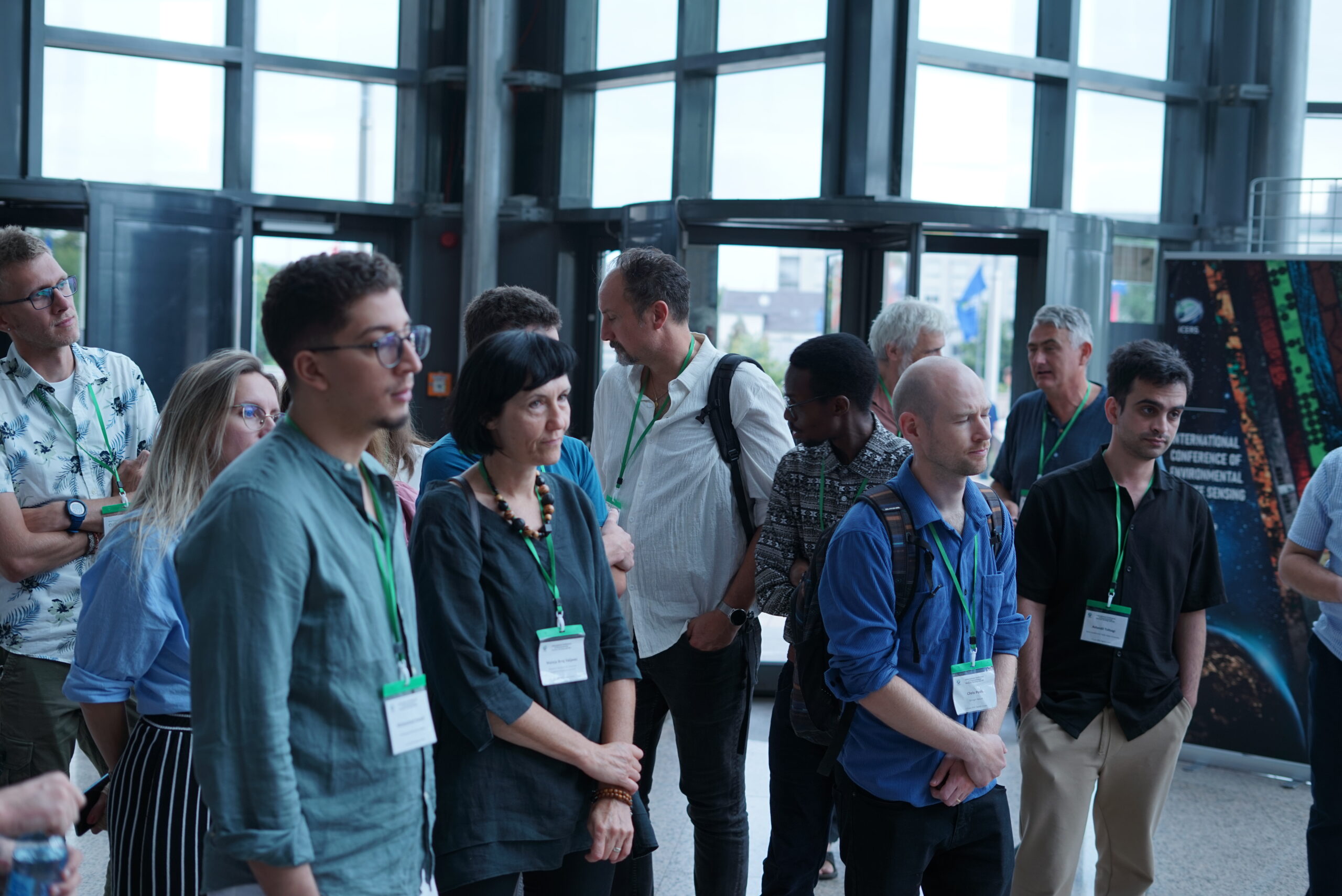
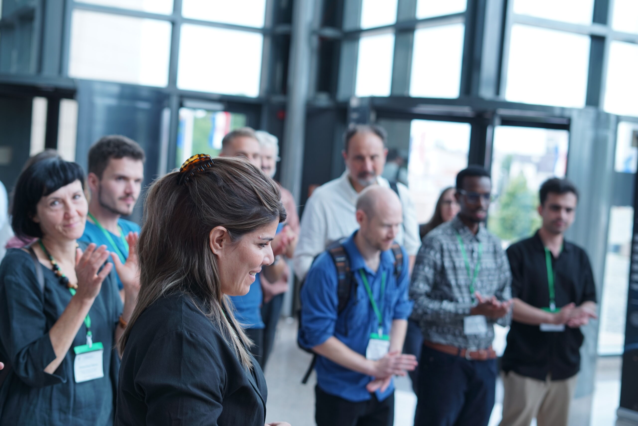
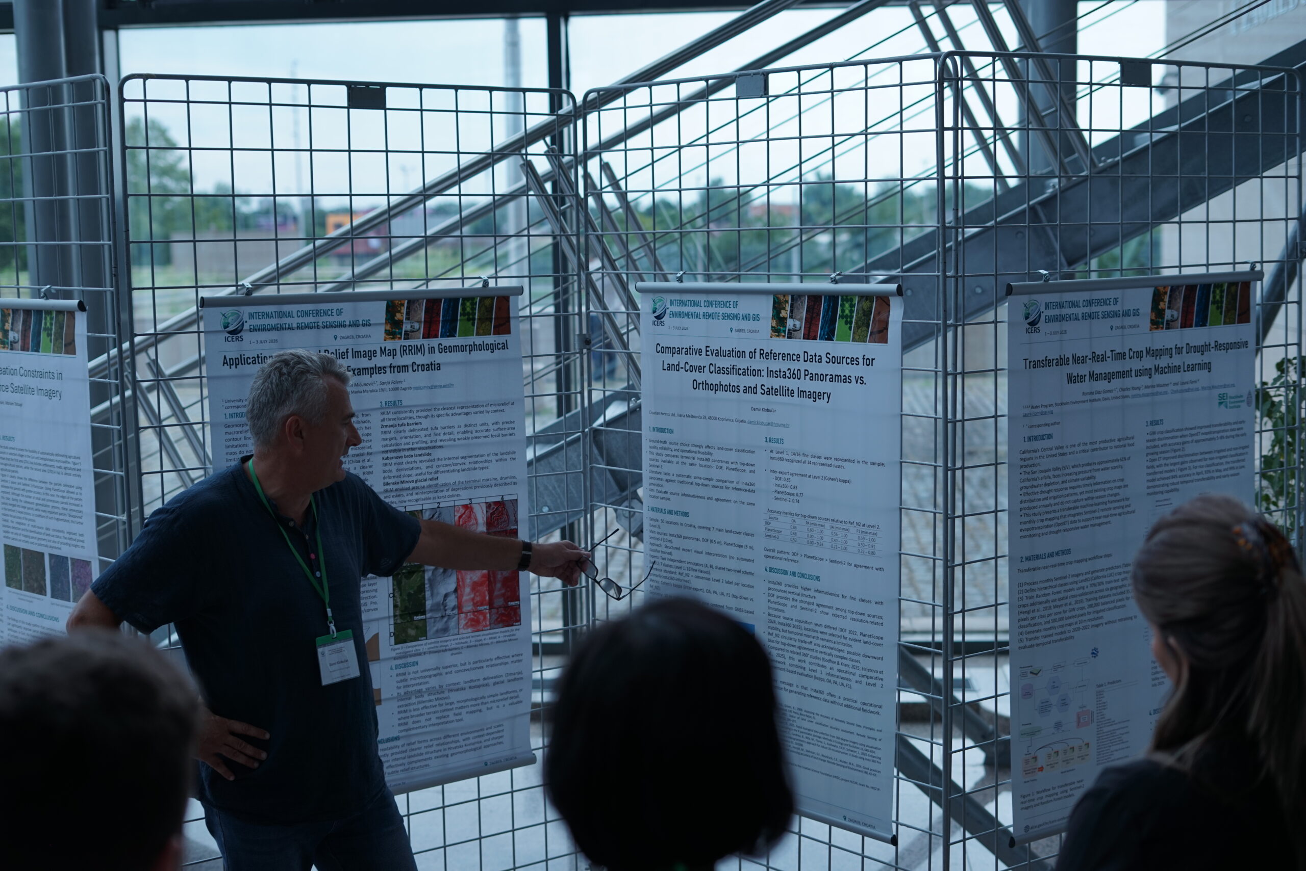
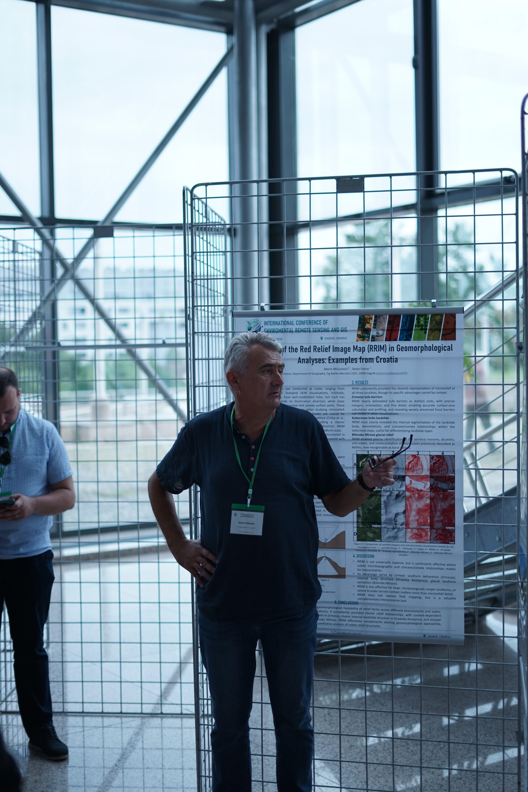
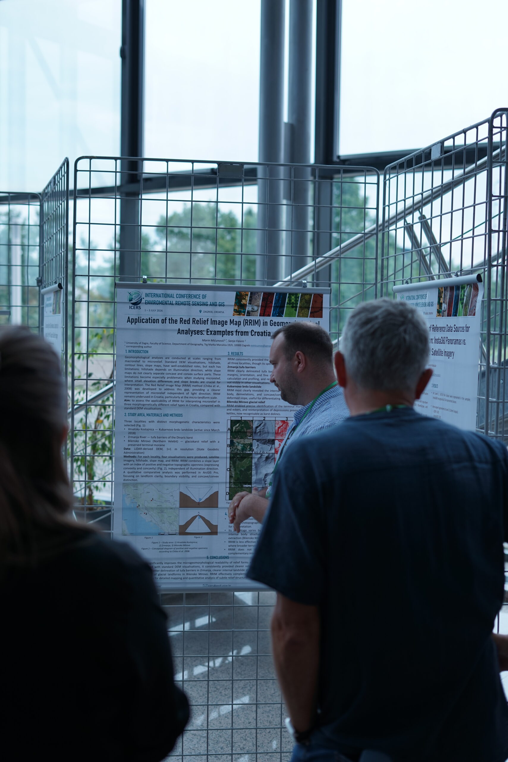
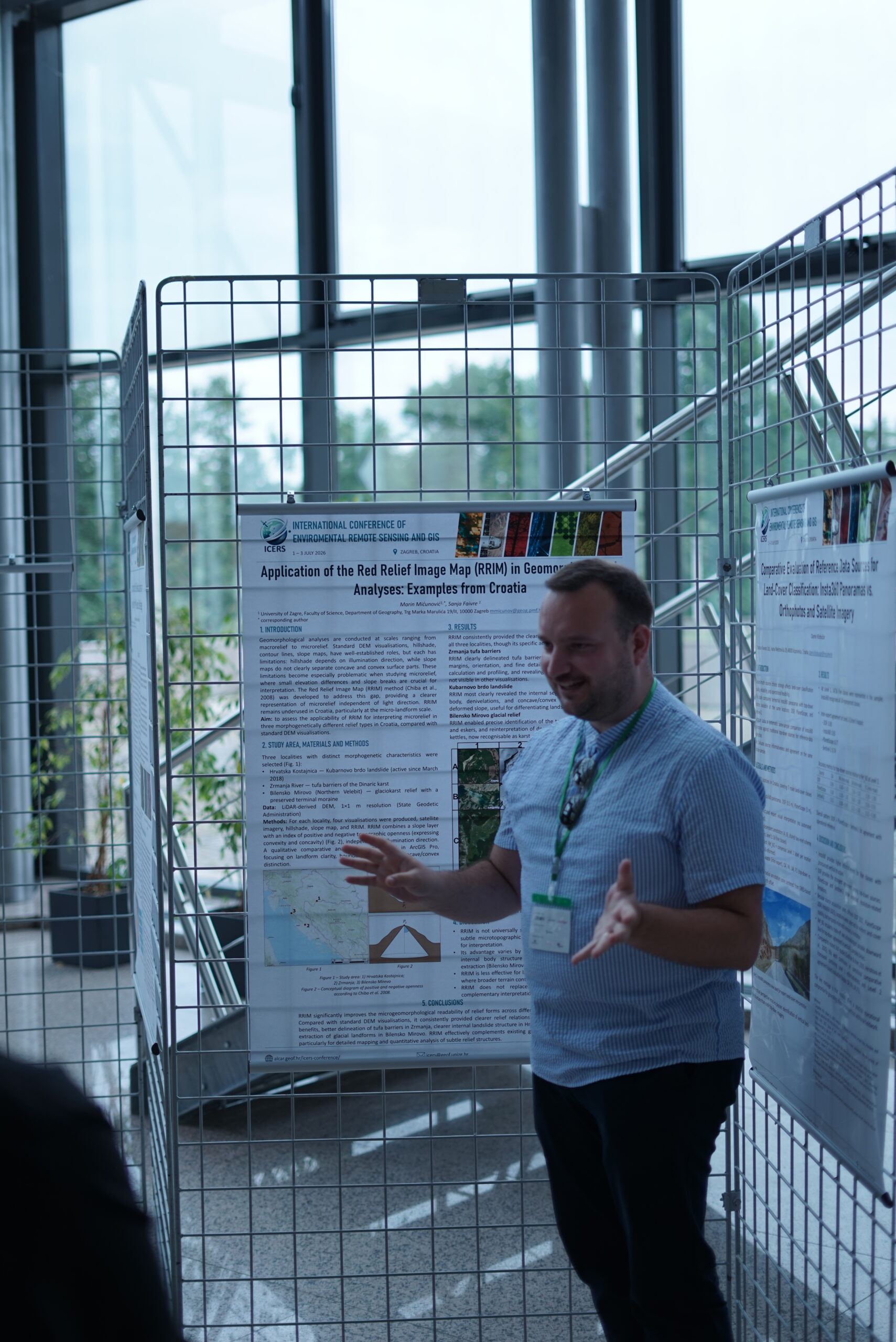
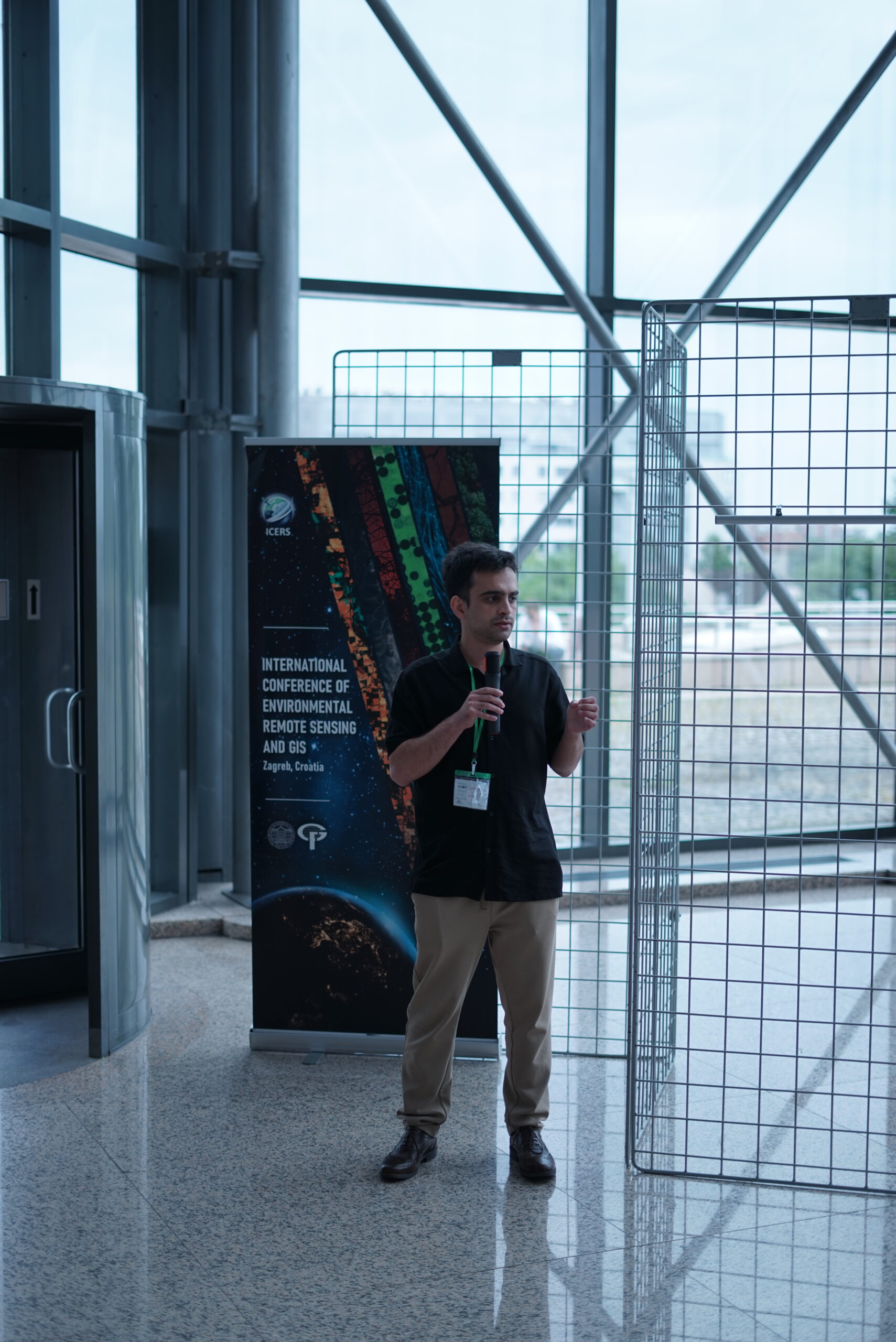
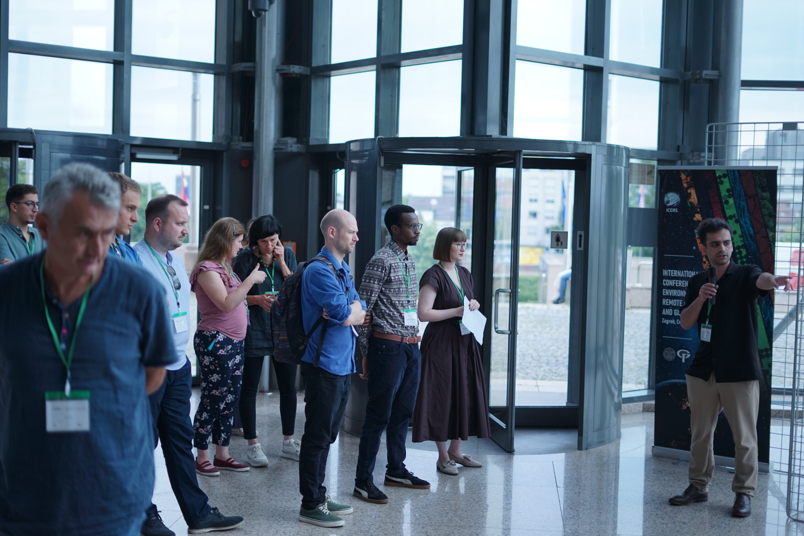
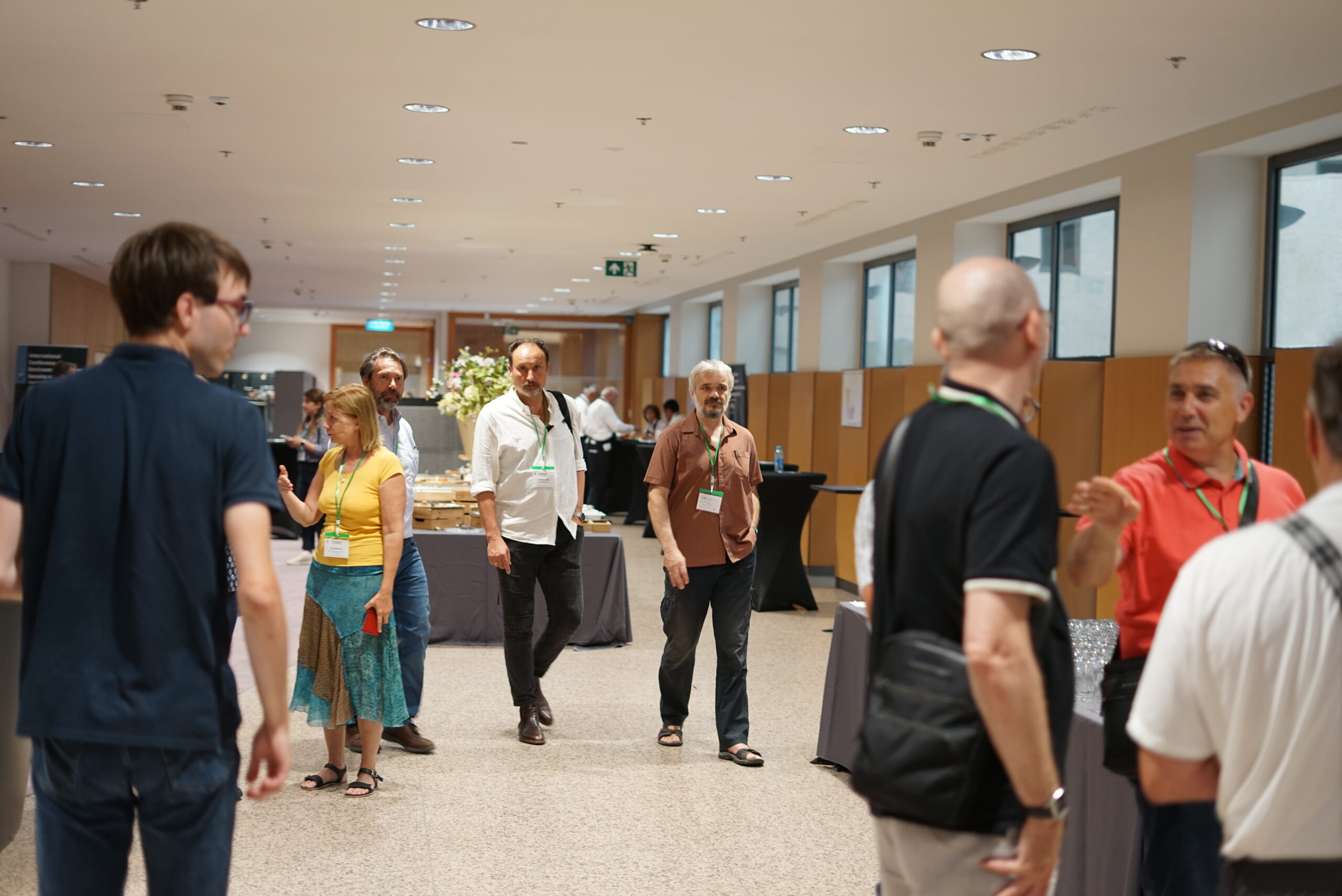
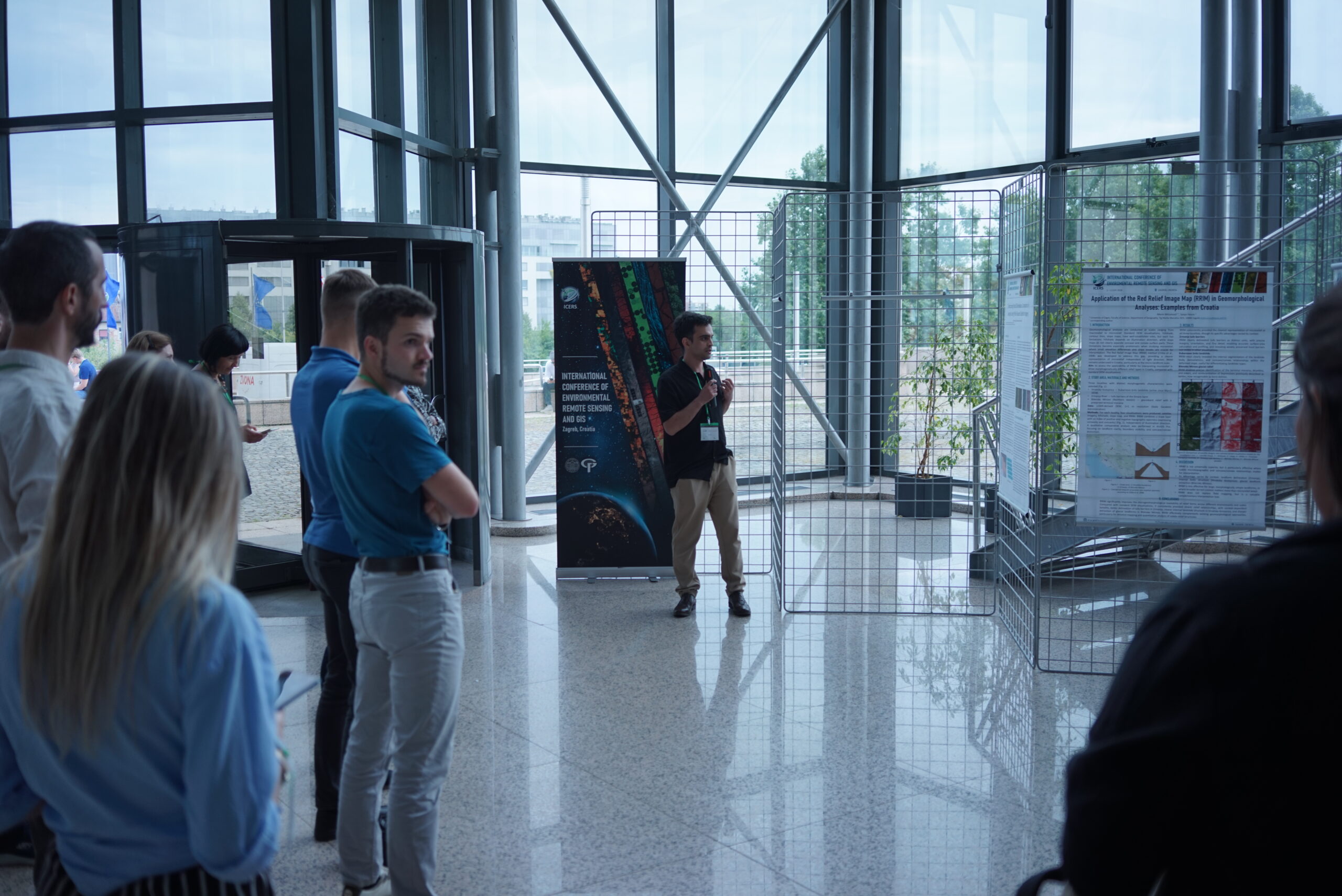
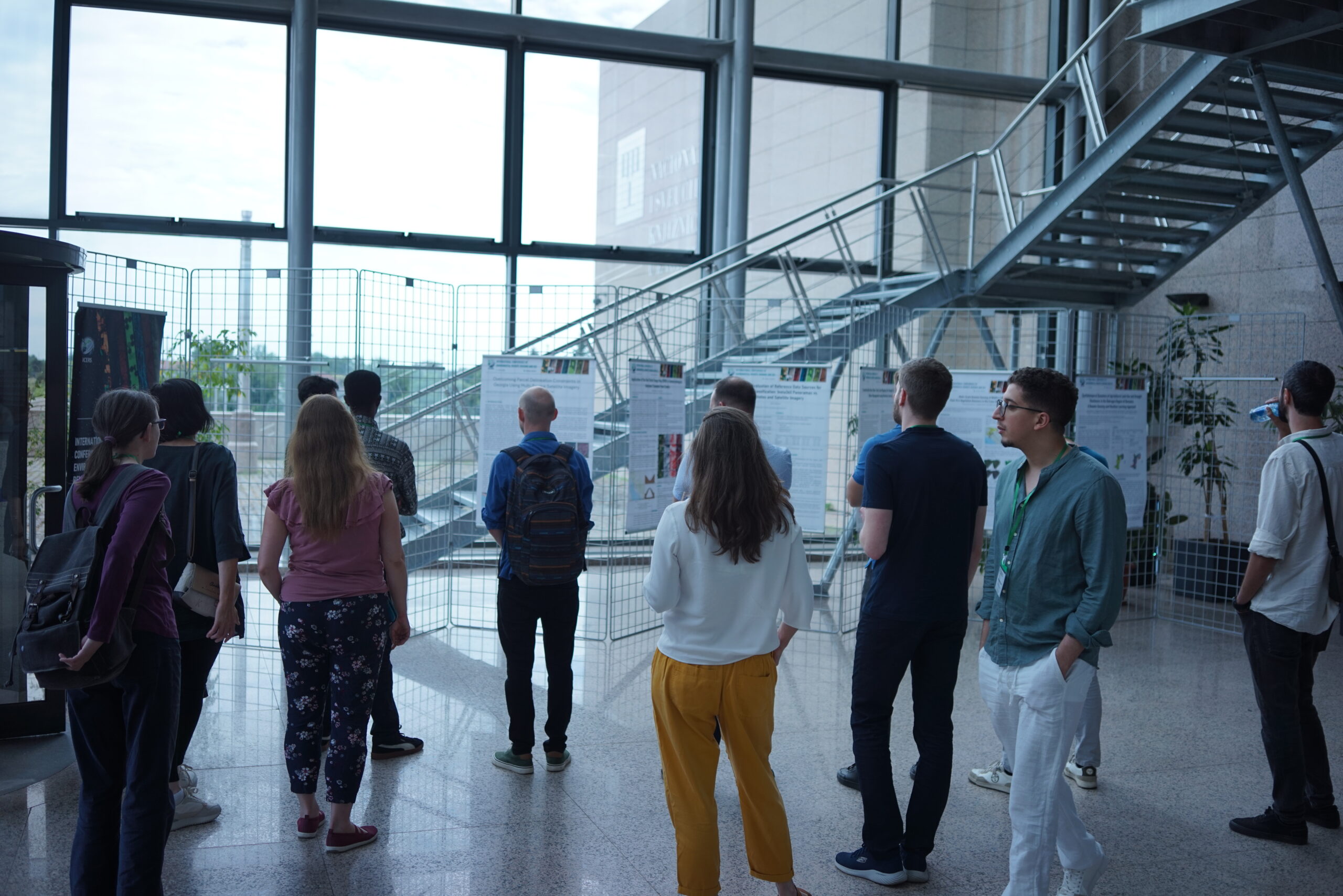
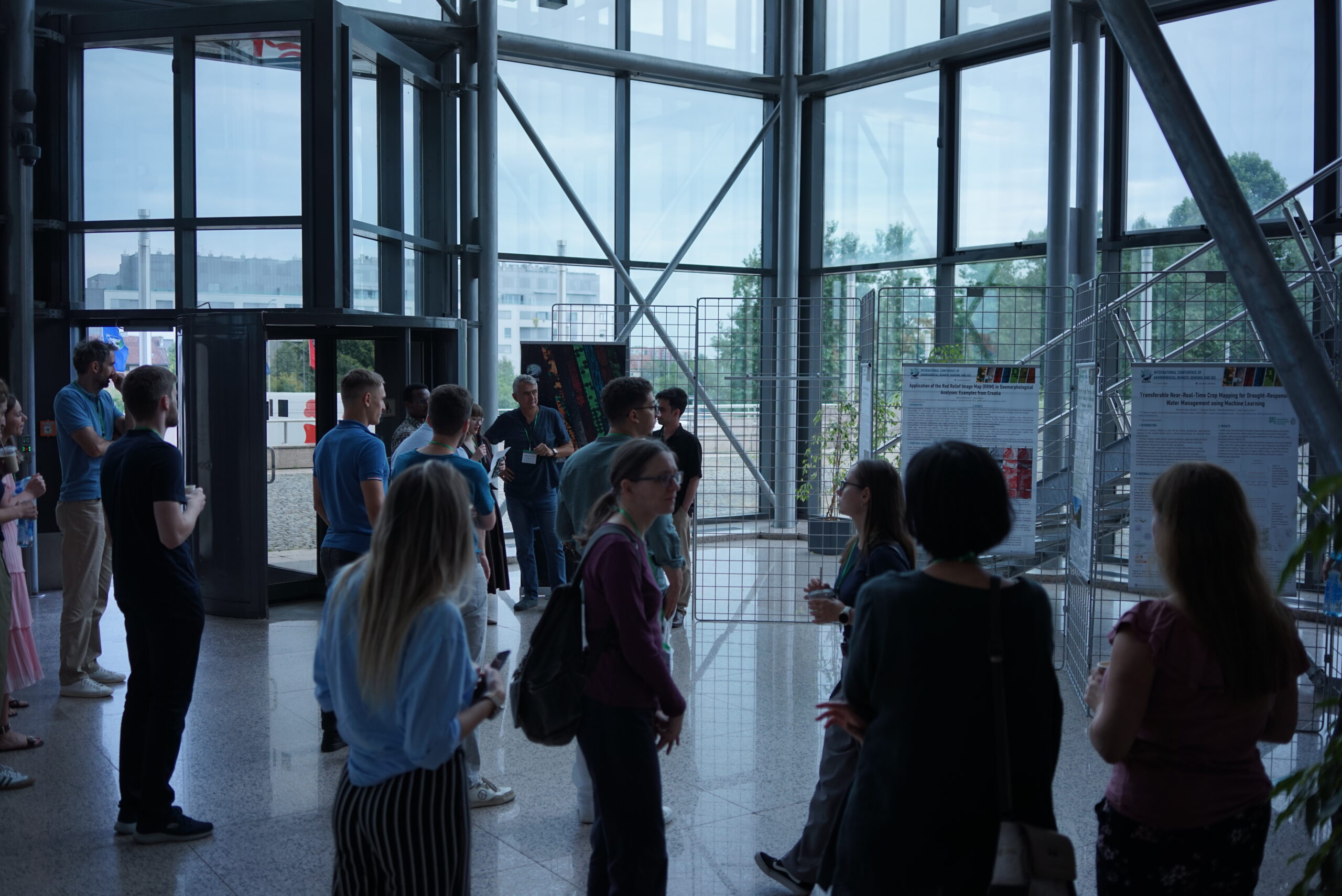
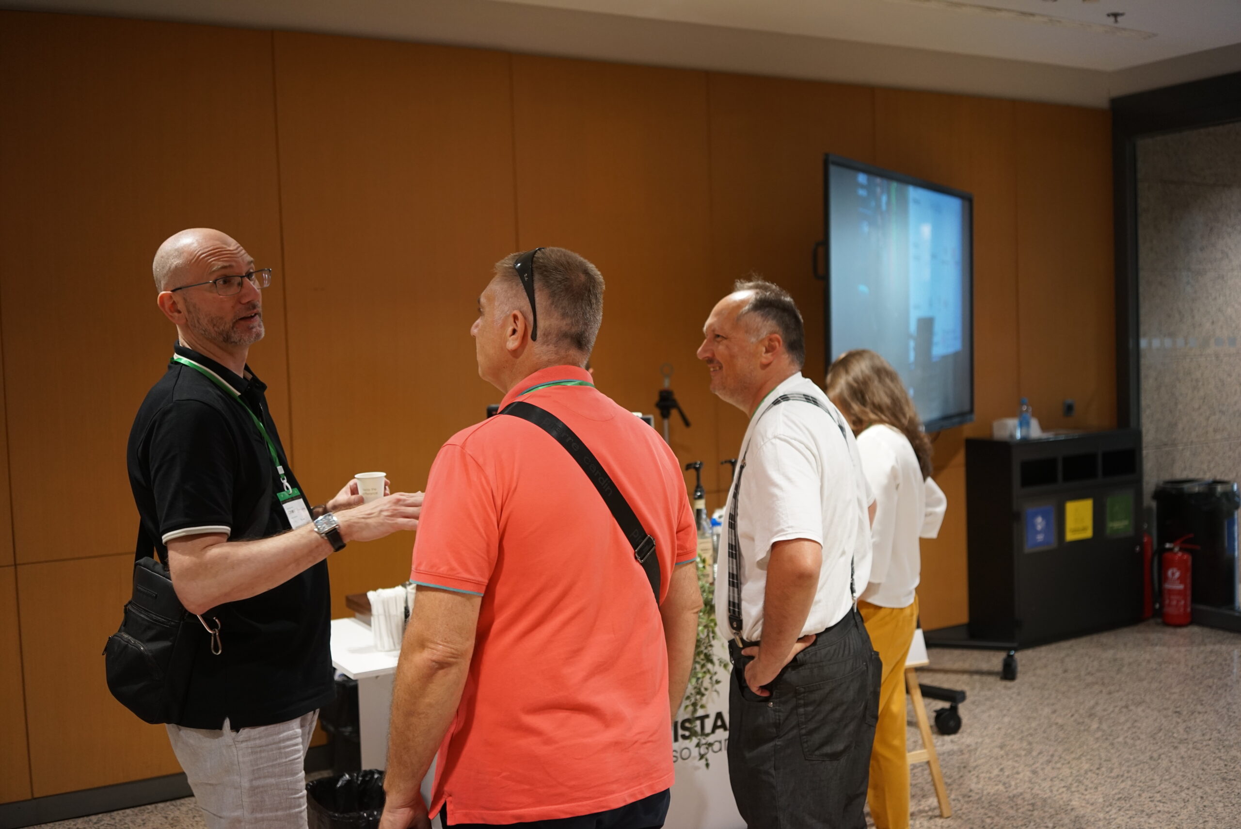
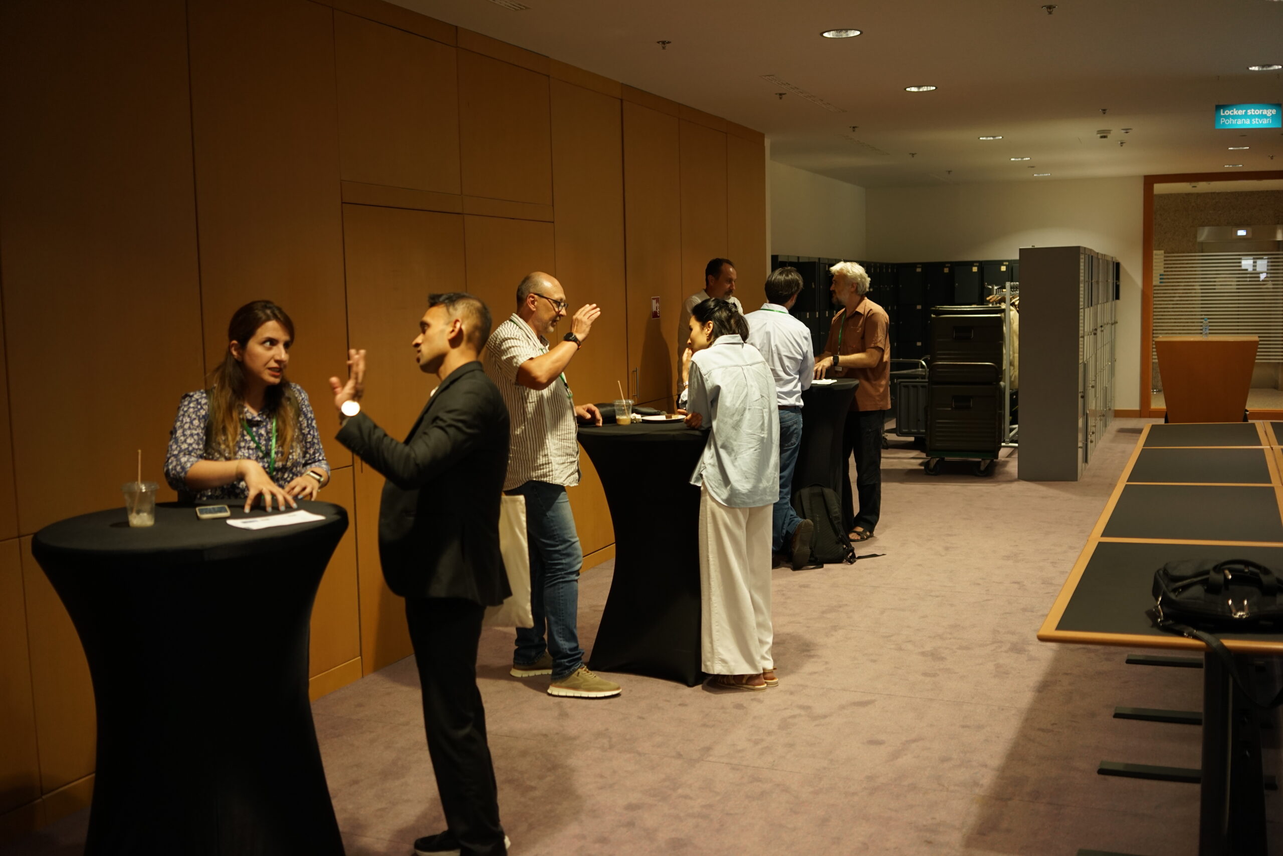
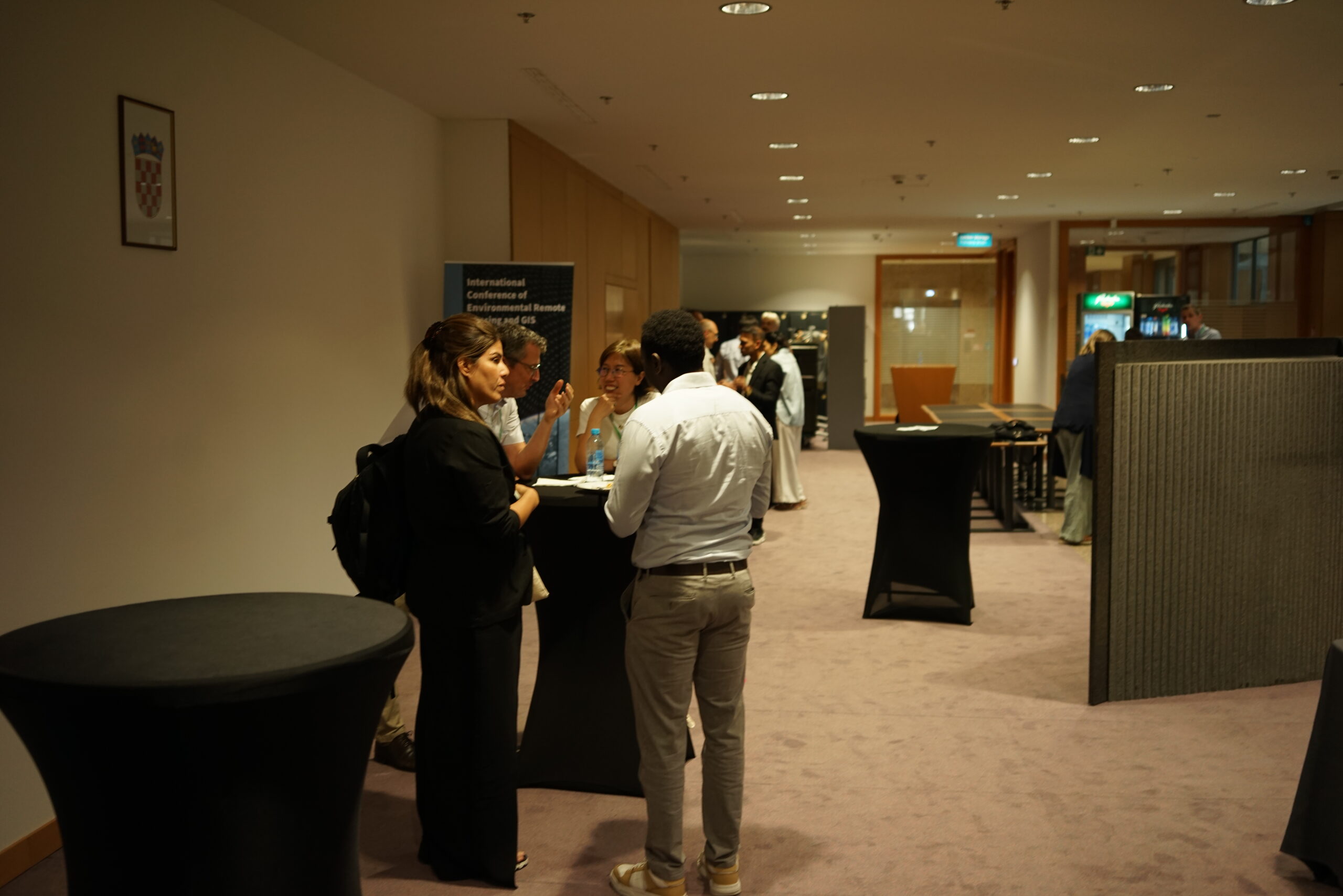
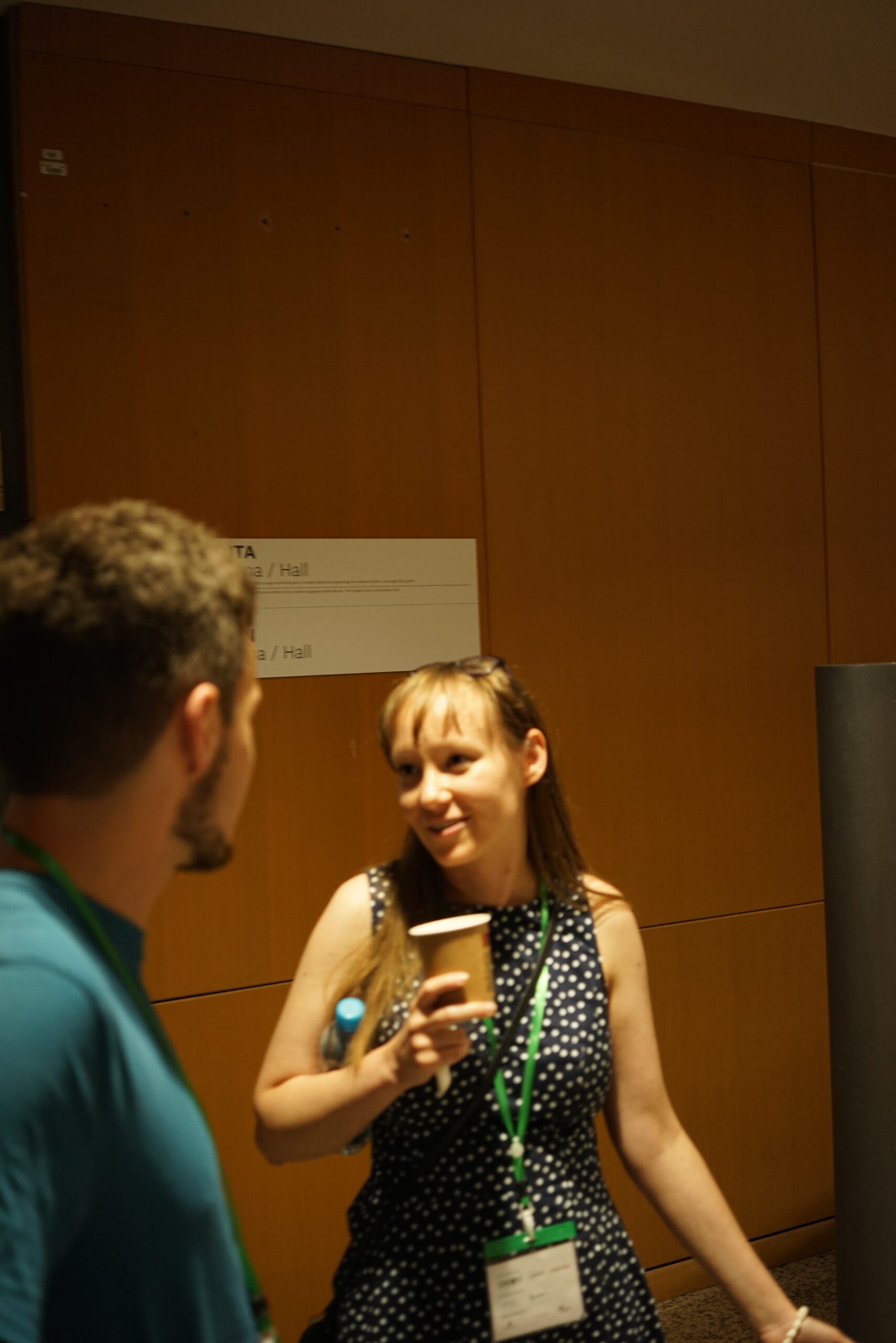
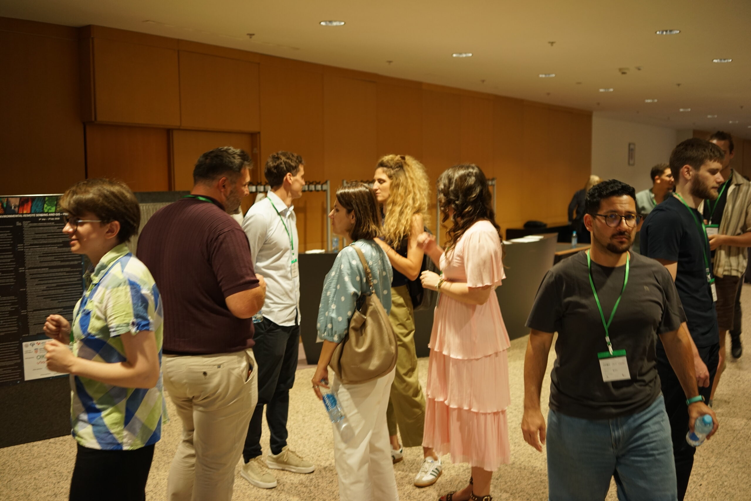
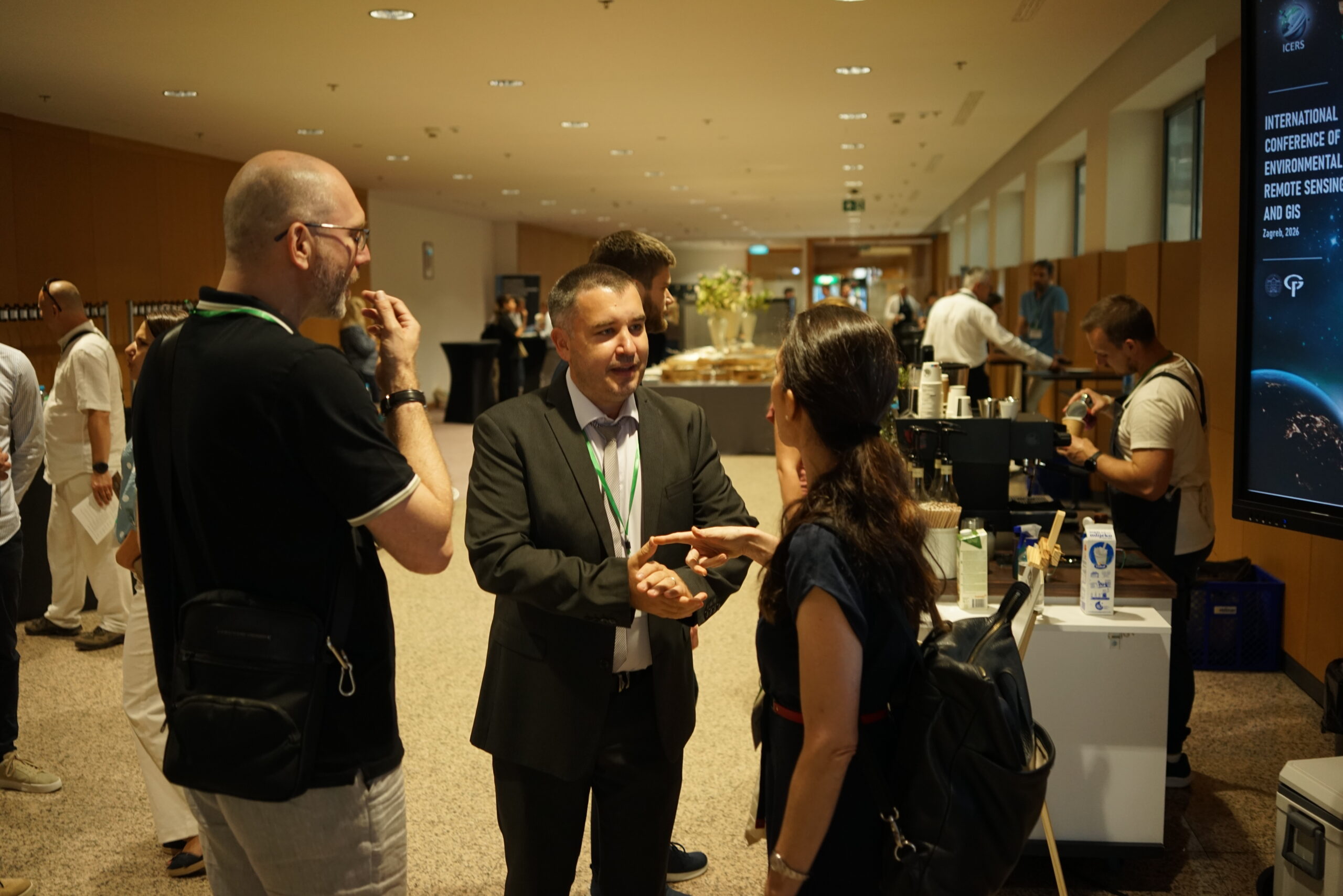
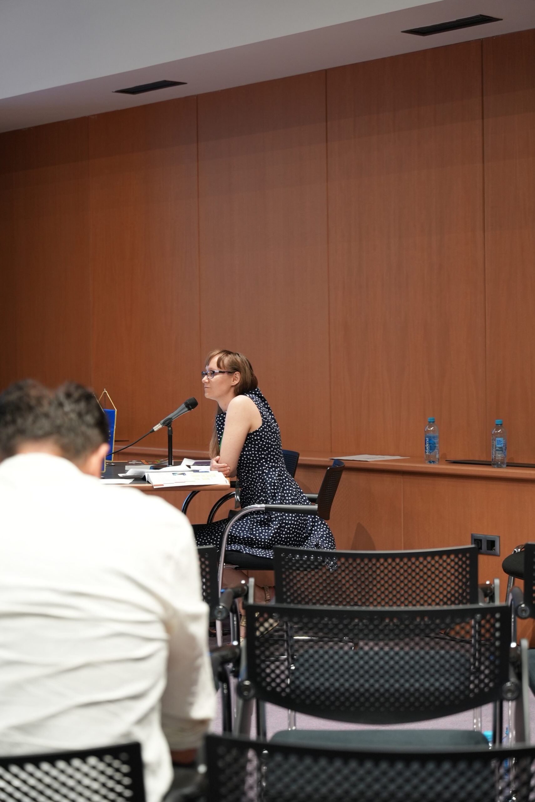
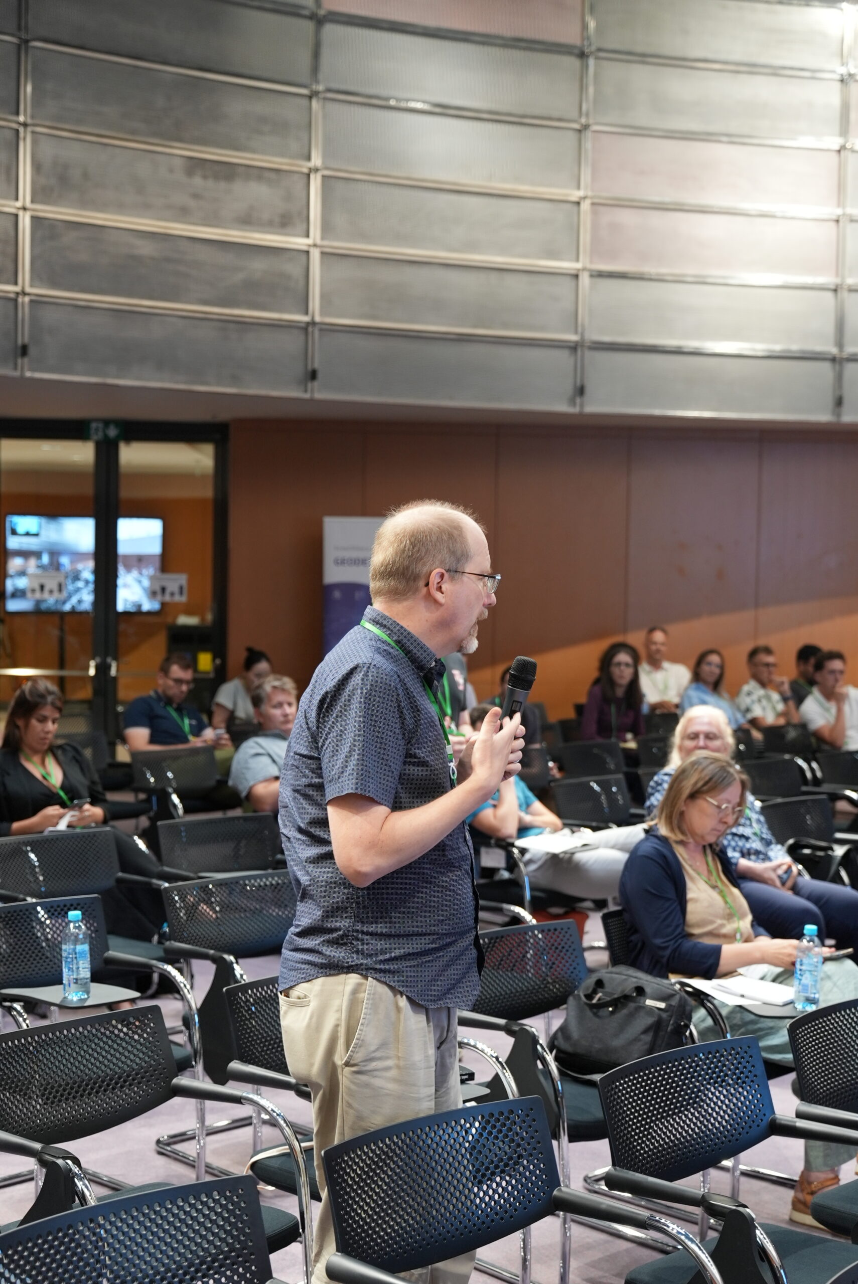
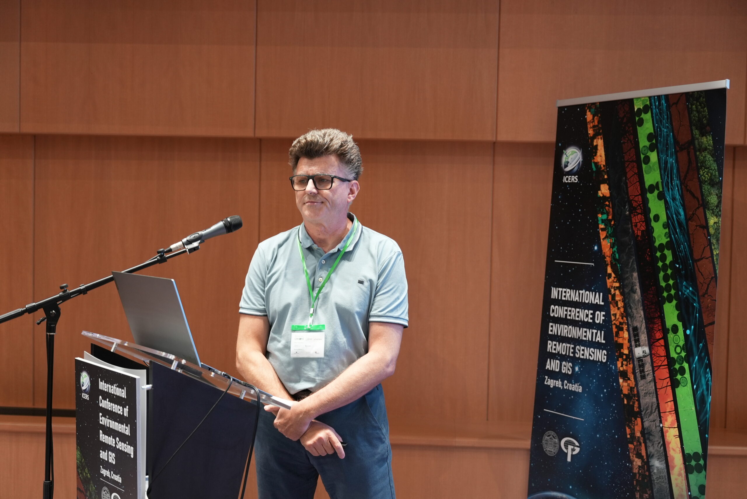
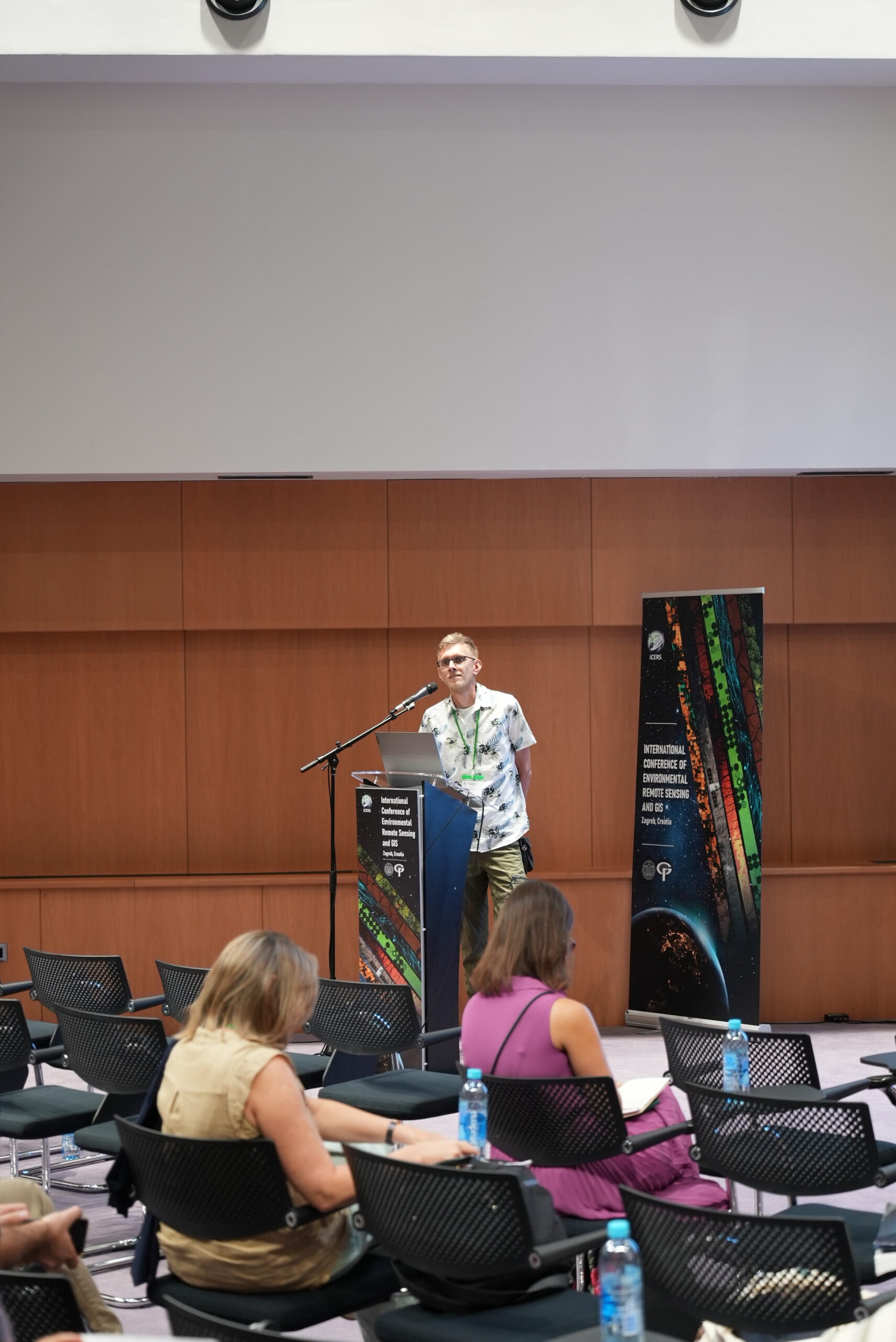
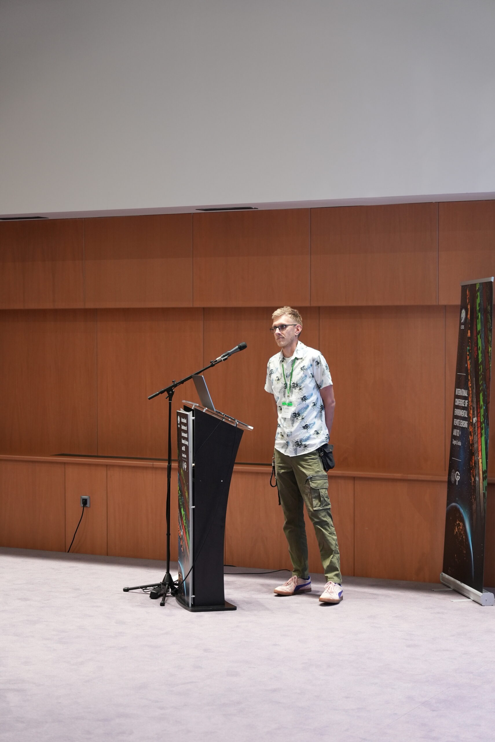
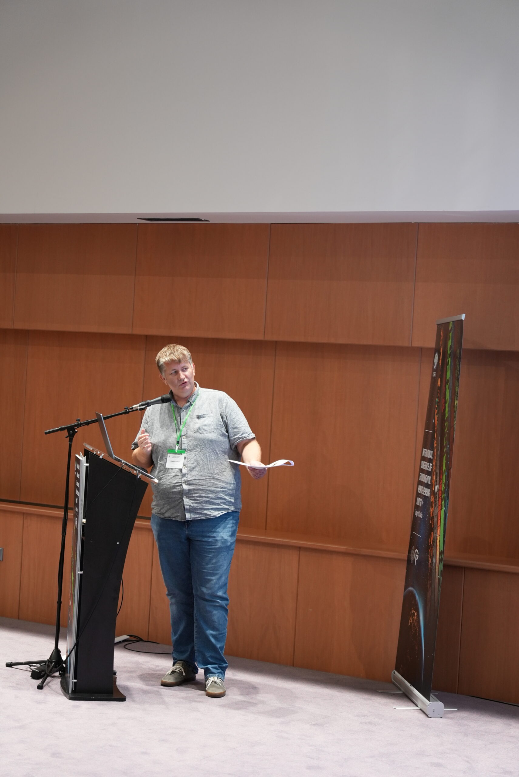
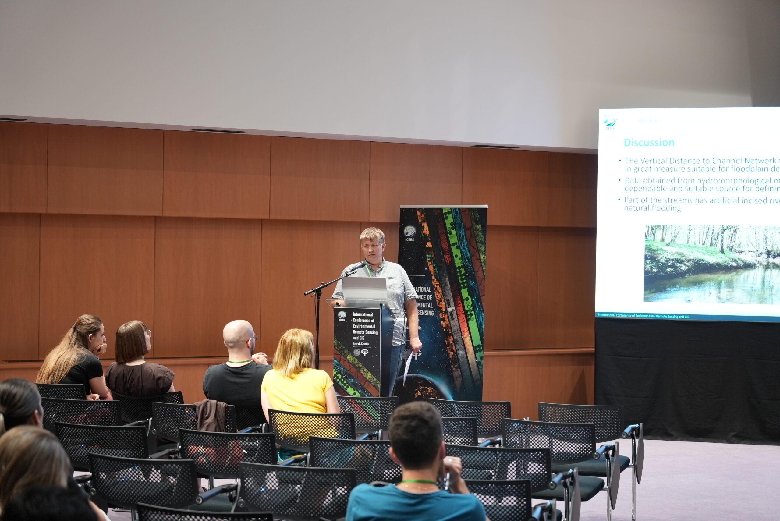
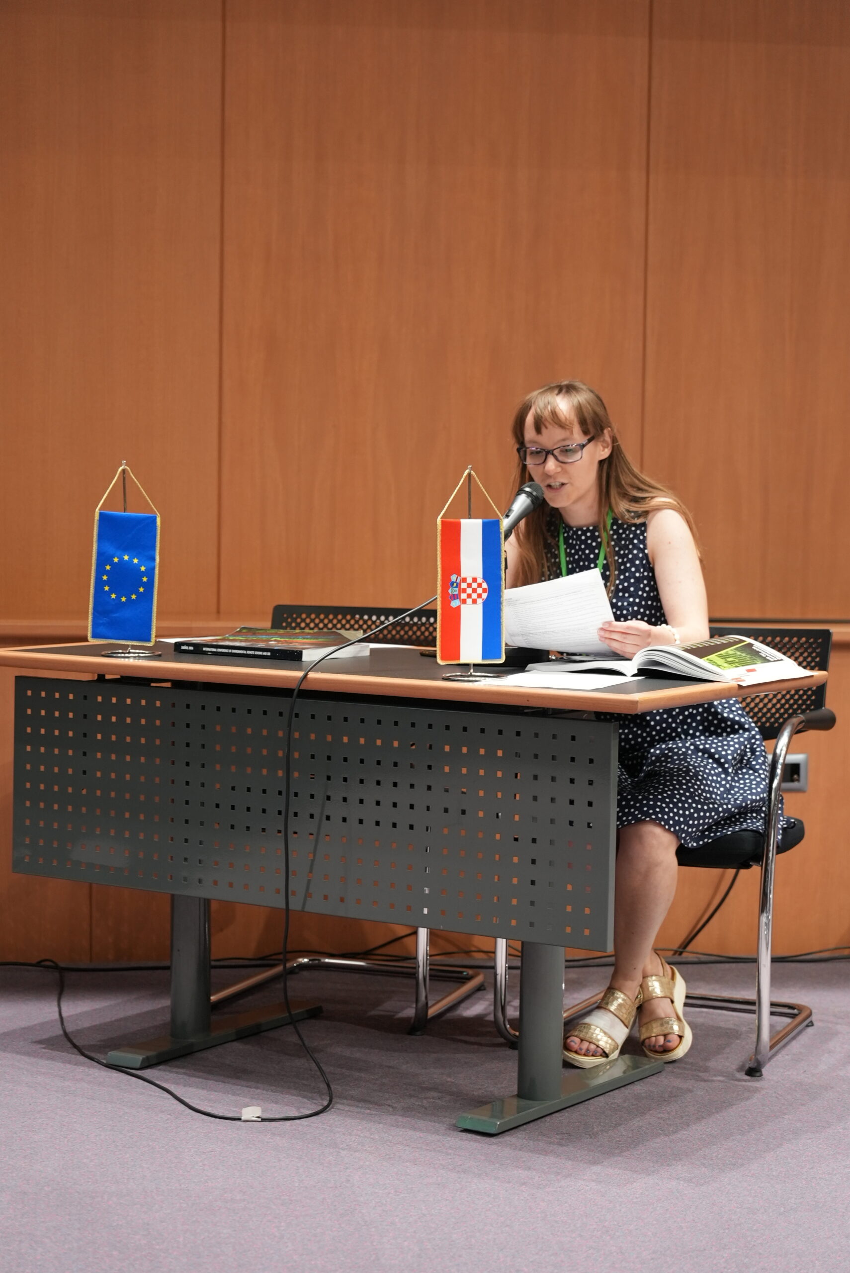
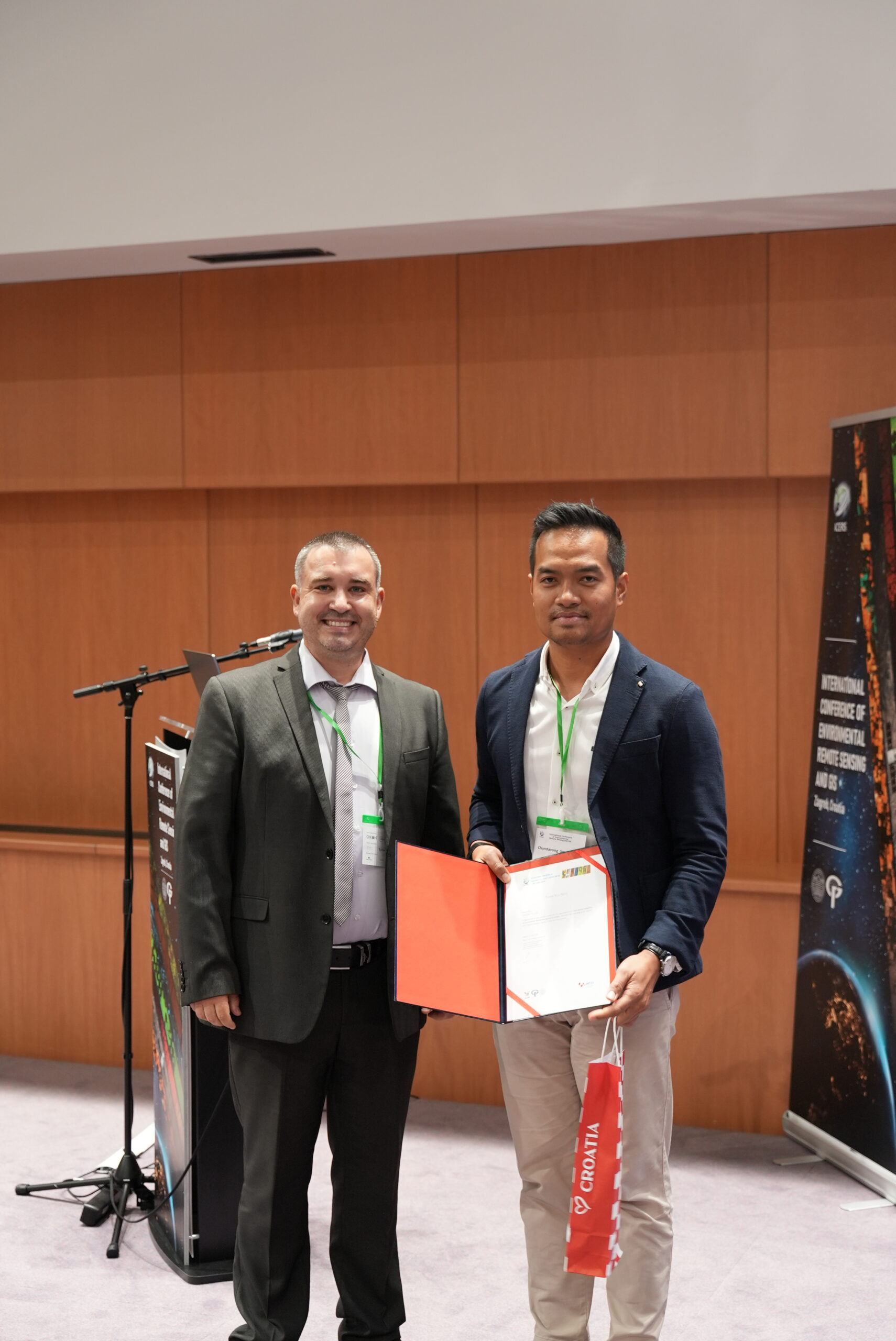
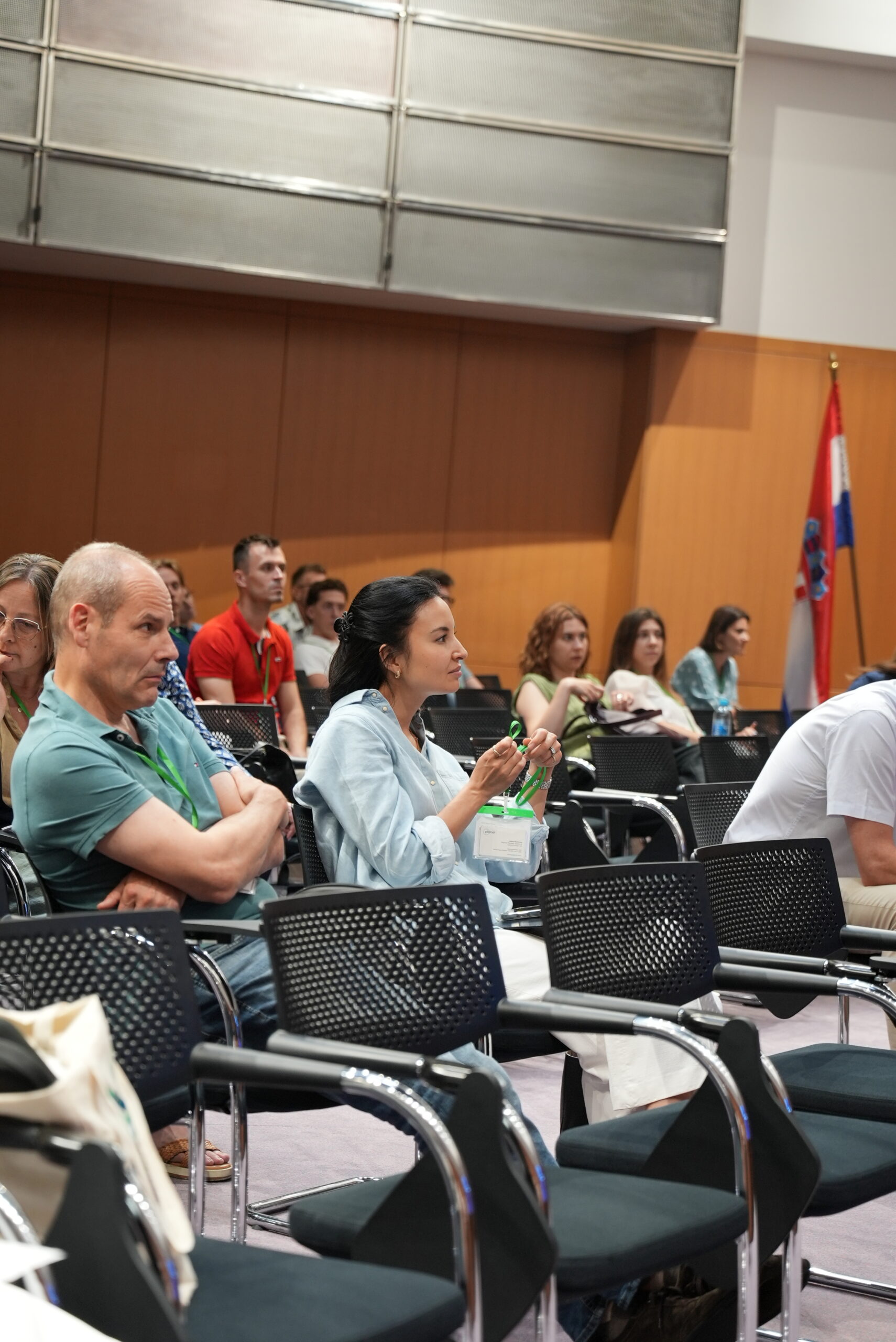
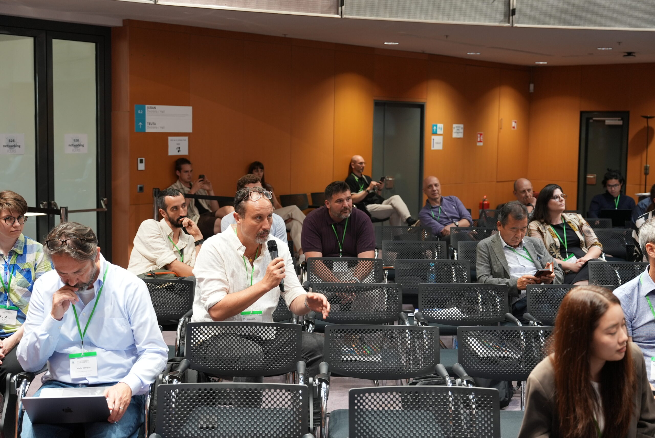
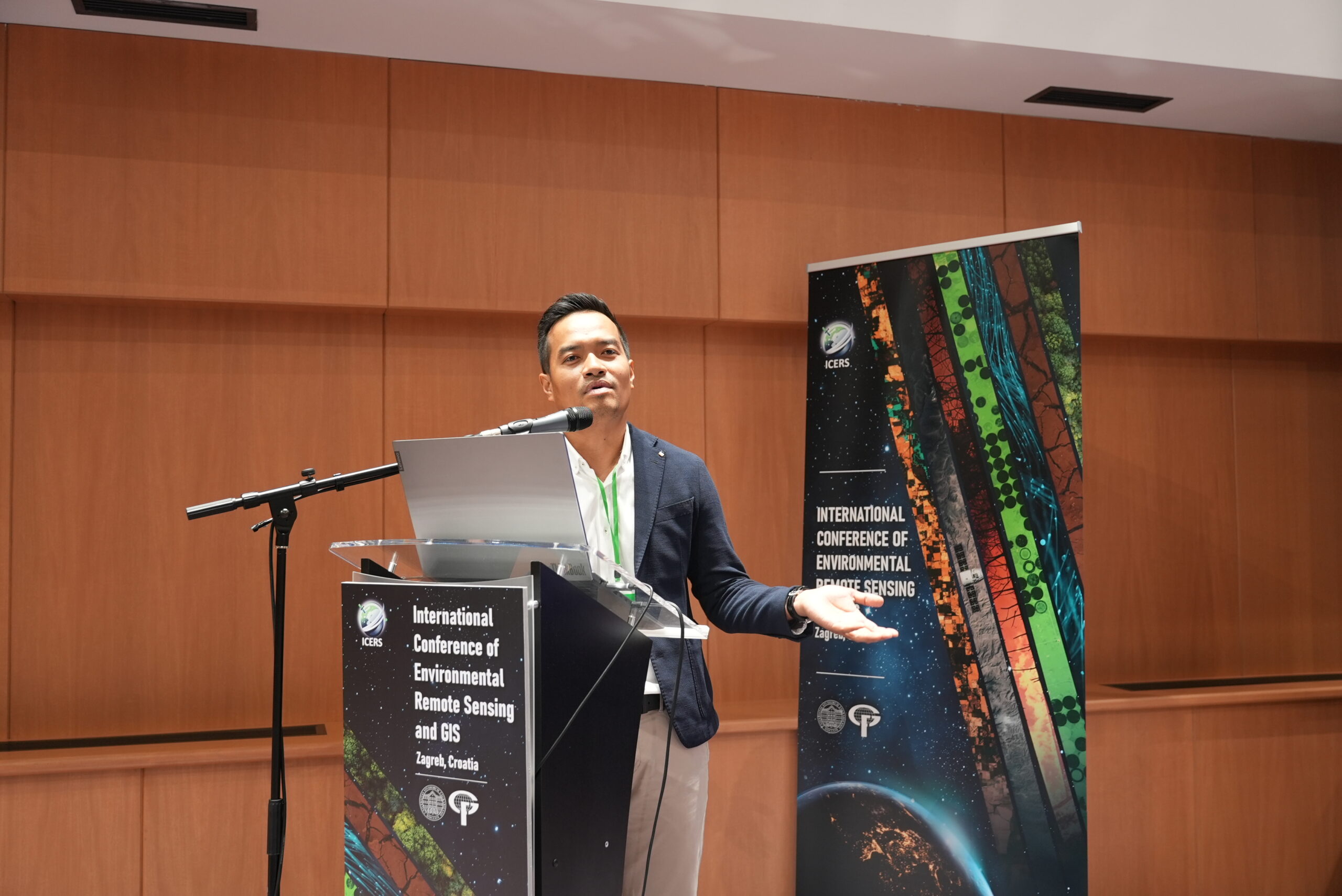
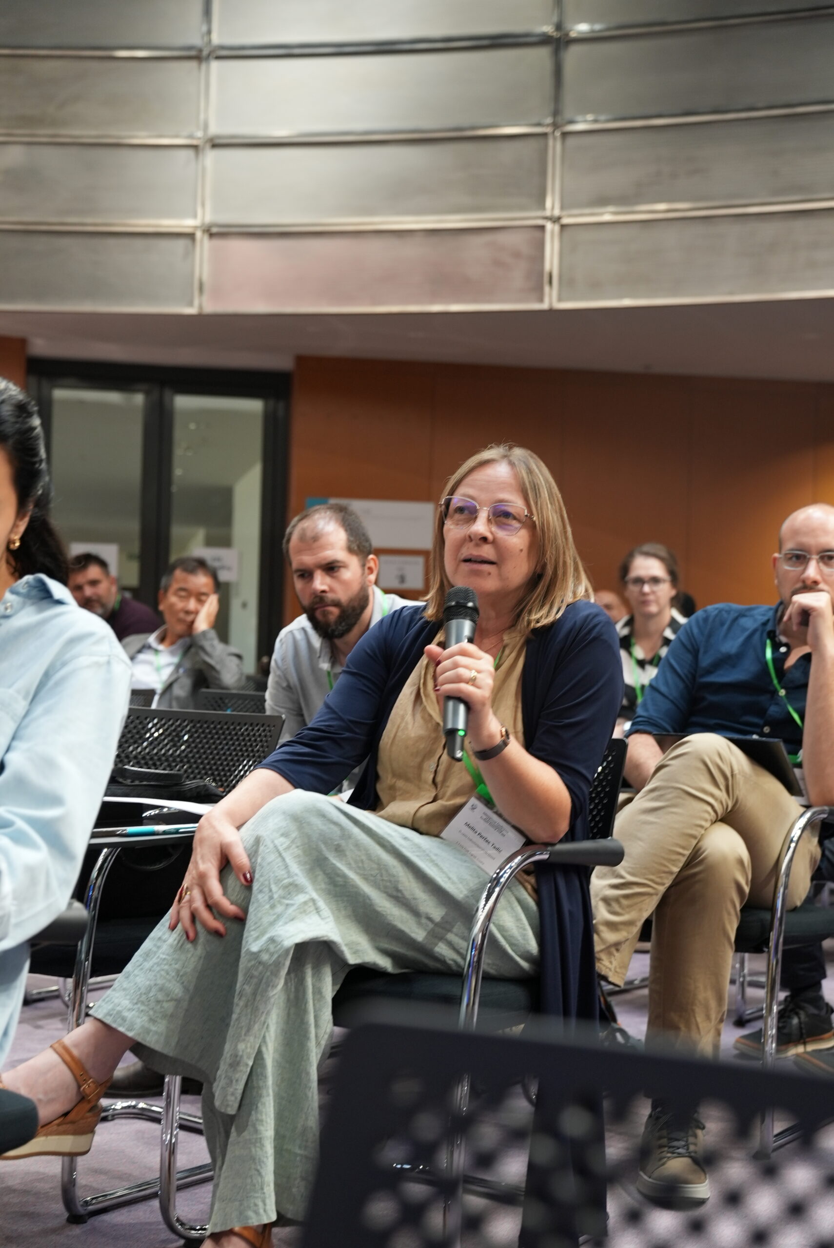
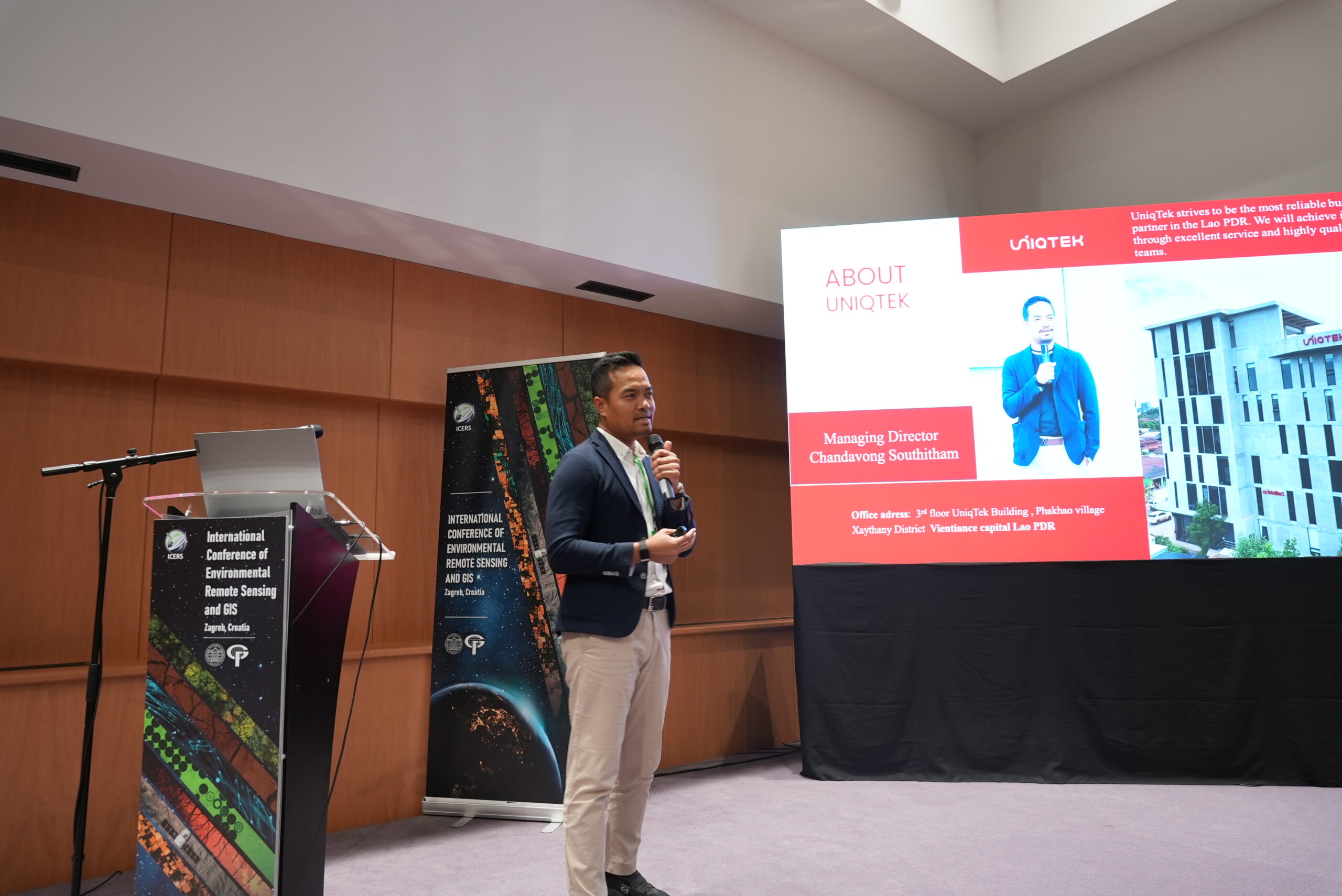
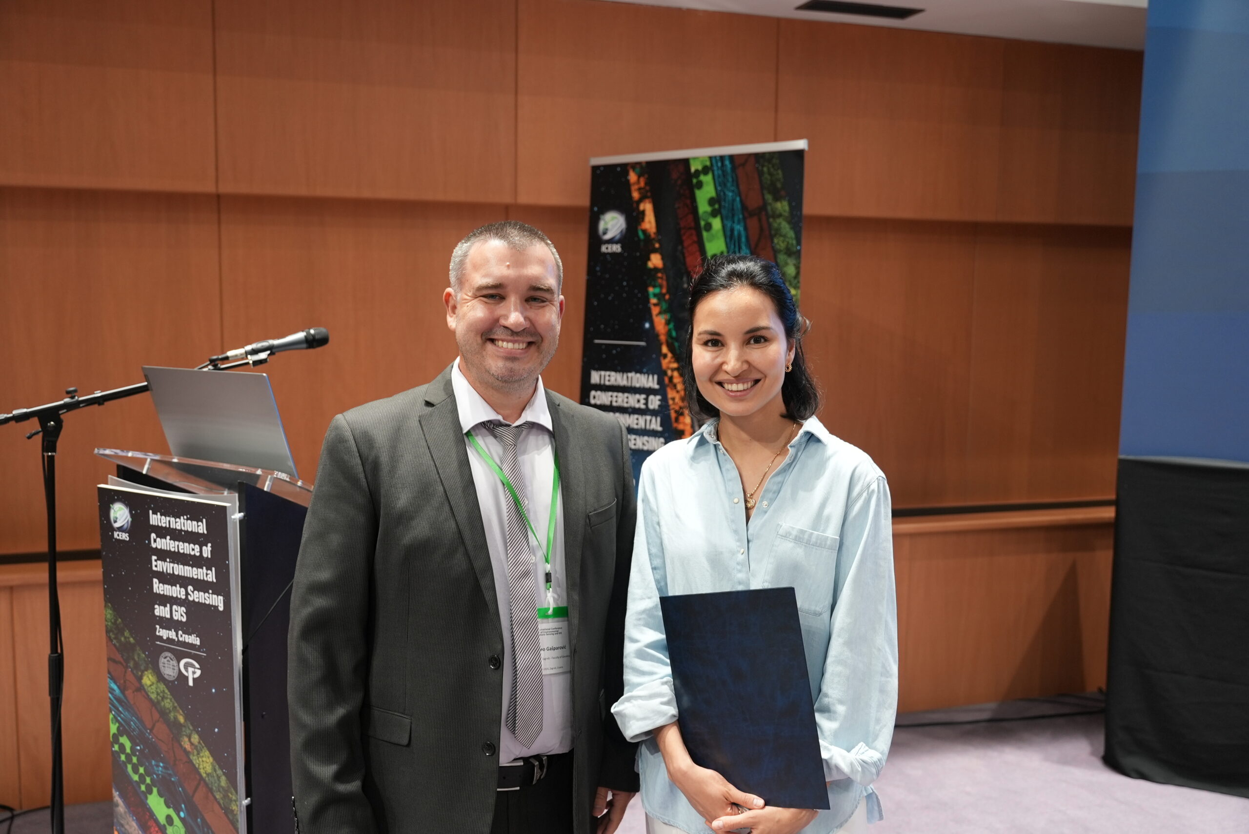
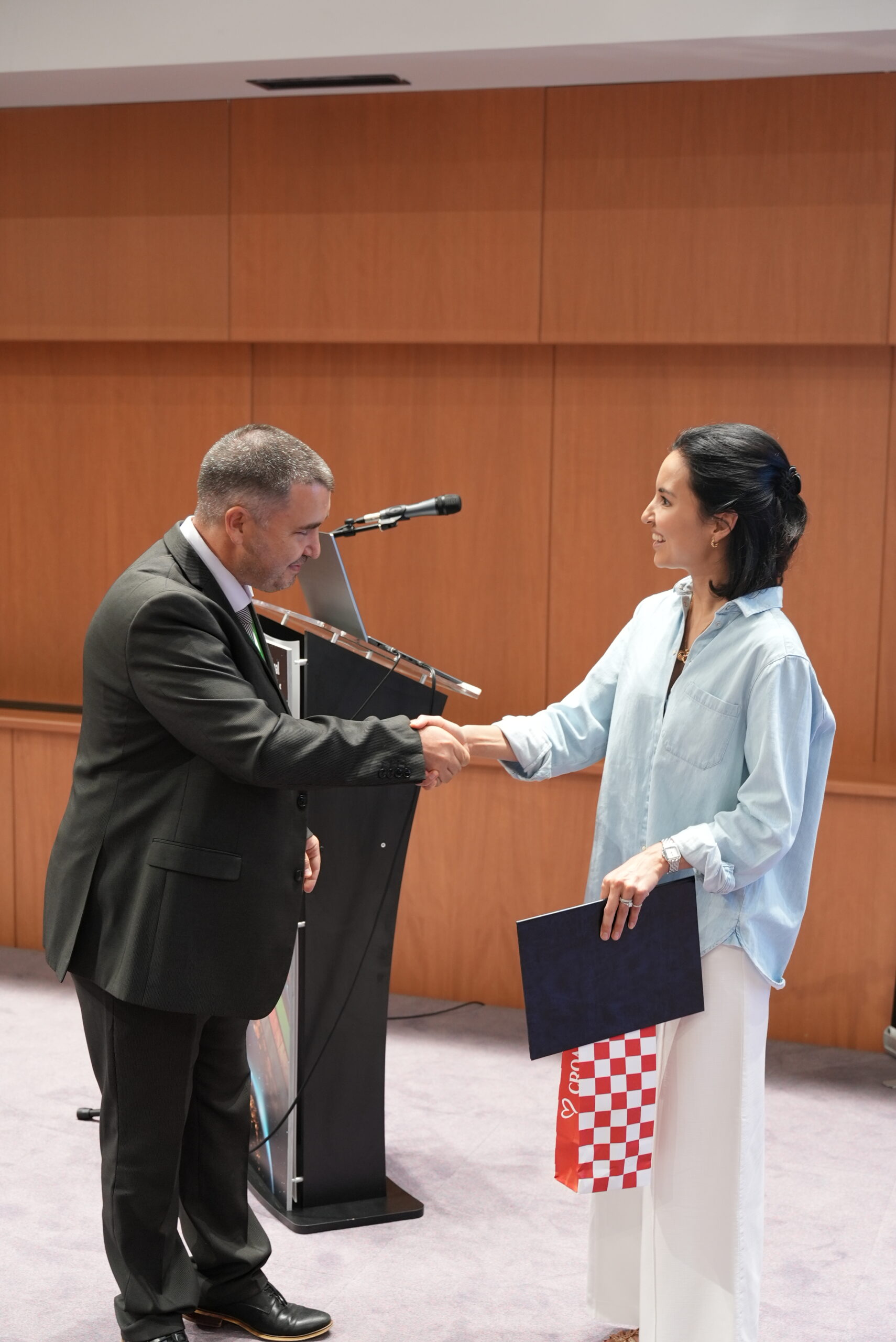
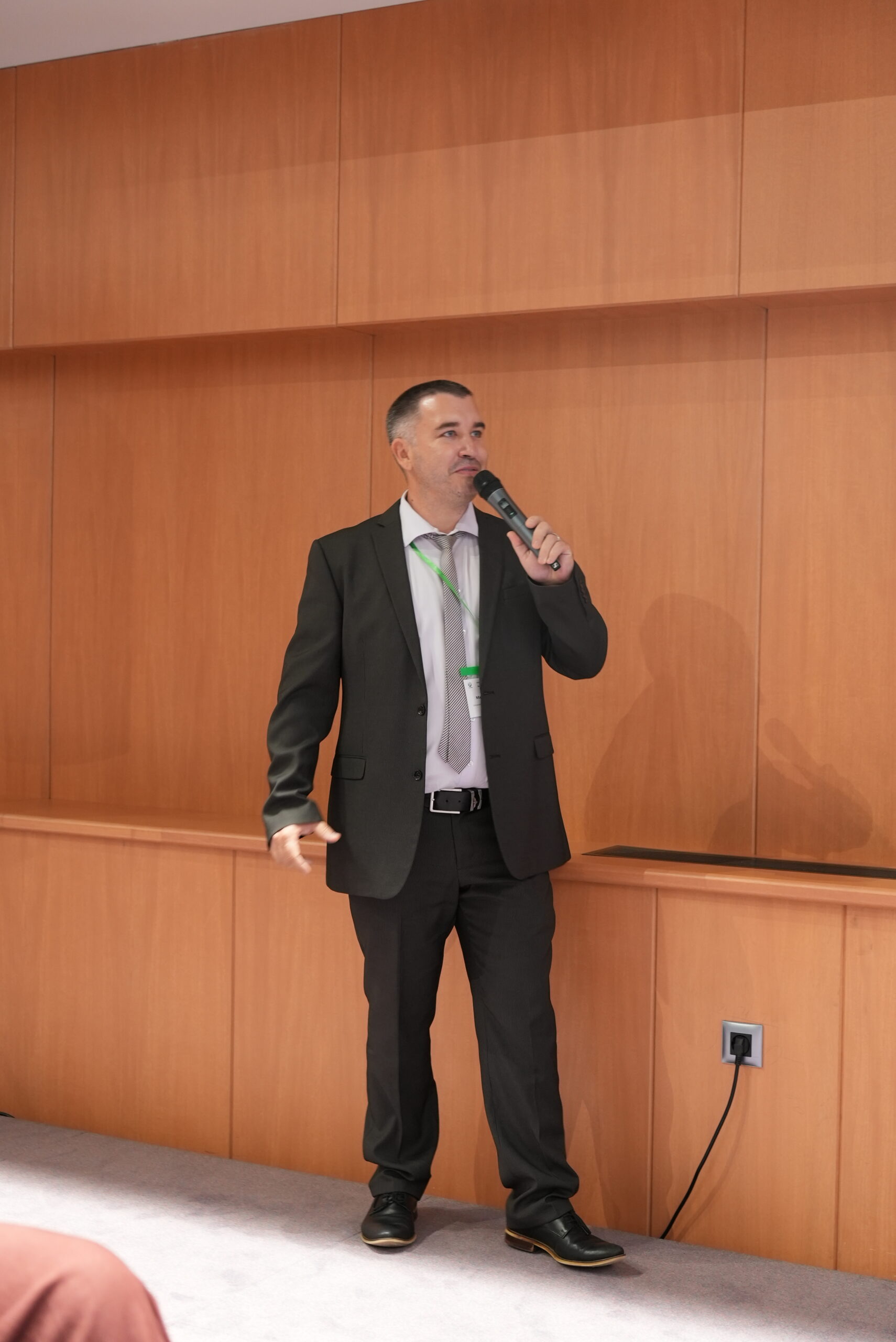
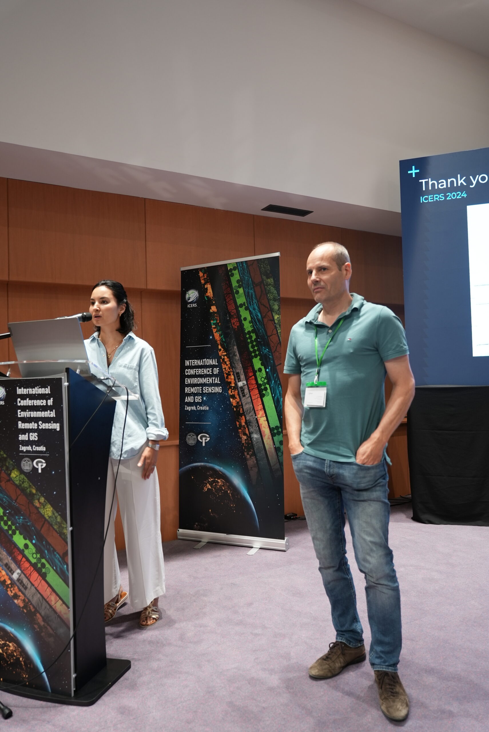
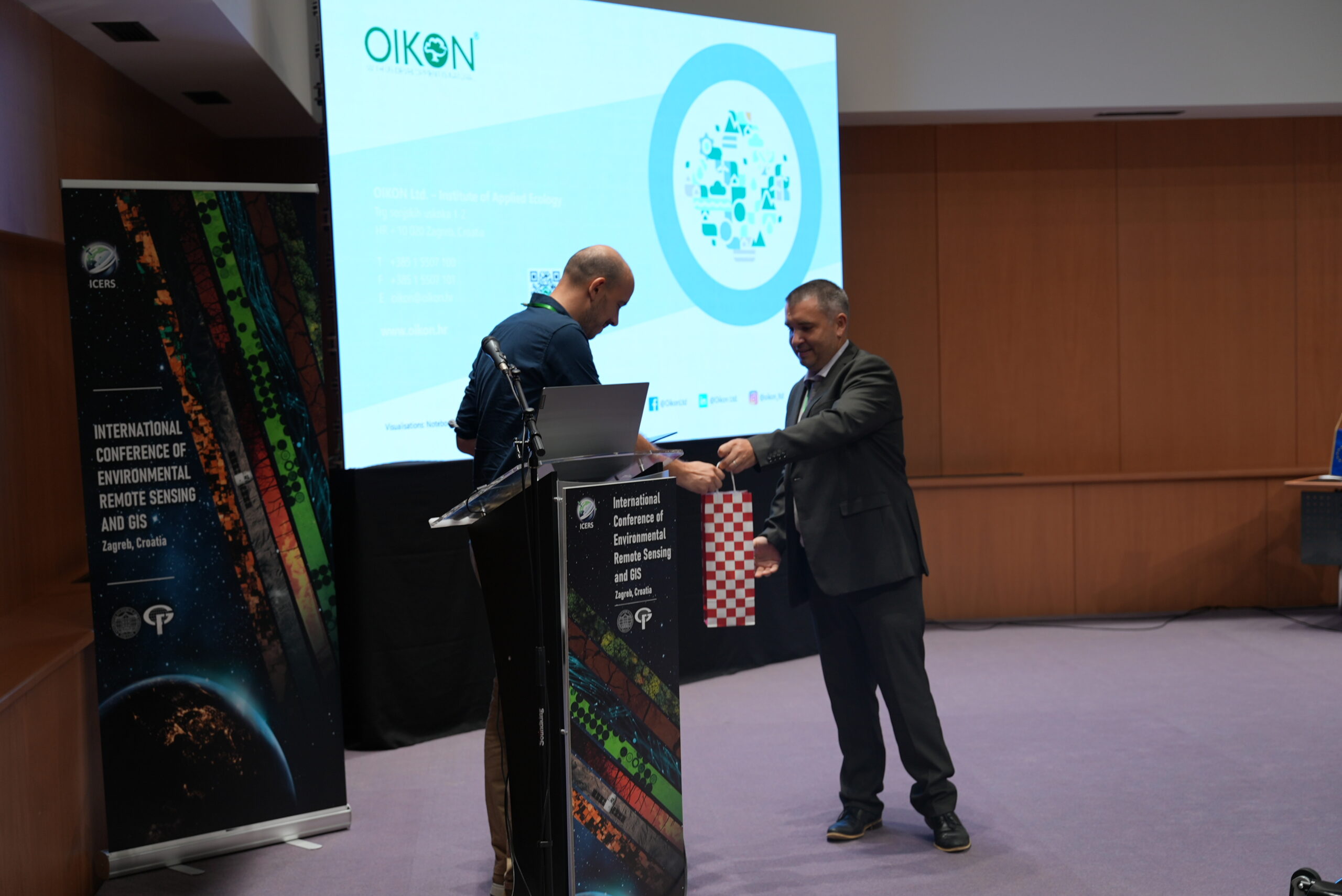
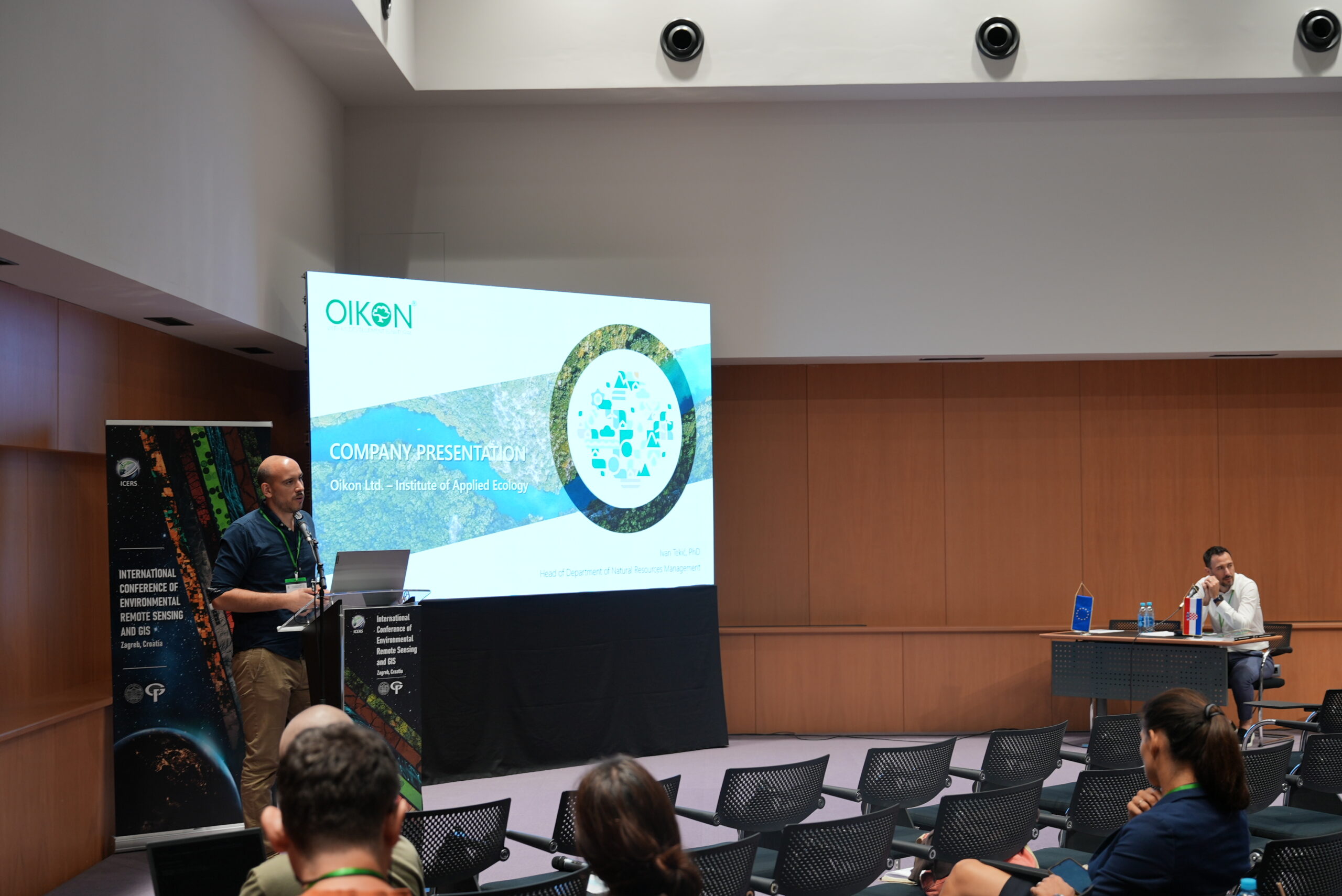
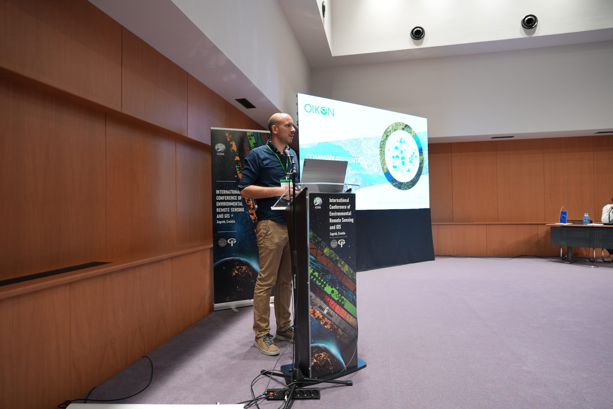
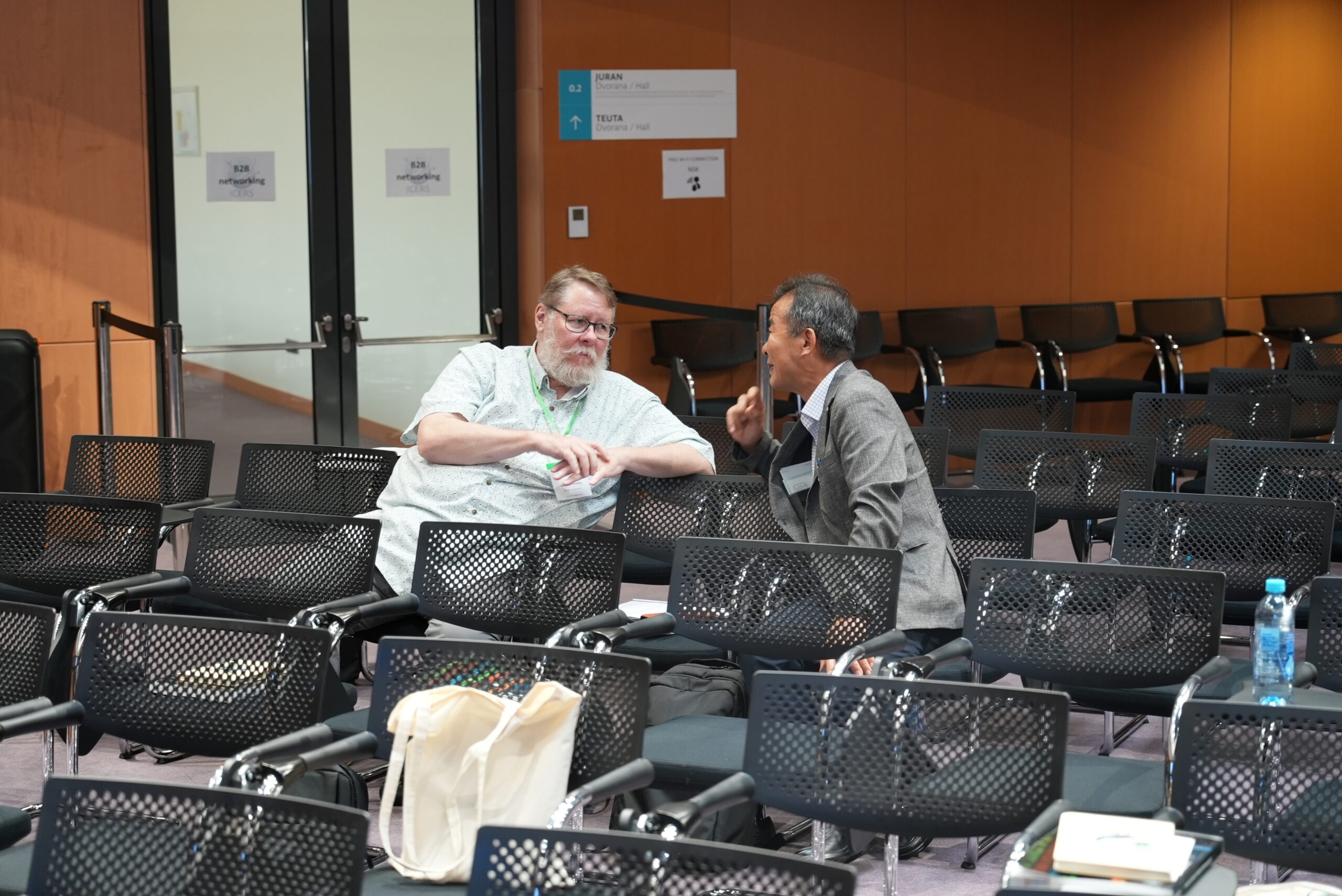
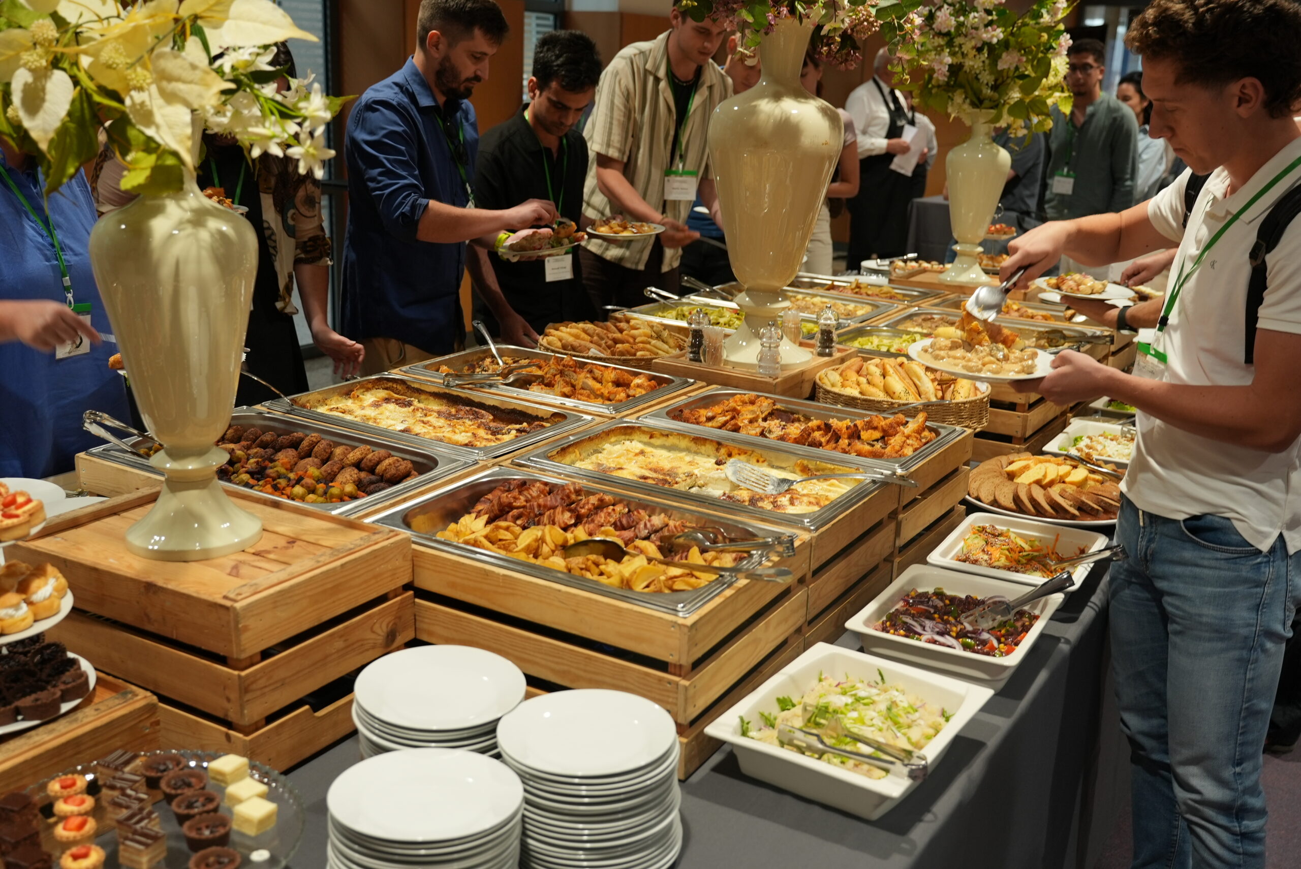
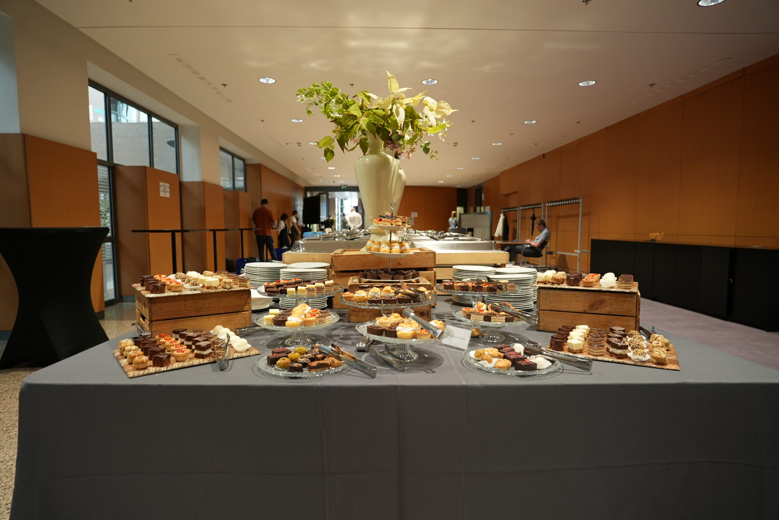
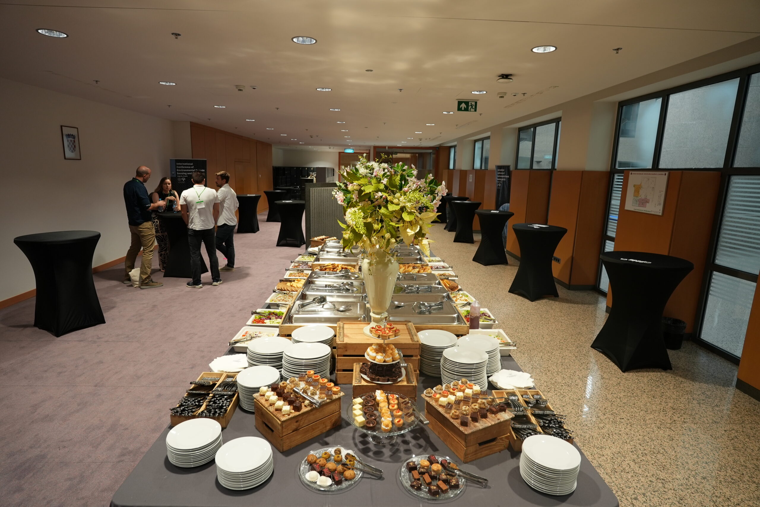
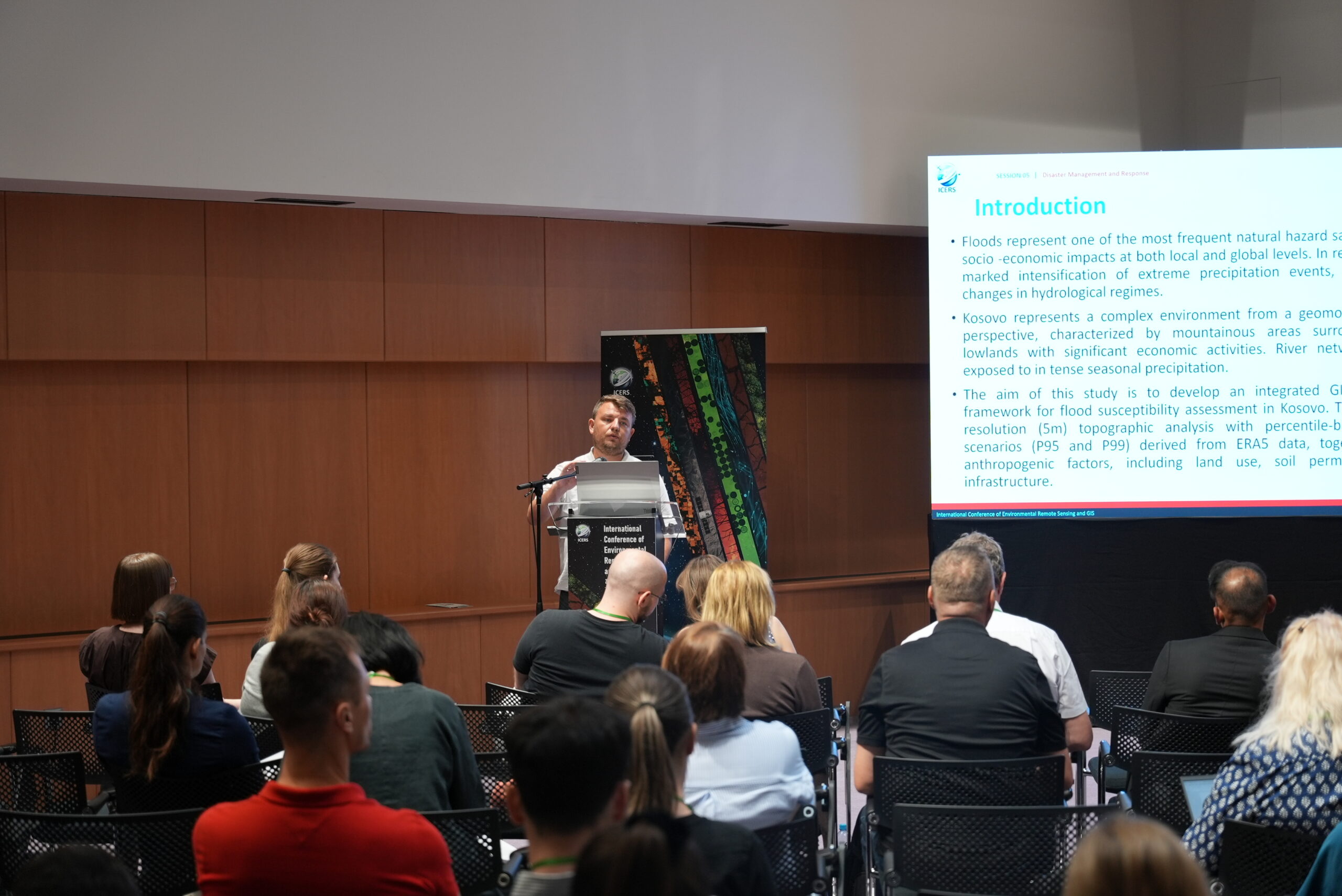
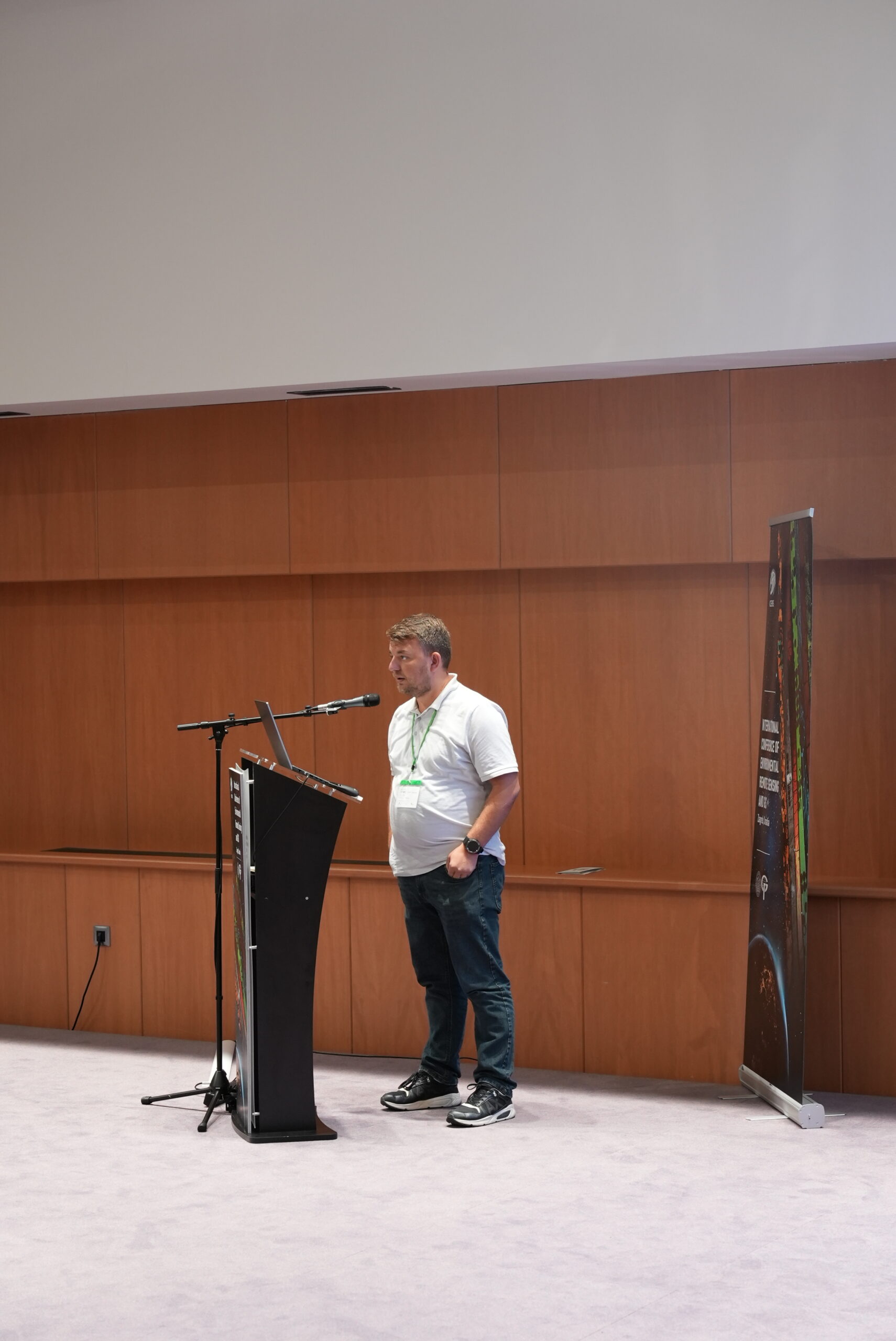
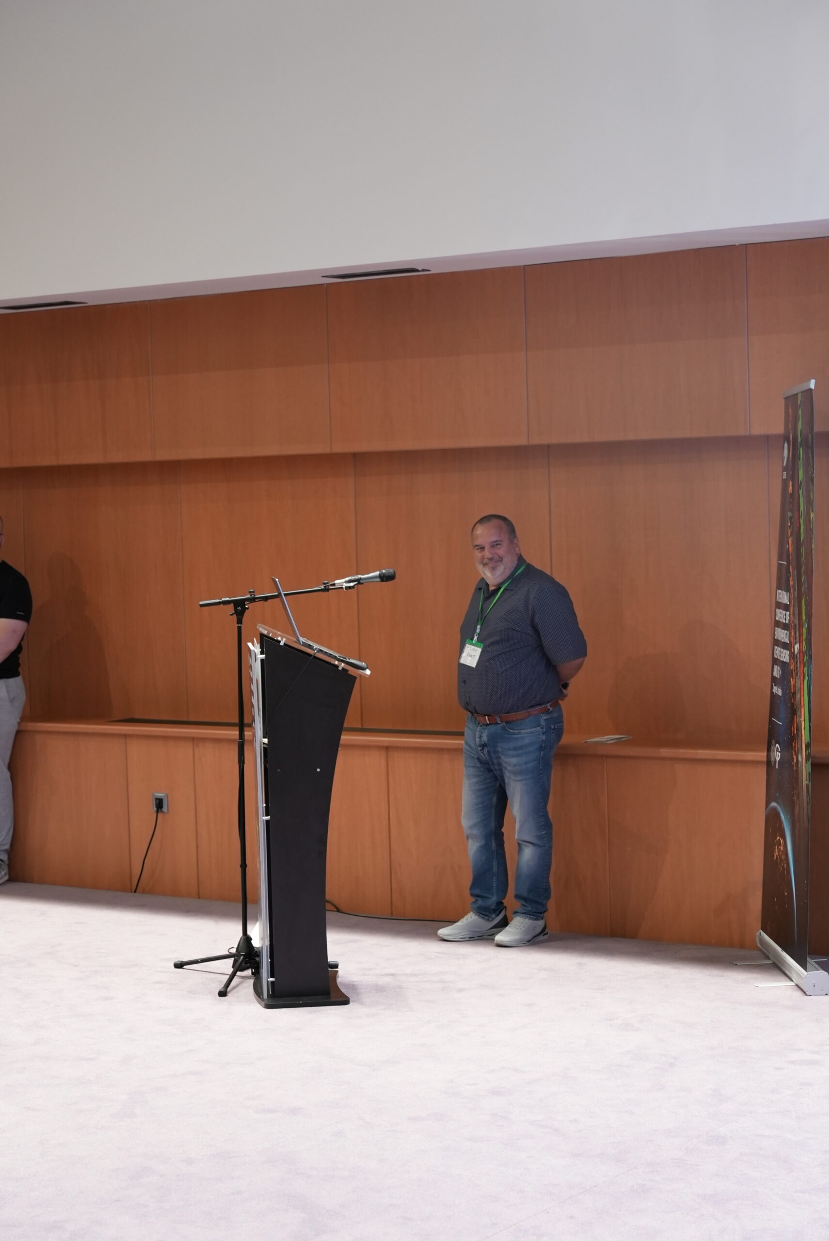
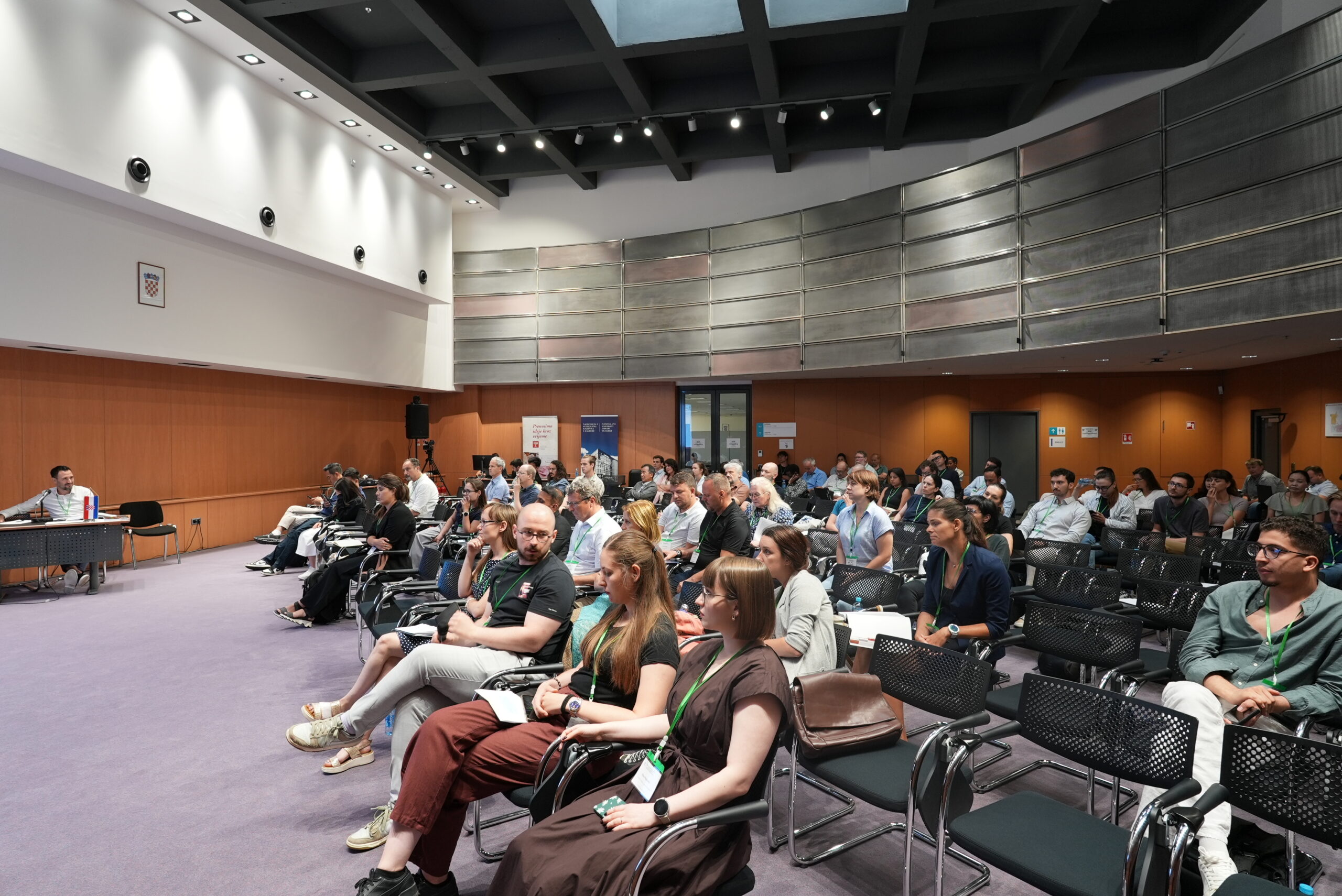
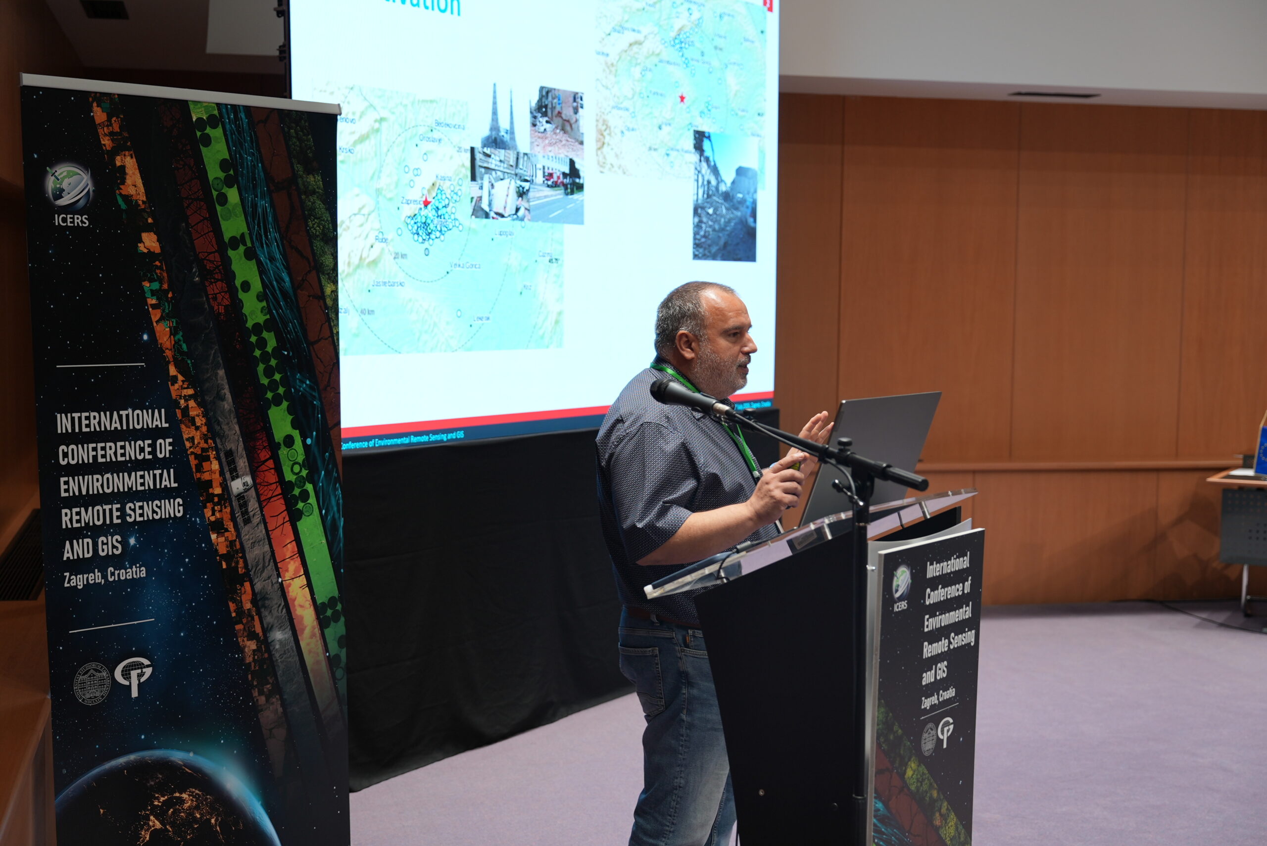
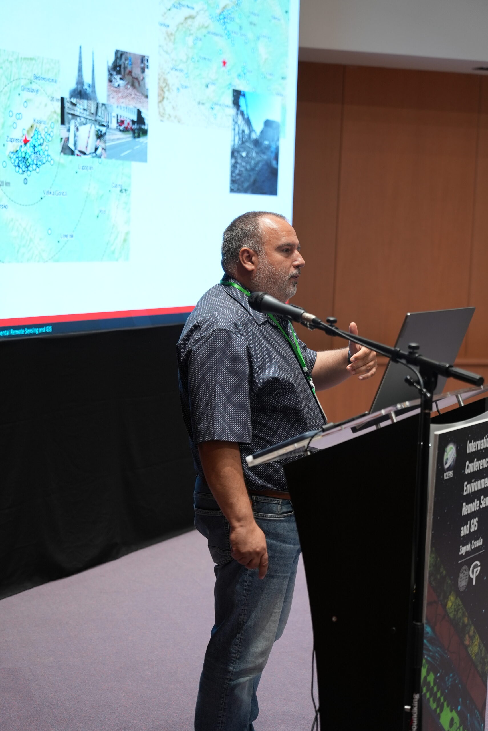
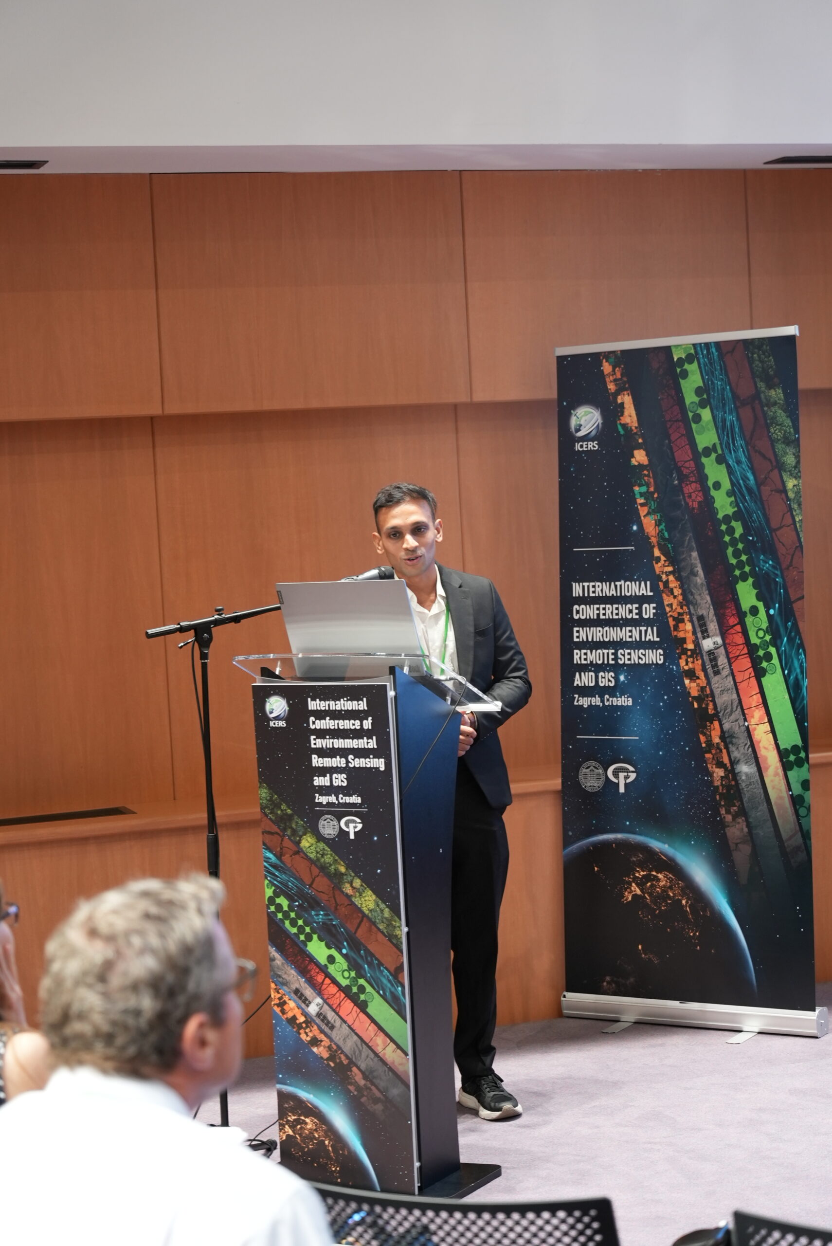
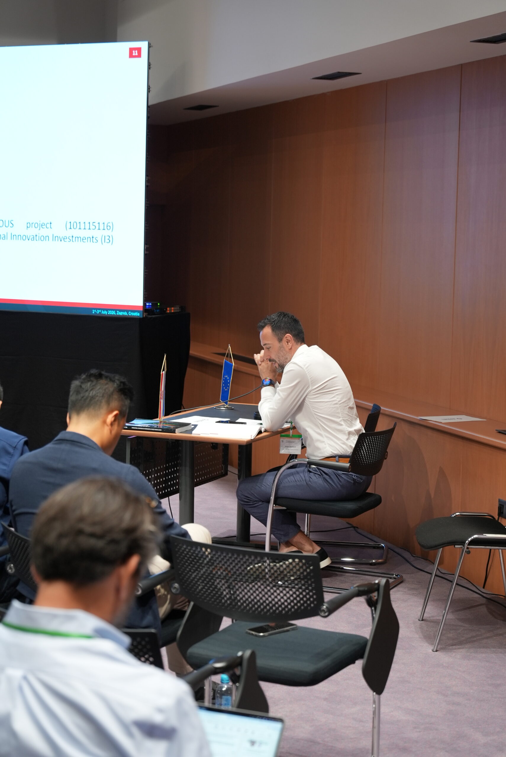
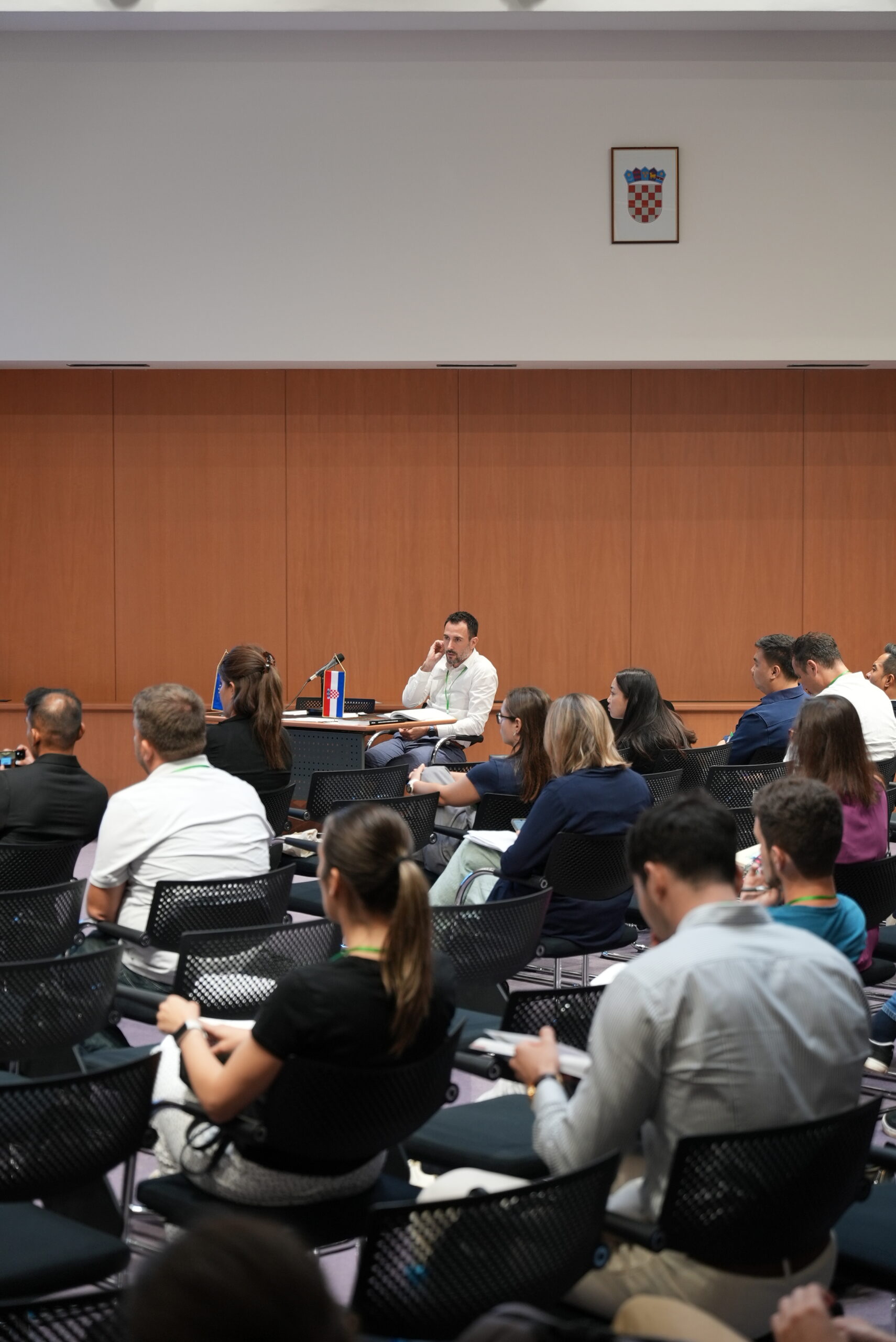
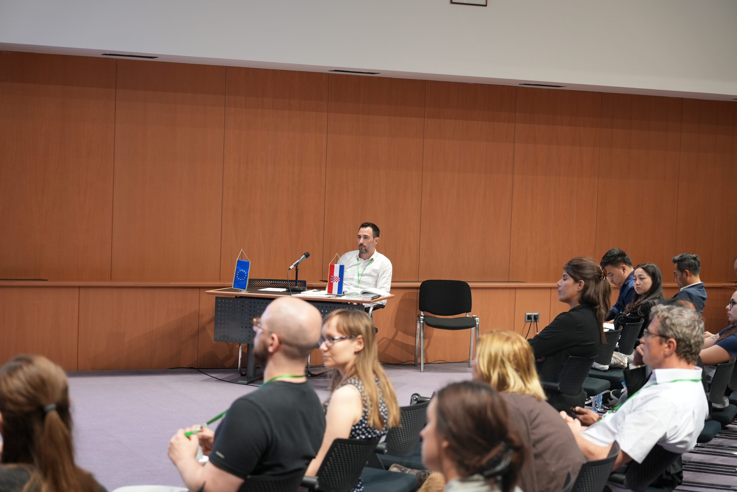
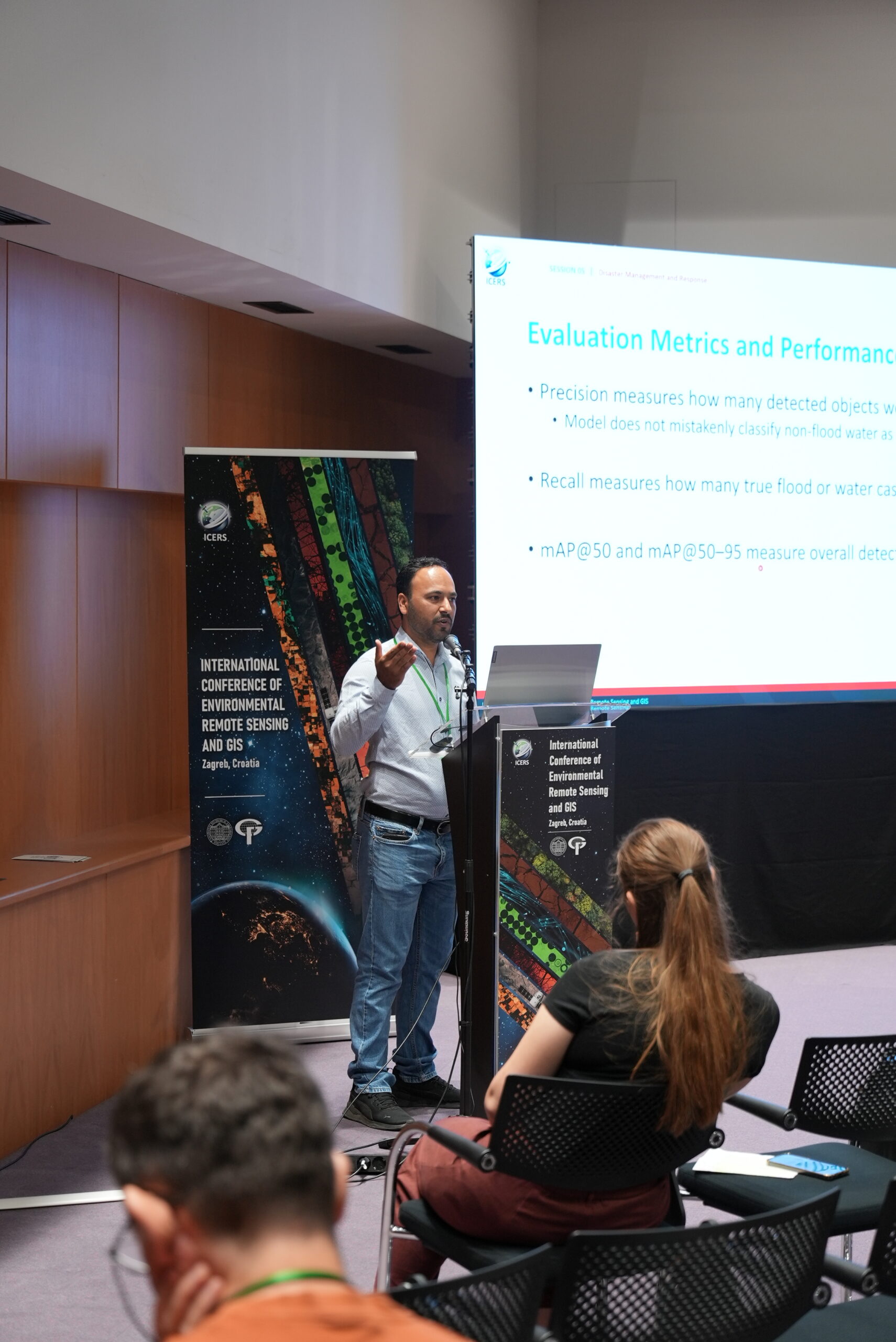
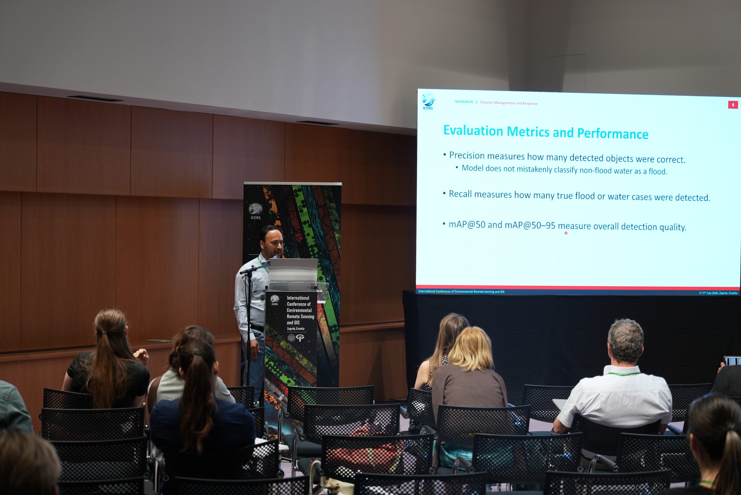
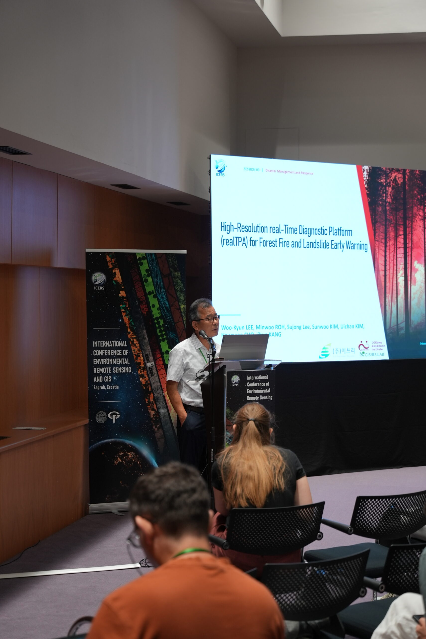
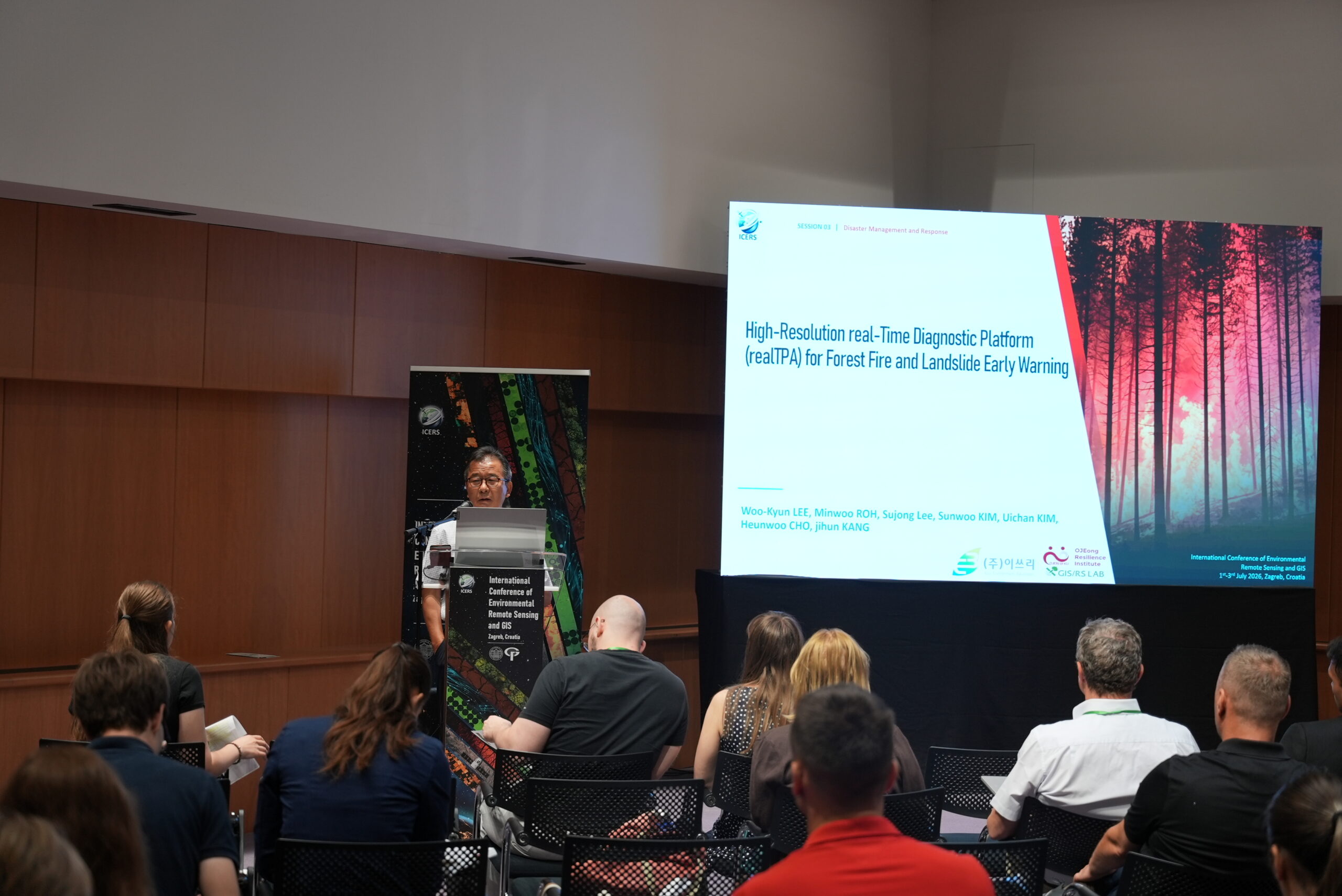
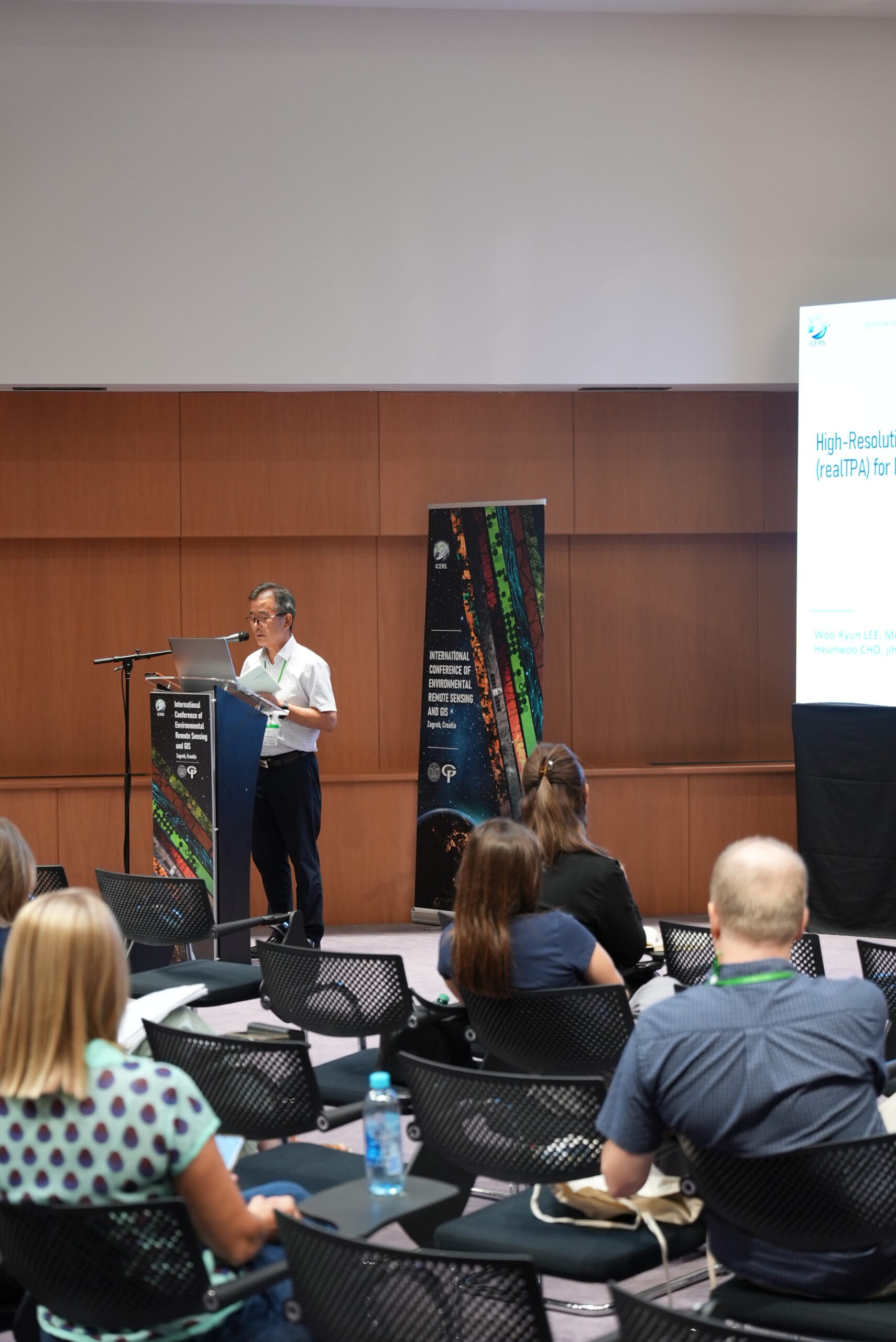
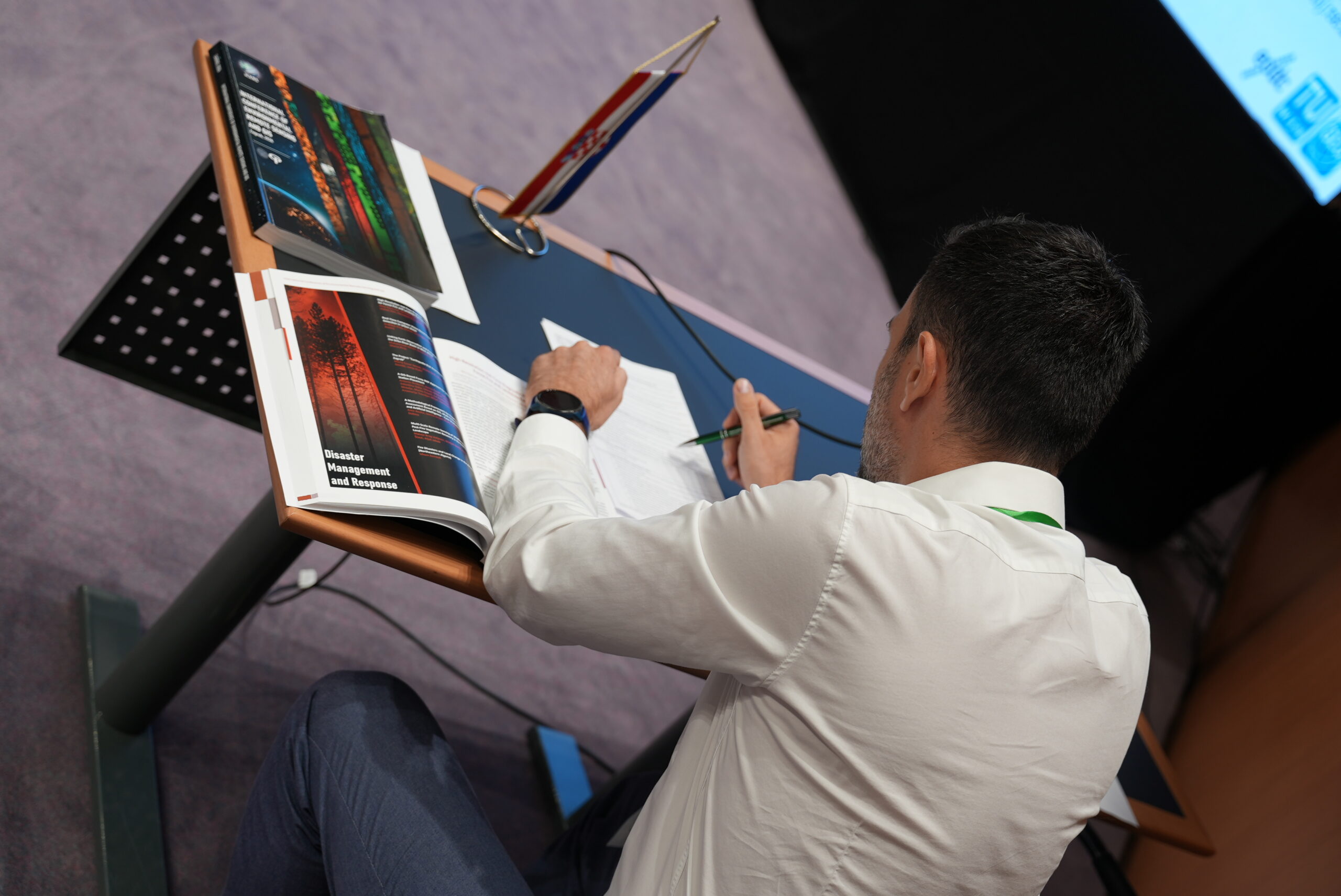
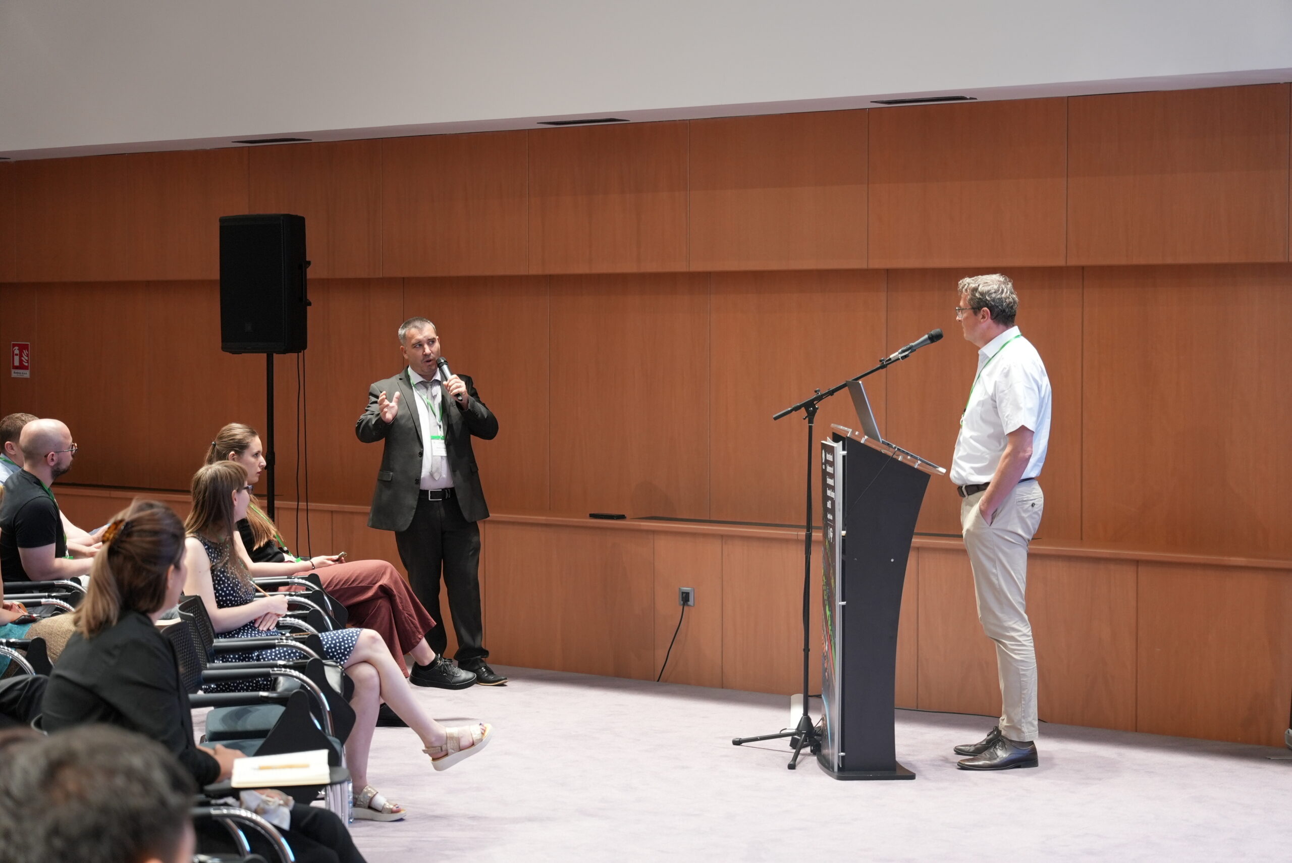
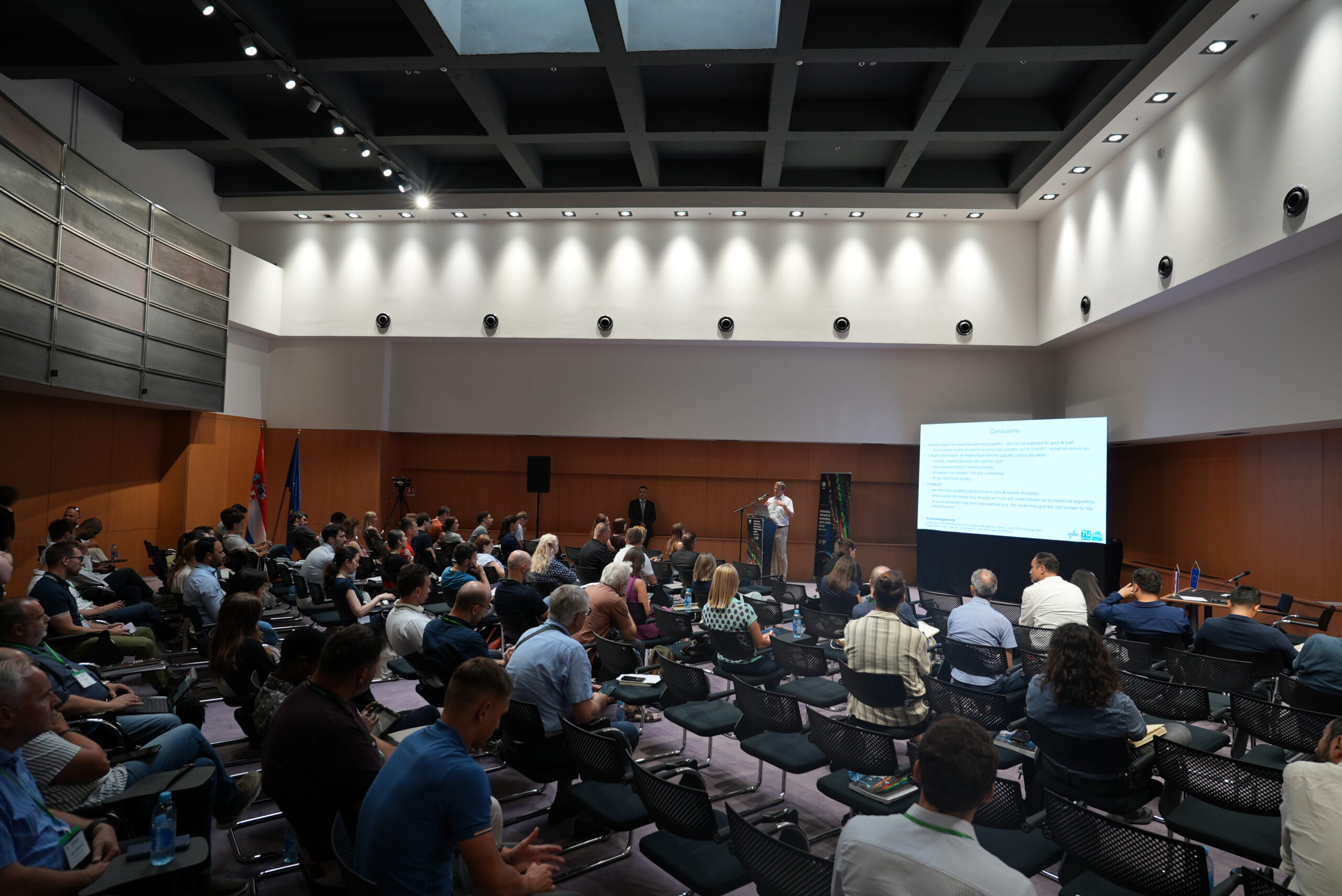
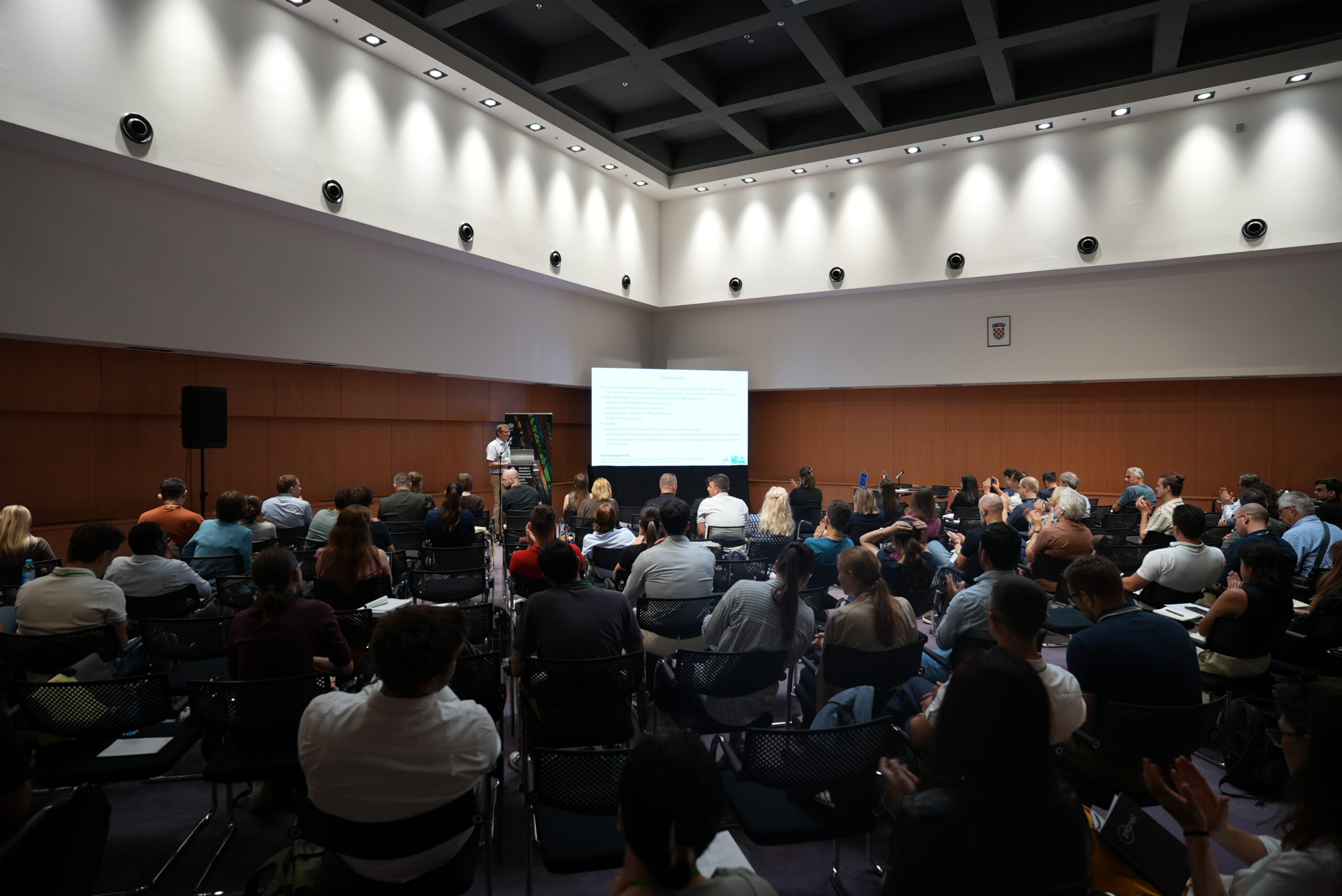
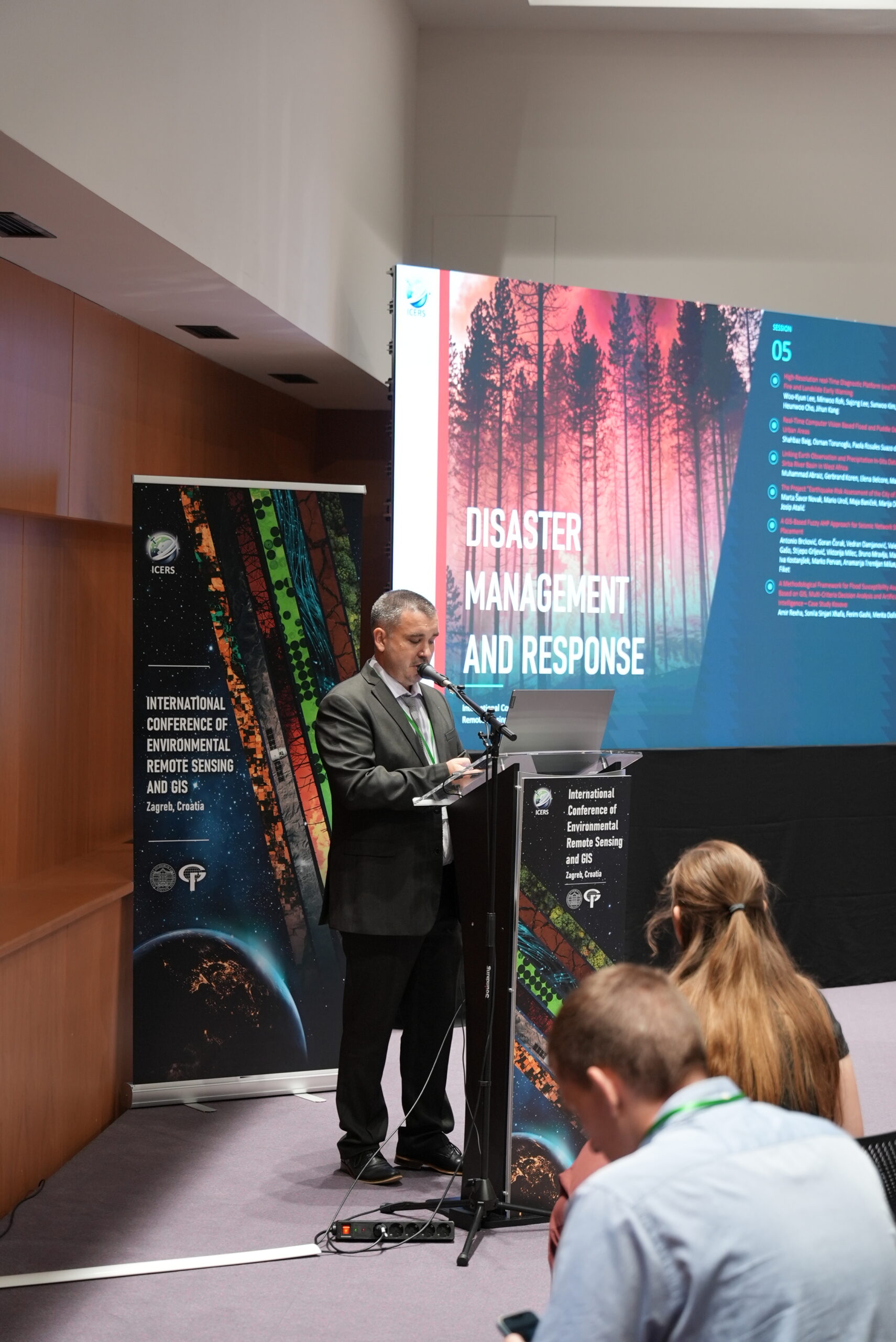
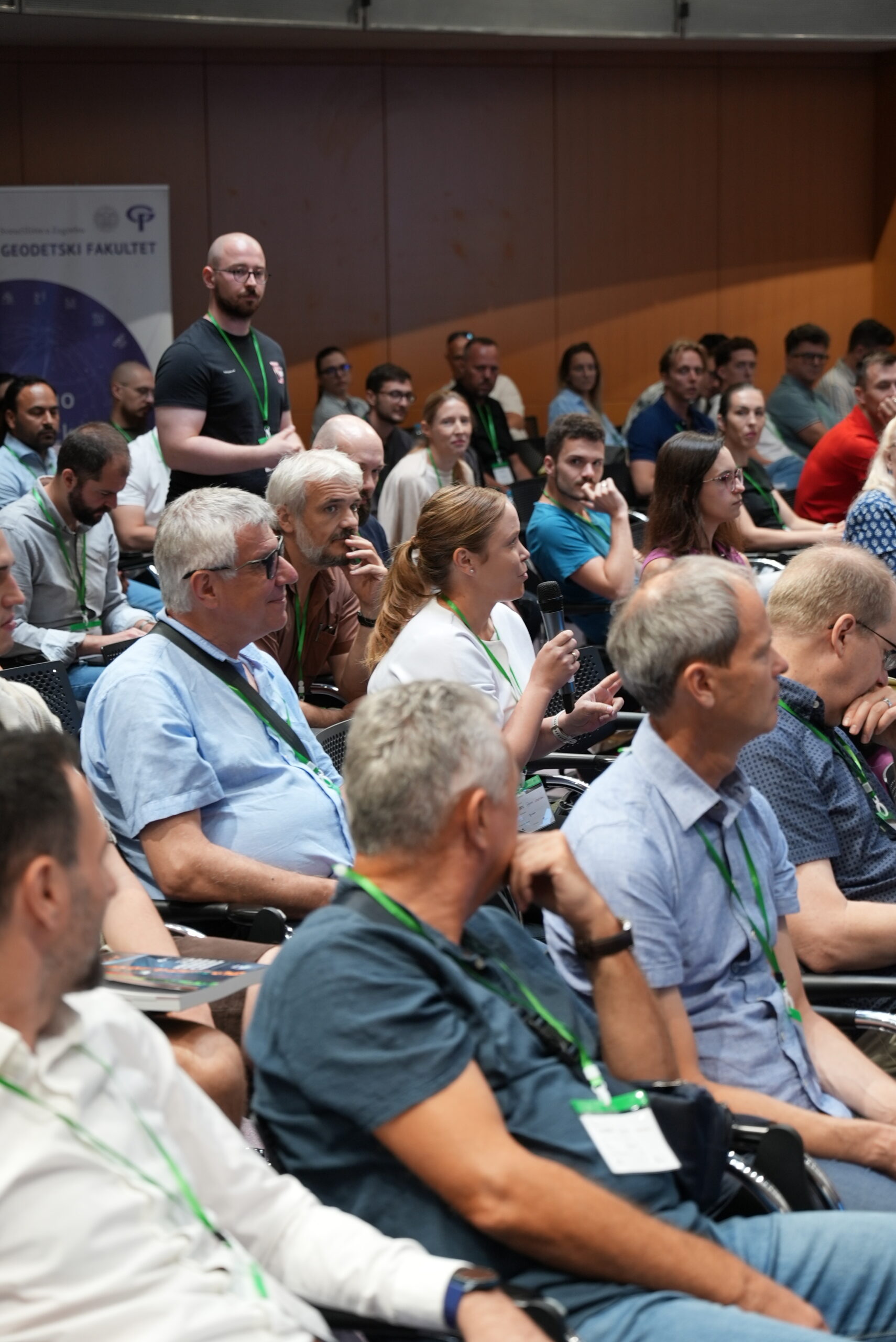
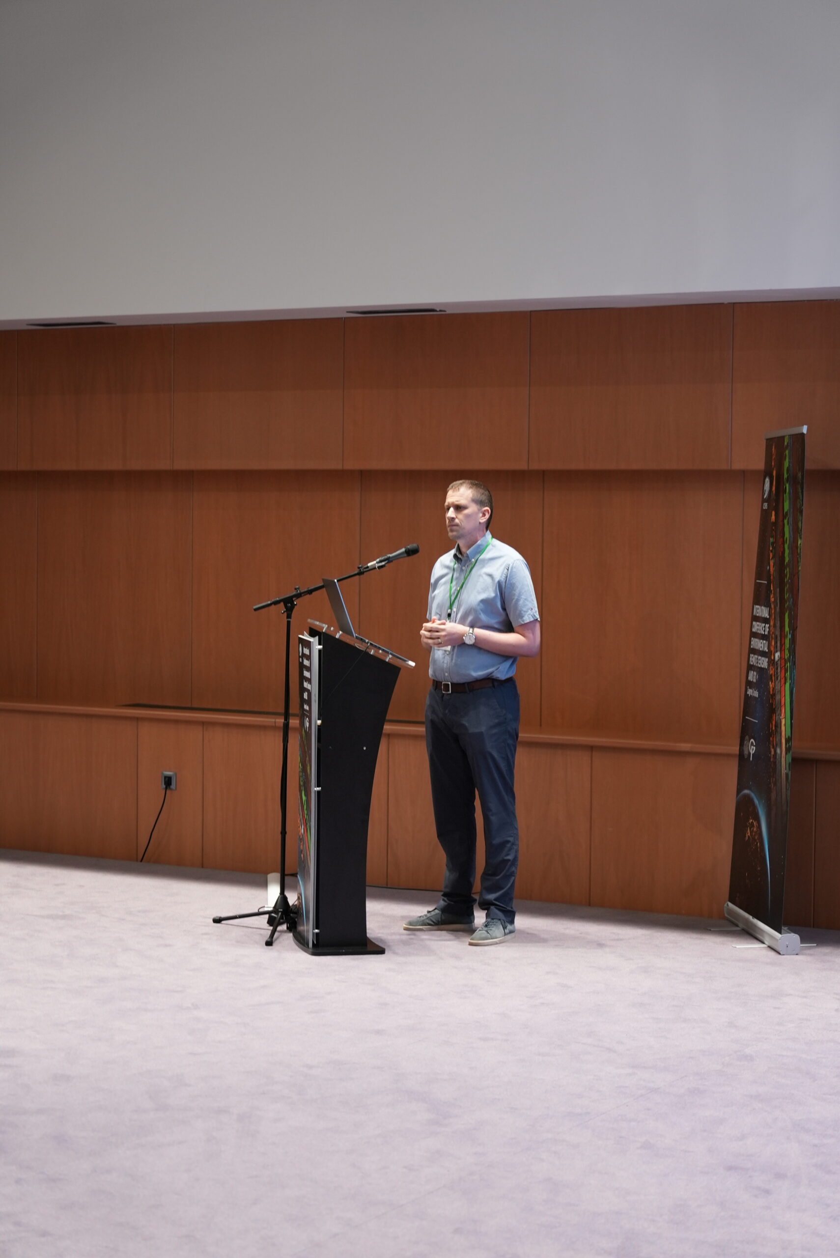
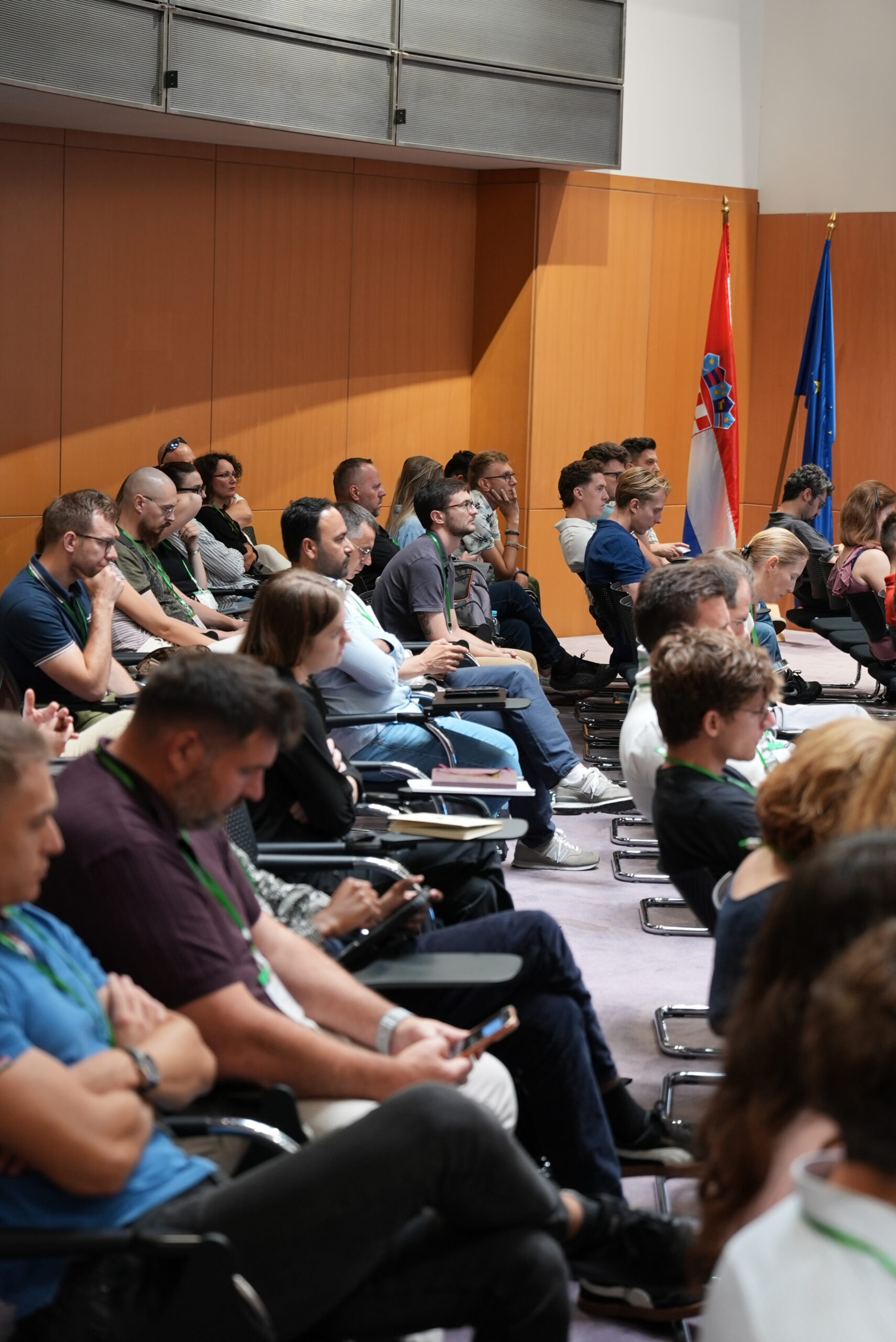
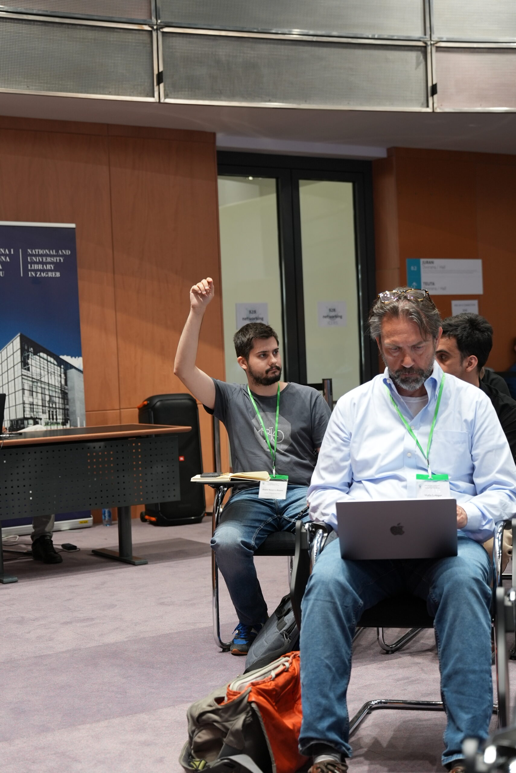
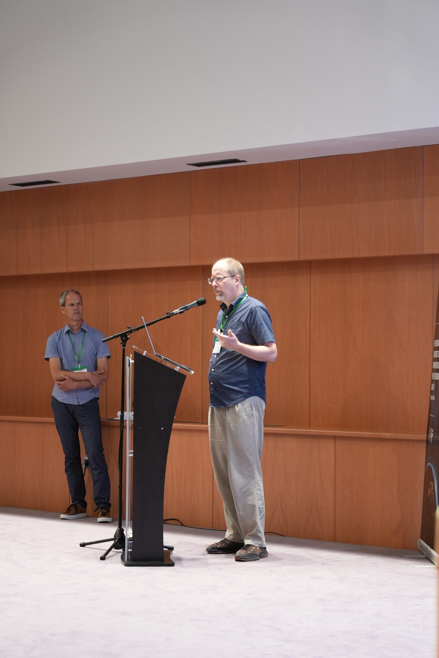
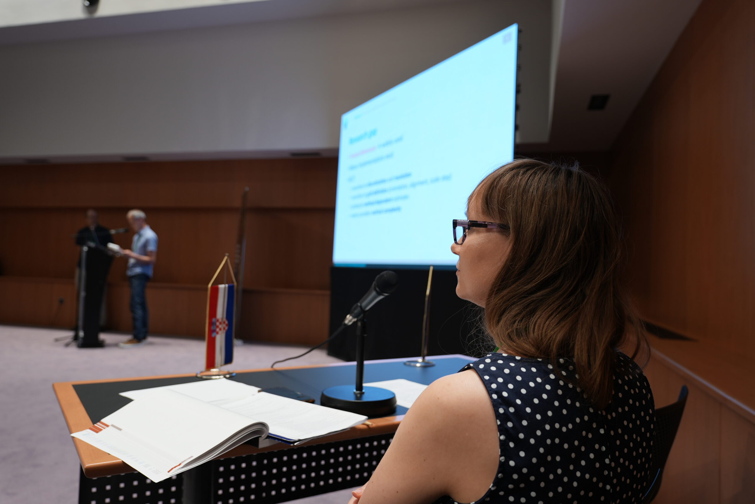
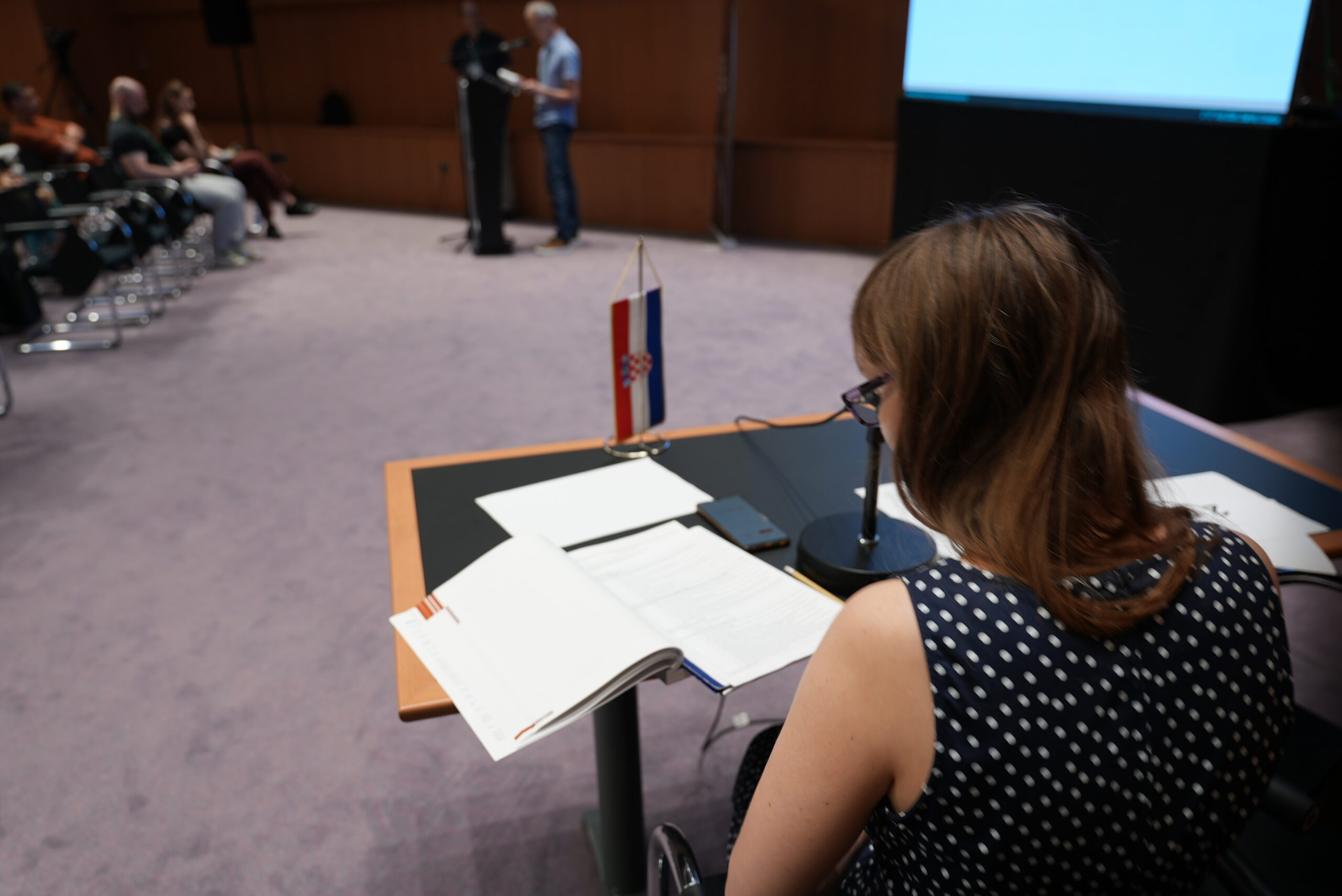
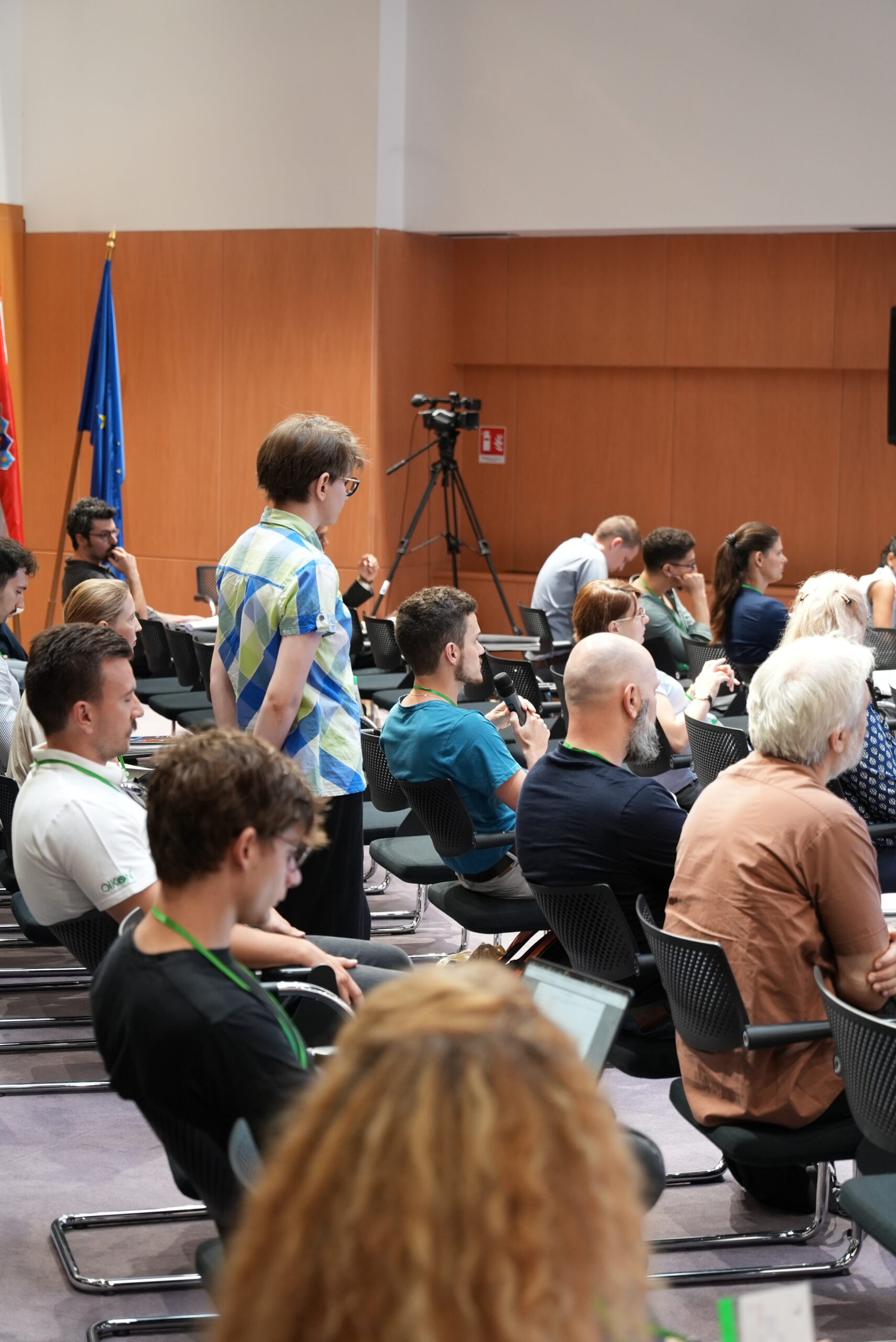
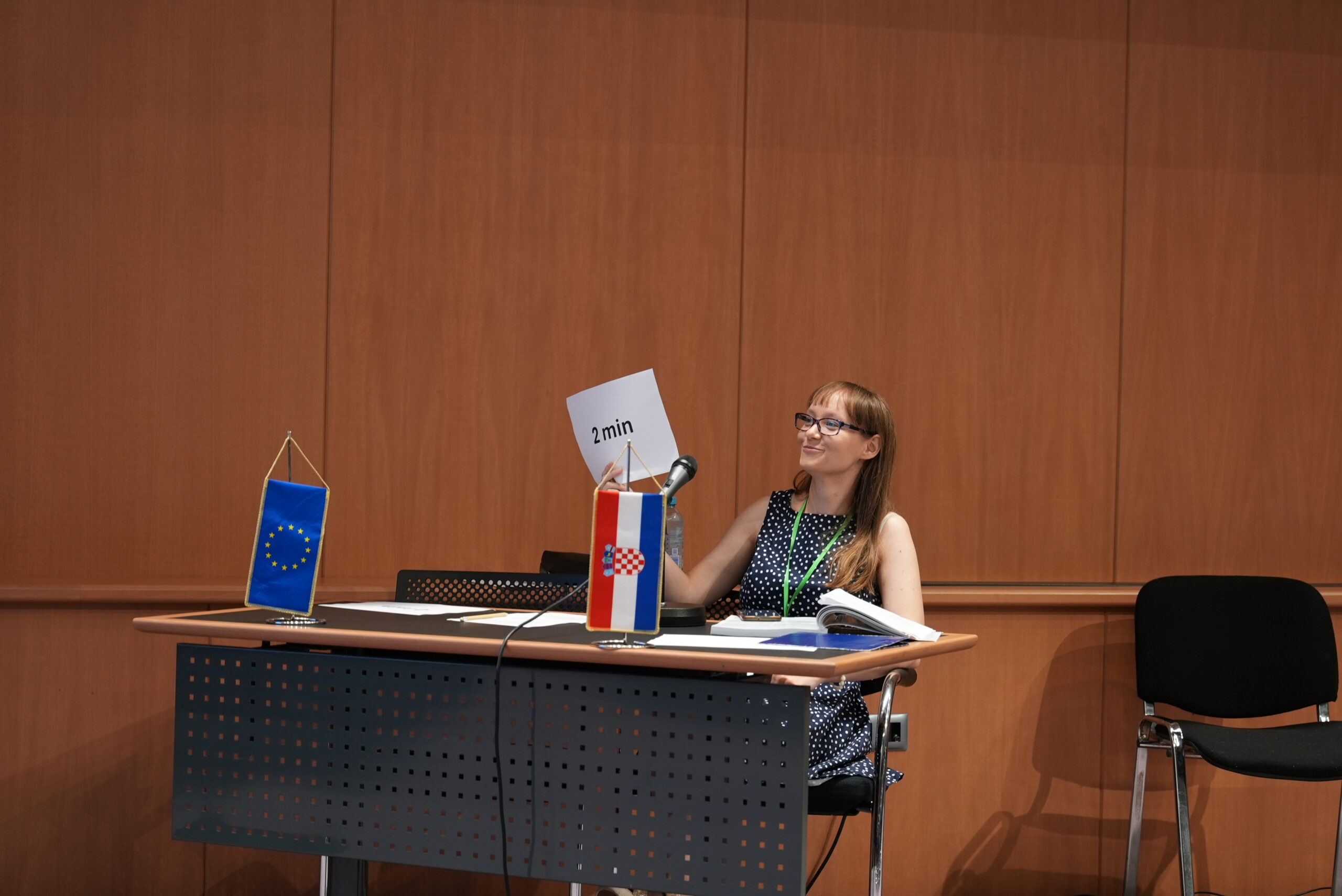
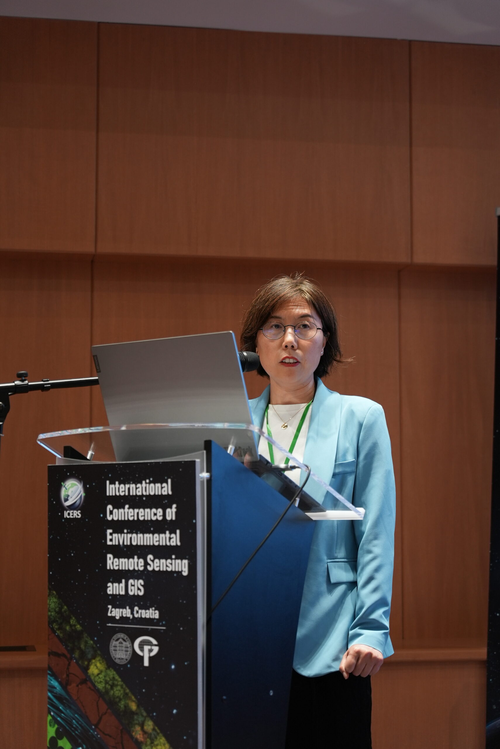
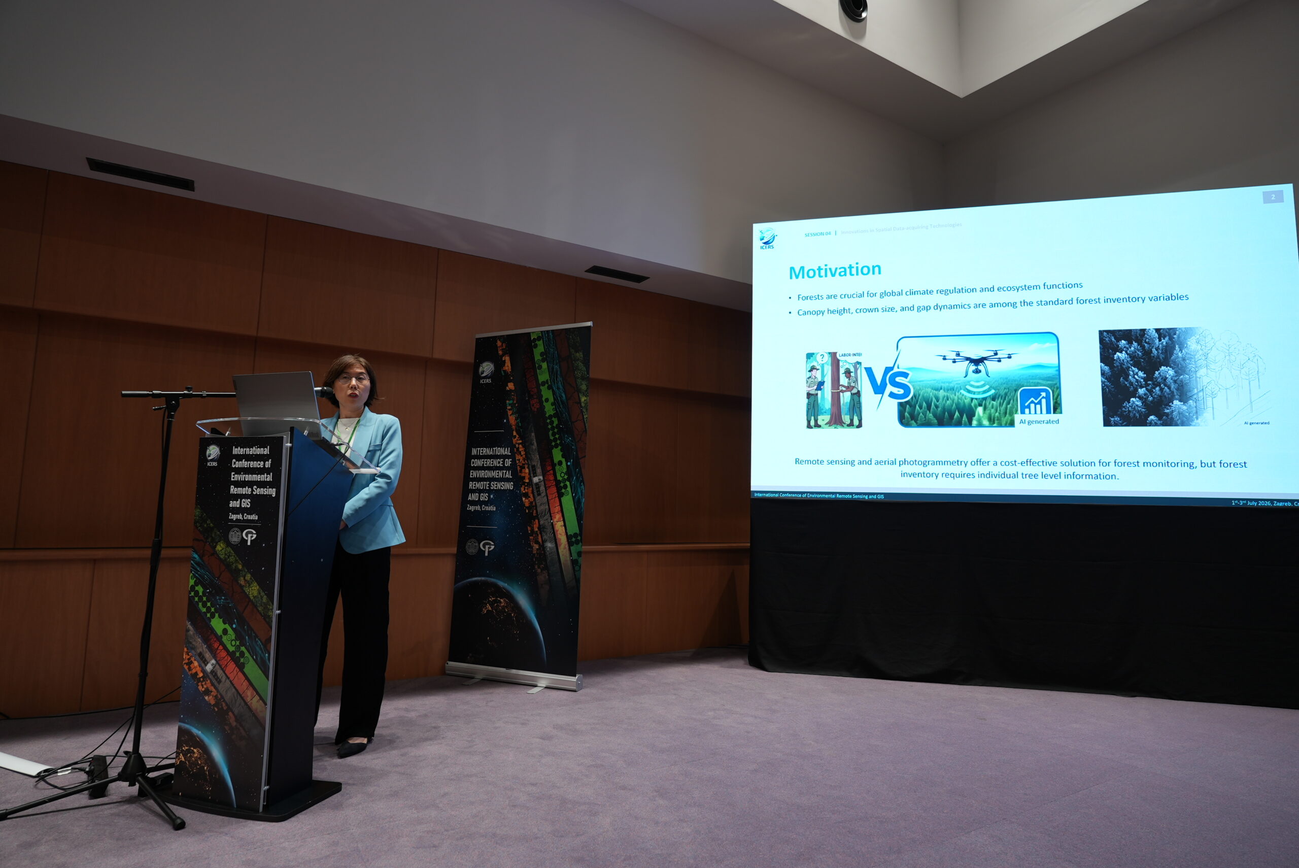
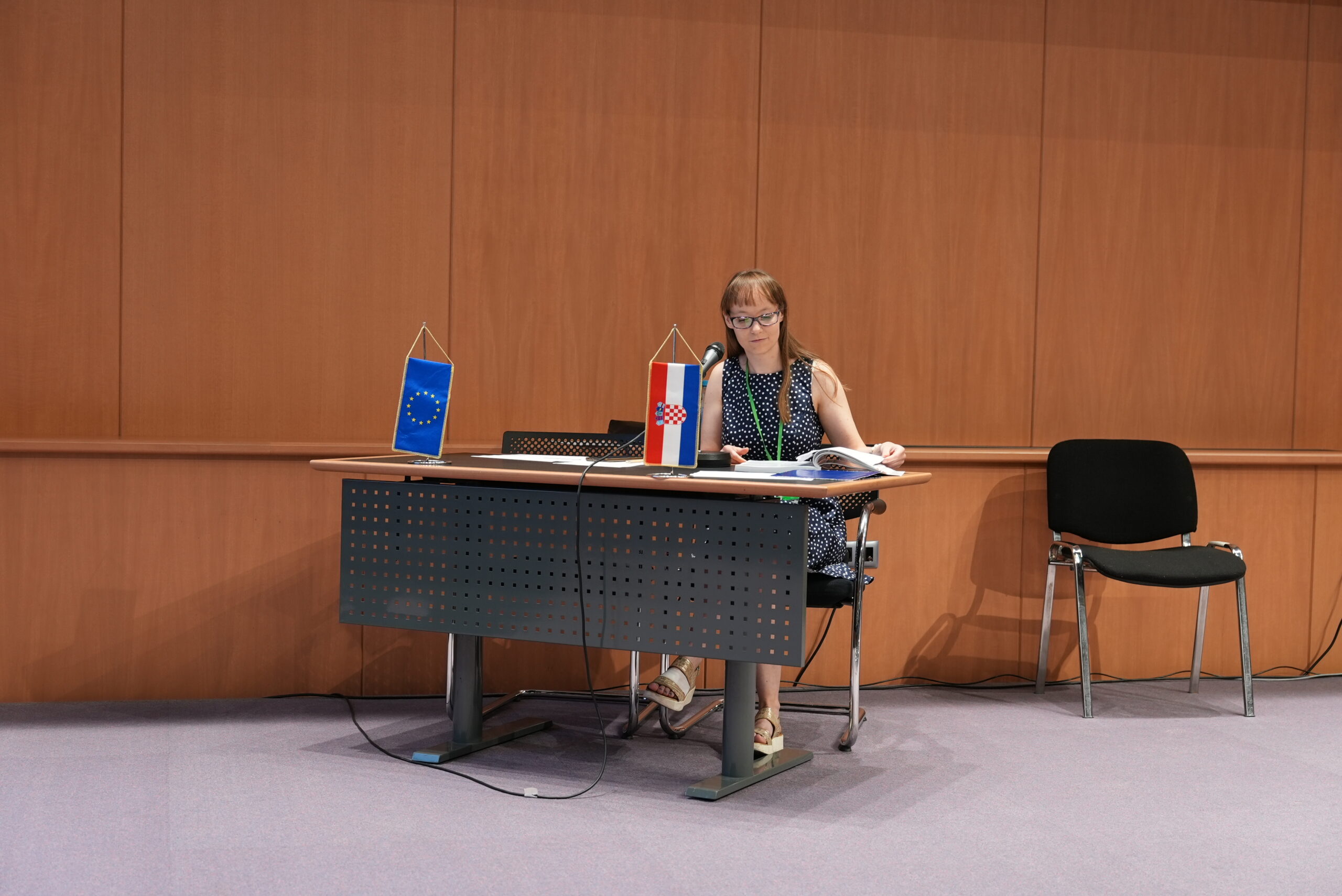
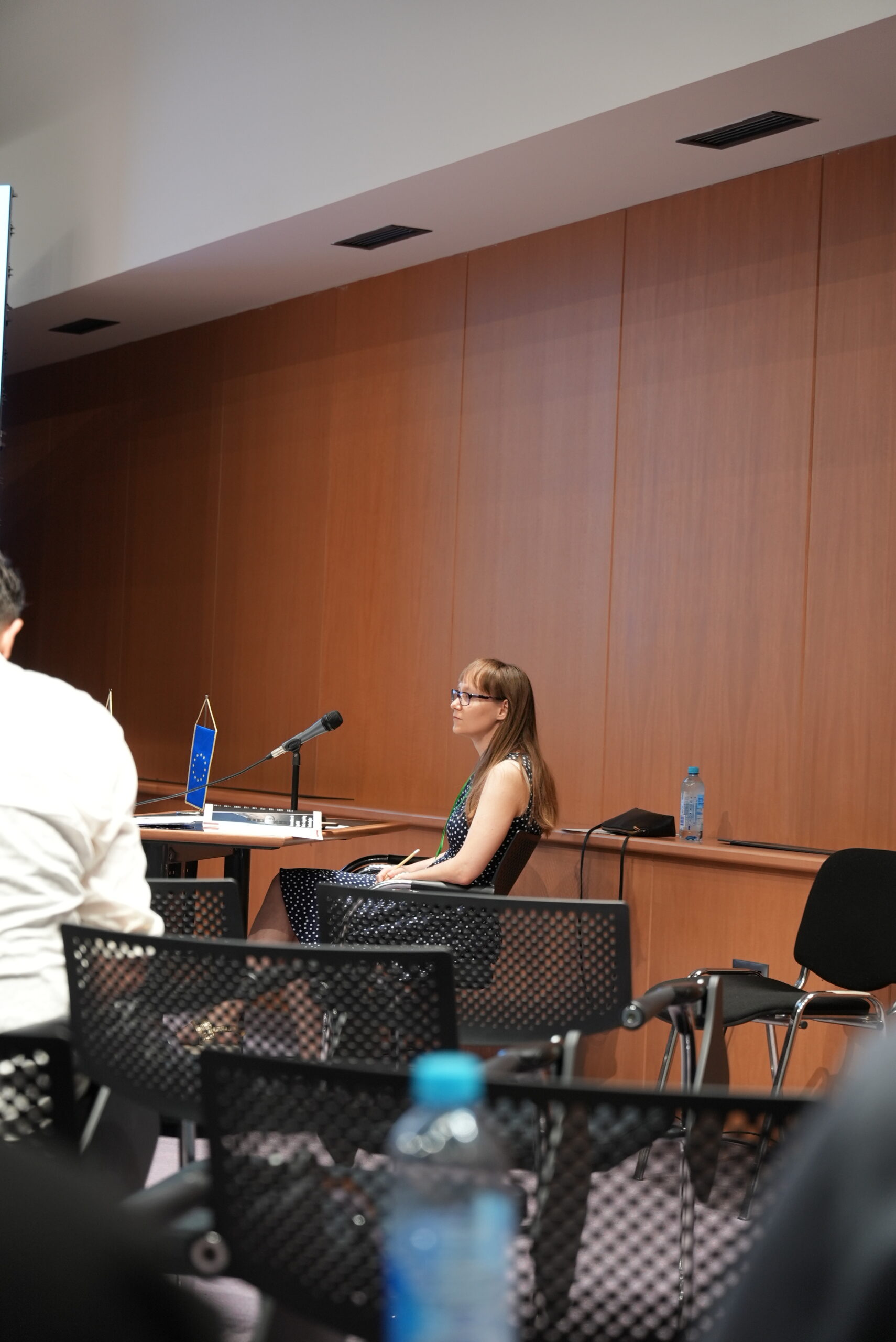
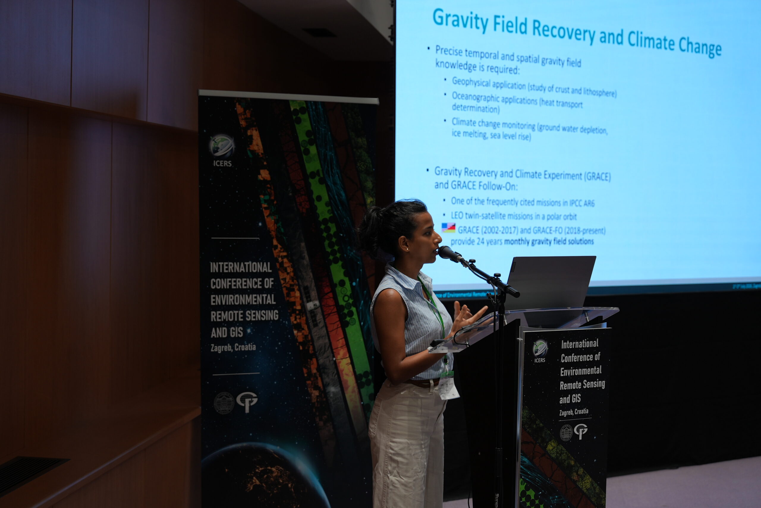
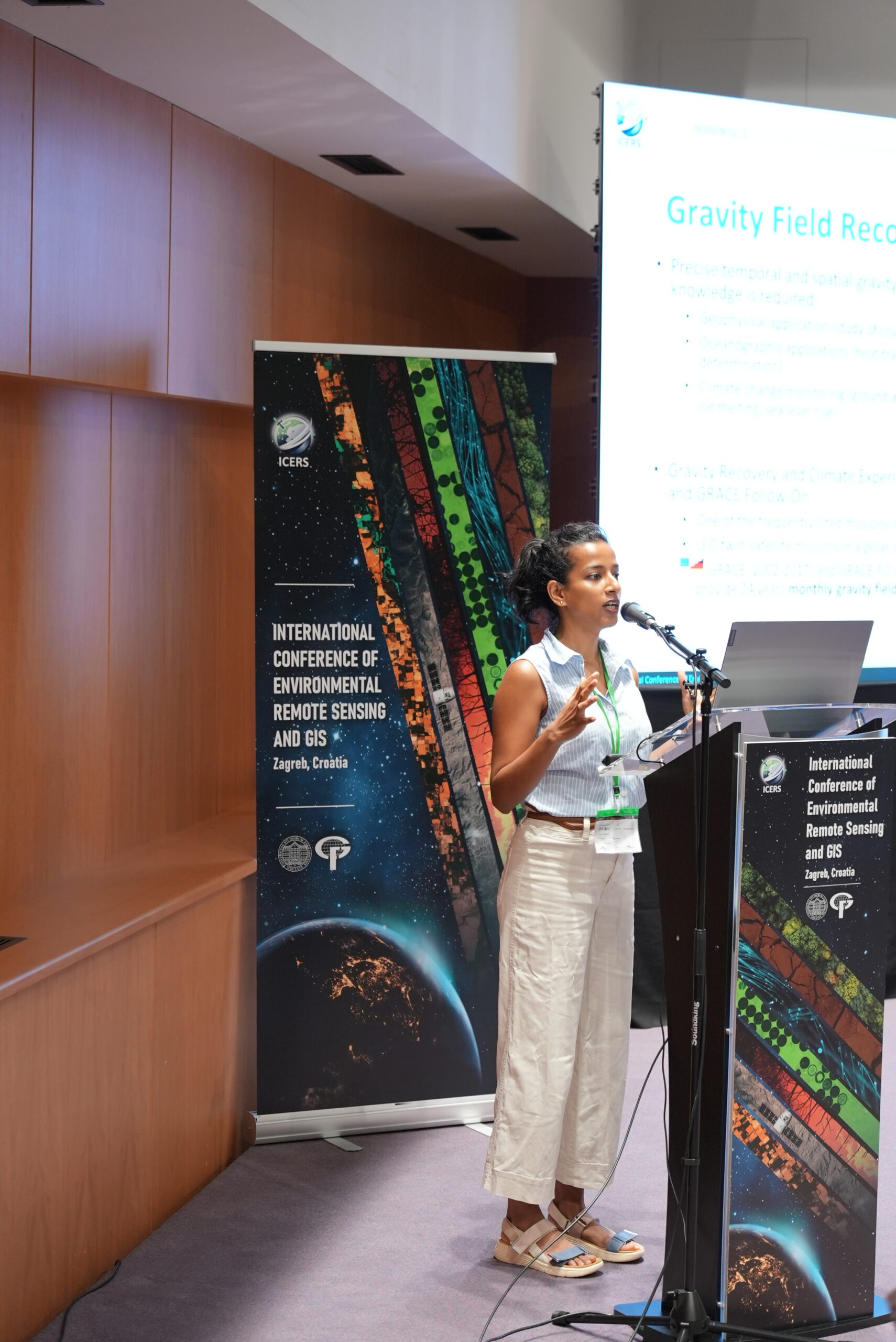
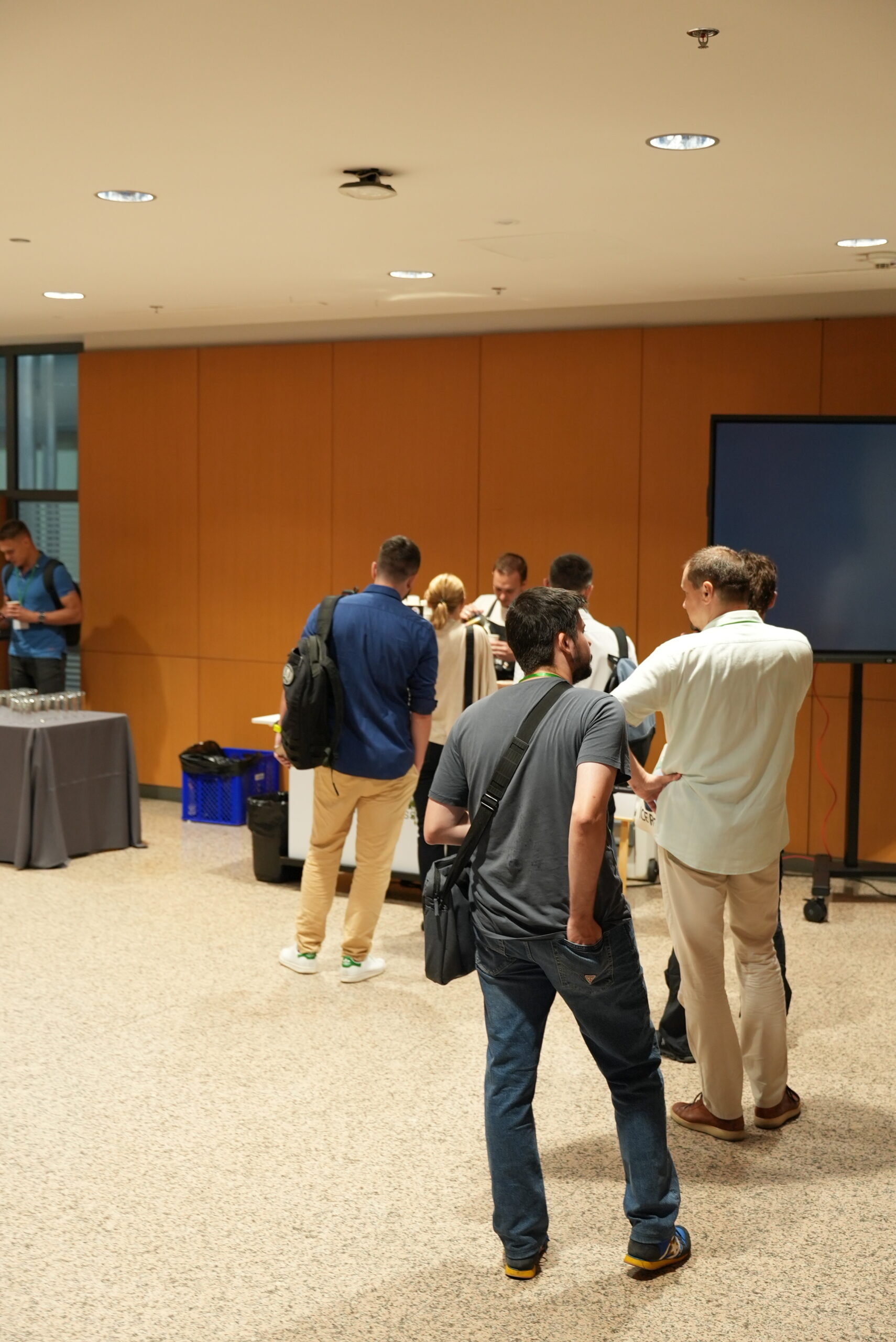
All conference photos are free to download, share, and publish. You may use them for personal or professional purposes without requesting permission or providing attribution.
By using the photos, you acknowledge that they are provided “as is,” without warranties, and the organizers are not responsible for any subsequent use.
Day 1


Day 2


Day 3