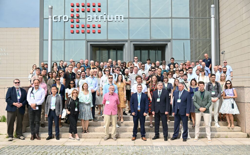
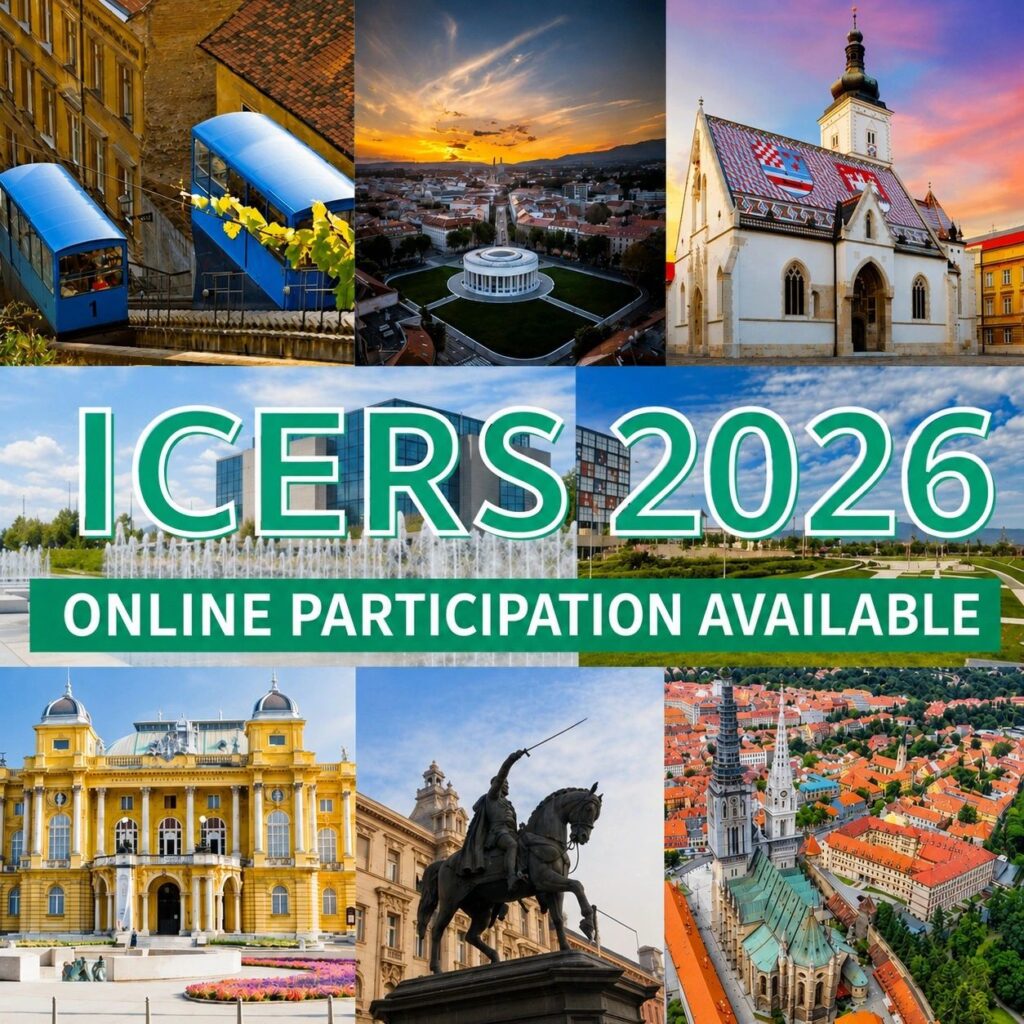
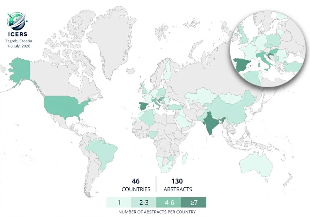
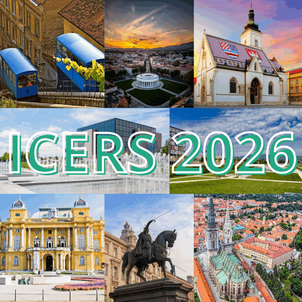
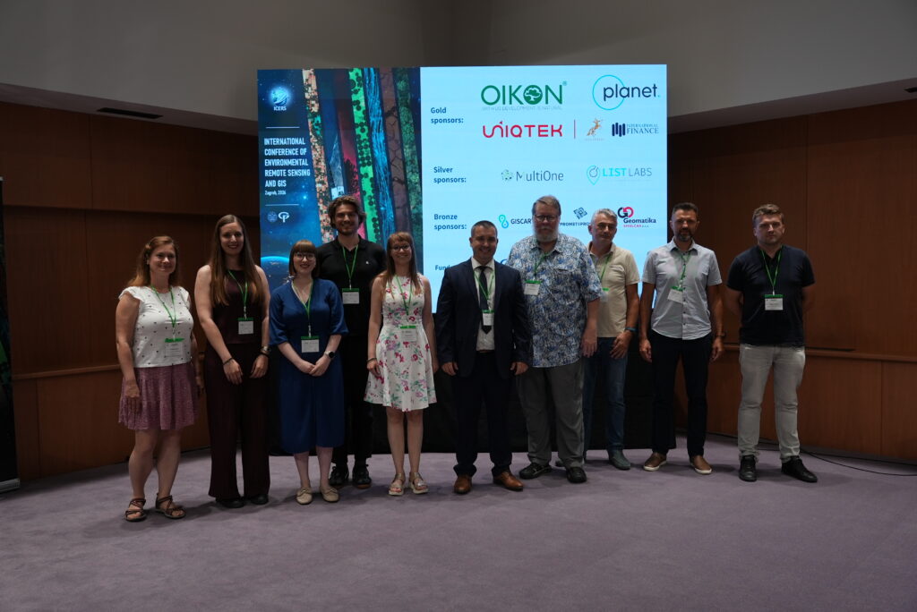
2nd ALCAR Workshop: Advancing Earth Observation Science in Croatia

Date: July 7–8, 2025Venue: University of Zagreb Faculty of Geodesy, Kačićeva 26, Zagreb, CroatiaHosted by: Faculty of Geodesy, University of ZagrebProject Title: Assessment of the Long-term Climatic and Anthropogenic Effects on the Spatio-temporal Vegetated Land Surface Dynamics in Croatia using Earth Observation DataAcronym: ALCARFunded by: Croatian Science Foundation (HRZZ)Project Code: IP-2022-10-5711 The 2nd ALCAR Workshop …

2nd ALCAR Workshop: Advancing Earth Observation Science in Croatia Read More »

Published paper by ALCAR researchers

Our researchers Mateo Gašparović, Ivan Pilaš, Dorijan Radočaj and Dino Dobrinić published paper in Applied Science journal from MDPI: Monitoring and Prediction of Land Surface Phenology Using Satellite Earth Observations—A Brief Review Abstract: Monitoring and predicting land surface phenology (LSP) are essential for understandingecosystem dynamics, climate change impacts, and forest and agricultural productivity. Satellite Earthobservation …

Published paper by ALCAR researchers Read More »

Wishing you a Merry Christmas filled with happiness and a New Year brimming with success and inspiration.

To all the people and institutions in the world of science. As the year comes to an end, we want to thank you for your expressed interest for this project.Wishing you a Merry Christmas filled with happiness and a New Year brimming with success and inspiration. Here’s to a 2025 full of exciting opportunities and …

Wishing you a Merry Christmas filled with happiness and a New Year brimming with success and inspiration. Read More »

First International Conference of Environmental Remote Sensing and GIS (ICERS)

The first International Conference of Environmental Remote Sensing and GIS – ICERS dedicated to remote sensing and GIS was held on July 11 and 12, 2024 in the National and University Library in Zagreb, organized by the Faculty of Geodesy, University of Zagreb. The conference was organized as part of the project “Assessment of the …

First International Conference of Environmental Remote Sensing and GIS (ICERS) Read More »

ICERS conference day 2 and closing ceremony

As Day 2 unfolded, the excitement and momentum from Day 1 continued, enriching the overall experience for all participants. The closing ceremony marked the end of a successful conference, celebrating the exchange of knowledge and the forging of global partnerships.

Scroll to Top