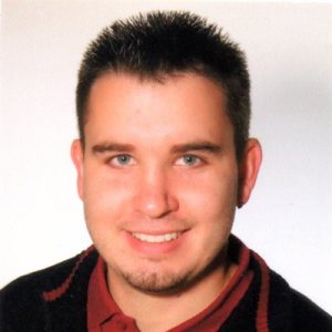
Assoc. Prof. Mateo Gašparović
Principal Investigator
University of Zagreb Faculty of Geodesy

Tel.: +38514639223
Mateo Gašparović, Ph.D. is Associate Professor on Chair Photogrammetry and Remote Sensing at the Faculty of Geodesy. He is currently the Vice Dean for Education and Students at the Faculty of Geodesy. He was born in Rijeka, Republic of Croatia. He graduated from the Faculty of Geodesy University of Zagreb in 2009. He obtained the academic title of Doctor of Technical Sciences in 2015 at the Faculty of Geodesy, University of Zagreb with the doctoral thesis entitled Radiometric equalization of textures on the photorealistic 3D models. His field of expertise is remote sensing algorithm development, remote sensing application in forestry, GIS and spatial data analysis etc. He has participated in more than 10 scientific projects of the Faculty of Geodesy and he is a leader of the scientific project "Advanced methods of photogrammetry and remote sensing for monitoring changes in the environment (RS4ENVIRO)" funded by the University of Zagreb. As an author and co-author, he has published more than 30 scientific papers published high-quality scientific journals indexed in the Web of Science Core Collection (WoSCC), of which 15 in Q1 journals. He is reviewer of over 150 papers in 25 scientific journals, of which over 100 in Q1 journals.
prof. Mladen Zrinjski
Dean
University of Zagreb Faculty of Geodesy

Mladen Zrinjski, Ph.D. is Full Professor at the University of Zagreb Faculty of Geodesy. He is Dean of the Faculty of Geodesy and Head of Chair of Instrumental Technique at the Faculty of Geodesy. He was born in Varaždin, Republic of Croatia. He graduated from the Faculty of Geodesy, University of Zagreb in 2001. He obtained the academic title of Doctor of Technical Sciences in 2010 at the Faculty of Geodesy, University of Zagreb with the doctoral thesis entitled ''Defining the Calibration Baseline Scale of the Faculty of Geodesy by Applying Precise Electro-Optical Distance Meter and GPS''. His field of expertise is Field measurements, Global Navigation Satellite Systems (GNSS), Precise geodetic measurements, Metrology, Geodetic instruments etc. He has participated in 16 scientific projects of the Faculty of Geodesy and he is a leader of the scientific project "Automatization of Measurement Procedure in the Laboratory for Measurements and Measuring Technique of the Faculty of Geodesy" funded by the University of Zagreb. As an author and co-author, he has published 22 scientific papers published high-quality scientific journals indexed in the Web of Science Core Collection (WoSCC), of which 3 in Q1 journals. He is a reviewer of over 60 papers in 15 scientific journals, of which over 40 in Q1 journals.

Prof. Robert Župan
Professor
University of Zagreb Faculty of Geodesy

Robert Župan je profesor na Katedri za kartografiju na Geodetskom fakultetu. Trenutno je prodekan za financije i poslovanje Geodetskog fakulteta. Rođen je u Zagrebu, Republika Hrvatska. Diplomirao je na Geodetskom fakultetu Sveučilišta u Zagrebu 1998. godine. Akademski naziv doktora tehničkih znanosti stekao je 2008. godine na Geodetskom fakultetu Sveučilišta u Zagrebu obranom doktorskog rada pod naslovom Mogućnosti geovizualizacije PDA uređajem u turističkoj kartografiji. Uže područje ekspertize mu je kartografija, geovizualizacija, GIS i analitička kartografija itd. Sudjelovao je u više od 10 znanstvenih projekata Geodetskog fakulteta te je voditelj projekta "Kartografski procesi u kartografiji, fotogrametriji i daljinskim istraživanjima" financiranog od strane Sveučilište u Zagrebu. Kao autor i koautor objavio je više od 70 znanstvenih radova objavljenih u vrhunskim znanstvenim časopisima, od toga 43 indeksirana u Web of Science Core Collection (WoSCC), od čega 6 u Q1 časopisima. Recenzent je više od 110 radova u 30-ak znanstvenih časopisa, od toga preko 40 u časopisima Q1.
Dino Dobrinić Ph.D
Assistant
University of Zagreb Faculty of Geodesy

Dino Dobrinić, Ph.D. is postdoctoral researcher on Chair of Geoinformatics at the University of Zagreb Faculty of Geodesy. He was born in Rijeka, Republic of Croatia. He graduated from the Faculty of Geodesy University of Zagreb in 2012. He obtained the academic title of Doctor of Technical Sciences in 2021 at the Faculty of Geodesy, University of Zagreb with the doctoral thesis entitled Development of a Novel Methodology for Vegetation Mapping using Radar Satellite Imagery. His field of expertise is geostatistical analysis, satellite image processing, Synthetic Aperture Radar (SAR) and advanced machine learning. He has participated as a member of the research group in scientific project entitled „Geospatial Monitoring of Green Infrastructure by Means of Terrestrial, Airborne and Satellite Imagery (GEMINI)“ funded by Croatian Science Foundation. As an author and co-author, he has published 5 scientific papers published high-quality scientific journals indexed in the Web of Science Core Collection (WoSCC), of which 3 in Q1 journals. He is reviewer of over 80 papers in 20 scientific journals, of which over 50 in Q1 journals.

Filip Radić mag.ing.
Research Assistant
Faculty of Geodesy, University of Zagreb

Filip Radić is research assistant on Chair of Photogrammetry and Remote sensing at University of Zagreb, Faculty of Geodesy. He is born in Zagreb, Croatia, where he attended a high school of Geodesy, then the Faculty of Geodesy, where he graduated in 2024. His master thesis was on subject of “Developing algorithm for industrial photogrammetry”. In 2024. He published paper as co-author “Algorithm for Fatigue Crack Initiation Assessment Based on Industrial Photogrammetry” in MDPI Applied Sciences journal. His current work is based on developing algorithm based on EO data and open-source programming.

Ivan Pilaš Ph.D
Scientific Advisor
Croatian Forest Research Institute

Ivan Pilaš, Ph.D. is a scientific advisor in the Division for Forest Ecology at Croatian Forest Research Institute with a doctoral degree in silviculture, modelling the sustainable groundwater regime for the lowland Pedunculate oak and Field ash forests. He has expertise in soil science and soil-water relations, soil genesis and classification, and the impact of climatic anomalies on forest hydrology, forest productivity and optional adaptation measures. He also has expertise in statistical modelling and GIS (R), machine learning (R Caret package), familiarity with ML Python framework (Scikit learn) and remote sensing ML applications. He actively participated in the H2020 "Operational sustainable forestry with satellite-based remote sensing" – MySuistanableForest project as a WP (Innovation and roadmap) leader and also participated in other EU projects (technical coordinator of Interreg Croatia-Hungary "Protection of common oak in cross border area – Oak protection). He is a member of the South Central and Eastern European Regional Information Network (SCERIN) - the regional network of GOFC-GOLD (Global Observation of Forest and Land-use Dynamics). NASA Land Cover – Land Use Change Program, FAO, Global Forest Watch, EU Copernicus, START.

Full. Prof. Mladen Jurišić
Full professor tenure
Josip Juraj Strossmayer University of Osijek, Faculty of Agrobiotechnical Sciences in Osijek
Mladen Jurišić, Ph.D. was born on October 26, 1961 in Cerna. He is employed at the Faculty of Agrobiotechnical Sciences Osijek as a full professor at the Chair of Geoinformation Technologies and GIS. He is the president and founder of the same chair and the head of the research team "AgroGIT - technical and technological systems of plant production, GIS and environmental protection" at the Faculty of Agrobiotechnical Sciences Osijek. He graduated from the Faculty of Agriculture in Osijek in 1986, majoring in crop production. After graduation, in 1987, he was employed as an intern, technologist and later as the head of the arable farming department in the Agricultural Cooperative of Županja. He is the holder of seven courses at the Faculty of Agrobiotechnical Sciences Osijek, and the holder or associate of four postgraduate studies at various components of the Josip Juraj Strossmayer University in Osijek (Faculty of Agrobiotechnical Sciences Osijek, Faculty of Economics in Osijek, Faculty of Civil Engineering in Osijek, Department of Biology). He is a former member of the Committee for Agriculture in the Croatian Parliament and several advisory bodies of the Government of the Republic of Croatia. He has led seven scientific research projects for the Ministry of Science and Education and the Ministry of Agriculture, Forestry and Water Management of the Republic of Croatia, as well as several scientific and professional projects on digitization, application of unmanned aerial vehicles and regionalization of agricultural production in Croatia. The scientific VIP projects "Introduction and establishment of the IACS/LPIS system (ARKOD) in the Republic of Croatia for the purpose of establishing the Agency for Payments in Agriculture, Fisheries and Rural Development" and "Introduction and application of modern agricultural technology and computerization in family farms" are particularly worth mentioning. From 2019 to 2021, he led the project "Inventory of the protected natural monument Bilje steppe-like grassland for the purpose of preparing a management plan with recommendations for changing the zone of protection".

dr. sc. Dorijan Radočaj
Assistant
Josip Juraj Strossmayer University of Osijek, Faculty of Agrobiotechnical Sciences in Osijek

Dorijan Radočaj, Ph.D. was born in Osijek on March 2, 1994. He is employed at the Faculty of Agrobiotechnical Sciences in Osijek as an assistant at the Chair of Geoinformation Technologies and GIS. The field of his scientific and teaching work is geoinformation technologies in agriculture and environmental protection, with emphasis on processing of remote sensing images, machine learning, agricultural land suitability studies and digital soil mapping. In 2017, he graduated from the Faculty of Geodesy, University of Zagreb, with the academic title of Master of Geodesy and Geoinformatics, specializing in geoinformatics. In 2022, he completed the postgraduate interdisciplinary university study "Protection of Nature and Environment" at the Department of Biology of the Josip Juraj Strossmayer University and the Ruđer Bošković Institute with the academic title of PhD in the interdisciplinary field (agriculture, biology). The topic of his dissertation is "Agro-ecological and pedological modeling of land suitability for soybean cultivation by integrating satellite remote sensing data and machine learning". In 2022, he became a research associate in the field of biotechnical sciences. From 2019 to 2021, he participated in the project "Inventory of the protected natural monument Bilje steppe-like grassland for the purpose of creating a management plan with recommendations for changing the coverage zone" on field survey, computer processing of drone footage and prediction of benefits based on machine learning algorithms. He is a member of the Editorial Board as Review Editor for the journal Frontiers in Environmental Science for Big Data, AI, and the Environment and as Guest Editor for the special issues "Geospatial Data in Land Suitability Assessment" in the journal Land and "Geoinformation Technologies in Agriculture and Environment Protection for a Sustainable Future" in the journal Sustainability. He is a member of the International Society for Photogrammetry and Remote Sensing. He has received a total of six awards from the Faculty of Agrobiotechnical Sciences for his achievements in scientific work.
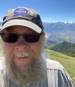
Full. Prof. Geoffrey M. Henebry
Full professor tenure
Michigan State University, Department of Geography, Environment, and Spatial Sciences & the Center for Global Change & Earth Observations, United States of America

Geoff Henebry is a tenured full Professor with split appointment between the Department of Geography, Environment, and Spatial Sciences and the Center for Global Change and Earth Observations at Michigan State University. His research interests are broad, but a recurrent theme is the use of remote sensing and geospatial technologies to study environmental patterns and processes, including quantitative analysis and modeling of land surface phenology and land cover land use change. He has studied land dynamics in North, Central, and South America, Eastern Europe, European Russia, and Central Asia, and in a variety of landscapes, including grasslands and croplands, drylands and wetlands, and cities and urbanizing areas. He has enjoyed multiple international collaborations and field campaigns. Through the years, Geoff has mentored: (i) doctoral students from Bangladesh, China, Colombia, Ethiopia, The Netherlands, The Philippines, Poland, Ukraine, and Vietnam, (ii) masters students from Czechia and the USA, and (iii) post-doctoral research associates from China, Ethiopia, Kyrgyzstan, The Netherlands, The Philippines, Poland, and the USA. He is currently a member of two NASA Science Teams: Land Cover Land Use Change (LCLUC) and Biological Diversity and Ecological Conservation (BDEC). Through the years, his research has received support through the years from NASA, NSF, NIH, DOE, USGS, NRC, and NATO as well as data grants from various international space agencies. Currently, Geoff is an Associate Editor of Remote Sensing of Environment (since 2018) and serves on four other editorial boards: Bioscience (2003-2018 and since 2023), International Journal of Biometeorology (since 2012), Landscape Ecology (since 2007), and Science of Remote Sensing (since 2019). Previously he served on the editorial boards of Conservation Ecology (1996-2003), Ecology/Ecological Monographs (2001-2007), Ecology & Society (2004-2008), Applied Vegetation Science (2008-2011), and Land (2020-2021). He is also active in the American Geophysical Union (AGU) and the North America Chapter of the International Association for Landscape Ecology (IALE-NA).
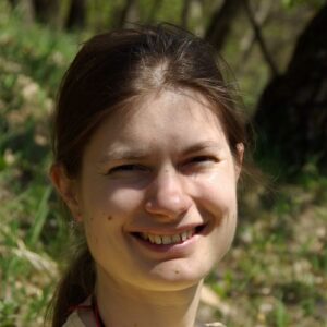
Imelda Somodi Ph.D
Senior scientific associate
Institute of Ecology and Botany, Centre for Ecological Research, Hungary

Imelda Somodi, Ph.D. is a senior scientific associate in the Large-scale Vegetation Ecology Research Group at the Institute of Ecology and Botany, Centre for Ecological Research in Hungary. Her main research interest lies in long-term vegetation dynamics, from within-community dynamics to the changes in the distribution of vegetation types at the extent of the country and beyond. The current focus of her research activities includes: theoretical foundation of the potential natural vegetation (PNV) concept; methodology of PNV modelling; as well as assessment of PNV both for present conditions and for various scenarios of land use and climate change. Her most recent projects were: Vulnerability of natural habitats against climate change (2015-2018), River deregulation impact modelling regarding potential natural vegetation (2020-2021), Potential Natural Vegetation at the Southern border of Hungary (2021-2023). She has 35 scientific papers published in refereed international scientific journals, of which 19 are in the top quarter (Q1). Her works also have 675 independent citations.
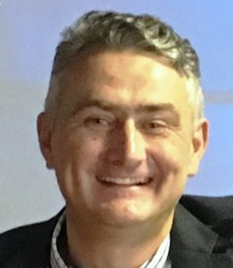
Damir Klobučar, Ph.D
Senior scientific associate
Croatian Forest Ltd Zagreb

Damir Klobučar was born in Gospić, where he finished elementary and high school of mathematics and computer science. After graduating from high school, he enrolled at the Faculty of Forestry, University of Zagreb, and regulated military service in 1989/90. years. In 1991/1992. he took part in the Croatian War of Independence in Gospić, and was awarded the Order of the Homeland War. He graduated in 1997 from the Faculty of Forestry in Zagreb. He received M.Sc. degree in 2002 and PhD in forest management in 2008 at the Faculty of Forestry in Zagreb. He received a degree University specialist in business systems management at the Faculty of Organization and Informatics Varaždin in 2018. His research is focused on forest management, remote sensing, the business analysis of Forest Company, investment and replacement of forest machines. He has published twenty professional and scientific papers. He is a reviewer in international scientific journals in the forestry scientific field. He is the employee of a state Company Croatian forest Ltd. Zagreb.
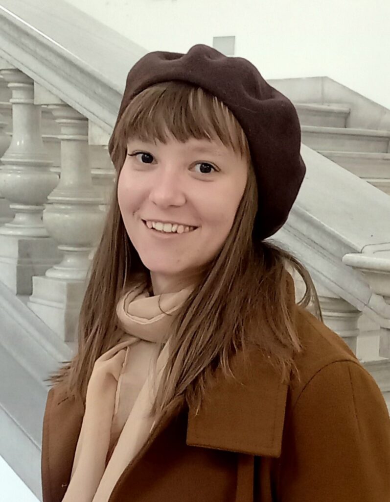
Katarina Pavlek Ph.D
Postdoctoral Researcher
University of Zagreb Faculty of Geodesy

Katarina Pavlek is a postdoctoral fellow at the Chair of Photogrammetry and Remote Sensing, University of Zagreb Faculty of Geodesy. She graduated from the Department of Geography, University of Zagreb Faculty of Science in 2019, earning the academic title of Master of Geography, specializing in Physical Geography with Geoecology. She defended her doctoral dissertation entitled "Hydromorphological Changes and Sensitivity Assessment of the Orljava River" in January 2025, also at the Department of Geography, Faculty of Science in Zagreb, earning the title of Doctor of Natural Sciences. Her scientific research focuses on geomorphic changes of river channels, with an emphasis on interactions between vegetation and river processes, and on the analysis of land cover changes using remote sensing. During her master and doctoral studies, she spent more than a year at foreign universities, including a six-month stay at Lancaster University (United Kingdom) as part of an ERASMUS+ scholarship, and a six-month stay at the University of Vienna supported by the Ernst Mach scholarship for doctoral students. From 2020 to 2023, she was employed as an associate on projects of hydromorphological research of rivers in Croatia at the Department of Geography, Faculty of Science. So far, she has published seven scientific papers cited in the Web of Science Core Collection (WoSCC). She is a member of the Croatian Geomorphological Society and the European Geoscience Union.
