The 2nd International Conference of Environmental Remote Sensing and GIS (ICERS 2026) was officially opened today at the National and University Library in Zagreb. Held from 1 to 3 July, the international scientific conference brings together leading researchers, scientists and experts in the fields of remote sensing, Geographic Information Systems (GIS), Earth observation and artificial intelligence.
The conference is organized by the Faculty of Geodesy, University of Zagreb, within the framework of the ALCAR scientific research project, funded by the Croatian Science Foundation, and is held under the auspices of the Ministry of Environmental Protection and Green Transition.
ICERS 2026 once again confirms its strong international reputation. The conference welcomes around 300 scientists, experts and institutional representatives from 32 countries, while the conference proceedings include 76 peer-reviewed scientific papers authored by more than 250 researchers from 35 countries across five continents. These figures further establish ICERS as one of the leading international scientific events in this part of Europe dedicated to the application of geospatial technologies in environmental protection and sustainable development.
This year’s programme focuses on some of today’s most pressing global challenges, including climate change, satellite-based Earth observation, artificial intelligence, disaster risk management, environmental and biodiversity conservation, sustainable development, spatial data interoperability, and the application of geospatial technologies in evidence-based decision-making.
Today, satellite observations combined with artificial intelligence enable near real-time monitoring of climate change, wildfires, floods, droughts, agricultural crops and urban development. As a result, these technologies are becoming increasingly important for environmental protection, natural resource management and informed decision-making at both national and global levels.
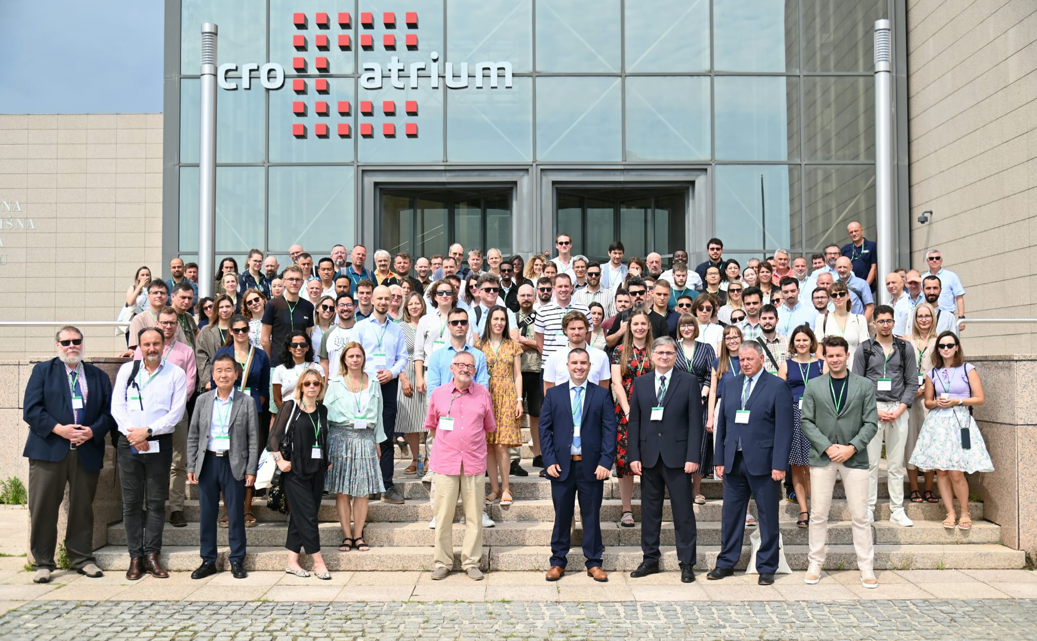
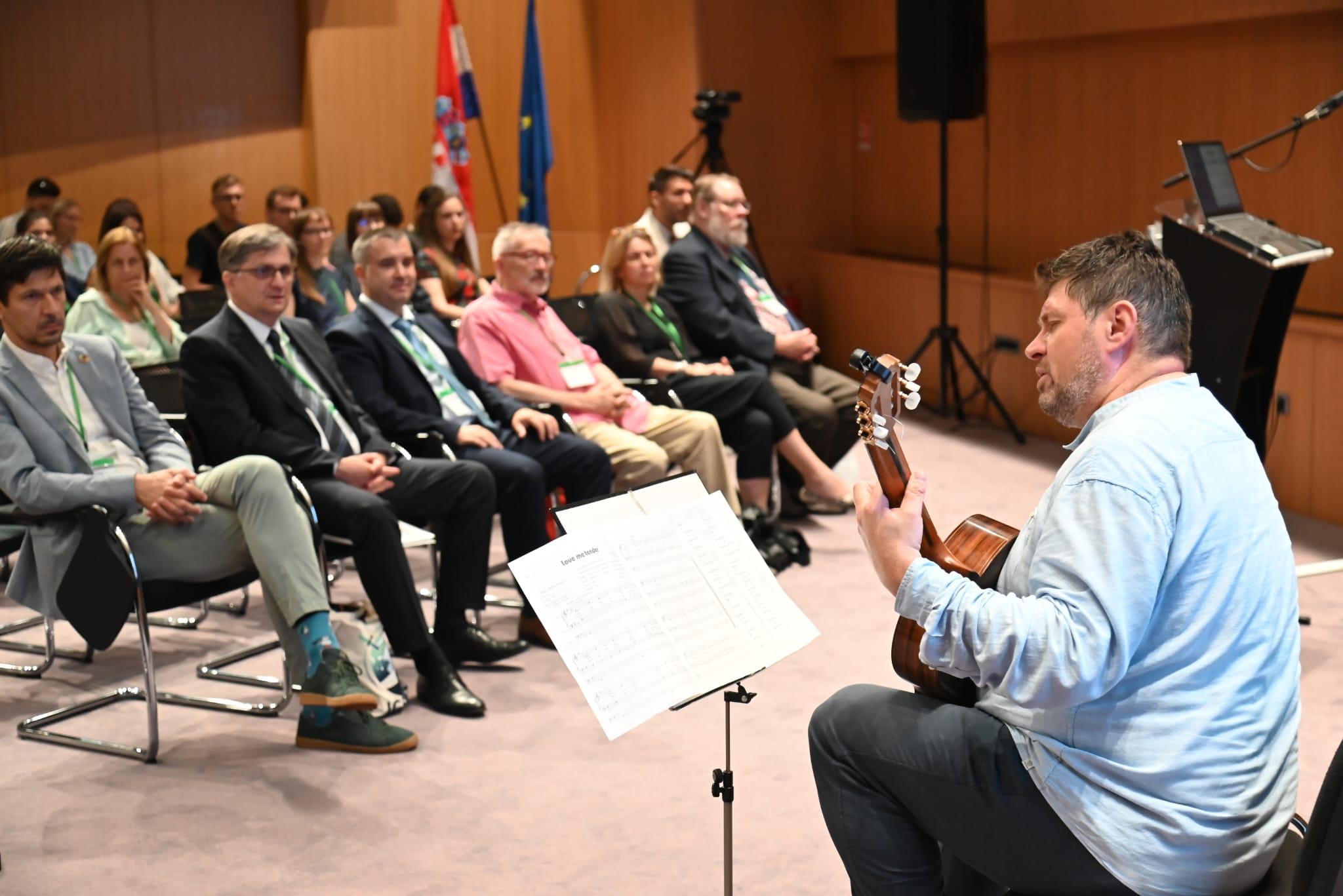
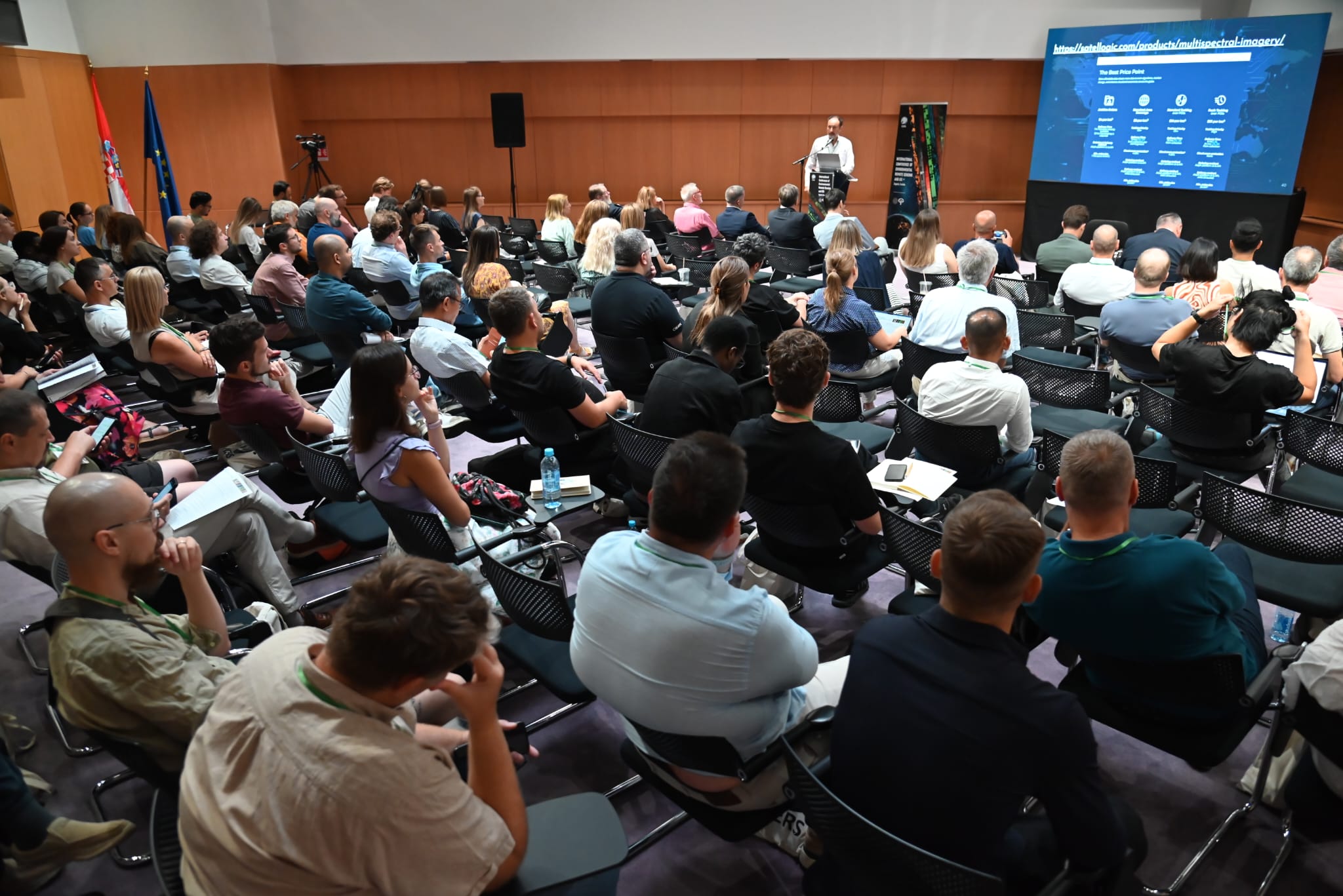
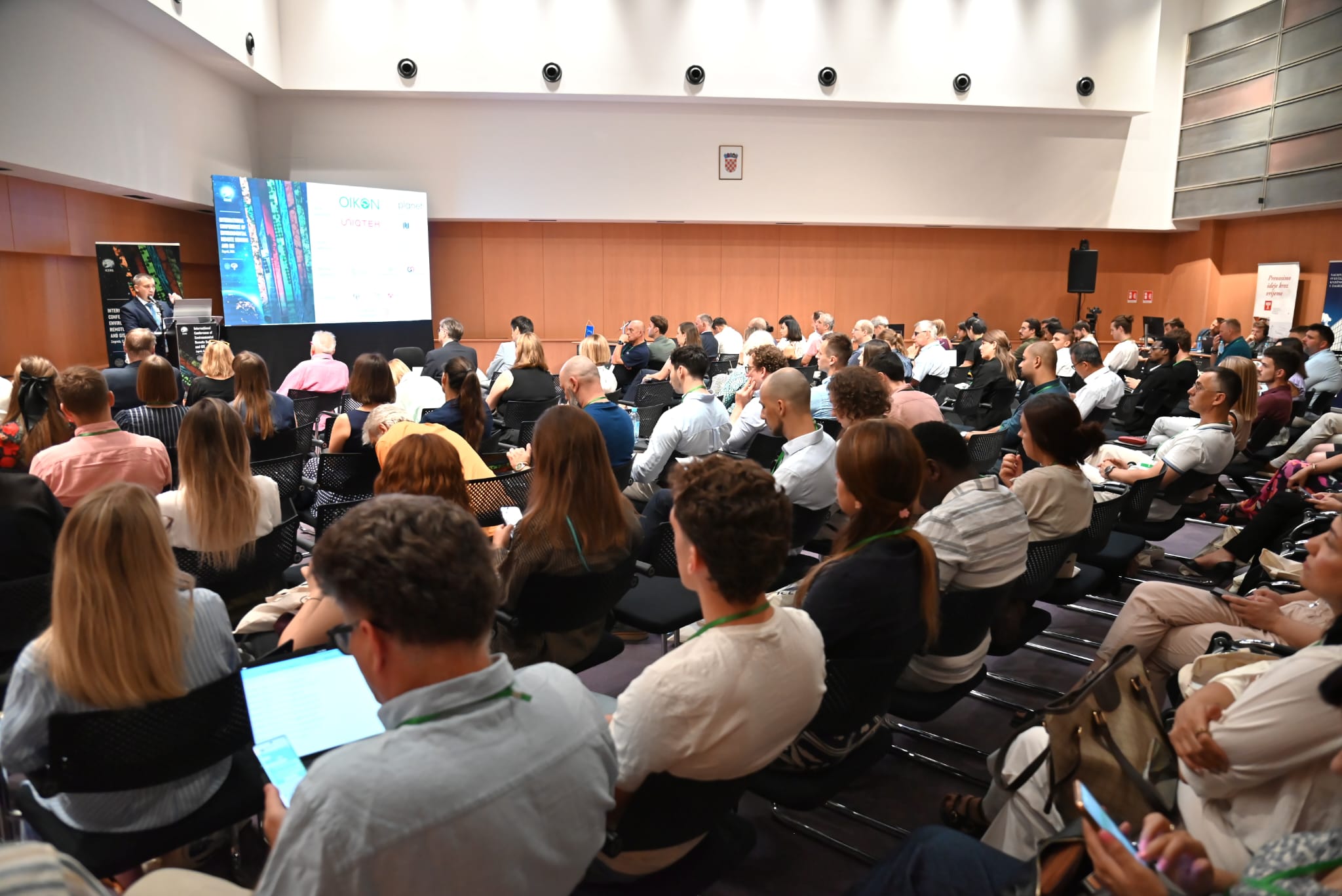
The opening ceremony was attended by numerous representatives of government institutions, academia and the professional community, including Antonio Šustić, Director General of the State Geodetic Administration, and Dr Aljoša Duplić, Director of the Institute for Environment and Nature of the Ministry of Environmental Protection and Green Transition, who officially opened the conference. Representatives of Croatian universities, professional organizations, public institutions, industry and the international scientific community also attended the ceremony.
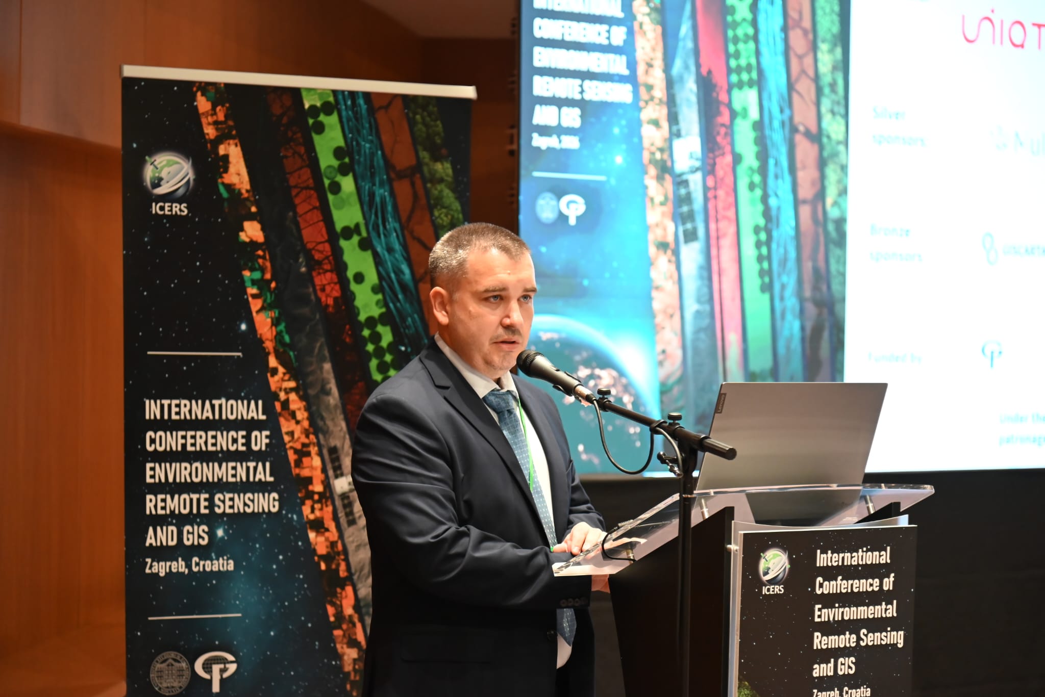
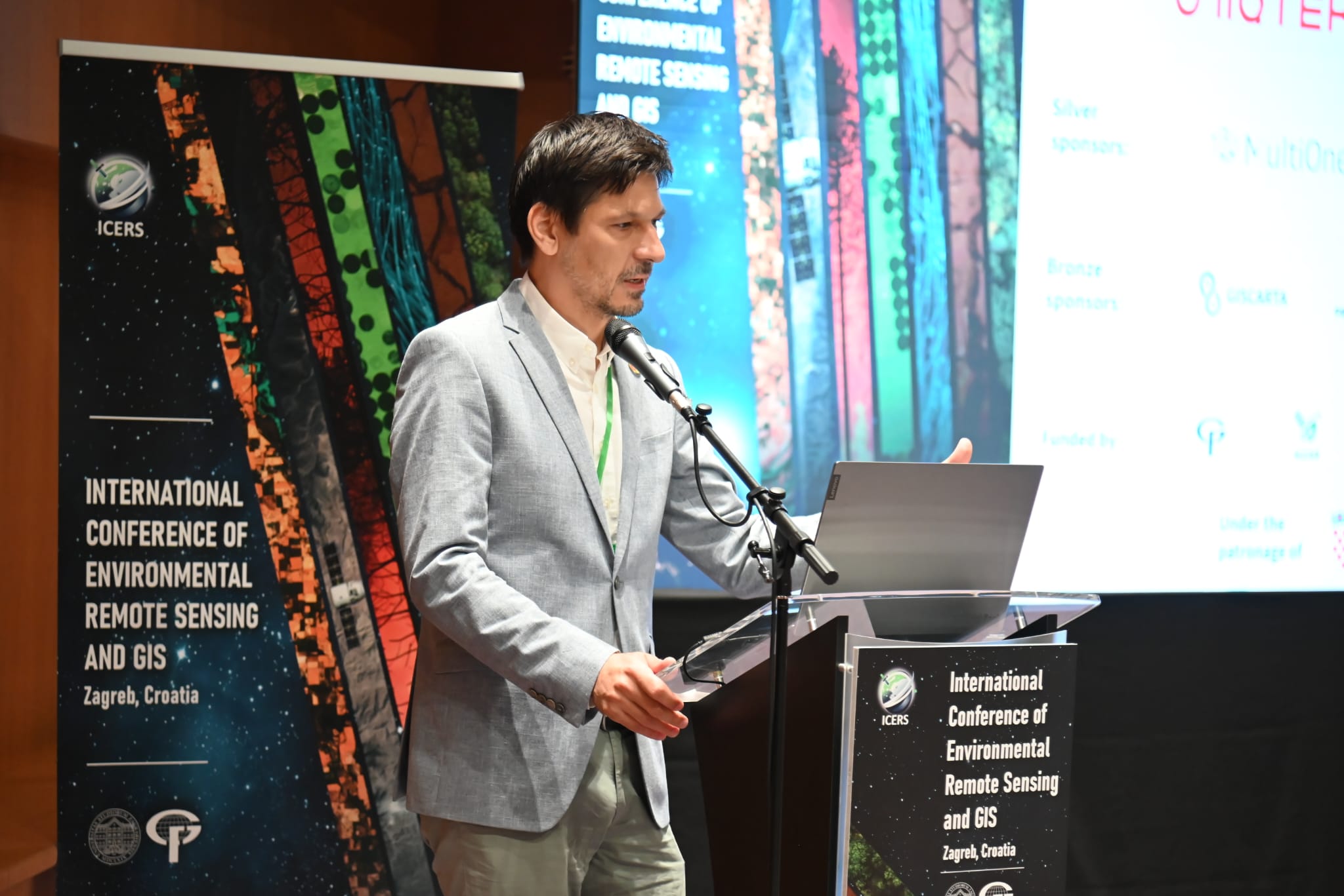
Speaking at the opening of the conference, Associate Professor Mateo Gašparović, PhD, Chair of the ICERS Organizing and Scientific Committee, emphasized the crucial role that modern geospatial technologies play in understanding and addressing global challenges.
“Satellites collect enormous amounts of data about our planet every day. Combined with artificial intelligence, they have become one of the most powerful tools for understanding climate change, managing natural disasters and protecting the environment. This is precisely why ICERS brings together leading experts from around the world—to jointly develop innovative solutions for the challenges of the future,” said Gašparović.
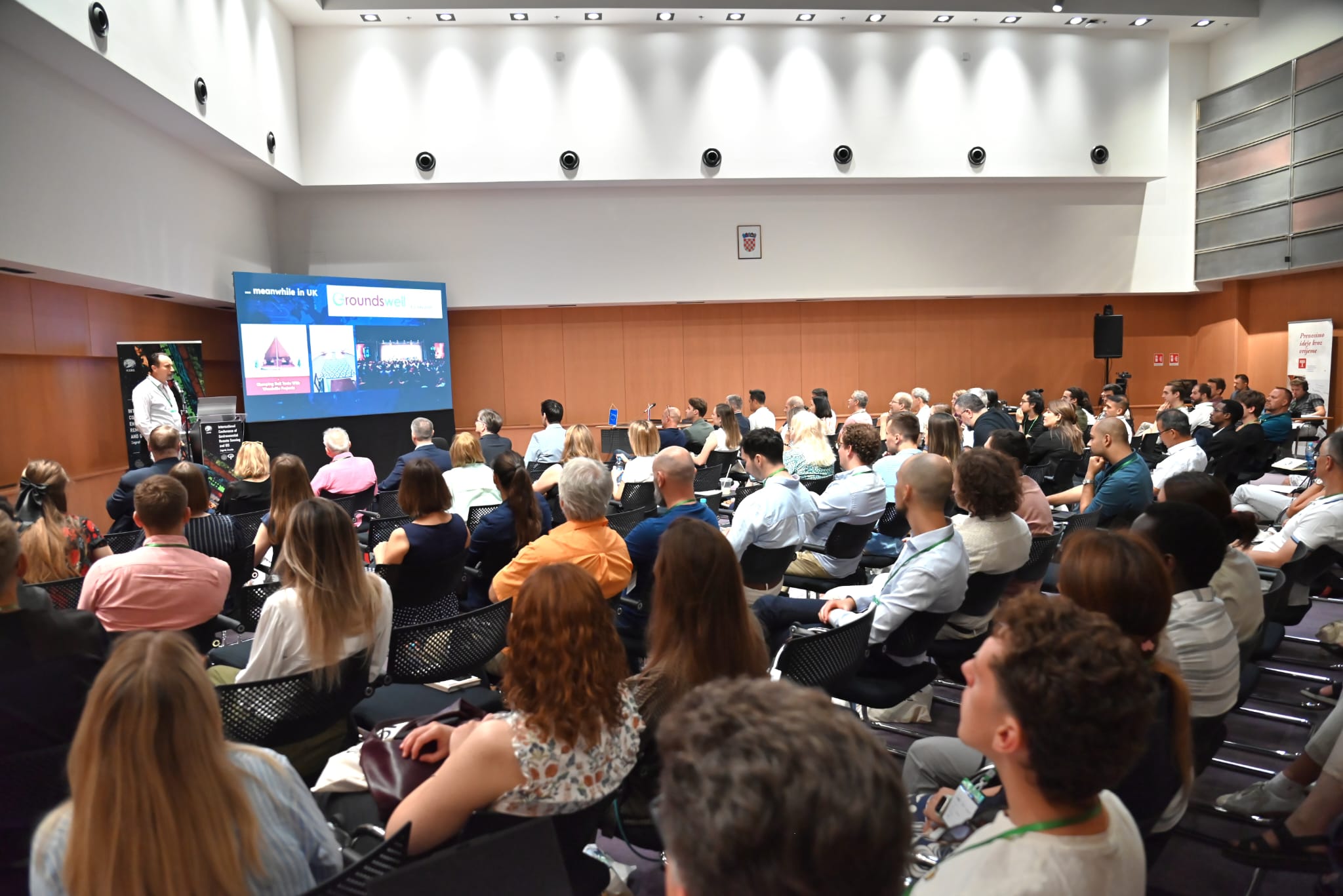
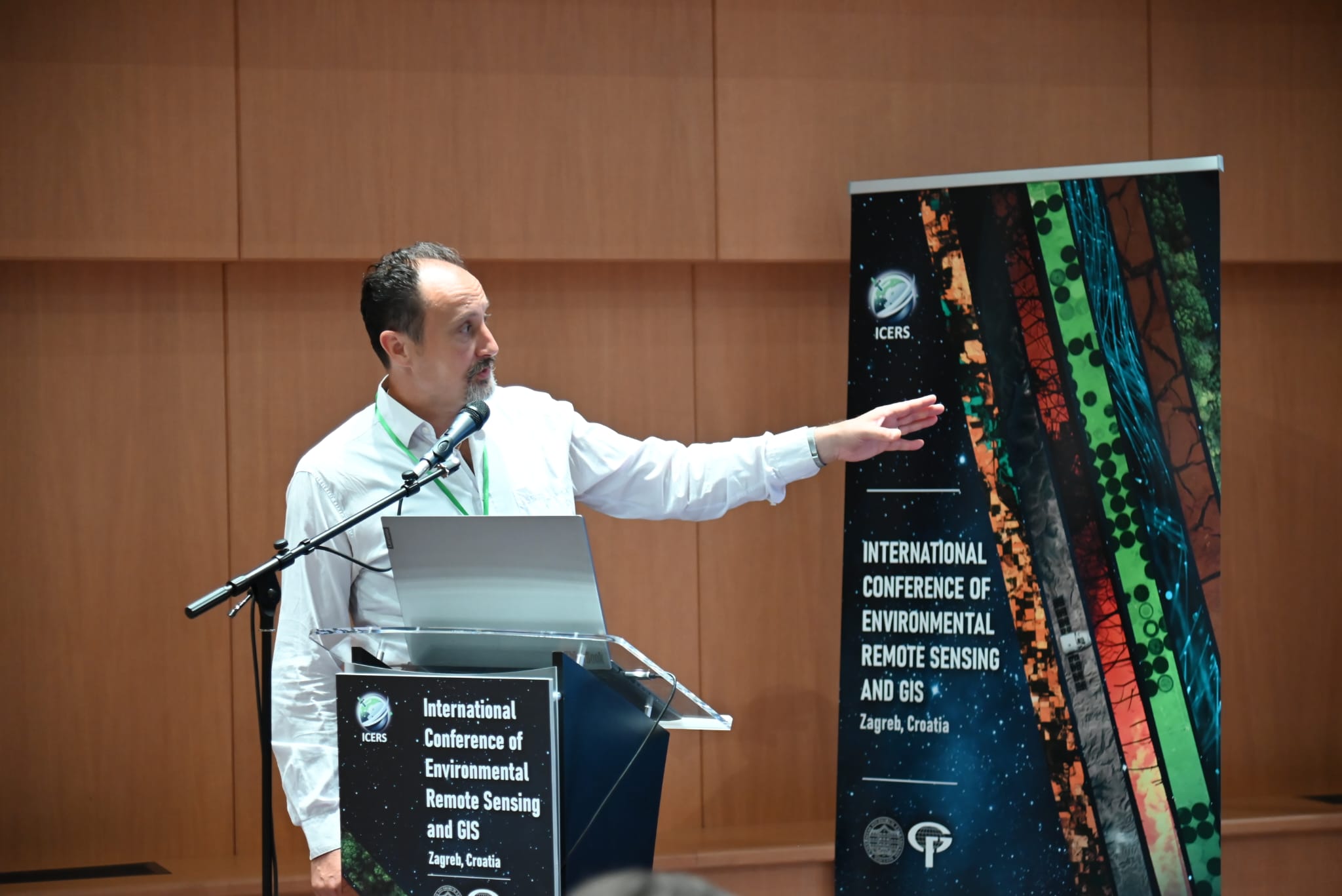
The conference programme features keynote lectures by internationally recognized experts. The opening keynote was delivered by Dr Tomislav Hengl (Netherlands), whose presentation, “Future of Open Earth Observation and Geospatial Technologies in the Time of AI and Intelligent Machines,” explored how artificial intelligence is transforming the future of open Earth observation and geospatial technologies.
Among the distinguished keynote speakers was also Professor Geoffrey M. Henebry (United States), whose lecture, “Vegetation Seasonality Indicators: Three Use Cases from Romanian Croplands,” demonstrated how satellite observations enable detailed vegetation monitoring and provide new insights into the impacts of climate change on agriculture.
On the second day of the conference, one of Europe’s leading experts in radar remote sensing, Professor Wolfgang Wagner (Austria), will present a keynote lecture discussing the opportunities and challenges of applying artificial intelligence to data acquired by the European Sentinel-1 satellite mission.
The third day will feature a keynote presentation by Karol Brzostowski from the European Space Agency (ESA) entitled “ESA–Croatia Cooperation: Summary and Success Stories,” highlighting the successful collaboration between Croatia and ESA and showcasing examples of joint scientific and technological projects.
Reflecting on the Faculty of Geodesy’s long-standing cooperation with the European Space Agency, Gašparović emphasized that the Faculty has become one of ESA’s leading Croatian partners in recent years.
“The Faculty of Geodesy has successfully participated in more than ten scientific research projects funded by the European Space Agency. This cooperation demonstrates that Croatian scientists actively contribute to the development of state-of-the-art Earth observation technologies, artificial intelligence and geospatial systems, while playing an increasingly important role within the European space programme,” Gašparović said.
The conference programme covers a broad range of research topics, including climate change, forestry, agriculture, marine and coastal environments, urban heat islands, natural disasters, precision agriculture, smart cities and the application of artificial intelligence to large-scale satellite data analysis. Particular emphasis is placed on developing technologies that enable faster, more reliable and higher-quality decision-making in environmental protection, natural resource management and climate change adaptation.
Over the course of three days, Zagreb becomes a meeting place for leading international experts in Earth observation, artificial intelligence and satellite technologies, further reinforcing Croatia’s growing role in international scientific research dedicated to environmental protection and sustainable development.
The conference can also be followed online via https://alcar.geof.hr/icers-live/, while additional information about the programme, keynote speakers and participants is available at the official conference website: https://alcar.geof.hr/icers-conference/.
ICERS 2026 once again confirms the position of Zagreb and Croatia as an important international hub for scientific collaboration in Earth observation, artificial intelligence and geospatial technologies, while highlighting the increasingly significant contribution of Croatian scientists to the development of technologies that will play a vital role in addressing the global challenges of climate change and sustainable development.