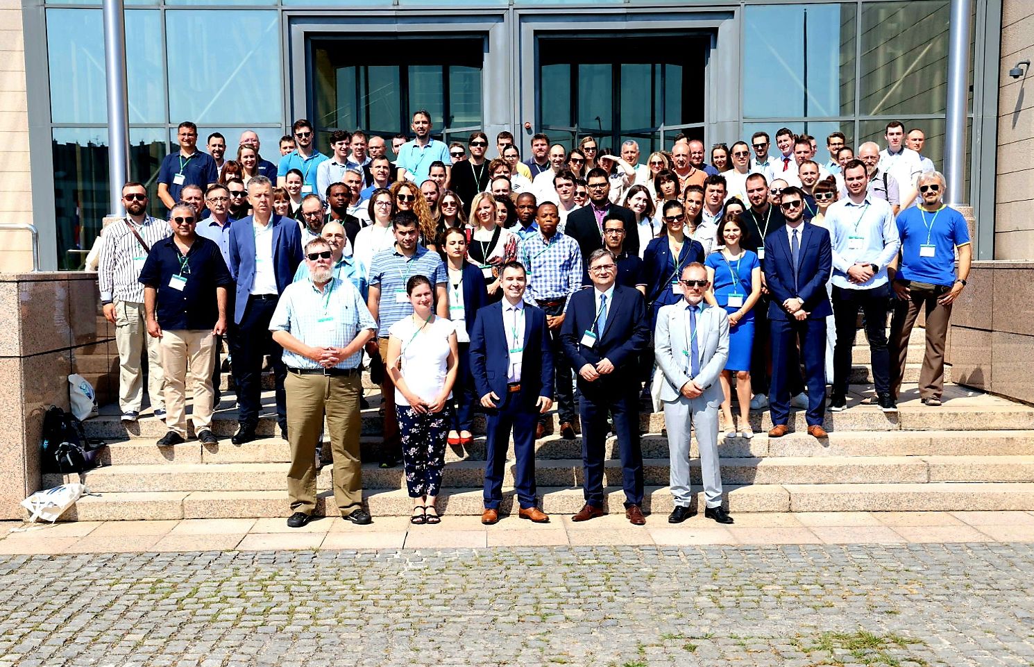
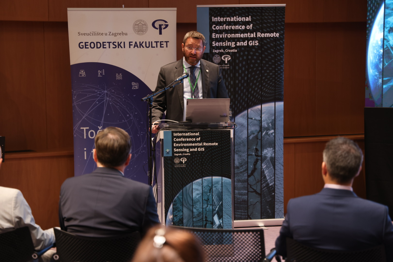
The first International Conference of Environmental Remote Sensing and GIS – ICERS dedicated to remote sensing and GIS was held on July 11 and 12, 2024 in the National and University Library in Zagreb, organized by the Faculty of Geodesy, University of Zagreb. The conference was organized as part of the project “Assessment of the long-term effect of climatic and anthropogenic influences on the spatio-temporal dynamics of vegetation cover in Croatia using satellite observations” (ALCAR) funded by the Croatian Science Foundation.
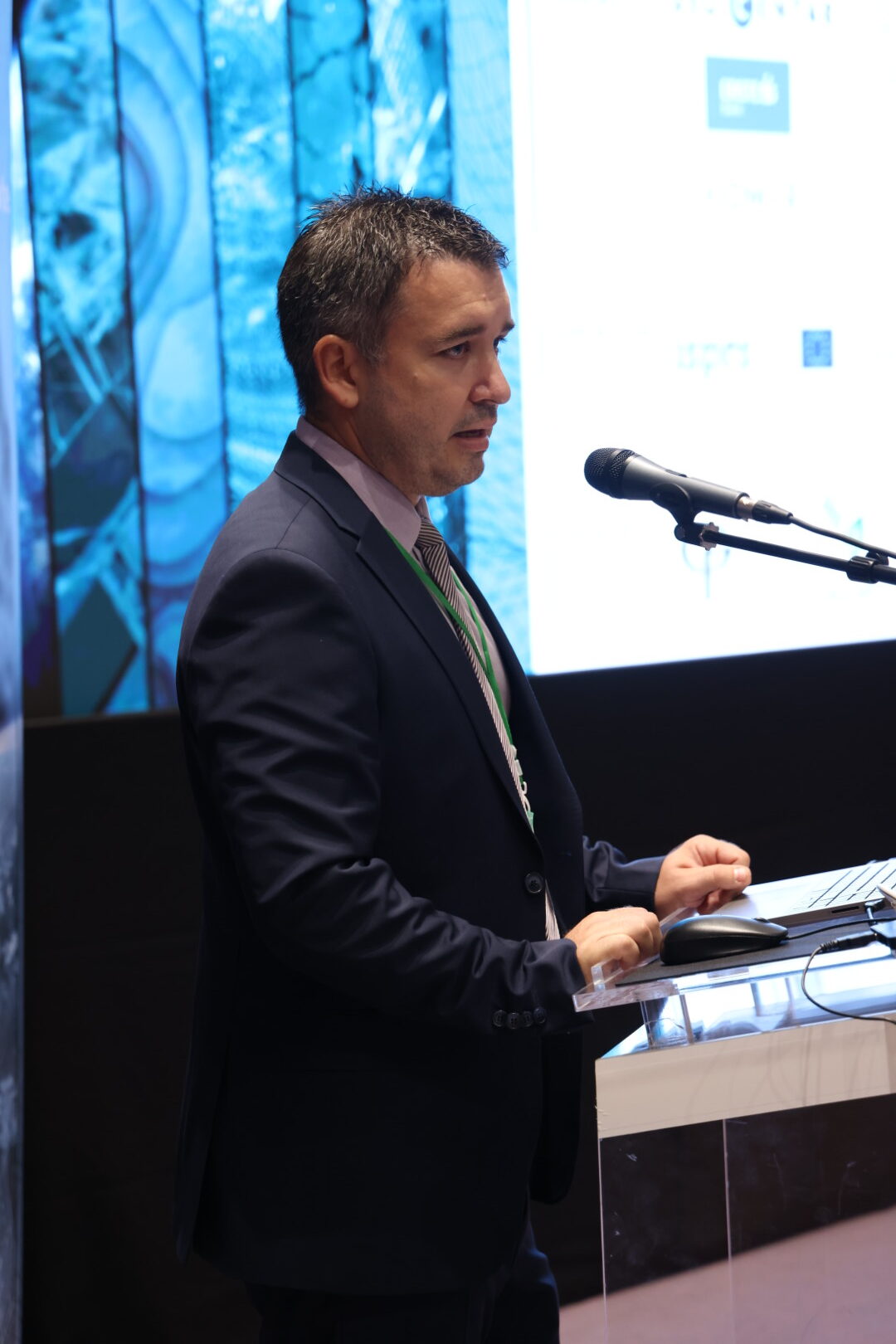
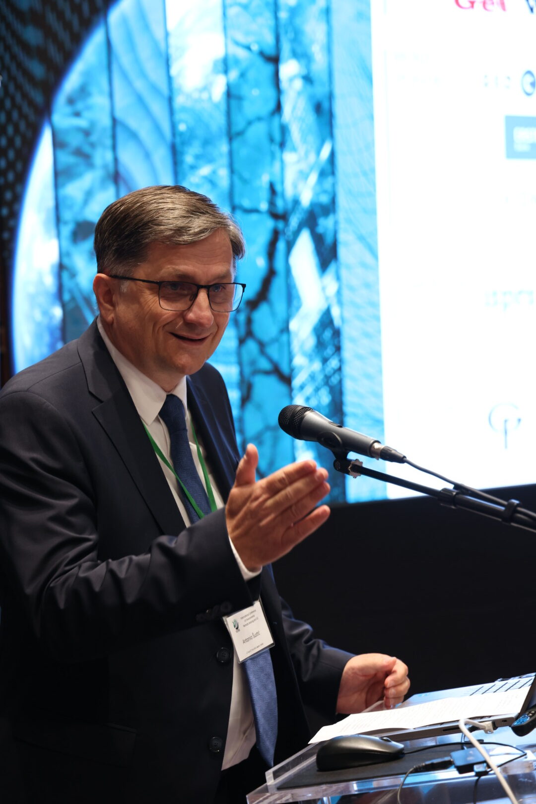
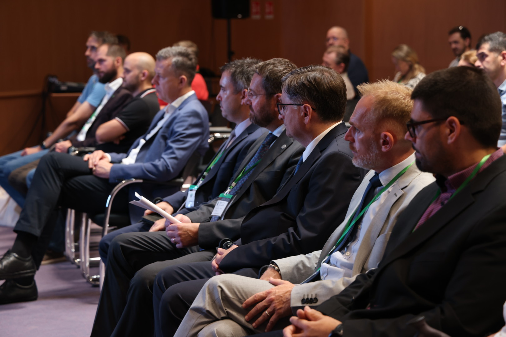
The official opening of the conference was attended by numerous invitees and guests, among them: the Vice-dean for education and students of the Faculty of Geodesy of the University of Zagreb and the president of the Organizational and Scientific Committee of the ICERS conference, Associate Professor Mateo Gašparović, Director General of the State Geodetic Administration, Mr. Antonio Šustić, Vice-rector for Innovation, Technology Transfer and Cooperation with Economic Sector, Professor Tomislav Josip Mlinarić, president of the Croatian Cartographic Society, Professor Emeritus Miljenko Lapaine, president of the Croatian Geodetic Society, Associate Professor Rinaldo Paar and the president of the Croatian Chamber of Chartered Geodetic Engineers, Mr. Ivan Kalina.
The goal and purpose of the ICERS conference is to gather experts and researchers from all over the world in one place and share the latest achievements in the field of remote sensing and GIS while offering new perspectives for solving problems related to environmental changes.
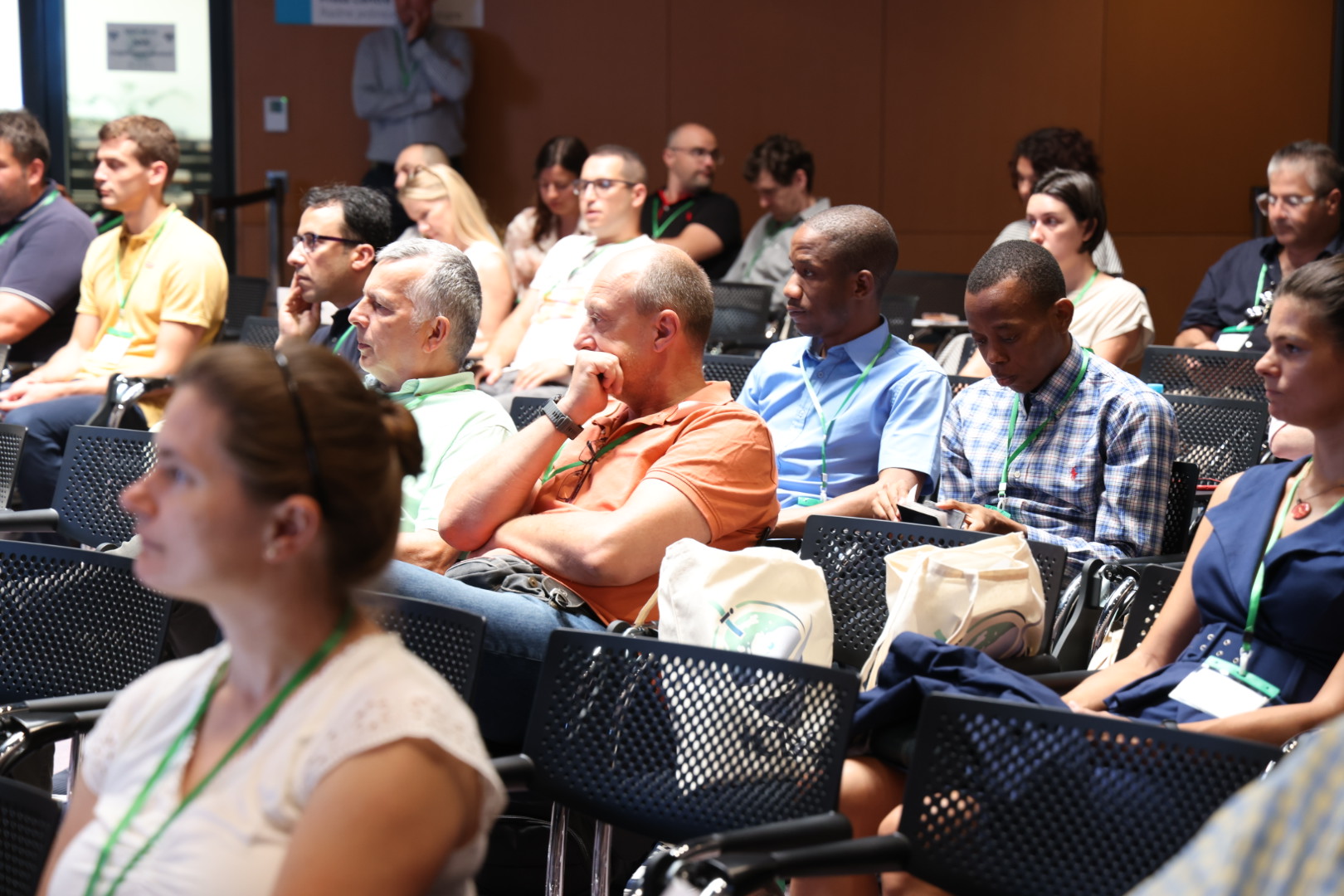
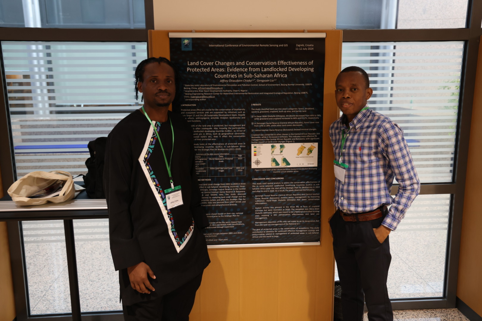

The conference was divided into seven sessions: Remote Sensing for Environmental Monitoring, Disaster Management and Response, GIS for Sustainable Development, Innovations in Spatial Data-Acquiring Technologies, Conservation and Biodiversity, Artificial Intelligence and Big Aata, and Climate Change Mitigation Politics. In the presented papers, the authors showed how to use innovative technologies and apply the possibilities of remote sensing in determining and monitoring climate changes, sustainable development, and resource management on numerous practical examples. A total of 49 presentations were presented by domestic and foreign authors from 17 countries (Croatia, Germany, USA, Norway, France, China, South Korea, Ethiopia, Turkey, Slovenia, Italy, Hungary, Kyrgyzstan, Georgia, Serbia, Bulgaria and Bosnia and Herzegovina) within 4 continents.
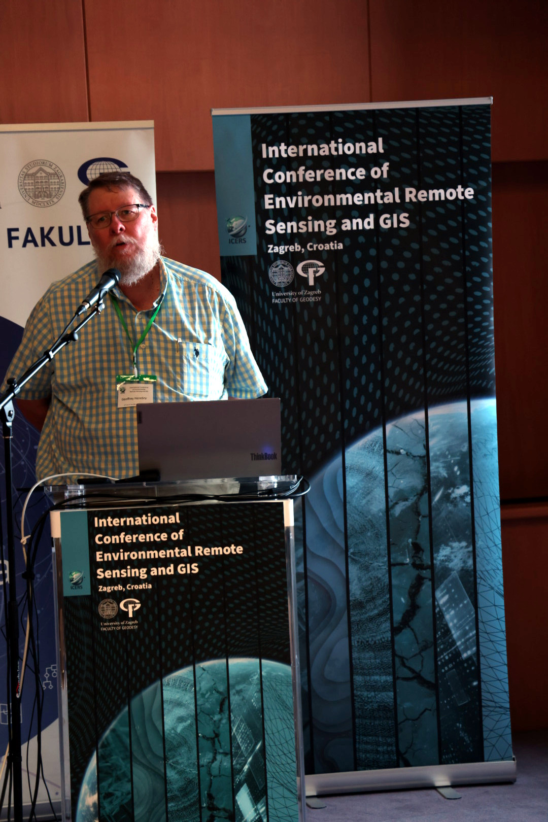
Among the numerous conference participants, it is important to highlight the world-famous invited lecturers: Full Prof. Geoffrey M. Henebry of Michigan State University, Department of Geography, Environment, and Spatial Sciences & the Center for Global Change & Earth Observations, United States of America, and Imelda Somodi, PhD, from the Institute of Ecology and Botany, Centre for Ecological Research, Hungary. Both stimulated numerous discussions with their interesting and topical lectures and gave answers to critical issues in the field of remote sensing in monitoring phenology and the impact of climate change on vegetation.
As a result of presented research and scientific projects dealing with the application of remote sensing and GIS, the 1st Proceedings of the ICERS conference were published, which are available in printed and digital form (https://doi.org/10.5281/zenodo.11522463).
During the two days, the conference brought together more than 120 participants which stimulated rich and interesting debates and discussions on monitoring changes and preserving the environment using remote sensing and GIS methods. More information about the conference can be found at the link: https://alcar.geof.hr/icers/.
We would like to thank all the lecturers, participants, and sponsors who helped make the 1st International Conference of Environmental Remote Sensing and GIS – ICERS interesting, useful, and educational, and we hope that this is only the first ICERS conference of many to come.