Date: July 7–8, 2025
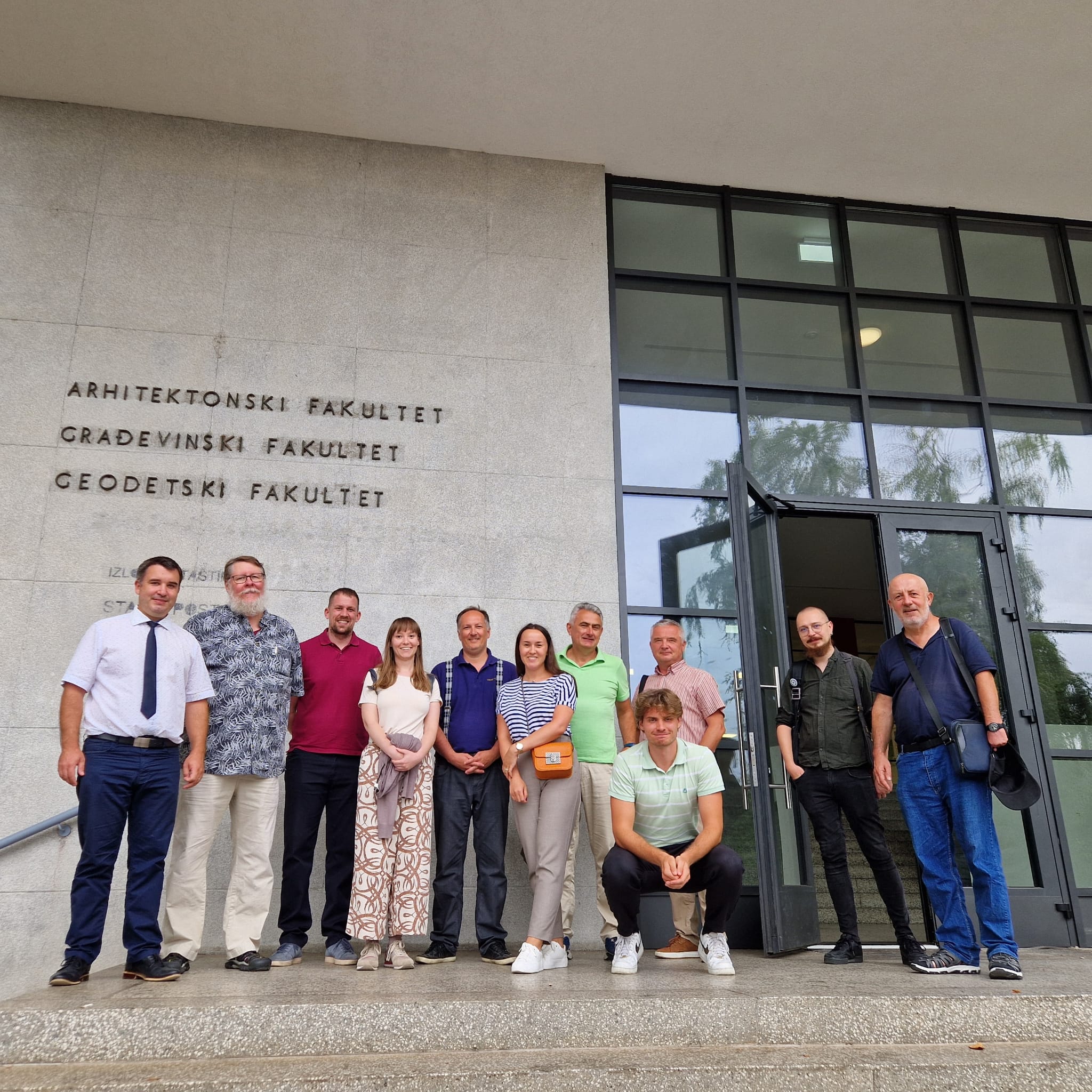
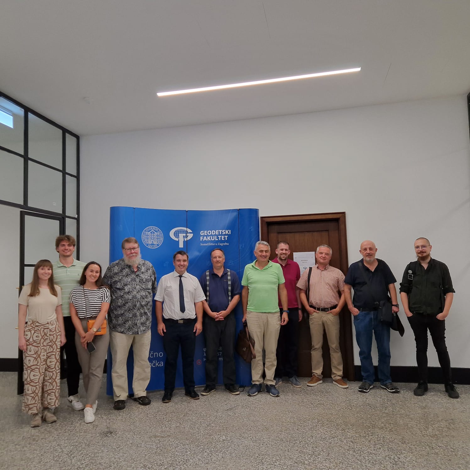
Venue: University of Zagreb Faculty of Geodesy, Kačićeva 26, Zagreb, Croatia
Hosted by: Faculty of Geodesy, University of Zagreb
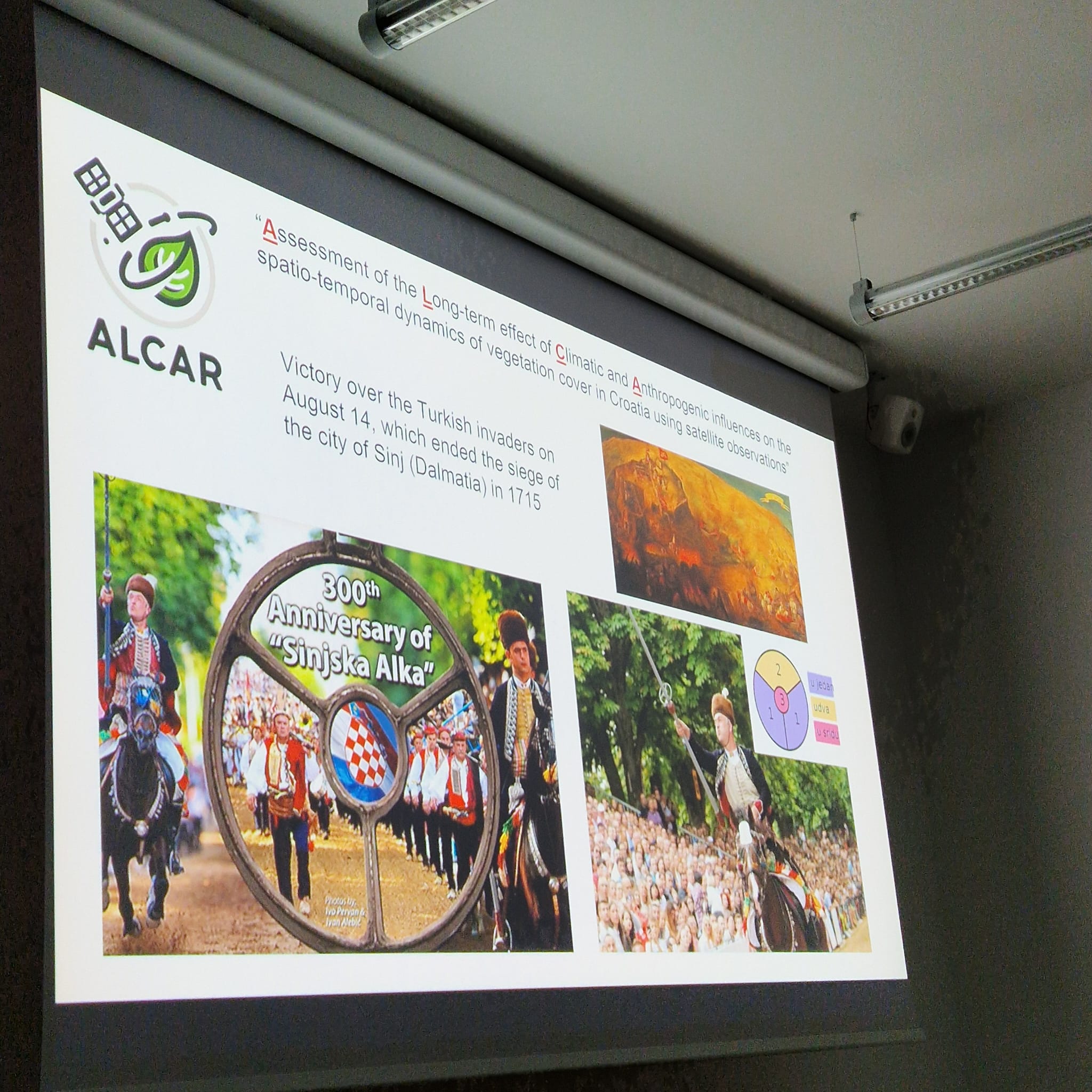
Project Title: Assessment of the Long-term Climatic and Anthropogenic Effects on the Spatio-temporal Vegetated Land Surface Dynamics in Croatia using Earth Observation Data
Acronym: ALCAR
Funded by: Croatian Science Foundation (HRZZ)
Project Code: IP-2022-10-5711
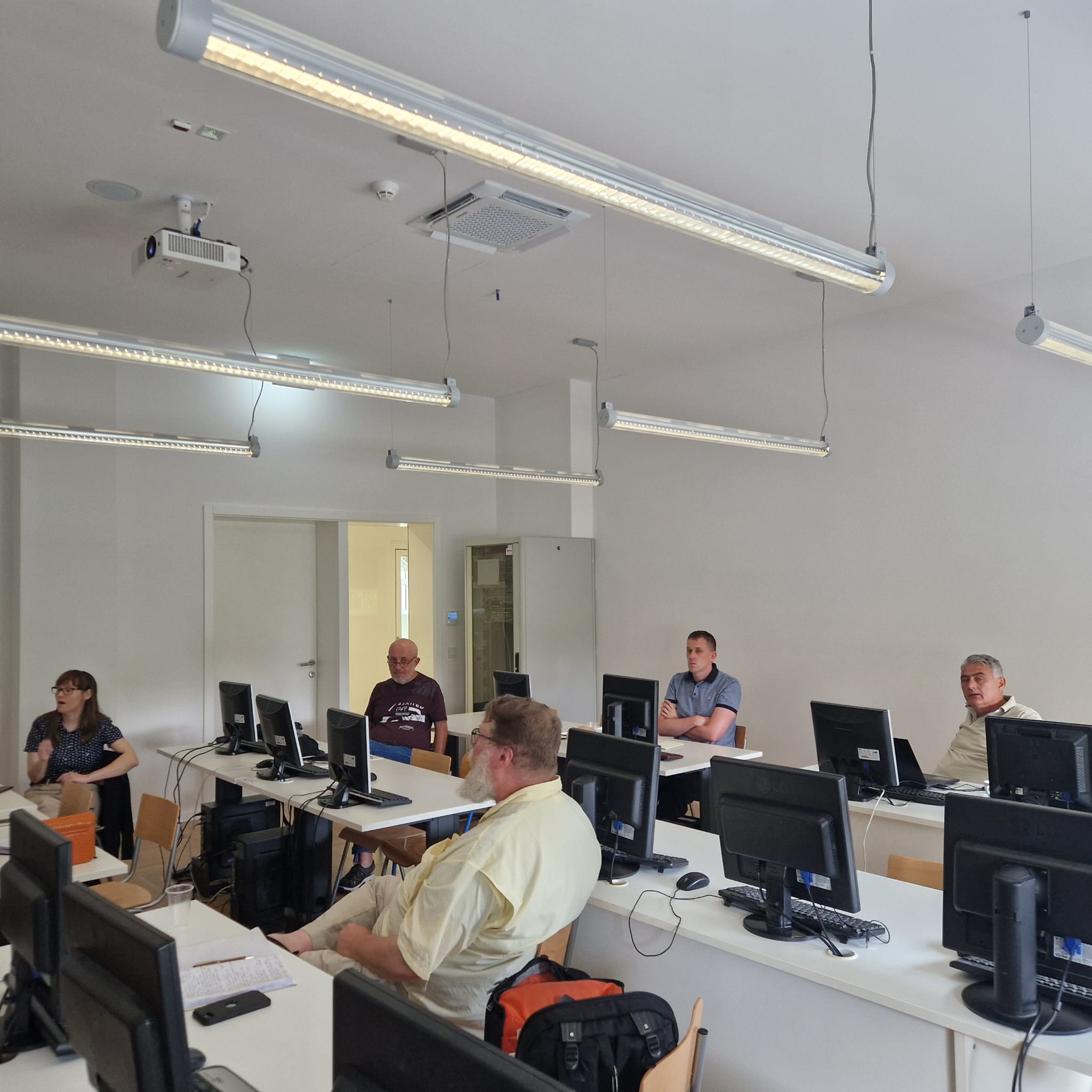
The 2nd ALCAR Workshop brought together leading researchers, geospatial experts, and environmental scientists to present and discuss recent progress in the ALCAR project. This two-day scientific meeting aimed to deepen the understanding of how climate change and human activities influence vegetated land surfaces in Croatia, using advanced Earth observation data and methods.
Led by Assoc. Prof. Mateo Gašparović, the workshop was an opportunity to share results, refine methodologies, and explore interdisciplinary applications of satellite data for sustainable land management and environmental monitoring.
The ALCAR project contributes to national and regional efforts to understand and adapt to environmental changes. By applying remote sensing technologies, advanced data analysis, and machine learning, the project supports:
- Monitoring and forecasting of vegetation dynamics
- Sustainable agricultural practices
- Forest and biodiversity management
- Climate resilience planning
- Evidence-based policy development
Workshops such as this play a vital role in building scientific networks and ensuring that research translates into meaningful impact.
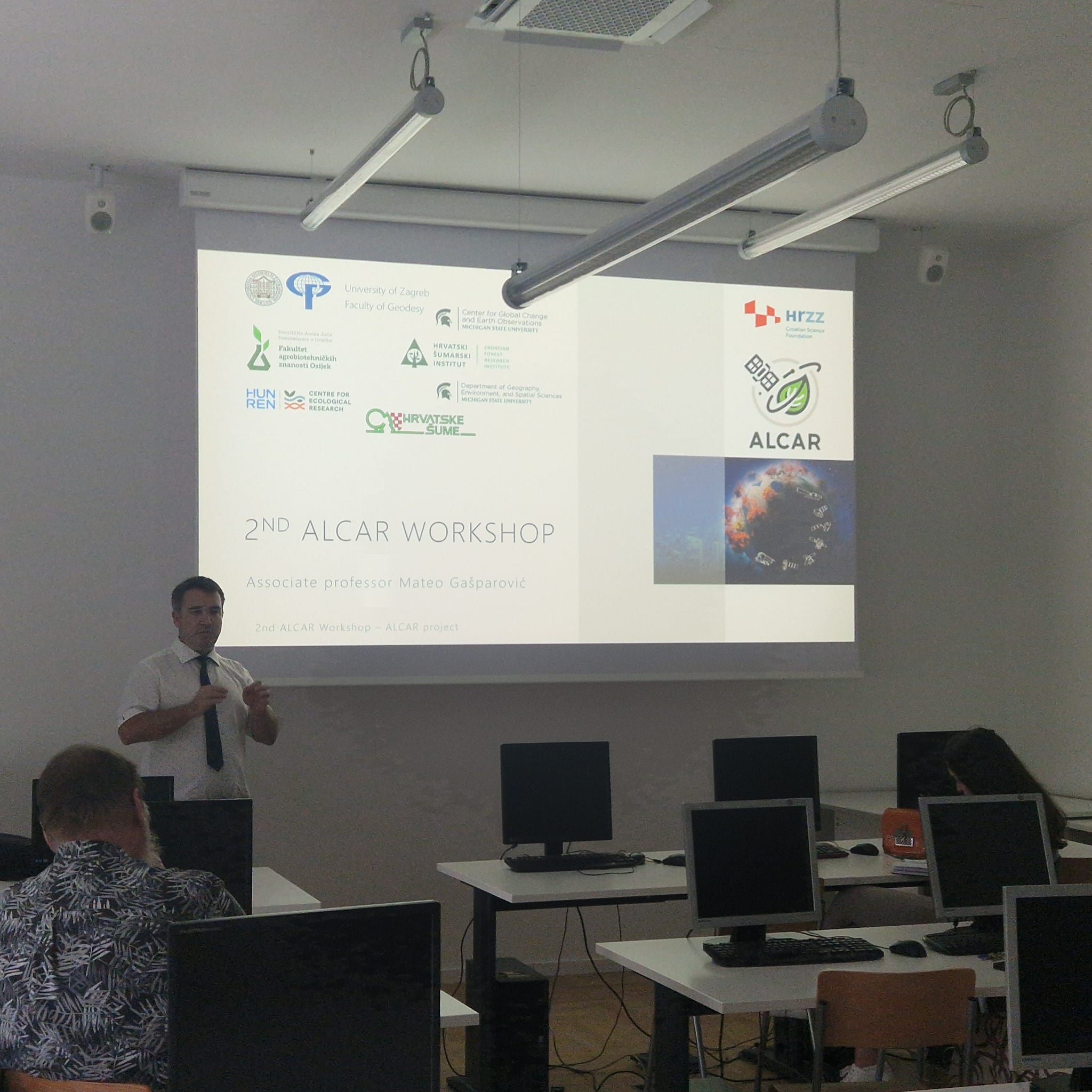
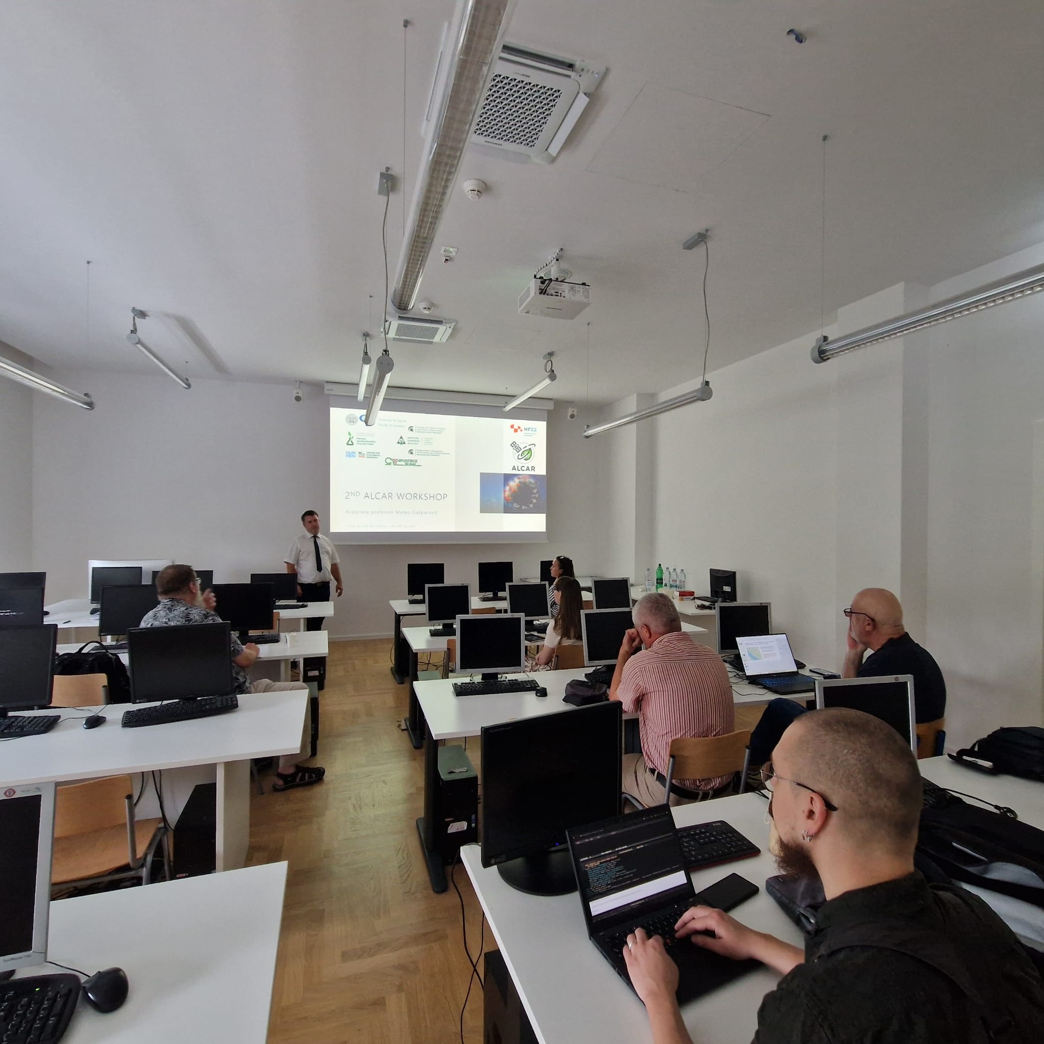
The workshop began with a progress report on the ALCAR project’s second year, presented by Assoc. Prof. Mateo Gašparović. This session outlined key milestones, research goals, and upcoming challenges in the project’s implementation.
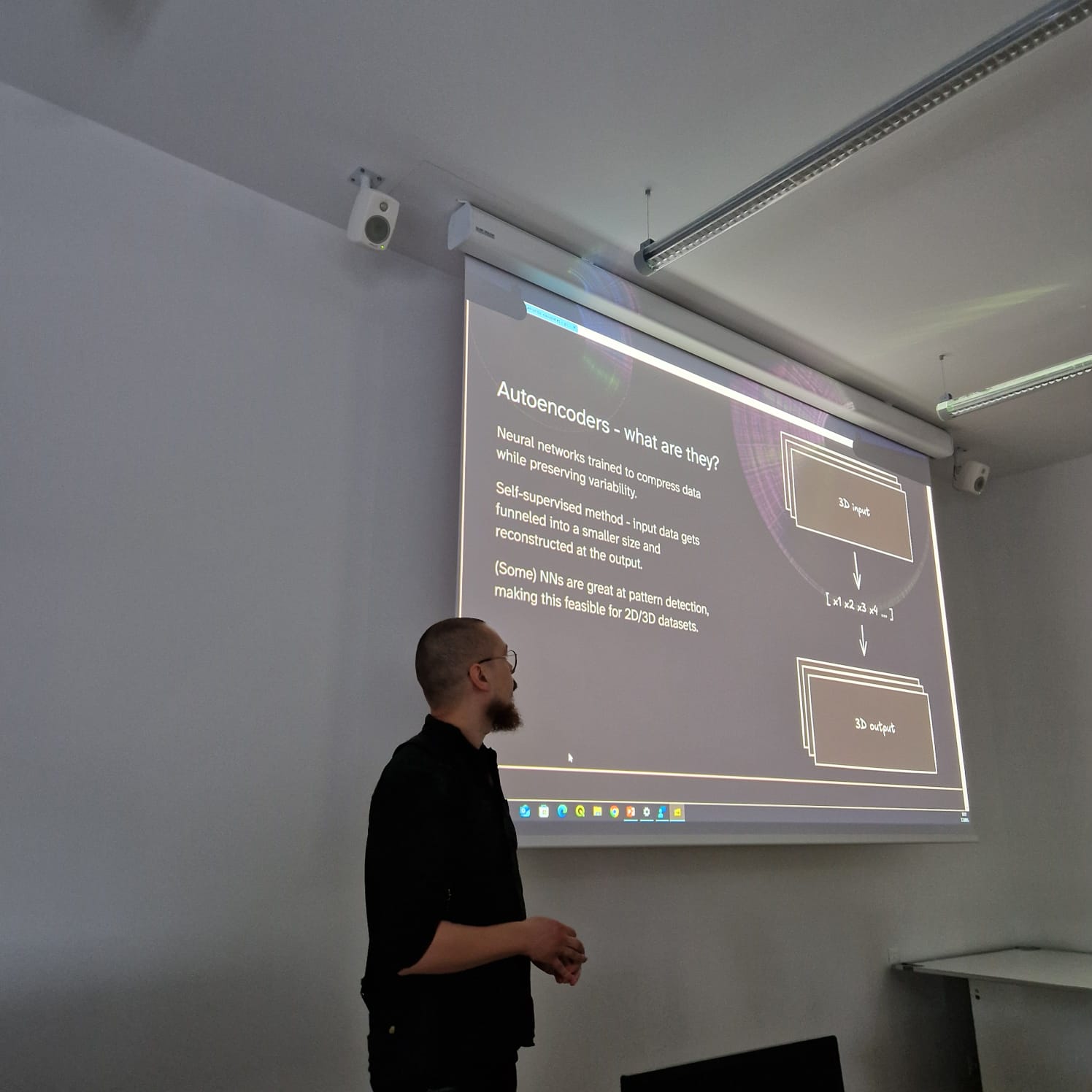
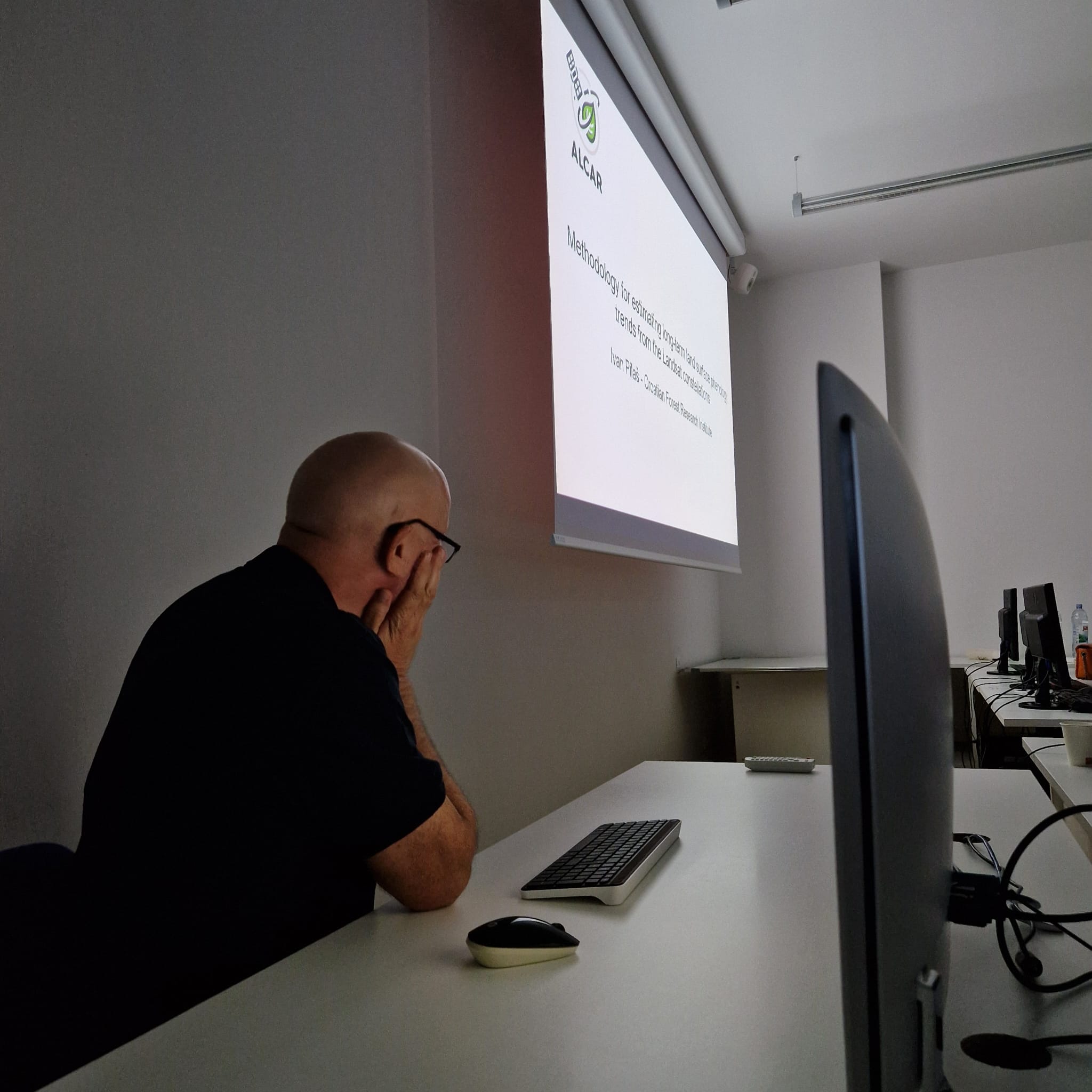
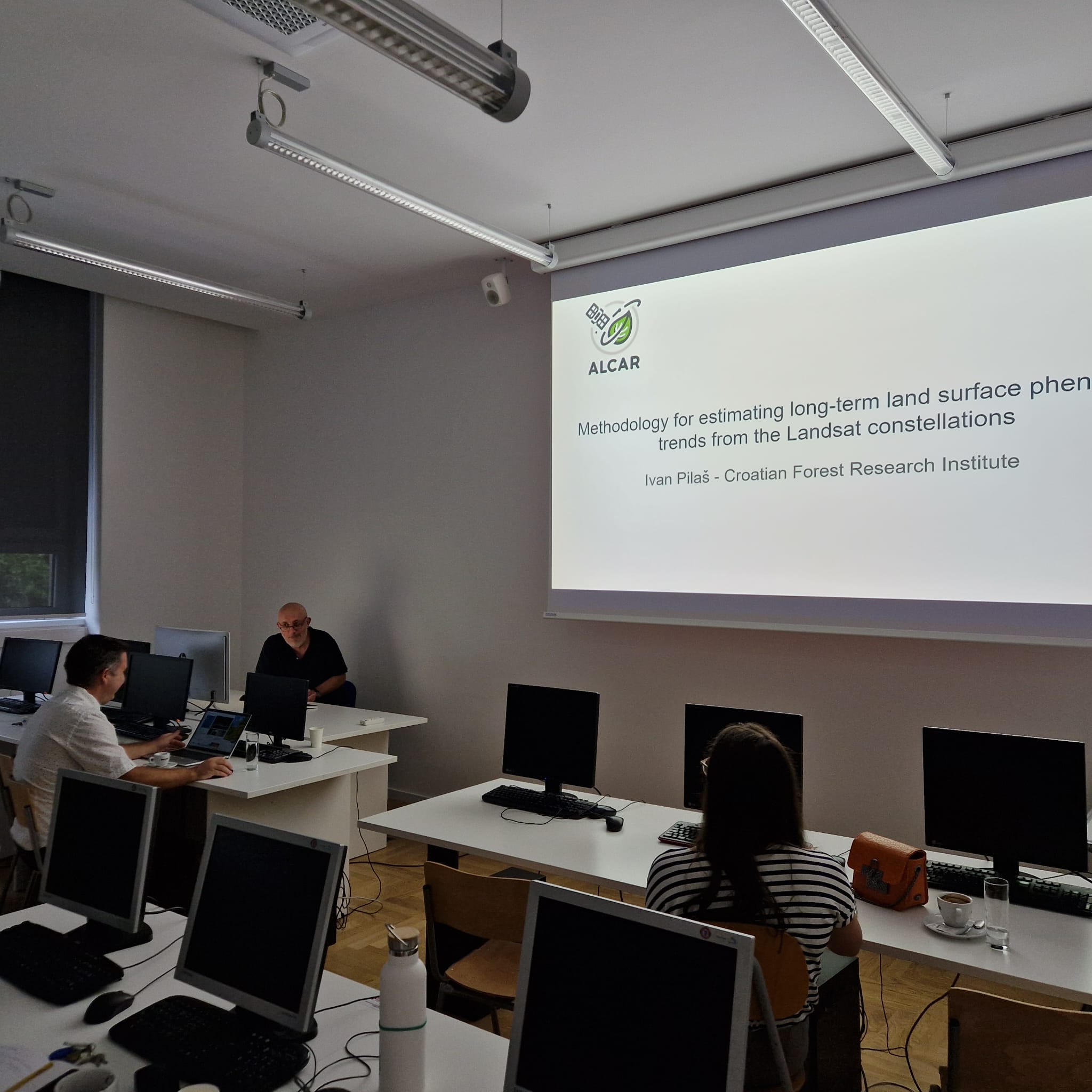
Following this introduction, the day featured several technical presentations. Ivan Pilaš, PhD, presented a methodology for estimating long-term land surface phenology trends using the Landsat satellite constellation. Luka Antonić discussed the use of semantic covariates and pixel-wise spatiotemporal context within EO data cubes.
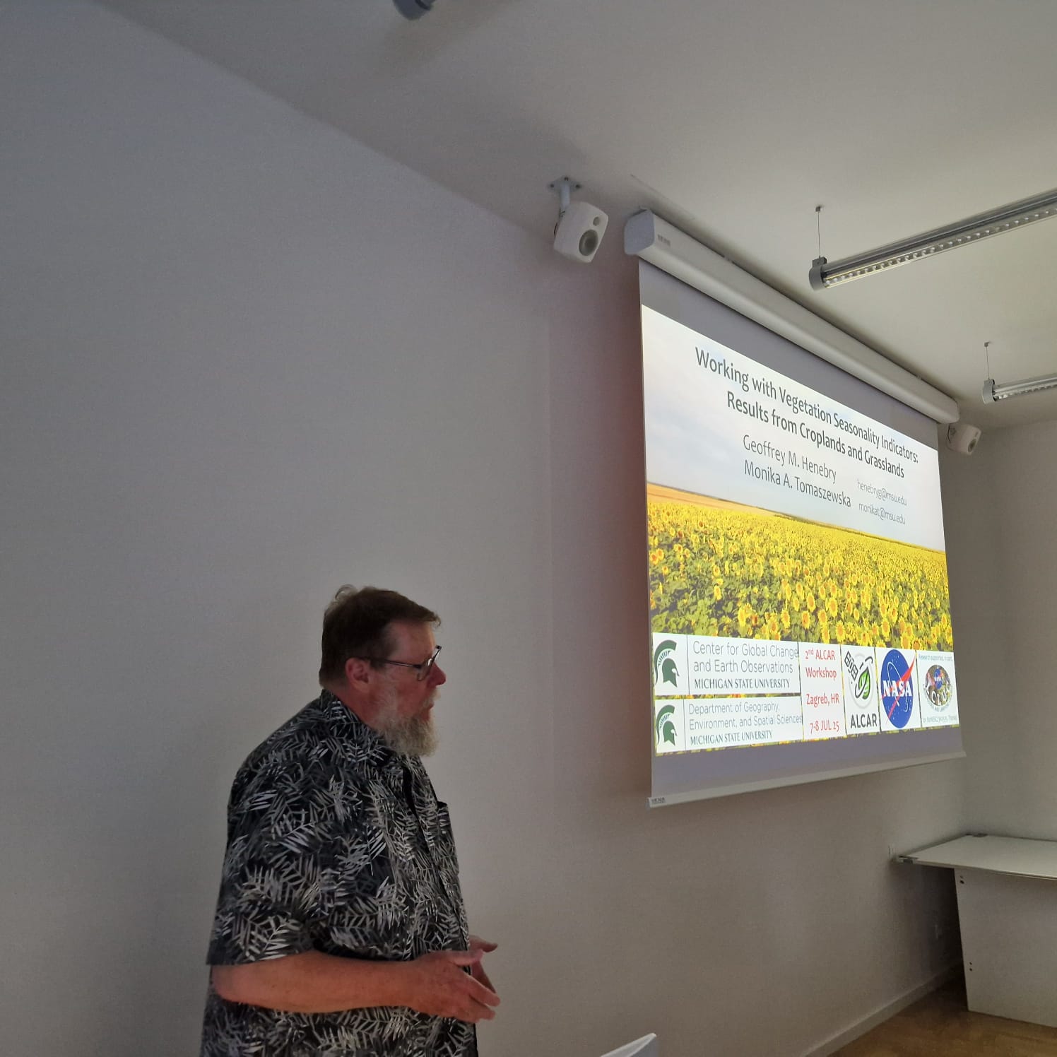
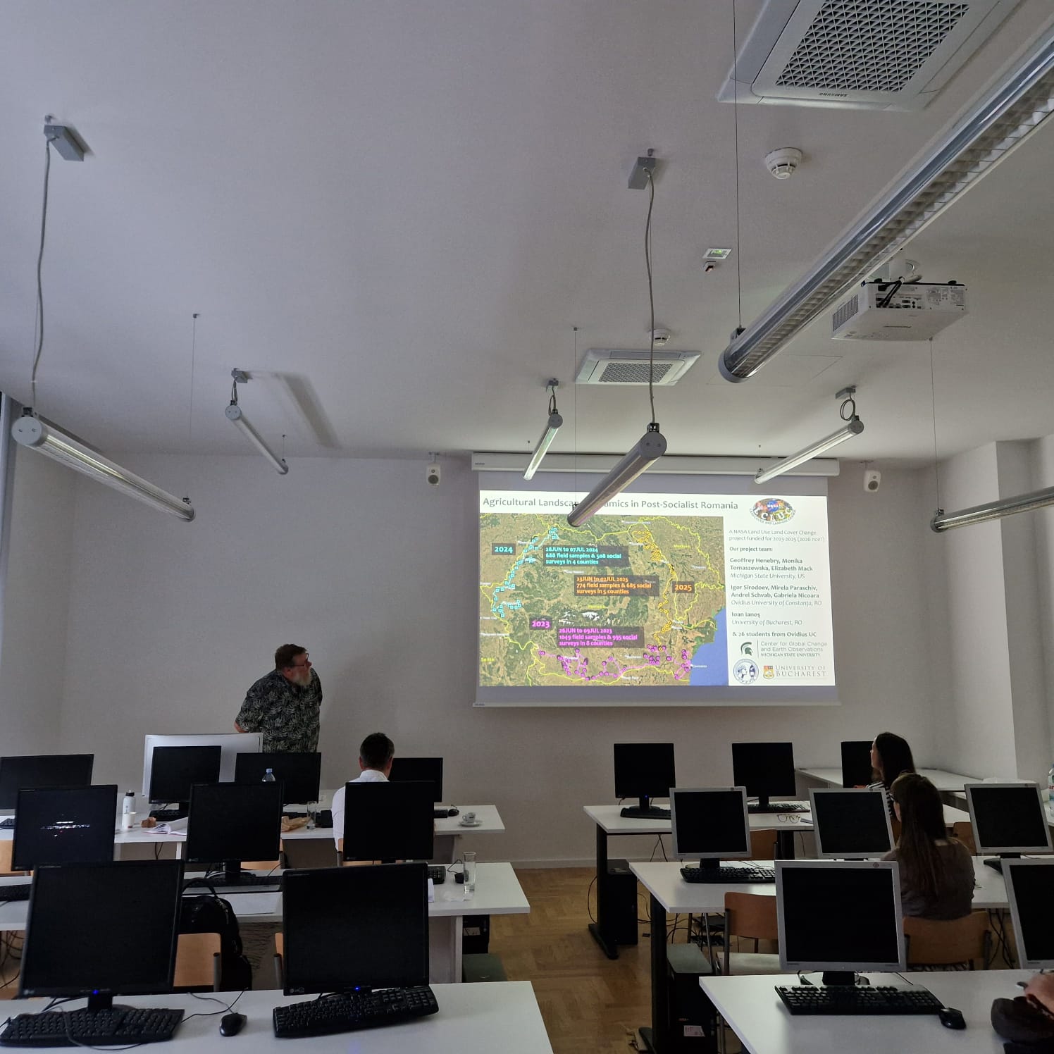
A major highlight of the day was the invited lecture by Full Prof. Geoffrey Henebry titled “Working with Vegetation Seasonality Indicators: Results from Croplands and Grasslands.” Prof. Henebry, a prominent expert in land surface dynamics and phenology, shared critical insights into how seasonal changes in vegetation can be observed and interpreted using Earth observation data. His contribution significantly enriched the scientific depth of the workshop and inspired lively discussion.
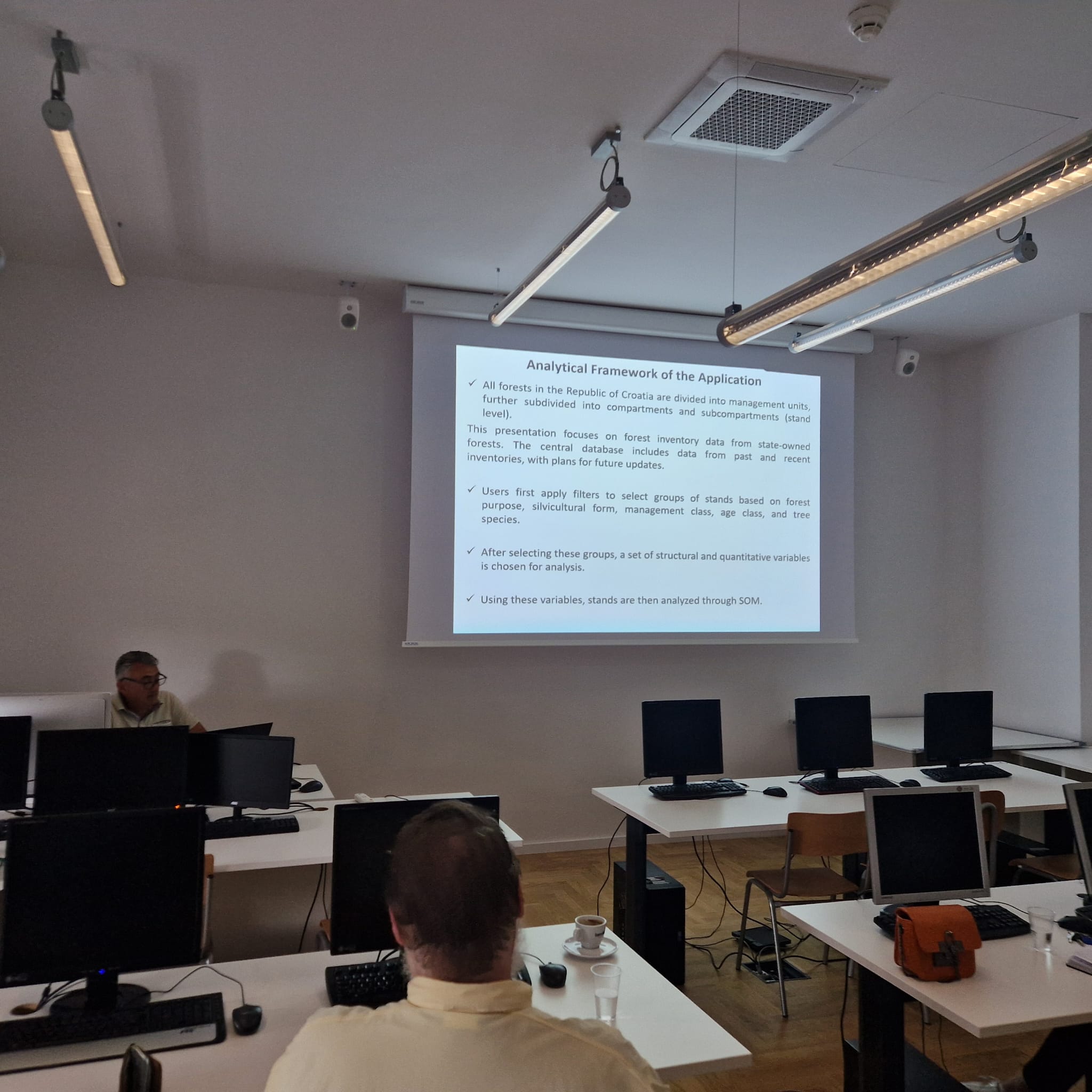
The second day continued with applied research topics and use-case-driven presentations. Dorijan Radočaj, PhD, presented work on combining Sentinel-2 phenology metrics and saturation-resistant vegetation indices to improve correlations with maize yield maps. Damir Klobučar, PhD, introduced KlobiSmartApp, a smart application for forest intelligence.
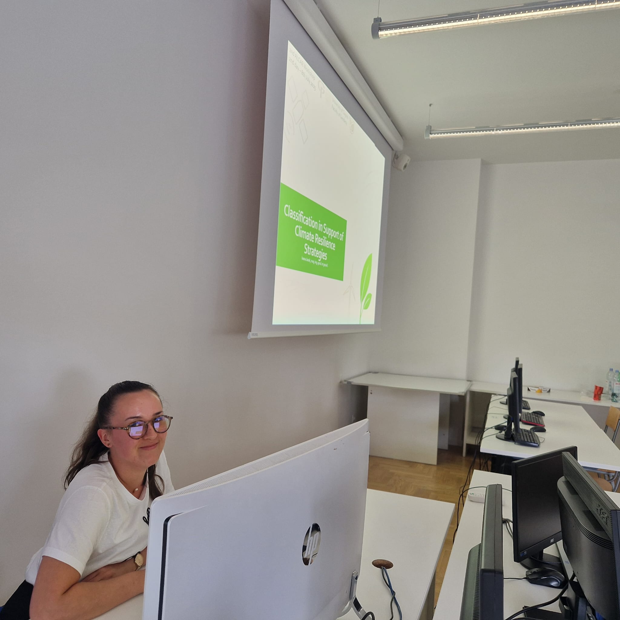
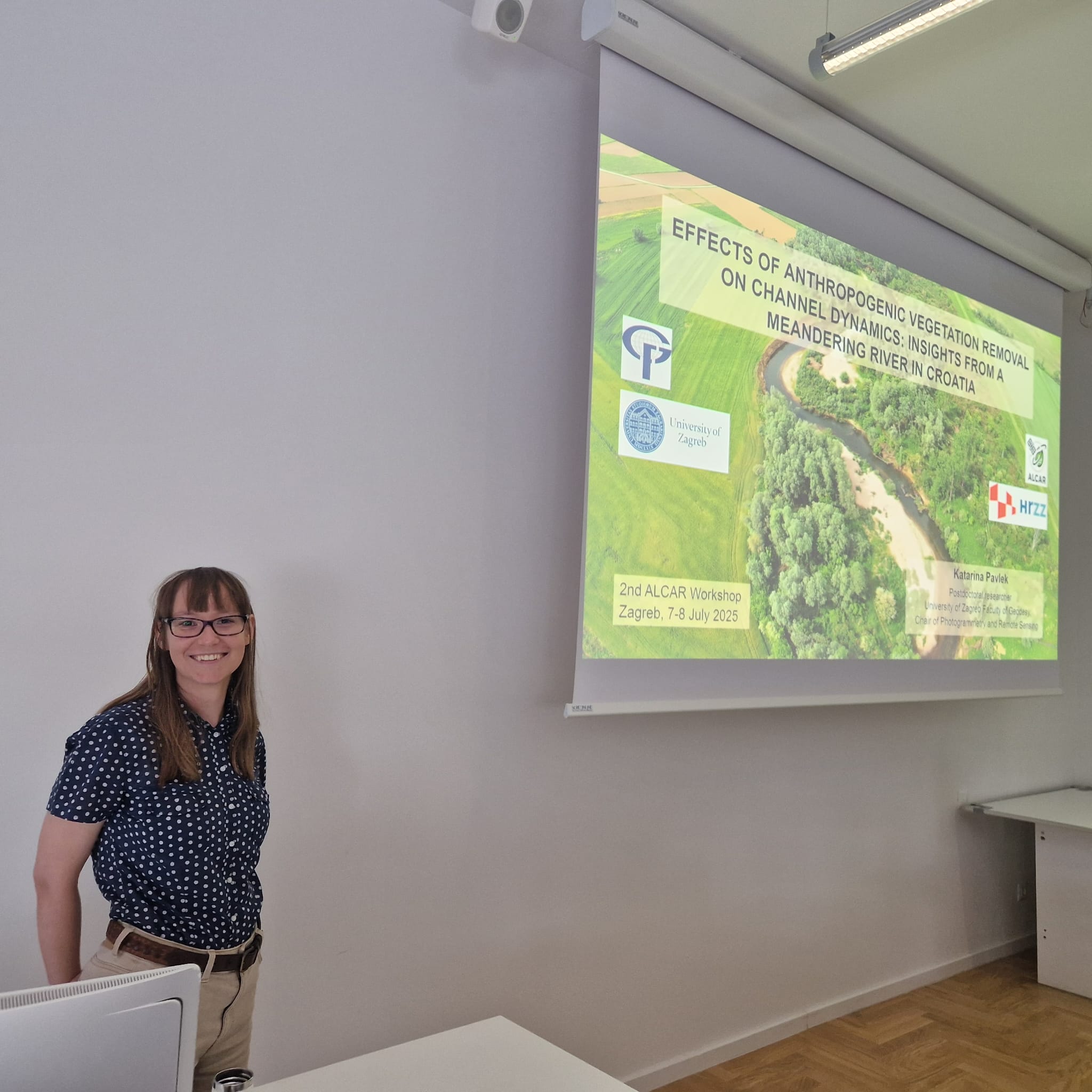
Katarina Pavlek, PhD, presented an analysis of how anthropogenic vegetation removal affects river channel dynamics, using a case study from a meandering river in Croatia. Ivana Jarak followed with a presentation on classification strategies supporting climate resilience.
The day ended with a talk by Filip Radić on integrating remote sensing and machine learning to map phytocoenological forest communities in Croatia, followed by final discussions and the official closing of the workshop.